The best mountain hikes around Bezirk Sissach
5.0
(1)
19
hikers
8
hikes
Mountaineering routes around Bezirk Sissach traverse a varied Jura landscape, characterized by extensively forested hills and significant elevation changes. The topography ranges from 334 to 1001 meters above sea level, offering challenging terrain for demanding mountain-like hikes. This region in Basel-Landschaft features rugged paths, historical castle ruins, and panoramic viewpoints, providing an environment suitable for strenuous physical activity and impressive vistas.
Best mountaineering routes around Bezirk Sissach
- The most popular mountaineering route is Ruins of Neu-Falkenstein Castle – Roggenschnarz loop…
Last updated: July 6, 2026
2
hikers
Moderate mountaineering route. Good fitness required. Mostly accessible paths. Sure-footedness required.
5.0
(1)
3
hikers
11.2km
03:29
410m
410m
Moderate mountaineering route. Good fitness required. Mostly accessible paths. Sure-footedness required.

Sign up for free
4
hikers
3.29km
01:39
250m
250m
Hard mountaineering route. Great for any fitness level. Sure-footedness, sturdy shoes and alpine experience required.
2
hikers
15.3km
04:51
620m
620m
Moderate mountaineering route. Good fitness required. Easily-accessible paths. Suitable for all skill levels.
2
hikers
4.88km
01:40
200m
210m
Moderate mountaineering route. Great for any fitness level. Mostly accessible paths. Sure-footedness required.
2
hikers
14.5km
04:48
610m
600m
Moderate mountaineering route. Good fitness required. Mostly accessible paths. Sure-footedness required.
1
hikers
8.58km
02:19
110m
110m
Moderate mountaineering route. Good fitness required. Easily-accessible paths. Suitable for all skill levels.
1
hikers
12.3km
03:47
410m
410m
Moderate mountaineering route. Good fitness required. Mostly accessible paths. Sure-footedness required.
Our route recommendations are based on thousands of hikes, rides, and runs completed by other people on komoot.
Start today with a free account
Your next adventure awaits.
Login or Signup
Popular around Bezirk Sissach

Mountain Hikes around Läufelfingen
Mountain Hikes around Buckten
Mountain Hikes around Tenniken
Mountain Hikes around Känerkinden
Mountain Hikes around Zunzgen

Via Gottardo – Following historic trails
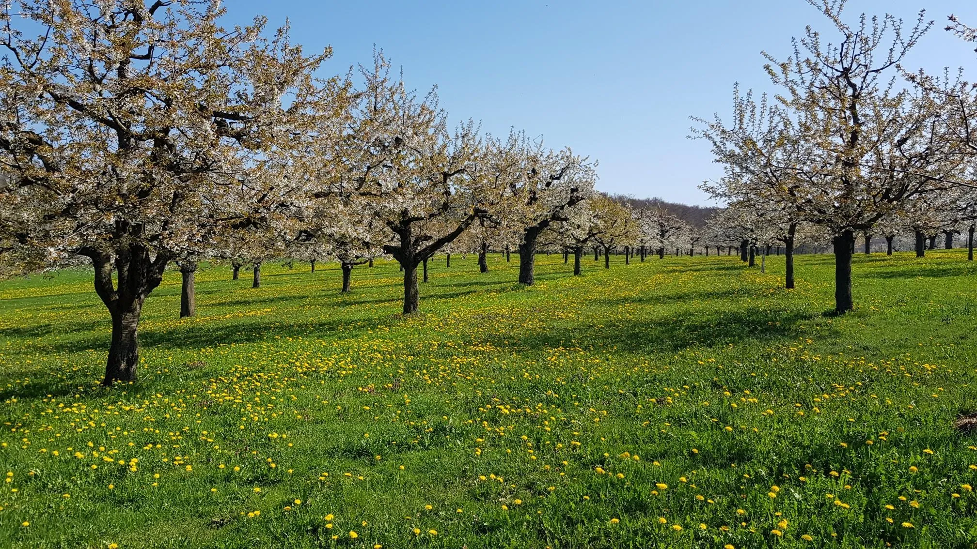
Blossom time around Basel in Switzerland – hike through cherry orchards
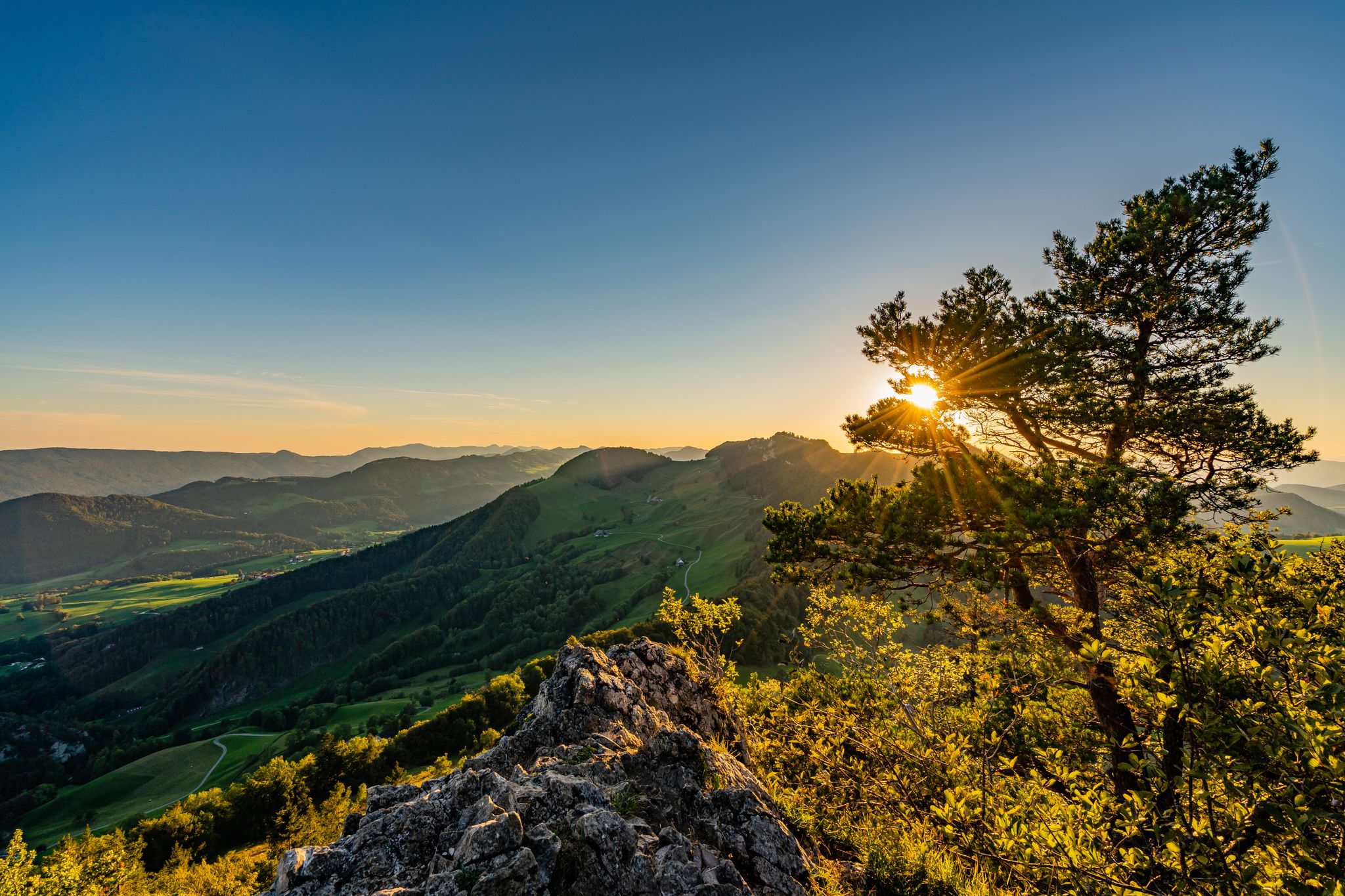
Aussichtsreiche Wanderungen im Baselbiet
Road Cycling Routes around Bezirk Sissach
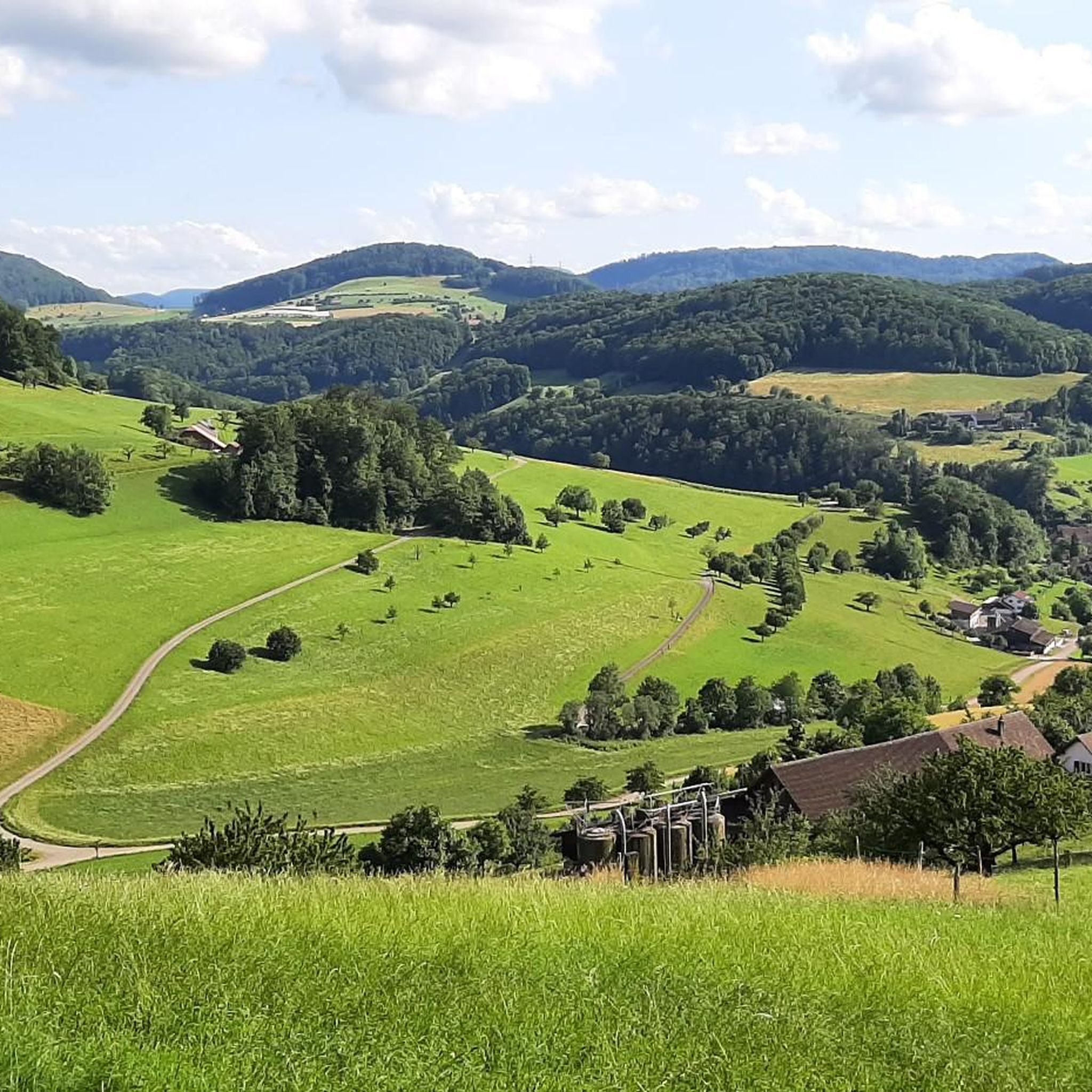
Hiking around Bezirk Sissach
Other adventures around Bezirk Sissach


Tips from the Community

pretty here, very pretty
2
0

Viewpoint with bus stop and bench. Many hiking and biking trails start from here.
0
0

Beautiful mountain lodge as a good starting point for a hike across the Belchenflue.
2
0

The view is dominated on the right by the Farnsberg hill, with the bright, light-colored ruins of Farnsburg Castle perched on its upper slope, visible from afar. A visit to the ruins is highly recommended. From up here, the view sweeps down to the village of Hemmiken and further into the Jura Mountains.
0
0

Ideal resting place with fire pit: carry barbecue food in your backpack!
1
0


A challenging pass in the Tafeljura, the climb is made up of a small road with a maximum gradient of 15% and little traffic. The scenery is very scenic, with magnificent panoramas along the way.
1
1

The mountain lake is a small lake at 382 m above sea level. It is a natural lake up to 13 m deep, which was altered by human hands in 1802 and 1803. At that time, it was called the Black Lake.
0
1
Frequently Asked Questions
How many mountaineering routes are available in Bezirk Sissach?
There are 8 distinct mountaineering routes detailed in this guide for Bezirk Sissach. The region, characterized by its varied Jura landscape, offers over 440 hiking routes in total, providing a wide array of options for outdoor enthusiasts.
Are there challenging mountaineering routes in Bezirk Sissach?
Yes, Bezirk Sissach offers routes with significant elevation changes and rugged terrain. For instance, the Wasserflue Via Ferrata loop from Küttigen is classified as difficult, featuring a via ferrata section. Another challenging option is the Belchenflue Summit Viewpoint – Chilchzimmersattel loop from Langenbruck, which covers 15.4 km with over 600 meters of elevation gain, offering extensive views from the Belchenflue summit.
What kind of natural features can I expect to see on these routes?
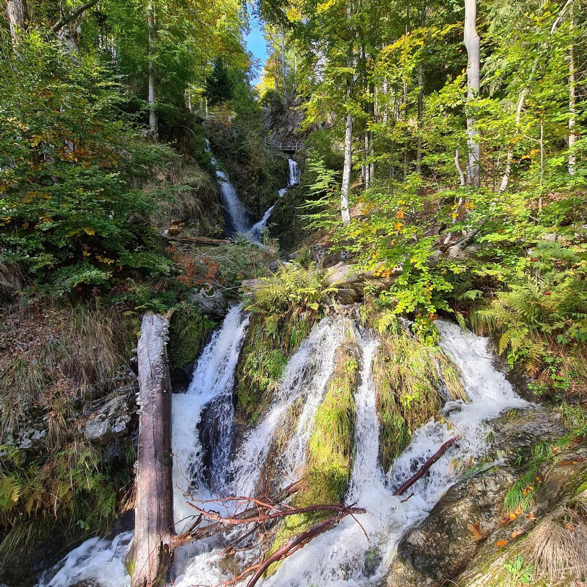
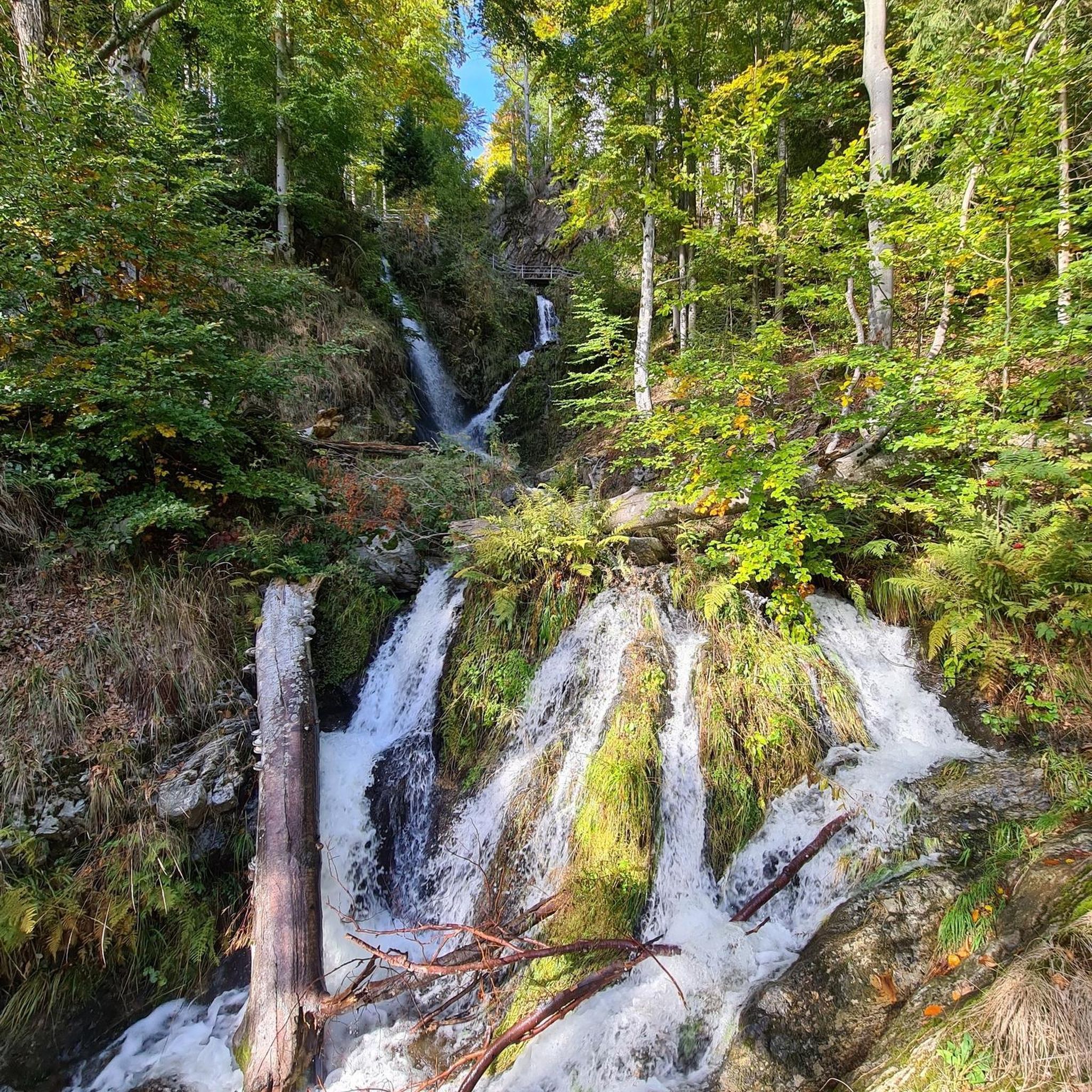
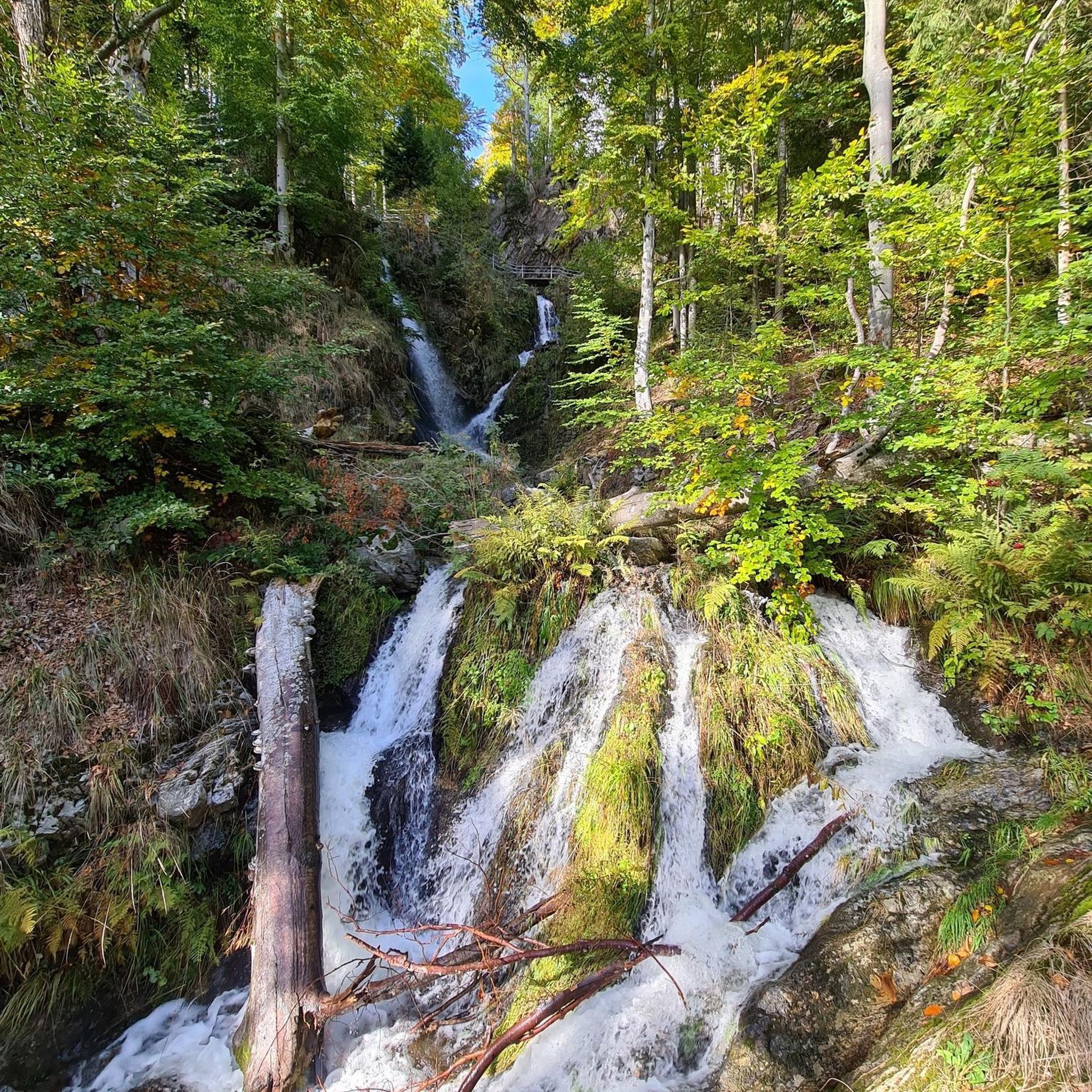
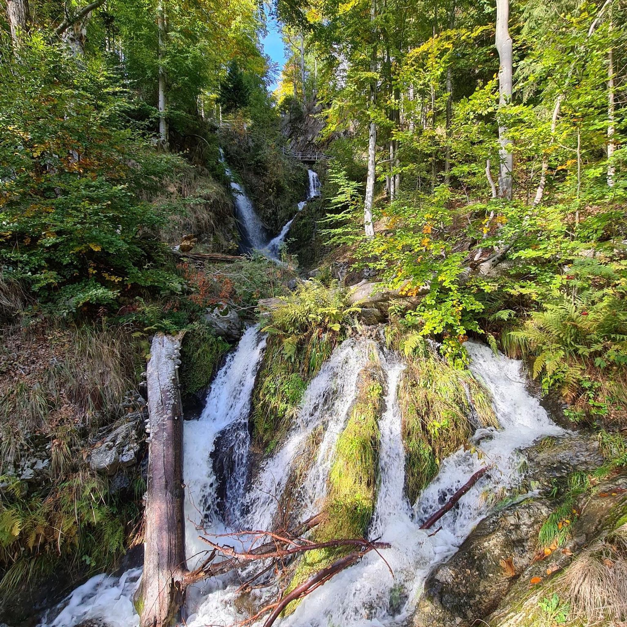
The routes traverse extensively forested hills and offer panoramic views. You can encounter unique natural features like the Bruderloch Cave, an almost 300-meter-long cave system, or the scenic Giessen Waterfall and Lower Giessenfall. The Teufelsküche Rock Formation is another interesting natural monument to explore.
Are there any routes that pass by historical sites or castles?
Absolutely. The region is rich in history, with several routes incorporating medieval castle ruins. The Ruins of Neu-Falkenstein Castle – Roggenschnarz loop from Holderbank SO explores historical ruins and varied forest paths. Another popular choice is the View of the Farnsberg – Farnsburg Castle Ruins loop from Bezirk Sissach, which leads through forested hills and past the impressive Farnsburg Castle Ruins.
What is the best time of year for mountaineering in Bezirk Sissach?
The varied Jura landscape of Bezirk Sissach is enjoyable throughout much of the year. Spring and autumn offer pleasant temperatures and vibrant scenery, while summer provides longer daylight hours. Paths can be rugged, especially in wet conditions, so good footwear is always recommended.
Are there any circular mountaineering routes available?
Yes, many of the routes in Bezirk Sissach are designed as loops, allowing you to start and end at the same point. Examples include the Chilchzimmersattel – Belchenflue Summit Viewpoint loop from Langenbruck, a moderate 11.2 km route, and the Lauchflue – Schellenberg loop from Langenbruck, which is 12 km long.
What do other mountaineers say about the routes in Bezirk Sissach?
The routes in Bezirk Sissach are highly rated by the komoot community, with an average score of 5.0 stars from over 1 review. Mountaineers often praise the varied terrain, the beautiful forested hills, and the impressive panoramic views from peaks like Wisenberg and Belchenfluh.
Are there options for less strenuous or moderate mountaineering?
Yes, while the region offers demanding hikes, there are also moderate options. For example, the Schneelochberg – Schellenberg loop from Belchenflue is a moderate 4.7 km route. Another moderate choice is the Bergsee loop from Wallbach (Baden), which covers 8.4 km with a relatively gentle elevation gain.
Can I find places to eat or stay near the mountaineering trails?
Yes, the region has various huts and restaurants that can serve as resting points or places to refuel. Notable options include the Hupp Lodge, Restaurant Sissacherfluh, and the Stierenstallhütte Gelterkinden. These can be found along or near many of the trails.
Is Bezirk Sissach suitable for family-friendly mountaineering or hiking?
While many routes offer significant elevation changes, the district provides a wide array of tours for various fitness levels. For families, it's advisable to choose shorter, less strenuous paths. The region's extensive forests and historical castle ruins can provide engaging points of interest for children, but always check the specific route's difficulty and duration.
Are dogs allowed on the mountaineering routes in Bezirk Sissach?
Generally, dogs are welcome on hiking trails in the Swiss Jura region, including Bezirk Sissach. However, it's always recommended to keep dogs on a leash, especially in forested areas, near livestock, or in nature reserves. Check local signage for any specific restrictions on individual trails.
How accessible are the mountaineering routes by public transport?
Bezirk Sissach is part of the Swiss public transport network. Many trailheads are accessible via train or bus, particularly in and around the larger villages. Planning your route with public transport in mind is often feasible, allowing for point-to-point hikes or easy access to circular routes.
Most popular routes around Bezirk Sissach
Most popular attractions around Bezirk Sissach

Get inspired with the komoot mobile app


Didn’t find what you were looking for?
Check out more Mountain Hikes & Routes throughout Bezirk Sissach below and find the perfect route in your destination.
Explore more
Browse the best Mountain Hikes & Routes in other regions.
