The best running trails in Grunnfør Dyrefredningsområde
62
runners
3
runs
Jogging in Grunnfør Dyrefredningsområde offers routes through a landscape characterized by dramatic coastal scenery and views of the open ocean. The area, part of the Lofoten Islands, features diverse terrain ranging from accessible paths to more challenging ascents. Runners can expect to encounter the majestic peaks of Vesterålen as a backdrop, with many trails providing panoramic vistas. The region's natural features make it suitable for various running preferences.
Best jogging routes in Grunnfør Dyrefredningsområde
- The most popular jogging route is…
Last updated: July 4, 2026
19
runners
13.3km
02:37
800m
800m
Hard run. Very good fitness required. Sure-footedness, sturdy shoes and alpine experience required.
31
runners
15.3km
02:33
780m
780m
Hard run. Very good fitness required. Sure-footedness, sturdy shoes and alpine experience required.

Sign up for free
12
runners
5.52km
00:34
20m
20m
Moderate run. Good fitness required. Mostly paved surfaces. Suitable for all skill levels.
Our route recommendations are based on thousands of hikes, rides, and runs completed by other people on komoot.
Start today with a free account
Your next adventure awaits.
Login or Signup
Popular around Grunnfør Dyrefredningsområde
Tips from the Community

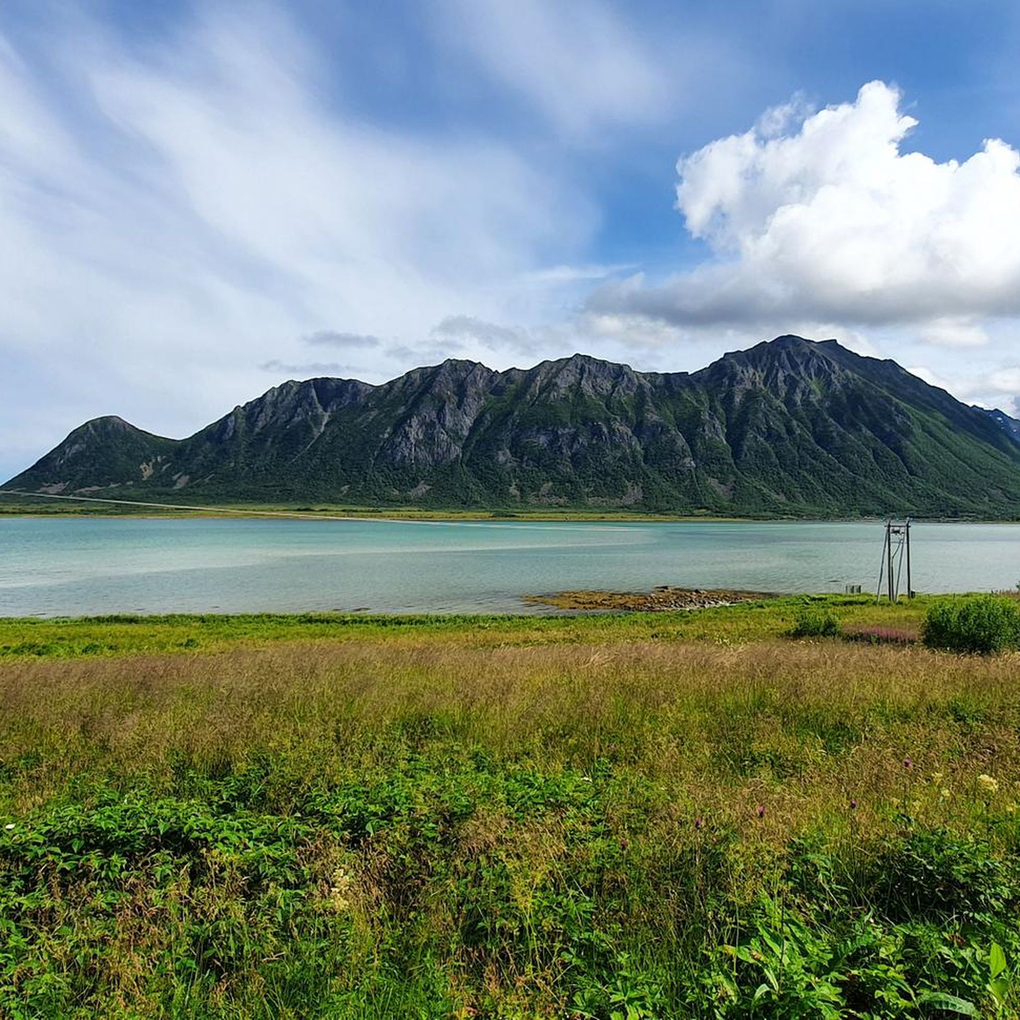
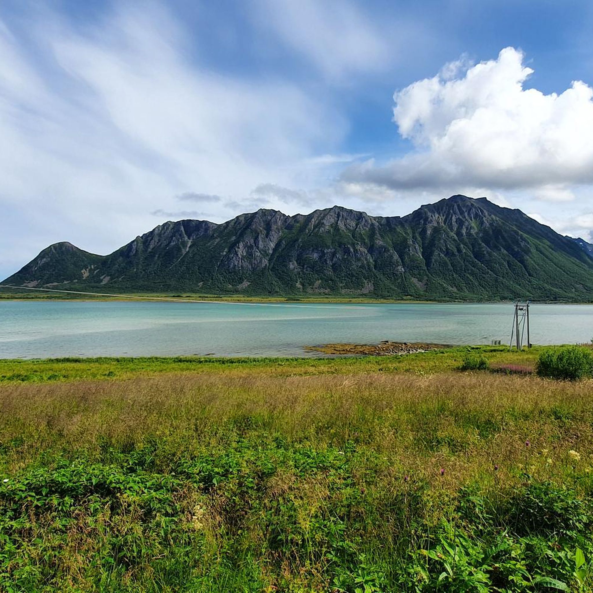
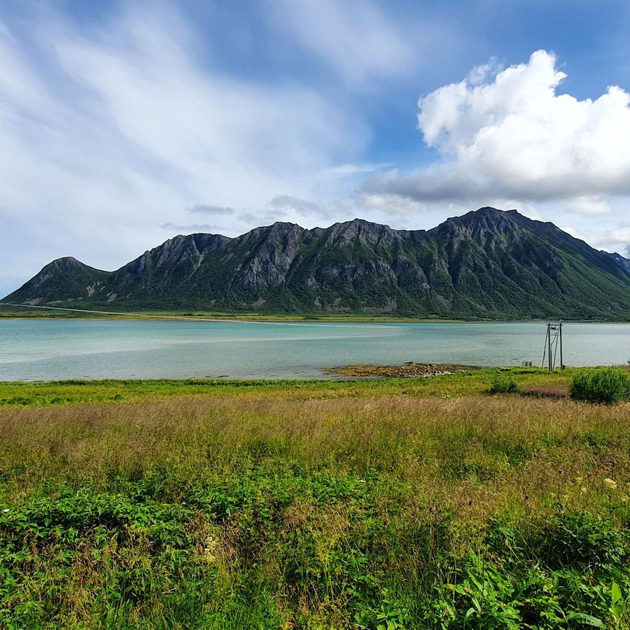
This wide plateau is in stark contrast to the airy Matmora ridge to the south. However, the views are similarly superb, especially across Grunnførfjorden and the peaks that form a crown above Storvatnet. From here, its a short hike to Matmora, which is a sensational ridge to traverse.
0
0
The early stages on the ascent to the Matmora ridge reveal some lovely views across towards Laukvik and beyond towards Festvågtinden and Gimsøya. This section is either the start or finish of the Lofoten Long Crossing long-distance trail, a stunning traverse of the archipelago.
0
0
Matmora is the 788-metre (2,585 ft) summit of what is a stunning ridge traverse, with some photogenic pinnacles that lean across the void. Narrow, airy and spectacular, it's a real highlight of the Lofoten Long Crossing long-distance trail. Expect superb views across the archipelago's jagged peaks and down to Grunnførfjorden.
0
0

It is worth climbing up from the north (hiking car park => Plus Code CG23+G2) as you have a wonderful view of the sandbank for long stretches. If possible, I would also plan the hike so that you are at the summit at high tide, as the different colors of the sea are more noticeable then.
1
0

Nice spot to look at Laukvik and the mountains behind it!
0
0

Frequently Asked Questions
How many running routes are available in Grunnfør Dyrefredningsområde?
There are 5 dedicated running routes in Grunnfør Dyrefredningsområde, offering a range of experiences from moderate to difficult. These trails are designed to showcase the region's unique coastal and mountain scenery.
What are the difficulty levels of the jogging routes in this area?
The majority of jogging routes in Grunnfør Dyrefredningsområde are considered difficult, featuring significant elevation gain and varied terrain. There is one moderate route available for those seeking a less strenuous run. For example, the Nordtjønna loop from Nautøya is a moderate option, while the Sørvest for Gjersvollheia – Matmora loop from Delp is a challenging, longer run.
Are there any easier running options for beginners or those looking for a quicker run?
Yes, for a more accessible run, consider the Nordtjønna loop from Nautøya. This moderate 3.4-mile (5.4 km) path has minimal elevation gain, making it suitable for a quicker or less demanding jogging experience.
What kind of scenery can I expect on the running trails in Grunnfør Dyrefredningsområde?
Runners can expect breathtaking scenery characterized by the open ocean, dramatic coastal landscapes, and panoramic views of the majestic peaks of Vesterålen. The area's location on the seaward side of Austvågøy island ensures extensive ocean and mountain vistas throughout your run.
Are there any circular running routes available?
Yes, all the featured running routes in Grunnfør Dyrefredningsområde are circular loops. This allows you to start and finish at the same point, such as the Hesttjønna – Haraldtjønna loop from Strandlandet kirke or the Matmora loop from Jordholman.
Can I bring my dog on the jogging trails?
While Grunnfør Dyrefredningsområde is a nature reserve, dogs are generally welcome on trails in Norway, often requiring them to be on a leash, especially during nesting seasons or near livestock. It's always best to check local signage for specific regulations within the reserve to ensure a pleasant experience for everyone.
Are the running routes suitable for families with children?
Given that most routes are rated difficult with significant elevation, they might be challenging for younger children. However, the moderate Nordtjønna loop from Nautøya could be a suitable option for active families looking for a shorter, less strenuous outing.
Is there parking available near the trailheads?
While specific parking facilities for each trailhead are not detailed, nature areas like Grunnfør Dyrefredningsområde typically have designated parking spots near popular access points. It is advisable to check maps or local information for the most convenient parking for your chosen route.
What is the best time of year to go jogging in Grunnfør Dyrefredningsområde?
The best time to visit for jogging is generally during the warmer months, from late spring to early autumn (May to September), when the weather is milder and trails are clear of snow. This period also offers the best conditions to enjoy the extensive ocean and mountain views.
Are there any facilities or viewpoints along the running routes?
Yes, within Grunnfør Dyrefredningsområde, there is a dedicated rest area and viewpoint. This facility offers an excellent spot to pause and appreciate the extensive ocean and mountain views, providing a perfect break during your run.
What do other runners enjoy most about jogging in Grunnfør Dyrefredningsområde?
Runners frequently praise the stunning natural environment and the dramatic coastal scenery. The opportunity to experience 360-degree panoramic vistas of the open ocean and the peaks of Vesterålen is a highlight for many who explore these trails.
Are there any longer, more challenging runs for experienced athletes?
Absolutely. For experienced runners seeking a significant challenge, routes like the Hesttjønna – Haraldtjønna loop from Strandlandet kirke, at 9.5 miles (15.3 km) with substantial elevation, or the Dalsvatnet – Strøna loop from Engøya, which is 10.5 miles (10.5 km) and also difficult, offer demanding and rewarding experiences.
Most popular routes in Grunnfør Dyrefredningsområde

Get inspired with the komoot mobile app


Explore more
Browse the best Running Trails & Routes in other regions.
