Routes

Planner

Features

Updates

App

Login or Signup

Get the App

Login or Signup

Routes
Road cycling routes
Canada
British Columbia

Area C (Chilako River/Nechako)

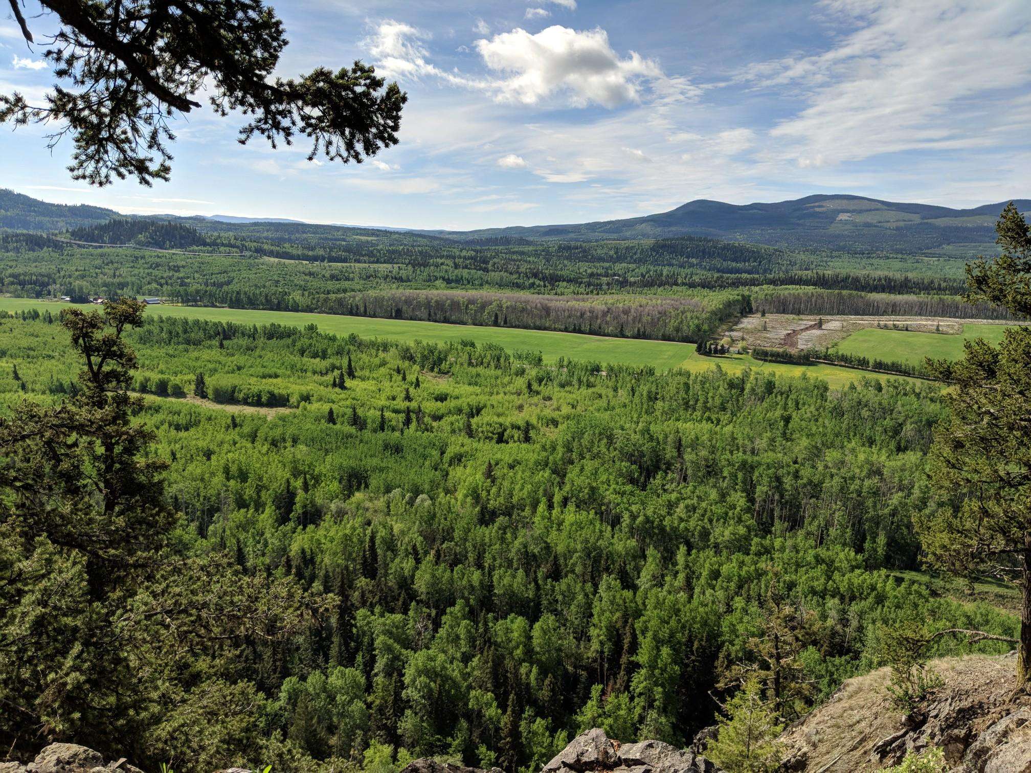
Photo: Jon

The best road cycling routes around Area C (Chilako River/Nechako)

60

riders

7

rides

Road cycling around Area C (Chilako River/Nechako) features routes primarily along the Nechako River and through areas offering city views near Prince George. The terrain includes varied elevation gains, with routes ranging from easy to moderate difficulty. The region's landscape is characterized by river valleys and surrounding natural areas, providing a mix of open stretches and some climbs.

Best road cycling routes around Area C (Chilako River/Nechako)

  • The most popular road cycling route is Nechako River loop from Prince George, a 29.4 miles (47.3 km) trail that takes 2 hours 20 minutes to complete. This route follows the Nechako River, offering views of the waterway and surrounding landscape.
  • Another top favourite among local road cyclists is Cycle Logic Bike Shop – Visitor Centre Prince George loop from Prince George, a moderate 32.9 miles (53.0 km) path. This circular route starts and ends in Prince George, covering a significant distance with notable elevation changes.
  • Local road cyclists also love the Nechako River – City view loop from Loyola Park, a 19.4 miles (31.3 km) trail leading through riverine areas and offering city views, often completed in about 1 hour 28 minutes.
  • Road cycling around Area C (Chilako River/Nechako) is defined by river valleys, urban fringes, and varied elevation, with routes offering options for different ability levels, including easy road bike trails Nechako River.
  • The guide includes highly-rated routes that showcase the best of the region's landscape. More than 53 road cyclists have used komoot to explore Area C (Chilako River/Nechako)'s varied terrain.

Last updated: July 5, 2026

20

riders

#1.

Nechako River loop from Prince George

47.3km

02:21

250m

250m

Moderate road ride. Good fitness required. Mostly well-paved surfaces and easy to ride.

Navigate with device

Send to Phone

Save

Moderate

Easy road ride. Great for any fitness level. Mostly well-paved surfaces and easy to ride.

Easy
guide_signup
Let us show you the way with the komoot mobile app
With a free komoot account, you can easily find, customize, and navigate endless outdoor adventures.

Sign up for free

Moderate road ride. Good fitness required. Some segments of this route may be unpaved and difficult to ride.

Moderate

Moderate road ride. Good fitness required. Mostly well-paved surfaces and easy to ride.

Moderate
Sign up for free to see 4 more rides around Area C (Chilako River/Nechako).

Get access to more routes and recommendations from other explorers.

Sign up for free

Already have an account?

Our route recommendations are based on thousands of hikes, rides, and runs completed by other people on komoot.

Start today with a free account

Your next adventure awaits.

Login or Signup

Popular around Area C (Chilako River/Nechako)
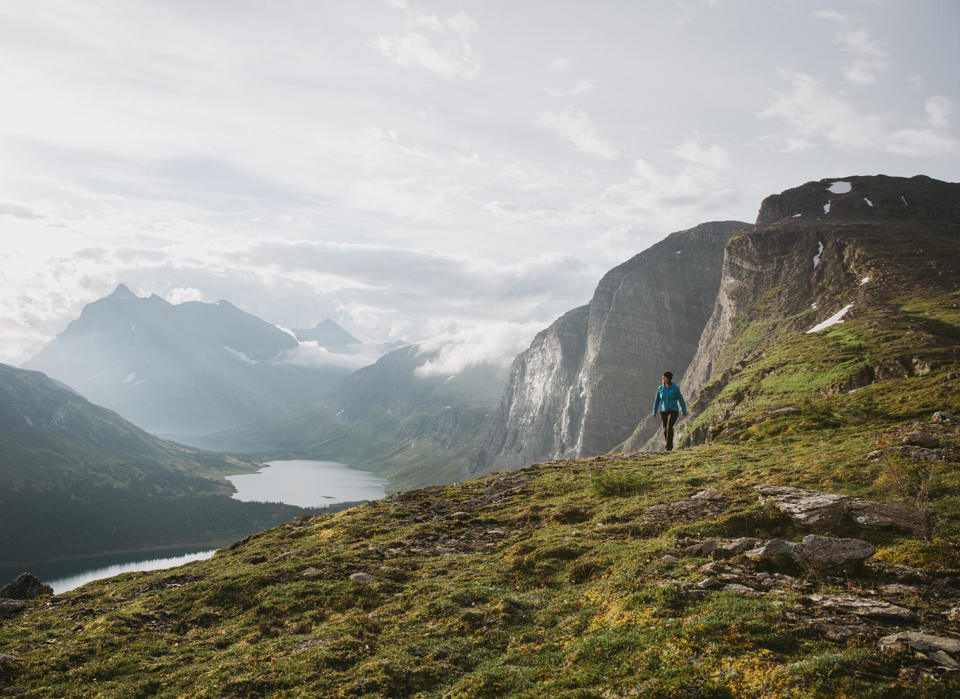
The Great Wilderness – hiking in the vastness of British Columbia

The Great Wilderness – hiking adventures in vast British Columbia

Hiking around Area C (Chilako River/Nechako)
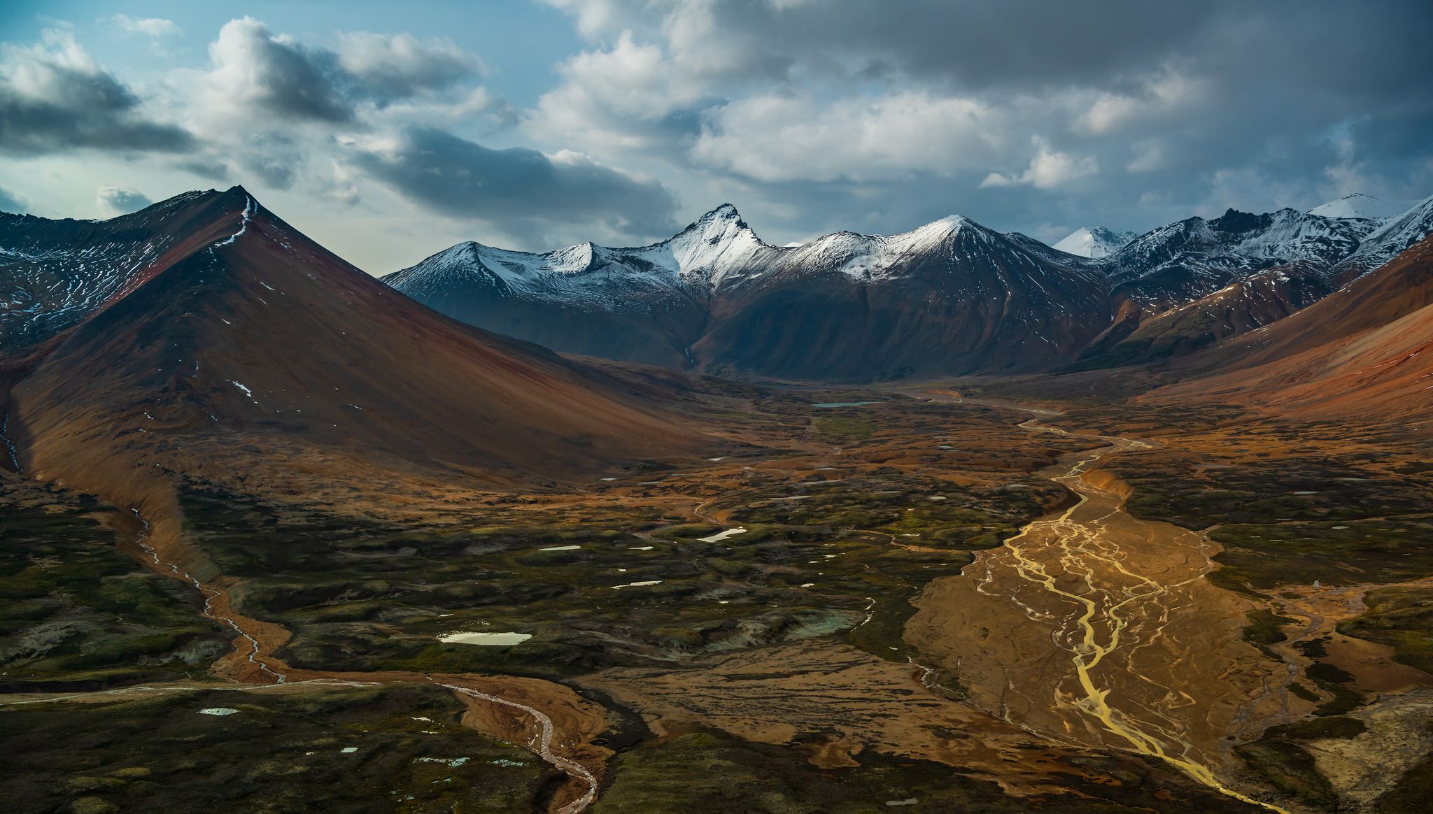
Running Trails around Area C (Chilako River/Nechako)
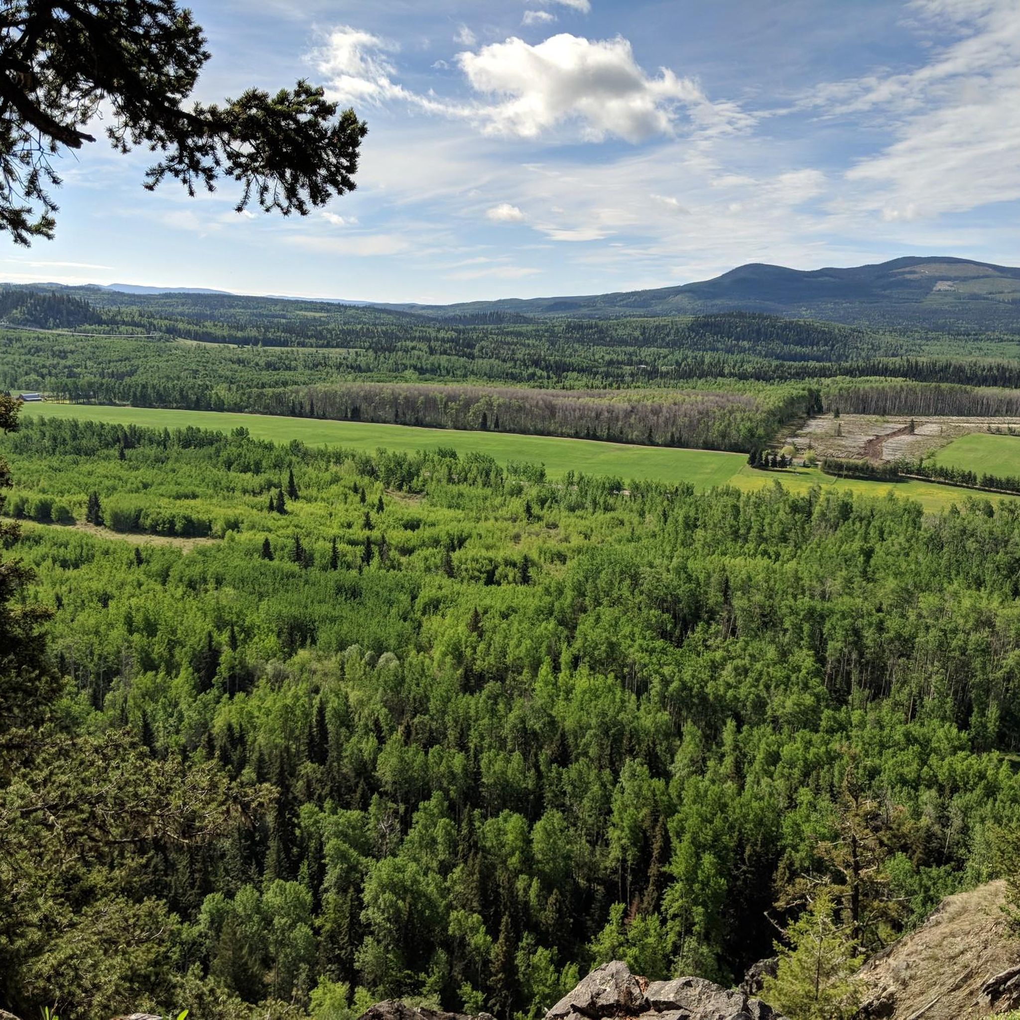
Cycling around Area C (Chilako River/Nechako)
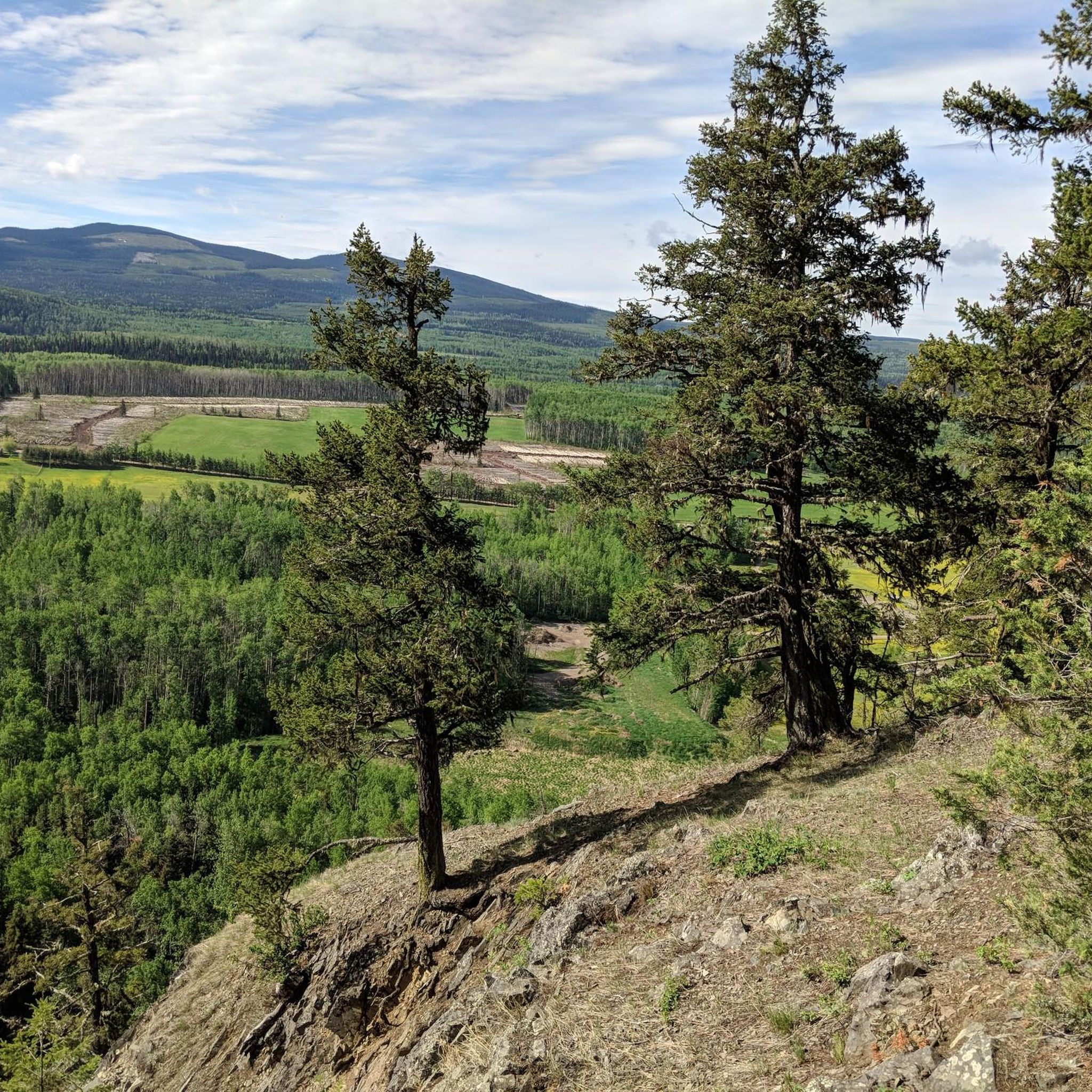
Other adventures around Area C (Chilako River/Nechako)
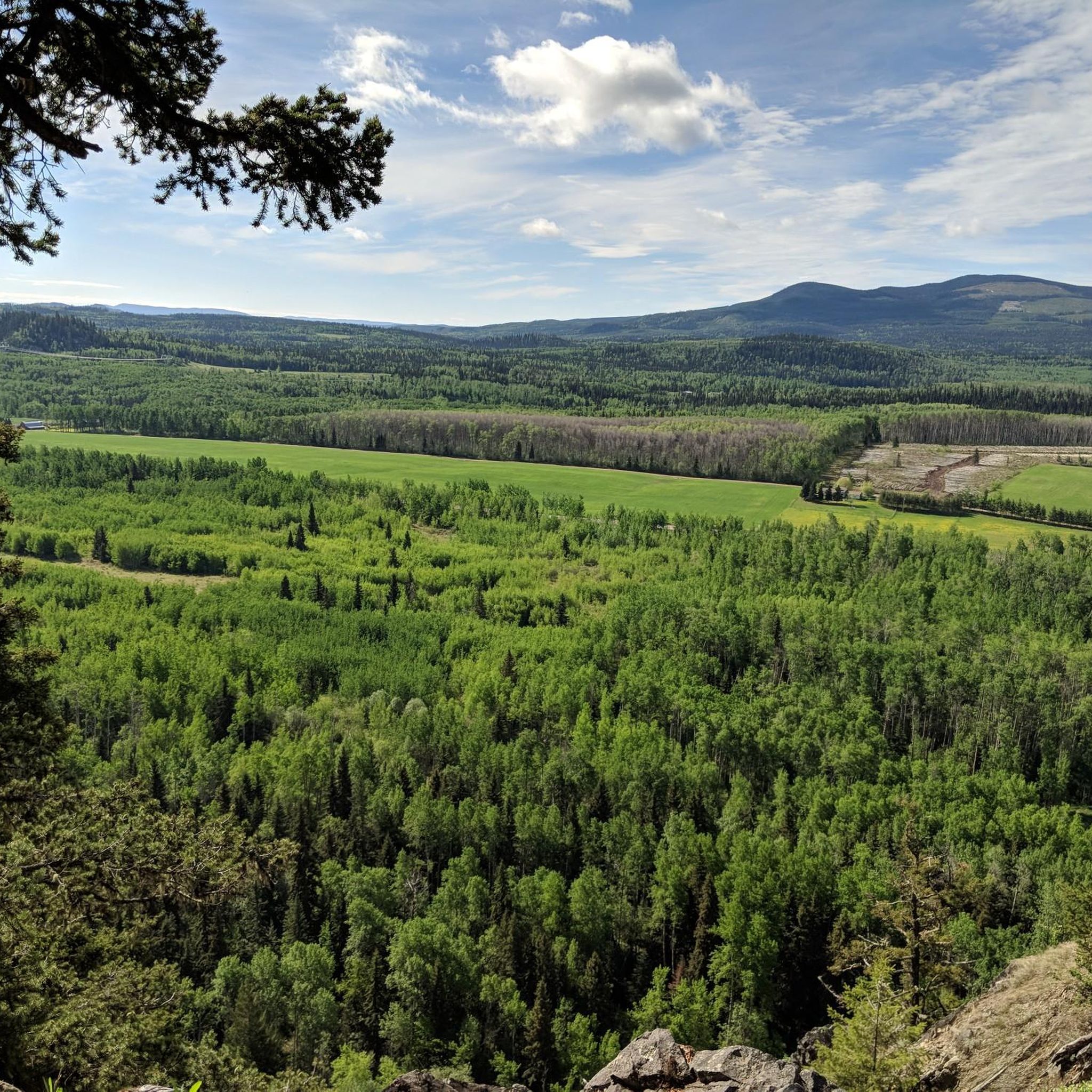
The Great Wilderness – hiking in the vastness of British Columbia

Hiking Collection by

Destination Canada

Tips from the Community

Evelyn Scheer / unser BW
August 28, 2024, Visitor Centre Prince George

Come to the visitor centre in the Canada Games Plaza for personalised, friendly advice on outdoor activities in the region. Otherwise you can simply browse the expansive range of hiking and leisure activities brochures. The site is currently being remodelled, but there is a temporary information container for visitors. You can find more information here: https://tourismpg.com/

Translated by Google

0

0

Good bikeshop and lovely staff! Let us clean our bikes for free.

0

0

Nice bike shop and lovely staff

0

0

Frequently Asked Questions

How many road cycling routes are available in Area C (Chilako River/Nechako)?

There are over 7 road cycling routes documented on komoot for Area C (Chilako River/Nechako), catering to various skill levels. These routes primarily follow the Nechako River and offer views near Prince George.

Are there easy road cycling routes suitable for beginners in Area C (Chilako River/Nechako)?

Yes, Area C offers routes suitable for beginners. An easy option is the Cycle Logic Bike Shop – Visitor Centre Prince George loop from Prince George, which covers about 25 km with moderate elevation gain, making it a good choice for those new to road cycling in the area.

What are some challenging road cycling routes in the region?

For a more challenging ride, consider the Cycle Logic Bike Shop – Visitor Centre Prince George loop from Prince George. This route spans 53 km and features over 400 meters of elevation gain, providing a significant workout for experienced cyclists.

Are there circular road cycling routes around Chilako River?

Many of the routes in Area C are circular, offering convenient starting and ending points. A popular circular option is the Nechako River loop from Prince George, which is a 47.3 km trail following the river and returning to its starting point.

What scenic viewpoints can I find along the road cycling routes?

The routes often provide scenic views of the Nechako River and surrounding landscapes. For specific viewpoints, you might enjoy the vistas from Connaught Hill Park, which is accessible from some routes and offers panoramic city views.

What is the best season for road biking in Area C (Chilako River/Nechako)?

The best season for road biking in Area C is typically from late spring through early autumn (May to September). During these months, the weather is generally mild, and the roads are clear of snow and ice, offering optimal cycling conditions.

Are there any attractions or landmarks to explore near the road cycling routes?

Yes, there are several points of interest. You could visit Lheidli T'enneh Memorial Park, a significant cultural site, or even the unique Lloyd’s Classic Auto Parts Vintage Cars. For a natural wonder, Hixon Falls is also in the broader region.

Where can I find parking for road cycling routes in Area C?

Many routes start and end in Prince George, implying access to urban parking facilities. For example, routes like the City view loop from Prince George typically begin in areas where public parking is available, making it convenient to access the trails.

Are there any long-distance road cycling routes in the Nechako area?

While the region offers several moderate-distance routes, the longest documented route is the Cycle Logic Bike Shop – Visitor Centre Prince George loop from Prince George, at approximately 53 km. This provides a substantial ride for those looking for a longer day out on the road.

What do other road cyclists enjoy most about road cycling in Area C (Chilako River/Nechako)?

Road cyclists using komoot often praise the varied terrain, which includes river valleys and urban fringes, offering a mix of open stretches and some climbs. The routes provide a good balance of natural scenery and city views, making for an engaging cycling experience.

Can I access the road cycling routes using public transport in Prince George?

Given that many routes originate from Prince George, it is generally possible to reach the starting points via local public transport. Cyclists can plan their journey to a suitable bus stop near the beginning of their chosen route, such as the Nechako River – City view loop from Loyola Park.

Most popular routes around Area C (Chilako River/Nechako)

Hiking around Area C (Chilako River/Nechako)

Most popular attractions around Area C (Chilako River/Nechako)

Places to see

Store rating

Get inspired with the komoot mobile app

With a free komoot account, you can easily find, customize, and navigate endless outdoor adventures.

or

Join komoot Now

Store rating

Explore more

Browse the best Road cycling routes in other regions.

VancouverCoast MountainsElectoral Area ARocky MountainsVictoriaBurnabyVictoria Harbour Migratory Bird SanctuaryCypress Provincial ParkMetro Vancouver Regional ParksGrouse Mountain Regional ParkStanley Park National Historic SiteSelkirk MountainsOkanagan-Similkameen DCapilano WatershedSaanichPacific Spirit Regional ParkOak Bay Islands Ecological ReserveColony Farm Regional ParkPinecone Burke Provincial ParkMinnekhada Regional ParkSkaha Bluffs Provincial ParkEast Central Okanagan Electoral AreaLynn Headwaters Regional ParkRichmondMonashee MountainsVancouver IslandTəmtəmíxʷtən/Belcarra Regional ParkBurnaby Mountain Conservation AreaBurnaby Lake Regional ParkCapilano River Regional ParkLower Seymour Conservation ReserveOkanagan LakeMaple RidgeLangleyMount Seymour Provincial ParkBuntzen Lake Recreation AreaCoquitlam WatershedEagle Mountain Recreation SiteSurrey Bend Regional ParkIona Beach Regional ParkSalt Spring Island Electoral AreaDeltaBurns Bog Ecological Conservancy AreaPitt MeadowsMyra-Bellevue Provincial ParkGoldstream Provincial ParkArea A (Baynes Sound)Area C (Pemberton Valley/Mount Currie/D'Arcy)Upper Trent River WoodlandsK'Ómoks Royston LandsPurcell MountainsBear Creek Provincial ParkPitt LakeGaribaldi Provincial ParkArea C (Inkaneep/Willowbrook)North Okanagan BCrown Land ReserveNanaimoDeas Island Regional ParkStephens Coyote Ridge Regional ParkCentral Okanagan JArea C (Puntledge/Black Creek)Area F (Trout Creek Valley)Area E (Naramata/Greyback)Area A (Osoyoos Lake)Seal Bay Regional Nature ParkSurreyComox Valley B (Lazo North)Kanaka Creek Regional ParkAlaksen National Wildlife AreaSunshine Coast Regional DistrictArea D (Elaho/Garibaldi)Capital GRobert'S Lake Regional ParkMount Maxwell Ecological ReserveCowichan Valley GArea D (Trinity/West Creighton)George C. Reifel Migratory Bird SanctuaryFraser Islands Regional Park ReserveNorth SaanichAbbotsfordArea C (Arrowsmith-Benson)Area E (Chilliwack River Valley)Central SaanichFraser River Delta -- RamsarArea E (Balfour/Cottonwood Lake)Sooke Hills Wilderness Regional ParkOkanagan Mountain Provincial ParkNanaimo GTynehead Regional ParkArea D (Falkland/Silver Creek)Burgoyne Bay Provincial ParkȽáu,Welṉew̱/John Dean Provincial ParkSea To Sea Regional ParkNanaimo EArea D (Oyster Bay/Buttle Lake)North Cowichan Municipal Forest ReserveGowlland Tod Provincial ParkArea B (Shawnigan Lake)Cougar Canyon Ecological ReserveVedder Mountain Interpretative ForestMount Gardner Recreation SiteArea G (Deroche/Dewdney/Sumas Mountain)Mill Farm Regional Park ReserveMount Tuam Ecological ReserveNorth CowichanArea F (Grindrod/Ashton Creek/Mabel Lake)Area F (Alberni Highway)Area G (Upper Similkameen/Hedley)Hillkeep Regional ParkFraser River Ecological ReserveBrackendale Eagles Provincial ParkStawamus Chief Provincial ParkTantalus Provincial ParkMount Maxwell Provincial ParkSatellite Channel Ecological ReserveWhistler Interpretive ForestArea A (Wynndel/Crawford Bay/Riondel)Beaver Lodge Forest LandsRathtrevor Beach Provincial ParkKalamalka Lake Provincial ParkSumas Mountain Regional ParkCowichan Valley FArea B (Cawston/Lower Similkameen)Alice Lake Provincial ParkUpper Puntledge River WoodlandsSpallumcheenArea L (Grasslands)Woodley Range Ecological ReserveArea P (Rivers and the Peaks)Area J (Copper Desert Country)Area C (Moyie/Bull River)Bowen Island Ecological ReserveCrippen Regional ParkFraser Valley DCowichan River Provincial ParkArea B (Discovery Islands/Mainland Inlets)Fintry Provincial ParkCultus Lake Provincial ParkBoundary Bay Regional ParkShowh Lakes-Ancient Cedars Trail Recreation SiteBlackcomb Glacier Provincial ParkOwl Lake Recreation ReserveKootenay LakeGlen Valley Regional ParkTsable Lakes WoodlandsArea J (Lower Arrow/Columbia)Area B (Lower Columbia/Old Glory)Shuswap LakeArea C (Blind Bay/Sorrento)Elk Falls Provincial ParkArea D (Lardeau Valley/Duncan Lake)West Arm Provincial ParkEllison Provincial ParkBrohm Lake Day Use Recreation SiteBrohm Lake Interpretive Forest TrailsHarrison LakeArea C (Sasquatch Country)Area D (Tabor Lake/Stone Creek)Area A (Kyuquot/Nootka/Sayward)Area H (The Slocan Valley)Area H (Lighthouse Country)Sooke Mountain Provincial ParkBrandywine Falls Provincial ParkLarch Hills Trails Recreation SiteMount Richardson Provincial ParkArea F (McConnell Creek/Hatzic Prairie)Campbell Valley Regional ParkKokanee Creek Provincial ParkRuckle Provincial ParkArea F (Willow River/Upper Fraser)Kokanee Glacier Provincial ParkGolden Ears Provincial ParkNairn Falls Provincial ParkArea G (Salmo Valley)Area C (Summit Creek/Leach Lake)Area B (Goat River Valley)Ayum Creek Regional Park ReserveCowichan LakeArea I (Youbou / Meade Creek)Blaney Bog Regional Park ReserveUbc Malcolm Knapp Research ForestAlouette LakeArea A (Kicking Horse/Kinbasket Lake)Valhalla Provincial ParkSlocan LakeCodd Wetland Ecological Conservancy AreaArea E (Eagle River Valley)

Nearby adventure guides

Things to Do around Area A (Salmon River/Lakes)

Things to Do in Marble Range Provincial Park

background

Get ready to conquer new peaks

Sign up for Free

Explore
RoutesRoute plannerFeaturesHikesMTB TrailsRoad cycling routesBikepackingSitemap
Download the app
Follow Us on Socials

© komoot GmbH

Privacy Policy
