The best running trails around Chartres-De-Bretagne
4.3
(523)
34,800
runners
19
runs
Jogging routes around Chartres-De-Bretagne offer a blend of natural charm and accessible green spaces. The region is characterized by its river valleys, notably the Seiche and Vilaine, providing flat towpaths and scenic running routes. Extensive parklands and reclaimed natural sites, such as the Parc des Loisirs and Site de Lormandière, contribute to a varied terrain suitable for running. These areas provide a mix of natural meadows, woodlands, and well-maintained paths.
Best jogging routes around Chartres-De-Bretagne
- The most popular jogging route…
Last updated: May 23, 2026
4.0
(4)
23
runners
12.3km
01:19
30m
30m
Moderate run. Good fitness required. Mostly paved surfaces. Suitable for all skill levels.
4.0
(1)
17
runners
10.2km
01:03
30m
30m
Moderate run. Good fitness required. Mostly paved surfaces. Suitable for all skill levels.

Sign up for free
18
runners
7.69km
00:48
30m
30m
Moderate run. Good fitness required. Mostly paved surfaces. Suitable for all skill levels.
128
runners
10.7km
01:06
30m
30m
Moderate run. Good fitness required. Mostly paved surfaces. Suitable for all skill levels.
4
runners
14.4km
01:31
60m
60m
Moderate run. Good fitness required. Mostly paved surfaces. Suitable for all skill levels.
Get access to more routes and recommendations from other explorers.
Sign up for free
Already have an account?
Our route recommendations are based on thousands of hikes, rides, and runs completed by other people on komoot.
Start today with a free account
Your next adventure awaits.
Login or Signup

Tips from the Community

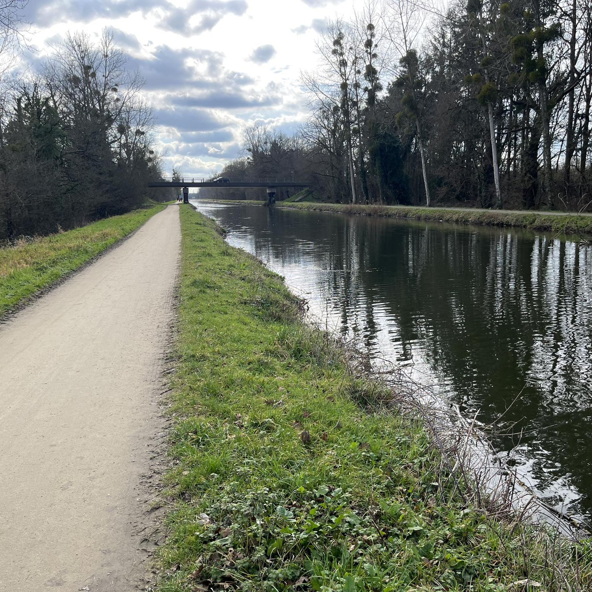
A short route along the Seiche river. The path is clean, moderately technical, and frequented by many hikers.
0
0

Lots of joggers, hikers and bikes on weekends. Very wet, muddy and floodable if heavy rains.
1
1
The Cuttlefish originates in the west of the village of Petre in Ille-et-Vilaine, in a small pond near the locality of L’Epine Houget, at an altitude of 167 m. It passes in total through twenty-six municipalities, ie twenty-four municipalities located in Ille-et-Vilaine and two municipalities in Mayenne. We cannot dissociate the cuttlefish from the exploitation of the Pont-Péan mining site which has shaped it since 1729, and this for two centuries. Period of combat with and against water, especially with its bed, first channeled from the confluence of the Vilaine to the castle of Carcé, then diverted by a channel from Carcé to Pont-Péan.
3
0
Bike ride along the cuttlefish
1
0
Frequently Asked Questions
How many running routes are available around Chartres-De-Bretagne?
There are nearly 20 dedicated running routes around Chartres-De-Bretagne, catering to various preferences and fitness levels. These include 3 easy routes, 15 moderate routes, and 1 more challenging option.
What kind of terrain can I expect on the jogging trails in Chartres-De-Bretagne?
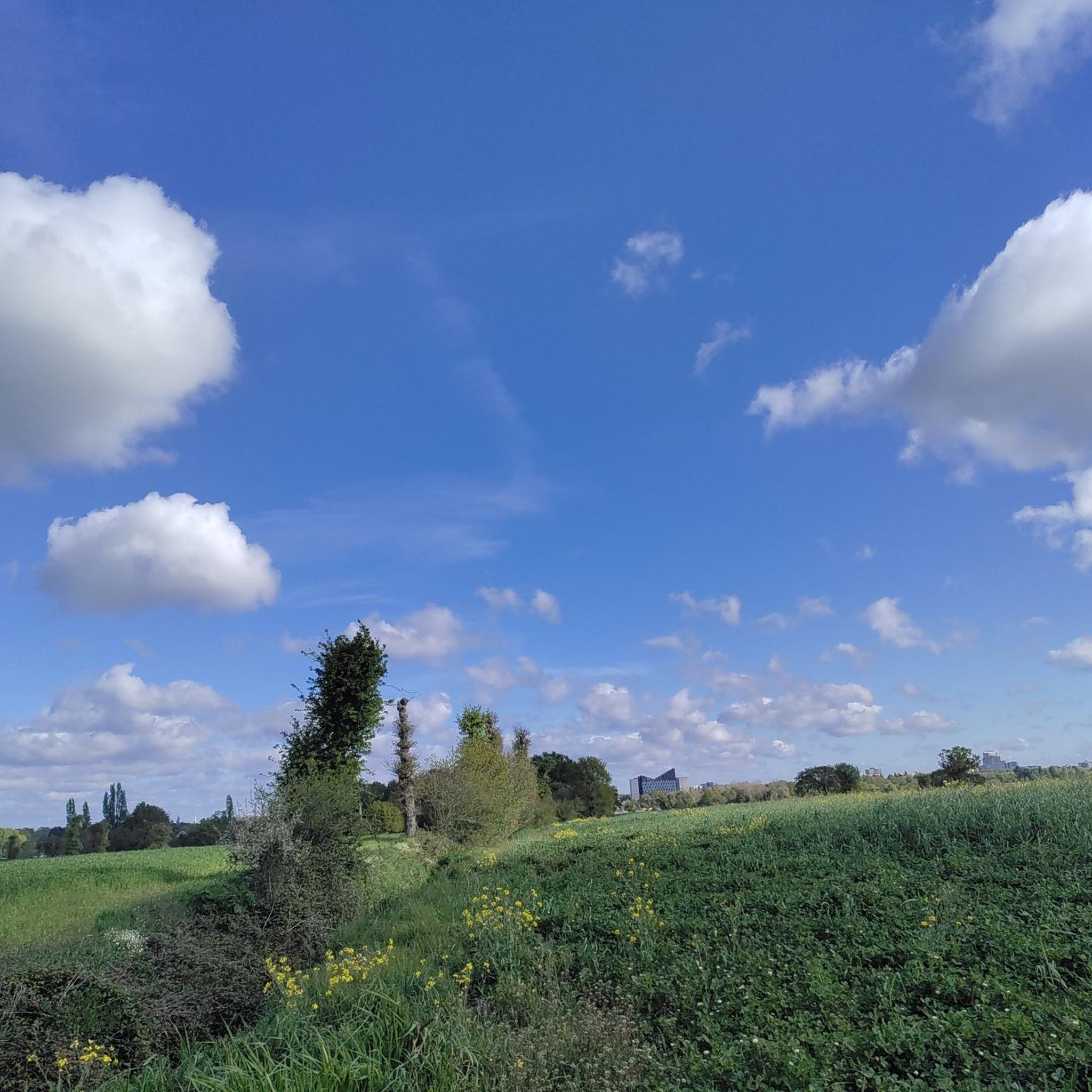
You'll find a mix of natural meadows, woodlands, and well-maintained paths. Many routes follow river valleys, such as the Seiche and Vilaine, offering flat towpaths. Areas like the Parc des Loisirs and Site de Lormandière provide varied terrain with green spaces and discovery trails.
Are there any family-friendly running routes in the area?
Yes, Chartres-De-Bretagne offers several easy routes suitable for families. The extensive network of pedestrian paths, particularly within the Parc des Loisirs, provides safe and pleasant environments for a family run. Look for routes categorized as 'easy' on komoot.
Where can I find scenic running routes with natural features?
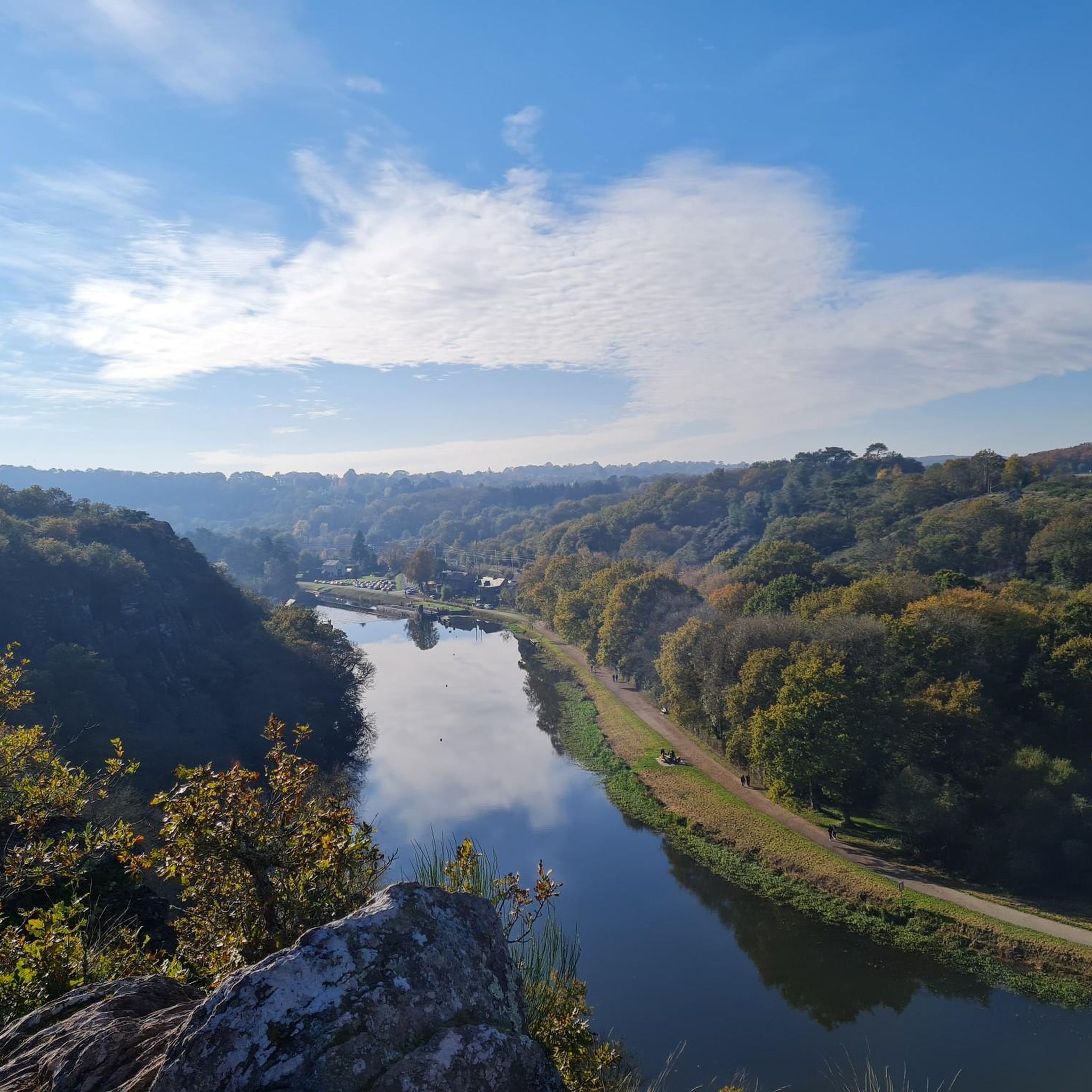
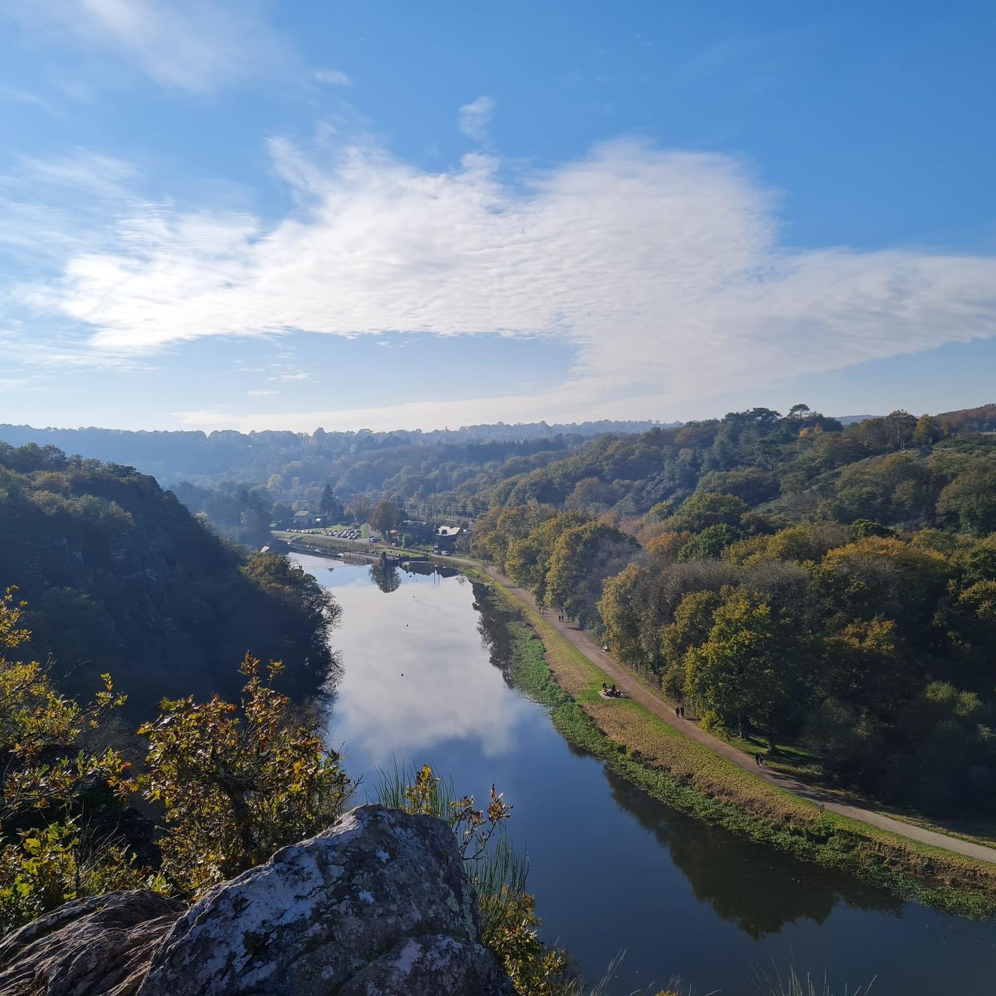
For scenic runs, explore the routes along the Vilaine Valley Towpath, which offers beautiful river views and picnic spots. The Lormandière loop from Chartres-de-Bretagne takes you through a reclaimed industrial site now rich in flora and woodlands, recognized for its ecological interest. The Parc des Loisirs also features natural meadows around two bodies of water, enhancing the natural experience.
Are there any notable landmarks or attractions along the running paths?
Yes, several routes offer points of interest. For example, the Vilaine Valley area features the historic Boël Mill. You might also encounter the drawbridge at the Cicé lock or the Pont-Réan bridge on some trails. The Apigné water sports center and various ponds like Étang d'Apigné also provide pleasant views.
What do other runners say about the trails in Chartres-De-Bretagne?
The running routes in Chartres-De-Bretagne are highly rated by the komoot community, with an average score of 4.4 stars from over 500 reviews. Runners often praise the pleasant green surroundings, the well-maintained paths, and the variety of options along the river valleys.
Are there any long-distance running options available?
Yes, for longer runs, consider the Lormandière loop from Chartres-de-Bretagne, which is approximately 14.3 km (8.9 miles). The Vilaine Valley Towpath also offers extensive stretches suitable for longer distances, connecting to a wider network of footpaths.
Can I find circular running routes in Chartres-De-Bretagne?
Absolutely. Many of the routes are designed as loops, providing convenient circular options. For instance, the popular Along the Seiche loop from Chartres-de-Bretagne is a 12.3 km (7.7 miles) circular trail following the river.
Are there any specific areas for varied training or sports courses?
The Parc des Loisirs in the south of the commune features a dedicated 'parcours sportif' or sports course, which is ideal for varied physical activity and can be utilized by runners for different training types.
Where can I learn more about the natural heritage of the running areas?
The Site de Lormandière, which features in routes like the Lormandière loop from Chartres-de-Bretagne, is recognized as a Zone Naturelle d'Intérêt Écologique, Floristique et Faunistique (ZNIEFF) due to its rich flora, including rare orchids. You can find more information about its natural and industrial heritage here.
Are there any running routes that follow the Seiche River?
Yes, the Seiche River is a prominent feature for running in Chartres-De-Bretagne. Routes like Along the Seiche loop from Chartres-de-Bretagne and Path along the Seiche River loop from Chartres-de-Bretagne offer flat and scenic paths along its banks.
What are the typical difficulty levels for jogging routes in this region?
Most of the jogging routes around Chartres-De-Bretagne are classified as moderate, offering a good balance for regular runners. There are also easier options for beginners or those seeking a more relaxed pace, and a few more difficult trails for experienced runners looking for a challenge.
Most popular routes around Chartres-De-Bretagne
Most popular attractions around Chartres-De-Bretagne

Get inspired with the komoot mobile app


Explore more
Browse the best Running Trails & Routes in other regions.
