The best walks and hikes around Chartres-De-Bretagne
4.5
(715)
5,110
hikers
321
hikes
Hiking trails around Chartres-De-Bretagne traverse a landscape defined by gentle countryside and accessible natural spaces. The region features the Vilaine and Seiche rivers, offering scenic towpaths and riverside routes. These areas provide a network of trails suitable for various outdoor pursuits, including walks through natural meadows and past historical sites like the Boël Mill. The terrain is generally mild, making it suitable for accessible outdoor activities.
Best hiking trails around Chartres-De-Bretagne
- The most popular hiking route is Lormandière – Anciens…
Last updated: May 12, 2026
4.8
(16)
49
hikers
9.36km
02:22
10m
10m
Moderate hike. Good fitness required. Easily-accessible paths. Suitable for all skill levels.
5.0
(5)
22
hikers
Moderate hike. Good fitness required. Easily-accessible paths. Suitable for all skill levels.

Sign up for free
3.7
(7)
27
hikers
6.28km
01:36
20m
20m
Easy hike. Great for any fitness level. Easily-accessible paths. Suitable for all skill levels.
4.7
(9)
43
hikers
8.82km
02:14
10m
10m
Moderate hike. Good fitness required. Easily-accessible paths. Suitable for all skill levels.
4.0
(2)
13
hikers
7.40km
01:53
20m
20m
Easy hike. Great for any fitness level. Easily-accessible paths. Suitable for all skill levels.
Get access to more routes and recommendations from other explorers.
Sign up for free
Already have an account?
Our route recommendations are based on thousands of hikes, rides, and runs completed by other people on komoot.
Start today with a free account
Your next adventure awaits.
Login or Signup

Tips from the Community

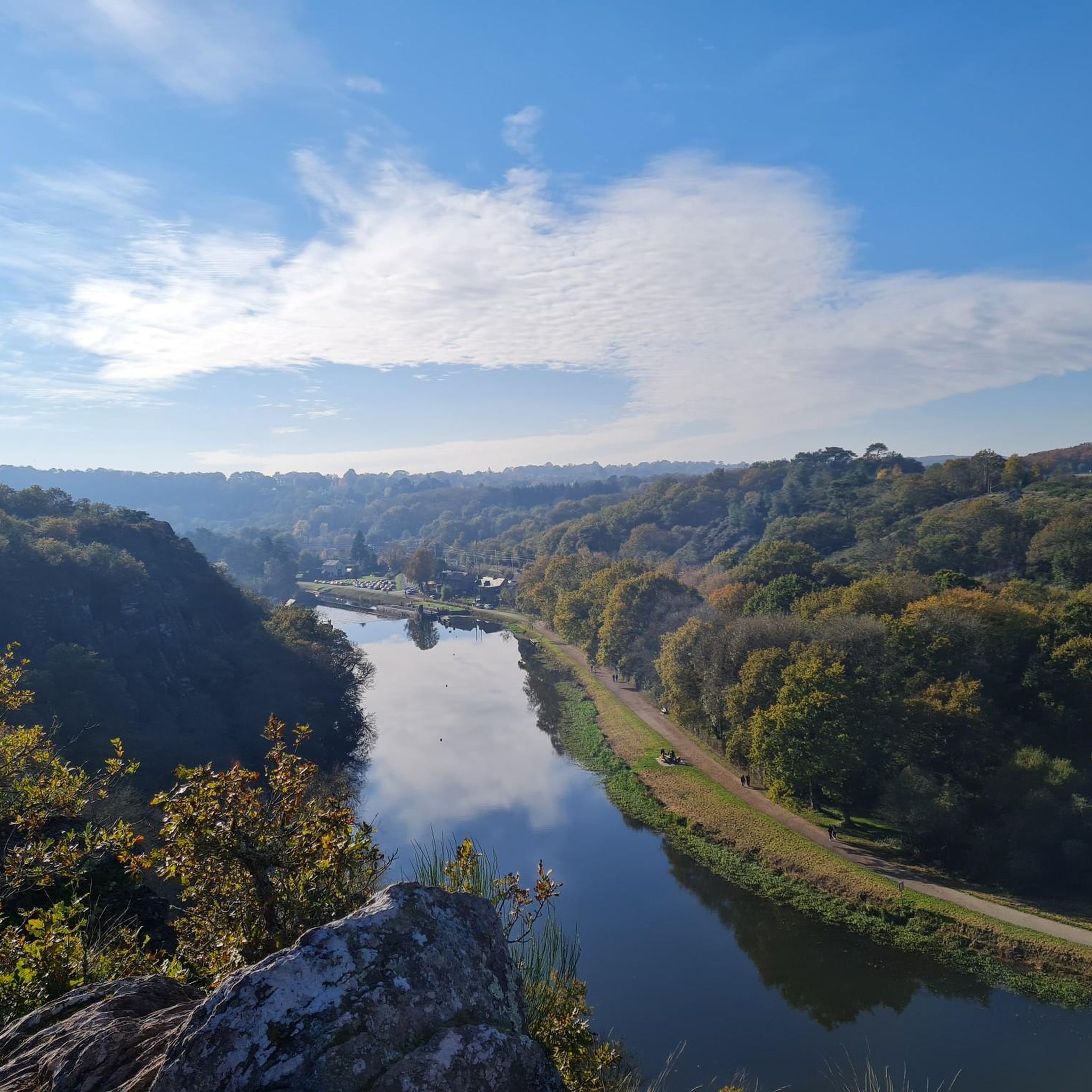
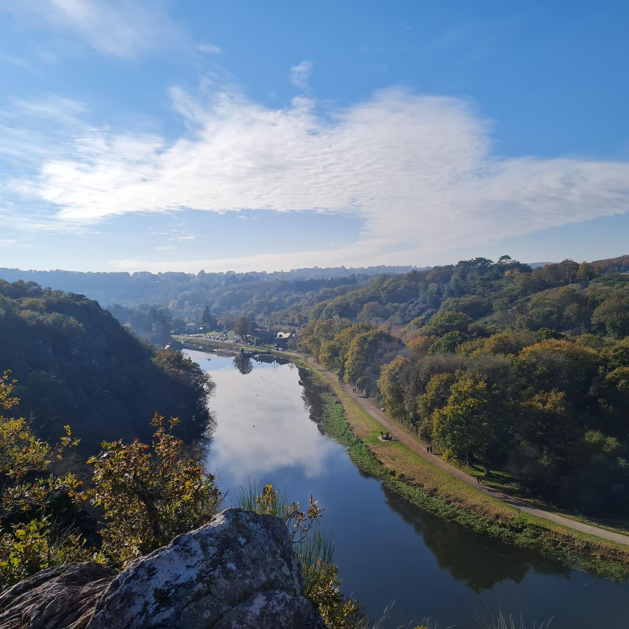
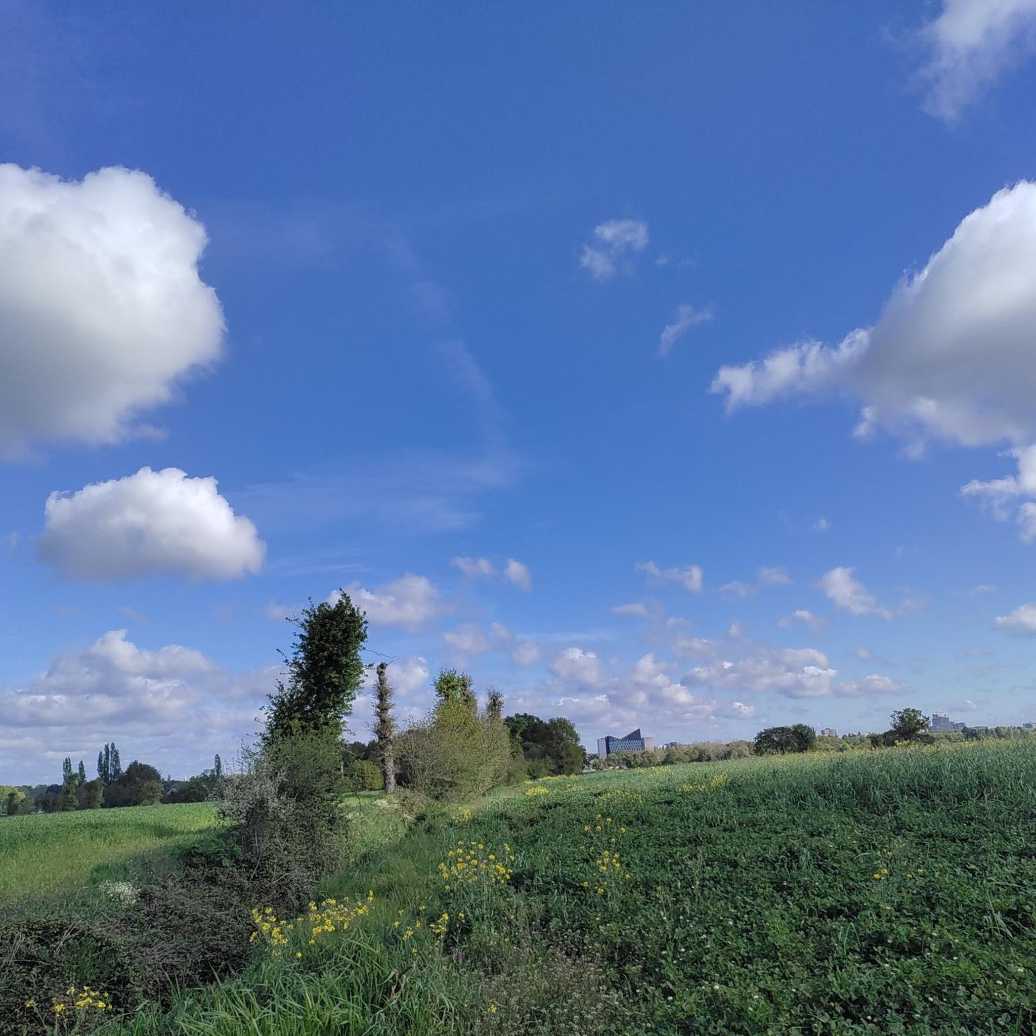
Lots of joggers, hikers and bikes on weekends. Very wet, muddy and floodable if heavy rains.
1
1
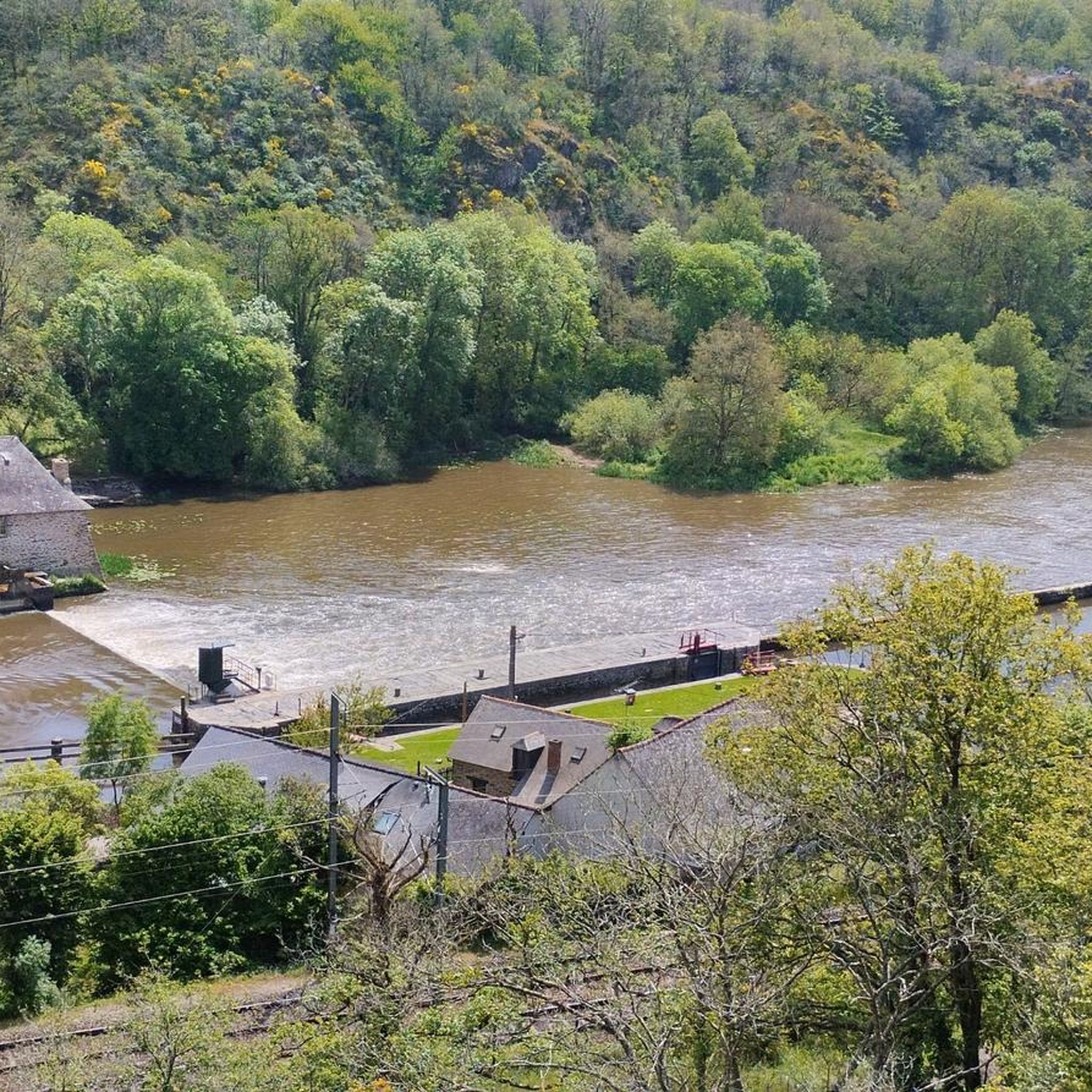
The Cuttlefish originates in the west of the village of Petre in Ille-et-Vilaine, in a small pond near the locality of L’Epine Houget, at an altitude of 167 m. It passes in total through twenty-six municipalities, ie twenty-four municipalities located in Ille-et-Vilaine and two municipalities in Mayenne. We cannot dissociate the cuttlefish from the exploitation of the Pont-Péan mining site which has shaped it since 1729, and this for two centuries. Period of combat with and against water, especially with its bed, first channeled from the confluence of the Vilaine to the castle of Carcé, then diverted by a channel from Carcé to Pont-Péan.
3
0
Bike ride along the cuttlefish
1
0
Frequently Asked Questions
How many hiking trails are available around Chartres-de-Bretagne?
There are over 300 hiking routes recorded on komoot for the Chartres-de-Bretagne area. This includes a wide variety of options, from easy strolls to more moderate excursions, ensuring there's something for every preference.
What kind of terrain can I expect on hikes in Chartres-de-Bretagne?
The terrain around Chartres-de-Bretagne is characterized by gentle countryside, river valleys, and accessible natural spaces. You'll find routes along the Vilaine and Seiche rivers, through natural meadows, and past historical sites like the Boël Mill. The landscape is generally mild, making it suitable for peaceful outdoor activities.
Are there easy hiking trails suitable for beginners or casual walkers?
Yes, Chartres-de-Bretagne offers a good selection of easy trails. Over half of the routes (more than 160) are classified as easy. An example is the Lormandière loop from Bruz, which is an easy 3.9-mile path offering a pleasant walk through natural surroundings.
What are some popular circular walks in the area?
Many routes in Chartres-de-Bretagne are designed as loops, allowing you to start and finish at the same point. A popular moderate circular route is the Lormandière – Anciens Fours à chaux loop from Chartres-de-Bretagne, which is 6.8 miles long and explores local countryside and historical lime kilns. Another option is the Lormandière loop from Chartres-de-Bretagne, a 4.6-mile trail through varied countryside.
Can I bring my dog on the hiking trails?
Generally, the natural areas and towpaths along the Vilaine and Seiche rivers are welcoming to dogs, provided they are kept on a leash. Always be mindful of local regulations, especially when passing through agricultural land or protected natural spaces.
Are there any family-friendly hiking options?
Absolutely. The gentle terrain and numerous easy routes make Chartres-de-Bretagne ideal for family walks. The Lormandière loop from Bruz is an easy option, and the Parc de Loisirs within Chartres-de-Bretagne itself offers pleasant walking paths and natural meadows perfect for leisurely strolls with children.
What interesting landmarks or attractions can I see along the trails?
The region is rich in points of interest. You can explore historical sites like the 12th-century Boël Mill in the Vilaine Valley, or observe the engineering of the drawbridge at the Cicé lock. The towpaths themselves offer scenic views of the rivers and surrounding countryside.
What do other hikers enjoy most about hiking in Chartres-de-Bretagne?
The area is highly rated by the komoot community, with an average score of 4.6 stars from over 600 reviews. Hikers often praise the peaceful river valleys, the charm of the countryside, and the accessibility of the trails, making it a welcoming destination for all skill levels.
What is the typical length and duration of hikes in this region?
Hikes in Chartres-de-Bretagne vary in length. Many popular routes range from 4 to 7 miles, typically taking between 1.5 to 3 hours to complete. For example, the Hiking loop from Chartres-de-Bretagne is 7 miles long and takes around 2 hours 50 minutes.
Are there any routes that follow waterways?
Yes, the presence of the Vilaine and Seiche rivers is a defining feature of the region. Many trails utilize the scenic towpaths along these rivers, offering beautiful riverside walks. The Vilaine Valley's towpath, stretching towards Rennes and Redon, is particularly popular for this.
Is parking generally available near trailheads?
Given the region's focus on accessible outdoor activities and local trails, parking is typically available near popular trailheads and points of interest, especially in and around villages or designated leisure areas like the Parc de Loisirs. It's always advisable to check specific route details for precise parking information.
What is the best time of year to go hiking in Chartres-de-Bretagne?
The gentle countryside of Chartres-de-Bretagne makes it suitable for hiking throughout much of the year. Spring and autumn offer pleasant temperatures and beautiful scenery with blooming wildflowers or vibrant fall foliage. Summer is also enjoyable, especially for riverside walks, while winter hikes can be peaceful, though some paths might be muddier.
Most popular routes around Chartres-De-Bretagne
Most popular attractions around Chartres-De-Bretagne

Get inspired with the komoot mobile app


Explore more
Browse the best Hikes in other regions.
