The best road cycling routes around Fitjavatnet
66
riders
5
rides
Road cycling routes around Fitjavatnet offer diverse terrain within the Møre og Romsdal region of Norway. The area is characterized by a landscape of forests, mountains, and fjords, with Fitjavatnet itself situated at 336 meters above sea level. Road cycling options include routes with minimal elevation gain and more challenging rides featuring significant ascents. The well-paved surfaces are common, though some segments may present unpaved sections.
Best road cycling routes around Fitjavatnet
- The most popular road cycling route is Tjøreveden…
Last updated: September 3, 2026
3
riders
112km
05:27
1,620m
1,620m
Hard road ride. Very good fitness required. Mostly well-paved surfaces and easy to ride.
27
riders
61.0km
02:48
670m
670m
Moderate road ride. Good fitness required. Mostly well-paved surfaces and easy to ride.

Sign up for free
8
riders
Moderate road ride. Good fitness required. Mostly well-paved surfaces and easy to ride.
3
riders
106km
04:48
1,090m
1,090m
Hard road ride. Very good fitness required. Mostly well-paved surfaces and easy to ride.
25
riders
62.0km
03:01
870m
870m
Moderate road ride. Good fitness required. Some segments of this route may be unpaved and difficult to ride.
Our route recommendations are based on thousands of hikes, rides, and runs completed by other people on komoot.
Start today with a free account
Your next adventure awaits.
Login or Signup
Popular around Fitjavatnet
Tips from the Community

Follow the signs and well laid path to get to Langevatnet, a peaceful and beautiful lake. A great hike to a great place to swim!
0
0

This panoramic road allows you to enjoy typical Norwegian views and an unforgettable experience.
0
0
Secondary road with nice view of the nature around, a good spot to enjoy the landscape.
0
0
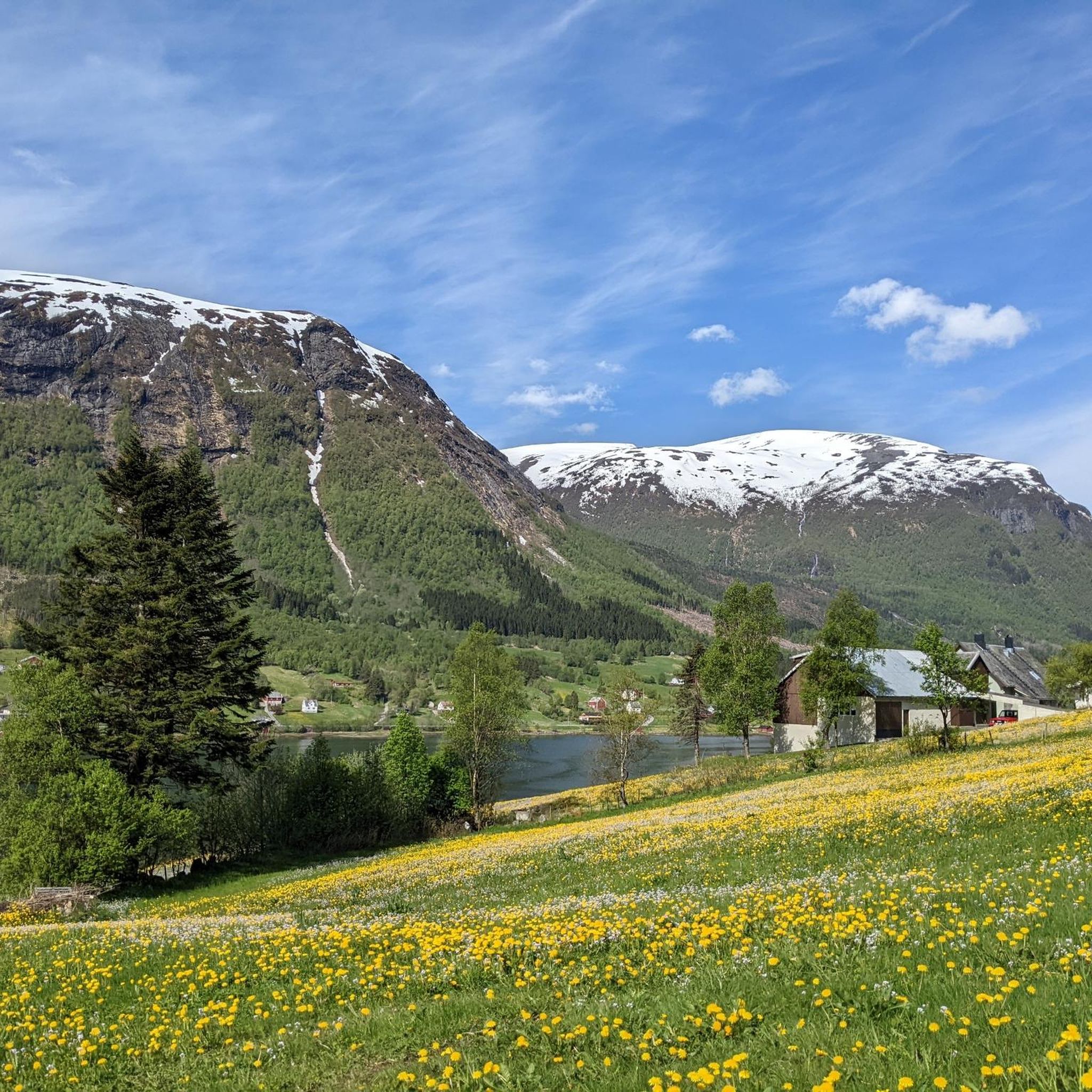
From Sjøholt, you have a terrific view of Storfjorden, with spectacular mountains surrounding the area and framing the water year-round. The landscape blends majestic mountains, serene fjords, and lush forests, offering both alpine scenery and sweeping coastal views.
0
0

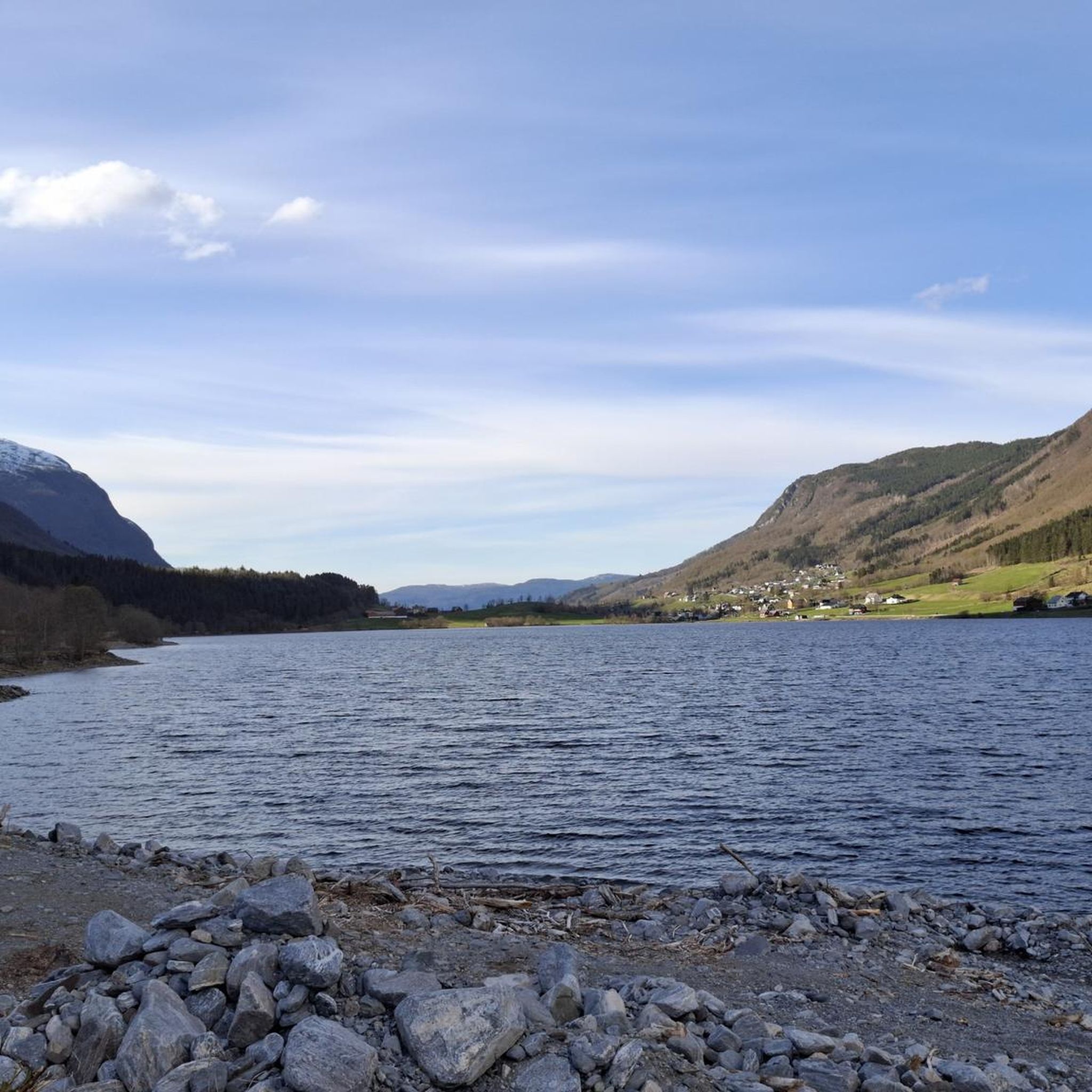
Lillevannet lies like a calm sheet of water, backed by dark, rounded hills and a ribbon of greenery along the shore. The surface is wide and reflective—perfect for a slow pause, especially where the grassy bank meets the path. Nearby houses peek through the trees, so the mood stays peaceful but never isolated. On clear moments, the valley views open up and the whole lake feels sheltered and still.
0
0

Beautiful place to rest and enjoy the view! If there are already many people there, you can simply walk a bit further and find many other viewpoints.
1
0

Great overview of the city
0
1

Standing by the sea, you see the plain rising before you in the east, over the edge of the hills. A wondrous, alluring realm of beauty.
1
1
Frequently Asked Questions
What is the general difficulty level of road cycling routes around Fitjavatnet?
The road cycling routes around Fitjavatnet cater to various fitness levels. You'll find moderate loops, such as the View of Ålesund from Fjellstua – Ålesund Harbour loop from Ikornnes kyrkje, which features around 800 meters of elevation gain. For those seeking a greater challenge, there are difficult routes like the Tjøreveden – Sykkylven loop from Sykkylven kyrkje, which includes over 1,600 meters of ascent.
Are there any beginner-friendly road cycling routes in the Fitjavatnet area?
While many routes around Fitjavatnet involve significant elevation, there are options suitable for those looking for a moderate experience. The region offers routes with varied terrain, and some segments are designed to be more accessible. For example, the Tudalsreset – Sykkylven loop from Ikornnes kyrkje is rated as moderate and covers a distance of about 61.5 km.
What kind of landscapes can I expect to see while road cycling near Fitjavatnet?
Road cycling around Fitjavatnet offers a diverse and dramatic natural scenery characteristic of the Møre og Romsdal region. You can expect to cycle through areas with forests, alongside mountains, and with views towards fjords. The routes often provide scenic vistas, including glimpses of Ålesund, and showcase the region's natural beauty shaped by ancient glaciers.
How long do road cycling routes around Fitjavatnet typically take to complete?
The duration of road cycling routes around Fitjavatnet varies significantly based on distance and difficulty. For instance, a moderate route like the Tudalsreset – Sykkylven loop from Ikornnes kyrkje, covering 61.5 km, can be completed in approximately 2 hours 50 minutes. More challenging and longer routes, such as the 110.9 km Tjøreveden – Sykkylven loop from Sykkylven kyrkje, typically require around 5 hours 26 minutes.
What are the road conditions like for cycling around Fitjavatnet?
The road cycling routes around Fitjavatnet primarily utilize well-paved surfaces. However, it's important to be aware that some segments might include unpaved sections, which can add to the challenge and require suitable tires. The varied terrain means you should be prepared for different road types.
Are there any challenging road cycling routes for experienced cyclists near Fitjavatnet?
Yes, experienced cyclists will find several challenging routes around Fitjavatnet. These routes feature significant ascents and substantial elevation gain. An example is the Roadbike loop from Gyrihaugen, which covers over 105 km and includes more than 1,000 meters of climbing, making it a demanding ride.
What is the best season for road biking in the Fitjavatnet region?
While specific seasonal recommendations are not provided, the Møre og Romsdal region, where Fitjavatnet is located, is known for its dramatic natural scenery. Generally, late spring, summer, and early autumn offer the most favorable conditions for road cycling in Norway, with longer daylight hours and milder temperatures. Winter cycling would likely present significant challenges due to snow and ice.
Are there any circular road cycling routes around Fitjavatnet?
Yes, many of the road cycling routes around Fitjavatnet are designed as loops, allowing you to start and finish at the same point. Examples include the Tjøreveden – Sykkylven loop from Sykkylven kyrkje and the View of Ålesund from Fjellstua – Ålesund Harbour loop from Ikornnes kyrkje, both offering comprehensive tours of the area.
What do other road cyclists enjoy most about road cycling in Fitjavatnet?
Road cyclists frequently praise the scenic routes and natural beauty of the Fitjavatnet area. The diverse terrain, ranging from moderate loops to difficult ascents, is also a highlight, offering options for different ability levels. The komoot community has actively explored these routes, with over 50 road cyclists having used the platform to discover the region's varied landscape.
Are there any specific scenic stops or viewpoints along the road cycling routes?
The routes around Fitjavatnet are known for their scenic beauty. For example, the View of Ålesund from Fjellstua – Ålesund Harbour loop from Ikornnes kyrkje specifically highlights vistas towards Ålesund. The entire region of Møre og Romsdal is characterized by dramatic natural scenery, so you can expect numerous picturesque spots along any of the routes.
How many road cycling routes are available around Fitjavatnet?
There are several road cycling routes available around Fitjavatnet, with komoot featuring at least 5 distinct tours. These routes showcase the best of the region's landscape and offer options for various skill levels.
Is Fitjavatnet suitable for family-friendly road cycling?
While the region offers diverse terrain, many routes around Fitjavatnet include significant elevation gain, which might be challenging for younger or less experienced family members. It's advisable to review the difficulty and elevation profiles of specific routes, such as the moderate Tjøreveden – Tudalsreset loop from Strandafjellet, to determine their suitability for your family's fitness level.

Get inspired with the komoot mobile app


Explore more
Browse the best Road cycling routes in other regions.
