The best road cycling routes around Farsjø
5.0
(1)
109
riders
1
ride
Road cycling routes around Farsjø, located near Kragerø and Sannidal in Norway, traverse a landscape characterized by wooded terrain and varied elevation. The region offers a mix of well-paved surfaces and segments that may be unpaved, requiring good fitness due to elevation gains. Road cycling here provides access to natural scenery, including forested areas and views typical of the Norwegian countryside. Routes can feature significant climbing, particularly when entering wooded sections.
Best road cycling routes around Farsjø
- The most popular…
Last updated: July 10, 2026
14
riders
36.6km
01:38
400m
400m
Moderate road ride. Good fitness required. Mostly well-paved surfaces and easy to ride.
34
riders
46.9km
02:22
710m
710m
Moderate road ride. Good fitness required. Mostly well-paved surfaces and easy to ride.

Sign up for free
13
riders
52.1km
02:35
820m
820m
Moderate road ride. Good fitness required. Mostly well-paved surfaces and easy to ride.
6
riders
145km
07:09
1,960m
1,960m
Hard road ride. Very good fitness required. Some segments of this route may be unpaved and difficult to ride.
5.0
(1)
42
riders
71.7km
03:29
1,010m
1,010m
Hard road ride. Very good fitness required. Mostly well-paved surfaces and easy to ride.
Our route recommendations are based on thousands of hikes, rides, and runs completed by other people on komoot.
Start today with a free account
Your next adventure awaits.
Login or Signup
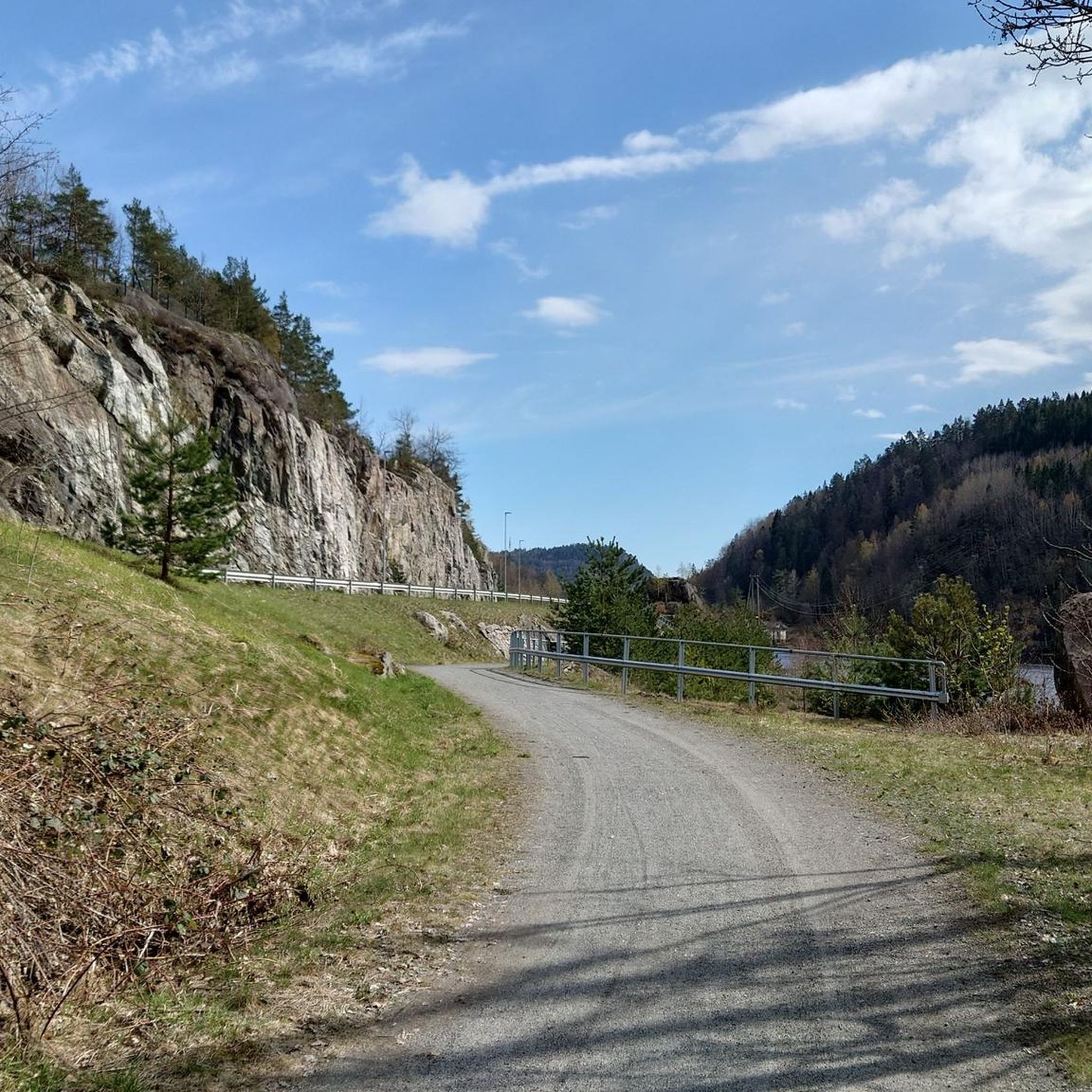
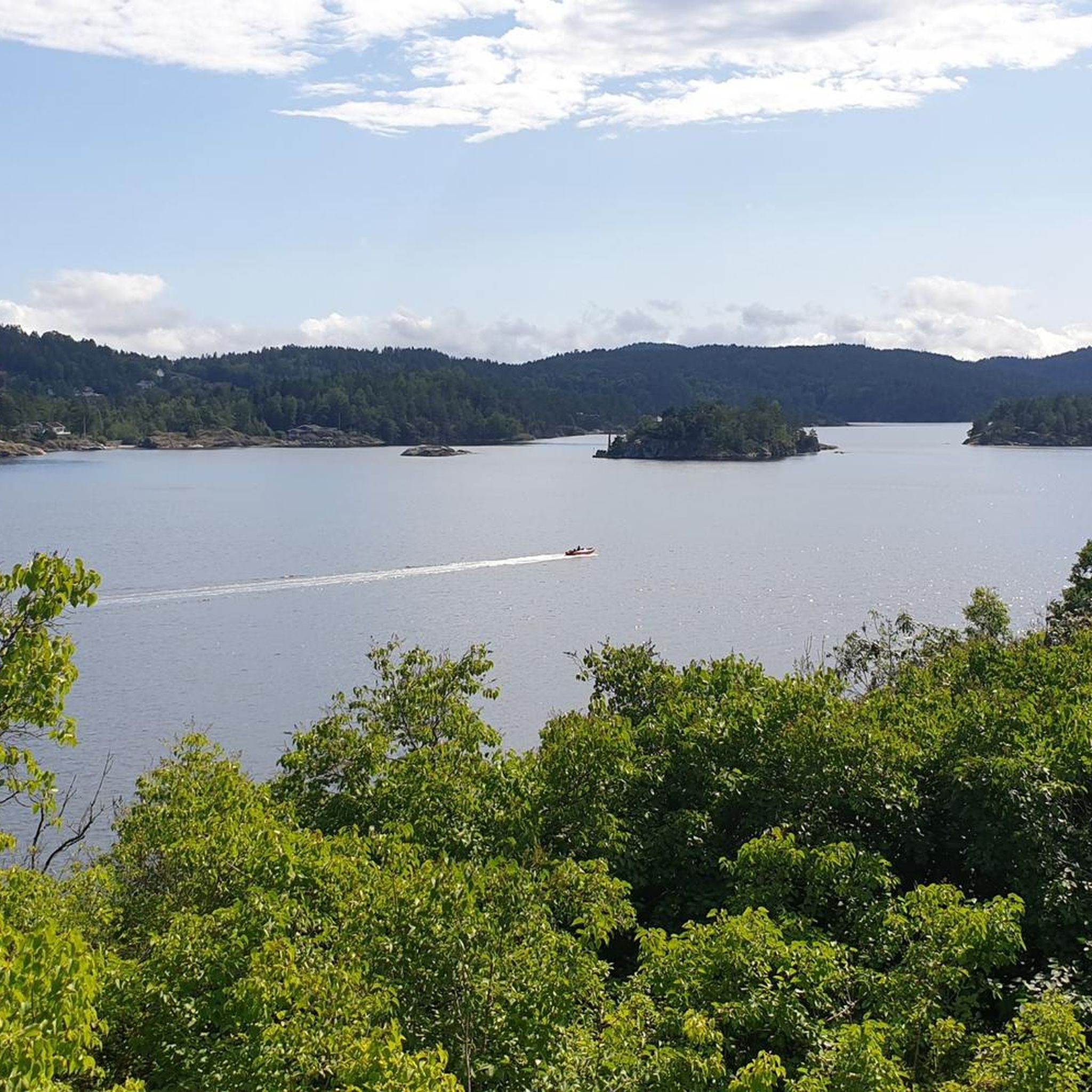
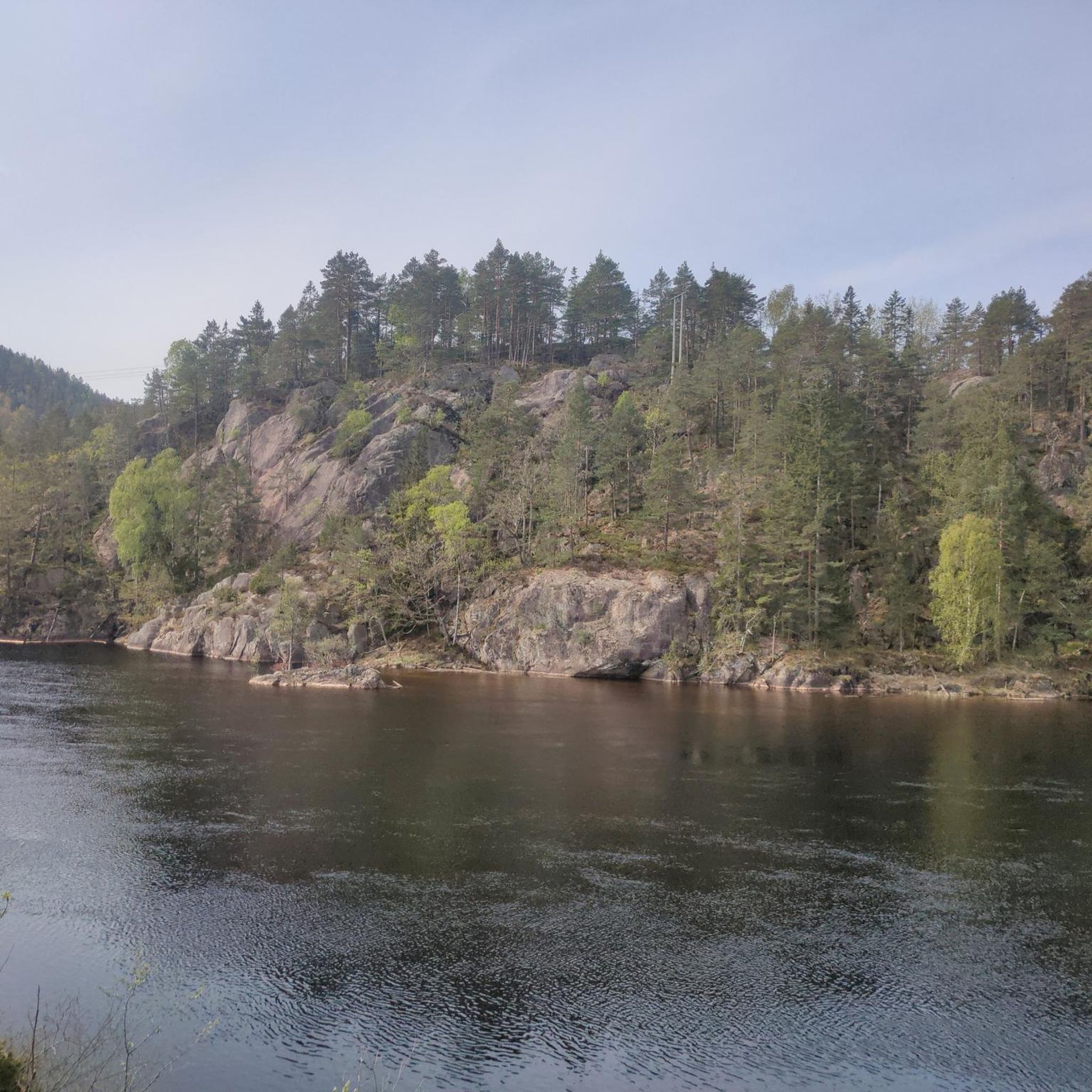
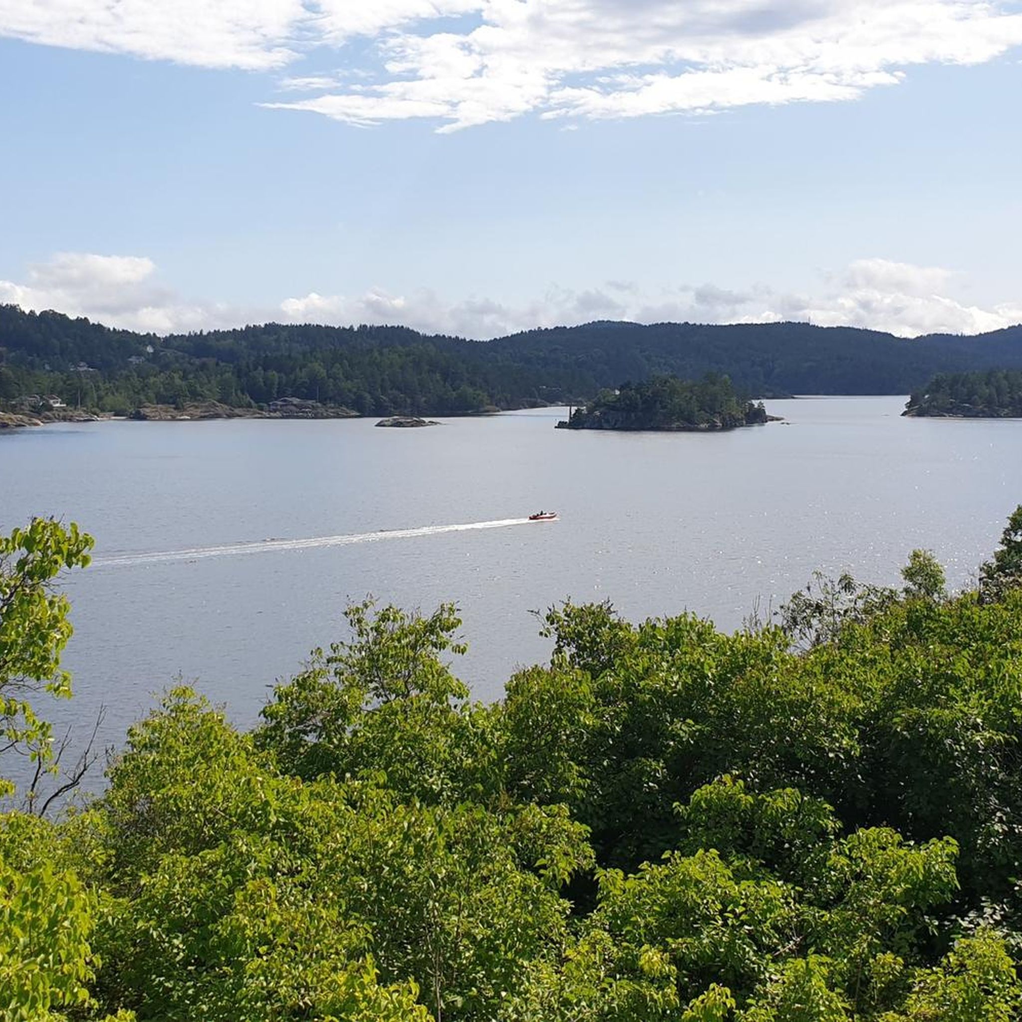
Tips from the Community

Lot of traffic there, because of a big road construction project nearby. Better to avoid a while, until the main project is finished...check on google maps before you want to explore - written: 31. Mars 2026.
0
0

From this spot, you have a superb view of Porsgrunn, the river, and the rolling forests in the background. It’s also a pleasant place to take a break, as there are benches and tables available on site.
0
0
This small wooden bridge crosses over the river, which forms a small waterfall at this spot. It also marks, in a way, the unofficial start of a trail that winds through the woods.
0
0

Tangendammen is a small reservoir separated from the bay by a narrow path.
0
0

Coming from the south, you can pick up a decent pace. After the first climb, there's a long, gentle downhill stretch.
0
0

Great view from the bridge, which has a segregated cycle lane and is lit at night.
1
0

There is a well maintained jetty with pontoon, toilet and volleyball/badminton net. There are signs saying no camping.
0
0

June 2023: a lot of traffic, better to avoid, plus probably construction site traffic (it was Sunday for me). Uphill very steep (even though I came up with luggage). I didn't see any cycle route signs here
0
0
Frequently Asked Questions
What kind of terrain can I expect on road cycling routes around Farsjø?
Road cycling around Farsjø features a diverse landscape with wooded terrain and varied elevation. You'll encounter routes with mostly well-paved surfaces, but some segments might be unpaved. Expect significant climbing, particularly when entering forested areas, which contributes to the region's challenging yet rewarding cycling experience.
Are there road cycling routes suitable for beginners in Farsjø?
While many routes around Farsjø involve significant elevation gains requiring good to very good fitness, there are moderate options available. For example, the Roadbike loop from Sannidal is a moderate 22.7-mile (36.6 km) route that explores the area with varied terrain, offering a good introduction to the region's cycling.
What are some challenging road cycling routes in the Farsjø area?
For experienced cyclists seeking a challenge, the Farsjø region offers routes with substantial climbs. The Brevik Bridge loop from Thomesheia is a difficult 80.8-mile (130.0 km) trail with over 1600 meters of elevation gain, leading through varied terrain towards the impressive Brevik Bridge. Another demanding option is the Sprangfoss – Askeklova loop from Kragerø, a difficult 70.8-mile (114.0 km) route with over 1000 meters of climbing.
Are there any family-friendly road cycling options near Farsjø?
While many routes in Farsjø involve significant elevation, some moderate loops can be suitable for families with older children or those accustomed to varied terrain. Consider routes that stick to the more well-paved sections and have less extreme climbs. Always check the route's elevation profile and distance to ensure it matches your family's fitness level.
What is the best season for road biking in Farsjø?
The best season for road biking in Farsjø, like much of Norway, is typically from late spring through early autumn (May to September). During these months, you can expect milder weather, longer daylight hours, and generally clear roads. Winter cycling can be challenging due to snow and ice, making many routes less accessible or requiring specialized equipment.
Are there scenic viewpoints or landmarks along the road cycling routes?
The Farsjø region, situated in Norway, is known for its natural beauty. While specific landmarks are not detailed for every route, you can expect to pass through forested areas and enjoy views typical of the Norwegian countryside. Routes often offer glimpses of the varied landscape, including potential views of lakes and valleys, especially on higher elevations.
Where can I find parking for road cycling near Farsjø?
Parking availability for cyclists in the Farsjø and surrounding Kragerø/Sannidal areas can vary. It's generally advisable to look for public parking areas in towns like Sannidal or Kragerø, which serve as common starting points for many routes. Always check local signage for parking regulations and fees.
Can I use public transport to reach Farsjø with my bike?
Public transport options in Norway, including buses and trains, often have provisions for carrying bicycles, though this can vary by operator and route. It's recommended to check with local transport providers in the Kragerø/Sannidal region regarding their specific policies for bicycles, especially during peak seasons or for longer journeys, to ensure a smooth trip to your starting point.
Are there any circular road cycling routes in the Farsjø area?
Yes, many of the road cycling routes around Farsjø are designed as loops, allowing you to start and end at the same point. Examples include the Roadbike loop from Tangenheia, a moderate 29.1-mile (46.9 km) path, and the Roadbike loop from Kragerø, a 32-mile (51.5 km) moderate route. These loops offer diverse scenery and a convenient cycling experience.
What do other road cyclists enjoy most about cycling in Farsjø?
Road cyclists exploring Farsjø often praise the region's varied terrain and natural beauty. The mix of wooded areas and open landscapes, combined with significant elevation changes, provides a dynamic and engaging ride. Many appreciate the opportunity to experience the Norwegian countryside away from heavy traffic, offering both challenging climbs and enjoyable stretches.
Are there cafes or accommodation options near the road cycling routes in Farsjø?
While Farsjø itself is a more rural area, the nearby towns of Kragerø and Sannidal offer various amenities. You can find cafes, restaurants, and accommodation options in these towns, which are common starting or ending points for many road cycling routes. It's advisable to plan your stops in advance, especially on longer routes, as services may be sparse in between towns.
What are the typical road conditions around Farsjø lake and the Farsjøveien road?
Road conditions in the Farsjø area, including around Farsjø lake and along Farsjøveien, generally feature well-paved surfaces. However, consistent with the region's characteristics, some segments might be unpaved or have varying surface quality. Cyclists should be prepared for a mix of road types and always exercise caution, especially on descents or less-maintained sections.

Get inspired with the komoot mobile app


Explore more
Browse the best Road cycling routes in other regions.
