The best walks and hikes around Farsjø
4.7
(48)
174
hikers
14
hikes
Hiking around Farsjø, an inland lake in Kragerø, Norway, offers trails through tranquil freshwater environments and surrounding forests. The region is characterized by lush woodlands and a diverse landscape, contrasting with the coastal areas of the wider Kragerø municipality. Trails often wind past freshwater lakes and through varied terrain, providing accessible options for different fitness levels. Elevations around Farsjø are generally gentle, contributing to a serene hiking experience.
Best hiking trails around Farsjø
- The most popular hiking route is Bjørndalsheia…
Last updated: June 29, 2026
5.0
(2)
5
hikers
5.38km
01:35
140m
150m
Easy hike. Great for any fitness level. Easily-accessible paths. Suitable for all skill levels.
5.0
(2)
4
hikers
4.33km
01:19
150m
150m
Easy hike. Great for any fitness level. Easily-accessible paths. Suitable for all skill levels.

Sign up for free
4.4
(9)
30
hikers
Easy hike. Great for any fitness level. Easily-accessible paths. Suitable for all skill levels.
4.4
(5)
18
hikers
Moderate hike. Good fitness required. Easily-accessible paths. Suitable for all skill levels.
4.5
(2)
6
hikers
5.35km
01:37
170m
180m
Easy hike. Great for any fitness level. Easily-accessible paths. Suitable for all skill levels.
Get access to more routes and recommendations from other explorers.
Sign up for free
Already have an account?
Our route recommendations are based on thousands of hikes, rides, and runs completed by other people on komoot.
Start today with a free account
Your next adventure awaits.
Login or Signup
Tips from the Community

A brilliantly beautiful view 👍
0
0

A little off the route at the shelter.
0
0
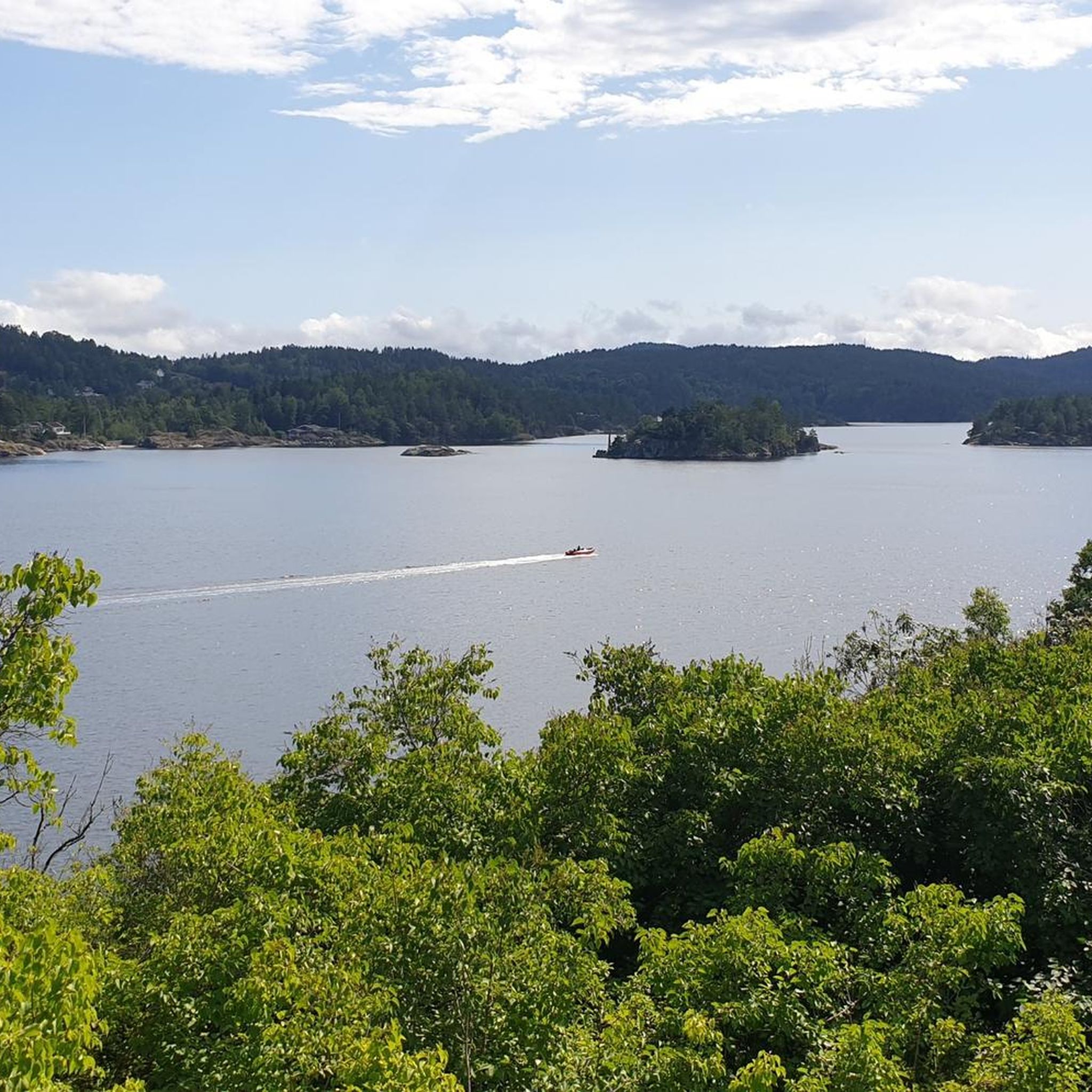
Very nice view of the archipelago of Keagerø
0
0
A little climbing on the rocks is worthwhile. The panoramic view is phenomenal.
0
0

Lovisenbergkollen rewards visitors with stunning panoramic views over rolling hills, deep forests, and distant valleys. The climb to the top is well worth the effort, as the peaceful surroundings and breathtaking scenery create a true nature escape.
1
0

Martini was a newspaper publisher who moved to Kragerø from Denmark.
1
0

Great little streets with many small, white wooden houses. Many of them decorated with beautiful flowers.
0
0
Frequently Asked Questions
How many hiking trails are available around Farsjø?
There are 14 hiking trails around Farsjø, offering a range of experiences from easy strolls to moderate excursions. The majority of these, 10 routes, are considered easy, making the area accessible for various fitness levels.
Are there easy or family-friendly hiking options in Farsjø?
Yes, Farsjø is known for its accessible trails, making it suitable for families and those seeking less strenuous walks. Out of the 14 available routes, 10 are rated as easy. These trails often wind through tranquil forests and along the lake, providing a serene environment.
What kind of terrain can I expect on hikes around Farsjø?
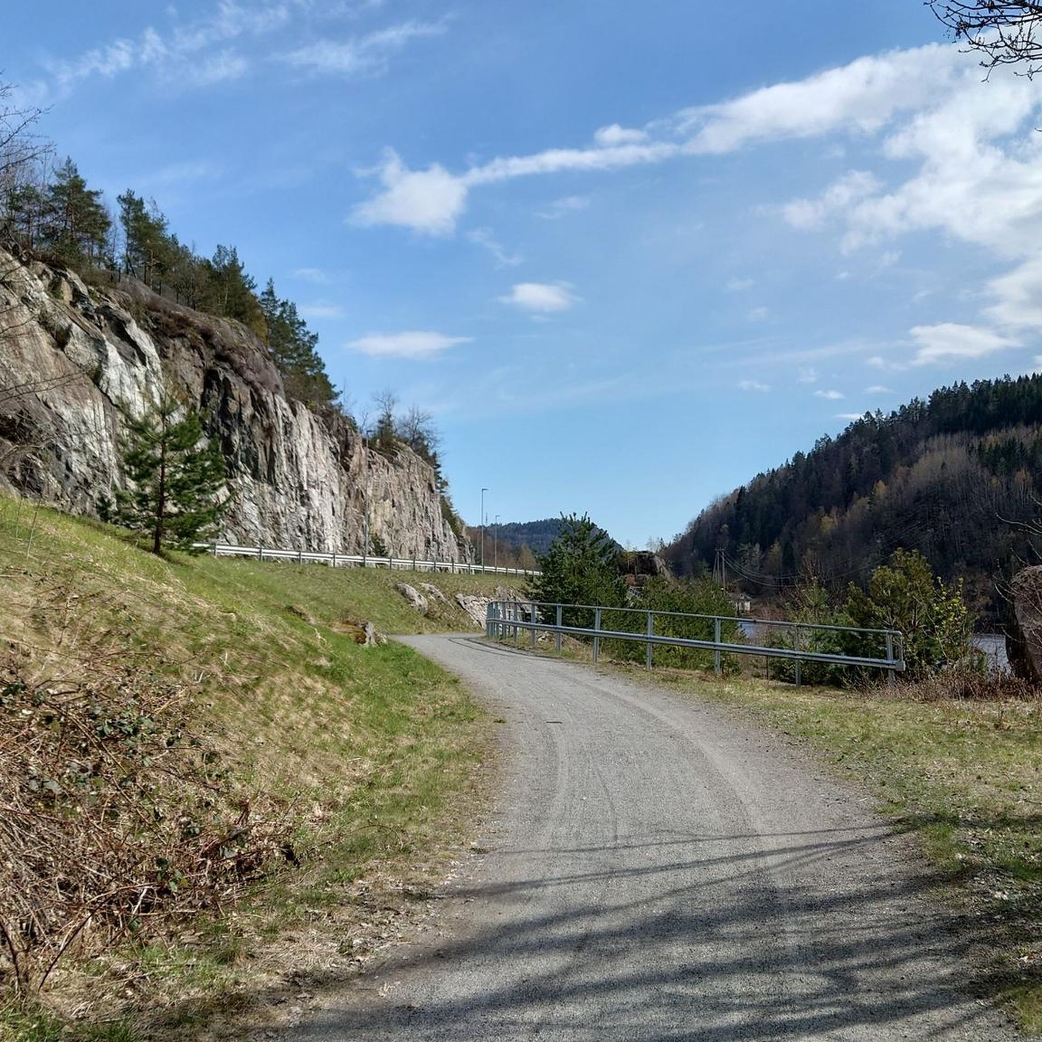
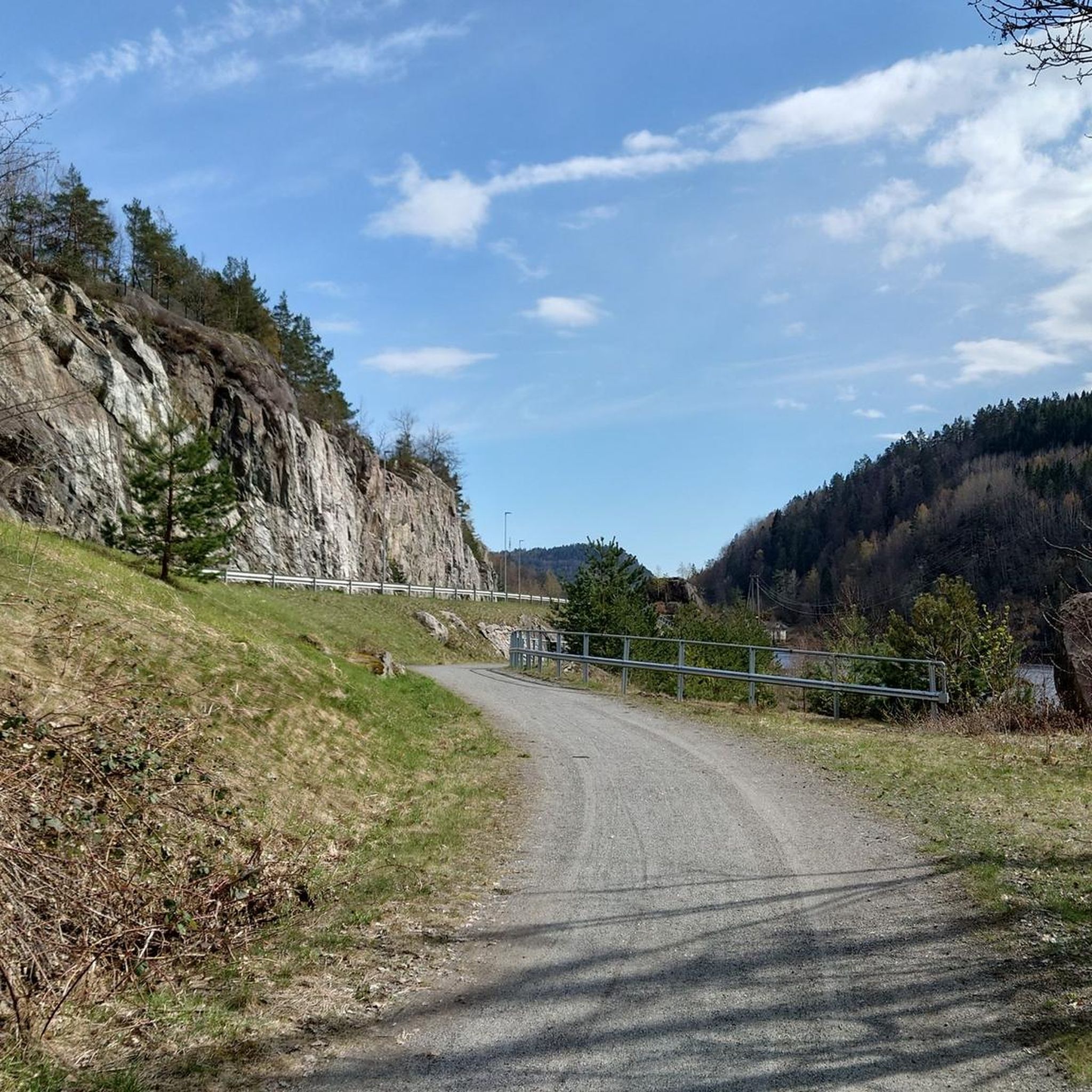
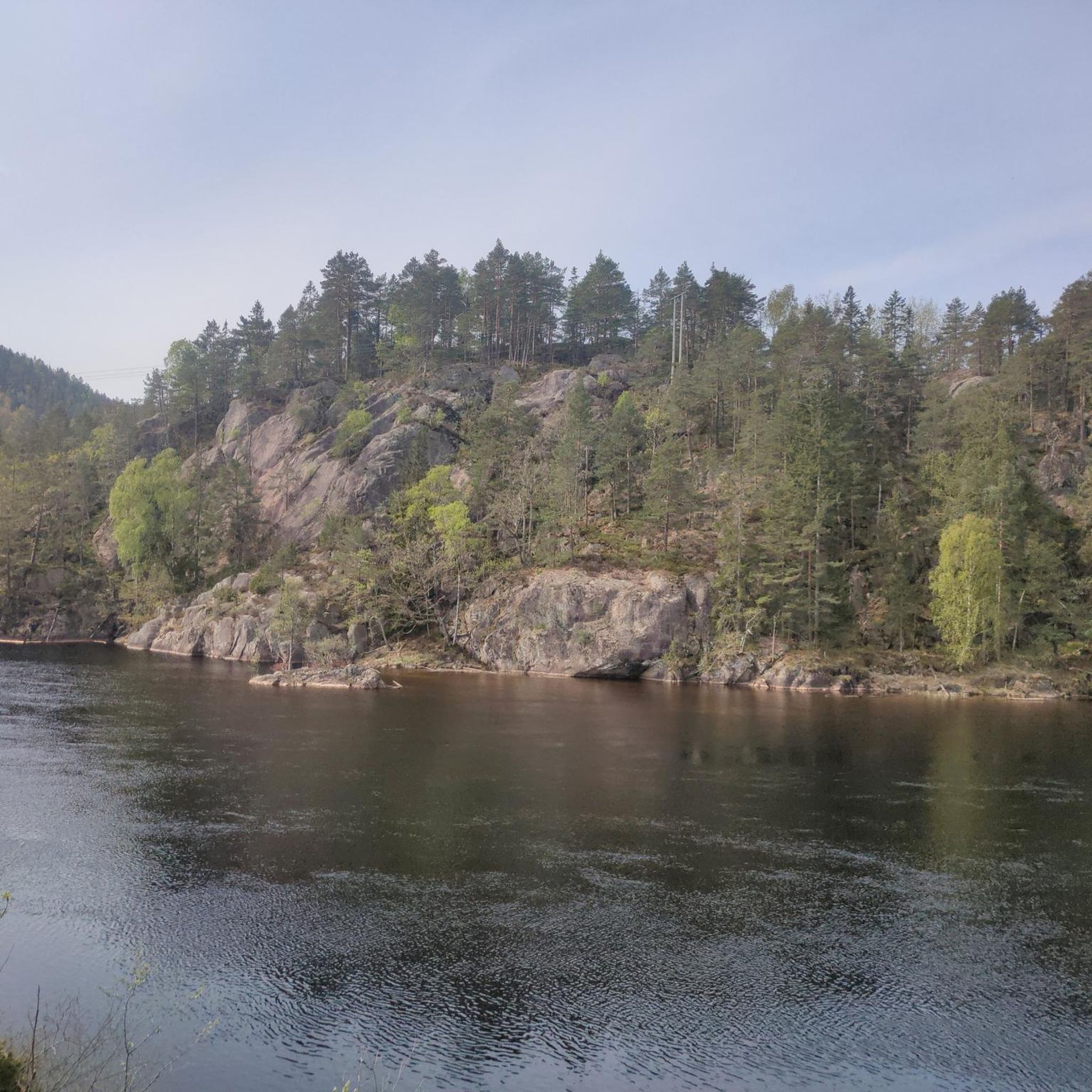
Hikes around Farsjø primarily feature tranquil freshwater lakes and lush woodlands. The terrain generally includes gentle hills and varied forest paths, offering a peaceful contrast to the coastal areas of the wider Kragerø municipality.
Are there any circular walks available in the Farsjø area?
Yes, several routes around Farsjø are circular. For example, the Bjørndalsheia – Tusstjennheia loop from Kumløya is an easy 3.3-mile (5.4 km) trail that winds through forested hills, perfect for a round trip.
What do other hikers enjoy most about hiking in Farsjø?
The hiking routes in Farsjø are highly rated by the komoot community, with an average score of 4.7 stars from over 40 reviews. Hikers often praise the tranquil freshwater environments, the lush woodlands, and the peaceful atmosphere that defines the area.
Are there any viewpoints or notable natural features along the trails?
While Farsjø itself is characterized by its peaceful inland lake and surrounding forests, the broader Kragerø region is known for scenic vistas. Some trails, like the View from Lovisenbergkollen – View of the Skerries loop from Fantholmane-Matløs biotopvernområde, lead to viewpoints offering expansive views, potentially over the lake or surrounding landscapes.
Is Farsjø a good destination for dog-friendly hikes?
The tranquil forest paths and gentle terrain around Farsjø make it a suitable area for hiking with dogs. Many of the trails offer a peaceful environment away from busy roads, ideal for a walk with your canine companion. Always ensure dogs are kept on a leash where required and respect local wildlife.
What is the best time of year to go hiking around Farsjø?
The best time to hike around Farsjø is generally during the spring, summer, and early autumn months (May to October). During these periods, the weather is milder, the forests are lush, and the trails are typically clear of snow, offering the most pleasant hiking conditions.
Are there any longer, more challenging hikes in the Farsjø area?
While Farsjø is known for its accessible and easy trails, there are moderate options for those seeking a bit more challenge. For instance, the Kragerø Church – White Wooden Houses in Kragerø loop from Fantholmane-Matløs biotopvernområde is a moderate 7.7-mile (12.3 km) path that explores the town of Kragerø and its surroundings, offering a mix of urban and natural scenery.
Is there parking available near the trailheads in Farsjø?
While specific parking details for every trailhead are not provided, the accessibility of trails in the Farsjø and Sannidal area suggests that parking is generally available at common starting points. It's advisable to check individual route descriptions on komoot for precise parking information before your hike.
Can I reach Farsjø's hiking trails using public transport?
Farsjø is an inland lake located in Sannidal, within the municipality of Kragerø. While the broader Kragerø area has some public transport options, direct access to specific trailheads around Farsjø via public transport might be limited. It's recommended to check local bus schedules or consider driving to reach the starting points of the trails.
What makes Farsjø unique as a hiking destination compared to other parts of Kragerø?
Farsjø offers a unique hiking experience within Kragerø by providing a tranquil inland lake setting surrounded by lush forests. This contrasts with the more common coastal paths and island trails found elsewhere in the municipality, offering a peaceful freshwater environment for hiking.

Get inspired with the komoot mobile app


Explore more
Browse the best Hikes in other regions.
