The best running trails around Städjan-Nipfjället
3.8
(4)
434
runners
19
runs
Best jogging routes Städjan-Nipfjället traverse a landscape defined by the prominent peaks of Städjan and Nipfjället, which rise above 1,100 meters. The region features diverse terrain, including ancient old-growth forests, extensive bogs, and open mountain plateaus. Joggers will encounter varied ground conditions, from forest paths and gravel tracks to sections that can be rocky or wet due to marshland. This area offers a range of running experiences, from challenging mountain ascents to more gentle forest trails.
Best jogging routes around…
Last updated: July 4, 2026
3.0
(1)
16
runners
15.5km
02:00
380m
380m
Hard run. Very good fitness required. Mostly accessible paths. Some sure footedness required.
14
runners
4.76km
01:07
410m
410m
Hard run. Very good fitness required. Sure-footedness, sturdy shoes and alpine experience required.

Sign up for free
15
runners
5.15km
01:11
420m
420m
Hard run. Very good fitness required. Sure-footedness, sturdy shoes and alpine experience required.
4
runners
6.33km
01:17
420m
420m
Hard run. Very good fitness required. Sure-footedness, sturdy shoes and alpine experience required.
4
runners
5.06km
00:37
50m
50m
Moderate run. Good fitness required. Mostly paved surfaces. Suitable for all skill levels.
Get access to more routes and recommendations from other explorers.
Sign up for free
Already have an account?
Our route recommendations are based on thousands of hikes, rides, and runs completed by other people on komoot.
Start today with a free account
Your next adventure awaits.
Login or Signup
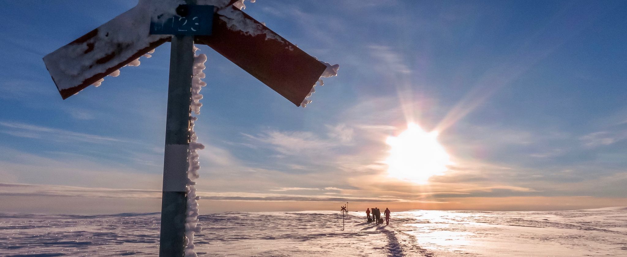
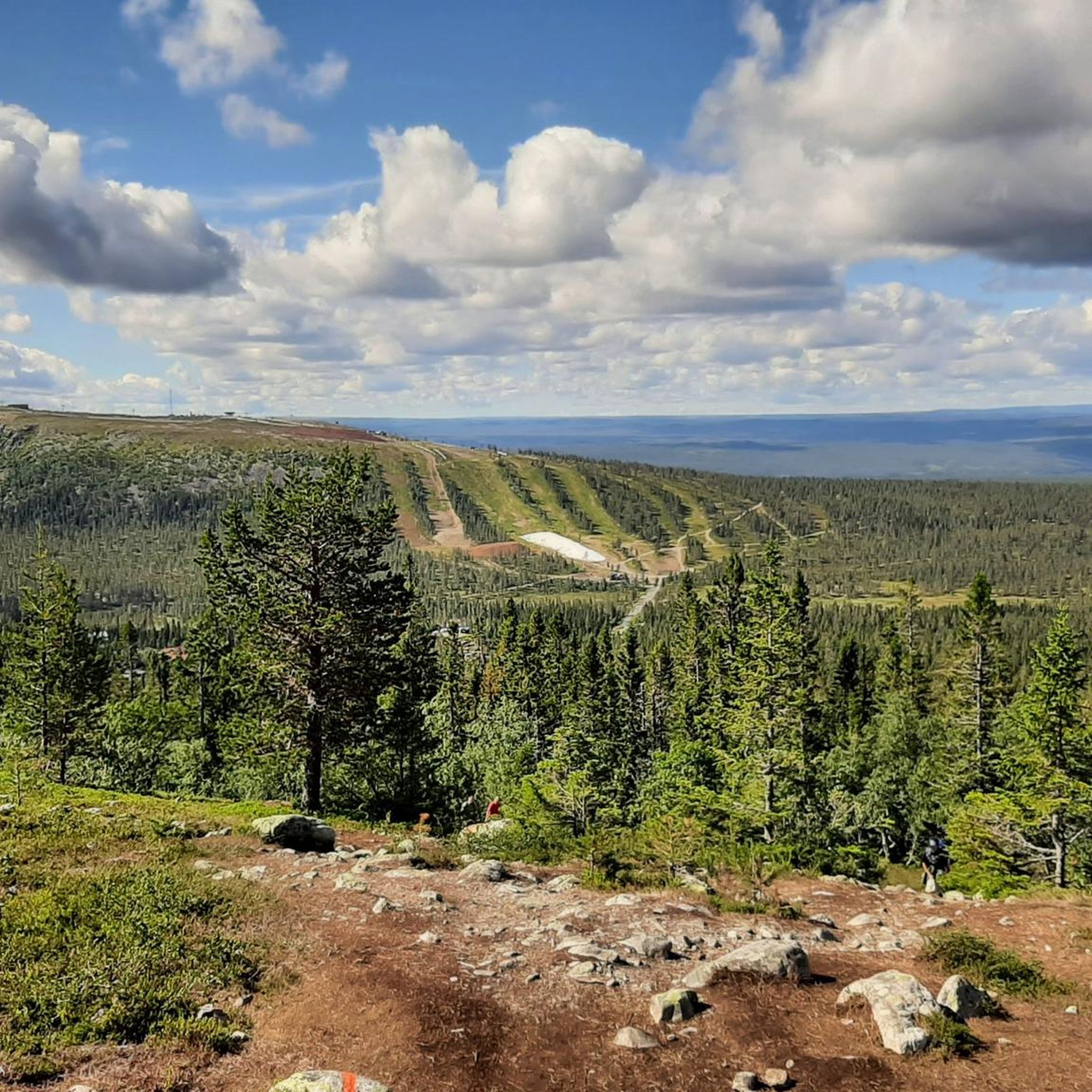
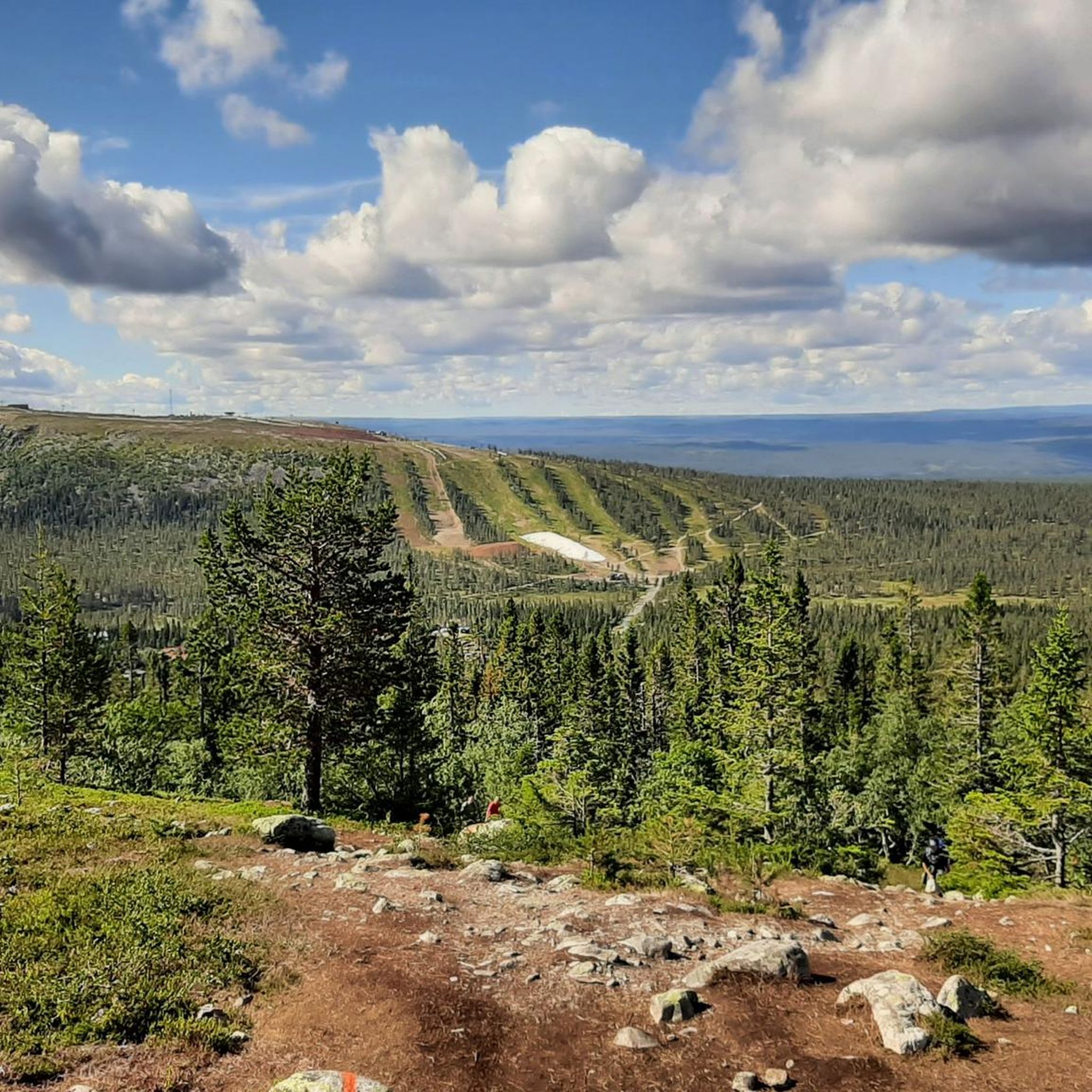
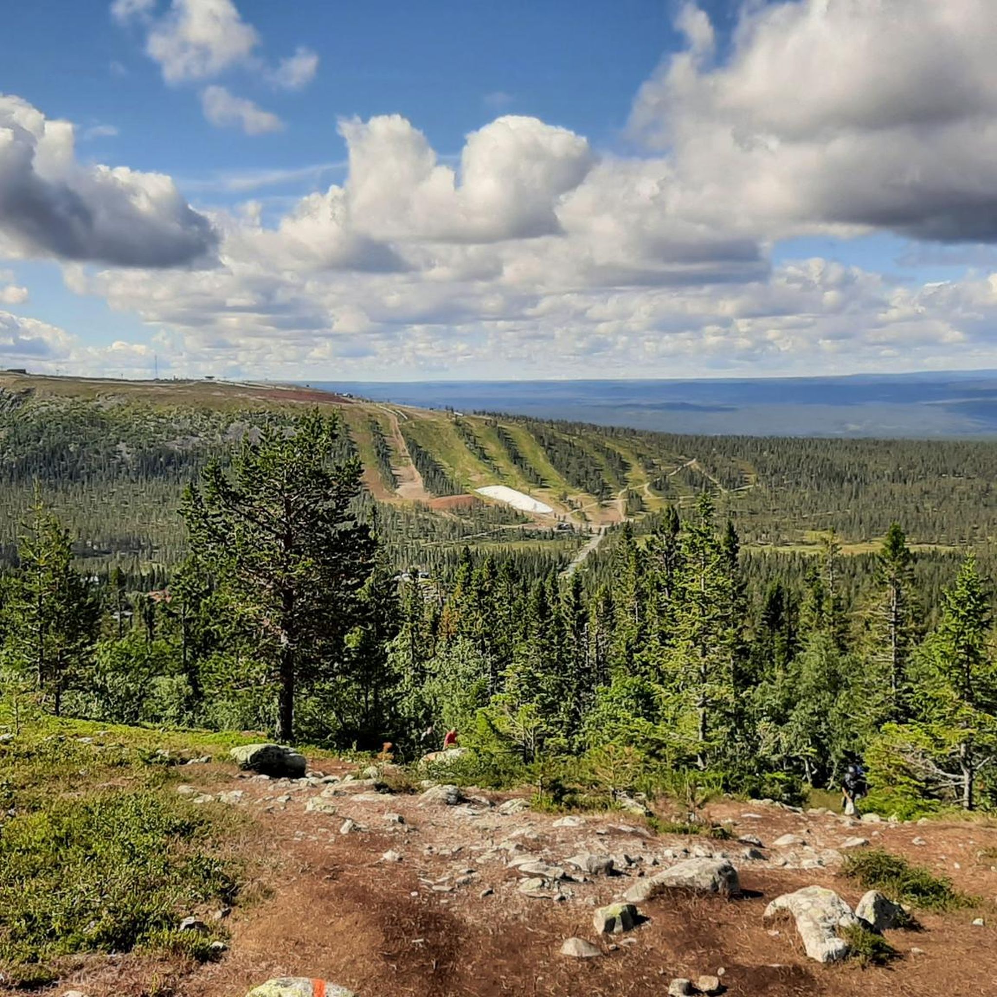
Other adventures around Städjan-Nipfjället

Tips from the Community

Definitely. For us, the most beautiful mountain peak in Dalarna.
0
0

Surrounded by fantastic views of the nearby hilltops on this trail: Slagebäckstöten to the west and Ulandshögen to the east.
1
0
An atmospheric shelter/rest hut. In good weather, take advantage of the outdoor benches around a fireplace. Next to the hut a small stream flows providing a water source. There is also an emergency telephone in the hut.
0
0

Please note: Do not go up from the parking lot. First follow the road further, then a dead-end street and in a sharp bend to the right, turn left onto planks (orange markings). Beautiful walk.
0
0

I agree with the general enthusiasm for this great spot. I was here in winter and was glad I had snowshoes with me. Several skiers also made the ascent over the east on foot, but the way over the fell definitely required skis or snowshoes. I went up to the west and it was quite a climb. But great! Since I was up in the fog the first time, I came back again in good weather. I could only share my photos on the neighboring highlight “this view”.
1
1

You can either go from the southeast over the pre-summit or directly up. However, the route over the pre-summit is flatter and easier to walk - and the great views open up from medium height.
0
0
It is more than 400 meters in altitude, but it is a very easy hike with a very wide and rewarding panoramic view, as the Städjan is quite alone.
1
1

The climb to the Städjan is very worthwhile. The 360 degree panoramic view of Norway is definitely worth the effort.
0
0
Frequently Asked Questions
How many running routes are available in Städjan-Nipfjället?
Städjan-Nipfjället offers a diverse selection of over 20 running routes. These trails cater to various fitness levels, ranging from moderate forest loops to more challenging mountain ascents.
What kind of terrain can I expect on the jogging trails in Städjan-Nipfjället?
The jogging trails in Städjan-Nipfjället feature a varied terrain, traversing mountain forests, barren plateaus, and open areas. You'll encounter ground alternating between forest paths and gravel tracks. Some sections may be wet due to marshland or slightly rocky and technical, adding to the diverse running experience.
Are there any moderate running routes suitable for a good workout?
Yes, there are 11 moderate running routes in the area. A popular choice is the Loop to Gränjestjärn Lake from Idre Fjäll, which is 9.2 miles (14.7 km) long and leads through varied forest and open areas. Another option is the Running loop from Fjätervålens Sportservice, a 5.0 km route with moderate elevation gain.
What are some of the natural landmarks or viewpoints I can see while running?
The region is rich in natural landmarks. You can enjoy magnificent views of the distinctive Städjan Summit, often described as anvil-like, and panoramic vistas from Lillnipen Summit. The Nipfjäll Plateau Trail offers expansive mountain views, and you might even spot traces of the Ice Age, such as glacial meltwater ridges on Fjätervålen.
Are there any circular running routes in Städjan-Nipfjället?
Yes, many of the routes are circular. For a challenging loop, consider the Nipfjället and Mulen Peaks Loop, a 9.7-mile (15.5 km) trail offering panoramic mountain views. For a shorter, moderate option, the Forest Shelter with Grill loop from Tandtjärnen is a 4.9 km circular route.
What do other runners enjoy most about the trails in Städjan-Nipfjället?
The running routes in Städjan-Nipfjället are highly rated by the komoot community, with an average score of 4.1 stars from over 7 reviews. Runners often praise the majestic mountain peaks, ancient forests, and open plateaus, as well as the variety of trails suitable for different ability levels. Many appreciate the stunning views and the invigorating environment for outdoor activity.
Are there any wilderness shelters or places to rest along the routes?
Yes, the area features wilderness shelters that can be useful for longer excursions. For example, the Ulandstuga Wilderness Shelter provides a place for rest and access to fresh drinking water. You can also find the Nipfjällsstugan Cabin and Slagubäcksstugan Wilderness Hut.
Can I bring my dog on the running trails?
While the guide doesn't specify dog-friendly routes, national parks and nature reserves in Sweden generally welcome dogs on trails, often requiring them to be on a leash. It's always best to check local regulations for Städjan-Nipfjället Nature Reserve to ensure compliance and a pleasant experience for everyone.
Are there any challenging routes for experienced trail runners?
Absolutely. Städjan-Nipfjället offers 10 difficult running routes for experienced trail runners. The Städjan Summit Cairn loop from Idre fjäll is a challenging 3.2-mile (5.1 km) path that leads towards the distinctive Städjan peak, providing significant elevation gain and a rewarding experience.
What are the best times of year to go jogging in Städjan-Nipfjället?
The best time for jogging typically spans from late spring through early autumn (May to September), when the trails are generally free of snow and ice. During these months, you can enjoy the diverse ecosystems, from ancient forests to open fells, and potentially spot rich wetland bird life. Summer also offers opportunities for swimming in lakes like Burusjön and Stora Harundsjön.
Are there any unique natural phenomena to look out for?
Yes, Städjan-Nipfjället is home to 'Trollvägen' (Troll Road), an intriguing optical illusion where cars appear to roll uphill when the clutch is depressed. While not directly on a running trail, it's a curious attraction in the vicinity that adds to the region's unique character.
Are there any specific attractions related to the mountains Städjan and Nipfjället?
Yes, the twin peaks themselves are major attractions. Städjan, with its distinctive silhouette, is said to have inspired the Swedish national anthem. Nipfjället offers panoramic mountain views, with its highest point 'Cloud' at 1,191 meters. You can find more information about these iconic mountains on Visit Dalarna's page for Städjan and Nipfjället.
Most popular routes around Städjan-Nipfjället
Most popular attractions around Städjan-Nipfjället

Get inspired with the komoot mobile app


Explore more
Browse the best Running Trails & Routes in other regions.
