Easy hikes and walks around Dreienberg
4.6
(2093)
6,893
hikers
445
hikes
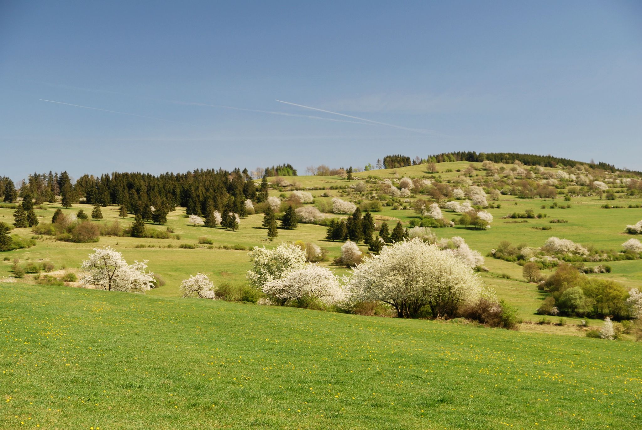
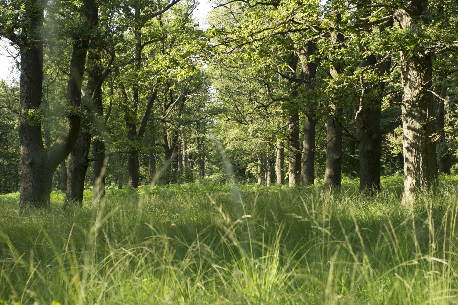
Easy hiking trails around Dreienberg are situated within the Rhön Biosphere Reserve, featuring the 524-meter-high, three-peaked Dreienberg mountain. The region is characterized by near-natural beech forests and unique limestone flora, including various orchid species. Hikers can experience consistently elevated terrain, offering panoramic views of the Rhön and the Thuringian Forest. The landscape provides a diverse environment for outdoor activities.
Best easy hiking trails around Dreienberg
- The most popular easy hiking route is Friedewald Water Castle – Dreienberg Nature Trail loop…
Last updated: June 30, 2026
4.8
(24)
85
hikers
Easy hike. Great for any fitness level. Easily-accessible paths. Suitable for all skill levels.
4.6
(32)
100
hikers
Easy hike. Great for any fitness level. Easily-accessible paths. Suitable for all skill levels.

Sign up for free
4.2
(5)
14
hikers
8.53km
02:15
80m
80m
Moderate hike. Good fitness required. Easily-accessible paths. Suitable for all skill levels.
4.5
(4)
14
hikers
Easy hike. Great for any fitness level. Easily-accessible paths. Suitable for all skill levels.
5.0
(2)
12
hikers
Easy hike. Great for any fitness level. Easily-accessible paths. Suitable for all skill levels.
Get access to more routes and recommendations from other explorers.
Sign up for free
Already have an account?
Our route recommendations are based on thousands of hikes, rides, and runs completed by other people on komoot.
Start today with a free account
Your next adventure awaits.
Login or Signup


Tips from the Community


The Rhön-Extratour "Dreienberg" around the northernmost mountain in the Rhön measures just over 8 km. As an Extratour, the trail is not only well signposted; numerous information boards about flora, fauna, and geology, like this one, guide and accompany you along the way.
1
0
The Rhön-Extratour "Dreienberg", measuring just over 8 km, circles the northernmost mountain of the Rhön. As an Extratour, the trail is not only well signposted, but numerous panels with hiking maps and information on flora, fauna, and geology accompany you along the way, as here.
0
0
Among the shelters along the Rhön-Extratour "Dreienberg" trail, this one stands out particularly - besides the hut and outdoor seating, there is also a spring. Especially in summer, this shady spot is very pleasant. Although there is no view, the other shelters offer that.
2
0
Elsewhere on the Dreienberg-Extratour there are only individual benches and the space in the shelters is also rather limited. Here, therefore, everything is a bit more generous. But no roof and therefore no weather protection, if it were necessary.
1
0
The Rhön-Extratour "Dreienberg" around the northernmost mountain of the Rhön measures just over 8 km. As an Extratour, the path is not only well signposted, but numerous panels with hiking maps and information on flora, fauna and geology, as here, guide and accompany you along the way.
1
0
The Rhön-Extratour "Dreienberg" around the northernmost mountain of the Rhön is just over 8 km long. As an Extratour, the path is not only well signposted, but numerous boards with hiking maps and information on flora, fauna and geology also lead and accompany you along the way, as here.
1
0
Jams, eggs, ice cream and whatever the current season offers - here you can buy one or two original regional products after your hike.
1
0
Frequently Asked Questions
How many easy hiking trails are available around Dreienberg?
Dreienberg offers a wide selection of easy hiking trails, with over 200 routes available for you to explore. These trails are set within the Rhön Biosphere Reserve, providing diverse natural landscapes.
What kind of natural features can I expect to see on easy hikes in Dreienberg?
Easy hikes around Dreienberg feature near-natural beech forests and unique limestone flora, including various species of orchids, silver thistles, and German and fringed gentians. The area is also known for its panoramic views of the Rhön and the Thuringian Forest from its elevated terrain.
Are there any family-friendly easy hiking trails in Dreienberg?
Yes, many easy trails in Dreienberg are suitable for families. The region's well-maintained and clearly signposted paths, often with manageable ascents and descents through shaded forests, make them ideal for all ages. The Bench with View of Dreienberg – Dreienburg Ruins loop from Friedewald is a great option for a shorter, easy family outing.
Can I bring my dog on the easy hiking trails around Dreienberg?
Dreienberg is generally dog-friendly, with many trails suitable for walks with your canine companion. It's always recommended to keep dogs on a leash to protect the local wildlife and flora, especially within the nature reserve. The Dreienberg Trailhead Parking – View of Friedewald Castle loop from Friedewald offers an easy route for you and your dog.
Are there circular easy hiking routes in Dreienberg?
Yes, Dreienberg features several easy circular routes. For example, the Friedewald Water Castle – Dreienberg Nature Trail loop from Friedewald is a popular 3.2-mile (5.1 km) circular trail. Another option is the Friedewald Water Castle – Friedewald Cycle Path Church loop from Friedewald, which is 3.6 miles (5.8 km) long and offers varied scenery.
What historical landmarks or points of interest can I find on easy hikes?
Along easy hikes, you can discover historical sites like the Dreienburg Ruins. The 'Tor Trail,' though not specifically listed as an easy komoot route here, is a historically rich path that winds through forests and reveals excavated foundation walls of a church from the predecessor village of 'Hammundeseiche,' dating back to 1141.
Where can I park when visiting the easy hiking trails in Dreienberg?
Starting points for hikes, such as the Extratour Dreienberg, are accessible from Friedewald village square and multiple hiking car parks. Many easy trails, like the Dreienberg Trailhead Parking – View of Friedewald Castle loop from Friedewald, begin directly from designated parking areas, making access convenient.
Is public transport available to reach the easy hiking trails in Dreienberg?
Yes, the village of Friedewald serves as a common starting point for many trails around Dreienberg and is accessible by public transport. From Friedewald, you can easily reach various trailheads for your easy hiking adventures.
What do other hikers enjoy most about the easy trails in Dreienberg?
The easy hiking trails around Dreienberg are highly rated by the komoot community, with an average score of 4.6 stars from over 1,800 reviews. Hikers often praise the consistently elevated terrain offering panoramic views, the unique limestone flora, and the well-maintained paths through near-natural beech forests.
Are there places to rest or shelters along the easy hiking routes?
Yes, the region is well-equipped with amenities for hikers. The panoramic circular trail, for instance, maintains a constant altitude and is equipped with four mountain huts, numerous benches, and rest areas for comfort. You can find shelters like the Lautenhausen Shelter and Forest Fountain and the Dreienberg shelter and stone fountain.
What is the best time of year for easy hikes in Dreienberg?
Dreienberg offers enjoyable hiking experiences throughout the year. Spring and summer are ideal for observing the vibrant limestone flora, including orchids, while autumn provides stunning foliage in the beech forests. Even in winter, the elevated terrain can offer beautiful, crisp views, though conditions may vary.
Most popular routes around Dreienberg
Most popular attractions around Dreienberg

Get inspired with the komoot mobile app


Explore more
Browse the best Hikes in other regions.
