Easy hikes and walks around Am Am Ebberg
4.5
(19158)
84,550
hikers
21
hikes
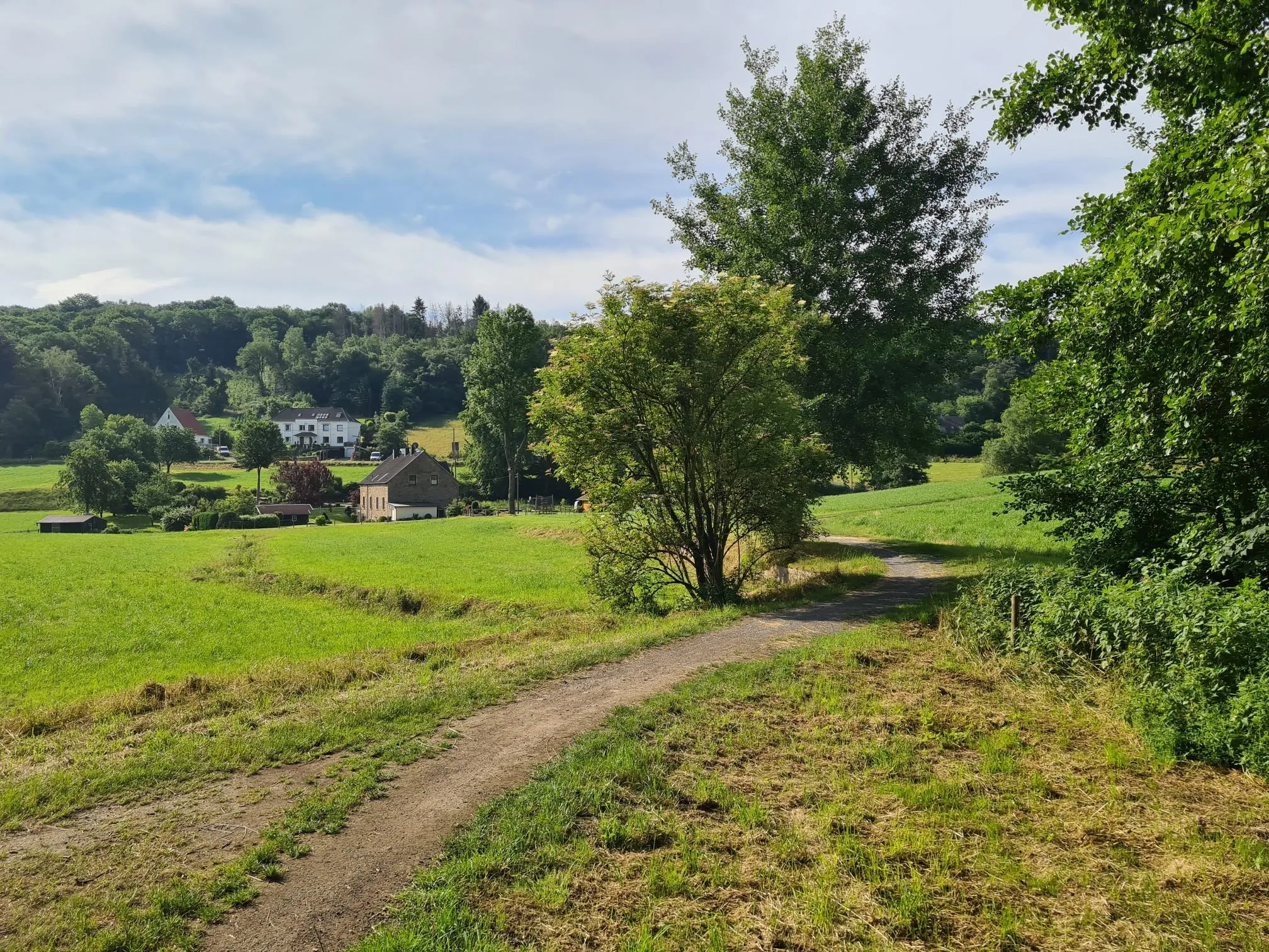
Easy hiking trails around Am Am Ebberg are characterized by accessible paths and natural beauty, primarily within the Wannebachtal Nature Reserve. This region features natural floodplains and varied terrain, offering a serene setting for outdoor activities. The landscape includes gentle hills and well-maintained trails, making it suitable for a broad range of hikers.
Best easy hiking trails around Am Am Ebberg
- The most popular easy hiking route is View of the Wannebach Valley – Wannebach Valley loop from Syburg,…
Last updated: June 30, 2026
4.8
(20)
59
hikers
6.81km
01:52
110m
110m
Easy hike. Great for any fitness level. Easily-accessible paths. Suitable for all skill levels.
4.6
(5)
36
hikers
Easy hike. Great for any fitness level. Easily-accessible paths. Suitable for all skill levels.

Sign up for free
4.5
(8)
30
hikers
3.96km
01:07
80m
80m
Easy hike. Great for any fitness level. Easily-accessible paths. Suitable for all skill levels.
5.0
(3)
21
hikers
6.02km
01:40
110m
110m
Easy hike. Great for any fitness level. Easily-accessible paths. Suitable for all skill levels.
4.5
(10)
61
hikers
Easy hike. Great for any fitness level. Easily-accessible paths. Suitable for all skill levels.
Get access to more routes and recommendations from other explorers.
Sign up for free
Already have an account?
Our route recommendations are based on thousands of hikes, rides, and runs completed by other people on komoot.
Start today with a free account
Your next adventure awaits.
Login or Signup
Popular around Am Am Ebberg
Other adventures around Am Am Ebberg

Tips from the Community

In the middle of nature, the two rivers and, to match, the beer garden for a break, what more could you want?
0
0

Strictly speaking, the name of the highlight is incorrect, as this is the Schwerte telecommunications tower, NOT the Dortmund Florianturm! 😬
0
0

Nice stop for a break
0
0
Today we had fantastic winter weather for our hike.
0
0
At the end of the tour
0
0
The nature here is very beautiful.
0
0

At this point you can discover a crazy hedge face that the owners cut out of a topiary and decorated with giant goggly eyes.
1
0
From the Ebberg you can enjoy a wonderful view towards Syburg.
2
0
Frequently Asked Questions
How many easy hiking trails are available around Am Am Ebberg?
There are 15 easy hiking trails around Am Am Ebberg. In total, the region offers 20 routes for various difficulty levels.
What is the typical terrain like on the easy hiking trails in Am Am Ebberg?
The easy hiking trails around Am Am Ebberg are characterized by accessible paths, gentle hills, and well-maintained surfaces. Many routes traverse the natural floodplains of the Wannebachtal Nature Reserve, offering a serene and varied landscape.
Are there any circular easy walks in Am Am Ebberg?
Yes, many of the easy trails are circular. For example, the View of the Wannebach Valley – Wannebach Valley loop from Syburg is a popular circular route, as is the Tannenallee – View of Schwerte and Holzen loop from Ebberg.
What do other hikers enjoy most about the easy trails in Am Am Ebberg?
The easy trails in Am Am Ebberg are highly rated by the komoot community, with an average score of 4.2 stars from over 190 reviews. Hikers often praise the accessible paths, the natural beauty of the Wannebachtal Nature Reserve, and the scenic views of Schwerte and Holzen.
When is the best time of year to hike the easy trails in Am Am Ebberg?
The trails around Am Am Ebberg are generally enjoyable year-round. Spring and autumn offer pleasant temperatures and vibrant scenery, while summer provides lush greenery. Even in winter, the well-maintained paths can be suitable for a refreshing walk, though conditions may vary.
Are the easy hiking trails around Am Am Ebberg suitable for families?
Yes, the accessible paths and gentle terrain make many of the easy trails around Am Am Ebberg suitable for families. Routes like the View from Ebberg – View of Schwerte and Holzen loop from NSG Wannebachtal - Buchholz are relatively short and offer engaging views without significant challenges.
Can I bring my dog on the easy hiking trails?
Most trails in the Am Am Ebberg region, especially those within natural areas like the Wannebachtal Nature Reserve, are dog-friendly. However, it's always recommended to keep dogs on a leash and be mindful of local regulations and other hikers.
What natural features or viewpoints can I expect to see on these easy hikes?
The easy hikes primarily feature the natural floodplains of the Wannebachtal Nature Reserve. Many routes also offer scenic viewpoints, such as those providing expansive views of Schwerte and Holzen from Ebberg, or glimpses into the Wannebach Valley.
Are there any interesting landmarks or attractions near the easy hiking routes?
Yes, there are several points of interest nearby. You can explore the Naturefriends' House Ebberg or learn about the region's history at the Coal-mining history information board at Ebberg. For those interested in other activities, there's also an Archery Trail in the Ruhr Region Forest.
Is parking available near the trailheads for easy hikes?
While specific parking information for each trailhead is best found on individual route pages, the Am Am Ebberg area is generally accessible, and parking options are typically available near popular starting points for hiking routes.
Can I reach the easy hiking trails using public transport?
The region around Am Am Ebberg is generally well-connected. For specific public transport options to individual trailheads, it's advisable to check local transport schedules and route details on komoot or regional transport websites.
What is the average distance and elevation gain for easy hikes in Am Am Ebberg?
The easy hikes in Am Am Ebberg typically range from 2.5 to 4.2 miles (4 to 6.7 km) in distance. Elevation gain is generally moderate, often around 80 to 110 meters, making them suitable for a relaxed walking experience.
Most popular routes around Am Am Ebberg
Most popular attractions around Am Am Ebberg

Get inspired with the komoot mobile app


Explore more
Browse the best Hikes in other regions.
