The best walks and hikes around Am Am Ebberg
4.5
(18156)
77,239
hikers
21
hikes
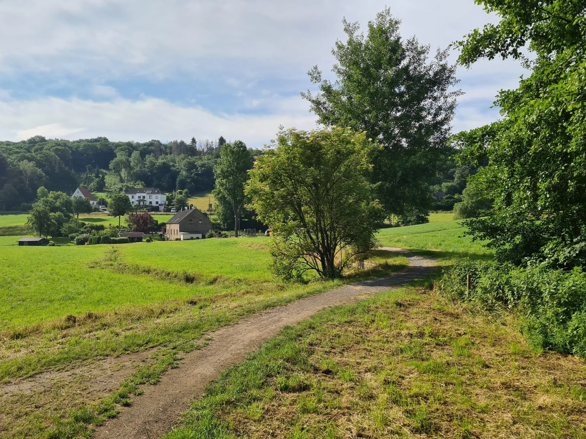
Hiking trails around Am Am Ebberg are situated within a beautiful forest in Kreis Unna, offering a diverse landscape for outdoor activities. The area features varied topography, including river valleys like the Wannebach and Ruhr, alongside forested hills and viewpoints. This region provides a mix of natural settings, from tranquil riverside paths to elevated forest trails.
Best hiking trails around Am Am Ebberg
- The most popular hiking route is Ruhr Riverside Trail – Mouse Tower on Lake Hengstey loop from…
Last updated: July 7, 2026
4.6
(42)
154
hikers
10.4km
02:55
200m
200m
Moderate hike. Good fitness required. Easily-accessible paths. Suitable for all skill levels.
4.6
(28)
113
hikers
9.56km
02:43
210m
210m
Moderate hike. Good fitness required. Easily-accessible paths. Suitable for all skill levels.

Sign up for free
4.6
(18)
75
hikers
Hard hike. Very good fitness required. Mostly accessible paths. Sure-footedness required.
4.8
(20)
59
hikers
6.81km
01:52
110m
110m
Easy hike. Great for any fitness level. Easily-accessible paths. Suitable for all skill levels.
4.6
(5)
36
hikers
Easy hike. Great for any fitness level. Easily-accessible paths. Suitable for all skill levels.
Get access to more routes and recommendations from other explorers.
Sign up for free
Already have an account?
Our route recommendations are based on thousands of hikes, rides, and runs completed by other people on komoot.
Start today with a free account
Your next adventure awaits.
Login or Signup
Other adventures around Am Am Ebberg

Tips from the Community

Strictly speaking, the name of the highlight is incorrect, as this is the Schwerte telecommunications tower, NOT the Dortmund Florianturm! 😬
0
0

The hiking trails here are an experience
0
0
Dreamlike nature trails can be found here
0
0
The nature here is very beautiful.
0
0

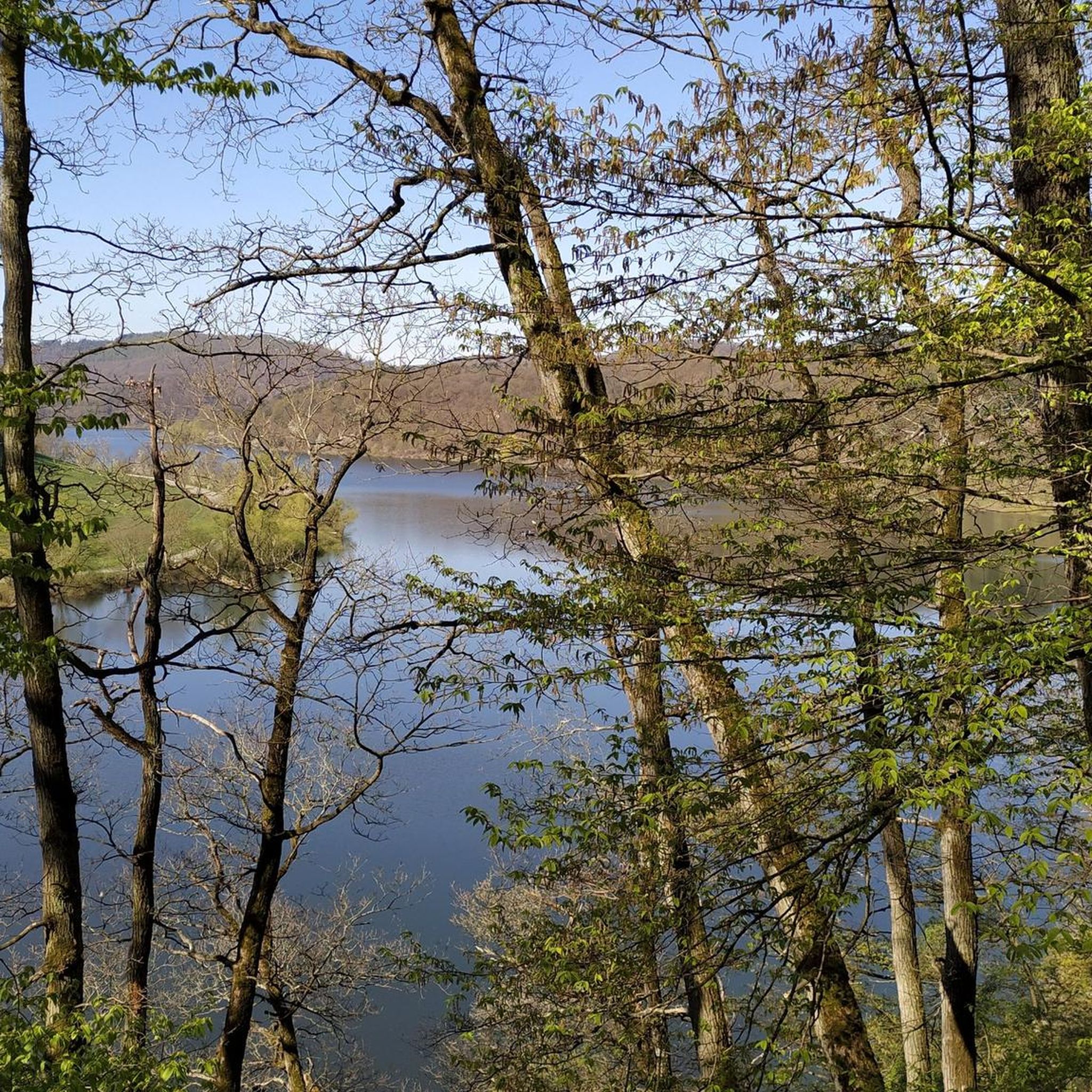
The Wannebach Valley is a nature reserve and one of the most popular local recreation areas in the Dortmund-Syburg area. It extends over several sub-areas in the Dortmund, Schwerte, and Hagen districts. It is characterized by its near-natural floodplain landscape with wet meadows, forests, and a meandering stream.
1
0
A beautiful forest area full of green beech trees starting in spring. However, like all deciduous forests, it becomes relatively desolate in autumn, but completely natural.
1
0
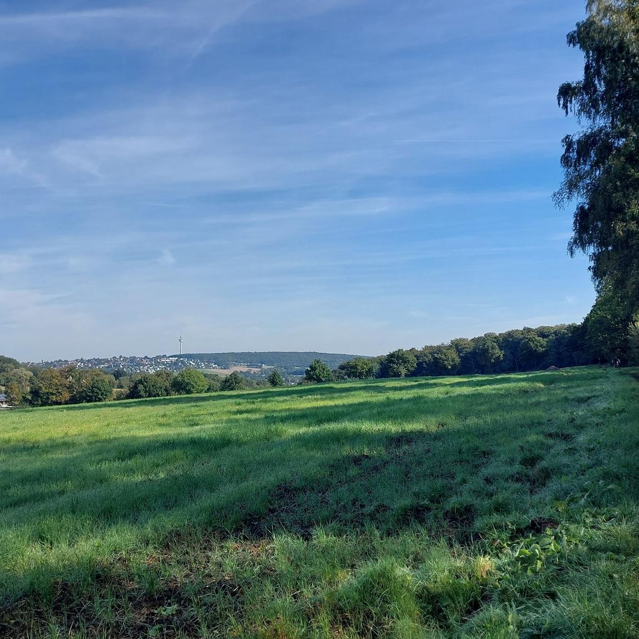
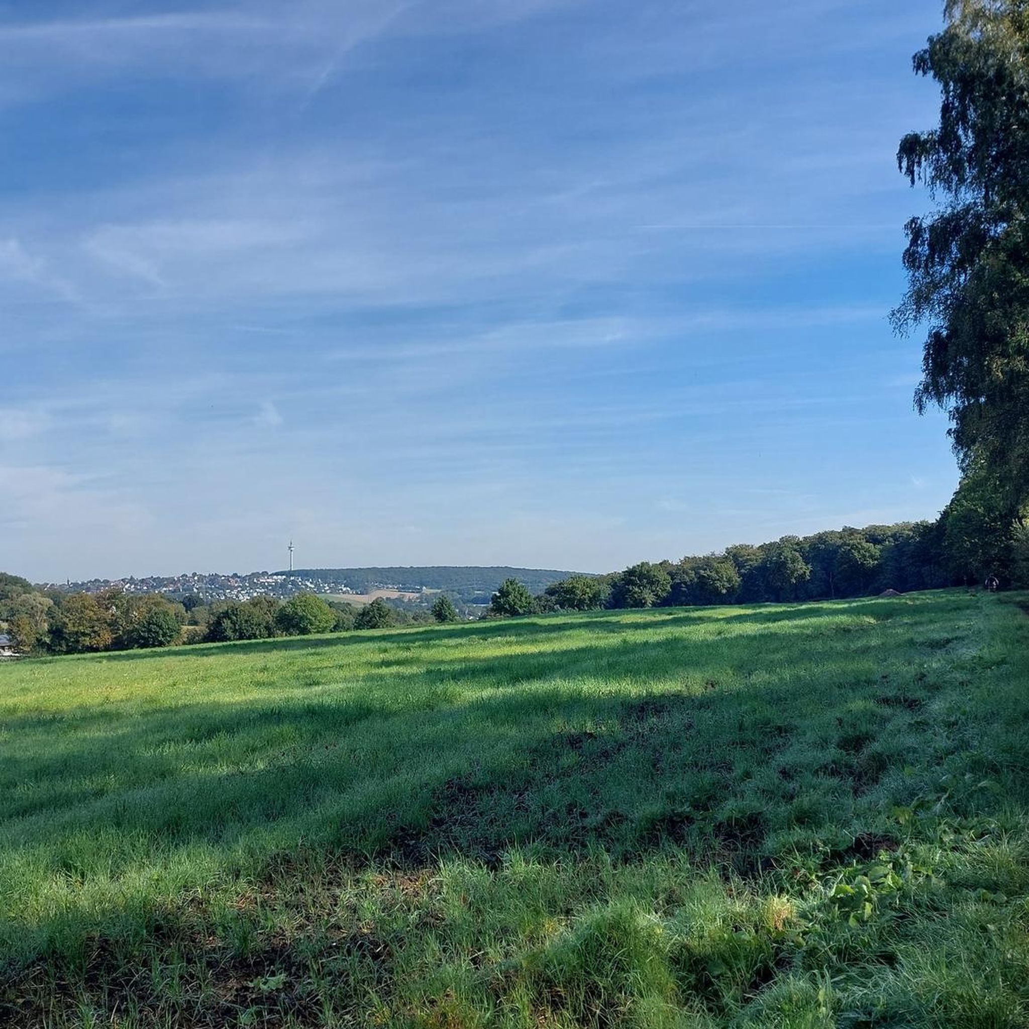
From the Ebberg you can enjoy a wonderful view towards Syburg.
2
0
Frequently Asked Questions
How many hiking trails are there around Am Am Ebberg?
There are over 20 hiking trails to explore around Am Am Ebberg. The region offers a diverse landscape of forested hills, river valleys, and viewpoints, providing a variety of options for hikers.
What kind of terrain can I expect on the hiking trails?
The terrain around Am Am Ebberg is characterized by forested hills and river valleys, including the Wannebach and Ruhr. You'll find a mix of paths, from tranquil riverside routes to elevated forest trails, offering varied scenic experiences.
Are there easy hiking options for beginners or families?
Yes, Am Am Ebberg offers several easy hiking routes. For a pleasant walk with scenic views, consider the View of the Wannebach Valley – Wannebach Valley loop from Syburg, which is 6.7 km long and takes about 2 hours to complete. Another easy option is the View from Ebberg – View of Schwerte and Holzen loop from NSG Wannebachtal - Buchholz, a 4.4 km route.
What are some notable natural features or landmarks to see?
The region is known for its diverse topography, including impressive limestone cliffs and the gentle peaks of the Jura mountains. Along the trails, you can discover historical sites like the Coal-mining history information board at Ebberg, or visit the Naturefriends' House Ebberg.
Are there any circular hiking routes in the area?
Many of the trails around Am Am Ebberg are circular. For example, the Ruhr Riverside Trail – Mouse Tower on Lake Hengstey loop from NSG Wannebachtal - Buchholz is a popular 10.4 km loop that follows the Ruhr riverside and offers views of Lake Hengstey.
What do other hikers enjoy most about Am Am Ebberg?
The hiking trails around Am Am Ebberg are highly rated by the komoot community, with an average score of 4.2 stars from over 195 reviews. Hikers often praise the varied terrain, the tranquil forested paths, and the scenic viewpoints overlooking the landscape.
Can I bring my dog on the hiking trails?
Yes, many trails in the Am Am Ebberg region are suitable for dogs. It's generally recommended to keep dogs on a leash, especially in nature reserve areas, to protect local wildlife and ensure a pleasant experience for all hikers.
What is the best time of year to go hiking in Am Am Ebberg?
The Amberg-Sulzbacher Land, where Am Am Ebberg is located, offers beautiful hiking experiences throughout the year. Spring and autumn provide pleasant temperatures and vibrant natural colors, while summer is ideal for enjoying the lush forests. Even winter can offer unique, serene landscapes, though some paths might require appropriate gear.
Are there any longer or more challenging routes?
For those seeking a more challenging hike, the View of the Hengsteysee – Hohensyburg castle ruins loop from Wannebachtal - Buchholz is a difficult 17.7 km trail that leads through forested terrain and past historical sites, typically taking over 5 hours to complete.
Are there viewpoints along the trails?
Yes, the region is known for its viewpoints. Many routes offer scenic vistas over the river valleys and surrounding forested landscape. The Wannebach Valley – View of the Wannebach Valley loop from Ebberg, for instance, provides excellent views of the Wannebach Valley.
What are the typical durations for hikes in Am Am Ebberg?
Hiking durations vary depending on the route and your pace. Easy trails like the 4.4 km 'View from Ebberg' can take around 1.5 hours, while moderate routes such as the 10.4 km 'Ruhr Riverside Trail' typically take about 3 hours. Longer, more difficult hikes can extend to 5 hours or more.
Most popular routes around Am Am Ebberg
Most popular attractions around Am Am Ebberg

Get inspired with the komoot mobile app


Explore more
Browse the best Hikes in other regions.
