Easy hikes and walks around Kondelwald
4.5
(59491)
212,256
hikers
100
hikes
Easy hiking trails around Kondelwald traverse an expansive forest region within the Moselle Eifel in Rhineland-Palatinate, Germany. The area is characterized by shady forest sections, charming valleys, and hilly meadows, offering a diverse natural experience. Hikers can also find picturesque vineyard sites with views over the Moselle valley, and the Üß river adds to the scenic beauty. The highest point in Kondelwald is Reudelheck, reaching 477.5 meters above sea level.
Best easy hiking trails around Kondelwald
- The most popular easy…
Last updated: October 3, 2026
4.7
(461)
1,362
hikers
6.22km
01:39
60m
60m
Easy hike. Great for any fitness level. Easily-accessible paths. Suitable for all skill levels.
4.2
(44)
155
hikers
2.38km
00:39
30m
30m
Easy hike. Great for any fitness level. Easily-accessible paths. Suitable for all skill levels.

4.4
(63)
147
hikers
4.91km
01:18
40m
40m
Easy hike. Great for any fitness level. Easily-accessible paths. Suitable for all skill levels.
4.6
(78)
334
hikers
5.36km
01:38
170m
170m
Easy hike. Great for any fitness level. Easily-accessible paths. Suitable for all skill levels.
4.6
(32)
226
hikers
3.62km
01:00
70m
70m
Easy hike. Great for any fitness level. Easily-accessible paths. Suitable for all skill levels.
Get access to more routes and recommendations from other explorers.
Already have an account?
Our route recommendations are based on thousands of hikes, rides, and runs completed by other people on komoot.
Start today with a free account
Your next adventure awaits.
Popular around Kondelwald
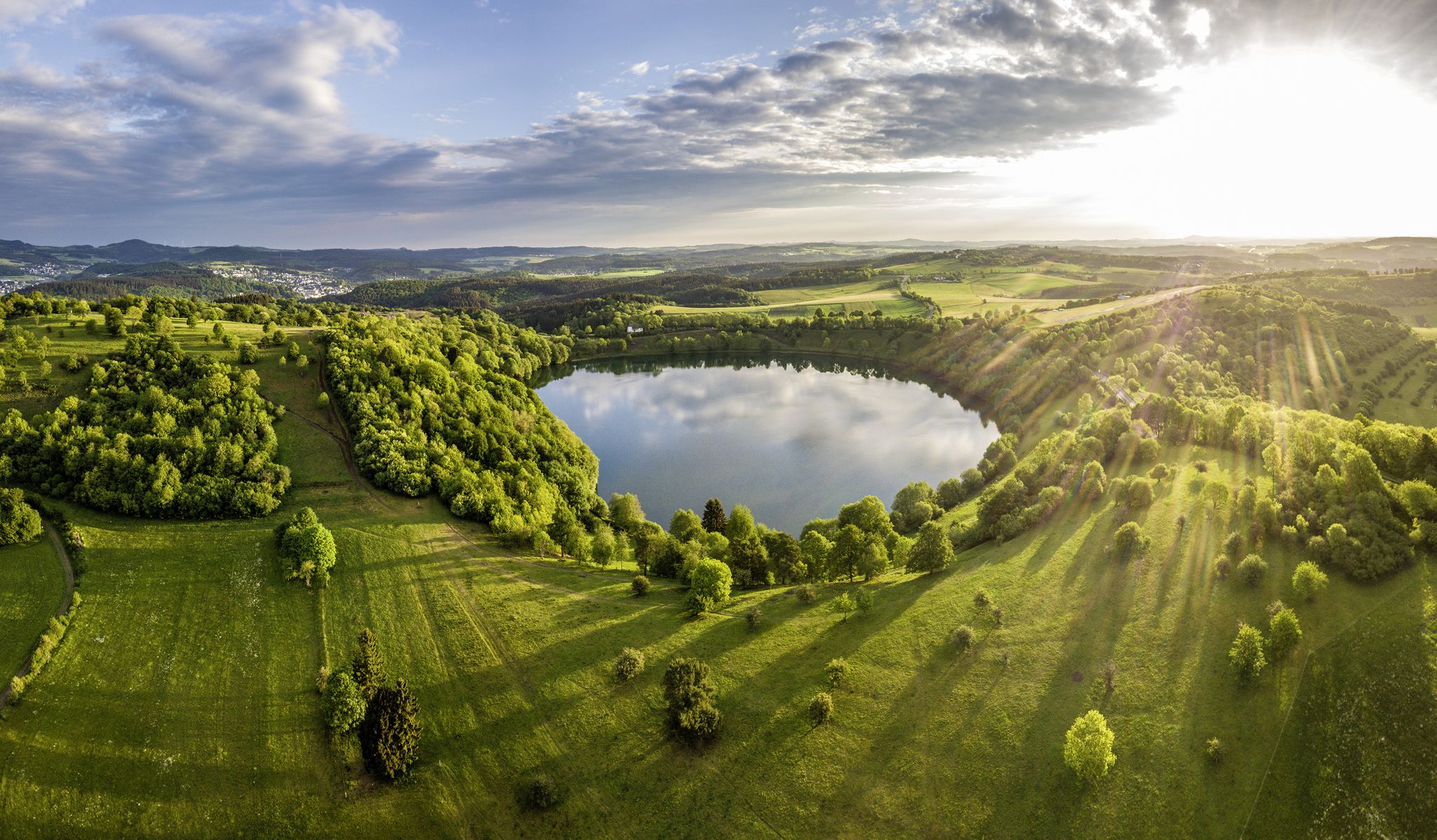
Germany’s Most Beautiful Hiking Trails in the Vulkaneifel

Excellent paths in the Vulkaneifel – Explore the HeimatSpuren
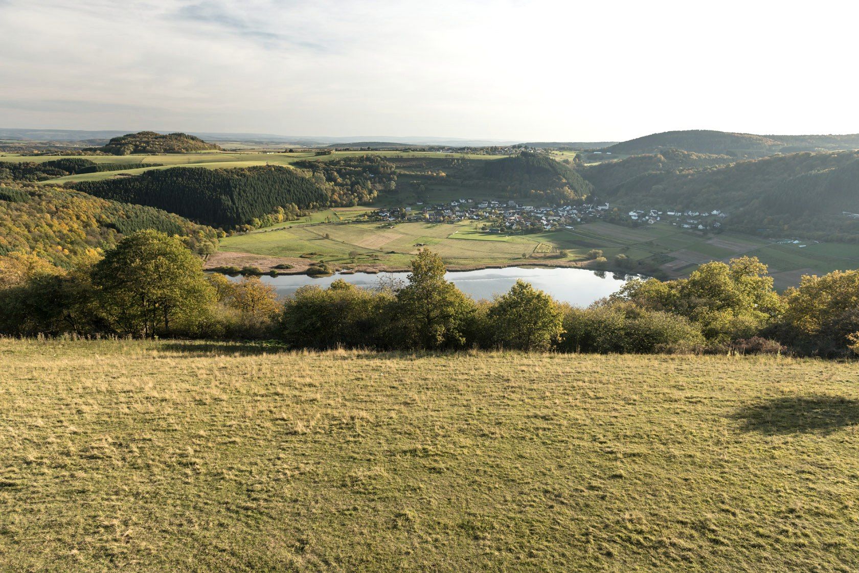
Crater lakes and lava rock – hiking in Germany’s Volcanic Eifel
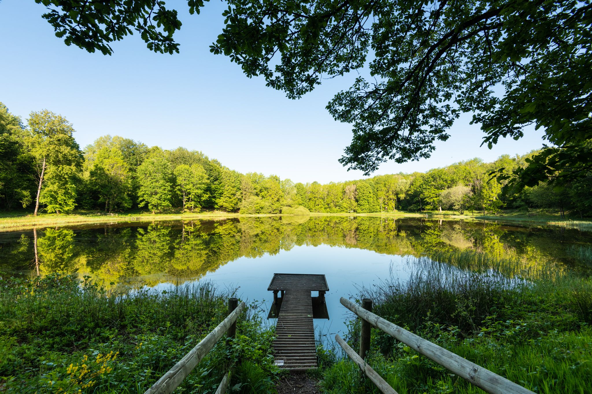
Award-winning hikes – explore the Volcanic Eifel on acclaimed trails
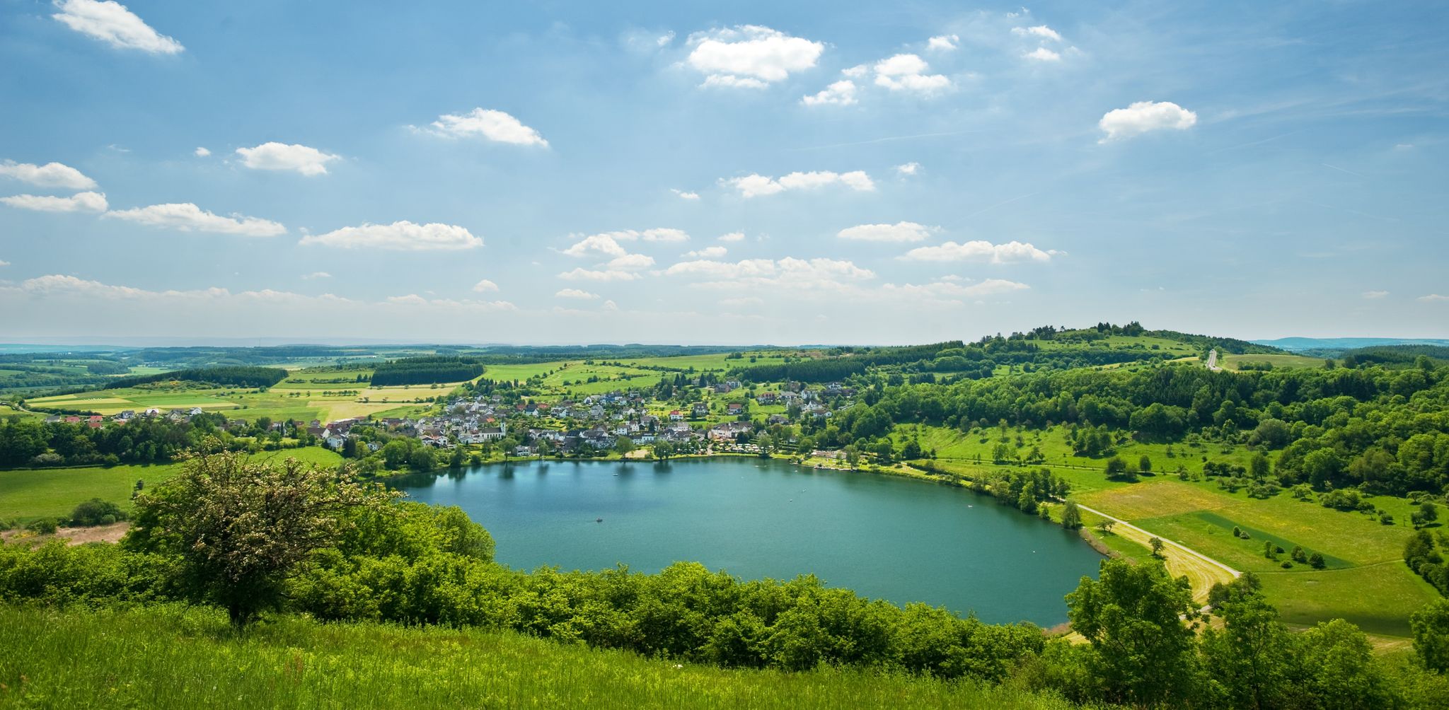
Lava pits & fairytale lakes – hiking through Vulkaneifel in Germany
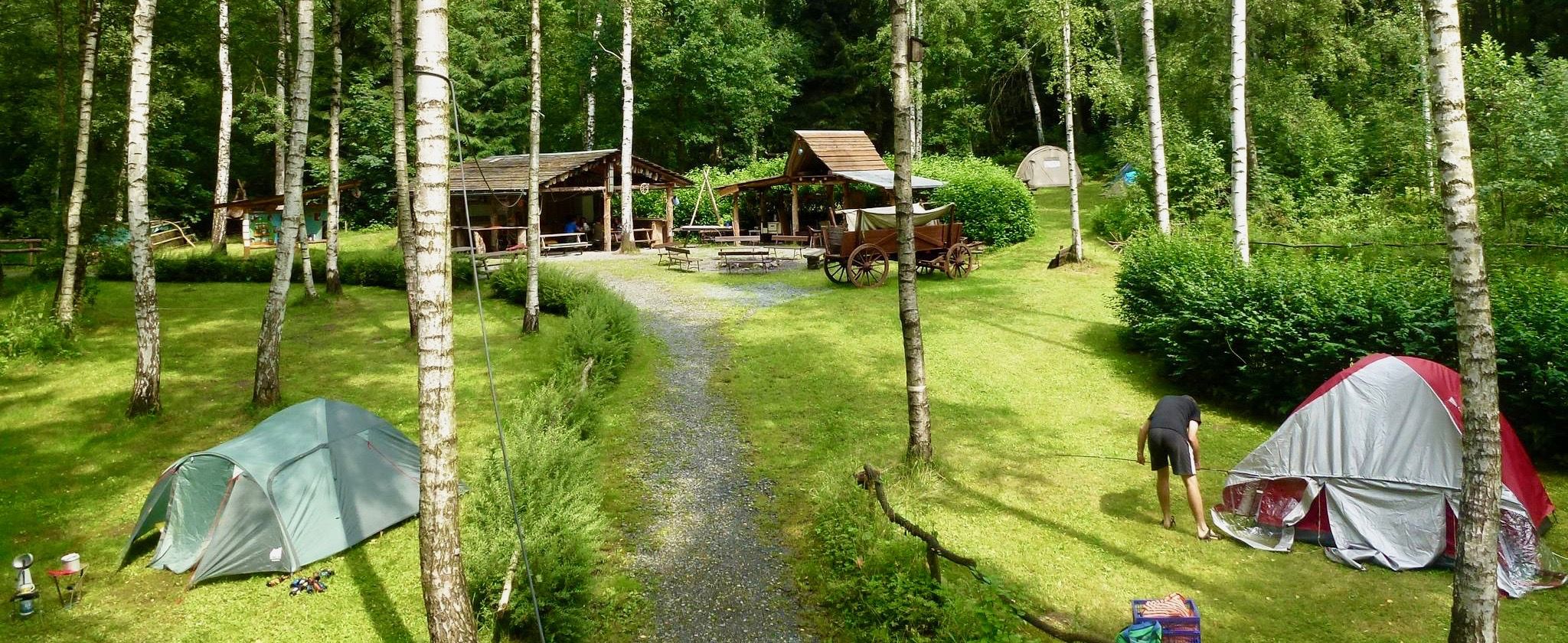
Nature campsites — 13 magical places around Germany
Other adventures around Kondelwald


Tips from the Community

From here you have a great view of the Moselle loops.
0
0
Once you arrive up here, you definitely need a break. But it's worth it.
0
0

The path up there is nice and straight with no incline.
1
0
The summit is for most hikers are motivated to reach the summit cross on their hikes.
2
0
Wine is served at the shelter in good weather. Many hikers aim to reach the summit cross on their hikes.
1
0


From the road, normally only for agriculture and forestry... But the parking lot was full.
1
0
Frequently Asked Questions
How many easy hiking trails are available in Kondelwald?
Kondelwald offers a wide selection of easy hiking trails, with over 40 routes specifically categorized as easy. These trails are designed for a relaxed outdoor experience, traversing diverse landscapes.
What kind of scenery can I expect on easy hikes in Kondelwald?
Easy hikes in Kondelwald provide a pure nature experience, leading through peaceful forests, charming valleys, and hilly meadows. You can also find picturesque vineyard sites offering stunning views, especially over the Moselle valley, and the scenic Üß river.
Are there any specific natural features to look out for on easy hikes?
Yes, the region boasts the scenic Üß river, which adds to the beauty of many trails. A prominent natural feature is the spectacular Bischofsmütze rock formation, which can be a highlight for those exploring its paths.
Can I find historical sites or attractions along easy trails in Kondelwald?
Absolutely. You can explore sites like the historic Springiersbach Abbey near Bengel. The HeimatSpur Ritter-Räuber-Römer – GesundLand Vulkaneifel trail, for instance, offers a blend of natural beauty and historical context.
Are there any family-friendly easy hikes in Kondelwald?
Many easy trails in Kondelwald are suitable for families. The HeimatSpur Spazierweg Elfengrotte/Käsegrotte – GesundLand Vulkaneifel is a shorter, gentle option that leads to interesting natural features like the Elf Grotto and Elbesbach Waterfall, making it engaging for all ages.
What do other hikers say about the easy trails in Kondelwald?
The easy trails in Kondelwald are highly rated by the komoot community, with an average score of 4.5 stars from over 5,400 reviews. Hikers often praise the peaceful forest landscapes, varied terrain, and well-maintained paths that offer a relaxing outdoor experience.
Are there any easy loop trails in Kondelwald?
Yes, Kondelwald features several easy loop trails. An example is the View from the Teufelsbrücke – Path along the Uessbach loop from Bad Bertrich, which guides you through varied terrain including the Üßbach valley.
Where can I find viewpoints on easy hikes in Kondelwald?
Many easy trails offer scenic viewpoints. The region is known for picturesque vineyard sites with views over the Moselle valley. You can also find specific viewpoints like the Heinrich-Raulwing-Platz Viewpoint, which can be incorporated into your hike.
What is the typical duration for an easy hike in Kondelwald?
The duration of easy hikes varies, but many can be completed within 1.5 to 2.5 hours. For example, the HeimatSpur Wald-Wohlfühl-Weg – GesundLand Vulkaneifel, an easy 3.0-mile (4.9 km) path, typically takes around 1 hour 45 minutes.
Are there any caves or grottos accessible on easy trails?
Yes, the region has interesting geological features. The Elf Grotto and Elbesbach Waterfall is a notable highlight, and the HeimatSpur Spazierweg Elfengrotte/Käsegrotte – GesundLand Vulkaneifel leads directly to it, offering an easy way to explore these natural wonders.
What is the best time of year for easy hikes in Kondelwald?
Kondelwald is enjoyable for easy hikes throughout much of the year. Spring brings lush greenery, summer offers shady forest sections, and autumn provides vibrant foliage. The trails are generally accessible and pleasant in most seasons, with specific seasonal considerations depending on weather.
Most popular routes around Kondelwald
Most popular attractions around Kondelwald

Get inspired with the komoot mobile app


Explore more
Browse the best Hikes in other regions.
