Easy hikes and walks around Lac de Tseuzier
4.6
(2027)
18,266
hikers
299
hikes
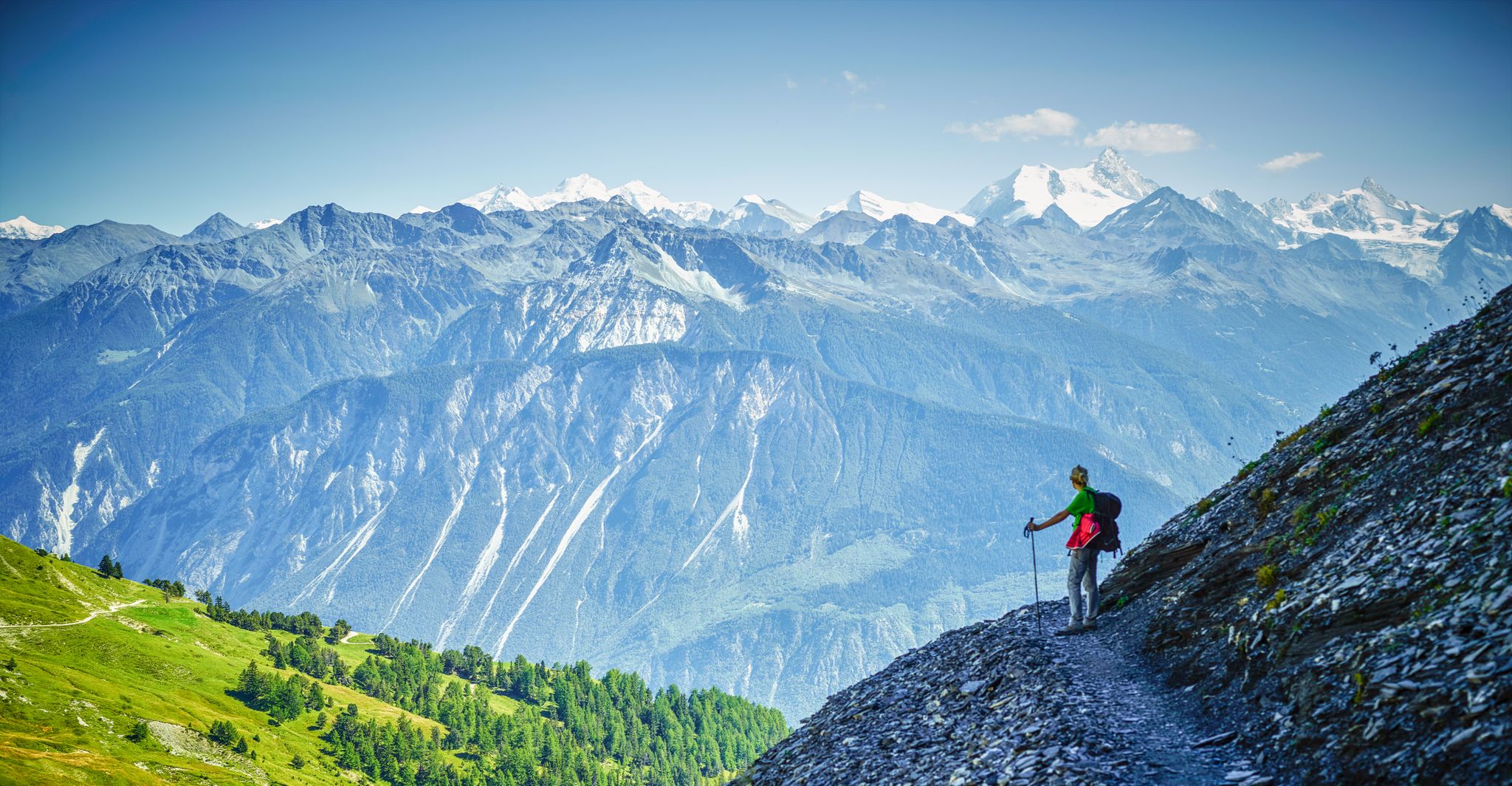
Hiking around Lac de Tseuzier offers access to an emerald artificial reservoir situated at 1777 meters above sea level, surrounded by an alpine environment. The landscape features lush forests, expansive meadows, and dramatic rock formations, with the Rawyl mountain range forming a backdrop. Numerous streams and waterfalls add to the scenic beauty, including a notable waterfall along the lake loop. The region also includes historical elements such as the Rawyl Dam and ancient irrigation channels like the Bisse de Sion.
…Last updated: July 1, 2026
4.9
(125)
883
hikers
5.14km
01:30
130m
130m
Easy hike. Great for any fitness level. Easily-accessible paths. Suitable for all skill levels.
9
hikers
5.43km
01:40
170m
170m
Easy hike. Great for any fitness level. Easily-accessible paths. Suitable for all skill levels.

Sign up for free
9
hikers
Easy hike. Great for any fitness level. Easily-accessible paths. Suitable for all skill levels.
5.0
(1)
24
hikers
Easy hike. Great for any fitness level. Easily-accessible paths. Suitable for all skill levels.
1
hikers
3.98km
01:18
190m
190m
Easy hike. Great for any fitness level. Easily-accessible paths. Suitable for all skill levels.
Get access to more routes and recommendations from other explorers.
Sign up for free
Already have an account?
Our route recommendations are based on thousands of hikes, rides, and runs completed by other people on komoot.
Start today with a free account
Your next adventure awaits.
Login or Signup
Popular around Lac de Tseuzier
Other adventures around Lac de Tseuzier

Tips from the Community

magnificent view of the lake and the surrounding mountains
0
0

Beautiful circular route. We walked with a dog. We started on the right side of the dam wall. This is the unpaved and uneven part. In the back section there is a waterfall and a suspension bridge. The second section is easier to walk, so we found that we started on the right side. However, the route is not possible with a stroller or bicycle, you have to start to the left of the dam wall and can walk approximately as far as the suspension bridge.
1
0

You could save time on your hike by taking a cable car to Cry d'Er (Montana-Arnouva, Arnouva-Cry d'Er), admiring the panoramas then going back down to Crans-Montana via a summit of Mont Lachaux at 2140m altitude.
0
0

A magnificent artificial mountain lake, retained in the valley by a large dam. Despite the artificial nature of the lake, it retains a superb alpine atmosphere and offers sublime views of the mountains which overlook it. The lake is accessible to a wide range of people and has great trails to get in and out of.
0
0

The route around the lake has a few inclines and obstacles, but it is also manageable for younger children without any problems. In addition to fantastic panoramic views, there are also a few waterfalls to be admired.
1
0

Beautiful view of the plain that opens up between the mountain peaks.
2
0
A mighty building. It's worth taking a look from above
2
0

Beautiful reservoir with lake tour. At the back of the reservoir, the hiking trail is very varied, small suspension bridge, bisse, forest, waterfall, picnic area... just beautiful 👍🏻😊
3
0
Frequently Asked Questions
How many easy hiking trails are available around Lac de Tseuzier?
There are over 80 easy hiking trails around Lac de Tseuzier, offering a wide variety of options for different preferences and fitness levels. In total, the region boasts more than 300 hiking routes.
Are there any easy circular walks around Lac de Tseuzier?
Yes, the area is well-known for its easy circular walks. A popular option is the Loop of Lac de Tseuzier, which is about 5.1 km long and takes around 1 hour 29 minutes, leading you through forests and meadows with refreshing lake views.
What natural features or landmarks can I see on an easy hike near Lac de Tseuzier?
Easy hikes around Lac de Tseuzier offer stunning alpine scenery. You'll encounter lush forests, expansive meadows, and dramatic rock formations. The impressive Rawyl Dam is a significant landmark, and you can often spot distant 4000-meter peaks like the Zinal-Rothorn. There are also numerous streams and waterfalls, including a notable waterfall along the lake loop itself.
Are the easy trails around Lac de Tseuzier suitable for families?
Absolutely. Many easy trails, such as the Lac de Tseuzier – Lake Tseuzier loop, are suitable for families. These paths often feature moderate elevation gains and lead through diverse terrain, providing an enjoyable experience for various fitness levels. Some paths even have educational stations about local flora.
Can I bring my dog on the easy hiking trails?
Yes, Lac de Tseuzier is generally dog-friendly. Many of the easy trails, particularly those around the lake and through meadows, are suitable for dogs. Always ensure your dog is on a leash and that you clean up after them to preserve the natural environment for everyone.
What is the best time of year to visit Lac de Tseuzier for easy hiking?
The best time for easy hiking around Lac de Tseuzier is typically from late spring to early autumn. During these months, the weather is milder, trails are clear of snow, and the landscape is vibrant with lush greenery or colorful autumn foliage. The autumn colors are particularly striking.
Are there any historical elements to discover on the easy hikes?
Yes, the region has historical significance. Besides the modern Rawyl Dam, you can explore ancient irrigation channels known as 'bisses.' The Bisse de Sion, for example, offers a unique experience following historical water paths, sometimes through tunnels or rock-cut passages.
What do other hikers enjoy most about the easy trails in Lac de Tseuzier?
The area is highly rated by the komoot community, with an average score of 4.6 stars from over 1,900 reviews. Hikers frequently praise the stunning emerald lake, the picturesque alpine environment, and the well-maintained paths that make for enjoyable and accessible walks.
Is there parking available for easy trail access at Lac de Tseuzier?
Yes, parking is available near Lac de Tseuzier, often serving as a convenient starting point for many trails, including the popular lake loops. The Rawyl Dam area is a common access point.
Are there any easy trails that offer panoramic views?
While many trails offer beautiful views of the lake and surrounding mountains, routes that connect to nearby villages like Anzère, though potentially slightly longer, are known for providing expansive panoramic views across alpine meadows and forests. For a shorter option, the Plateau Near Lac de Tseuzier loop offers lovely vistas through alpine meadows.
Can I reach the easy hiking trails by public transport?
While specific public transport routes directly to all trailheads can vary, the region around Lac de Tseuzier is generally accessible. It's advisable to check local bus schedules to determine the best connections to the main access points for the trails.
Most popular routes around Lac de Tseuzier
Most popular attractions around Lac de Tseuzier

Get inspired with the komoot mobile app


Explore more
Browse the best Hikes in other regions.
