The best mountain hikes around Lac de Tseuzier
5.0
(6)
52
hikers
9
hikes
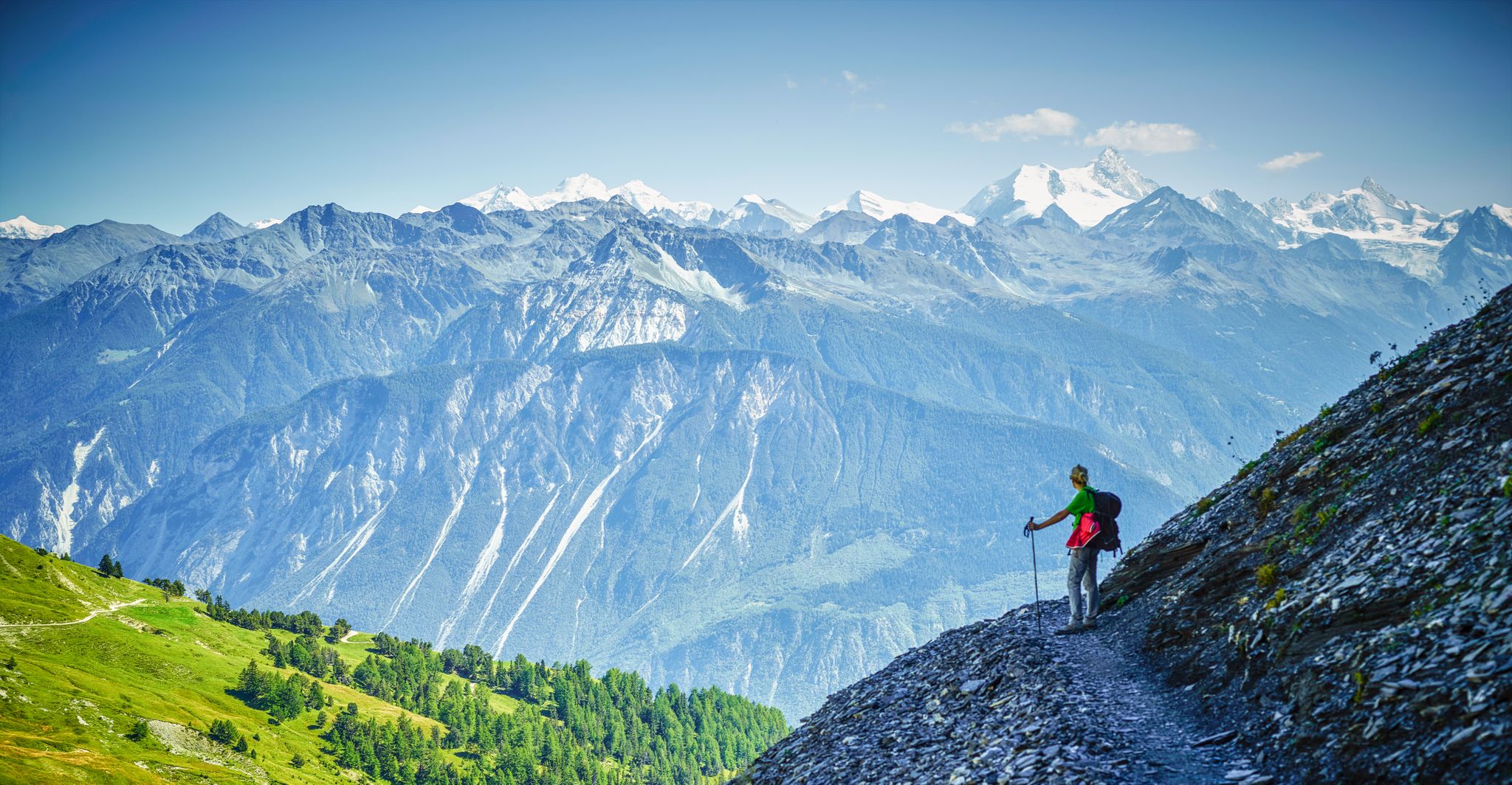
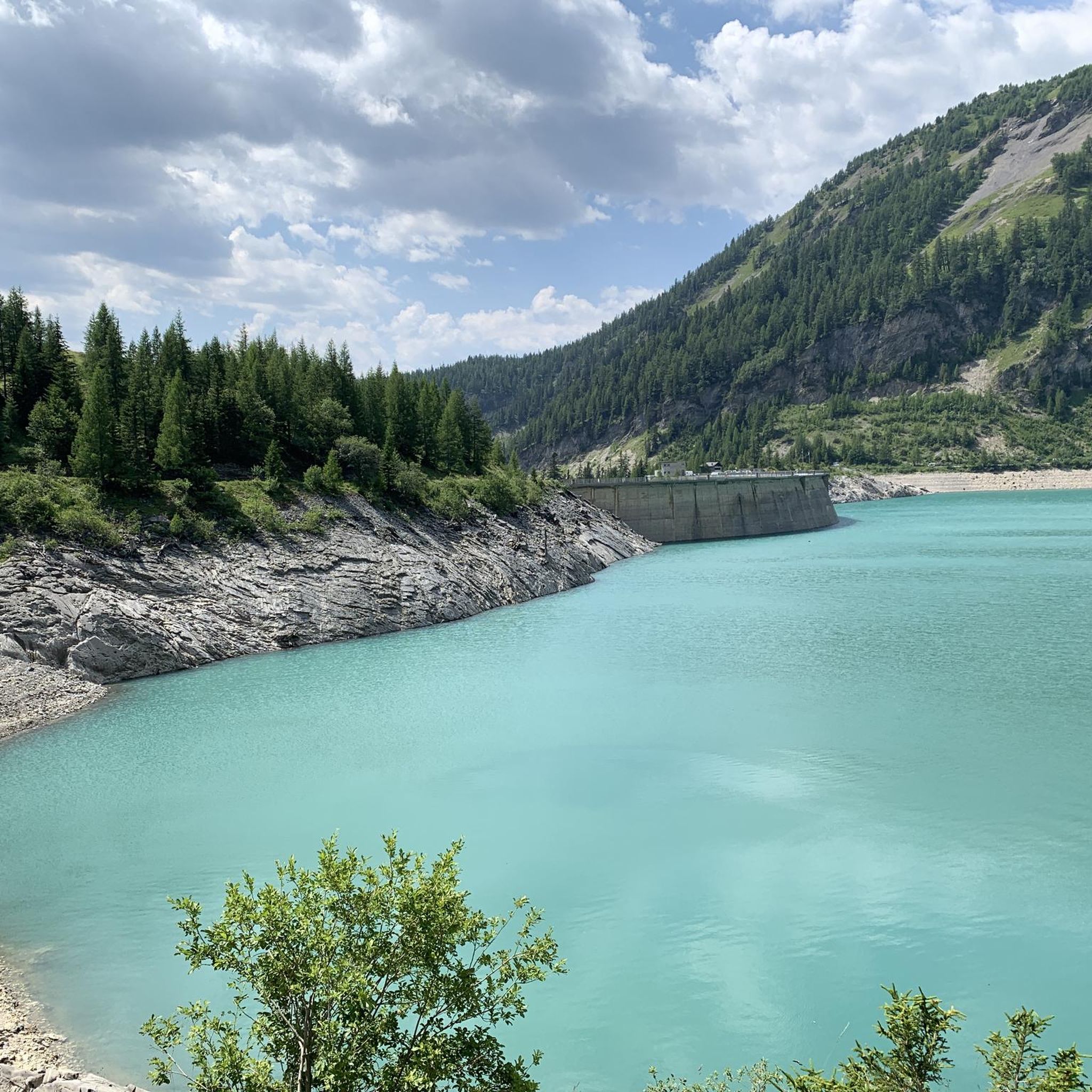
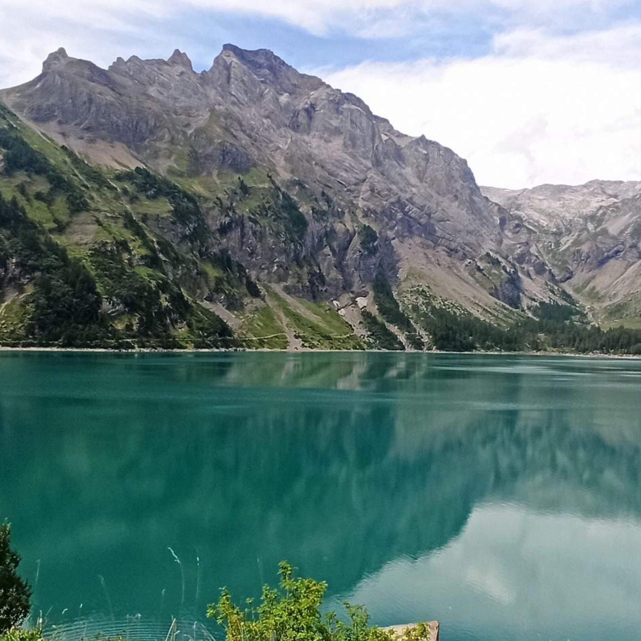
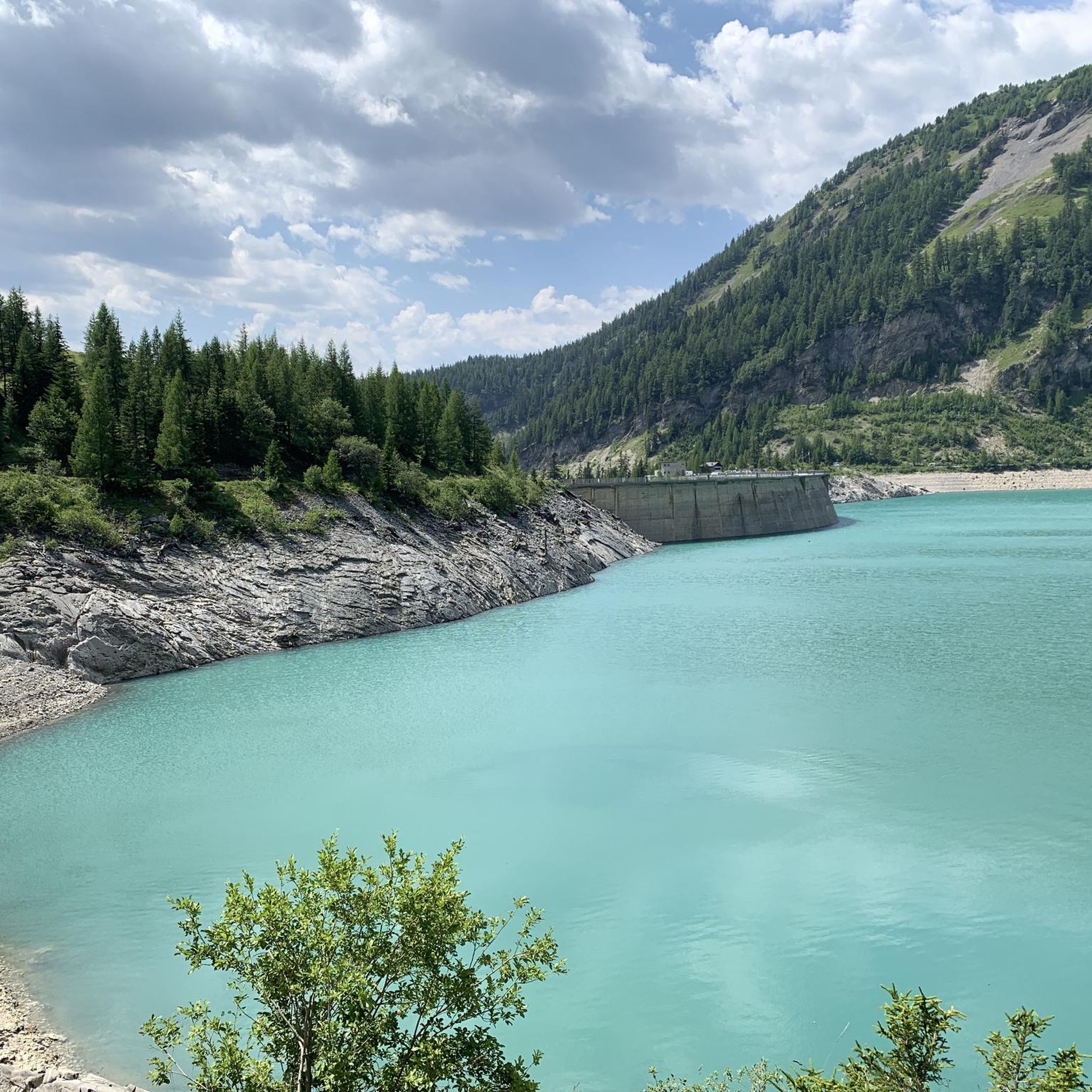
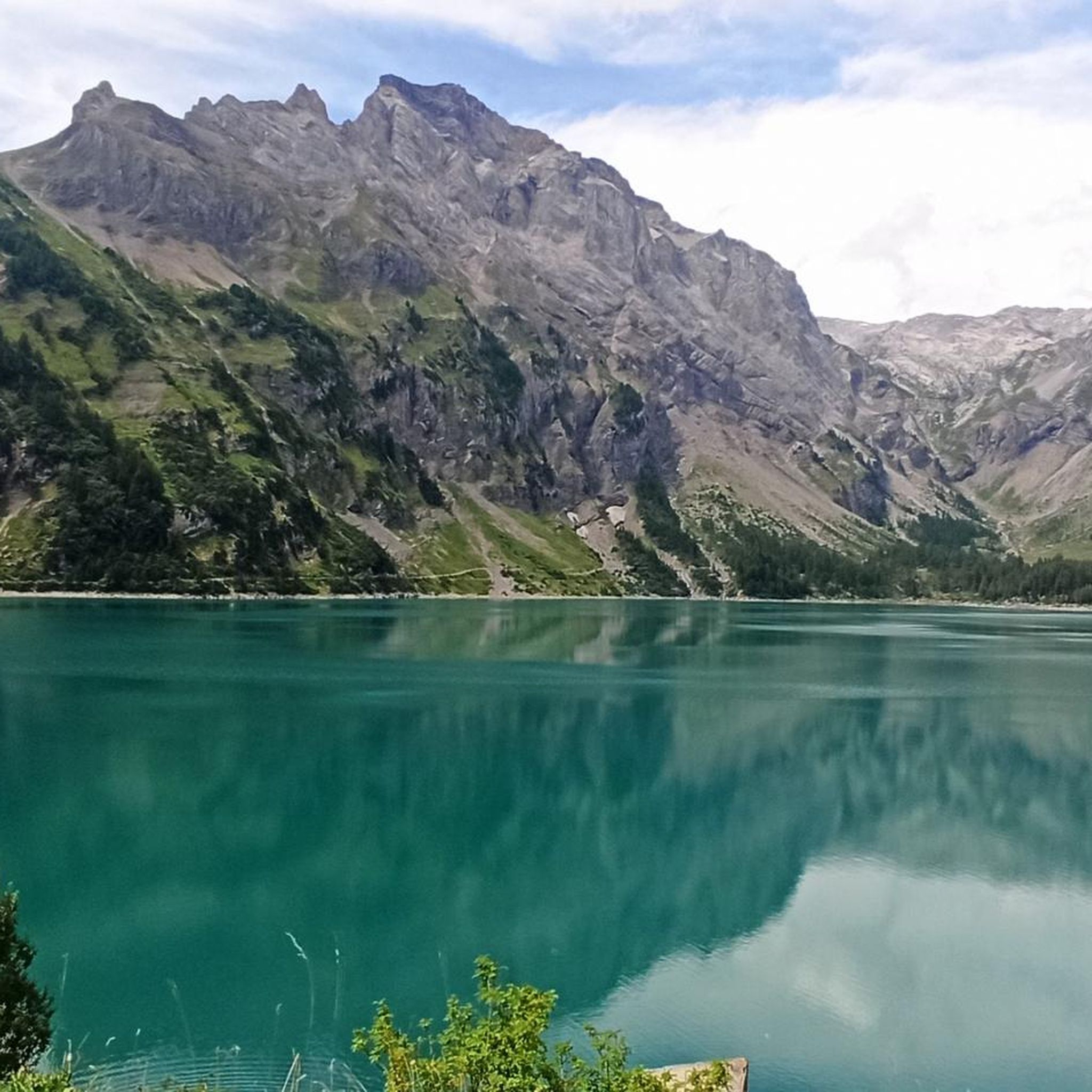
Mountaineering around Lac de Tseuzier, situated at 1777 meters above sea level in the canton of Valais, Switzerland, offers diverse alpine terrain. The region is characterized by the emerald-blue artificial lake formed by the Rawyl Dam, surrounded by forests, alpine pastures, and towering mountains. Mountaineering routes here feature varied landscapes, including lush meadows, streams, and rock-cut passages, with distant views of 4000-meter peaks like the Zinal-Rothorn and Weisshorn. The area provides access to challenging ascents and historic bisses, making it suitable for experienced mountaineers.
Best mountaineering routes around Lac de Tseuzier
- The most popular mountaineering route is Restaurant Iffigenalp – Rohrbachstein Summit loop from Col du Rawyl, a 9.6 miles (15.5 km) trail that takes 8 hours 50 minutes to complete. This challenging route features significant elevation gain towards the Rohrbachstein Summit.
- Another top favourite among local mountaineers is Plaine Morte Peak – Col de Torrent Ladder Section loop from Bellalui, a difficult 9.2 miles (14.9 km) path. This route traverses varied alpine terrain, including a ladder section, offering panoramic views.
- Local mountaineers also love the Fluehseeli – Wildstrubel Summit loop from Flueseeli, a 5.3 miles (8.5 km) trail leading through high alpine landscapes, often completed in about 6 hours 12 minutes.
- Mountaineering around Lac de Tseuzier is defined by alpine pastures, dense forests, and rocky ascents, with views of distant 4000-meter peaks. The network offers options for different ability levels, including 7 difficult routes.
- The routes in Lac de Tseuzier are highly rated by the komoot community with an average score of 5.0 stars from over 4 reviews. More than 40 mountaineers have used komoot to explore Lac de Tseuzier's varied terrain.
Last updated: July 11, 2026
5.0
(1)
4
hikers
14.9km
06:06
850m
850m
Hard mountaineering route. Very good fitness required. Mostly accessible paths. Sure-footedness required.
5.0
(3)
5
hikers
5.86km
01:53
130m
130m
Hard mountaineering route. Great for any fitness level. Sure-footedness, sturdy shoes and alpine experience required.

Sign up for free
10
hikers
15.5km
08:50
1,390m
1,390m
Hard mountaineering route. Very good fitness required. Sure-footedness, sturdy shoes and alpine experience required.
12
hikers
12.2km
05:17
740m
740m
Hard mountaineering route. Very good fitness required. Mostly accessible paths. Sure-footedness required.
7
hikers
8.45km
06:11
1,140m
1,140m
Hard mountaineering route. Very good fitness required. Sure-footedness, sturdy shoes and alpine experience required.
Get access to more routes and recommendations from other explorers.
Sign up for free
Already have an account?
Our route recommendations are based on thousands of hikes, rides, and runs completed by other people on komoot.
Start today with a free account
Your next adventure awaits.
Login or Signup
Other adventures around Lac de Tseuzier

Tips from the Community

very pretty here, very pretty
0
0


Stable ladder that takes you to the bottom of the crevice (or vice versa).
0
0
360 degree view and view of the Tothorn Glacier.
0
0


Very nice, well-kept hut, friendly hut owner
0
0
Frequently Asked Questions
How many mountaineering routes are available around Lac de Tseuzier?
There are 9 mountaineering routes around Lac de Tseuzier. Most of these, 7 to be exact, are classified as difficult, while 2 are moderate, offering a range of challenges for different skill levels.
What kind of terrain can I expect on mountaineering routes near Lac de Tseuzier?
The terrain around Lac de Tseuzier is incredibly varied. You'll encounter lush alpine meadows, fragrant forests, and numerous waterfalls and streams. As you gain altitude, the landscape becomes progressively wilder, more wooded, and rockier, with some trails even leading through tunnels and rock-cut passages. Distant views of 4000-meter peaks like the Zinal-Rothorn and Weisshorn are common.
Are there any circular mountaineering routes in the area?
Yes, several routes offer a circular experience. For example, the Restaurant Iffigenalp – Rohrbachstein Summit loop from Col du Rawyl is a challenging 9.6-mile loop that takes you to the Rohrbachstein Summit. Another option is the Plaine Morte Peak – Col de Torrent Ladder Section loop from Bellalui, which is a difficult 9.2-mile path featuring varied alpine terrain and panoramic views.
What are some notable natural features or landmarks to look out for on these routes?
Beyond the picturesque emerald-blue Lac de Tseuzier itself and the impressive Rawyl Dam, you can explore historic irrigation channels known as 'bisses,' such as the Bisse de Sion and the Grand Bisse d'Ayent. The region also offers spectacular panoramic views of distant 4000-meter peaks like the Zinal-Rothorn, Dent Blanche, and Weisshorn, with the imposing Col de Rawyl mountain range forming a dramatic backdrop.
What is the best time of year for mountaineering around Lac de Tseuzier?
The best time for mountaineering around Lac de Tseuzier is typically during the warmer months when trails are clear of snow and weather conditions are more stable. The region is situated at 1777 meters above sea level, so it's essential to check local weather forecasts and trail conditions, especially for higher altitude routes, as snow can persist into early summer and return in late autumn.
Are there any family-friendly mountaineering options near Lac de Tseuzier?
While many routes are challenging, the varied terrain means there are options for different ability levels. For families, it's best to look for shorter, less strenuous paths, perhaps focusing on the areas closer to the lake and its alpine pastures. Always ensure the chosen route matches the fitness and experience level of all family members, as even moderate routes can involve significant elevation changes.
What do other mountaineers enjoy most about the routes around Lac de Tseuzier?
The komoot community highly rates the mountaineering routes around Lac de Tseuzier, with an average score of 5.0 stars. Mountaineers often praise the diverse alpine landscapes, the stunning views of 4000-meter peaks, and the challenging nature of the trails, which provide a true alpine experience.
Are there any places to rest or stay overnight near the trails?
Yes, near the lake, the 'Gîte Lourantze' offers a unique overnight experience in the alpine pastures of Rawyl, featuring a tipi and dormitory. Additionally, the Restaurant du Barrage de Zeuzier near the Rawyl Dam provides a convenient spot for refreshment before or after your mountaineering adventure.
What is the difficulty level of the route to the Wildstrubel Summit?
The Fluehseeli – Wildstrubel Summit loop from Flueseeli is classified as a difficult mountaineering route. It's 5.3 miles (8.5 km) long and involves significant elevation gain, typically taking around 6 hours and 12 minutes to complete. This route leads through high alpine landscapes and requires very good fitness and alpine experience.
Is public transport available to reach the starting points of these routes?
While the region is known for its natural beauty, specific public transport connections directly to all mountaineering trailheads can vary. It's advisable to research local bus services or shuttle options from nearby towns like Anzère or Sion to the Lac de Tseuzier area. Parking is generally available, but checking for any fees or restrictions beforehand is recommended.
Are there any routes that include a mountain hut for a break or overnight stay?
Yes, the Restaurant Iffigenalp – Wildhornhütte SAC loop from Col du Rawyl is a difficult 7.6-mile (12.2 km) route that includes the Wildhornhütte SAC. This provides an opportunity for a break or an overnight stay, making it suitable for longer, multi-day mountaineering experiences in the area.
What are the typical elevation gains on the more challenging routes?
The more challenging mountaineering routes around Lac de Tseuzier often feature significant elevation gains. For instance, the Restaurant Iffigenalp – Rohrbachstein Summit loop from Col du Rawyl has an elevation gain of approximately 1389 meters (over 4500 feet). These routes demand very good fitness and sturdy shoes.
Most popular routes around Lac de Tseuzier
Most popular attractions around Lac de Tseuzier

Get inspired with the komoot mobile app


Explore more
Browse the best Mountain Hikes & Routes in other regions.
