Easy hikes and walks around Landschaftspark Binntal
4.6
(7136)
48,349
hikers
141
hikes
Easy hiking trails around Landschaftspark Binntal traverse a diverse alpine landscape in southwestern Switzerland. The region is characterized by deep valleys, rugged mountains, and crystal-clear lakes, set within the Lepontine Alps. Hikers will find lush alpine meadows, branching mountain streams, and areas rich in unique geological features. The park offers a network of marked trails suitable for various abilities, with a focus on easy routes for accessible exploration.
Best easy hiking trails around Landschaftspark Binntal
- The most popular easy hiking…
Last updated: September 25, 2026
4.5
(23)
139
hikers
5.14km
01:27
110m
110m
Easy hike. Great for any fitness level. Easily-accessible paths. Suitable for all skill levels.
4.6
(14)
99
hikers
5.81km
01:39
130m
130m
Easy hike. Great for any fitness level. Easily-accessible paths. Suitable for all skill levels.

4.8
(10)
79
hikers
5.58km
01:34
110m
110m
Easy hike. Great for any fitness level. Easily-accessible paths. Suitable for all skill levels.
4.3
(9)
56
hikers
Easy hike. Great for any fitness level. Easily-accessible paths. Suitable for all skill levels.
3.8
(5)
35
hikers
3.37km
01:09
180m
180m
Easy hike. Great for any fitness level. Easily-accessible paths. Suitable for all skill levels.
Get access to more routes and recommendations from other explorers.
Already have an account?
Our route recommendations are based on thousands of hikes, rides, and runs completed by other people on komoot.
Start today with a free account
Your next adventure awaits.
Popular around Landschaftspark Binntal

Alpine Passes Trail – hiking 700km across Switzerland

Alpine Passes Trail in Switzerland – 34 stages of pure mountain fun
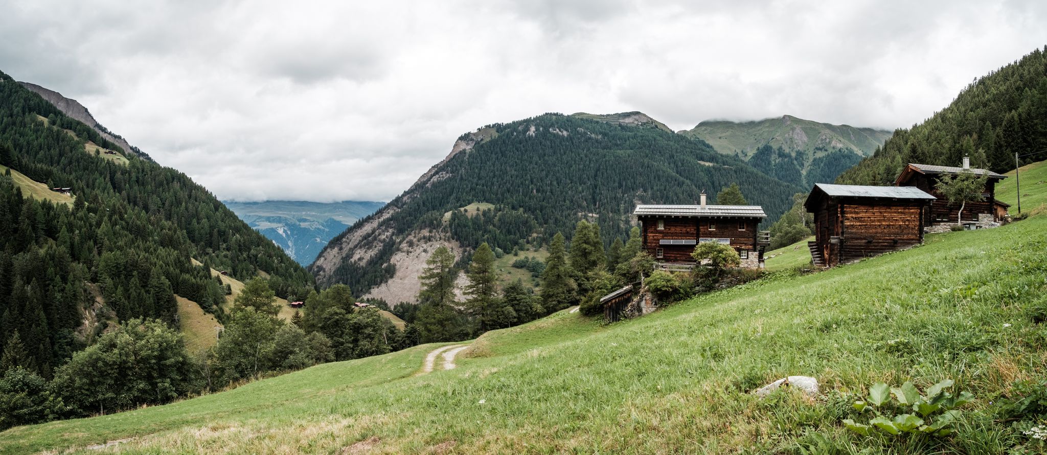
On mule tracks from Binntal to Italy
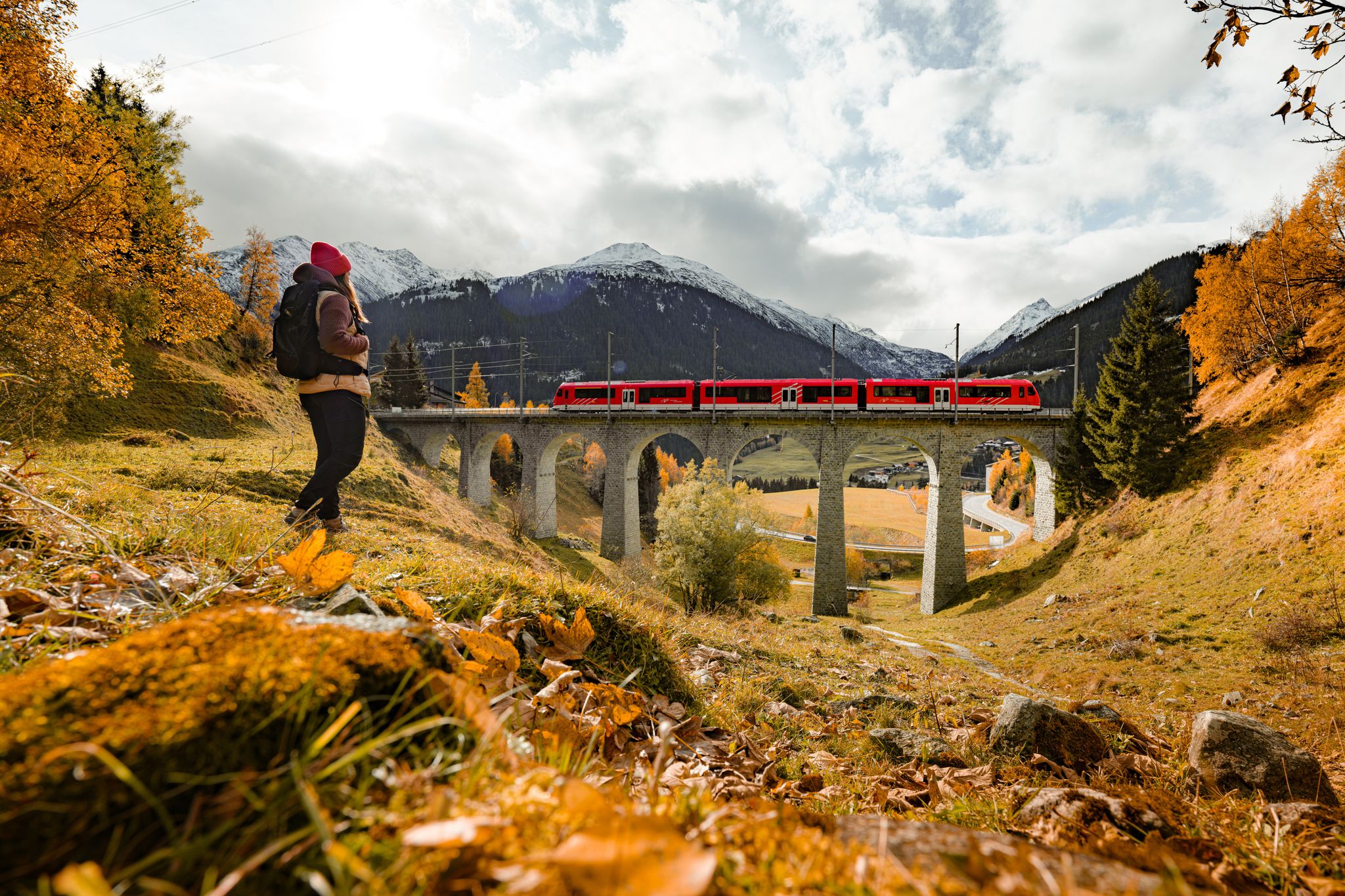
Fantastic hiking through the Alps with the Matterhorn Gotthard Railway

Thrills and adventure on the Stoneman Glaciara
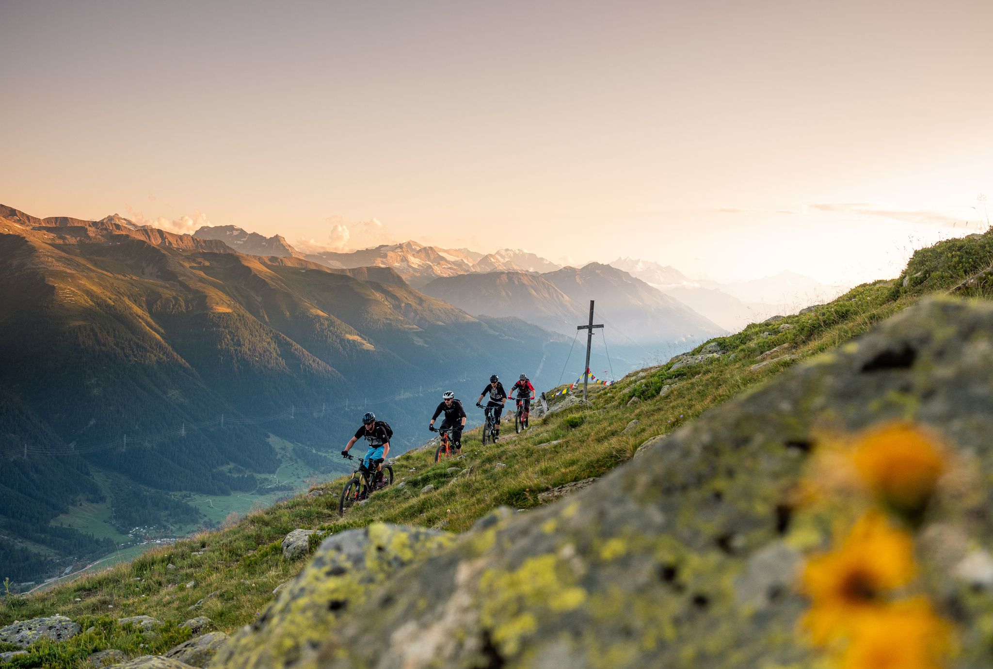
Rugged trails, spectacular views: trail adventures in the high valley of Goms
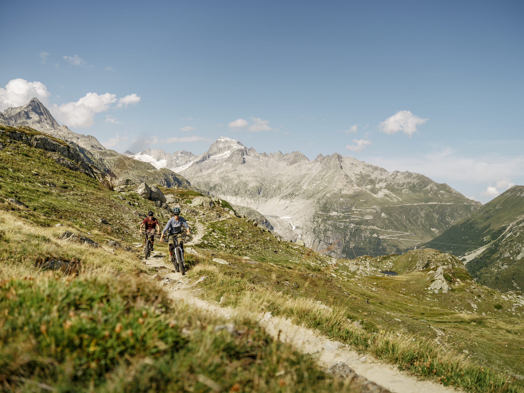
MTB adventures in the Upper Valais – Valais Panorama Bike Switzerland

Magic from Ice and Stone – The Stoneman Glaciara
Other adventures around Landschaftspark Binntal


Tips from the Community

The deposits give this waterfall that certain extra, simply great to look at
0
0
The gorge is breathtakingly beautiful and a highlight. There are plenty of viewpoints for both bikers and hikers. You should plan a short break at the ZeBinnen reservoir in Stbji and try the lemon cake, Mega🙌
0
0

pretty here, very pretty
0
0

Unfortunately, nothing of the installation remains, except for the pretty waterfall
0
0

Here, you can admire old wooden water pipes. These were once used to irrigate fields. Chännla is the local name for them, and the word probably comes from Känel, or canal.
0
0

Frequently Asked Questions
How many easy hiking trails are there in Landschaftspark Binntal?
Landschaftspark Binntal offers a good selection of easy hiking trails, with approximately 29 routes specifically categorized as easy. In total, the park features over 140 marked hiking trails across various difficulty levels.
What is the best time of year for easy hikes in Landschaftspark Binntal?
The ideal time for easy hikes in Landschaftspark Binntal is typically during the summer months, from June to September. During this period, the weather is mild, and trails are generally easily accessible, allowing you to enjoy the lush alpine meadows and clear waterways.
Are there any easy circular hikes in Landschaftspark Binntal?
Yes, there are several easy circular routes. For example, the Mühlebach – Goms Bridge loop from Ernen is a popular 5.1 km circular trail offering views of the Goms Bridge. Another option is the Fäld – Binn Village loop from Binn, which connects the picturesque hamlet of Fäld with the traditional village of Binn.
Are there easy hikes suitable for families with children?
Yes, Landschaftspark Binntal has family-friendly options. The Mühlebach – Goms Bridge loop from Ernen is an easy trail that passes through local villages, making it suitable for families. The region also features the Mäderbächli Loop, known for its beautiful waterfalls and diverse flora, which is considered an easy, family-friendly trail.
Can I find easy hikes with waterfalls in the area?
Absolutely. The Schräjendbach Waterfall – Twingi Gorge loop from Binntal Nature Park is an easy 5.6 km trail that leads through the dramatic Twingi Gorge and features the Schräjendbach Waterfall. The Mäderbächli Loop is also noted for its beautiful waterfalls.
What kind of natural attractions can I see on easy hikes?
On easy hikes, you can experience the park's diverse natural beauty. You'll encounter lush alpine meadows, crystal-clear mountain streams, and unique geological formations. Keep an eye out for rare plant species like alpine roses and the Grengjer tulip. Some trails offer views of idyllic bodies of water such as Lake Schapler or the dramatic Twingi Gorge.
Are there any easy hikes where I can find a cafe or refreshment stop?
Yes, you can combine your hike with a refreshment stop. The Village Square Ernen – Café Hängebrigga loop from Ernen is an easy 4.4 km route that specifically includes a cafe, allowing for a pleasant break during your walk.
What do other hikers say about the easy trails in Landschaftspark Binntal?
The easy trails in Landschaftspark Binntal are highly regarded by the komoot community, with an average rating of 4.7 stars from over 900 reviews. Hikers often praise the well-maintained paths, the stunning alpine scenery, and the peaceful atmosphere of the region.
Are there any unique geological features to explore on easy trails?
Landschaftspark Binntal is known as the 'Valley of Hidden Treasures' due to its rich mineral deposits. While many mineral sites require more challenging access, some easy routes, like the Imfeld–Mässersee–Binn trail, incorporate geological themes and offer opportunities to learn about the area's unique heritage. You might even find fool's gold (pyrite) or clear rock quartz in certain areas.
What are the typical lengths and durations of easy hikes in Landschaftspark Binntal?
Easy hikes in Landschaftspark Binntal typically range from 4 to 6 kilometers in length. Most can be completed within 1 hour 10 minutes to 1 hour 40 minutes, making them perfect for a leisurely outing. For example, the Mühlebach – Goms Bridge loop from Ernen is 5.1 km and takes about 1 hour 27 minutes.
How can I reach the easy hiking trails using public transport?
Landschaftspark Binntal is accessible by public transport, though specific routes may require local bus services. Villages like Binn and Ernen, which serve as starting points for several easy trails, are connected to the regional public transport network. It's advisable to check local bus schedules for direct access to trailheads.
Are there any easy hikes that offer views of prominent mountain peaks?
While many easy hikes focus on valley floors and meadows, some routes offer glimpses of the surrounding majestic mountains. For instance, the area around Lake Schapler, accessible via panoramic hikes, provides views of peaks like the Breithorn and Eggerhorn. The dramatic alpine setting ensures that mountain vistas are often part of the backdrop.
Most popular routes around Landschaftspark Binntal
Most popular attractions around Landschaftspark Binntal

Get inspired with the komoot mobile app


Explore more
Browse the best Hikes in other regions.
