Easy hikes and walks in the Kaibab Plateau
4.7
(2776)
31,778
hikers
79
hikes
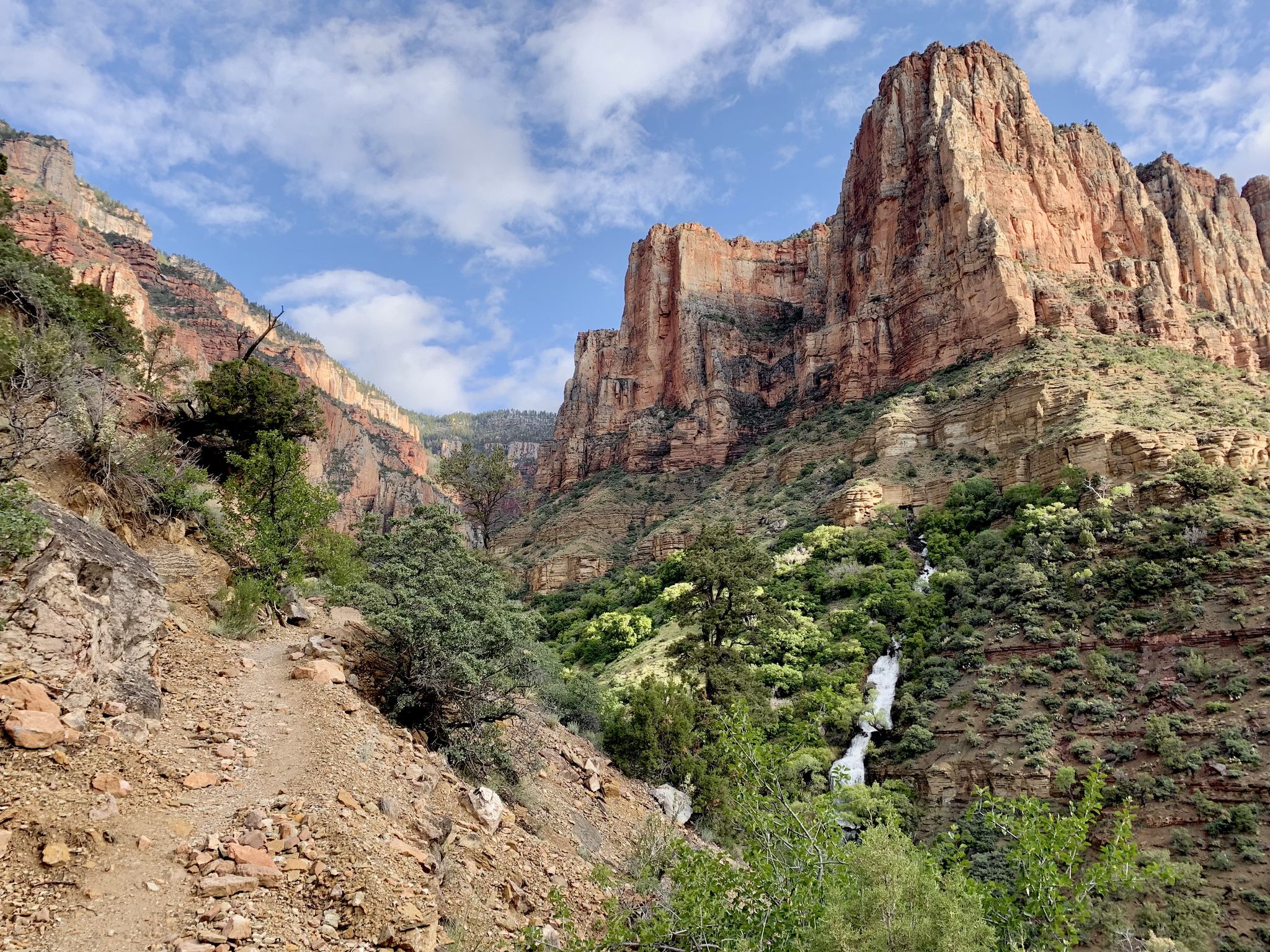
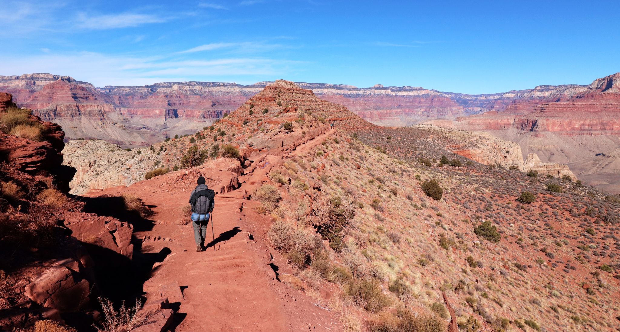
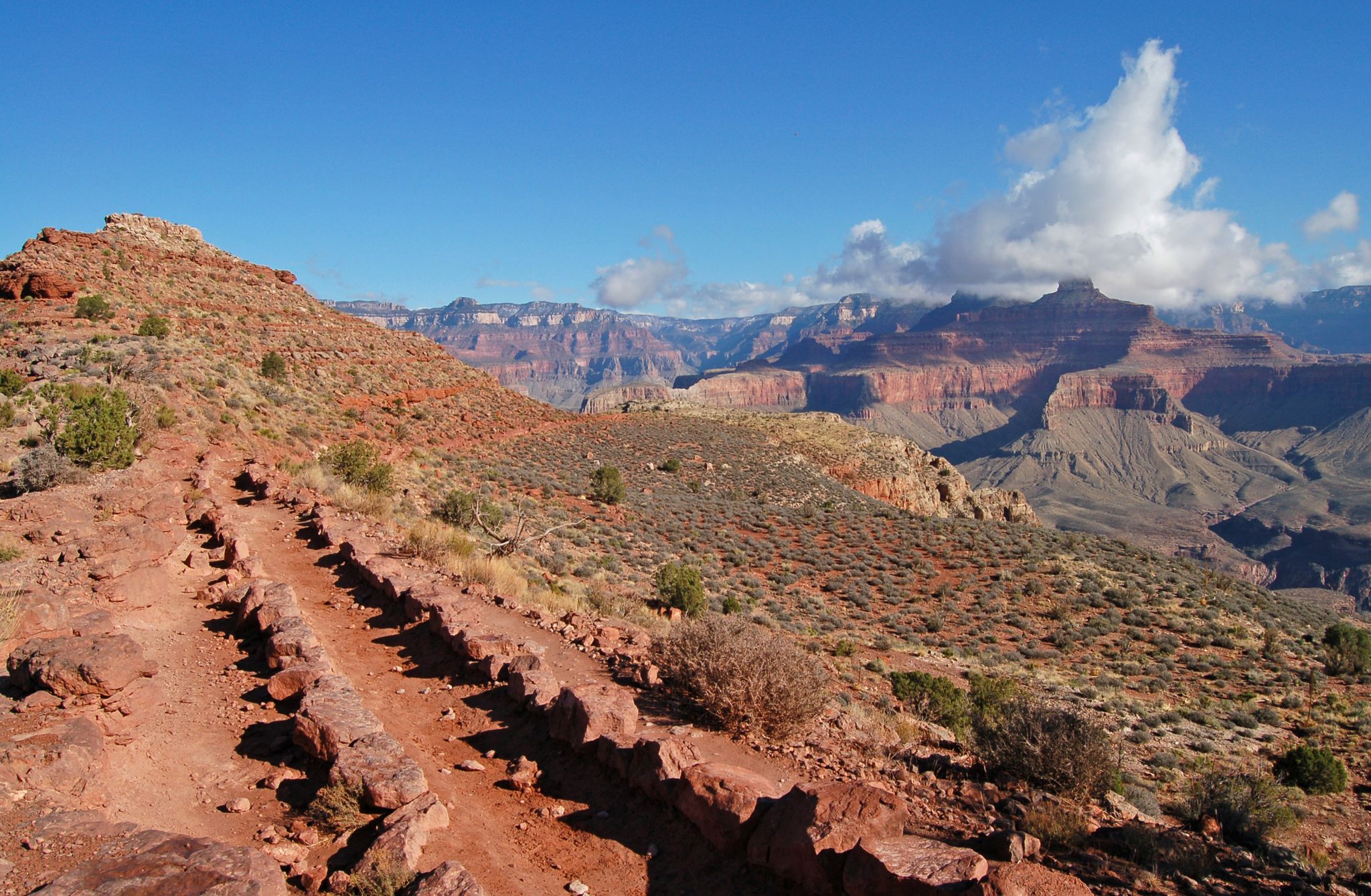
Hiking in the Kaibab Plateau offers diverse landscapes, ranging from 3,000 to 9,200 feet in elevation. The region is characterized by extensive forests of ponderosa pine, pinyon-juniper woodlands, spruce-fir, and aspen groves, interspersed with sub-alpine meadows. Geological features include Permian sandstone formations and limestone outcrops. The plateau provides panoramic views of the Grand Canyon's North Rim and its surrounding wilderness areas.
Best easy hiking trails in the Kaibab Plateau
- The most popular easy hiking route is Cape Final Trail,…
Last updated: October 10, 2026
5
hikers
3.51km
01:00
110m
20m
Easy hike. Great for any fitness level. Easily-accessible paths. Suitable for all skill levels.
4.18km
01:27
40m
530m
Easy hike. Great for any fitness level. Easily-accessible paths. Suitable for all skill levels.

4.94km
01:21
80m
60m
Easy hike. Great for any fitness level. Easily-accessible paths. Suitable for all skill levels.
1.04km
00:16
0m
0m
Easy hike. Great for any fitness level. Easily-accessible paths. Suitable for all skill levels.
4.8
(13)
117
hikers
6.57km
01:52
140m
140m
Easy hike. Great for any fitness level. Easily-accessible paths. Suitable for all skill levels.
5.0
(3)
68
hikers
6.61km
01:50
110m
110m
Easy hike. Great for any fitness level. Easily-accessible paths. Suitable for all skill levels.
5.0
(5)
116
hikers
1.60km
00:28
40m
40m
Easy hike. Great for any fitness level. Easily-accessible paths. Suitable for all skill levels.
1
hikers
4.41km
01:29
220m
220m
Easy hike. Great for any fitness level. Easily-accessible paths. Suitable for all skill levels.
2
hikers
2.28km
00:38
40m
40m
Easy hike. Great for any fitness level. Easily-accessible paths. Suitable for all skill levels.
2
hikers
4.59km
01:17
90m
90m
Easy hike. Great for any fitness level. Easily-accessible paths. Suitable for all skill levels.
Get access to more routes and recommendations from other explorers.
Already have an account?
Our route recommendations are based on thousands of hikes, rides, and runs completed by other people on komoot.
Start today with a free account
Your next adventure awaits.


Other adventures in the Kaibab Plateau


Tips from the Community

Fires closed many of the trails and two days later the area was completely closed for the remainder of the season due to the fires.
0
0

The North Rim opens to tourist traffic on May 15 each year. Until then, the highway is quiet and the entrance station is still closed. Once the season has started, you have to pay the park entrance fee here. You can find the current fees here: nps.gov/grca/planyourvisit/fees.htm
0
0

Approachable from Forest Service Road 271, Timp Point could function as a start and end point for a loop ride, and it provides the southern-most viewpoint along Rainbow Rim. The Grand Canyon at this point presents a more vegetated landscape than many may be familiar with in other more well-known locations.
0
0
North Timp Point features a direct view of Steamboat Mountain and into the Grand Canyon looking west. You might choose this point for a snack and a quick rest depending on your itinerary. One of the best viewpoints on Rainbow Rim.
0
0
The North Rim opens to tourist traffic on May 15 each year. Until then, the highway is quiet and the entrance station is still closed. Once the season has started, you have to pay the park entrance fee here. You can find the current fees here: nps.gov/grca/planyourvisit/fees.htm
0
0

Making a photo will be epic for the rest of your life.
1
0
North Timp Point features a direct view of Steamboat Mountain and into the Grand Canyon looking west. You might choose this point for a snack and a quick rest depending on your itinerary. One of the best viewpoints on Rainbow Rim.
0
0
You can approach Saddle Mountain either from the east or the north. Either way, the Nankoweap Trail offers some spectacular views into the Grand Canyon. If you are in for a multiday adventure, you can hike all the way down to the Colorado River and visit the ancient granaries.
1
0
Frequently Asked Questions
How many easy hiking trails are available in the Kaibab Plateau?
The Kaibab Plateau offers a wide selection of easy hiking trails, with 35 routes specifically categorized as easy. These trails allow you to explore the diverse landscapes, from ponderosa pine forests to sub-alpine meadows, at a comfortable pace.
What do other hikers enjoy most about the easy trails in the Kaibab Plateau?
The easy trails in the Kaibab Plateau are highly rated by the komoot community, with an average score of 4.7 stars from over 400 reviews. Hikers frequently praise the stunning Grand Canyon views, the peaceful forest environments, and the well-maintained paths that make for an enjoyable outdoor experience.
Are there any easy loop trails in the Kaibab Plateau?
Yes, for those who prefer circular routes, the Kaibab Plateau has options like the Transept and Bridle Trail Loop. This easy trail offers a pleasant walk through the area's characteristic forests.
What are some family-friendly easy hikes in the Kaibab Plateau?
Many easy trails are suitable for families. A great option is the Jacob Lake Trail, a short 0.6-mile walk through ponderosa pines and aspen groves, perfect for a quick and enjoyable outing with children. The Cape Royal Trail is another easy option with rewarding views.
Can I bring my dog on the easy hiking trails?
Many trails in the Kaibab Plateau, especially those within the Kaibab National Forest, are dog-friendly. However, regulations can vary, particularly near the Grand Canyon National Park. Always check specific trail rules and ensure your dog is on a leash to protect wildlife and other hikers.
What is the best time of year for easy hiking in the Kaibab Plateau?
The Kaibab Plateau offers pleasant hiking conditions from late spring through fall. Summer provides lush, cool environments due to the high elevation, contrasting with the surrounding desert. Fall is particularly popular for viewing vibrant aspen foliage. Winter hiking is possible but requires preparation for snow and colder temperatures.
Are there easy trails with spectacular Grand Canyon views?
Absolutely. The Kaibab Plateau is renowned for its proximity to the Grand Canyon's North Rim. Easy trails like Timp Point to North Timp offer spectacular vistas. The Cape Final Trail also leads to a stunning canyon rim overlook.
What kind of wildlife can I expect to see on easy hikes?
The Kaibab Plateau is rich in wildlife. On easy hikes, you might spot Kaibab squirrels, Kaibab mule deer, and various bird species like Northern Goshawks and turkeys. Keep an eye out for larger animals like cougars and bobcats, though they are more elusive. Deer and even buffalo can sometimes be seen meandering through the area's diverse forests and meadows.
Are there any natural landmarks or points of interest along the easy trails?
Yes, the region is full of interesting natural features. You can find stunning viewpoints like Cedar Ridge, Skeleton Point, and Mohave Point, offering dramatic perspectives of the Grand Canyon. The plateau itself features unique geological formations like the Esplanade, also known as "Sand Rocks," formed by Permian sandstone.
Where can I find parking for easy hiking trails in the Kaibab Plateau?
Parking is generally available at trailheads and popular viewpoints throughout the Kaibab Plateau, especially along the Kaibab Plateau-North Rim Parkway (Arizona State Highway 67). Specific parking information for each trail can often be found on the individual route pages.
Are there any easy trails that are part of the Arizona National Scenic Trail?
Yes, a significant portion of the iconic Arizona National Scenic Trail traverses the Kaibab Plateau. This section is known as the oldest part of the Arizona Trail and offers easy segments through varied environments. You can explore a section of it on the Arizona Trail route.
Most popular routes in the Kaibab Plateau
Most popular attractions in the Kaibab Plateau

Get inspired with the komoot mobile app


Explore more
Browse the best Hikes in other regions.
