The best MTB trails in the Kaibab Plateau
5.0
(2)
56
riders
13
rides
Mountain biking in the Kaibab Plateau offers diverse terrain across a high-elevation environment, reaching up to 9,200 feet. The region is characterized by extensive forests of ponderosa pine, aspen, and spruce-fir, providing shade and varied riding surfaces. This plateau forms the North Rim of the Grand Canyon, offering unique perspectives into the canyon alongside its varied trail systems. Riders can expect a mix of rolling landscapes and sections with significant elevation gains.
Best mountain bike trails in the Kaibab Plateau
…Last updated: October 10, 2026
5.0
(1)
13
riders
38.2km
03:37
610m
600m
Embark on the Rainbow Rim Trail Loop, a moderate mountain biking adventure that takes you along the remote North Rim of the Grand Canyon. This route spans 23.8 miles (38.2…
6
riders
59.7km
05:39
960m
960m
The Rainbow Rim Trail offers a difficult mountain biking adventure, stretching for 37.1 miles (59.7 km) with a significant elevation gain of 3156 feet (962 metres). You can expect to…

1
riders
55.2km
05:20
990m
990m
Prepare for a difficult mountain biking adventure on the Point Sublime Trail, a 34.3-mile (55.2 km) route that climbs 3264 feet (995 metres) and takes around 5 hours and 20…
16.4km
01:33
260m
260m
Embark on an easy mountain biking adventure along the Arizona Trail, a route that winds through a remarkable variety of landscapes. You will pedal 10.2 miles (16.4 km), gaining 838…
32.0km
03:06
580m
580m
This moderate 19.9-mile mountain biking route in Kaibab National Forest offers diverse terrain and scenic highlights like Crane Lake.
25.3km
02:03
310m
310m
Mountain bike the moderate Arizona Trail and North Canyon Loop for 15.7 miles through Kaibab National Forest with Grand Canyon views.
11.5km
01:00
140m
140m
This moderate 7.1-mile mountain biking loop combines the Ceballos Trail with sections of the Arizona Trail in Kaibab National Forest.
58.8km
05:37
1,130m
1,130m
This difficult 36.5-mile mountain biking loop combines sections of the Arizona Trail and Navajo Nation trails, offering varied terrain and s
5.0
(1)
9
riders
29.6km
02:46
450m
450m
Moderate mountain bike ride. Good fitness required. Advanced riding skills necessary.
10
riders
28.7km
02:50
560m
560m
Moderate mountain bike ride. Good fitness required. Suitable for all skill levels.
Get access to more routes and recommendations from other explorers.
Already have an account?
Our route recommendations are based on thousands of hikes, rides, and runs completed by other people on komoot.
Start today with a free account
Your next adventure awaits.
Popular around Kaibab Plateau

Arizona Trail — A beautiful 800-mile struggle

The Arizona Trail — From Mexico to Utah in 43 days
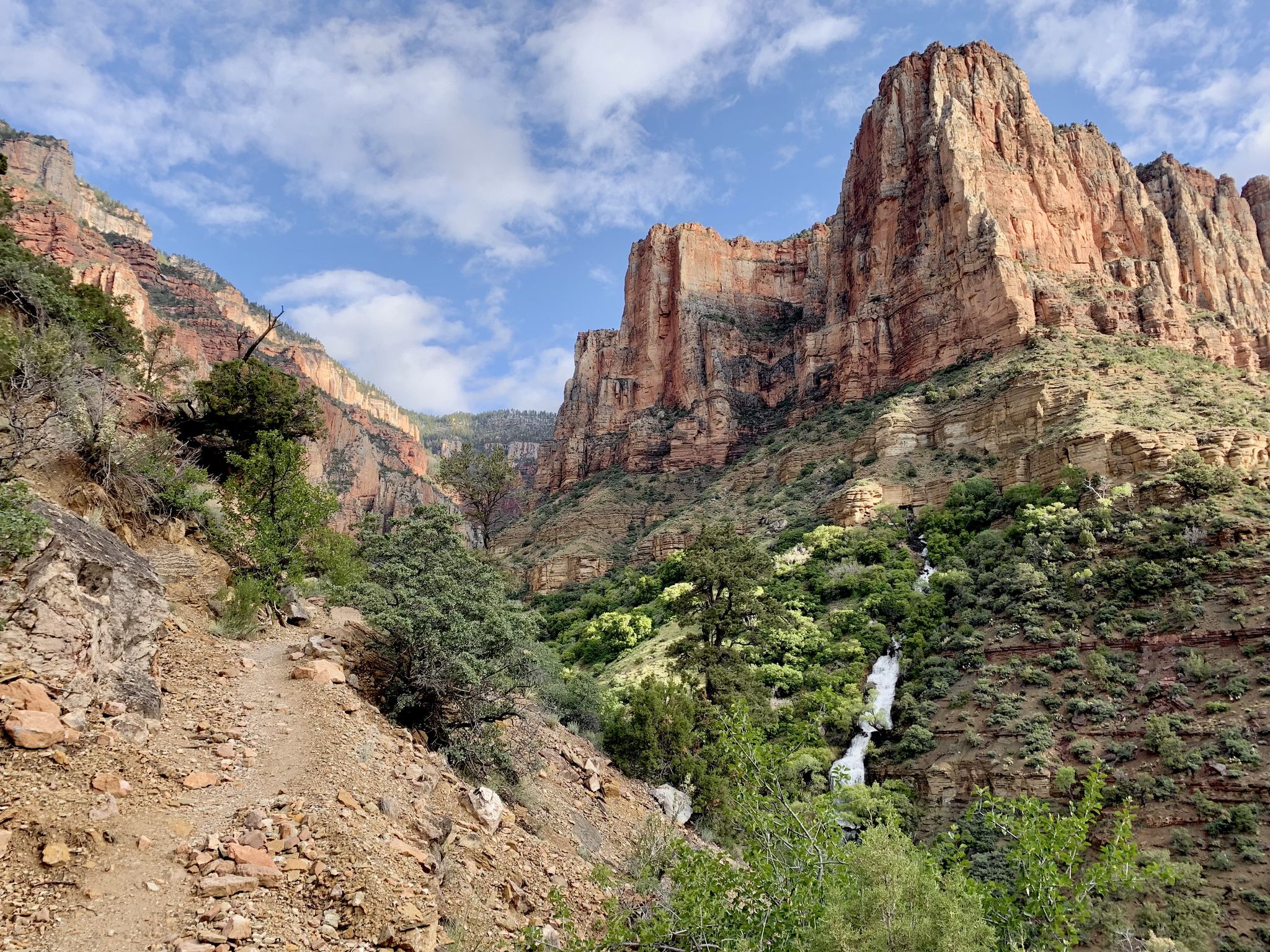
Rim-to-Rim-to-Rim – top to bottom through the Grand Canyon
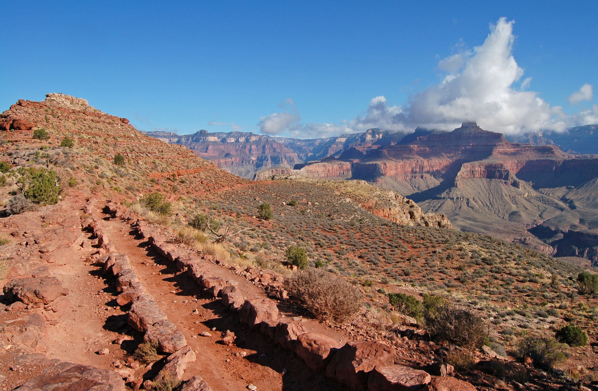
Rim-to-Rim-to-Rim — Fastpacking into the Grand Canyon’s heart
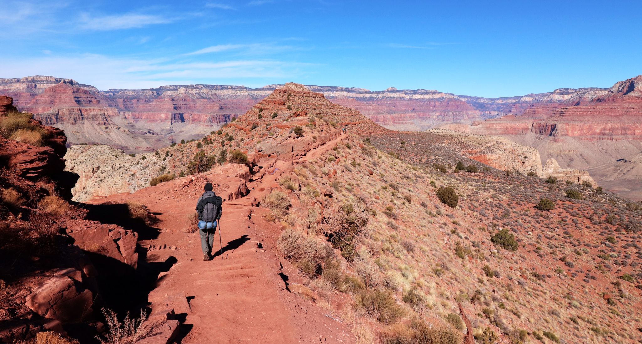
An unforgettable winter hike through the Grand Canyon
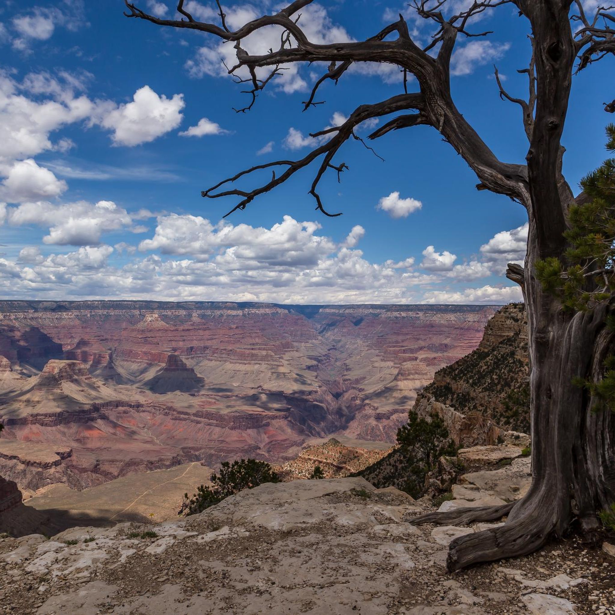
Hiking in the Kaibab Plateau
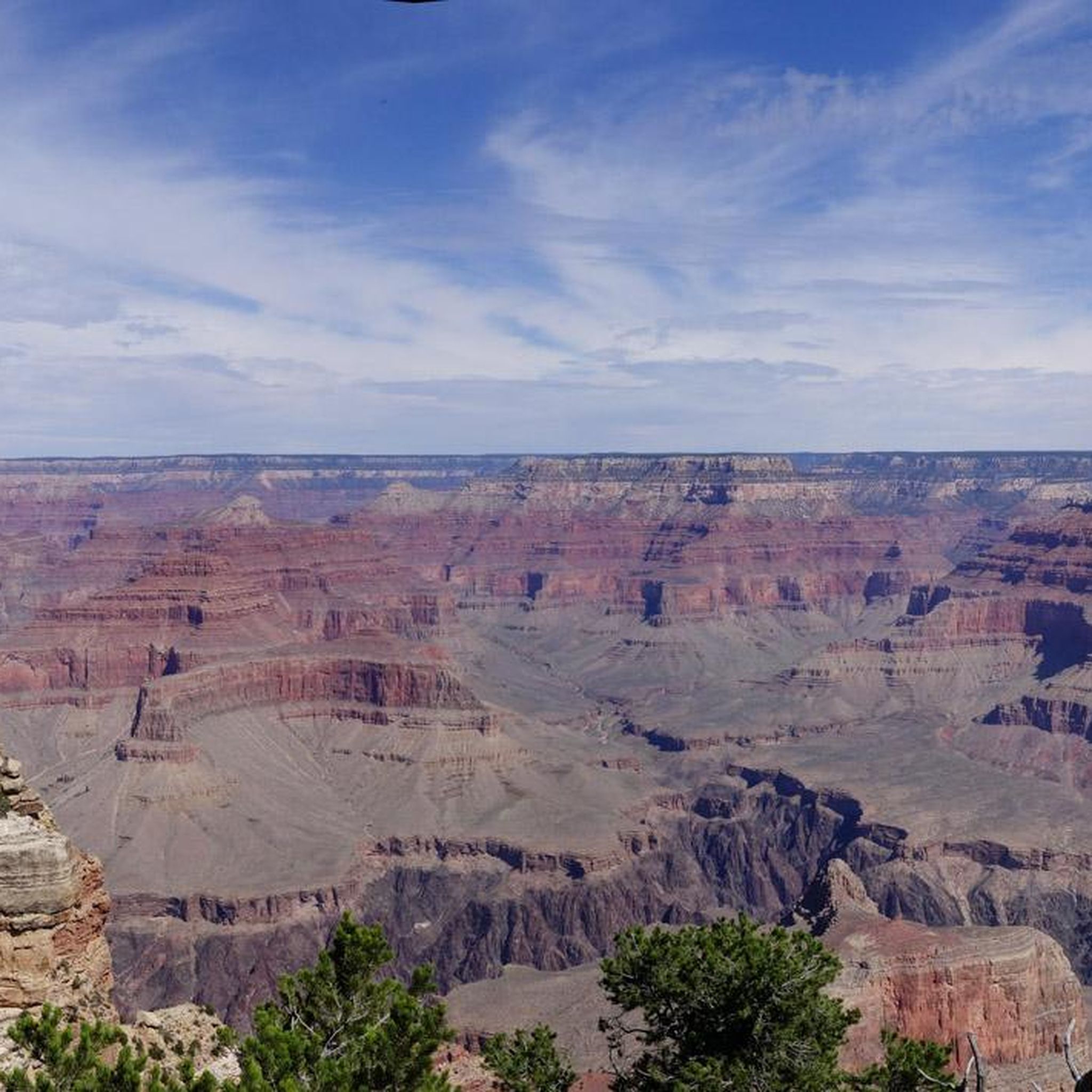
Cycling in the Kaibab Plateau
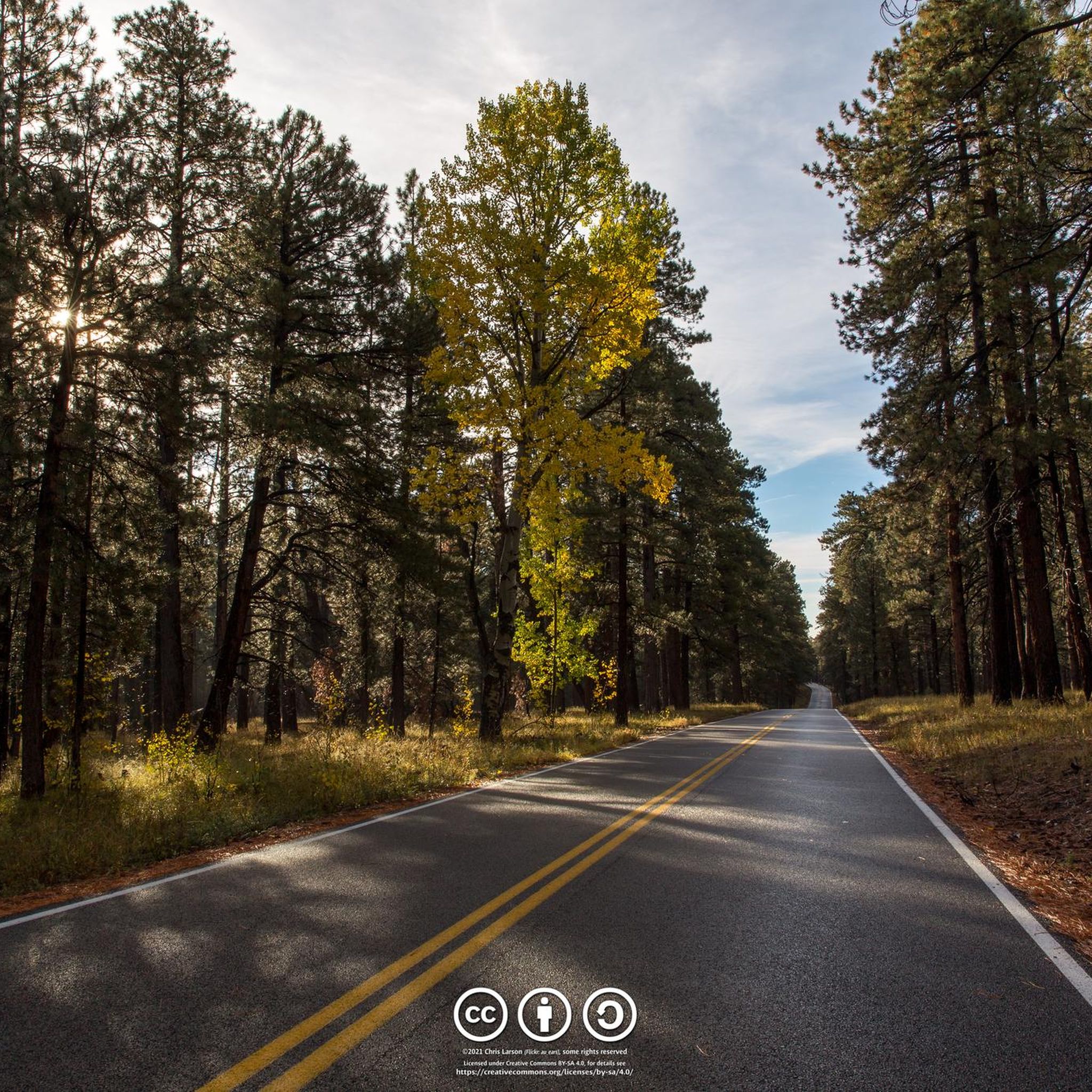
Road Cycling Routes in the Kaibab Plateau
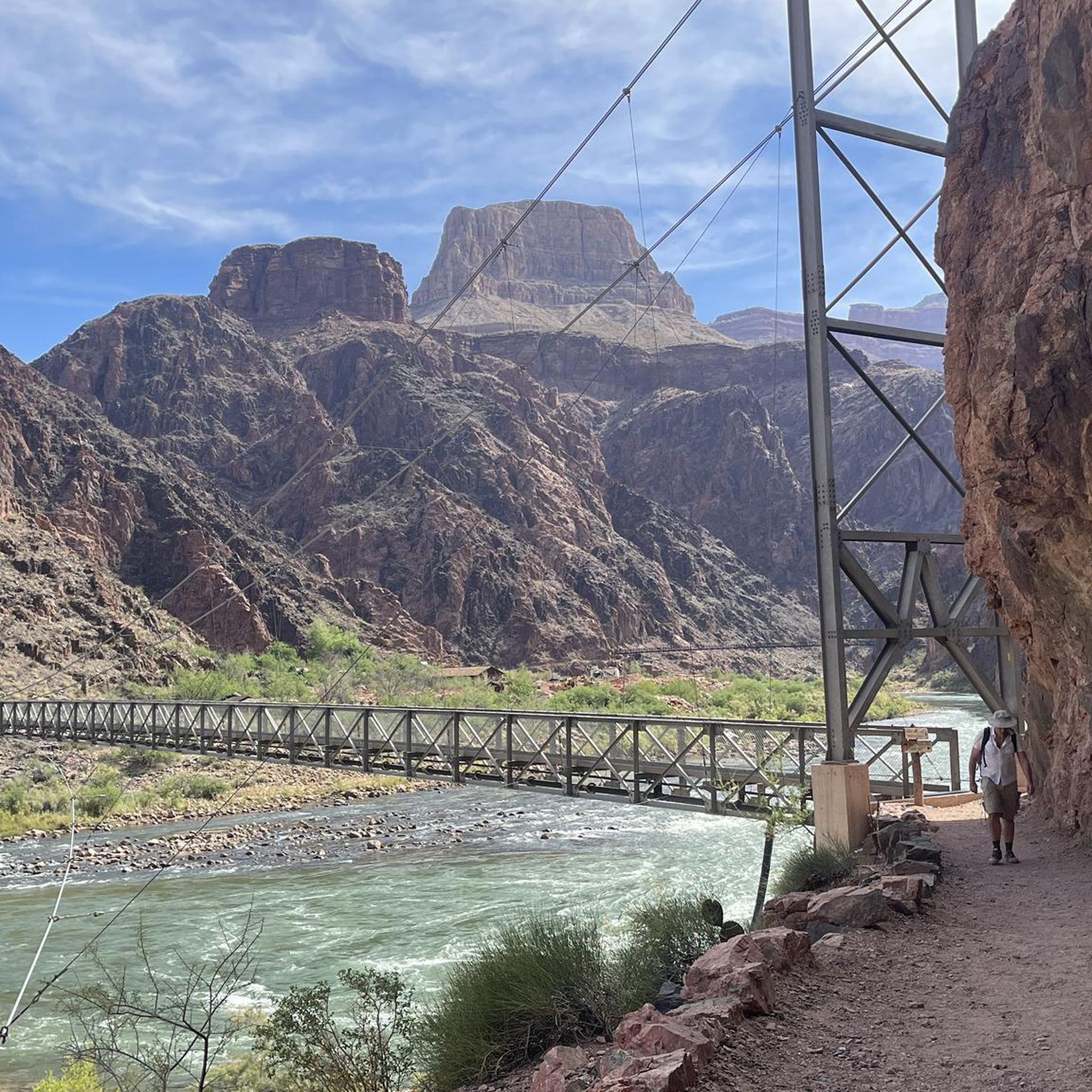
Running Trails in the Kaibab Plateau
Other adventures in the Kaibab Plateau


Tips from the Community

At this overlook, you'll see jaw-dropping views where the Kaibab Plateau plunges into the Grand Canyon's vast expanse. The singletrack here flows through ponderosa pine and aspen groves, with just enough elevation change to keep your legs honest. It's a fantastic spot to stop and take in the remarkable beauty before heading back on the trail.
0
0
Baaj Nwaavjo I'tah Kukveni protects over 900,000 acres of ancestral lands surrounding the Grand Canyon, sacred to 13 tribal nations. Its name—Havasupai and Hopi for "where Indigenous peoples roam" and "our ancestral footprints"—honors deep cultural ties. The monument preserves sacred sites, rare wildlife, and vital watersheds through tribal and federal collaboration. The open plateaus, canyons, and expansive desert views are truly breathtaking.
0
0

Approachable from Forest Service Road 271, Timp Point could function as a start and end point for a loop ride, and it provides the southern-most viewpoint along Rainbow Rim. The Grand Canyon at this point presents a more vegetated landscape than many may be familiar with in other more well-known locations.
0
0
North Timp Point features a direct view of Steamboat Mountain and into the Grand Canyon looking west. You might choose this point for a snack and a quick rest depending on your itinerary. One of the best viewpoints on Rainbow Rim.
0
0
A steep beginning and/or end to a ride, the Navajo Trail climbs (or descends, if you're lucky) the eastern edge of the Kaibab Plateau, effectively traversing eons of geology and present-day climates and ecologies.
0
0
For many riders, Joes Reservoir may simply be a small feature to notice near the junction of the Navajo Trail and the Great Western Trail. And though you should always plan to bring all the water you need whenever possible, Joes Reservoir could be a potential water source, though that will depend on current conditions. As always, riders should educate themselves on water safety precautions and equip themselves properly before entering any rugged terrain where collecting water could be necessary. And practicing with any purifying equipment at home before taking it into the field is always a good idea!
0
0
This segment of the Arizona Trail is approachable for most riders and can provide stunning scenery, though its northern end comes near to the main road into the North Rim area of Grand Canyon National Park.
0
0
Approachable from Forest Service Road 271, Timp Point could function as a start and end point for a loop ride, and it provides the southern-most viewpoint along Rainbow Rim. The Grand Canyon at this point presents a more vegetated landscape than many may be familiar with in other more well-known locations.
0
0
Frequently Asked Questions
What kind of terrain can I expect on mountain bike trails in the Kaibab Plateau?
The Kaibab Plateau offers diverse terrain, from rolling landscapes to sections with significant elevation gains. You'll ride through extensive high-elevation forests of ponderosa pine, aspen, and spruce-fir, providing shade and varied riding surfaces. Interspersed within these forests are beautiful sub-alpine meadows and montane grasslands, adding to the varied scenery.
Are there mountain bike trails suitable for beginners in the Kaibab Plateau?
Yes, there are options for different ability levels. While many trails are moderate to difficult, komoot lists at least one easy mountain bike trail, such as the Arizona Trail, which is 10.2 miles (16.4 km) long with 837 feet (255 m) of elevation gain. This allows less experienced riders to enjoy the forested environment.
What are the typical trail lengths and durations for mountain biking in the Kaibab Plateau?
Trail lengths vary significantly. For instance, the Arizona Trail is about 10.2 miles (16.4 km) and takes around 1 hour 33 minutes, while more challenging routes like the Rainbow Rim Trail can be up to 37.1 miles (59.7 km) and take over 5 hours to complete.
What natural features and scenic points can I see while mountain biking in the Kaibab Plateau?
The Kaibab Plateau is renowned for its high-elevation forests, sub-alpine meadows, and stunning views of the Grand Canyon. Trails like the Rainbow Rim Trail offer numerous overlooks into the Grand Canyon at points like Parissawampitts, Fence, Locust, North Timp, and Timp. You can also spot wildlife such as deer and the endemic Kaibab squirrel. Nearby attractions include viewpoints like Bright Angel Point and Mohave Point.
Are there any loop trails for mountain biking in the Kaibab Plateau?
Yes, several loop trails are available. Examples include the Rainbow Rim Trail Loop, a moderate 23.8 miles (38.2 km) route, and the Navajo and Arizona Trail Loop, a difficult 36.5 miles (58.8 km) path. Another option is the Arizona Trail and Pleasant Valley Loop, which is 19.9 miles (32.0 km).
What is the best time of year to go mountain biking in the Kaibab Plateau?
The Kaibab Plateau, with its high elevation up to 9,200 feet, offers a cooler, forested environment compared to the surrounding arid lowlands. This makes late spring, summer, and early fall ideal for mountain biking, as the temperatures are more moderate and the forests provide ample shade. Autumn also brings vibrant colors from the aspens.
Are there any family-friendly mountain bike trails in the Kaibab Plateau?
While many trails are moderate to difficult, families with some biking experience can find suitable options. The easier sections of the Arizona Trail offer a good starting point for families looking for less challenging rides through the scenic forests.
What do other mountain bikers say about the trails in the Kaibab Plateau?
The mountain bike routes in the Kaibab Plateau are highly rated by the komoot community, with an average score of 5.0 stars from 2 reviews. Over 50 mountain bikers have used komoot to explore the varied terrain, often praising the unique perspectives of the Grand Canyon and the immersive experience within the high-elevation forests.
Where can I find parking for mountain bike trailheads in the Kaibab Plateau?
Specific parking information for individual trailheads is often available on detailed route pages. Given that much of the plateau is within the Kaibab National Forest, designated parking areas are typically provided at popular access points. Jacob Lake, a gateway to the area, also offers amenities and serves as a common starting point.
Are there any challenging mountain bike trails for experienced riders?
Absolutely. The Kaibab Plateau features several difficult trails for advanced riders. The Rainbow Rim Trail, at 37.1 miles (59.7 km) with significant elevation changes, is a prime example. Other challenging options include the Point Sublime Trail and the Navajo and Arizona Trail Loop, both offering demanding rides through varied terrain.
Is public transport available to reach mountain biking areas in the Kaibab Plateau?
Public transport options directly to the remote mountain biking trailheads within the Kaibab Plateau are generally limited. Most visitors typically access the area by private vehicle, especially given the need to transport bikes. Jacob Lake, located at the junction of Highway 67 and Highway 89A, is a primary entry point by road.
What kind of wildlife might I encounter while mountain biking?
The Kaibab Plateau is rich in wildlife. You might spot deer, turkey, cougar, bobcat, and the unique Kaibab squirrel. Wildlife viewing, including deer and occasionally wandering buffalo, is a common experience, especially in the forested and meadow areas.
Most popular routes in the Kaibab Plateau
Most popular attractions in the Kaibab Plateau

Get inspired with the komoot mobile app


Explore more
Browse the best MTB trails in other regions.
