Easy hikes and walks in Burgos
4.5
(1886)
13,819
hikers
1,197
hikes
Easy hiking trails in Burgos traverse a diverse landscape, from the mountainous Sierra de la Demanda with its dense forests to the dramatic river canyons carved by the Ebro and Purón. The region features limestone cliffs, glacial lakes, and notable waterfalls like the Salto del Nervión. These varied terrains offer a range of easy routes suitable for different preferences.
Best easy hiking trails in Burgos
- The most popular easy hiking route is Mataviejas Gorge Trail, a 3.5 miles (5.6…
Last updated: July 7, 2026
4.7
(3)
30
hikers
5.59km
01:28
50m
50m
Easy hike. Great for any fitness level. Easily-accessible paths. Suitable for all skill levels.
4.0
(1)
24
hikers
Easy hike. Great for any fitness level. Easily-accessible paths. Suitable for all skill levels.

Sign up for free
5.0
(1)
6
hikers
5.30km
01:33
150m
150m
Easy hike. Great for any fitness level. Easily-accessible paths. Suitable for all skill levels.
5.0
(2)
11
hikers
6.31km
01:39
50m
50m
Easy hike. Great for any fitness level. Easily-accessible paths. Suitable for all skill levels.
1
hikers
3.44km
00:54
30m
30m
Easy hike. Great for any fitness level. Easily-accessible paths. Suitable for all skill levels.
1
hikers
6.37km
01:47
120m
120m
Easy hike. Great for any fitness level. Easily-accessible paths. Suitable for all skill levels.
5.93km
01:38
100m
110m
Easy hike. Great for any fitness level. Easily-accessible paths. Suitable for all skill levels.
5.21km
01:22
40m
40m
Easy hike. Great for any fitness level. Easily-accessible paths. Suitable for all skill levels.
3.49km
00:54
20m
20m
Easy hike. Great for any fitness level. Easily-accessible paths. Suitable for all skill levels.
1
hikers
2.42km
00:40
40m
40m
Easy hike. Great for any fitness level. Easily-accessible paths. Suitable for all skill levels.
Get access to more routes and recommendations from other explorers.
Sign up for free
Already have an account?
Our route recommendations are based on thousands of hikes, rides, and runs completed by other people on komoot.
Start today with a free account
Your next adventure awaits.
Login or Signup
Popular around Burgos

Easy hikes around Merindades

Easy hikes around Pisuerga

Easy hikes around Arlanza

Easy hikes around Bureba-Ebro
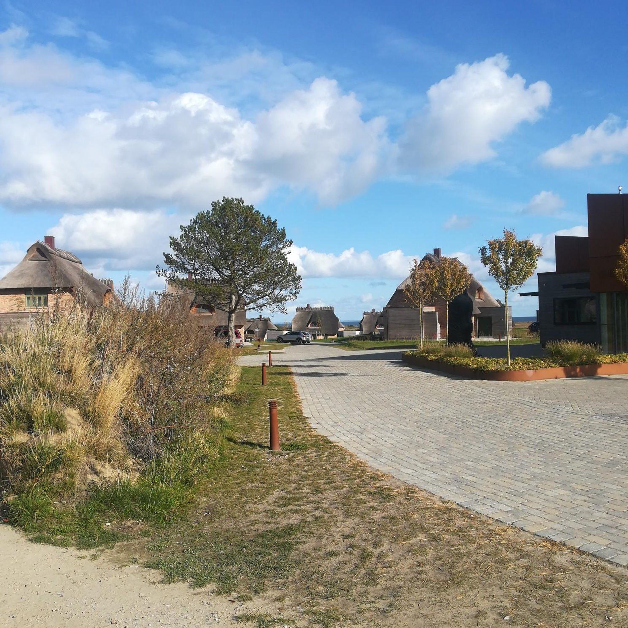
Easy hikes around La Ribera

Easy hikes around Arlanzon
Easy hikes around Demanda
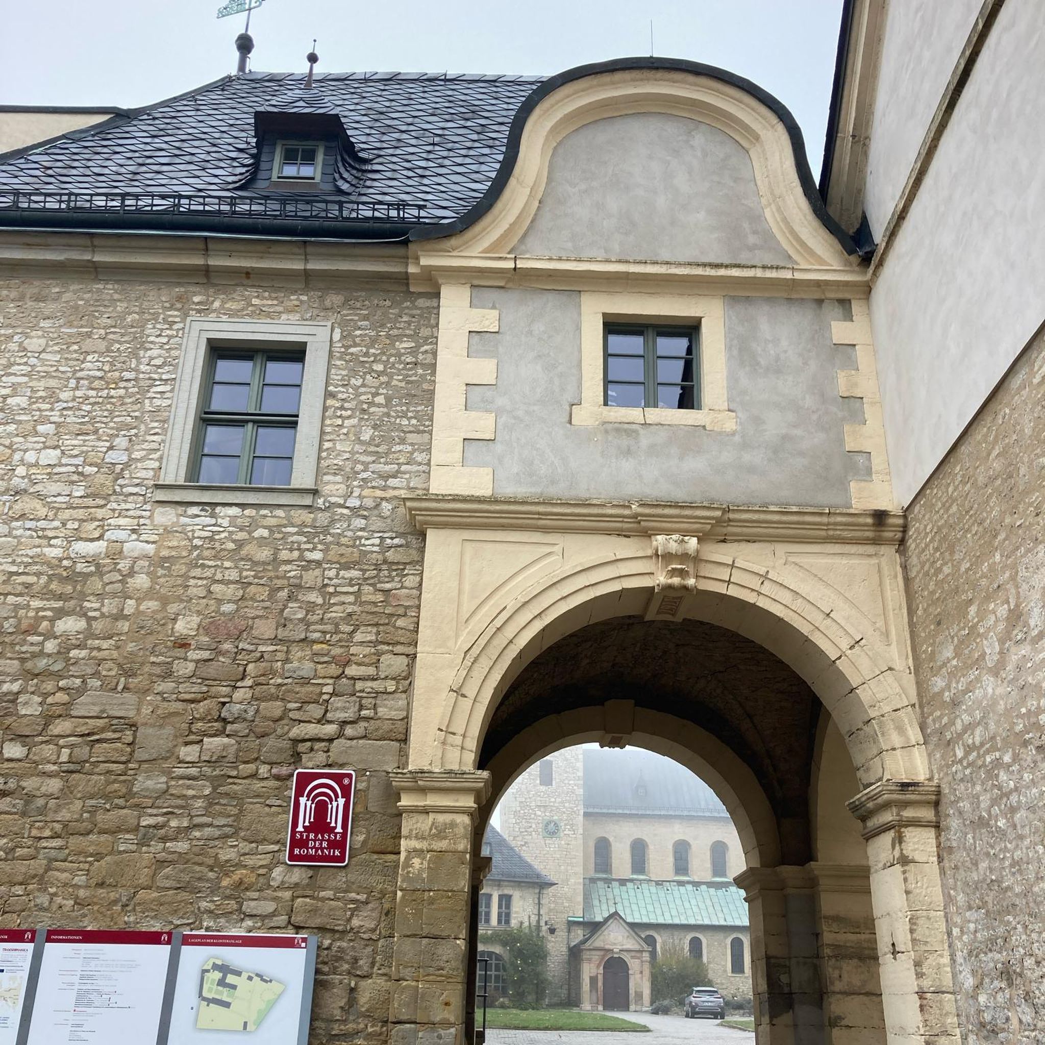
Easy hikes around Paramos
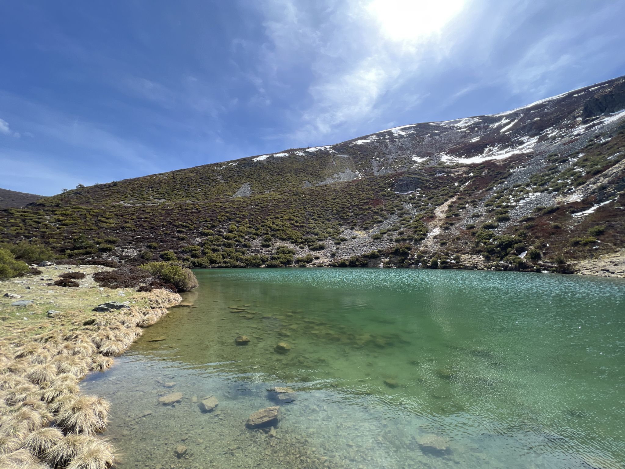
Discover the unknown Burgos - Dos Aguas Trail (GR 290)
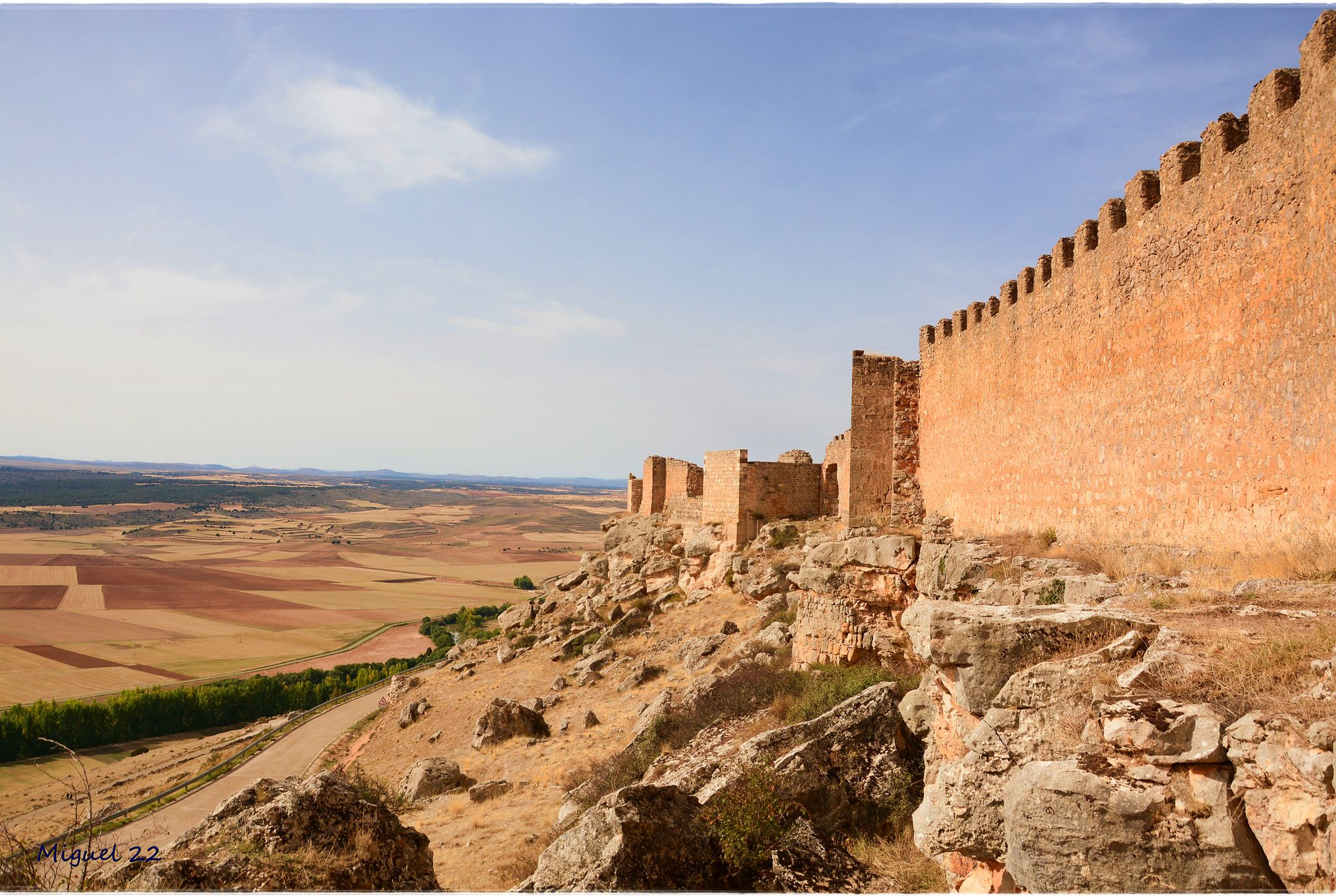
A journey through mediaeval Spain – El Camino del Cid (GR 160)
Other adventures in Burgos


Tips from the Community

Built of stone and with several semicircular arches, it is a good example of medieval civil engineering and has withstood the test of time thanks to its solidity, although it has been restored at different times. At one time it was key for the transit of workers and goods between neighborhoods, contributing to the economic growth of Aranda. Today it is preserved as a heritage element and is a pleasant place to walk, forming part of the city's historic complex and allowing visitors to learn about its industrial and medieval past along the river.
2
0
The medieval Puente de las Tenerías, located in Aranda de Duero over the Bañuelos river, is one of the most interesting historical corners of the city, although less known than the Duero bridge. It is a construction of medieval origin, linked to the urban and industrial development of the town, as it takes its name from the old tanneries (leather tanning workshops) that were in the area and that needed abundant water for their activity.
2
0
The bridge is built of stone and is characterized by its semicircular arches; it originally had four, although today it retains three due to later renovations. Over the centuries it has undergone numerous restorations, especially due to the floods of the Duero, one of the most important being the expansion and widening in the 19th century. In addition to its architectural value, it has been a strategic point for the passage of people, goods and herds, and today it is a symbol of the city and a very pleasant place to walk and enjoy the views of the river and Aranda de Duero. [iglesiaslocales.com], [edadesdelh...ogspot.com]
2
0
The Aranda de Duero Bridge, also known as Puente Mayor, is one of the city's most important historical elements, as it crosses the Duero River and has been key to its development. Although often called "Roman", it is actually a bridge of medieval origin, with references from the 12th-14th centuries, when it served as a fundamental crossing point on trade routes and the old Royal Road that connected the center and north of Spain.
2
0
Fuentespina, a small town in the province of Burgos in the Ribera del Duero, is a tranquil destination ideal for enjoying the rural environment and wine culture; the most interesting thing is to stroll through its traditional old town, visit the church of San Miguel, and above all explore its underground cellars and vineyards, as it is part of one of the most important wine regions in Spain. Additionally, from there you can take routes along the Duero River or visit Aranda de Duero, famous for its gastronomy (especially roast suckling lamb), making the visit a very complete experience combining nature, history, and wine tourism.
2
0

Place with a view of the stream
8
0


Bridge that connects fuentes Blancas with La Ventila.
0
0
Frequently Asked Questions
How many easy hiking trails are available in Burgos?
Burgos offers a wide selection of easy hiking trails, with over 290 routes specifically categorized as easy. In total, there are more than 1170 hiking routes across the region, catering to various skill levels.
What kind of terrain can I expect on easy hikes in Burgos?
Easy hikes in Burgos feature diverse terrain. You can find flat, accessible paths along rivers like the Ribera del Rio Arlazon y Playa de Fuente Prior — circular desde Burgos, or trails with minimal elevation gain through gorges such as the Mataviejas Gorge Trail. The region's geography includes river valleys, gentle forest paths, and greenways built on former railway lines, ensuring varied but manageable surfaces.
What is the best time of year for easy hiking in Burgos?
Burgos offers hiking opportunities year-round, but spring and autumn are particularly pleasant for easy trails. During these seasons, the weather is generally mild, and the landscapes are vibrant with spring blooms or autumn colors. Summer can be warm, especially in open areas, while winter might bring snow to higher elevations like the Sierra de la Demanda, though many lower-lying easy trails remain accessible.
Are there any easy circular routes in Burgos?
Yes, Burgos has several easy circular routes. An example is the Ribera del Rio Arlazon y Playa de Fuente Prior — circular desde Burgos, which follows the Arlanzón River. Another option is the Castrojeriz Castle and Santa María del Manzano Loop, offering historical sights within a manageable loop.
What do other hikers say about the easy trails in Burgos?
The easy hiking trails in Burgos are highly regarded by the komoot community, with an average rating of 4.5 stars from over 1700 reviews. Hikers frequently praise the region's diverse natural beauty, the accessibility of the trails, and the opportunities to explore historical and natural landmarks.
Are there easy trails that feature waterfalls or gorges in Burgos?
Absolutely. Burgos is known for its dramatic natural features. You can explore the Mataviejas Gorge Trail for impressive rock formations. The region also boasts the spectacular Salto del Nervión waterfall (best seen after heavy rains or snowmelt) and the accessible footbridges of the Desfiladero de La Yecla gorge, though specific easy routes directly to these might vary.
Can I find easy hikes near historical sites or landmarks in Burgos?
Yes, Burgos is rich in history. The Belorado Castle and Camino Francés Trail offers an easy walk past a historic castle and along a section of the famous Camino de Santiago. The Castrojeriz Castle and Santa María del Manzano Loop also combines historical exploration with an easy hike. You can also find highlights like Sad Hill Cemetery near some trails.
Are there easy trails that follow rivers or offer waterside views?
Many easy trails in Burgos feature rivers and waterside scenery. The Ribera del Rio Arlazon y Playa de Fuente Prior — circular desde Burgos follows the Arlanzón River, providing a pleasant, flat experience. The Río Arlanza Riverside Trail is another excellent option for waterside walking. The Ebro River also carves dramatic canyons, offering routes like the Ruta del Camino de Santiago y Río Ebro.
What natural features can I explore on easy hikes in Burgos?
Burgos's easy hikes allow you to discover a variety of natural features. You can find trails leading through dense forests in the Sierra de la Demanda, explore dramatic river canyons carved by the Ebro, or encounter unique karst formations in the Las Loras UNESCO Global Geopark. The region also features picturesque glacial lakes in the Natural Park of the Neila Glacier Lagoons and impressive viewpoints like Views of Pico del Fraile.
Are the easy hiking trails in Burgos suitable for families with children?
Yes, many easy hiking trails in Burgos are well-suited for families. Routes with minimal elevation gain and well-maintained paths, such as the Ribera del Rio Arlazon y Playa de Fuente Prior — circular desde Burgos, are ideal for children. The Vía Verde de la Sierra de la Demanda, a greenway on a former railway, also offers a safe and enjoyable experience for families.
Are there dog-friendly easy hiking trails in Burgos?
Many easy hiking trails in Burgos are dog-friendly, allowing you to enjoy the outdoors with your canine companion. It's always recommended to keep dogs on a leash, especially in natural parks or areas with wildlife, and to check local regulations for specific routes. Trails along rivers and through forests are generally good options for walks with dogs.
Is parking available near the easy hiking trails in Burgos?
Parking is generally available near the starting points of many easy hiking trails in Burgos, especially those located near villages or popular natural attractions. For trails closer to urban centers, like those along the Arlanzón River, public parking options are usually accessible. It's advisable to check specific route details for parking information before your hike.
Can I access easy hiking trails in Burgos using public transport?
While some trails, particularly those closer to the city of Burgos, may be accessible via local bus services, many of the more scenic easy hikes in the natural parks and rural areas are best reached by car. The Arlanzón River Park, for instance, is easily accessible within Burgos city. For routes further afield, public transport options might be limited, so planning ahead is recommended.
Are there any permits required for easy hiking in Burgos?
Generally, no specific permits are required for easy hiking on established trails in Burgos. However, if you plan to visit protected natural areas or specific sites within natural parks, it's always a good practice to check for any local regulations or access restrictions that might apply, especially during peak seasons or for larger groups.
Most popular routes in Burgos
Most popular attractions in Burgos

Get inspired with the komoot mobile app


Didn’t find what you were looking for?
Check out more Hikes throughout Burgos below and find the perfect route in your destination.
Explore more
Browse the best Hikes in other regions.
