Easy hikes and walks in Ilm-Kreis
4.6
(22981)
77,406
hikers
2,994
hikes
Easy hiking trails in Ilm-Kreis traverse a landscape largely shaped by the Thuringian Forest, which covers approximately 43% of the district. The region features rolling hills and dense woodlands, providing a natural setting for outdoor activities. Notable physical features include the Ilmenau Ponds, a significant wetland area, and characteristic Muschelkalk and Keuper ridges marking the transition to higher elevations. This diverse terrain offers a variety of easy paths suitable for different fitness levels.
Best easy hiking trails in Ilm-Kreis
- The…
Last updated: August 25, 2026
4.6
(43)
222
hikers
4.10km
01:06
50m
40m
Easy hike. Great for any fitness level. Easily-accessible paths. Suitable for all skill levels.
4.8
(247)
762
hikers
Easy hike. Great for any fitness level. Easily-accessible paths. Suitable for all skill levels.

Sign up for free
4.8
(207)
758
hikers
6.07km
01:49
200m
200m
Easy hike. Great for any fitness level. Easily-accessible paths. Suitable for all skill levels.
4.8
(177)
615
hikers
5.55km
01:42
200m
200m
Easy hike. Great for any fitness level. Easily-accessible paths. Suitable for all skill levels.
4.8
(207)
681
hikers
Easy hike. Great for any fitness level. Easily-accessible paths. Suitable for all skill levels.
4.7
(113)
390
hikers
4.62km
01:19
110m
110m
Easy hike. Great for any fitness level. Easily-accessible paths. Suitable for all skill levels.
4.8
(258)
762
hikers
Easy hike. Great for any fitness level. Easily-accessible paths. Suitable for all skill levels.
4.5
(90)
463
hikers
2.70km
00:43
20m
20m
Easy hike. Great for any fitness level. Easily-accessible paths. Suitable for all skill levels.
4.6
(78)
261
hikers
Easy hike. Great for any fitness level. Easily-accessible paths. Suitable for all skill levels.
4.7
(72)
286
hikers
4.17km
01:14
120m
120m
Easy hike. Great for any fitness level. Easily-accessible paths. Suitable for all skill levels.
Get access to more routes and recommendations from other explorers.
Sign up for free
Already have an account?
Our route recommendations are based on thousands of hikes, rides, and runs completed by other people on komoot.
Start today with a free account
Your next adventure awaits.
Login or Signup
Popular around Ilm-Kreis
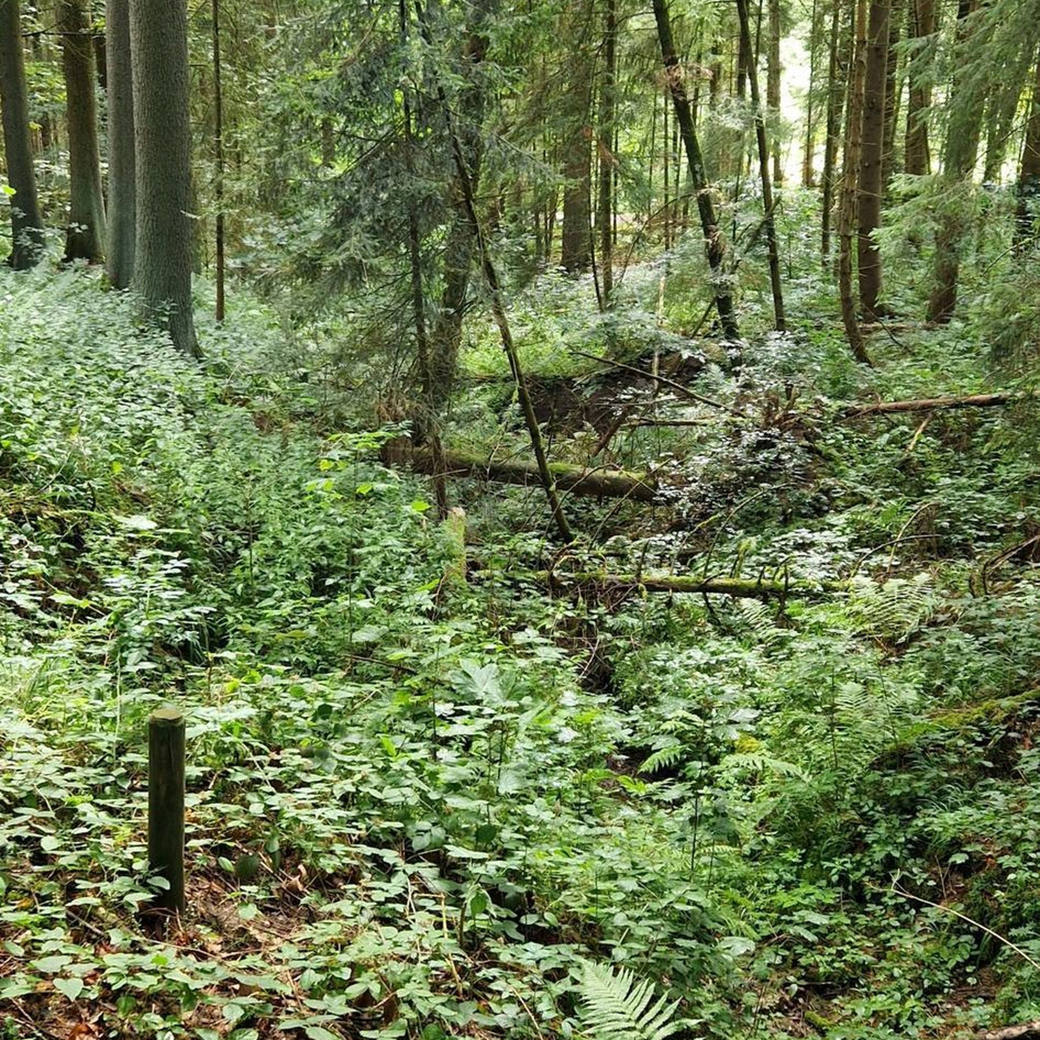
Easy hikes around Gehlberg
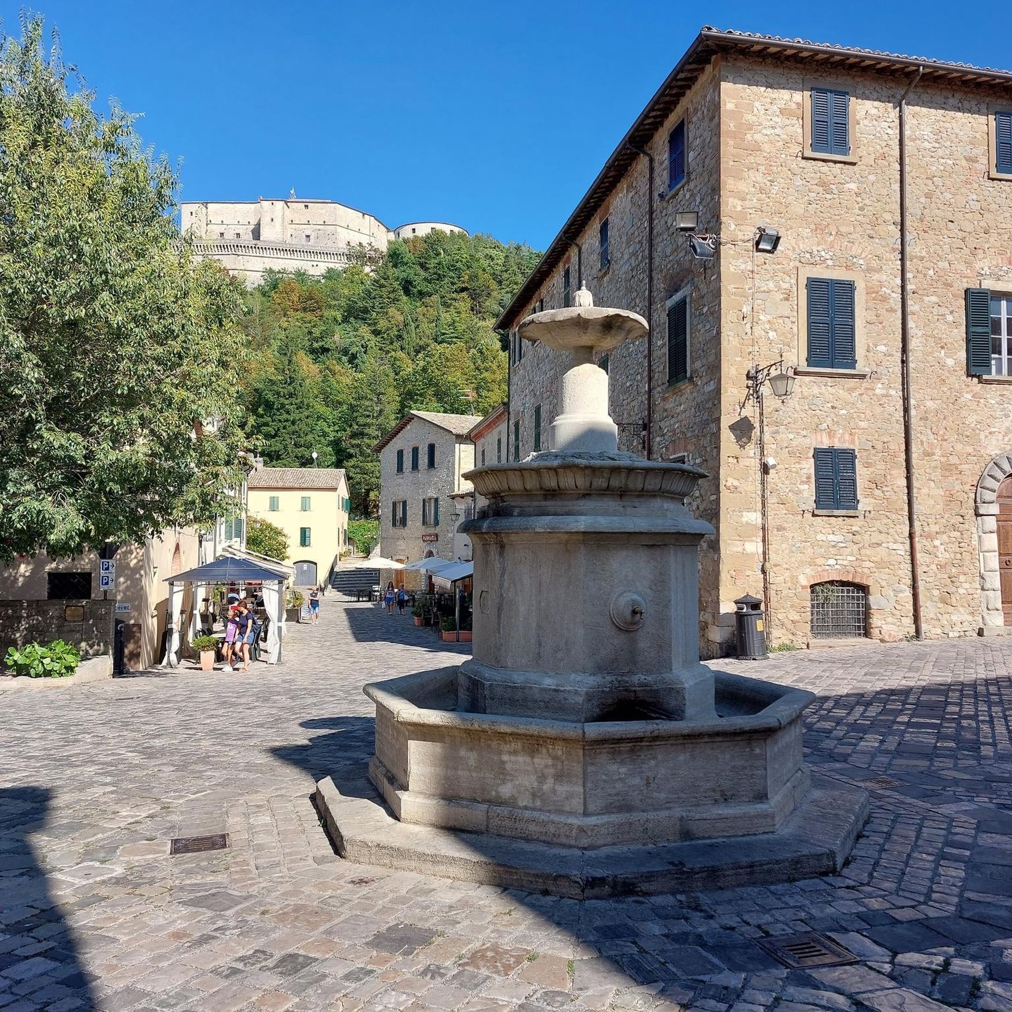
Easy hikes around Ilmenau
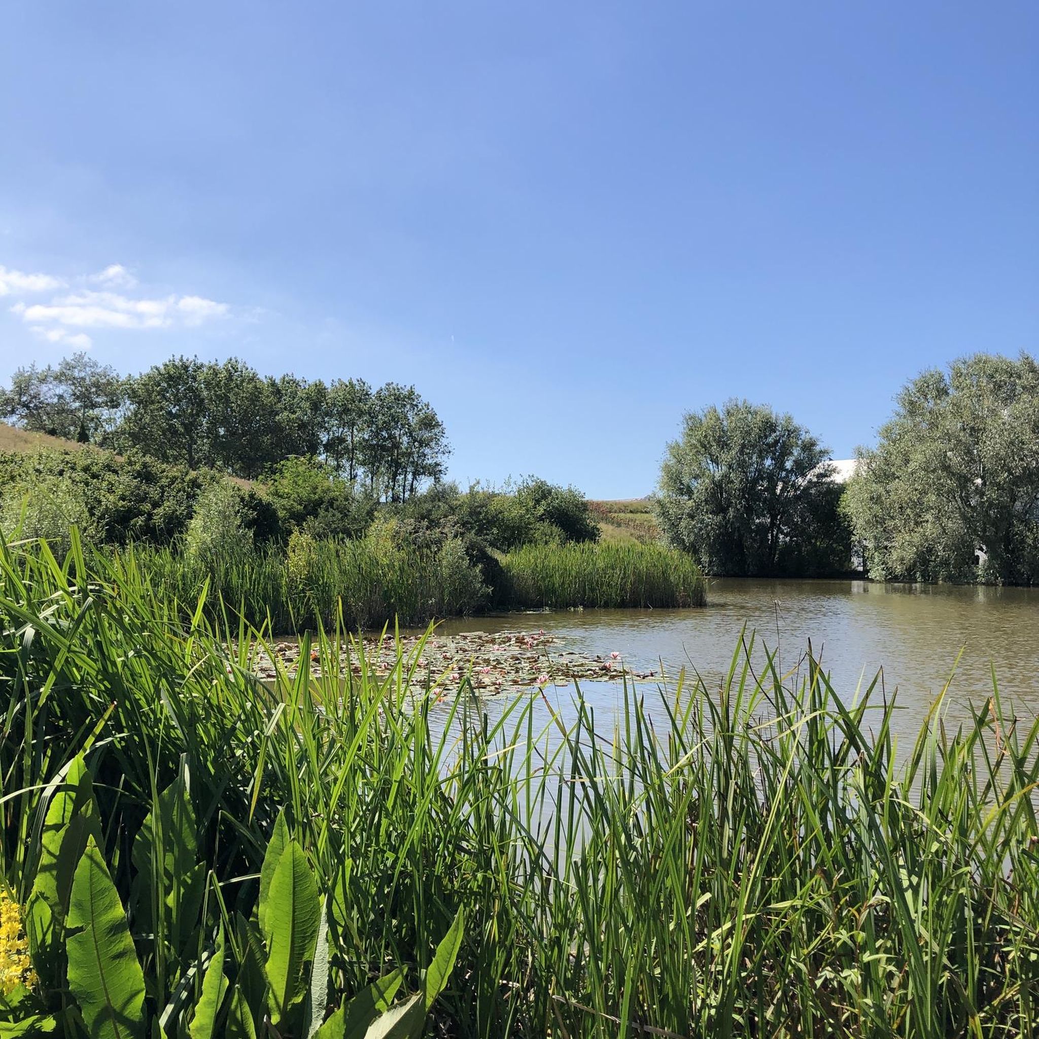
Easy hikes around Schmiedefeld am Rennsteig
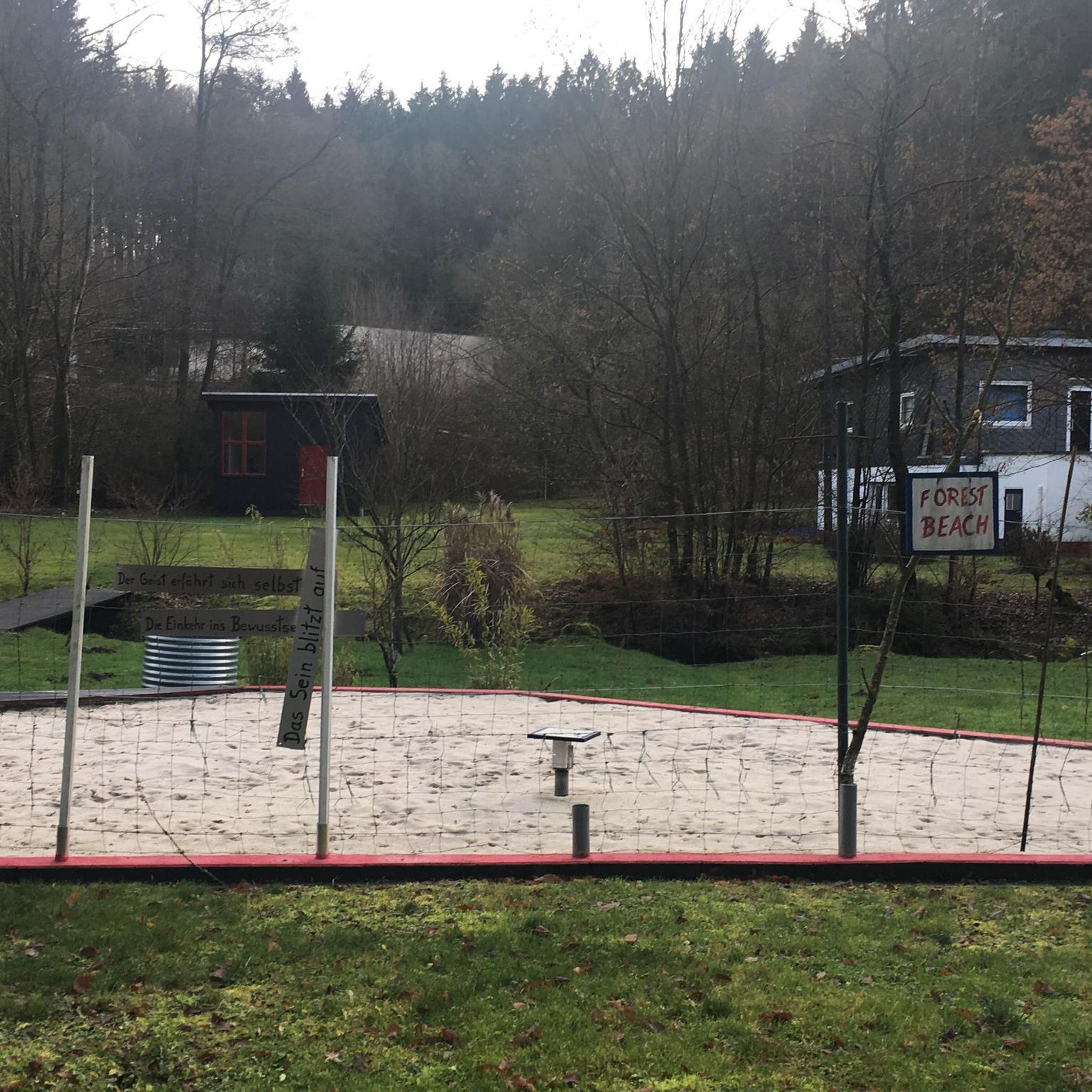
Easy hikes around Arnstadt

Easy hikes around Frankenhain

Easy hikes around Stützerbach
Easy hikes around Neustadt am Rennsteig

Easy hikes around Amt Wachsenburg
Easy hikes around Plaue
Easy hikes around Dam Heyda
Other adventures in Ilm-Kreis


Tips from the Community

The children's hiking trail „Zwergenpfad Frauenwald“ in the Thuringian Forest is an approximately 4-kilometer circular route, specially designed for families and starts directly at the Frauenwald Tourist Information. Small wooden and clay gnomes on the trees show the children the way through the forest.
1
0

Bruno's Rest, a lovely spot for a break
0
0


Great view, no matter the weather 💚
1
0


Very nice forest path on the way to Schneekopf
0
0

Once you get to the top, you can walk well.
3
0

Delicious food and a beautiful view
1
0
Frequently Asked Questions
How many easy hiking trails are available in Ilm-Kreis?
Ilm-Kreis offers a wide selection of easy hiking trails, with over 1,400 routes suitable for various fitness levels. The region's diverse landscape, featuring the Thuringian Forest and rolling hills, provides numerous options for a relaxed outdoor experience.
Are there easy circular walks in Ilm-Kreis?
Yes, many easy circular walks are available. For example, consider the Kreuzchen Observation Tower – View from Schneckchen Tower loop from Arnstadt, which is about 4.8 km long. Another option is the Lütsche Dam – Lütsche Reservoir loop from Borzelberg, a shorter 2.7 km route around the popular Lütsche Dam.
What kind of viewpoints can I expect on easy hikes in Ilm-Kreis?
Easy hikes in Ilm-Kreis often lead to rewarding viewpoints. The region's highest mountain, Kickelhahn, offers the historic Kickelhahn Tower with spectacular views. The Schneekopf, the second-highest elevation in Thuringia, also provides magnificent panoramic vistas from its summit and observation tower.
Are there family-friendly easy hikes in Ilm-Kreis?
Absolutely. The region is well-suited for families, with many gentle paths through forests and around natural features. The Ilmenau Ponds area, for instance, offers flat trails perfect for a leisurely family stroll, where you can observe waterfowl and other wildlife.
Can I bring my dog on easy hiking trails in Ilm-Kreis?
Most easy hiking trails in Ilm-Kreis are dog-friendly, allowing you to explore the natural beauty with your canine companion. It's always recommended to keep dogs on a leash, especially in nature reserves or near wildlife, and to check local regulations for specific routes.
Are there any waterfalls to see on easy hikes?
Yes, Ilm-Kreis features several waterfalls that can be reached via easy paths. You might enjoy visiting the Helms Waterfall or the Fallborn Waterfall, which are accessible and offer picturesque natural scenery.
What are some interesting natural landmarks or attractions along easy routes?
Beyond viewpoints and waterfalls, you can explore unique natural and historical sites. The Burnt Stone Tunnel, built by miners in 1704, is easily traversable and offers a unique experience, especially in winter. The culturally significant Goethe House on Kickelhahn is also a notable stop for hikers.
What is the best time of year for easy hiking in Ilm-Kreis?
Ilm-Kreis offers pleasant easy hiking experiences throughout much of the year. Spring brings blooming forests, summer provides lush greenery, and autumn showcases vibrant foliage. Even in winter, specific trails like those around Kickelhahn are suitable for winter hiking, offering a unique, serene atmosphere.
Are there easy hikes accessible by public transport?
Many towns and villages in Ilm-Kreis, particularly those within the Thuringian Forest, have public transport connections that can serve as starting points for easy hikes. It's advisable to check local bus or train schedules for specific trailheads, especially around larger towns like Ilmenau or Arnstadt.
Where can I find parking for easy hiking trails?
Parking is generally available at popular trailheads and attractions throughout Ilm-Kreis. Many routes start near villages or designated parking areas, particularly around sites like the Lütsche Dam or the base of Kickelhahn. Look for signs indicating hiker parking at the beginning of trails.
What do other hikers enjoy most about easy hiking in Ilm-Kreis?
The easy hiking trails in Ilm-Kreis are highly rated by the komoot community, with an average score of 4.6 stars from over 21,000 reviews. Hikers often praise the region's tranquil atmosphere, the well-maintained paths through the dense Thuringian Forest, and the diverse natural features like the Ilmenau Ponds and scenic viewpoints.
Are there any easy hikes that pass by cafes or places to rest?
Yes, some easy hiking routes in Ilm-Kreis are designed to pass by or lead to places where you can take a break and enjoy refreshments. Areas around popular attractions like the Kickelhahn Tower or the Lütsche Dam often have nearby facilities. You can also find shelters like the "Stein 16" near Oberhof, which serves as a resting point.
Most popular routes in Ilm-Kreis
Most popular attractions in Ilm-Kreis

Get inspired with the komoot mobile app


Didn’t find what you were looking for?
Check out more Hikes throughout Ilm-Kreis below and find the perfect route in your destination.
Explore more
Browse the best Hikes in other regions.
