The best MTB trails in Ilm-Kreis
4.7
(3938)
12,965
riders
798
rides
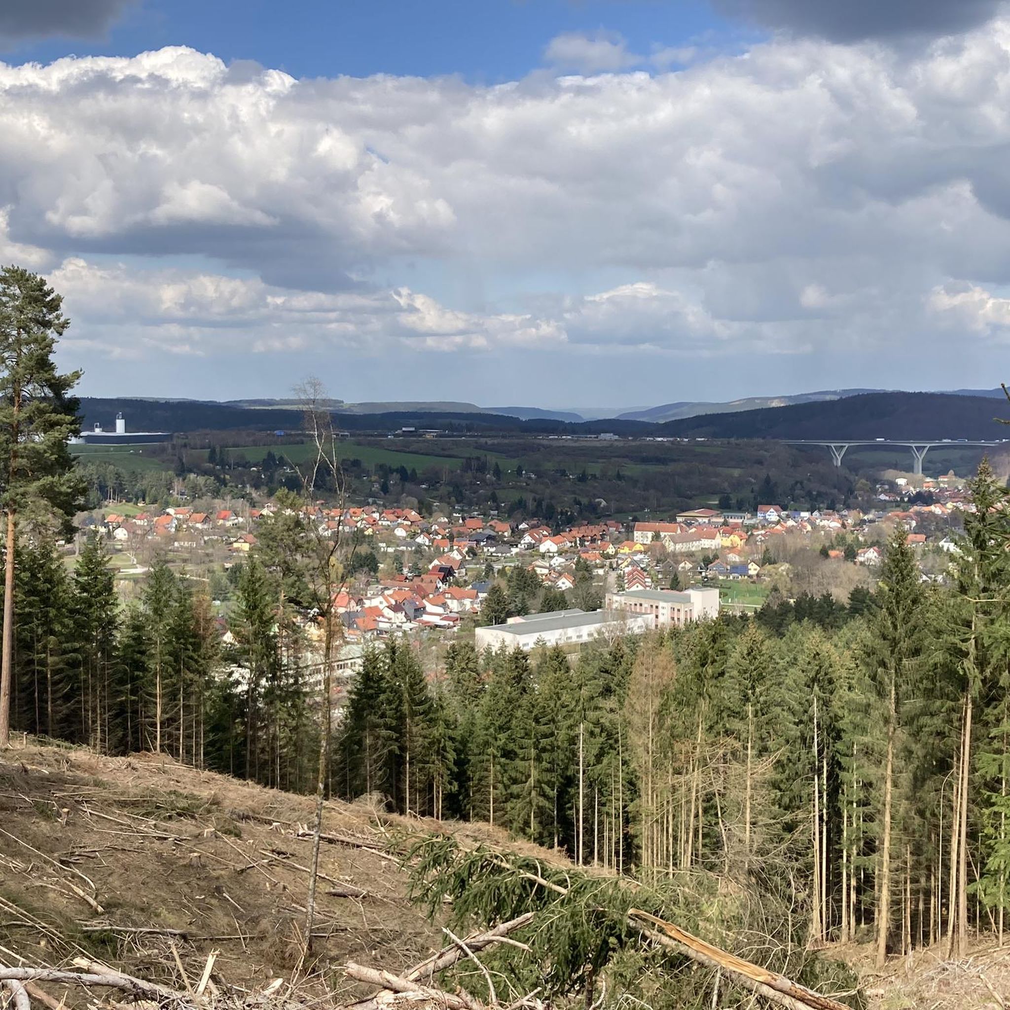
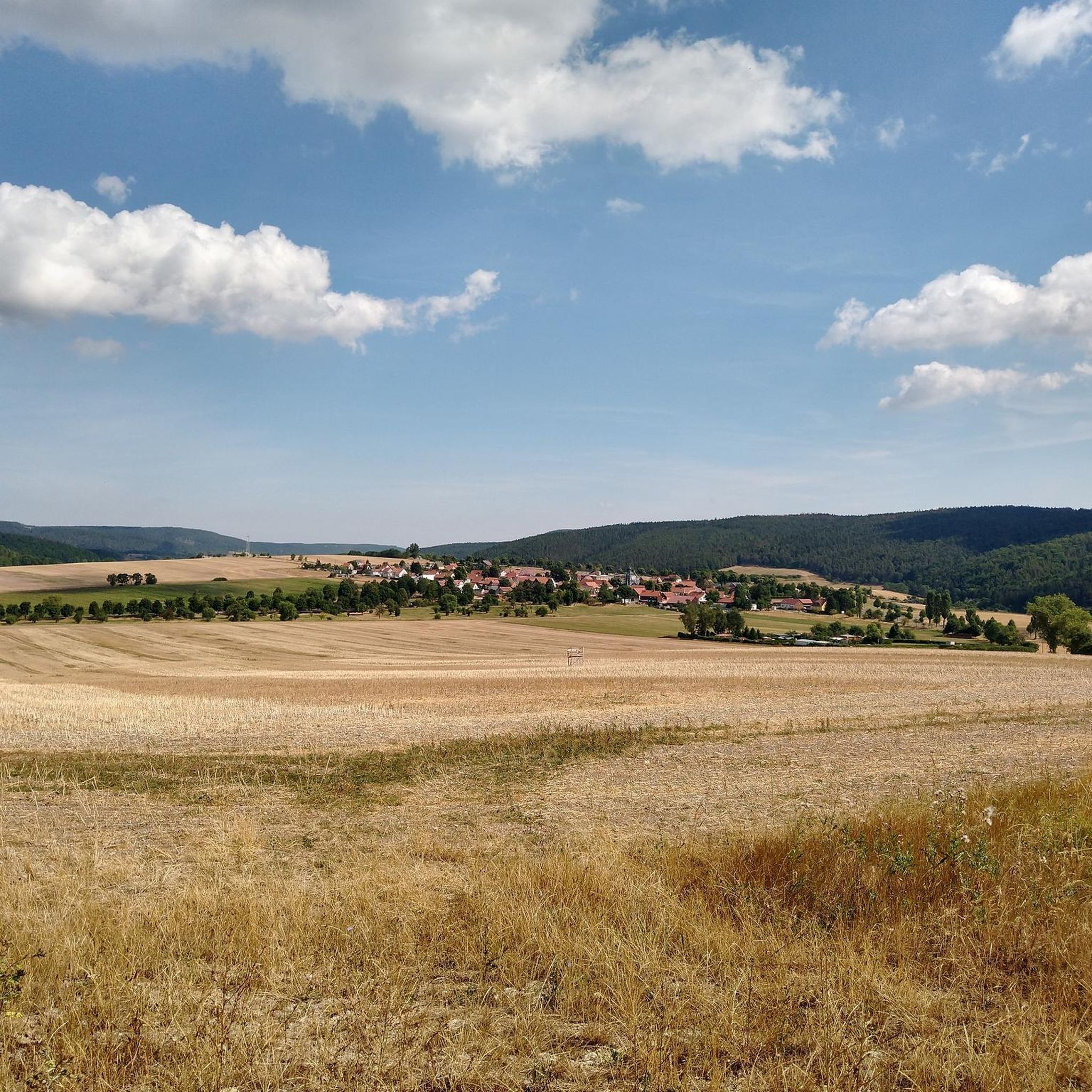
Mountain biking in Ilm-Kreis offers diverse landscapes within Thuringia, Germany. The region is characterized by the dense Thuringian Forest, which covers a significant portion of the district, and features numerous named mountains, including Kickelhahn at 861 meters. Varied geological formations like the Muschelkalkplatte contribute to interesting terrain, while river valleys such as the Ilm River provide scenic routes. This combination of forests, elevations, and geological features creates a rich environment for mountain biking.
Best mountain bike trails in Ilm-Kreis
- The…
Last updated: August 23, 2026
4.6
(16)
32
riders
41.8km
03:55
740m
740m
Moderate mountain bike ride. Good fitness required. Advanced riding skills necessary.
4.8
(77)
302
riders
82.4km
07:34
1,500m
1,500m
Hard mountain bike ride. Very good fitness required. Advanced riding skills necessary.

Sign up for free
4.6
(48)
203
riders
50.1km
04:16
770m
770m
Hard mountain bike ride. Good fitness required. Advanced riding skills necessary. Some portions of the route may require you to push your bike.
4.8
(59)
161
riders
48.8km
04:12
770m
770m
Moderate mountain bike ride. Good fitness required. Advanced riding skills necessary.
4.6
(66)
240
riders
34.6km
01:55
130m
130m
Easy mountain bike ride. Great for any fitness level. Suitable for all skill levels.
4.8
(22)
121
riders
68.4km
06:28
1,340m
1,340m
Hard mountain bike ride. Very good fitness required. Advanced riding skills necessary.
4.7
(132)
500
riders
44.4km
04:37
1,190m
1,190m
Hard mountain bike ride. Very good fitness required. Advanced riding skills necessary.
4.5
(41)
119
riders
43.5km
03:49
740m
740m
Moderate mountain bike ride. Good fitness required. Advanced riding skills necessary.
4.9
(51)
153
riders
Moderate mountain bike ride. Good fitness required. Suitable for all skill levels.
4.7
(30)
92
riders
57.5km
05:32
1,310m
1,310m
Hard mountain bike ride. Very good fitness required. Advanced riding skills necessary.
Get access to more routes and recommendations from other explorers.
Sign up for free
Already have an account?
Our route recommendations are based on thousands of hikes, rides, and runs completed by other people on komoot.
Start today with a free account
Your next adventure awaits.
Login or Signup
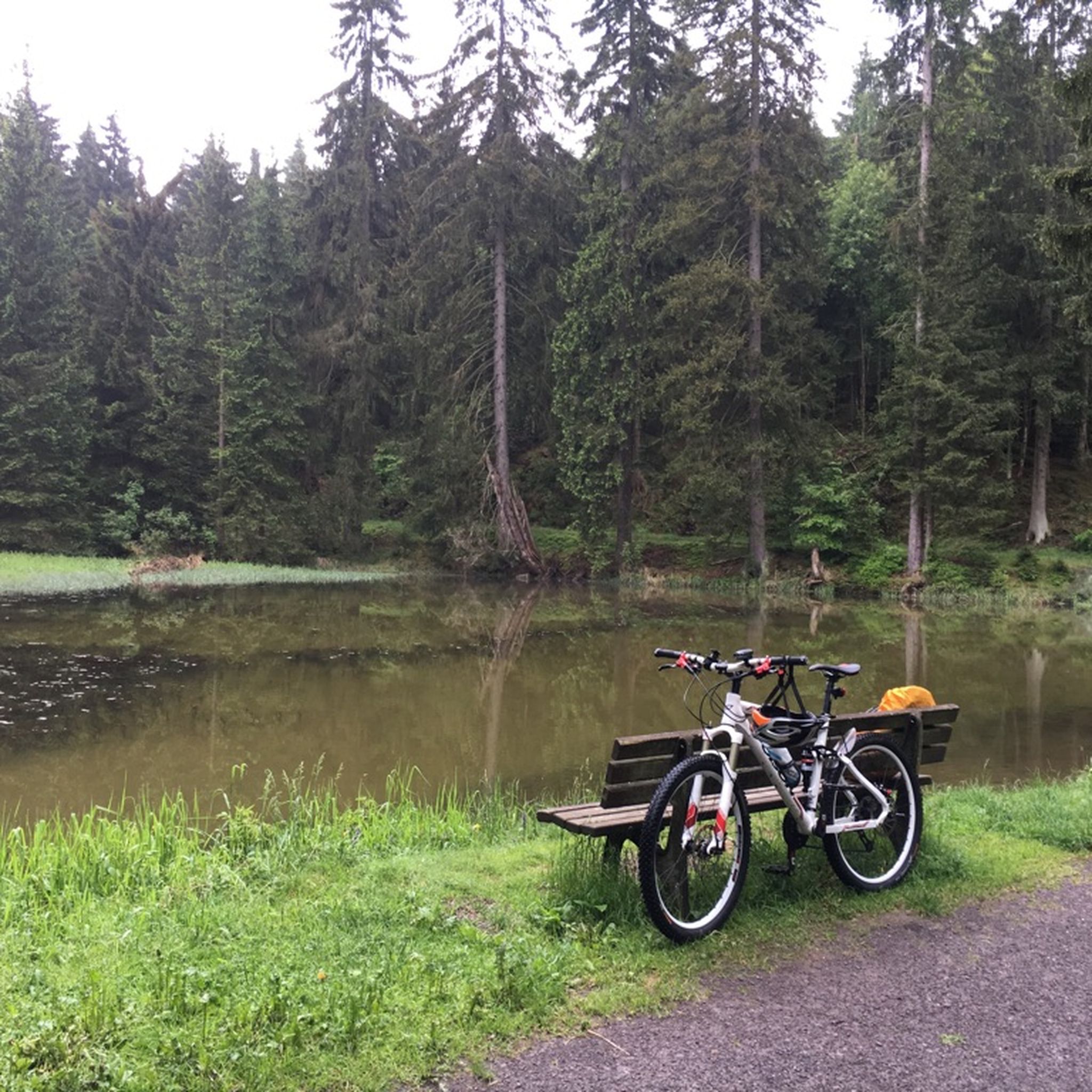
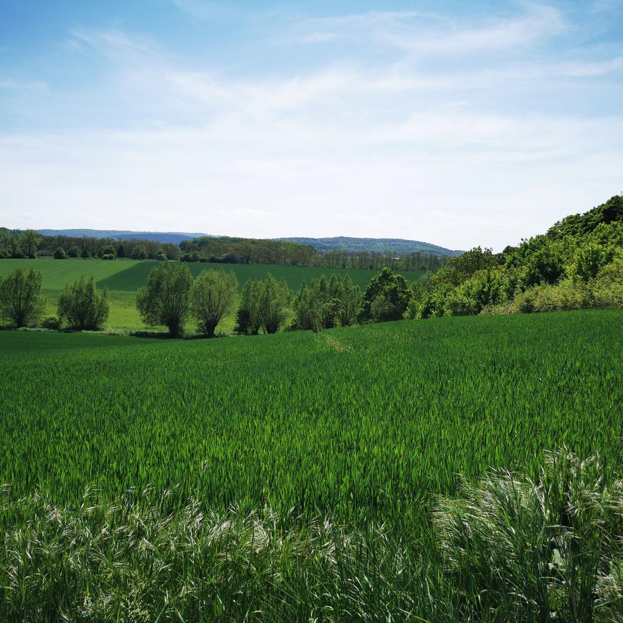
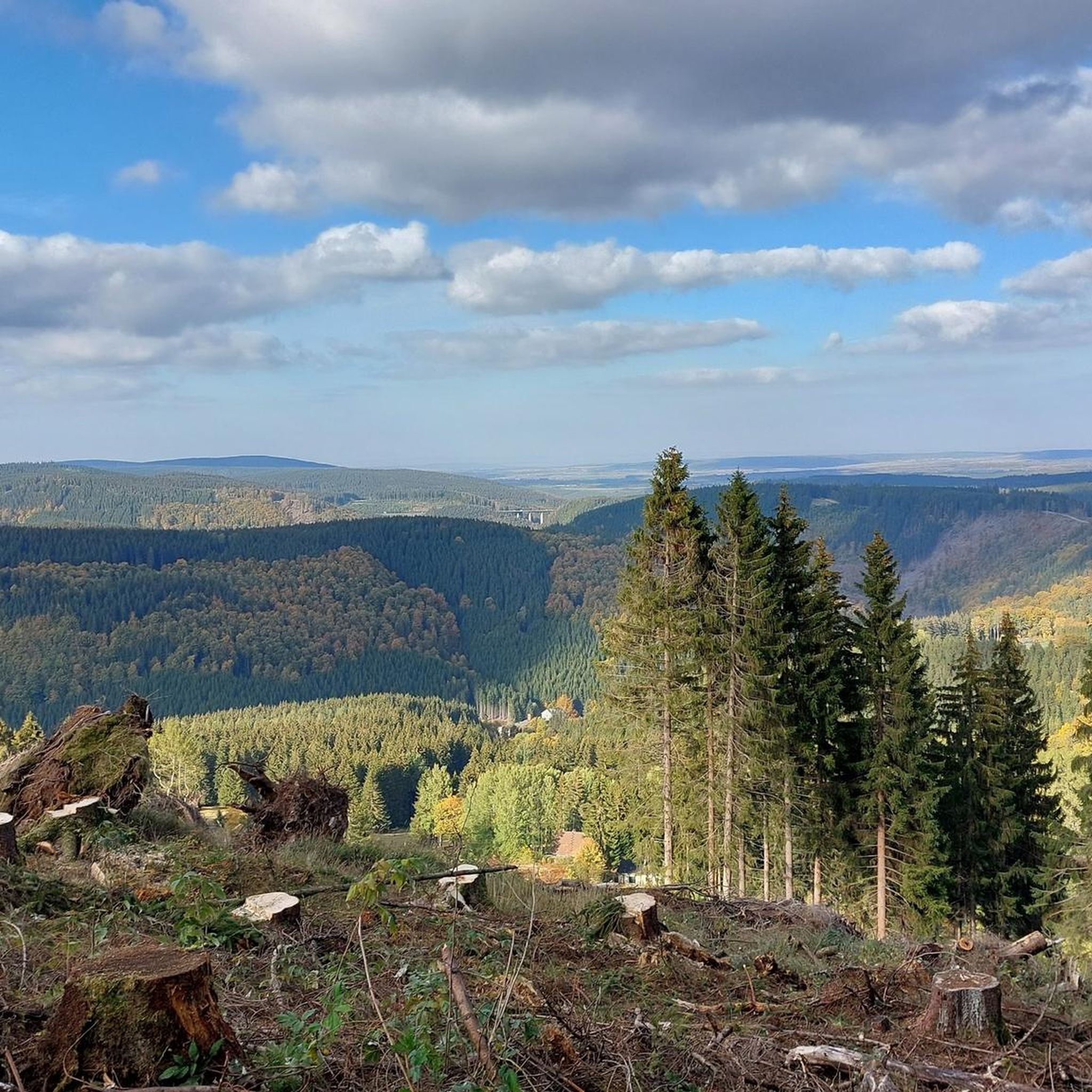
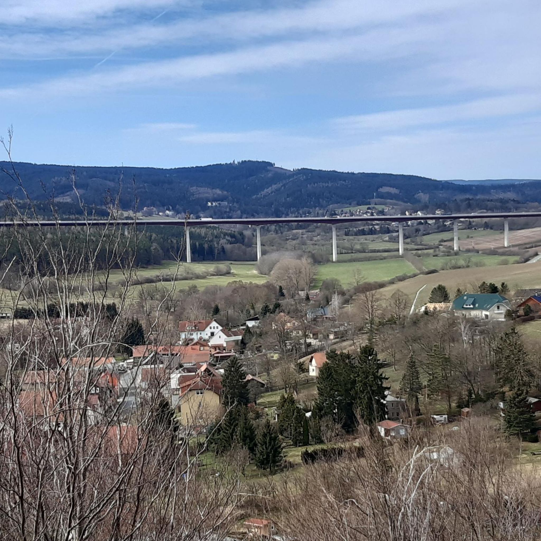
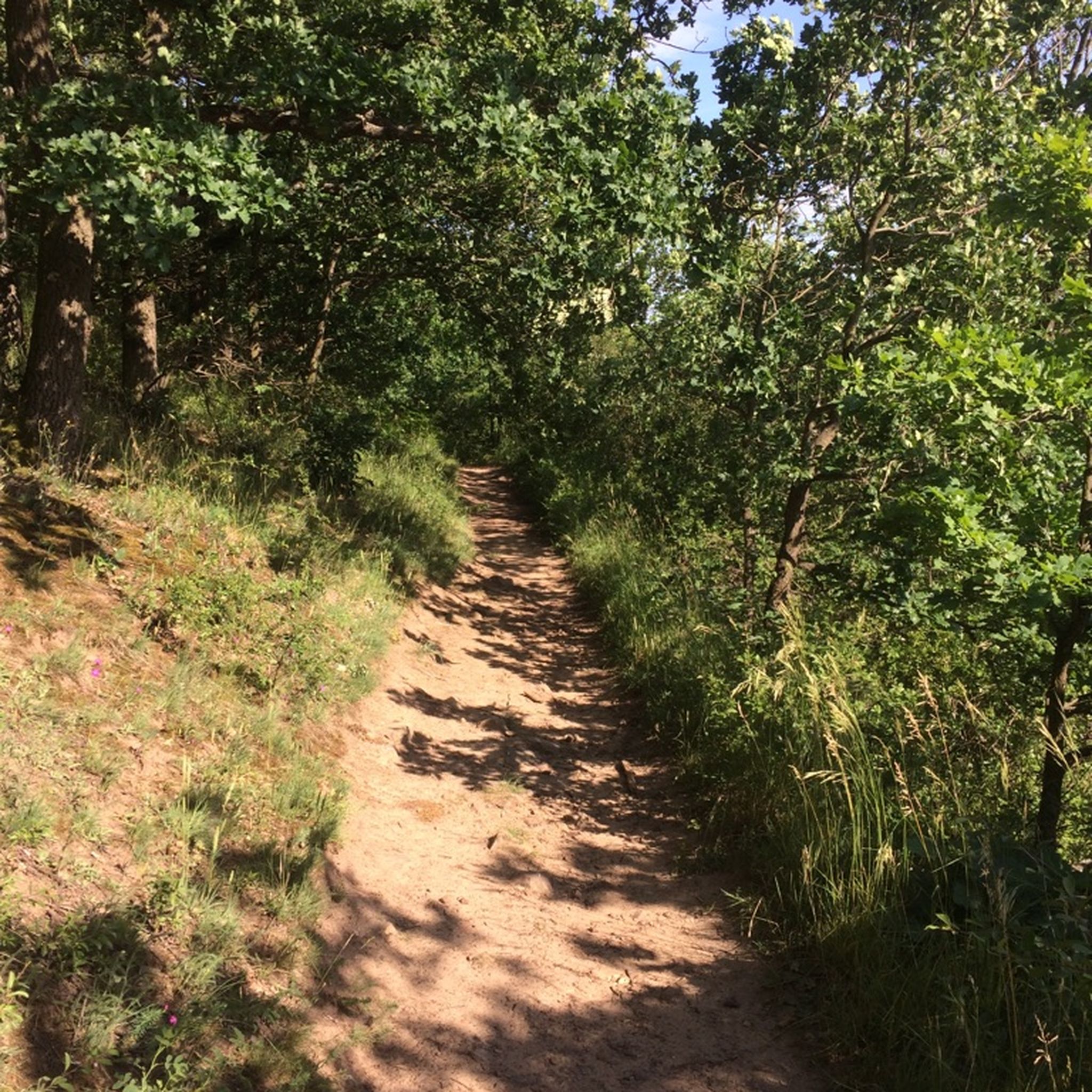
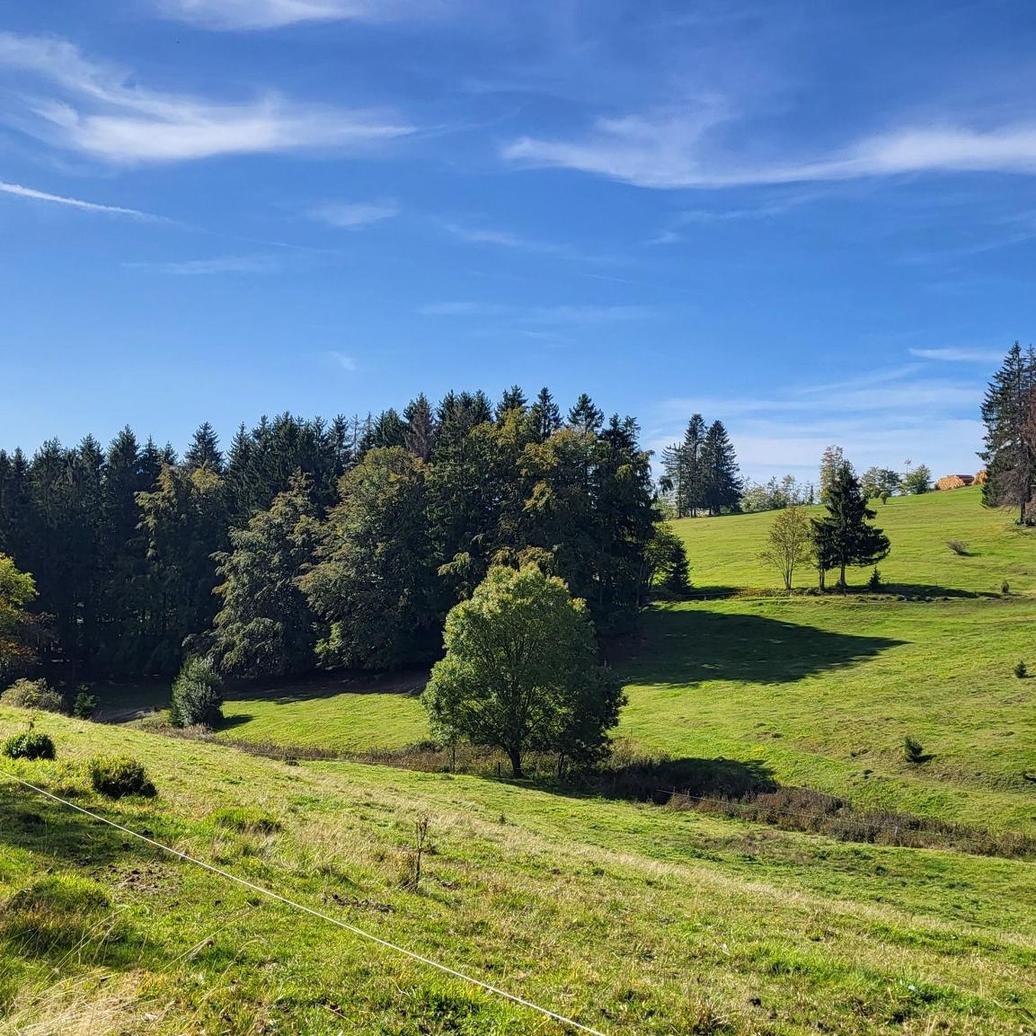
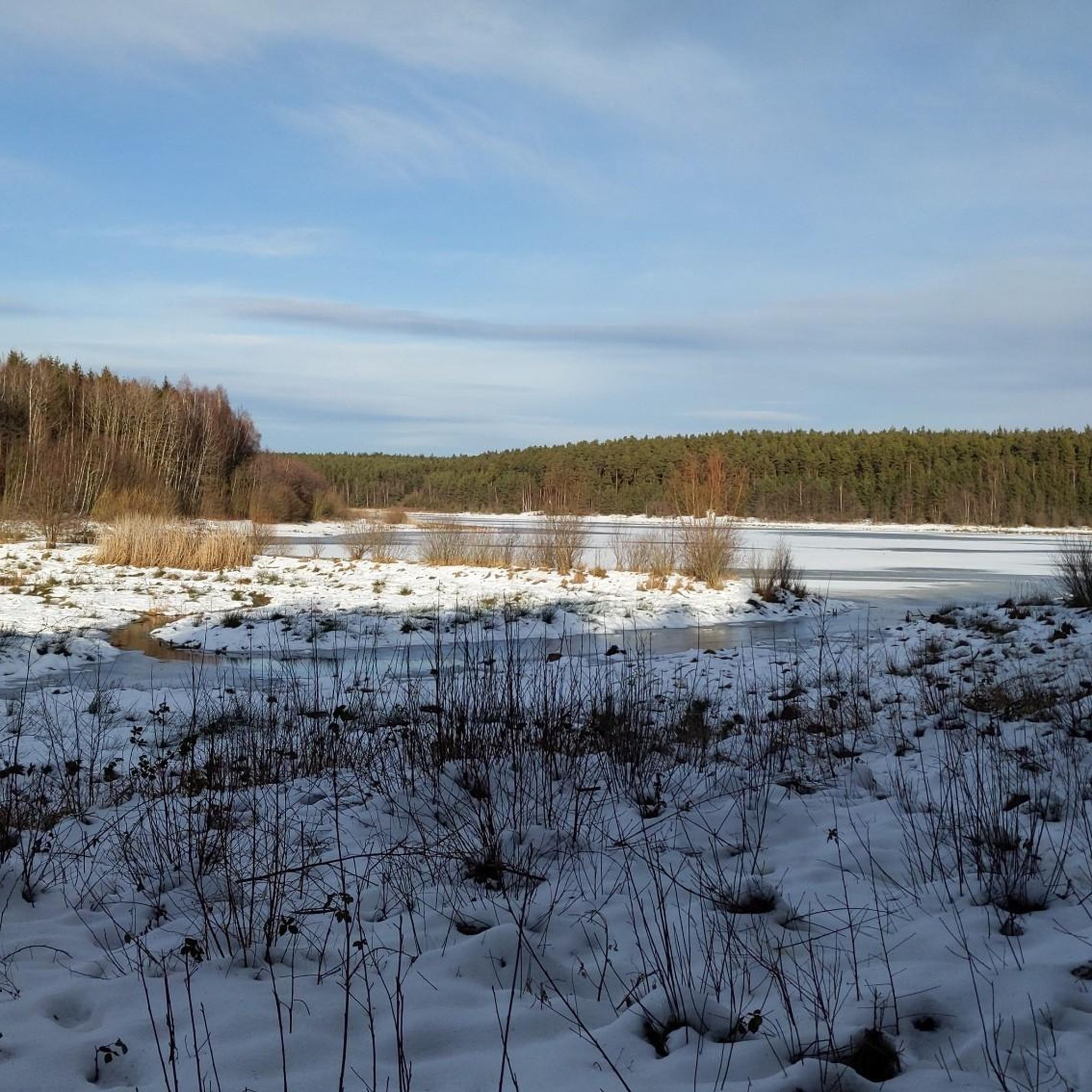
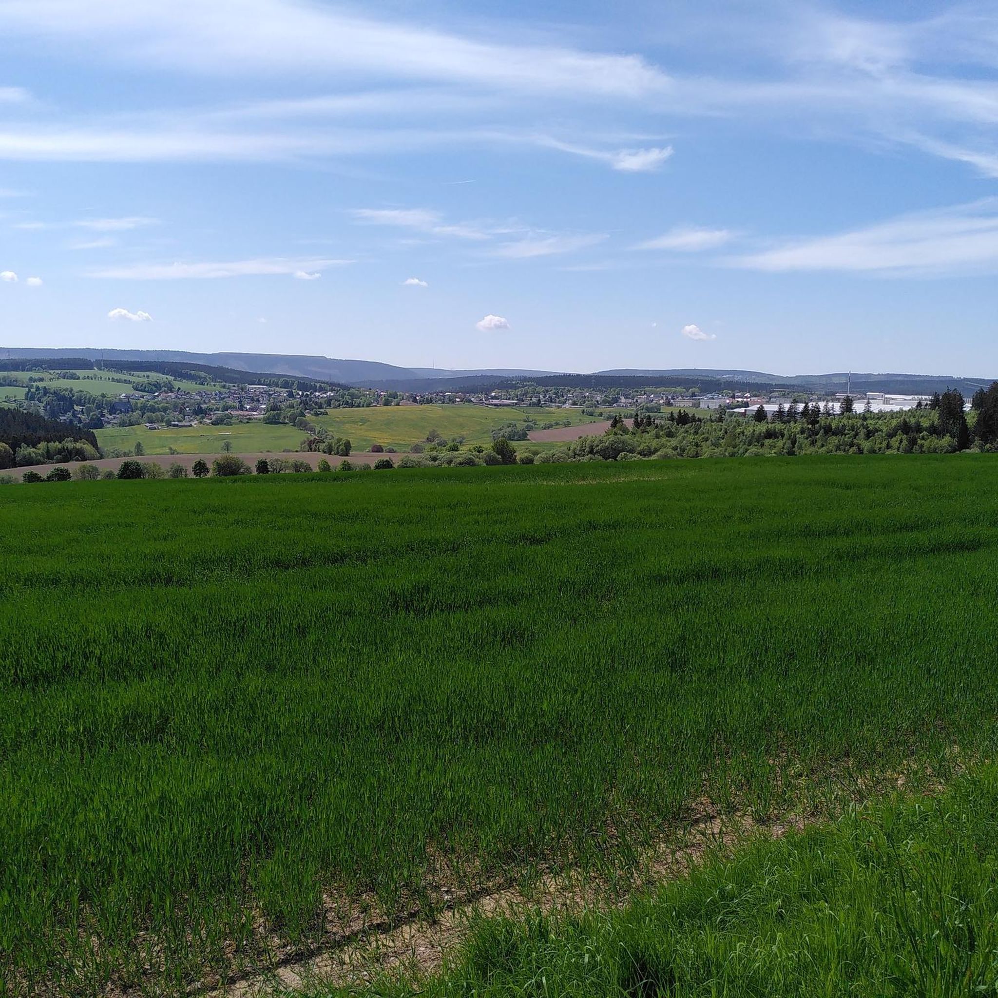
Other adventures in Ilm-Kreis


Tips from the Community

The loop around the Schönbrunn reservoir is about 14 km. There are enough resting places and views to enjoy are included anyway.
0
0

Those who push ahead from Masserberg towards Langertfelsen and Neustadt on the Rennsteig will be rewarded with distant views and plenty of mountain air.
1
0

Large intersection with many small roads.
2
0


A very beautiful, natural trail with singletrack sections, but now partially leveled and damaged by forestry work. Still worth a ride, though 👍
0
0

Beautiful and relaxing route.
0
0

On the Rennsteig cycle path to the Bierfleck crossroads, there are a variety of options for one destination!
2
0
Be careful when driving, there are endless roots!
0
0
Frequently Asked Questions
How many mountain bike trails are available in Ilm-Kreis?
Ilm-Kreis offers a vast network for mountain biking, with over 800 routes recorded on komoot. These trails cater to various skill levels, including 153 easy, 519 moderate, and 150 difficult options, ensuring there's something for every rider.
What is the best time of year for mountain biking in Ilm-Kreis?
The best seasons for mountain biking in Ilm-Kreis are typically spring and autumn. During these times, the weather is mild, and the trails are generally in good condition, making for a more enjoyable riding experience through the Thuringian Forest.
Are there any family-friendly mountain bike trails in Ilm-Kreis?
Yes, Ilm-Kreis has options suitable for families. While specific 'family-friendly' routes are not explicitly listed, the region offers 153 easy trails that are generally flatter and less technically demanding. The 'Playline' trails in Ilmenau, particularly the Upper, Middle, and Lower Parts at Lindenberg, are known for being moderate to family-friendly machine-groomed routes with features like berms and pump tracks.
What kind of terrain can I expect on mountain bike trails in Ilm-Kreis?
You can expect a diverse range of terrain in Ilm-Kreis. The region is characterized by the dense Thuringian Forest, offering many forest trails. There's also mountainous terrain, with the highest point being Kickelhahn (861 m), providing challenging ascents and descents. Additionally, river valleys like the Ilm River offer more gentle, scenic paths. The unique geological formations of the Muschelkalkplatte also contribute to varied landscapes.
Are there any circular mountain bike routes in Ilm-Kreis?
Many mountain bike routes in Ilm-Kreis are designed as loops. For example, the moderate Mönchhof Inn – Old Watering Place Rest Area loop from Ilmenau is a popular choice, as is the easy Molsdorf Castle – Trail along the Gera River loop from Ichtershausen. You'll find numerous other circular options suitable for various distances and difficulties.
What natural features or landmarks can I see along the mountain bike trails?
Ilm-Kreis is rich in natural beauty and interesting landmarks. You might encounter features like the Burnt Stone Tunnel or the Dienstedt Karst Cave. The region also boasts impressive gorges, such as the Freibach Valley and the Finsteres Loch Wooden Bridge and Waterfall. The Kickelhahn Observation Tower loop from Ilmenau offers views from one of the district's highest points.
Are there mountain bike trails that pass by reservoirs or water bodies?
Yes, several trails incorporate the region's water bodies. The Lütsche Dam near Frankenhain is a well-liked excursion destination, and you can explore it on routes like the moderate Lütsche Reservoir – Lütsche Reservoir loop from Dörrberg. Another option is the moderate Schönbrunn Reservoir – View of the Schönbrunn Reservoir loop from Frauenwald.
What do other mountain bikers enjoy most about mountain biking in Ilm-Kreis?
The mountain biking experience in Ilm-Kreis is highly rated by the komoot community, with an average score of 4.7 stars from over 3,000 reviews. Riders often praise the diverse landscapes, the extensive network of trails through the dense Thuringian Forest, and the variety of options available for different skill levels, from challenging climbs to scenic riverside paths.
Are there any challenging mountain bike trails for experienced riders?
Absolutely. Ilm-Kreis offers 150 difficult mountain bike routes for experienced riders seeking a challenge. Notable options include the Rennsteig Train Station – Old Watering Place Rest Area loop from Gehlberg, which covers over 76 km with significant elevation gain, and the Upper Sieglitz Pond – Burnt Stone Tunnel loop from Ilmenau-Roda, known for its demanding climbs.
Can I find trails that are part of the famous Rennsteig long-distance path?
Yes, portions of the long-distance 'Rennsteig' trail are accessible for mountain biking within Ilm-Kreis, particularly the 'Wurzeltrail Allzunah.' While some sections may be shared with hikers, it offers a chance to experience parts of Thuringia's most celebrated hiking route on two wheels. The difficult Rennsteig Train Station – Old Watering Place Rest Area loop from Gehlberg is an example of a route that touches this iconic path.
Are there any trails near historical sites or castles?
Yes, you can combine your mountain bike tour with visits to historical sites. The easy Molsdorf Castle – Trail along the Gera River loop from Ichtershausen leads through riverine landscapes and past historic sites. Another option is the moderate Gera Cycle Path near Arnstadt – Molsdorf Castle loop from Marlishausen, which also passes by Molsdorf Castle.
What are the general conditions of the trails in Ilm-Kreis?
The trails in Ilm-Kreis are part of an extensive network, with many routes through dense forests and mountainous terrain. While natural trails are common, specific areas like Ilmenau and Trailpark Lindenberg also feature machine-groomed routes, including flowing descents like 'Siegel Flow' and official downhill tracks like the 'IXS Downhill Strecke' in Ilmenau, which includes features like road gaps and root fields.
Most popular routes in Ilm-Kreis
Most popular attractions in Ilm-Kreis

Get inspired with the komoot mobile app


Didn’t find what you were looking for?
Check out more MTB trails throughout Ilm-Kreis below and find the perfect route in your destination.
Explore more
Browse the best MTB trails in other regions.
