Easy hikes and walks around Harth-Pöllnitz
4.6
(737)
2,527
hikers
58
hikes
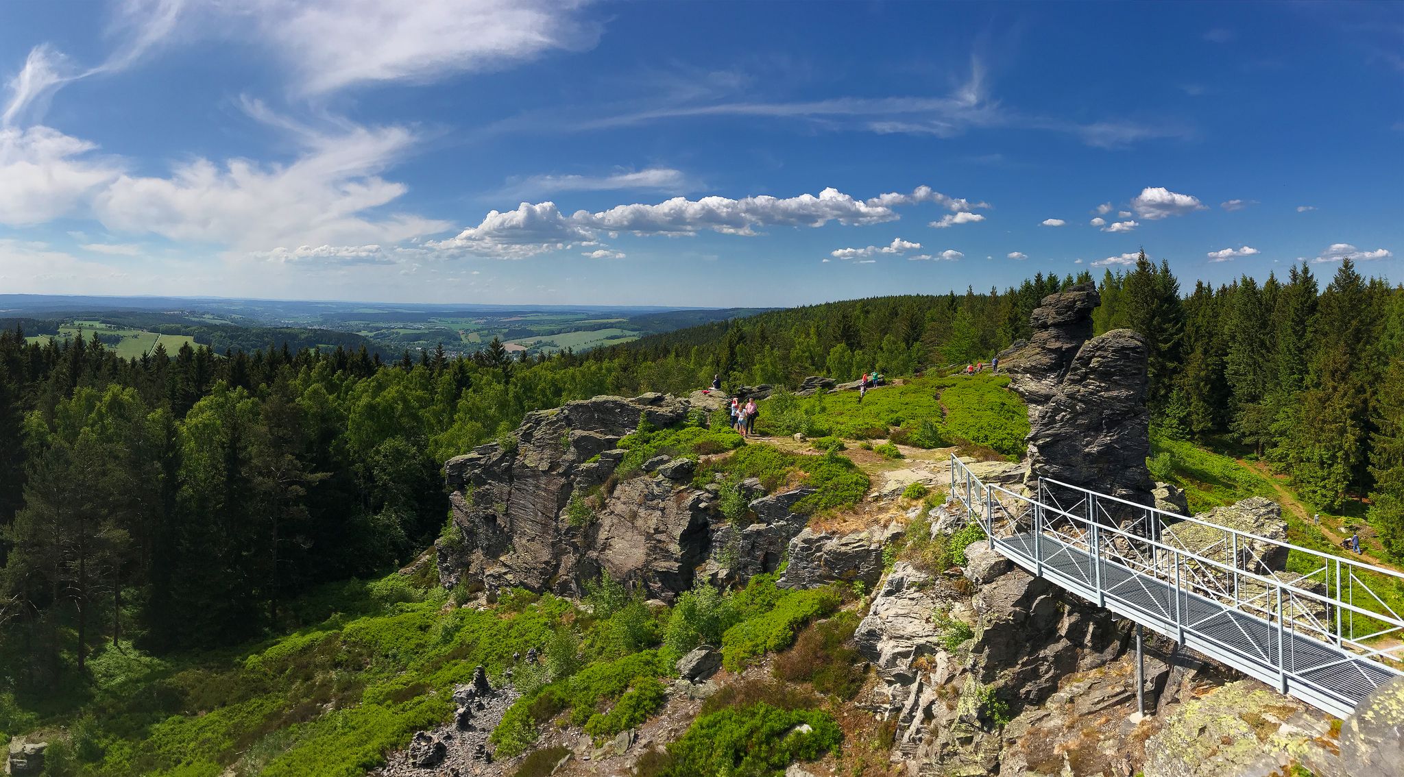
Easy hiking trails around Harth-Pöllnitz traverse a landscape characterized by rolling hills and dense forests within the Thuringian Vogtland. The region features several bodies of water, including Frießnitzer See and the Schwarzer Teich, with the Weiße Elster river flowing through. This diverse terrain offers varied hiking experiences, from gentle strolls to routes exploring areas like the "Finsterer Grund."
Best easy hiking trails around Harth-Pöllnitz
- The most popular easy hiking route is Am Struthbach Rest Area – Himmelsberg Information Board loop…
Last updated: June 30, 2026
2.8
(6)
14
hikers
Easy hike. Great for any fitness level. Easily-accessible paths. Suitable for all skill levels.
4.6
(11)
32
hikers
Easy hike. Great for any fitness level. Easily-accessible paths. Suitable for all skill levels.

Sign up for free
4.5
(4)
23
hikers
5.84km
01:36
90m
90m
Easy hike. Great for any fitness level. Easily-accessible paths. Suitable for all skill levels.
5.0
(2)
14
hikers
Easy hike. Great for any fitness level. Easily-accessible paths. Suitable for all skill levels.
5.0
(4)
9
hikers
6.75km
01:49
80m
80m
Easy hike. Great for any fitness level. Easily-accessible paths. Suitable for all skill levels.
Get access to more routes and recommendations from other explorers.
Sign up for free
Already have an account?
Our route recommendations are based on thousands of hikes, rides, and runs completed by other people on komoot.
Start today with a free account
Your next adventure awaits.
Login or Signup
Popular around Harth-Pöllnitz
Other adventures around Harth-Pöllnitz

Tips from the Community

It's a normal forest path. What's the highlight about it? By that criterion, one could draw hundreds more like it on komoot. What's the point?
0
0

Friendly staff, good food, and a perfect starting point for hikes.
15
0
A beautiful and idyllic place to take a break.
15
0
A beautiful and idyllic rest area in Grossebersdorf.
14
0
A nice rest area with an information board on the circular hiking trail.
12
0
It owes its nickname “sky goat” to the bleating sound produced by the vibration of the tail feathers during the male’s courtship flight.
12
0
The hike around Lake Frießnitzer is perfect for all nature lovers.
21
0

Frequently Asked Questions
How many easy hiking trails are available in Harth-Pöllnitz?
Harth-Pöllnitz offers over 30 easy hiking trails, making it an ideal destination for relaxed walks through its picturesque landscapes. In total, the region features more than 60 hiking routes across various difficulty levels.
What kind of terrain should I expect on easy hikes in Harth-Pöllnitz?
Easy hikes in Harth-Pöllnitz primarily traverse rolling hills and dense forests, characteristic of the Thuringian Vogtland. You'll find well-maintained paths with gentle elevation changes, suitable for a comfortable outdoor experience.
Are there any easy circular hiking routes in Harth-Pöllnitz?
Yes, Harth-Pöllnitz features several easy circular routes. For example, the Am Struthbach Rest Area – Himmelsberg Information Board loop from Frießnitz is a popular option. Another great choice is the Finsterer Grund Picnic Area – At Kamphausen Shelter loop from Bocka, which takes you through the distinctive 'Finsterer Grund' area.
Can I find trails that pass by lakes or rivers in Harth-Pöllnitz?
Absolutely. The region is dotted with bodies of water like Frießnitzer See and the mystical Schwarzer Teich, and the Weiße Elster river flows through the area. You can enjoy waterside walks, such as the Am Struthbach Rest Area – At Lake Frießnitz loop from Naturschutzgebiet Frießnitzer See-Struth, which circles Frießnitzer See.
Are the easy hiking trails in Harth-Pöllnitz suitable for families with children?
Yes, many of the easy hiking trails in Harth-Pöllnitz are well-suited for families. Their gentle gradients and manageable distances provide a pleasant experience for all ages. Routes around Frießnitzer See are particularly popular for family outings.
Are dogs allowed on the easy hiking trails in Harth-Pöllnitz?
Generally, dogs are welcome on the hiking trails in Harth-Pöllnitz. It's always a good idea to keep your dog on a leash, especially in nature protection areas or when encountering wildlife, and to respect local regulations.
What are some notable natural features or landmarks I can see on easy hikes?
Beyond the scenic rolling hills and forests, you can explore natural features like the 'Finsterer Grund' or the Schwarzer Teich. For specific landmarks, consider visiting the Untermhäuser Bridge Gera or the St. Marien Church (Untermhaus), both accessible from nearby areas.
When is the best time of year to go hiking in Harth-Pöllnitz?
The best times to experience the outdoor beauty of Harth-Pöllnitz are in spring and summer when the countryside is in full bloom, or in autumn, which offers vibrant foliage. These seasons provide comfortable temperatures and stunning natural scenery.
Are there options for parking near the easy hiking trails?
Yes, many trailheads for easy hikes in Harth-Pöllnitz offer convenient parking options. Specific parking information is often available on individual route pages on komoot, helping you plan your starting point.
How well-rated are the easy hiking trails in Harth-Pöllnitz by other hikers?
The hiking trails in Harth-Pöllnitz are highly rated by the komoot community, with an average score of 4.6 stars from over 600 reviews. Hikers often praise the well-maintained paths, diverse scenery, and the peaceful atmosphere of the region.
What is the typical length of an easy hike in Harth-Pöllnitz?
Easy hikes in Harth-Pöllnitz typically range from 2 to 5 miles (3 to 8 km). For instance, the Horse Head Shelter – Horse's Head loop from Bocka is about 3.6 miles (5.8 km), while the Black Pond – Horse's Head loop from Burkersdorf covers approximately 4.2 miles (6.8 km).
Are there any viewpoints or scenic overlooks on the easy trails?
While the easy trails focus on gentle exploration, the rolling hills naturally offer pleasant vistas of the Thuringian Vogtland. For more pronounced viewpoints, you might explore nearby highlights such as Geyerstein or the View from Teufelsberg of the Zeulenroda Reservoir, which are slightly outside the immediate Harth-Pöllnitz area but offer rewarding views.
Most popular routes around Harth-Pöllnitz
Most popular attractions around Harth-Pöllnitz

Get inspired with the komoot mobile app


Explore more
Browse the best Hikes in other regions.
