The best gravel rides around Harth-Pöllnitz
4.1
(10)
68
riders
24
rides
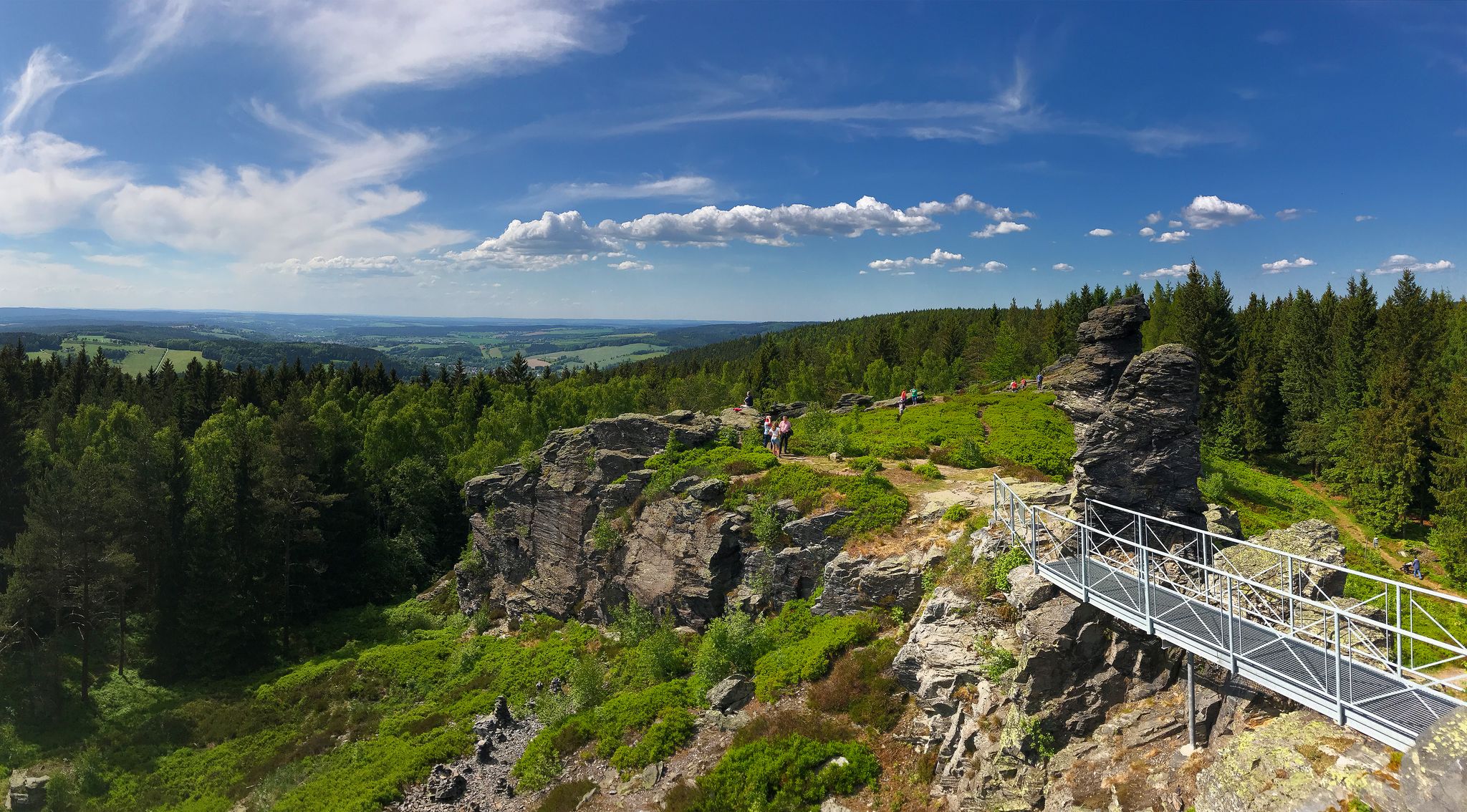
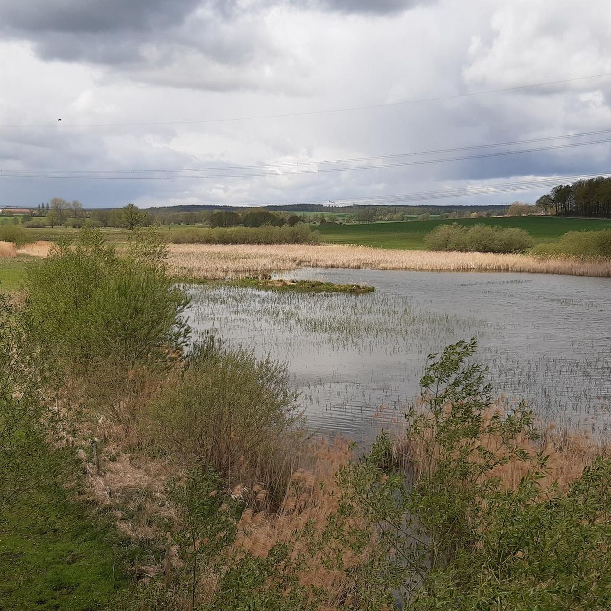
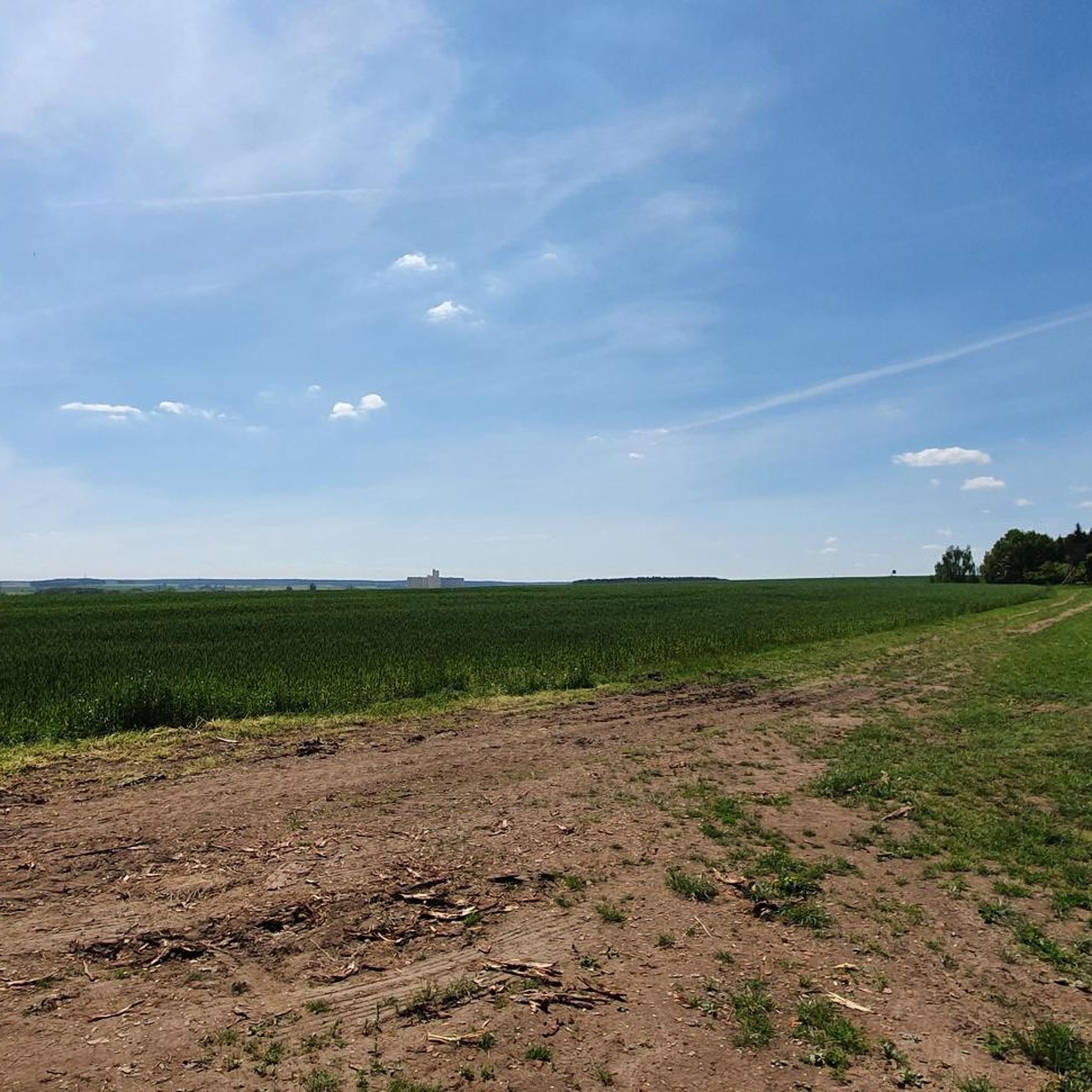
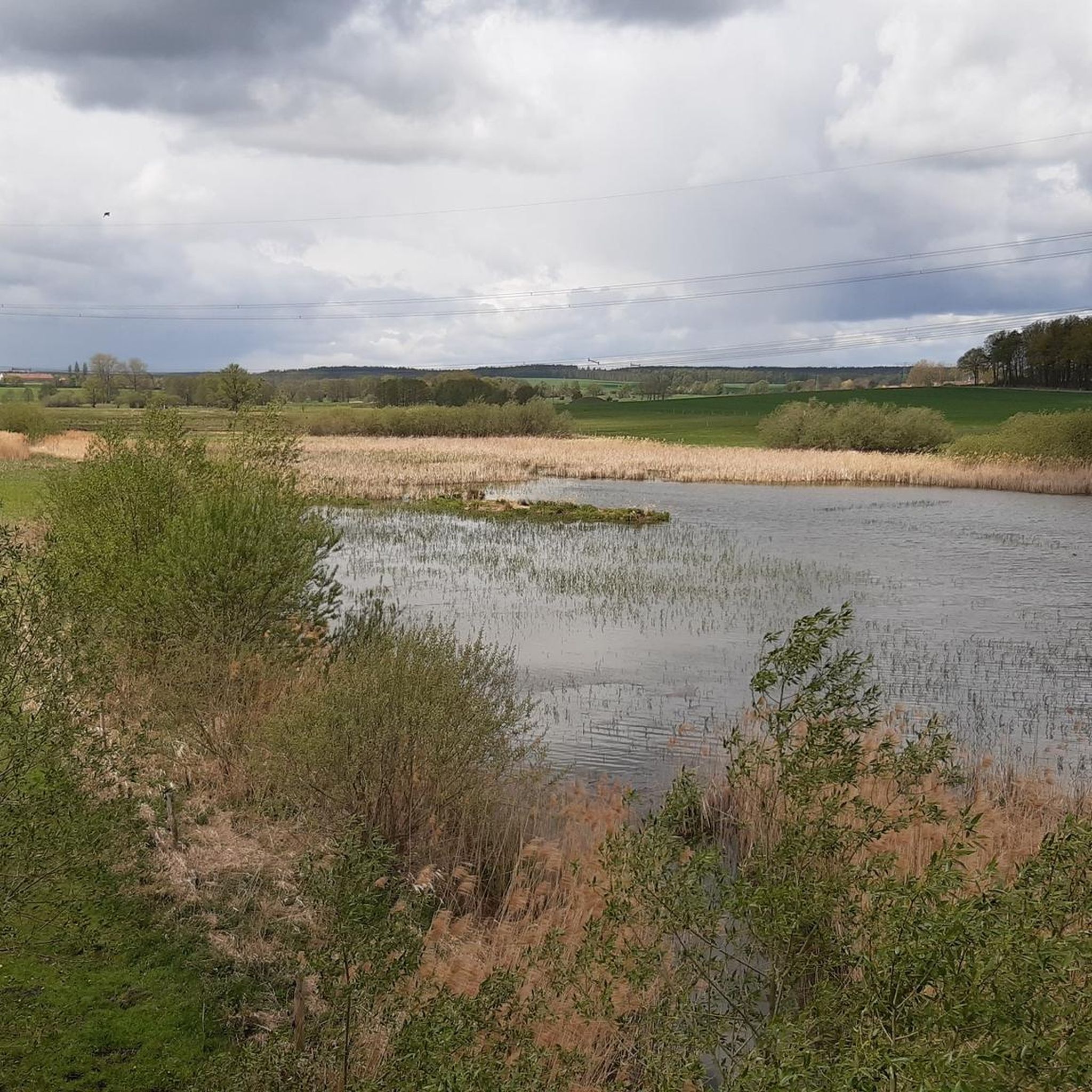
Gravel biking around Harth-Pöllnitz offers diverse terrain in the district of Greiz, Thuringia. The region features rolling hills and forests, with an average elevation of 320 meters above sea level. Routes often combine paved surfaces with gravel paths, providing varied challenges for different fitness levels. The landscape is shaped by river valleys, such as the White Elster, and numerous ponds.
Best gravel bike trails around Harth-Pöllnitz
- The most popular gravel bike trail is Brückentelefon Bridge – Wooden Swing Shelter Rest…
Last updated: July 3, 2026
3.7
(3)
17
riders
Moderate gravel ride. Good fitness required. Mostly paved surfaces. Suitable for all skill levels.
3.0
(1)
11
riders
Hard gravel ride. Very good fitness required. Mostly paved surfaces. Suitable for all skill levels.

Sign up for free
4.0
(2)
8
riders
40.5km
02:43
520m
520m
Hard gravel ride. Very good fitness required. Mostly paved surfaces. Suitable for all skill levels.
4.0
(2)
5
riders
34.6km
02:13
340m
340m
Moderate gravel ride. Good fitness required. Mostly paved surfaces. Suitable for all skill levels.
3
riders
35.7km
02:20
380m
380m
Hard gravel ride. Good fitness required. You may need to push your bike for some segments of this route.
Get access to more routes and recommendations from other explorers.
Sign up for free
Already have an account?
Our route recommendations are based on thousands of hikes, rides, and runs completed by other people on komoot.
Start today with a free account
Your next adventure awaits.
Login or Signup
Other adventures around Harth-Pöllnitz

Tips from the Community

The Pöllwitzer Wald – one of the largest contiguous forest areas in the region – extends in the surroundings of the municipality of Pöllwitz, which is today a district of the town of Zeulenroda-Triebes. The forest area is of great importance for nature-based tourism and local recreation in the Vogtland. Parts of the area are designated as an FFH protected area and are therefore subject to usage restrictions. The FFH area was reported to the EU in 2000 and has an area of 962 ha. https://www.zeulenroda-triebes.de/seite/566312/moorlehrpfad-p%C3%B6llwitzer-wald.html
0
0

Pick up stamp and do Kneipp therapy. Ideal in warm weather
0
0

There are some beautiful things to actively discover along the panoramic trail at Zeulenrodaer Meer 😊.
17
0
A lakeside stage overlooking the Zeulenroda reservoir. Events take place here several times a year.
16
0
Very nicely designed information point, especially for the kids.
8
0
A beautiful stilt house on the pond in Plothen 🤩.
17
0

Soak up the sun and enjoy the beauty of the landscape.
0
0

This is not Pirk, but the Zeulenroda Dam
1
0
Frequently Asked Questions
What kind of terrain can I expect on gravel bike trails around Harth-Pöllnitz?
The region features diverse terrain, including rolling hills and forests, with an average elevation of 320 meters above sea level. Routes often combine paved surfaces with gravel paths, offering varied challenges. You'll encounter river valleys, such as the White Elster, and numerous ponds, providing a mix of landscapes.
How difficult are the gravel bike trails in Harth-Pöllnitz?
Harth-Pöllnitz offers a good mix of challenges. About half of the 30 available routes are rated as moderate, while the other half are considered difficult. Some routes feature significant elevation gains, requiring good fitness and potentially advanced riding skills. For example, the Schöne Höhe Observation Tower – Wooden Swing Shelter Rest Area loop from Triebes is a difficult 44.4 km path with nearly 500 meters of elevation gain.
Are there any family-friendly gravel biking options in Harth-Pöllnitz?
While the region has many moderate and difficult routes, the varied terrain means there are likely sections suitable for families, especially on less technical paths or those with gentler inclines. Look for routes that are shorter and have less elevation gain. The area's picturesque landscapes and natural features like the Frießnitzer See offer pleasant surroundings for a family outing.
What interesting landmarks or natural features can I see along the gravel bike routes?
Harth-Pöllnitz is rich in natural and historical sights. You might encounter the unique Weida Dam or the tranquil Auma Reservoir. The region also boasts viewpoints like Geyerstein, and even a Gera waterfall. Beyond the trails, consider visiting Burgk Castle or the Wünschendorf (Elster) Covered Bridge.
Are there any circular gravel bike routes available?
Yes, many of the gravel bike routes in Harth-Pöllnitz are designed as loops. For instance, the popular Brückentelefon Bridge – Wooden Swing Shelter Rest Area loop from Weißendorf is a moderate 24.6 km circular trail. Another option is the Fürstenteich with swans – Hausteichhaus Plothen loop from Auma, which is a moderate 35.3 km loop.
What do other gravel bikers say about the trails in Harth-Pöllnitz?
The gravel biking routes in Harth-Pöllnitz are highly regarded by the komoot community, with an average rating of 4.2 out of 5 stars from over 20 reviews. Riders often praise the varied terrain, the mix of paved and gravel sections, and the beautiful natural scenery of rolling hills and forests.
What is the best time of year for gravel biking in Harth-Pöllnitz?
The region's varied landscape with forests and rolling hills makes it enjoyable across multiple seasons. Spring and autumn offer pleasant temperatures and vibrant scenery, while summer provides longer daylight hours. Winter conditions might present challenges due to snow or ice, especially on more technical sections or higher elevations.
Are there any routes that pass by water features?
Absolutely. The region is characterized by river valleys and numerous ponds. The Wooden Swing Shelter Rest Area – Weida Dam loop from Zadelsdorf, for example, leads through rolling hills and past significant water features like the Weida Dam. You can also find routes around the Frießnitzer See or the Auma Reservoir.
Where can I find parking for gravel biking trails in Harth-Pöllnitz?
While specific parking locations for each trail are best checked on individual komoot tour pages, the municipality comprises sixteen villages. Many routes start from or pass through these villages, which often provide local parking opportunities. Consider starting points like Weißendorf, Triebes, Zadelsdorf, or Auma, which are common starting points for tours in the area.
Are there any routes suitable for beginners in gravel biking?
For beginners, it's advisable to start with the moderate-difficulty routes that have less elevation gain. The Pöllwitz Pond – At Röderberg Shelter loop from Triebes is a moderate 26.8 km route with 238 meters of elevation, which could be a good starting point to experience the region's gravel terrain without excessive challenge.
Can I find cafes or pubs along the gravel bike routes in Harth-Pöllnitz?
The municipality includes sixteen villages, some of which feature traditional farmhouses. While specific cafes or pubs on every route are not guaranteed, passing through these villages or starting from them often provides opportunities for refreshments. It's a good idea to check the komoot tour details or local maps for amenities in the villages along your chosen route.
Most popular routes around Harth-Pöllnitz
Most popular attractions around Harth-Pöllnitz

Get inspired with the komoot mobile app


Explore more
Browse the best Gravel rides in other regions.
