Easy hikes and walks around Wolfhagen
4.5
(1235)
4,518
hikers
209
hikes
Easy hiking trails around Wolfhagen traverse a landscape characterized by diverse natural features, including tranquil brooks, verdant meadow valleys, and extensive forests. The region features rolling hills, dense woodlands, and picturesque riverbanks, offering varied terrain for hikers. Notable areas like the Wolfhager Stadtwald present ancient sandstone quarries, numerous springs, and old oak trees. The Hoher Dörnberg, a prominent natural monument, features unique geological formations and juniper heaths, providing a range of environments for exploration.
Best easy hiking trails around Wolfhagen
…Last updated: October 3, 2026
4.7
(27)
77
hikers
3.35km
01:01
110m
110m
Easy hike. Great for any fitness level. Easily-accessible paths. Suitable for all skill levels.
4.6
(34)
105
hikers
6.51km
01:45
80m
80m
Easy hike. Great for any fitness level. Easily-accessible paths. Suitable for all skill levels.

4.9
(23)
68
hikers
Easy hike. Great for any fitness level. Easily-accessible paths. Suitable for all skill levels.
4.9
(20)
78
hikers
5.11km
01:30
150m
150m
Easy hike. Great for any fitness level. Easily-accessible paths. Suitable for all skill levels.
4.6
(13)
82
hikers
3.85km
01:12
150m
150m
Easy hike. Great for any fitness level. Easily-accessible paths. Suitable for all skill levels.
Get access to more routes and recommendations from other explorers.
Already have an account?
Our route recommendations are based on thousands of hikes, rides, and runs completed by other people on komoot.
Other adventures around Wolfhagen

Tips from the Community

Wonderful place to observe cattle and birds
0
0

Not only a very nicely located rest stop, but food will also be delivered on request. 👍
0
0

Small door on a tree root 🌳 on the path up to Weidelsburg ruin 🏰. Nice idea 💡 for children, but also for adults. 😁
0
0

You can have food brought to this place and enjoy nature. Of course, the weather should be suitable.
0
1

New XXL break bench
0
0
Unfortunately, the hut and the bridge have not existed for quite some time.
1
0

small parking lot directly at the nature reserve
1
0

The Stöcketeich is a small pond measuring approximately 75 × 60 m in the city forest of Wolfhagen in the Kassel district of northern Hesse and in the Habichtswald Nature Park. Source: Wikipedia
11
0
Frequently Asked Questions
How many easy hiking trails are available in Wolfhagen?
Wolfhagen offers a wide selection of easy hiking trails, with over 120 routes specifically categorized as easy. In total, there are more than 200 hiking routes in the region, catering to various preferences and abilities.
What do other hikers say about the easy trails in Wolfhagen?
The easy hiking trails in Wolfhagen are highly regarded by the komoot community, boasting an average rating of 4.6 stars from over 1000 reviews. More than 4000 hikers have explored Wolfhagen's diverse terrain using komoot, often praising the tranquil woodlands, picturesque riverbanks, and well-maintained paths.
What is the best time of year for easy hikes in Wolfhagen?
The most pleasant seasons for easy hiking in Wolfhagen are spring and autumn. During these times, temperatures are moderate, and the natural surroundings are particularly vibrant, with blooming flowers in spring and colorful foliage in autumn. These seasons offer ideal conditions for enjoying the region's diverse landscapes.
Are there easy hikes that pass by historical sites or castles?
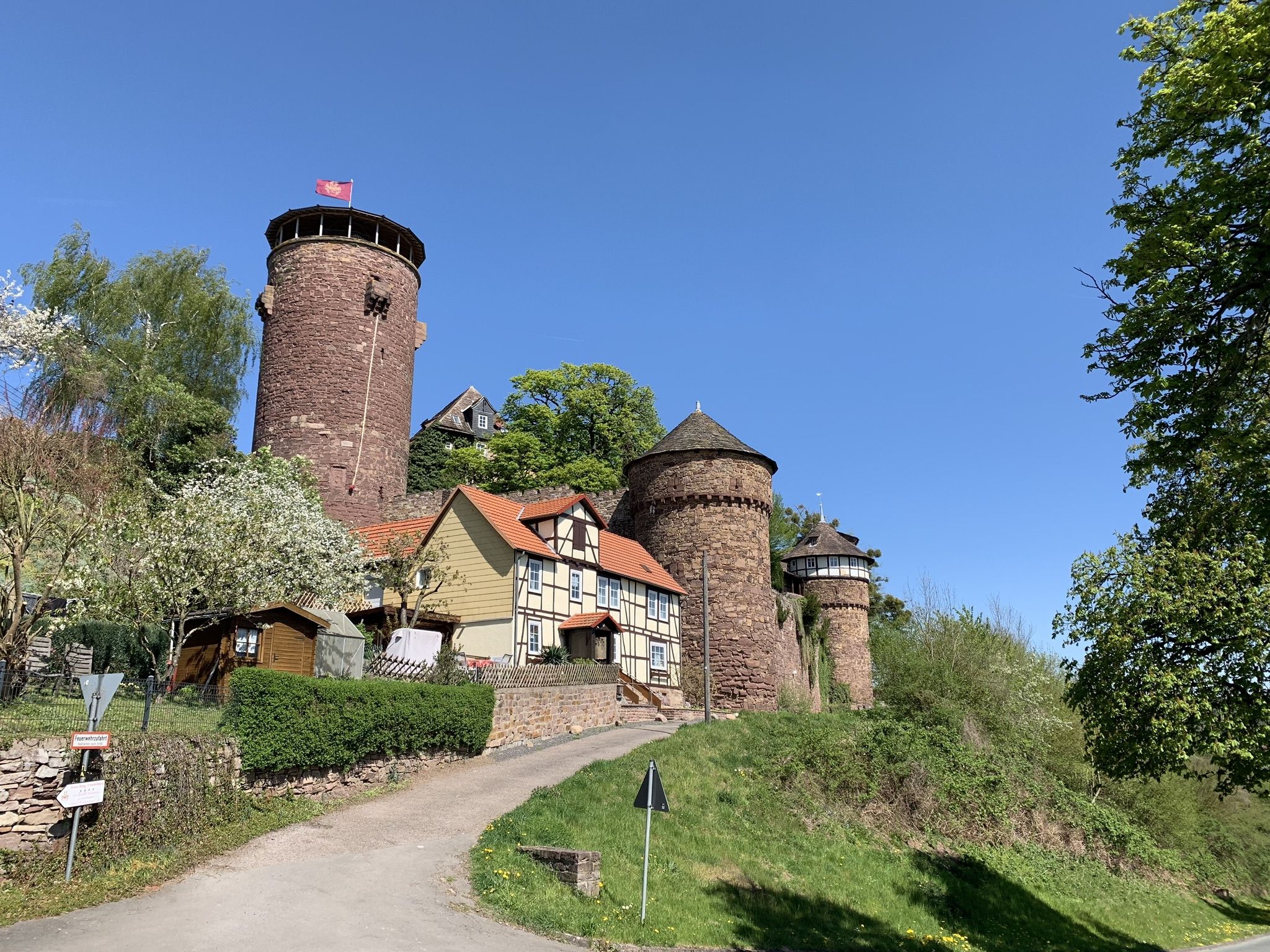
Yes, several easy hikes in Wolfhagen lead to significant historical sites. For example, the Katzenloch Basalt Quarry – Weidelsburg Castle loop from Weidelsberg offers views of the historic Weidelsburg Castle. The region also features the impressive moated castle Elmarshausen and the Gothic town church St. Anna, which can be explored in conjunction with nearby trails.
Can I find easy circular hiking routes in Wolfhagen?
Absolutely. Many easy trails in Wolfhagen are designed as circular routes, allowing you to start and end at the same point. Popular options include the Ancient Giant Oaks – Stöcketeich Pond loop from Leckringhausen, which is 4.0 miles (6.5 km) long, and the Glockenborn Nature Reserve – Dragon Cave at Graner Berg loop from Glockenborn bei Bründersen, covering 4.1 miles (6.6 km).
Are there any easy trails suitable for families with children?
Wolfhagen offers several family-friendly easy trails. The Fairytale Land Trail, part of the German Fairy Tale Route, is particularly appealing for families, as it winds through the Reinhardswald, recounting stories from the Brothers Grimm and featuring charming figures along the route. The town center also has a 'fairy tale fountain' depicting 'The wolf and the seven young kids'.
Are dogs allowed on the easy hiking trails in Wolfhagen?
Generally, dogs are welcome on most hiking trails in Wolfhagen, especially on easy routes through forests and open landscapes. It's always recommended to keep dogs on a leash, especially in nature reserves or areas with livestock, and to respect local regulations. Please ensure you clean up after your pet.
What natural features can I expect to see on easy hikes around Wolfhagen?
Easy hikes in Wolfhagen showcase a variety of natural features. You'll encounter tranquil brooks, verdant meadow valleys, extensive pine and hardwood forests, and serene ponds like the Rödeser Pond. The Hoher Dörnberg features unique juniper heaths and geological formations, while the Wolfhager Stadtwald boasts ancient sandstone quarries and majestic old oak trees.
Are there easy hikes with good viewpoints in Wolfhagen?
Yes, the region offers easy hikes that lead to scenic viewpoints. The Hoher Dörnberg, for instance, provides expansive views over the landscape. While not all easy trails are specifically designed for grand vistas, many offer charming outlooks over the rolling hills and picturesque valleys characteristic of Wolfhagen.
Are there cafes or pubs near the easy hiking trails in Wolfhagen?
While specific cafes or pubs directly on every easy trail might be limited, Wolfhagen's strategic location means that many routes are accessible from or lead back towards the town center or smaller villages. Here, you can find various establishments to relax and refuel after your hike. It's advisable to check local listings for options along your chosen route.
What is the shortest easy hike available in Wolfhagen?
One of the shortest easy hikes is the Katzenloch Basalt Quarry – Weidelsburg Castle loop from Weidelsberg. This trail is approximately 2.2 miles (3.6 km) long and can typically be completed in just over an hour, making it perfect for a quick, enjoyable outing.
Are there easy hikes accessible by public transport in Wolfhagen?
Wolfhagen has public transport connections that can provide access to various trailheads. While specific routes may require a short walk from a bus stop, the region's well-connected network makes it possible to reach many starting points without a car. It's recommended to check local bus schedules and routes for the most convenient access to your chosen easy hike.
Where can I find parking for easy hiking trails in Wolfhagen?
Many easy hiking trails in Wolfhagen, especially those starting from villages or popular attractions, offer designated parking areas. For example, routes like the Katzenloch Basalt Quarry – Weidelsburg Castle loop from Weidelsberg often have parking available near their starting points. It's always a good idea to check the specific route details for parking information before you go.
Most popular routes around Wolfhagen
Most popular attractions around Wolfhagen

Get inspired with the komoot mobile app


Explore more
Browse the best Hikes in other regions.
