Easy hikes and walks around Obersulm
4.6
(1352)
7,094
hikers
133
hikes
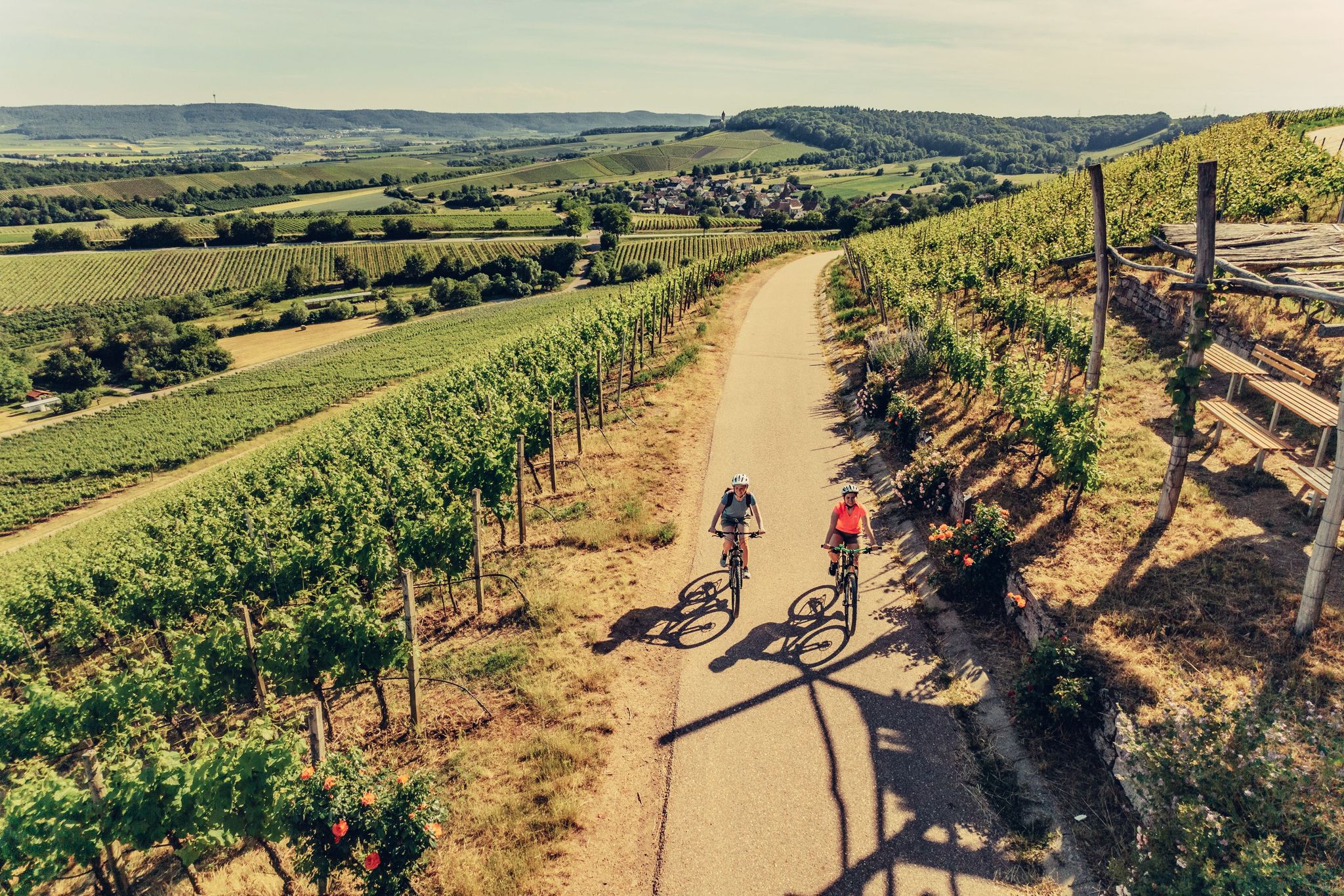
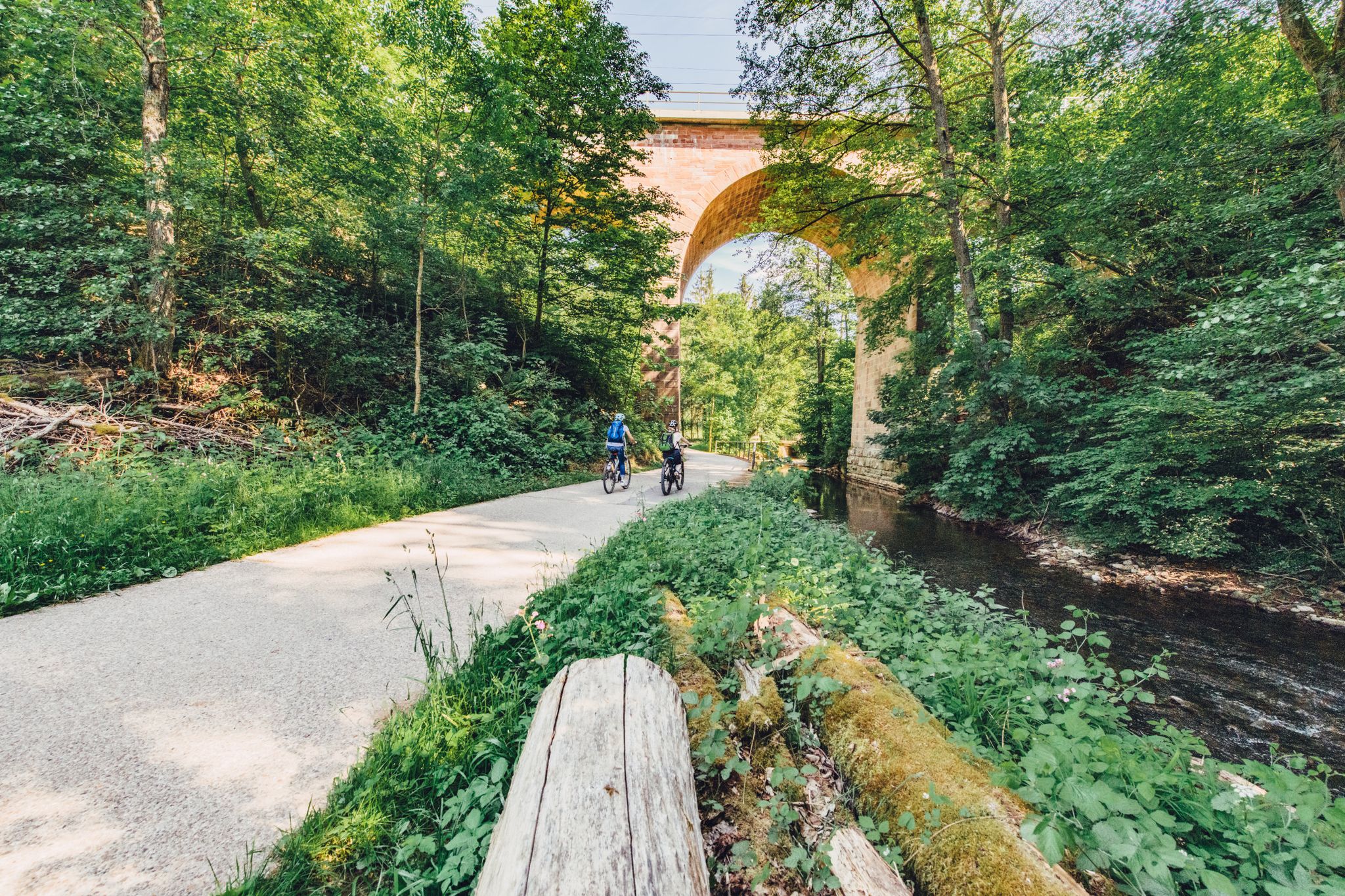
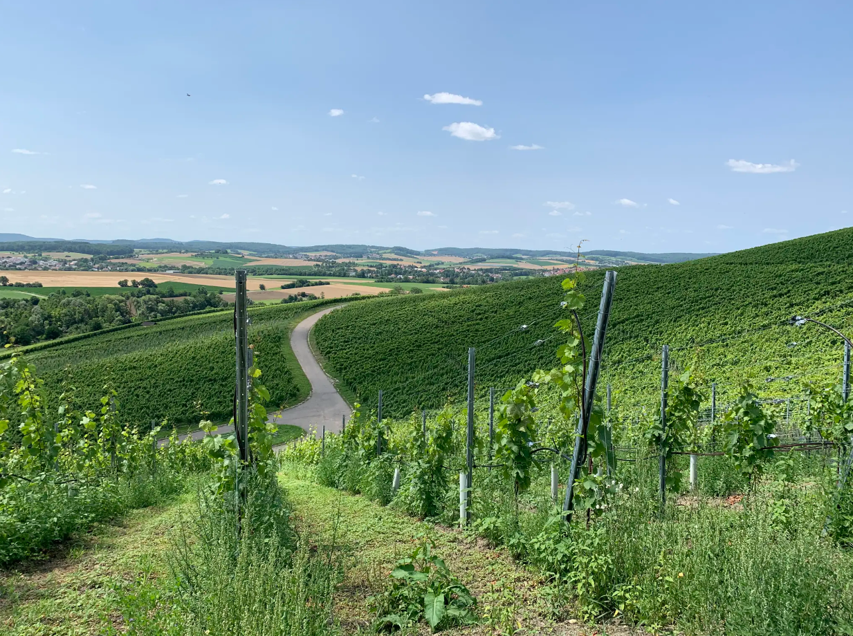
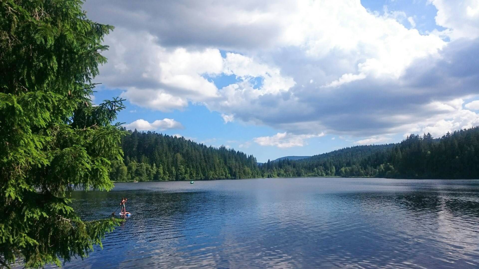
Easy hiking trails around Obersulm traverse a landscape characterized by extensive vineyards, rolling hills, and the scenic Breitenauer See. Situated at the foot of the Löwensteiner Berge, the region offers varied terrain including forests, meadows, and lake views. Obersulm also lies on the northwestern edge of the Schwäbisch-Fränkischer Wald Nature Park, providing a rich natural environment for exploration. This area features well-marked paths suitable for accessible outdoor experiences.
Best easy hiking trails around Obersulm
- The most popular easy hiking route…
Last updated: June 30, 2026
4.6
(432)
2,224
hikers
Easy hike. Great for any fitness level. Easily-accessible paths. Suitable for all skill levels.
4.8
(43)
174
hikers
Easy hike. Great for any fitness level. Easily-accessible paths. Suitable for all skill levels.

Sign up for free
4.7
(17)
62
hikers
Easy hike. Great for any fitness level. Easily-accessible paths. Suitable for all skill levels.
4.4
(8)
37
hikers
7.08km
01:57
120m
120m
Easy hike. Great for any fitness level. Easily-accessible paths. Suitable for all skill levels.
4.7
(23)
65
hikers
Easy hike. Great for any fitness level. Easily-accessible paths. Suitable for all skill levels.
Get access to more routes and recommendations from other explorers.
Sign up for free
Already have an account?
Our route recommendations are based on thousands of hikes, rides, and runs completed by other people on komoot.
Start today with a free account
Your next adventure awaits.
Login or Signup
Other adventures around Obersulm


Tips from the Community

Very nice spot with a view of Lehrensteinsfeld. A table with benches is available for a picnic, and a beautiful wooden lounger to enjoy the sunset in the evening
0
0

Beautiful sandy swimming beach.
1
0

The title is incorrect: Wine and Forest Adventure Trail in Obersulm-Affaltrach on the Zeilberg
0
0
Nice place for a short break 🥰
0
0

The flower fields where you can cut your own flowers are always a feast for the eyes. As long as the payment is based on trust, everything is fine.
3
0
There are two large boards at the information point. One describes the dam and the data about it and the second provides information about the important points on the lake (beach, harbor, fishing piers, etc.)
11
0
From the lake shore you also have a great view of the vineyards and the surrounding area.
6
0
Frequently Asked Questions
How many easy hiking trails are there in Obersulm?
Obersulm offers a wide selection of easy hiking trails, with over 80 routes specifically categorized as easy. In total, there are more than 130 hiking routes available in the region, catering to various preferences and fitness levels.
Are there family-friendly easy hikes in Obersulm?
Yes, Obersulm is an excellent destination for family-friendly easy hikes. Many trails are designed to be accessible for all ages, often featuring gentle slopes and scenic views. The circular path around the Breitenauer See, for example, is a popular choice, offering playgrounds and sunbathing lawns, making it ideal for families.
Can I bring my dog on easy hikes in Obersulm?
Most easy hiking trails in Obersulm are dog-friendly, allowing you to explore the beautiful landscapes with your canine companion. It's generally recommended to keep dogs on a leash, especially in nature reserves like the Autal, or near vineyards and agricultural areas. Always ensure you carry water for your dog and clean up after them.
Are there easy circular hiking routes around Obersulm?
Yes, Obersulm features numerous easy circular hiking routes. A prime example is the Lake Breitenauer – Breitenauer Lake loop from Gemeindeverwaltung Obersulm, which offers a pleasant 4.6 km walk around the lake. Another popular option is the Kirschenallee Picnic Shelter – View of Breitenauer See loop from Schloss Eschenau, providing diverse perspectives of the lake and surrounding valley.
What natural attractions can I see on easy hikes in Obersulm?
Easy hikes in Obersulm allow you to experience diverse natural attractions. You'll encounter extensive vineyards, rolling hills, and the expansive Breitenauer See. The region is also at the foot of the Löwensteiner Berge and borders the Schwäbisch-Fränkischer Wald Nature Park, offering varied landscapes of forests, meadows, and lake views. The Autal Nature Reserve is particularly known for its magnificent wildflower meadows in spring.
Are there any specific points of interest or landmarks along these easy trails?
Yes, several easy trails in Obersulm pass by interesting points. You might encounter the Wall of sayings on the Rose and Wine Hiking Trail, or enjoy views from the Juxkopf Tower. Some routes also offer glimpses of historic sites like Weiler zum Stein Castle or the half-timbered houses in Affaltrach's town center.
What is the Breitenauer See, and can I hike around it easily?
The Breitenauer See is the largest lake in the Stuttgart administrative region by permanent water surface and a central attraction in Obersulm. Yes, you can easily hike around it; a popular four-kilometer circular path is perfect for walking or jogging, offering scenic views framed by vineyards and forested hills. The area also provides various water sports and recreational facilities.
Where can I find parking for easy hikes in Obersulm, especially near the Breitenauer See?
Parking is generally available at popular trailheads and attractions in Obersulm. For hikes around the Breitenauer See, there are designated parking areas, often near the main recreational facilities or starting points of circular routes. Specific parking information can usually be found on local signage or detailed route descriptions.
What do other hikers say about the easy trails in Obersulm?
The easy trails in Obersulm are highly rated by the komoot community, with an average score of 4.7 stars from over 1100 reviews. Hikers often praise the well-marked paths, the picturesque vineyard landscapes, and the beautiful views of the Breitenauer See. The variety of terrain, from forests to open meadows, is also frequently highlighted.
Are there any easy trails that go through vineyards in Obersulm?
Absolutely. Obersulm is renowned for its extensive vineyards, and many easy hiking trails, such as sections of the Württemberg Wine Hiking Trail, meander directly through them. These routes offer stunning backdrops and often provide opportunities to enjoy local wines at traditional taverns, especially during the annual wine festival in Willsbach.
What is the best time of year to enjoy easy hikes in Obersulm?
The best time to enjoy easy hikes in Obersulm is typically from spring to autumn. Spring brings magnificent wildflower meadows, especially in the Autal Nature Reserve, while summer offers lush greenery and opportunities for water activities at the Breitenauer See. Autumn is particularly beautiful with the changing colors of the vineyards and forests, and the region's wine festivals.
Are there any cafes or places to eat near the easy hiking trails in Obersulm?
Yes, Obersulm offers various options for refreshments. Many trails, especially those through vineyards, pass by traditional taverns or 'Besenwirtschaften' where you can taste local wines and food. Around the Breitenauer See, you'll find facilities that include cafes and snack bars. The town centers of Obersulm's districts also have restaurants and cafes.
Are there any easy trails with gorges or unique rock formations?
For those seeking a slightly more rugged, yet still manageable, experience, the Hüttlenwald Gorge near Obersulm offers a unique landscape. While some sections might be steeper, it features rope-secured paths, a small waterfall, and intriguing cavernous sandstone structures, providing a different kind of natural beauty within the easy hiking context.
Most popular routes around Obersulm
Most popular attractions around Obersulm

Get inspired with the komoot mobile app


Explore more
Browse the best Hikes in other regions.
