The best mountain hikes around Obersulm
3
hikers
3
hikes
Mountaineering routes around Obersulm traverse a landscape characterized by rolling hills, dense woodlands, and scenic valleys. The region features varied terrain, including gorges and notable rock formations, offering diverse experiences for mountaineers. Elevation gains are moderate, making the area accessible for different skill levels. The trails often lead through natural areas, providing opportunities to explore the local environment.
Best mountaineering routes around Obersulm
- The most popular mountaineering route is Tobelschlucht Fountain – Tobel Gorge and the Hollow Stone loop from…
Last updated: July 2, 2026
1
hikers
5.23km
01:34
150m
150m
Hard mountaineering route. Great for any fitness level. Sure-footedness, sturdy shoes and alpine experience required.
2
hikers
Moderate mountaineering route. Good fitness required. Easily-accessible paths. Suitable for all skill levels.

Sign up for free
6.76km
01:59
180m
190m
Easy mountaineering route. Great for any fitness level. Easily-accessible paths. Suitable for all skill levels.
Our route recommendations are based on thousands of hikes, rides, and runs completed by other people on komoot.
Start today with a free account
Your next adventure awaits.
Login or Signup
Popular around Obersulm
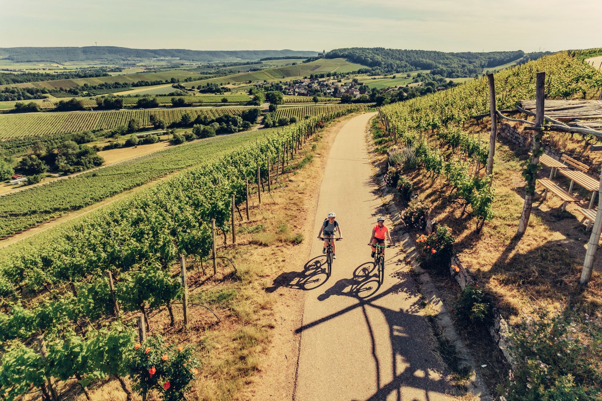
E-bike day Tours along the Tauber, Kocher, Jagst and Neckar rivers
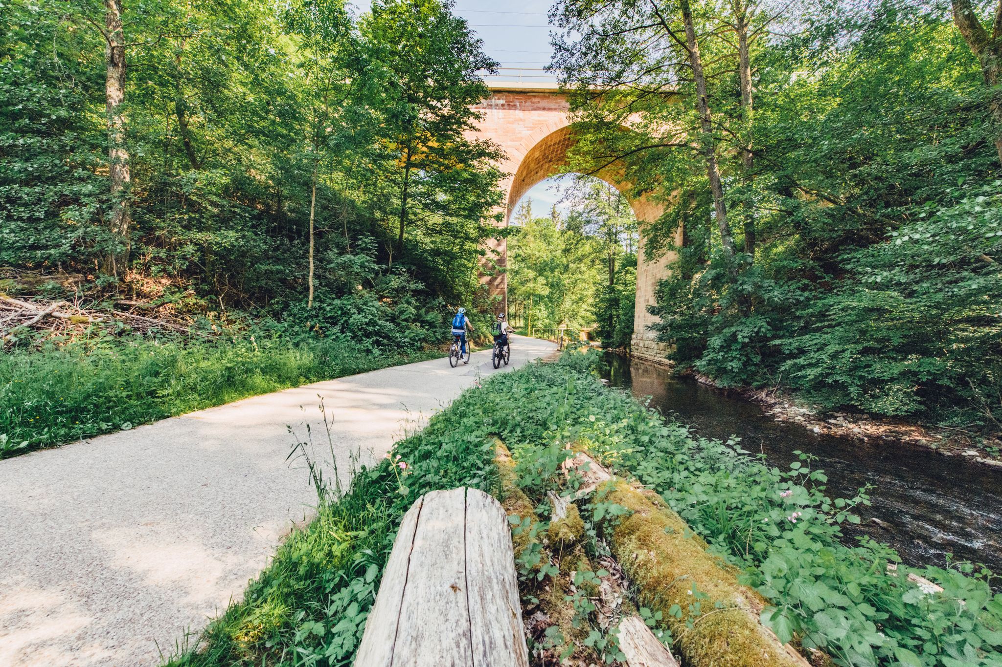
Weekend rides along the Kocher, Jagst and Neckar rivers in Germany
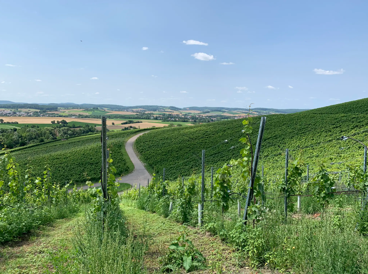
Cycle through vineyards on Germany’s Württemberg Wine Cycle Route
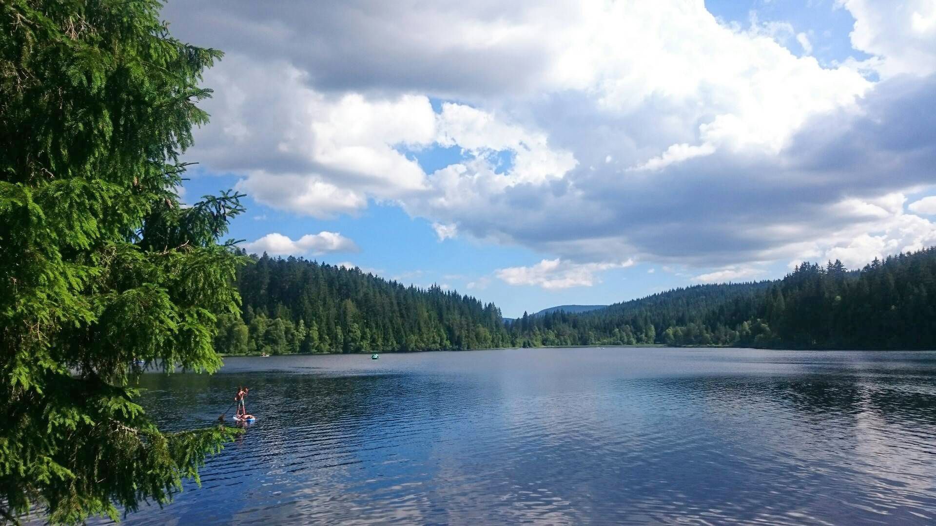
The best swimming lakes in Baden-Württemberg
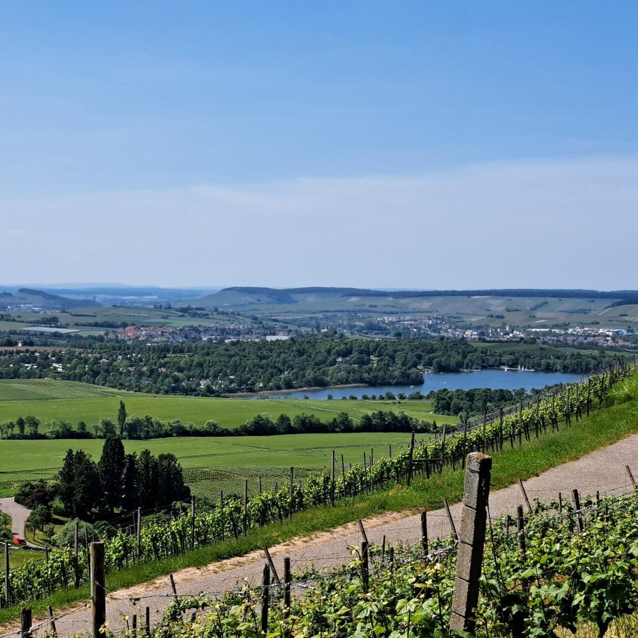
Cycling around Obersulm
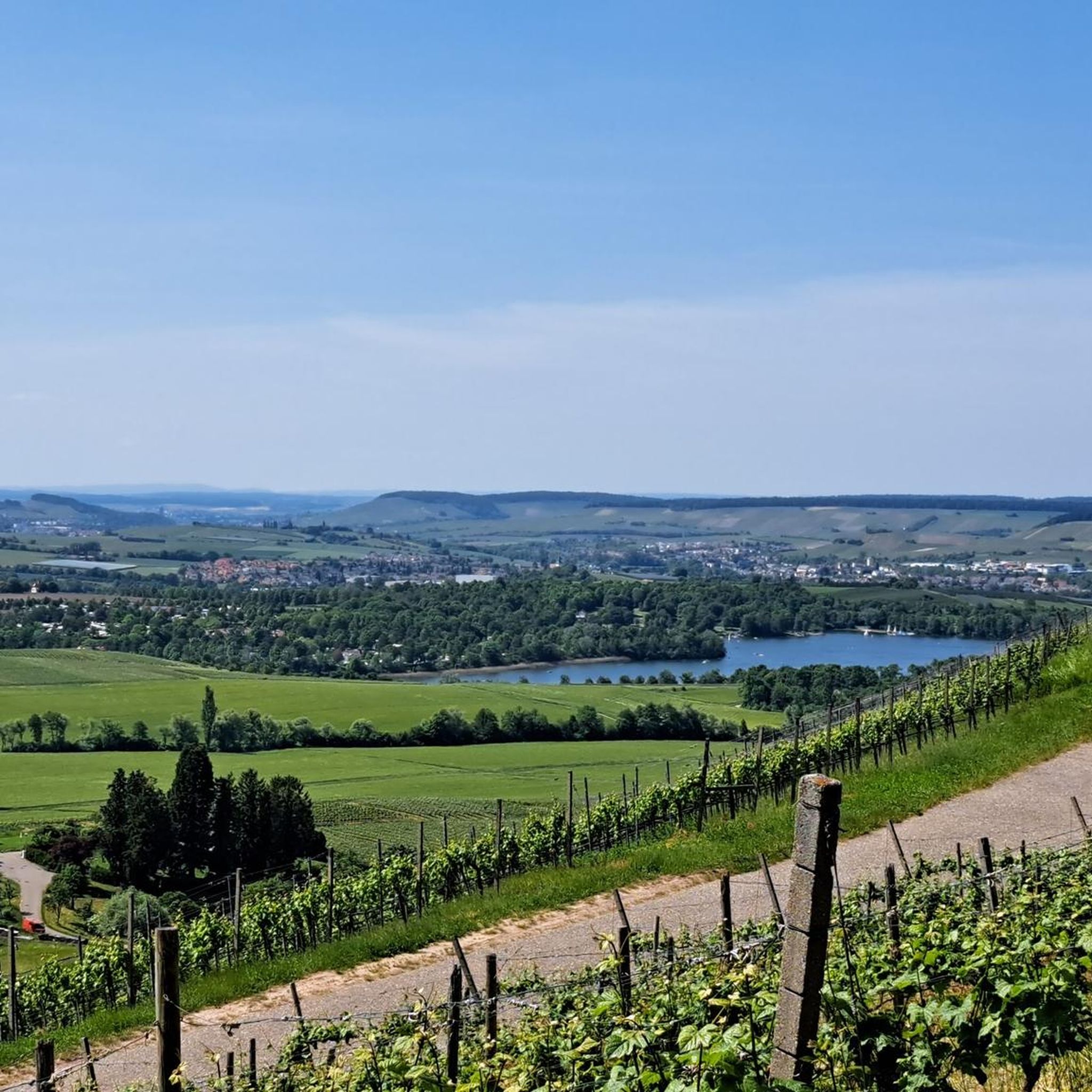
Hiking around Obersulm
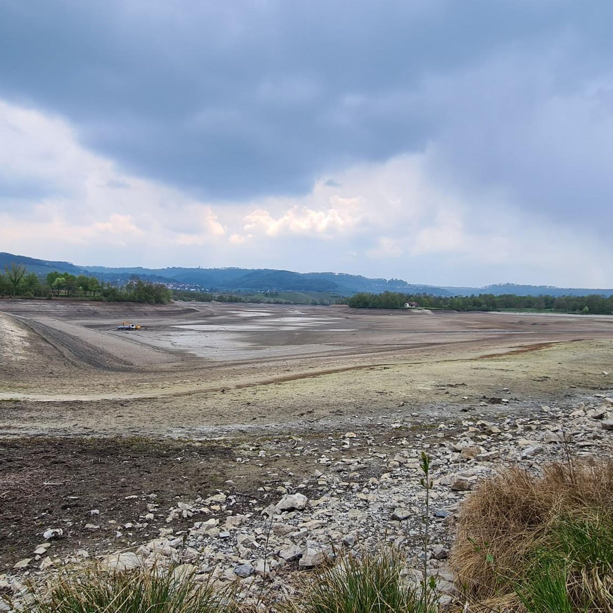
Road Cycling Routes around Obersulm
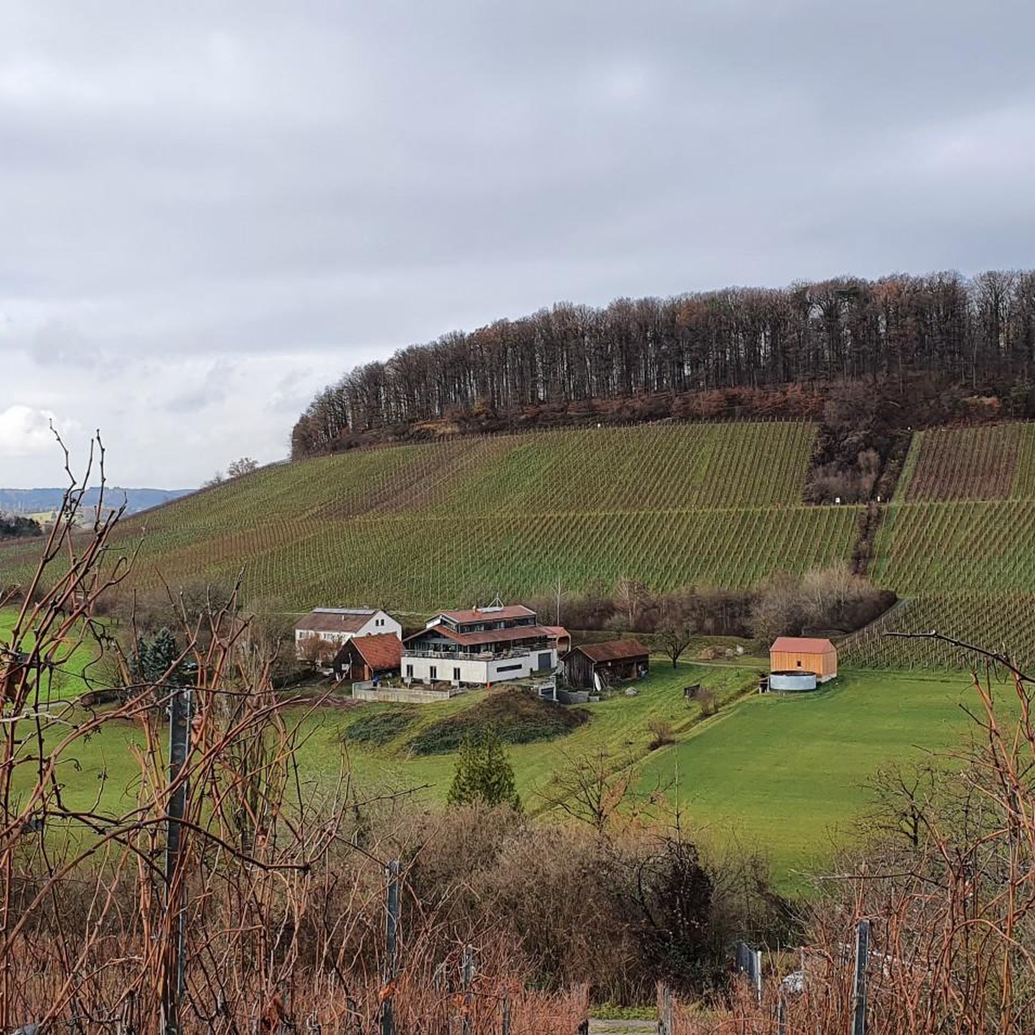
Running Trails around Obersulm
MTB Trails around Obersulm

Gravel biking around Obersulm
Other adventures around Obersulm


Tips from the Community

The language of the following quote may seem a little dated to us, but surely many hikers will be able to relate to the words of Josef Hofmiller (Dr. phil., 1872-1933): „... that is what hiking is: When do we ever feel so filled with life to the brim, to overflowing, as on a hike? We breathe more freely, our blood pulses more joyfully, the world seems more colorful and richer to us, happiness sings ahead of us from tree to tree like a finch...“
0
0

A welcome passage
1
0

The bench by the pond invites you to take a relaxing rest. Here you can unwind.
0
1
Sturdy shoes!
1
0


Tanzplatzhütte as a large shelter with seating and a different, tent-like design.
6
0

A nice way to cool down in the summer.
0
0

This path is even cooler in summer than the Bodenbach Gorge
4
0
Frequently Asked Questions
What kind of terrain can I expect on mountaineering routes in Obersulm?
Mountaineering routes around Obersulm traverse a landscape characterized by rolling hills, dense woodlands, and scenic valleys. You'll encounter varied terrain, including gorges and notable rock formations, offering diverse experiences. Elevation gains are generally moderate, making the area accessible for different skill levels.
Are there mountaineering routes suitable for beginners in Obersulm?
Yes, Obersulm offers routes suitable for beginners. For an easier option, consider the Steinernes Sofa loop from Enzwiese. This 4.2-mile (6.8 km) trail leads through woodlands to a distinctive rock formation and is typically completed in under two hours.
Are there more challenging mountaineering routes for experienced hikers?
For those seeking a more challenging experience, the Tobelschlucht Fountain – Tobel Gorge and the Hollow Stone loop from Wüstenrot is a difficult 3.2-mile (5.2 km) route. It explores a scenic gorge with a fountain and unique rock features, requiring about 1 hour 34 minutes to complete.
Are there any circular mountaineering routes in Obersulm?
Yes, all the routes featured in this guide are circular. For example, the Dance Square on Salzweg – Shelter on the Salzweg loop from Abgebrannte Eiche is a moderate 6.6-mile (10.7 km) circular path that follows an old salt route, offering varied forest and open views.
What interesting natural sights can I see along the mountaineering routes?
The Obersulm region is rich in natural beauty. You can explore the dramatic Hüttlenwald Gorge or the unique rock formations of the Tobel Gorge and the Hollow Stone. The Hohler Stein Erosion Natural Monument is another notable geological feature.
Are there any lakes or water features to discover on these routes?
Yes, the area features beautiful lakes. You can find the Breitenauer Lake and Lake Anna, which are lovely spots to visit and often accessible from nearby trails.
Are there any huts or shelters along the mountaineering trails in Obersulm?
Yes, you can find several huts and shelters. Notable spots include the Juxkopf Tower and Juxkopf Hut, the Steinernes Häusle, and the Naturfreundehaus Steinknickle and Steinknickle Tower, which can offer a place to rest or enjoy a break.
What is the best season for mountaineering in Obersulm?
The rolling hills and woodlands of Obersulm are enjoyable throughout the warmer months, typically from spring through autumn. Spring brings blooming flora, while autumn offers vibrant foliage. Summer is also popular, but be prepared for potentially warmer temperatures.
Are there any less crowded mountaineering trails in Obersulm?
While the routes in this guide are popular, exploring during off-peak hours or weekdays can offer a more tranquil experience. The Steinernes Sofa loop from Enzwiese, being a moderate length, might offer quieter moments, especially outside of peak weekend times.
Are the mountaineering routes in Obersulm suitable for families?
Many of the routes in Obersulm, with their moderate elevation gains and well-defined paths, can be suitable for families. The Steinernes Sofa loop from Enzwiese is a good option for families looking for an easier, shorter walk with an interesting rock formation as a destination.
Can I bring my dog on the mountaineering trails in Obersulm?
Generally, dogs are welcome on most public trails in the Obersulm region, provided they are kept on a leash and you clean up after them. It's always a good idea to check specific local regulations or signage at trailheads, especially in nature reserve areas.
Are there options for public transport to reach mountaineering trailheads in Obersulm?
Obersulm has local bus connections that can help you reach various points in the region. While direct access to every trailhead by public transport might be limited, researching specific bus routes to villages near your chosen starting point is recommended. Some routes might require a short walk from the nearest bus stop.
Where can I find parking for mountaineering routes in Obersulm?
Most trailheads or nearby villages in the Obersulm area offer designated parking spaces for hikers. For routes starting from places like Wüstenrot or Enzwiese, you can typically find parking in or near the village centers, often signposted for hikers.
Most popular routes around Obersulm
Most popular attractions around Obersulm

Get inspired with the komoot mobile app


Explore more
Browse the best Mountain Hikes & Routes in other regions.
