Easy hikes and walks in Landkreis Aschaffenburg
4.6
(24739)
93,979
hikers
4,201
hikes
Easy hiking trails in Landkreis Aschaffenburg traverse a diverse landscape of dense forests, rolling hills, and river valleys. The region is characterized by the Bavarian Spessart Nature Park, featuring ancient oak trees and gentle elevations. Along the Main River, hikers can explore picturesque vineyards and historic villages, offering varied scenery for outdoor activities.
Best easy hiking trails in Landkreis Aschaffenburg
- The most popular easy hiking route is Mespelbrunn Castle – The Beaver loop from Mespelbrunn, a 4.1 miles (6.6…
Last updated: August 17, 2026
4.5
(171)
578
hikers
6.66km
01:54
150m
150m
Easy hike. Great for any fitness level. Easily-accessible paths. Suitable for all skill levels.
4.6
(138)
396
hikers
7.08km
01:55
100m
90m
Easy hike. Great for any fitness level. Easily-accessible paths. Suitable for all skill levels.

Sign up for free
4.7
(100)
318
hikers
6.65km
01:58
200m
200m
Easy hike. Great for any fitness level. Easily-accessible paths. Suitable for all skill levels.
4.7
(90)
277
hikers
6.70km
02:00
210m
210m
Easy hike. Great for any fitness level. Easily-accessible paths. Suitable for all skill levels.
4.5
(111)
383
hikers
Easy hike. Great for any fitness level. Easily-accessible paths. Suitable for all skill levels.
4.7
(139)
440
hikers
Easy hike. Great for any fitness level. Easily-accessible paths. Suitable for all skill levels.
4.8
(112)
484
hikers
Easy hike. Great for any fitness level. Easily-accessible paths. Suitable for all skill levels.
4.8
(75)
269
hikers
6.68km
01:54
160m
160m
Easy hike. Great for any fitness level. Easily-accessible paths. Suitable for all skill levels.
4.8
(74)
261
hikers
6.77km
01:56
160m
160m
Easy hike. Great for any fitness level. Easily-accessible paths. Suitable for all skill levels.
4.8
(131)
556
hikers
4.85km
01:18
60m
60m
Easy hike. Great for any fitness level. Easily-accessible paths. Suitable for all skill levels.
Get access to more routes and recommendations from other explorers.
Sign up for free
Already have an account?
Our route recommendations are based on thousands of hikes, rides, and runs completed by other people on komoot.
Start today with a free account
Your next adventure awaits.
Login or Signup
Popular around Landkreis Aschaffenburg
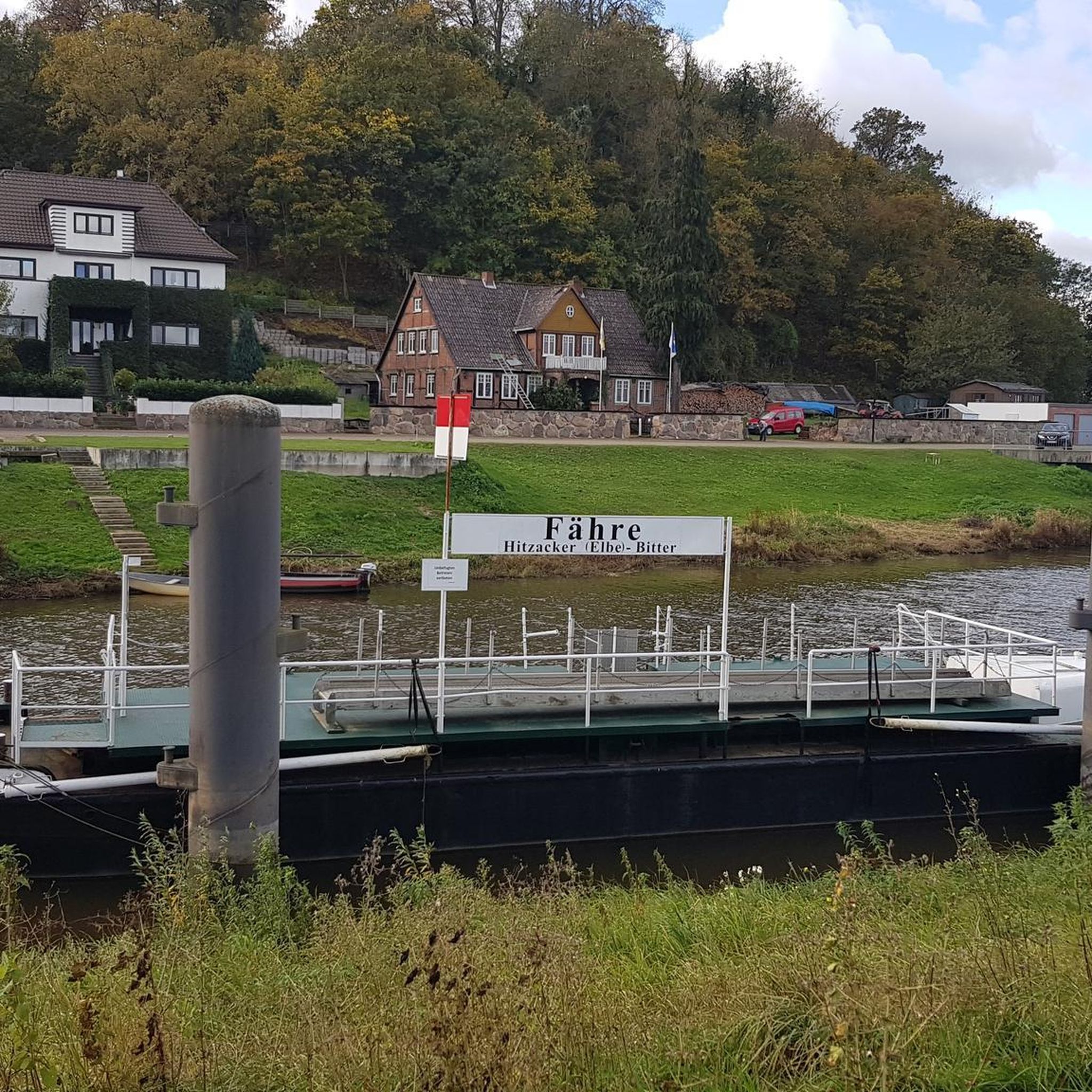
Easy hikes around Alzenau

Easy hikes around Obernauer Wald

Easy hikes around Dammbach

Easy hikes in Hösbacher Wald

Easy hikes around Bessenbach
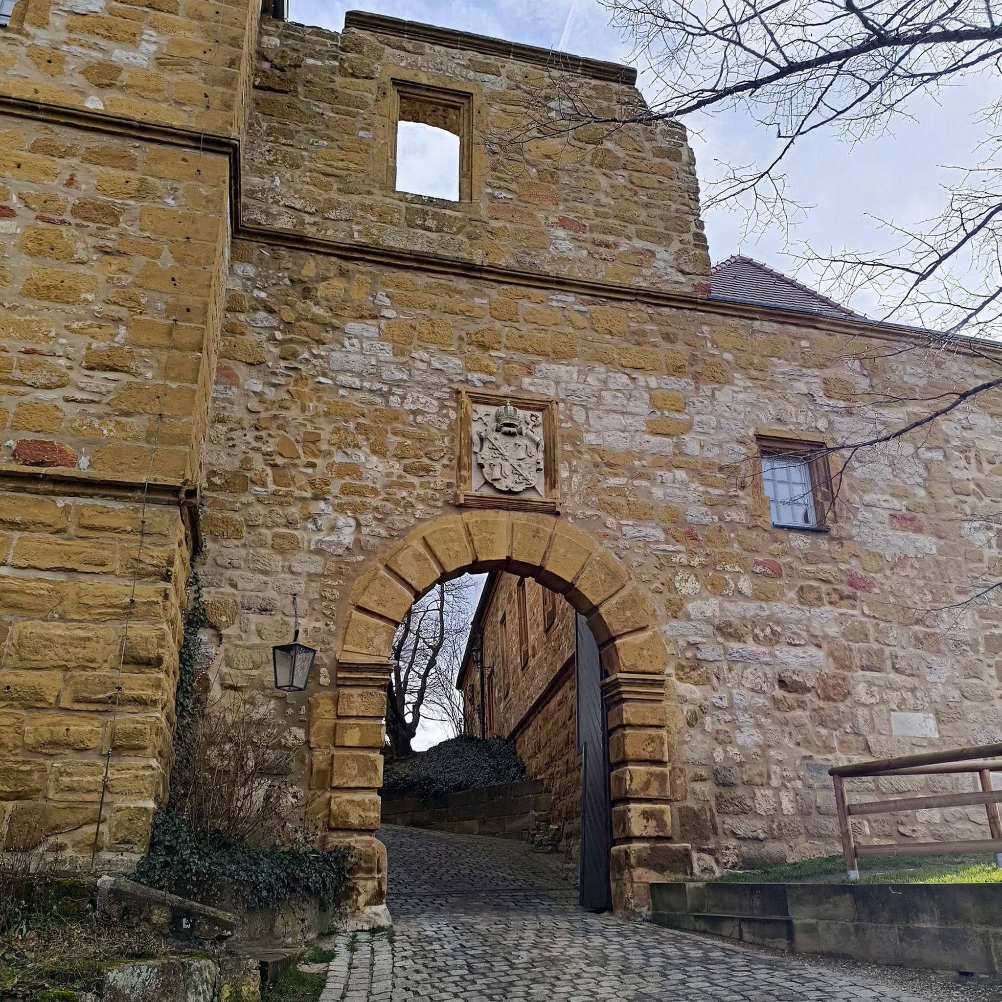
Easy hikes in Ehemaliger Standortübungsplatz Aschaffenburg Und Altenbachgrund
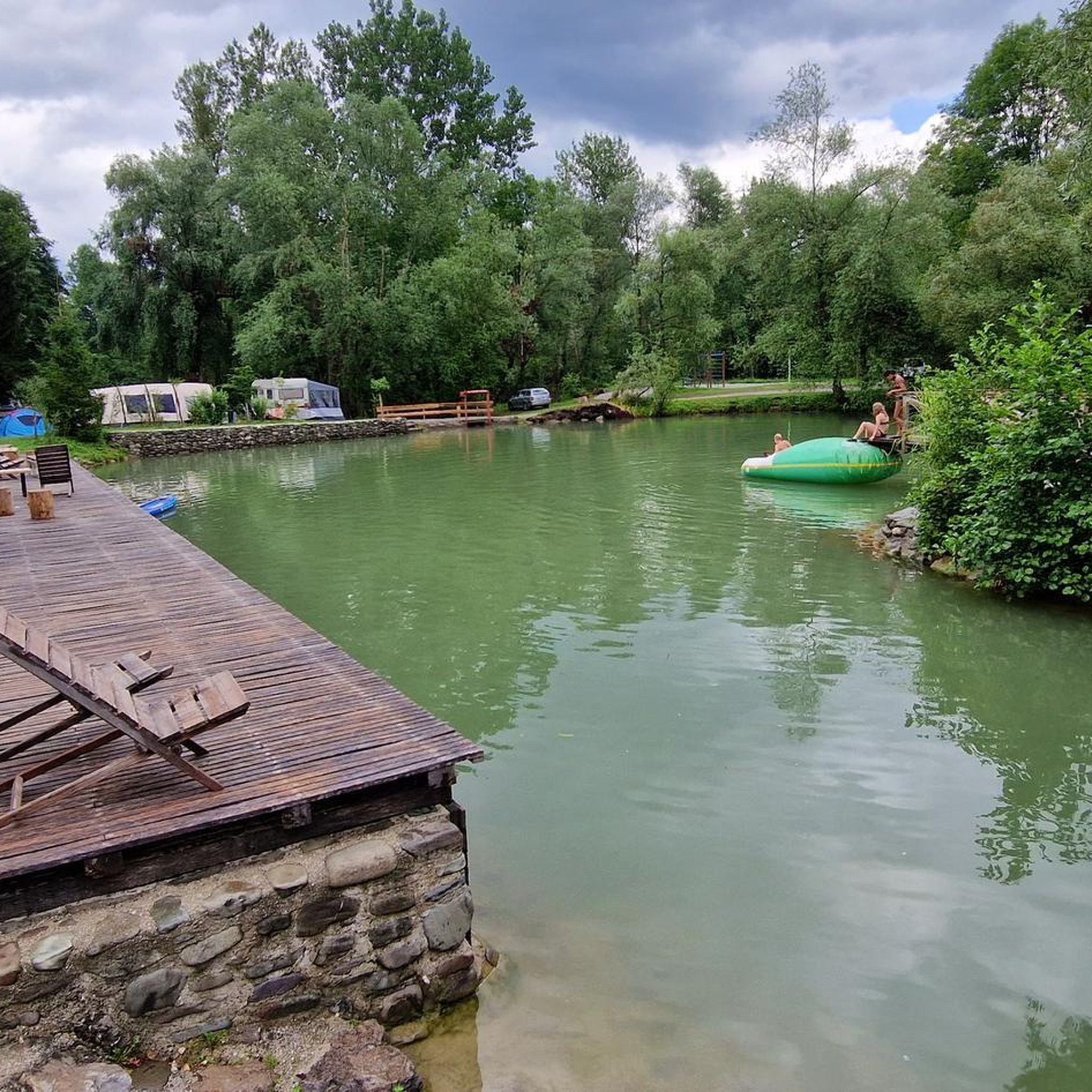
Easy hikes around Laufach

Easy hikes around Sailauf

Easy hikes around Hörsteiner Lake
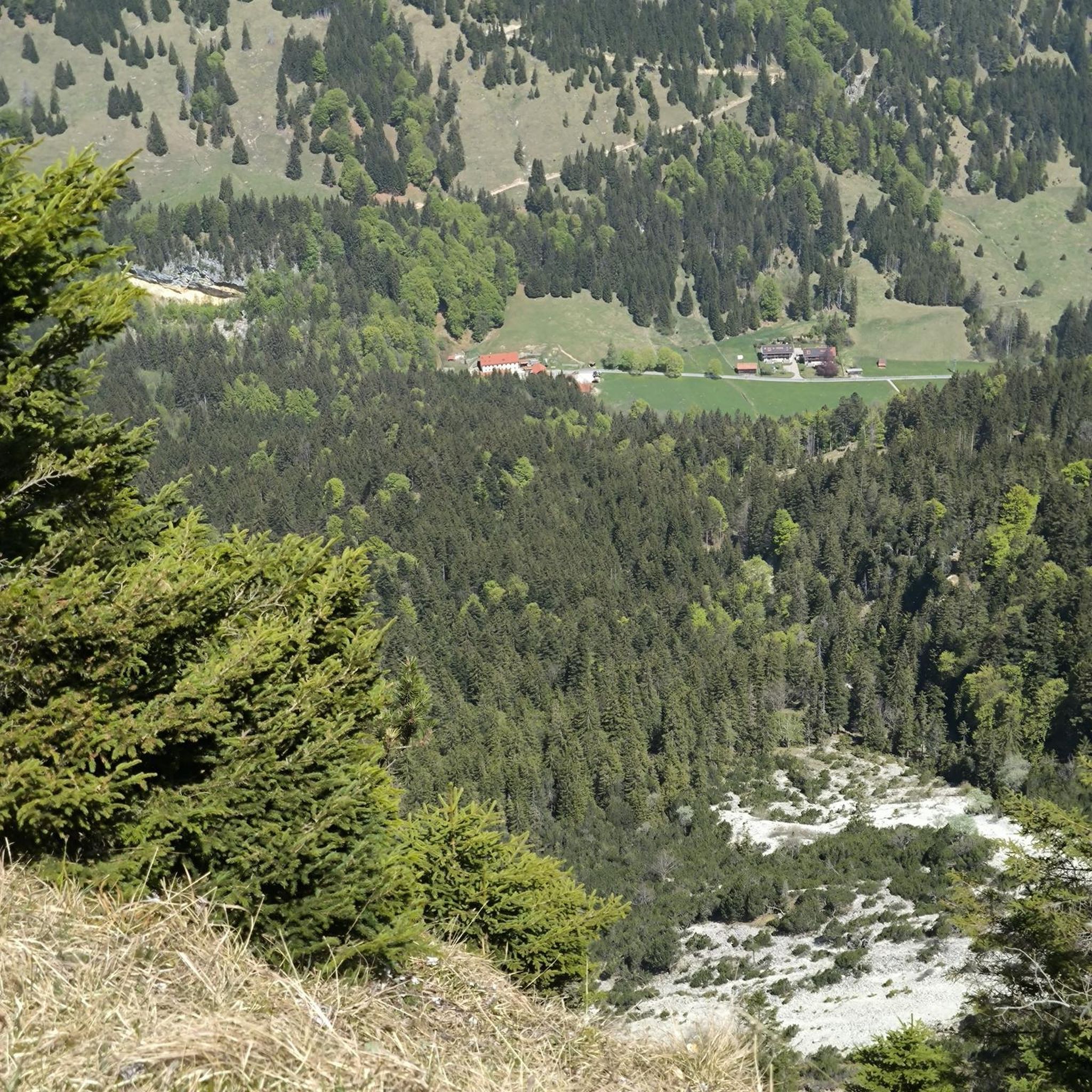
Easy hikes around Schlosssee
Other adventures in Landkreis Aschaffenburg


Tips from the Community

On the trail behind the castle
0
0
Directly at the access to the water castle at the Marstall
0
0

beautiful view, worth a visit!
0
0

There must be very good weather conditions to be able to see the Frankfurt skyline.
1
0

great location by the lake
1
0

The view of Michelbach is simply magnificent, and the countless beautiful trails leading to this spot are truly unique! 😍 #Michelbach #Trails #View #Nature
1
0
Here you can find interesting and useful information about the vineyards near Michelbach.
3
0

Beautiful view over Gailbach - ideal for relaxing.
0
0
Frequently Asked Questions
How many easy hiking trails are available in Landkreis Aschaffenburg?
Landkreis Aschaffenburg offers a wide selection of easy hiking trails, with over 2,400 routes suitable for all skill levels. These trails traverse diverse landscapes, from dense forests to scenic river valleys.
What do other hikers say about the easy trails in Landkreis Aschaffenburg?
The easy hiking trails in Landkreis Aschaffenburg are highly regarded by the komoot community, boasting an average rating of 4.6 stars from over 21,000 reviews. Hikers frequently praise the well-maintained paths, the tranquil forest settings, and the picturesque views, especially along the Main River and through the Spessart Nature Park.
Are there easy circular hiking routes in Landkreis Aschaffenburg?
Yes, many easy trails in Landkreis Aschaffenburg are circular, offering convenient starting and ending points. For example, the Hohe Wart House – Hohenwart House loop from Hessenthal is an easy 4.3-mile (6.9 km) path with gentle ascents through woodland. Another popular option is the The White Wayside Shrine loop from Schweinheim, a 3.2-mile (5.1 km) route.
Which easy trails are suitable for families with children?
Landkreis Aschaffenburg has several family-friendly easy trails. The region's 'Großostheim Nature Trail' is known for allowing children to playfully discover local flora and fauna. Additionally, the 'Heigenbrücken - Glücksweg - Wildlife Park' offers a pleasant circular route with a wildlife enclosure and play opportunities. For a shorter, accessible option, consider the Hiking loop from Ehemaliger Standortübungsplatz Aschaffenburg und Altenbachgrund, which is 2.4 miles (3.8 km) long.
Can I find easy hikes with viewpoints in the region?
Absolutely. Many easy trails offer rewarding viewpoints. For instance, the Terroir f Alzenau – Michelbach Vineyards loop from Michelbach provides panoramic views over vineyards. You can also find trails leading to or near highlights like the Ludwig Tower (Hahnenkamm) or various spots offering a View of Johannisburg Castle.
Are there any castles or historic sites along easy hiking routes?
Yes, the region is rich in history and features several castles and historic sites accessible via easy trails. The Mespelbrunn Castle – The Beaver loop from Mespelbrunn offers views of the historic Mespelbrunn Castle. Other notable sites include Alzenau Castle and the Ketzelburg Ruins, which can be incorporated into your easy hiking plans.
What is the best time of year for easy hikes in Landkreis Aschaffenburg?
The best times for easy hiking in Landkreis Aschaffenburg are spring and autumn. In spring, the flora blossoms, bringing vibrant colors to the forests and meadows. Autumn offers a spectacular display of foliage, with the Spessart oak trees creating a particularly colorful landscape. Summer is also pleasant, especially in the shaded forest areas, while winter can offer serene, crisp walks.
Are there easy trails that pass through vineyards?
Yes, particularly along the Main River, you'll find easy trails that wind through picturesque vineyards. The Terroir f Alzenau – Michelbach Vineyards loop from Michelbach is a prime example, offering a 4.1-mile (6.6 km) trail through these historic landscapes. Another option is the Weinberg Neinberg – terroir f Alzenau loop from Niedersteinbach.
Are there places to eat or rest along the easy hiking routes?
Many easy hiking routes in Landkreis Aschaffenburg offer opportunities for refreshments. The region has various huts and inns, such as the Hahnenkamm Mountain Inn or the Forest Inn "Zum Engländer". These spots are often located conveniently along or near popular trails, providing a chance to rest and enjoy local cuisine.
Are easy hiking trails in Landkreis Aschaffenburg accessible by public transport?
While many trails are best accessed by car, some routes in Landkreis Aschaffenburg are reachable via public transport, especially those closer to towns and villages. It's advisable to check local bus and train schedules for specific starting points of your chosen easy hike to plan your journey effectively.
Can I find easy hikes with minimal elevation gain?
Yes, the definition of 'easy' trails in Landkreis Aschaffenburg often implies routes with minimal elevation gain, making them suitable for beginners or those preferring flatter terrain. For example, the View of Schloss Emmerichshofen – Lindensee (Kahler Lakes Plateau) loop from Kahl / Heide has a very gentle elevation gain of only 29 meters over 3.5 miles (5.6 km).
Are dogs allowed on the easy hiking trails?
Generally, dogs are welcome on the easy hiking trails in Landkreis Aschaffenburg, especially within the Bavarian Spessart Nature Park. However, it's always recommended to keep dogs on a leash, particularly in nature reserves, near wildlife, or in agricultural areas, and to respect local signage regarding pet regulations.
Most popular routes in Landkreis Aschaffenburg
Most popular attractions in Landkreis Aschaffenburg

Get inspired with the komoot mobile app


Didn’t find what you were looking for?
Check out more Hikes throughout Landkreis Aschaffenburg below and find the perfect route in your destination.
Explore more
Browse the best Hikes in other regions.
