Easy hikes and walks around Landkreis Rastatt
4.5
(29728)
114,104
hikers
2,535
hikes
Easy hiking trails around Landkreis Rastatt traverse a varied landscape situated between the Black Forest and the Rhine. The region features dense woodlands, gurgling streams, and high moor areas in its eastern parts, contrasting with the flatter Rhine plain to the west. Hikers can explore diverse environments, from the forested slopes of the Black Forest National Park to the unique floodplain landscapes along the Rhine. This geographical diversity provides a range of easy routes suitable for various preferences.
Best easy…
Last updated: August 13, 2026
4.7
(390)
1,459
hikers
Easy hike. Great for any fitness level. Easily-accessible paths. Suitable for all skill levels.
4.7
(213)
682
hikers
5.54km
01:45
230m
230m
Easy hike. Great for any fitness level. Easily-accessible paths. Suitable for all skill levels.

Sign up for free
4.9
(135)
473
hikers
Easy hike. Great for any fitness level. Easily-accessible paths. Suitable for all skill levels.
4.7
(371)
1,372
hikers
Easy hike. Great for any fitness level. Easily-accessible paths. Suitable for all skill levels.
5.0
(1)
13
hikers
3.42km
00:55
40m
40m
Easy hike. Great for any fitness level. Easily-accessible paths. Suitable for all skill levels.
5.0
(1)
1
hikers
Easy hike. Great for any fitness level. Easily-accessible paths. Suitable for all skill levels.
4.7
(143)
580
hikers
4.02km
01:11
120m
120m
Easy hike. Great for any fitness level. Easily-accessible paths. Suitable for all skill levels.
4.2
(80)
283
hikers
Easy hike. Great for any fitness level. Easily-accessible paths. Suitable for all skill levels.
4.7
(70)
294
hikers
6.50km
01:50
140m
140m
Easy hike. Great for any fitness level. Easily-accessible paths. Suitable for all skill levels.
4.9
(47)
248
hikers
4.39km
01:13
80m
80m
Easy hike. Great for any fitness level. Easily-accessible paths. Suitable for all skill levels.
Get access to more routes and recommendations from other explorers.
Sign up for free
Already have an account?
Our route recommendations are based on thousands of hikes, rides, and runs completed by other people on komoot.
Start today with a free account
Your next adventure awaits.
Login or Signup
Popular around Landkreis Rastatt




Other adventures around Landkreis Rastatt


Tips from the Community


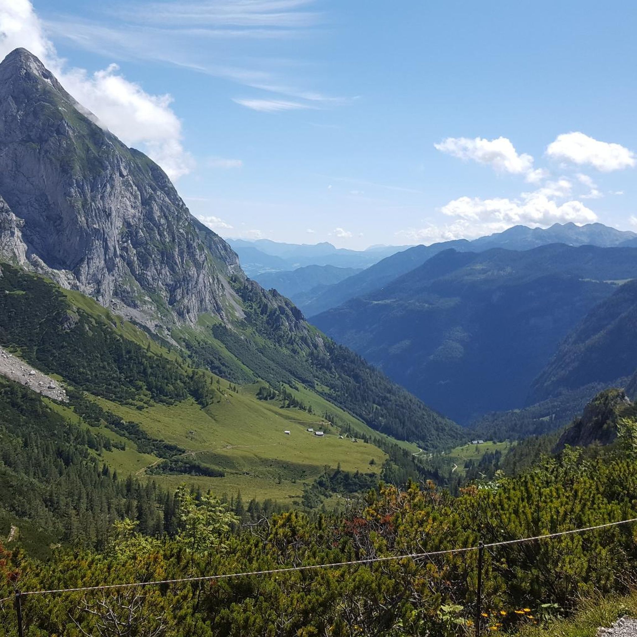
The Kaltenbronn high moor lies southeast of Gernsbach, above the Reichental district, in the middle of a huge forest area in a primeval landscape with cirques and block fields. It belongs to the forest area of the city of Gernsbach. The high moor, located at an altitude of over 900 meters, has been a nature reserve for over 60 years. The development of the high moor can be traced back around 10,000 years.
10
0

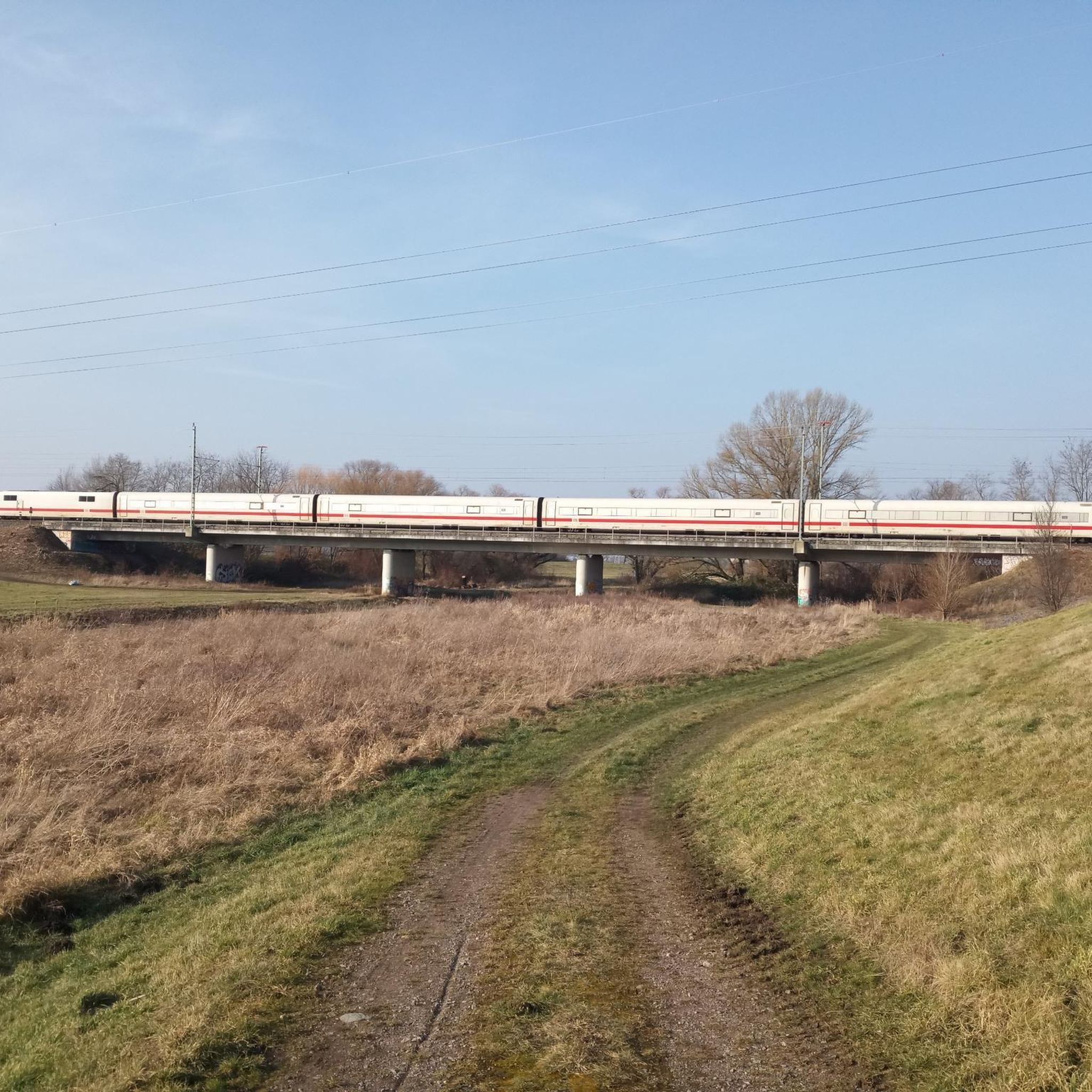
Great view of the railway bridge and the town of Langenbrand, which will delight not only railway fans.
0
0

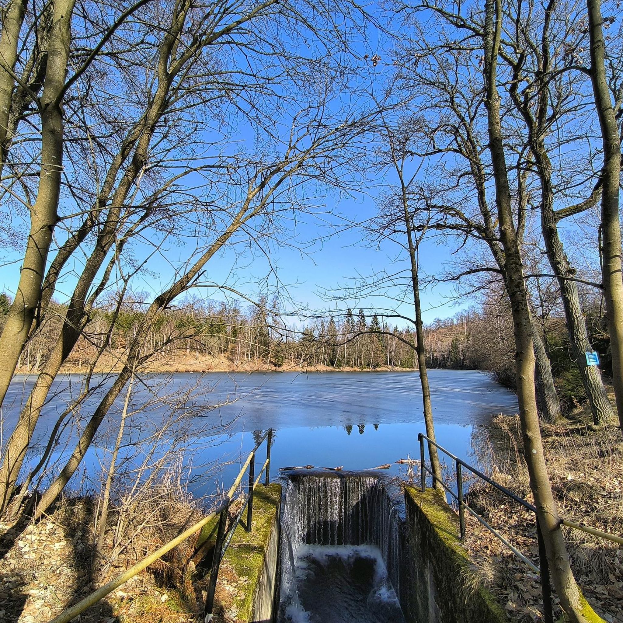
25.05.2026 currently no water is stored, only a trickle is flowing. Today 28° ☀
1
0

Small, beautiful and quiet park with recreational and leisure facilities and a little gastronomy.
3
0
In the Schlosspark Rotenfels, there are many sculptures to see. Some are only temporarily exhibited in the park as part of events/workshops of the academy located in the castle.
6
0

At the summit, there's no view at all in the middle of the forest. Not particularly worth seeing. The great view is from the restaurant a little further west.
0
0
Information boards along the signposted Kaltenbronn mountain rescue route provide insights into the multifaceted work of the Black Forest Mountain Rescue Service
0
0
Frequently Asked Questions
How many easy hiking trails are available in Landkreis Rastatt?
Landkreis Rastatt offers a wide selection of easy hiking trails, with over 1,300 routes suitable for various preferences. These trails are highly rated by the komoot community, with an average score of 4.5 stars from over 26,000 reviews.
Are there easy trails with waterfalls in Landkreis Rastatt?
Yes, you can find easy trails that lead to impressive waterfalls. The Gertelbach Waterfalls near Bühlertal are a notable natural monument, framed by majestic rock formations. While the Gertelbachsteig itself can be more challenging, there are easier paths in the vicinity that offer views of the cascades.
What kind of landscapes can I expect on easy hikes in Landkreis Rastatt?
Easy hikes in Landkreis Rastatt traverse diverse landscapes. You can explore the dense woodlands and gurgling streams of the Black Forest, including parts of the Black Forest National Park. To the west, the flatter Rhine plain offers unique floodplain environments like the PAMINA Rhine Park. You'll also find scenic routes through sun-drenched vineyards in northern Ortenau.
Are there family-friendly easy hikes in the region?
Absolutely. Many easy trails are perfect for families. For instance, the Gernsbach (Legend) Premium Trail is a 3.4-mile path that immerses hikers in local folklore, making it engaging for both children and adults. The Bermersbacher Glücksweg is another great option, leading through the Black Forest National Park region.
Can I find easy circular routes in Landkreis Rastatt?
Yes, many easy trails in the region are designed as circular routes, allowing you to start and end at the same point. Examples include the View of the Schwarzenbach Dam loop or the Hohlohsee Boardwalk loop from Kaltenbronn, which takes you through the impressive high moor area.
Are there easy trails with scenic viewpoints?
Yes, Landkreis Rastatt offers several easy hikes with rewarding views. The Hohloh Tower (Kaiser Wilhelm Tower) and the Friedrich Tower at Badener Höhe both provide excellent panoramic views of the Black Forest and the Rhine plain. You can also find trails like the Windeck Castle loop offering views of the Rhine Valley.
Are easy trails in Landkreis Rastatt accessible by public transport?
Many areas in Landkreis Rastatt have good public transport connections, making it convenient to reach trailheads. Some regions even offer the KONUS Guest Card, which allows for free use of buses and trains, further enhancing accessibility for hikers.
Are there easy trails that explore the Black Forest National Park?
Yes, the region includes parts of the Black Forest National Park with accessible easy trails. The Black Forest National Park: Lynx Trail is a popular 3-mile route offering insights into the protected areas. The Bermersbacher Glücksweg also leads through this beautiful region.
What is the best time of year for easy hiking in Landkreis Rastatt?
The region is enjoyable for easy hiking throughout much of the year. Spring brings blooming flora, while summer offers warm weather for exploring. Autumn is particularly scenic with vibrant fall colors, especially in the Black Forest. Even in winter, some lower-elevation trails can be hiked, though conditions may vary.
Are there easy hikes near water bodies like lakes or dams?
Yes, you can find easy routes near water. The Kaltenbronn High Moor Area features the Wildsee raised bog with a boardwalk, offering a unique natural experience. Additionally, trails like the Schwarzenbach Dam loop provide pleasant walks around water reservoirs.
Are there any easy hikes that offer a cultural or historical experience?
Yes, the region blends nature with history. The Gernsbach (Legend) Premium Trail is a great example, immersing hikers in Gernsbach's legendary past. You might also encounter historical sites or ancient paths, such as the former border path between Baden and Württemberg, on various routes.
Are easy trails in Landkreis Rastatt generally dog-friendly?
Many easy trails in Landkreis Rastatt are suitable for dogs, especially those through forests and open landscapes. It's always recommended to keep dogs on a leash, particularly in nature reserves or areas with wildlife, and to check specific trail regulations before you go.
Most popular routes around Landkreis Rastatt
Most popular attractions around Landkreis Rastatt

Get inspired with the komoot mobile app


Didn’t find what you were looking for?
Check out more Hikes throughout Landkreis Rastatt below and find the perfect route in your destination.
Explore more
Browse the best Hikes in other regions.
