Easy hikes and walks in the Weser Uplands
4.6
(54894)
203,354
hikers
15,807
hikes
Easy hiking trails in the Weser Uplands traverse a diverse hill region in Germany, characterized by rolling, wooded hills and deeply cut valleys along the Weser River. The landscape transitions from the German Central Uplands to the North German Plain, offering varied terrain for hikers. Extensive forests, such as the Solling hills, are a defining feature, alongside the Weser River itself and unique natural phenomena like moors. The region's highest points are considered hills, providing panoramic views without extreme elevation.
…Last updated: May 13, 2026
4.6
(522)
1,567
hikers
6.82km
01:55
150m
150m
Easy hike. Great for any fitness level. Easily-accessible paths. Suitable for all skill levels.
4.7
(449)
1,290
hikers
6.00km
01:41
120m
120m
Easy hike. Great for any fitness level. Easily-accessible paths. Suitable for all skill levels.

Sign up for free
4.6
(79)
366
hikers
6.54km
01:48
100m
110m
Easy hike. Great for any fitness level. Easily-accessible paths. Suitable for all skill levels.
4.8
(75)
250
hikers
4.86km
01:22
100m
100m
Easy hike. Great for any fitness level. Easily-accessible paths. Suitable for all skill levels.
4.8
(72)
244
hikers
4.93km
01:23
100m
100m
Easy hike. Great for any fitness level. Easily-accessible paths. Suitable for all skill levels.
4.7
(86)
238
hikers
4.40km
01:12
60m
60m
Easy hike. Great for any fitness level. Easily-accessible paths. Suitable for all skill levels.
4.4
(60)
188
hikers
5.77km
01:38
130m
130m
Easy hike. Great for any fitness level. Easily-accessible paths. Suitable for all skill levels.
4.8
(75)
264
hikers
Easy hike. Great for any fitness level. Easily-accessible paths. Suitable for all skill levels.
4.8
(61)
161
hikers
6.34km
01:52
190m
190m
Easy hike. Great for any fitness level. Easily-accessible paths. Suitable for all skill levels.
4.7
(47)
178
hikers
6.65km
01:49
100m
100m
Easy hike. Great for any fitness level. Easily-accessible paths. Suitable for all skill levels.
Get access to more routes and recommendations from other explorers.
Sign up for free
Already have an account?
Our route recommendations are based on thousands of hikes, rides, and runs completed by other people on komoot.
Start today with a free account
Your next adventure awaits.
Login or Signup
Popular around Weser Uplands
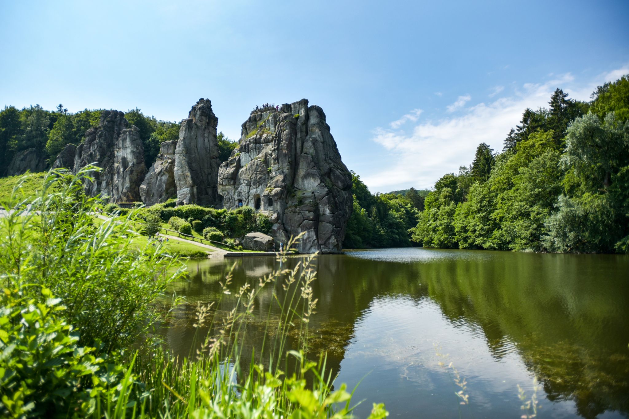
Hiking Germany's Hermannsweg – In the footsteps of the Cheruscan
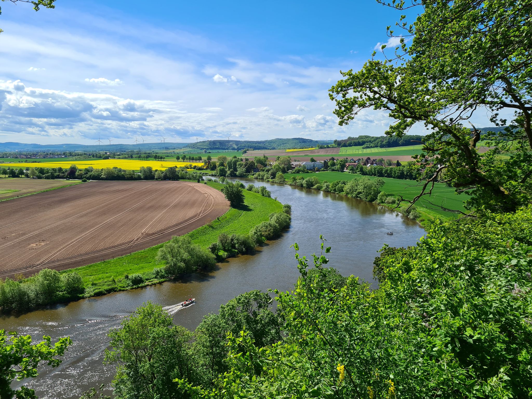
Loccum-Volkenroda pilgrim's way – From monastery to monastery

11 Hessen trails – criss-cross through the countryside
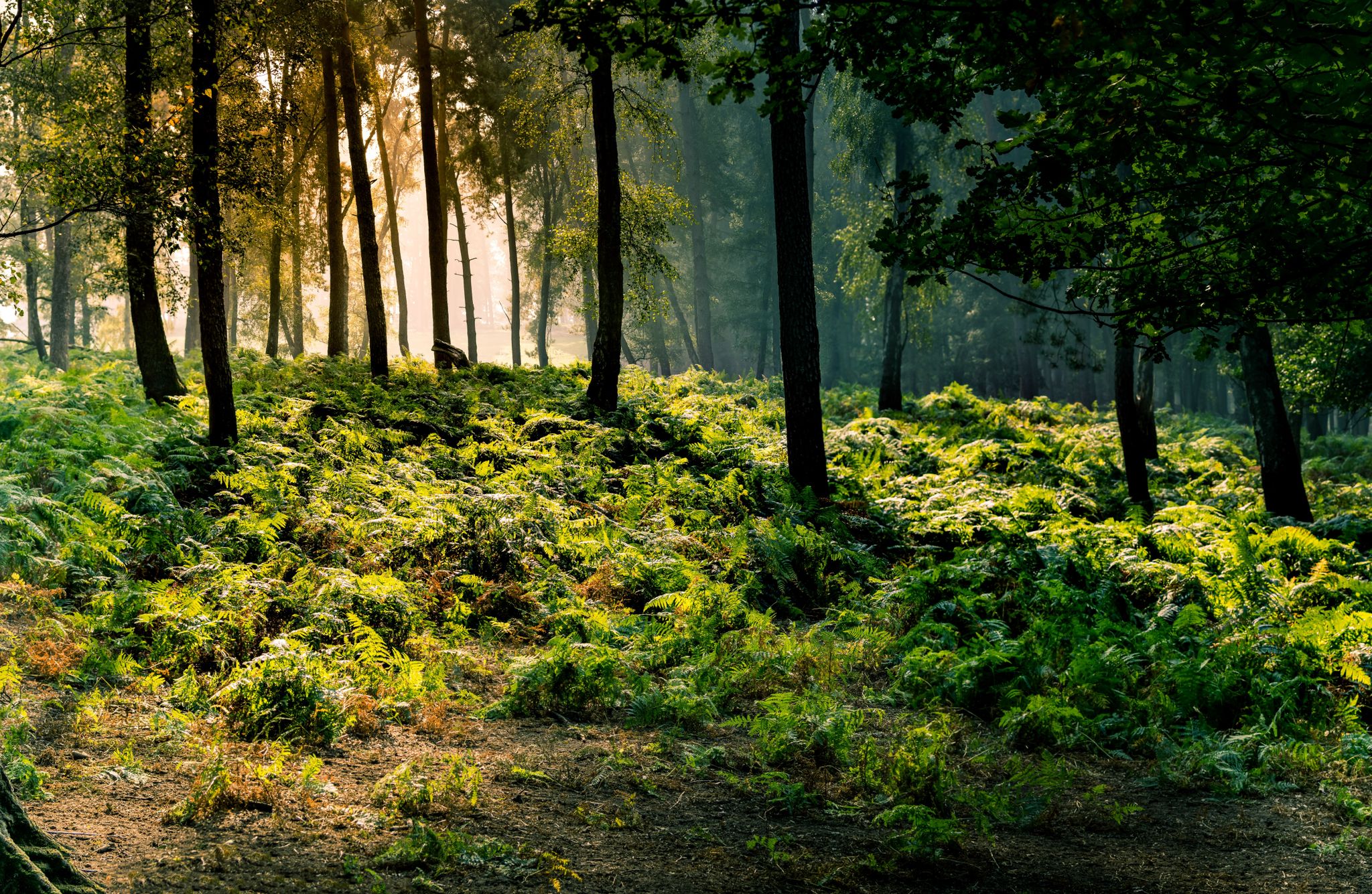
Frau Holle Trail – Nature and fairytales, eight stages
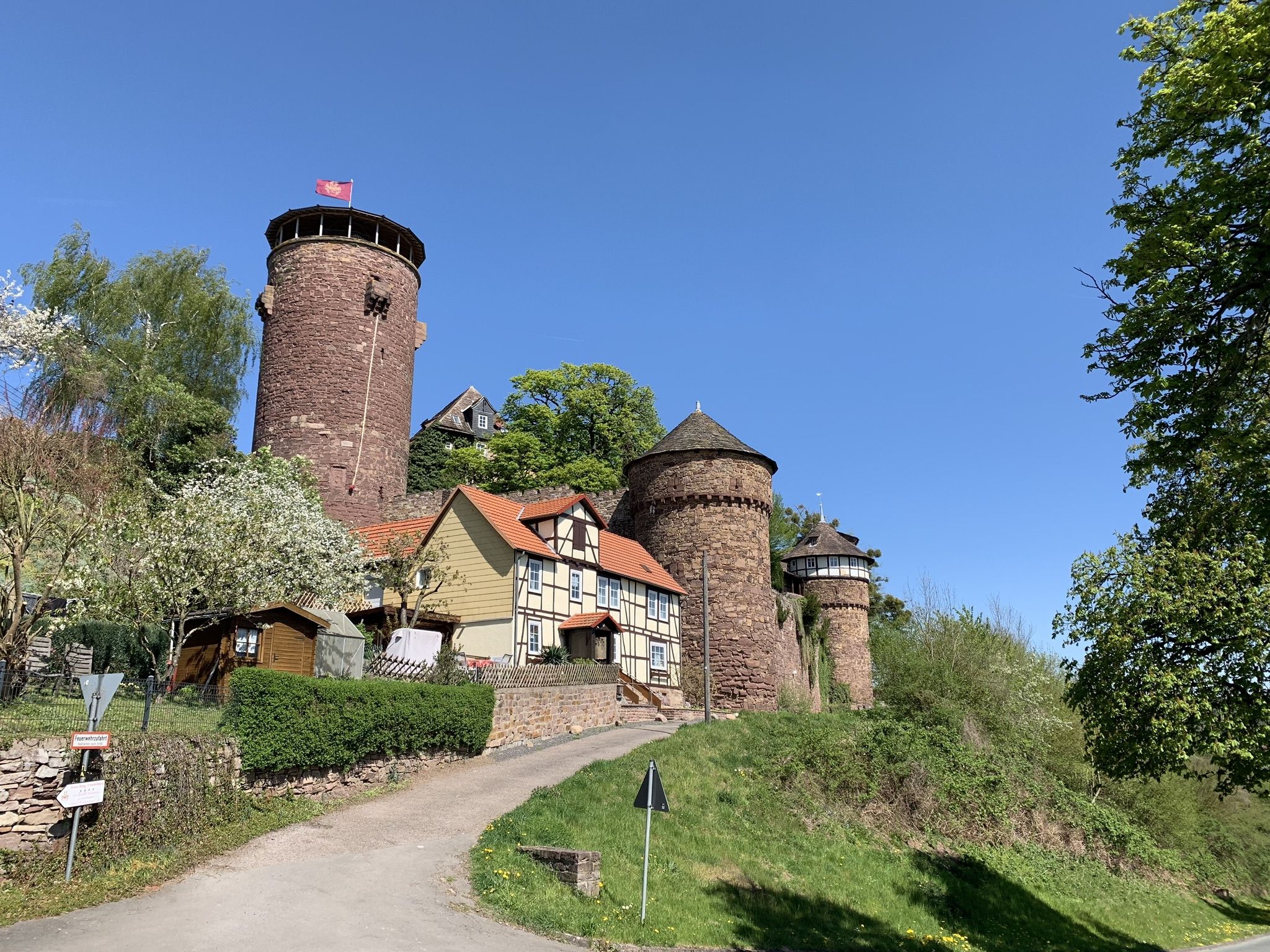
Hike the Fairy Tale Route – Enchanting days in Germany
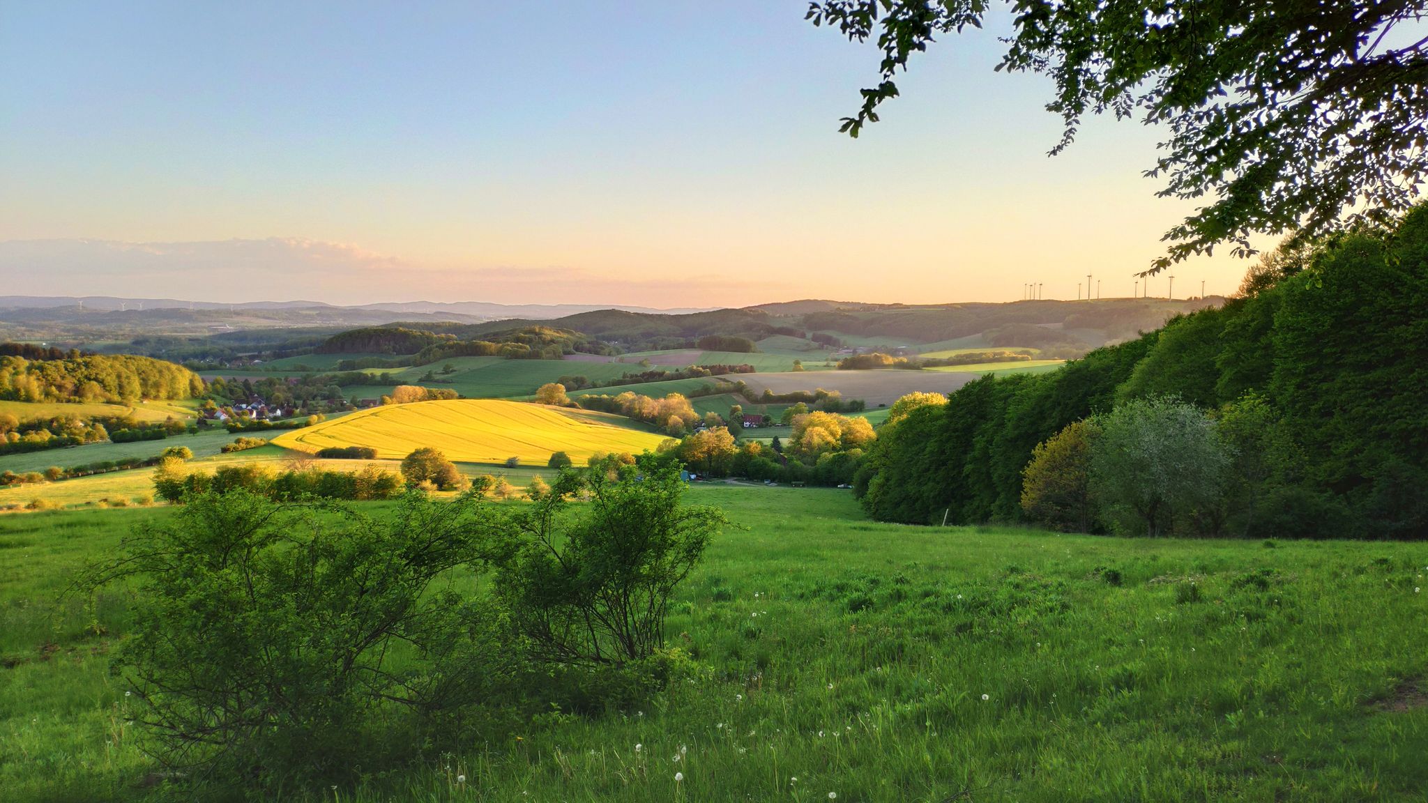
Hansa Trail in 6 stages – Hills and fun in Germany's Lipper Bergland
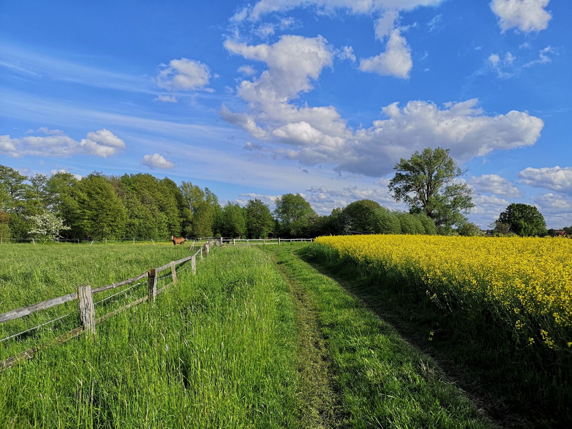
Hiking on Germany's Bückeberg Trail – Gentle hills and green forests
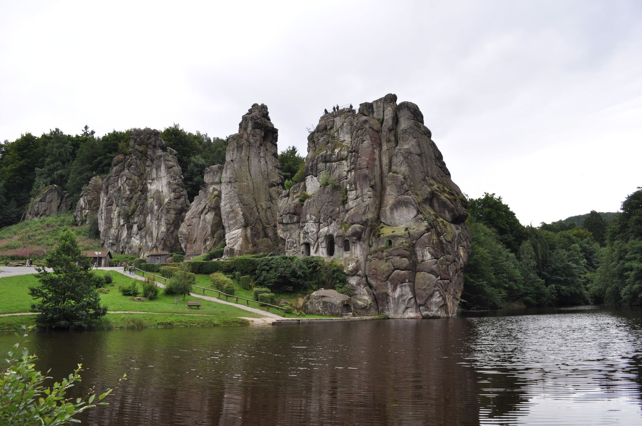
Egge Trail – Hiking through the Lower Saxon hills in Germany
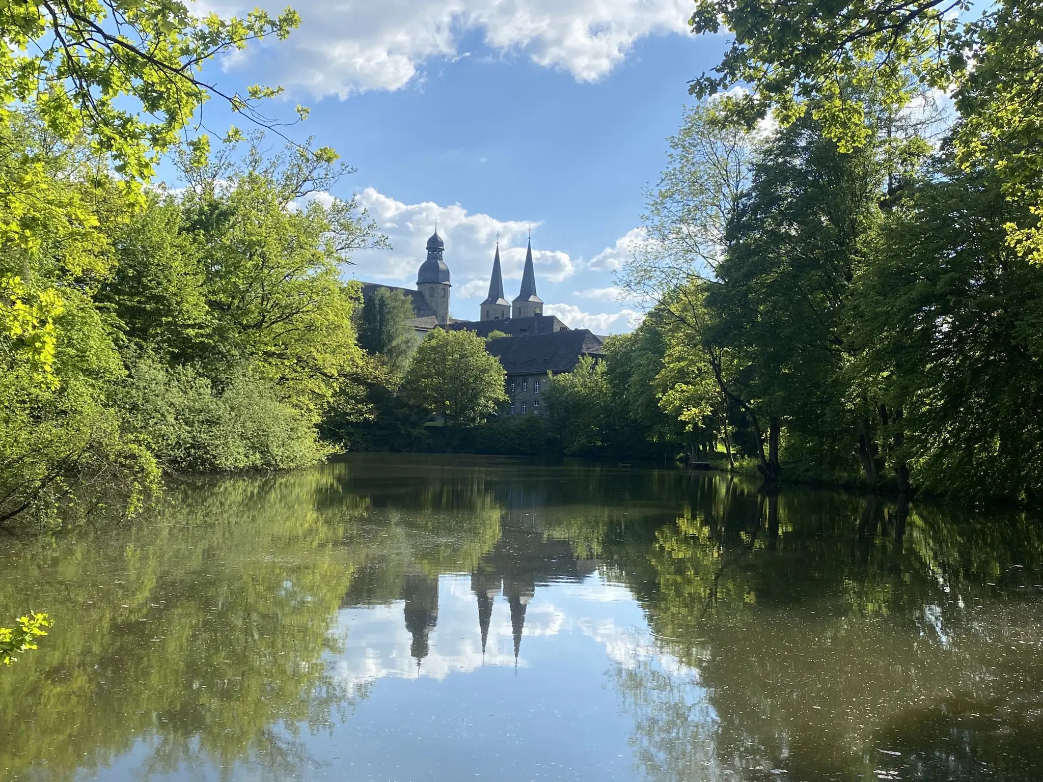
Weg der Stille - Ökumenischer Pilgerweg

The National Natural Landscapes in Hessen
Other adventures in the Weser Uplands


Tips from the Community

Beautiful view, especially in winter.
0
0

The Self-Care Trail near Hattendorf is a gently guided themed path that combines experiencing nature with personal mindfulness. Over a distance of just over four kilometers, it accompanies hikers through a tranquil landscape of meadows, forest edges, and the gentle hills of the Auetal valley. Nine stations invite visitors to pause and turn their gaze inward: to perceive their own resources, to quiet their inner critic, or simply to breathe consciously for a moment. The trail is not intended as a sporting challenge, but rather as an invitation to slow down, a quiet dialogue between people and nature that unfolds its full effect particularly in the early morning hours or after fresh snowfall.
1
0

Historic place with table and benches - worth seeing 💯🔝👍🏻🍂🍁😉
1
0

Unfortunately, the kaleidoscope is missing and the hut is also being renovated.
0
0

In blueberry season, this is the place to be. Blueberry plants as far as the eye can see.
1
0

Hiking poles are helpful even at a more advanced age. A very nice hiking trail for enjoying the forest and also for self-care...
1
0

From the right angle you could also mistake them for Brachiosauruses🤣
0
0

I also saw a Combiscope once. 😉
10
0
Frequently Asked Questions
How many easy hiking trails are available in the Weser Uplands?
The Weser Uplands offers a vast network of trails, with over 8,700 easy hiking routes available. These trails are designed to be accessible for all fitness levels, allowing everyone to enjoy the region's diverse landscapes.
What kind of terrain can I expect on easy hikes in the Weser Uplands?
Easy hikes in the Weser Uplands typically feature rolling, wooded hills and deeply cut valleys along the Weser River. The terrain transitions from the German Central Uplands to the North German Plain, offering varied landscapes without extreme elevation. You'll find extensive forests, river valleys, and often well-maintained paths suitable for a relaxed walk.
Are there any family-friendly easy hikes in the Weser Uplands?
Yes, many easy hikes in the Weser Uplands are perfect for families. Trails like the Forest adventure trail on the Jakobsberg in Porta Westfalica offer engaging experiences for children, often combining nature exploration with points of interest. The region's generally gentle slopes and well-marked paths make it ideal for outings with kids.
Can I bring my dog on easy hiking trails in the Weser Uplands?
Most easy hiking trails in the Weser Uplands are dog-friendly, allowing you to enjoy the natural beauty with your canine companion. It's always recommended to keep dogs on a leash, especially in nature reserves or areas with wildlife, and to check specific trail regulations beforehand. The extensive forests provide plenty of shaded paths for comfortable walks.
What are some notable natural features or landmarks I can see on easy hikes?
The Weser Uplands is rich in natural features and historical landmarks. On easy hikes, you might encounter dramatic rock formations like the Externsteine, explore unique natural phenomena such as moors, or discover hidden caves like Lippold's Cave. Many routes also offer panoramic views from various viewpoints.
Are there easy circular hiking routes in the Weser Uplands?
Yes, the Weser Uplands features numerous easy circular hiking routes, perfect for a day trip without needing to retrace your steps. An example is the Gröninger Feld loop, which offers a pleasant walk through varied landscapes, bringing you back to your starting point.
What is the typical duration for an easy hike in this region?
The duration of easy hikes in the Weser Uplands varies, but many can be completed within 1.5 to 2.5 hours. For instance, the Blueberry Route Quality Trail typically takes about 1 hour 55 minutes, while Hiking in the Harrl (H 1) is usually completed in about 1 hour 47 minutes. These routes are generally between 4 to 7 kilometers long.
Are there easy hikes that offer scenic viewpoints?
Absolutely. The Weser Uplands is known for its stunning vistas. Many easy trails lead to elevated points or open areas that provide rewarding panoramic views of the rolling hills, dense forests, and the Weser River valley. The region's highest points, though considered hills, consistently offer spectacular outlooks.
What do other hikers say about the easy trails in the Weser Uplands?
The easy trails in the Weser Uplands are highly regarded by the komoot community, with an average rating of 4.6 stars from over 11,500 reviews. Hikers frequently praise the well-maintained paths, the serene atmosphere of the extensive forests, and the diverse scenery that makes each walk enjoyable and accessible.
Are there any easy hikes with historical or cultural points of interest?
Yes, the Weser Uplands is steeped in history and folklore. Many easy routes pass by or lead to cultural landmarks. For example, you might find trails near castles like Pyrmont Castle or the Falkenburg, or explore areas associated with local myths and fairy tales, such as those near the famous Hermann Monument.
Can I find easy hikes that are less crowded?
While popular routes can see more visitors, the vastness of the Weser Uplands and its extensive forest areas, such as the Solling hills, mean you can often find less crowded easy trails. Exploring routes slightly off the main tourist paths or visiting during off-peak hours can lead to a more tranquil hiking experience.
Are there easy hikes suitable for winter in the Weser Uplands?
Yes, many easy trails in the Weser Uplands remain accessible and offer a unique charm in winter, especially after light snowfall. The wooded paths provide some shelter, and the quiet, frosty landscapes can be very picturesque. Always check local conditions and trail reports before heading out in winter, and ensure you have appropriate footwear and clothing.
Are there easy hikes that pass by cafes or places to rest?
Many easy hiking routes in the Weser Uplands are designed to pass through or near charming villages and towns, where you can often find cafes, restaurants, or guesthouses for a break. Some trails, particularly themed routes, may also have designated rest areas or picnic spots. It's a good idea to check the route details on komoot for amenities along your chosen path.
Most popular routes in the Weser Uplands
Most popular attractions in the Weser Uplands

Get inspired with the komoot mobile app


Explore more
Browse the best Hikes in other regions.
