Easy hikes and walks in Grand Mesa, Uncompahgre And Gunnison National Forests
4.7
(215)
6,331
hikers
261
hikes
Hiking in Grand Mesa, Uncompahgre And Gunnison National Forests offers diverse landscapes across over three million acres. The region features the world's largest flat-top mountain, rugged peaks, deep canyons, and extensive forests. Elevations range significantly, providing varied terrain from alpine meadows to lush valleys, suitable for easy hiking trails. This area includes numerous lakes, rivers, and streams, enhancing the natural beauty for outdoor exploration.
Best easy hiking trails in Grand Mesa, Uncompahgre And Gunnison National Forests
- The most popular easy…
Last updated: September 27, 2026
4.5
(2)
98
hikers
4.28km
01:29
260m
250m
Easy hike. Great for any fitness level. Easily-accessible paths. Suitable for all skill levels.
19
hikers
3.10km
01:01
140m
140m
Easy hike. Great for any fitness level. Easily-accessible paths. Suitable for all skill levels.

7
hikers
3.59km
01:04
0m
320m
Easy hike. Great for any fitness level. Easily-accessible paths. Suitable for all skill levels.
4.0
(1)
4
hikers
2.64km
00:41
20m
20m
Easy hike. Great for any fitness level. Easily-accessible paths. Suitable for all skill levels.
2
hikers
3.99km
01:06
60m
80m
Easy hike. Great for any fitness level. Easily-accessible paths. Suitable for all skill levels.
Get access to more routes and recommendations from other explorers.
Already have an account?
Our route recommendations are based on thousands of hikes, rides, and runs completed by other people on komoot.
Start today with a free account
Your next adventure awaits.
Popular around Grand Mesa, Uncompahgre And Gunnison National Forests

Colorado Trail — The pinnacle of wild Colorado

The Colorado Trail — Ten incredible days in the Rocky Mountains
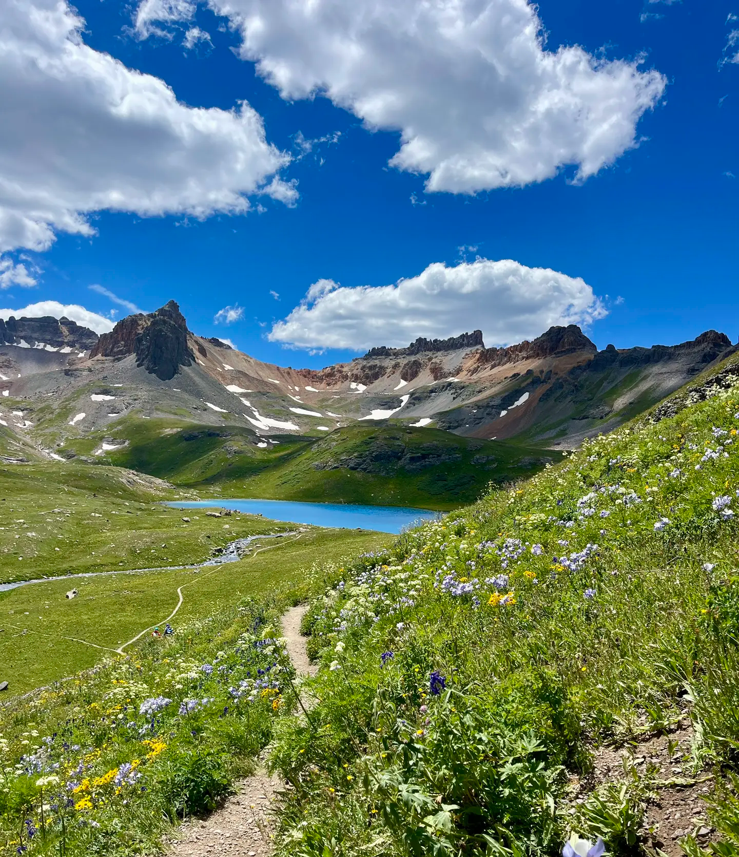
Softrock 100: Four Days Through Colorado’s Alpine Wilds
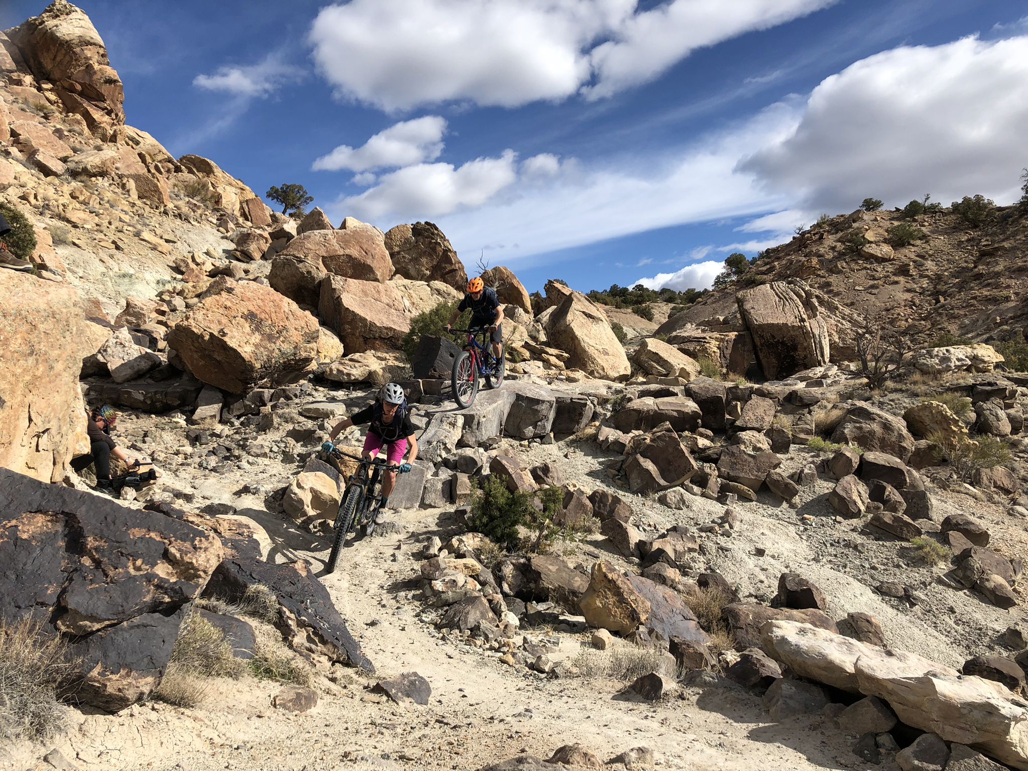
World-class desert trails in the Grand Valley

Mountain bike paradise around Salida in Colorado
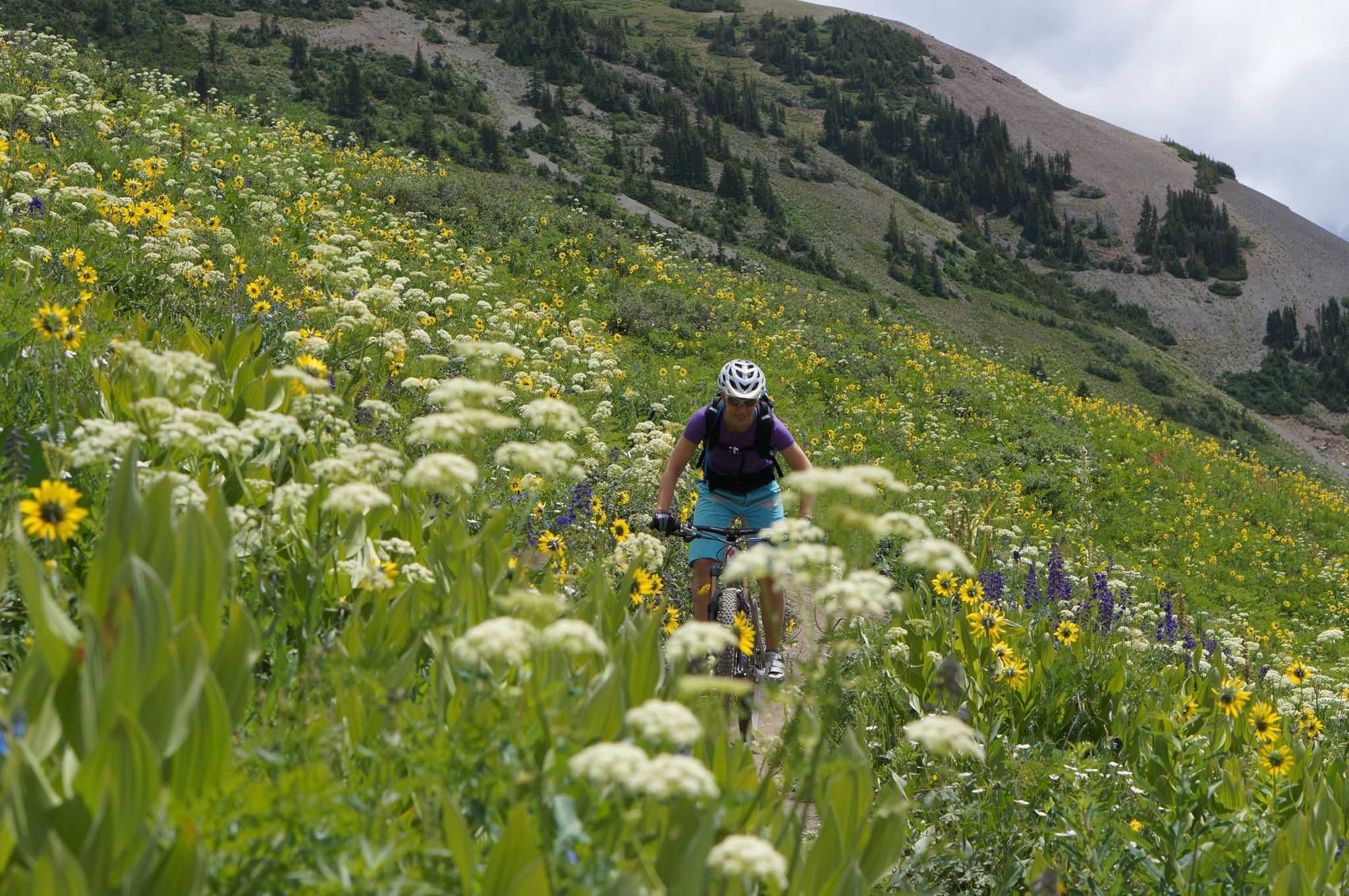
Mountain biking in the wildflower paradise of Colorado’s Crested Butte

Unforgettable MTB Adventures – IMBA Epic Trails in USA and Canada
Other adventures in Grand Mesa, Uncompahgre And Gunnison National Forests


Tips from the Community

A meeting point where the forested Bear Creek Trail connects with the steeper Ballard climb. It’s a good spot to pause, refill energy, and decide whether to continue deeper into the canyon or push higher toward alpine views.
0
0

This beautiful alpine lake is nestled amongst the much bigger Bull Basin and Bull Creek Reservoirs. It lends its name to the official trail that traverses them all, reaching all the way to Cottonwood Trail on its east end.
0
0

That's the purpose of the hike. A little bit of freshness it can't hurt.
1
0
Shortly before you reach Bear Creek Waterfall, you have wonderful views. What to say? just enjoy.
1
0
Hikers had fun here creating cairns on a large rocky platform.
1
0
From the top of these 365 feet, the spectacular Bridal Veil Falls are the highest of the Colorado waterfalls. You should know that this is also the name of one of the Niagara Falls.
0
0

The stunning falls rush high above the mountain town of Telluride. At the top of the box canyon you can see a solitary building: the power plant that produces hydroelectricity. The trail and road up to Bridalveil Falls can still be snow covered by the end of June or even July if it is a high snow year. From the parking lot below you can take a short walk to this view of the waterfall, including the impressive switchbacks that wind up the mountain.
3
1
The trail and road up to Bridal Veil Falls might still be covered with snow into late June or even July, if it is a high snow year. From the parking lot, you can take a little walk to this view of the waterfall including the impressive switchbacks winding up the mountain.
4
0
Frequently Asked Questions
How many easy hiking trails are available in Grand Mesa, Uncompahgre And Gunnison National Forests?
The Grand Mesa, Uncompahgre And Gunnison National Forests offer a wide selection of easy hiking trails. There are over 60 easy routes available, providing diverse options for all skill levels.
What kind of landscapes can I expect on easy hikes in this region?
You can expect a diverse range of landscapes, from the enchanting alpine meadows and shimmering lakes of the Grand Mesa, the world's largest flat-top mountain, to the lush valleys and forests found throughout the region. The area also features rugged peaks and deep canyons, offering varied scenic backdrops even on easier paths.
Are there easy trails that feature waterfalls?
Yes, several easy trails offer views of waterfalls. For example, the Bridal Veil Falls, Black Bear Pass Loop is an easy route that features a prominent waterfall. You can also find the impressive Canyon Creek Bridge and Falls, where Canyon Creek cascades 85 feet into a narrow quartzite canyon.
Can I find easy trails with scenic viewpoints or lakes?
Absolutely. The region is rich with scenic viewpoints and lakes accessible via easy trails. The Grand Mesa, for instance, is known for its numerous lakes like Mesa Lake, and the Uncompahgre National Forest boasts the stunning Blue Lakes. Many trails offer panoramic vistas, such as the View of Bridal Veil Falls and the power plant.
What is the best time of year for easy hiking in Grand Mesa, Uncompahgre And Gunnison National Forests?
The diverse terrain and significant elevation changes mean hiking is possible year-round in different areas. However, late spring through early fall (May to October) generally offers the most favorable conditions for easy hikes, with pleasant temperatures and vibrant wildflowers in summer, and stunning foliage in autumn. Some higher elevation trails may still have snow into early summer.
Are there any easy loop trails in the Grand Mesa, Uncompahgre And Gunnison National Forests?
Yes, there are several easy loop trails to explore. The Keystone Gorge Loop Trail is a popular easy option that takes you through a scenic gorge. Another great choice is the Bridal Veil Falls, Black Bear Pass Loop, which offers a beautiful circular route.
Are there dog-friendly easy trails in Grand Mesa, Uncompahgre And Gunnison National Forests?
Many trails in the Grand Mesa, Uncompahgre And Gunnison National Forests are dog-friendly, though leash regulations may apply. A specific easy option is the County Line Dog Loop, designed with canine companions in mind. Always check specific trail regulations before heading out with your pet.
Are there family-friendly easy hikes suitable for children?
Yes, the region offers numerous family-friendly easy hikes. Trails with minimal elevation gain and shorter distances are ideal. The Galloping Goose trail is a good example of an easy path suitable for families, offering a pleasant walk through varied terrain.
What do other hikers enjoy the most about hiking in Grand Mesa, Uncompahgre And Gunnison National Forests?
The area is highly rated by the komoot community, with an average score of 4.8 stars. Reviewers often praise the diverse and stunning landscapes, from the unique flat-top mountain of Grand Mesa to the rugged peaks and deep canyons. The extensive network of well-maintained trails and the opportunities for solitude and wildlife viewing are also frequently highlighted.
Are there any easy trails that follow rivers or streams?
Yes, the Gunnison National Forest alone features over 3,600 miles of rivers and streams, providing many opportunities for easy hikes alongside water. The Bear Creek Trail is an easy path that offers views through spruce/fir forests and meadows, often with the sounds of the creek nearby.
Do I need a permit for easy hikes in Grand Mesa, Uncompahgre And Gunnison National Forests?
Generally, permits are not required for day hiking on most easy trails within the Grand Mesa, Uncompahgre And Gunnison National Forests. However, specific wilderness areas or certain activities might have different regulations. It's always best to check with the local Forest Service office for the most current information regarding your chosen trail.
What are the parking options for easy hiking trails in the region?
Parking is typically available at trailheads throughout the Grand Mesa, Uncompahgre And Gunnison National Forests. Many popular easy trails, especially those near lakes or scenic points, have designated parking areas. It's advisable to arrive early during peak seasons to secure a spot, particularly for well-known routes.
Most popular routes in Grand Mesa, Uncompahgre And Gunnison National Forests
Most popular attractions in Grand Mesa, Uncompahgre And Gunnison National Forests

Get inspired with the komoot mobile app


Explore more
Browse the best Hikes in other regions.
