The best walks and hikes in the Kenai Mountains
4.5
(200)
2,813
hikers
91
hikes
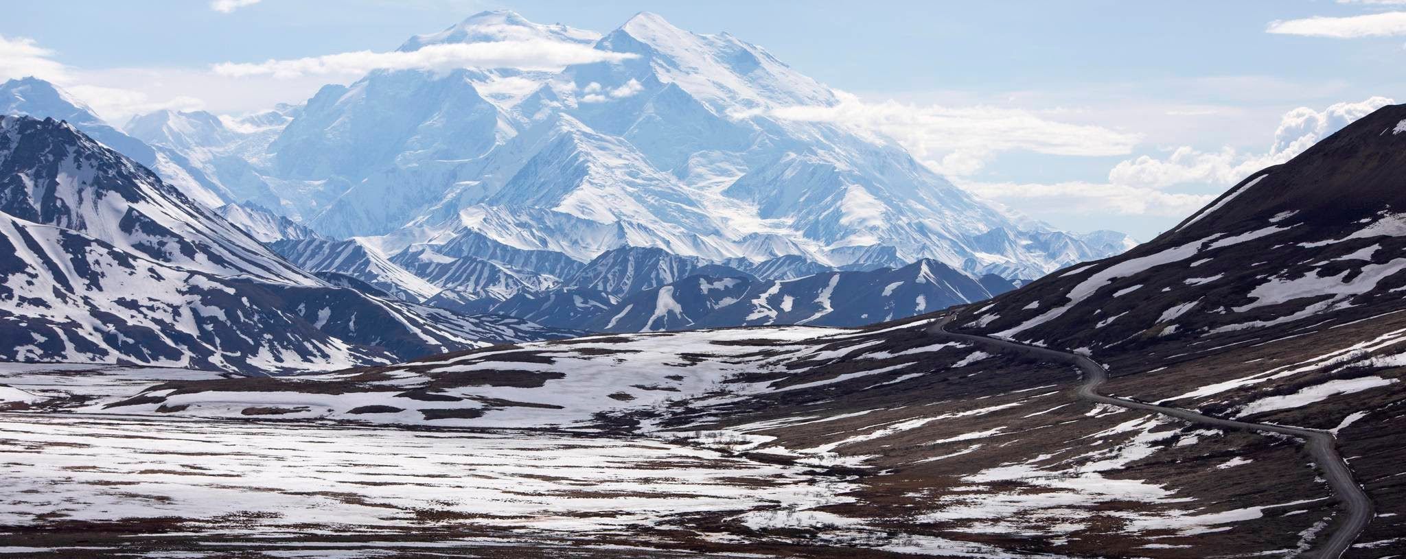
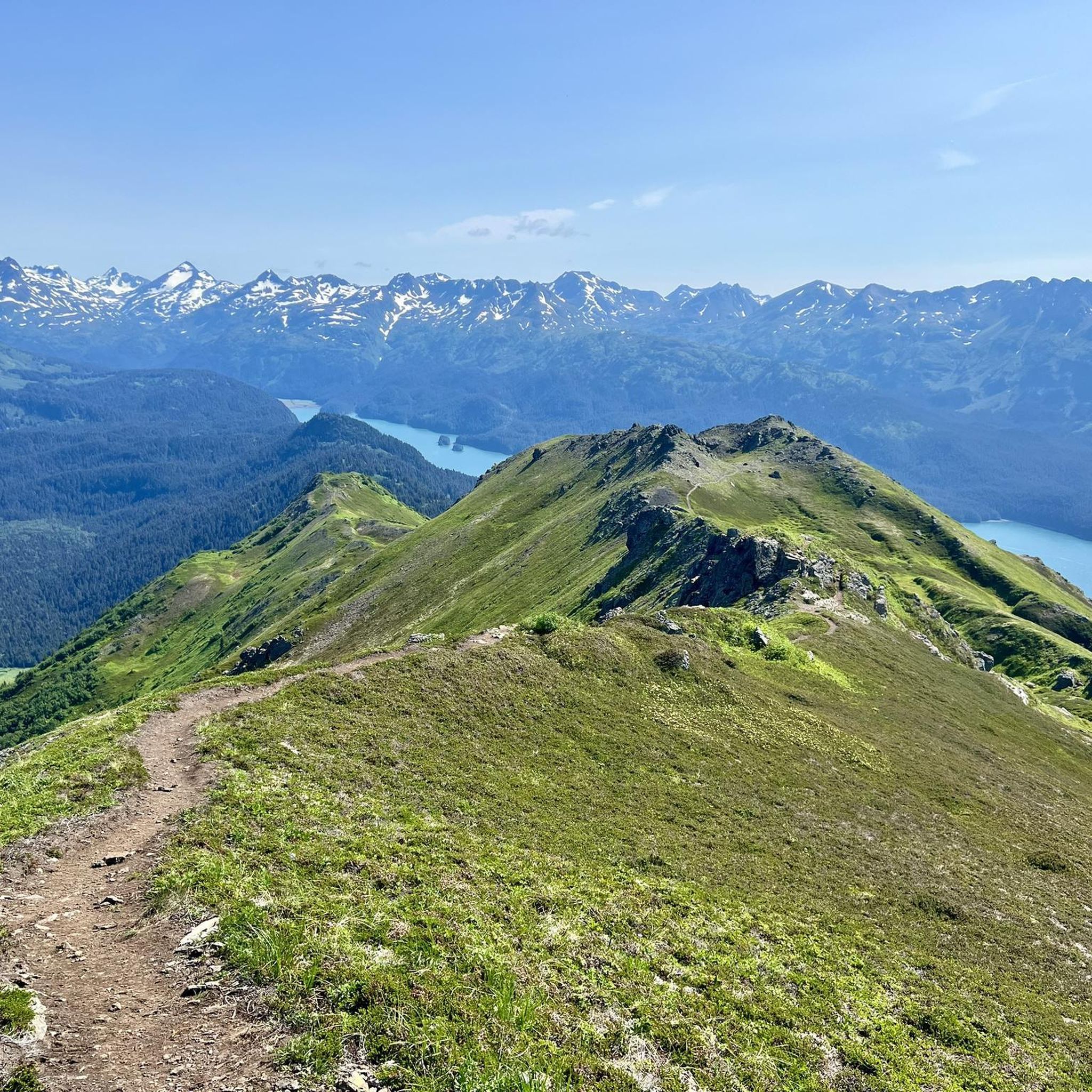
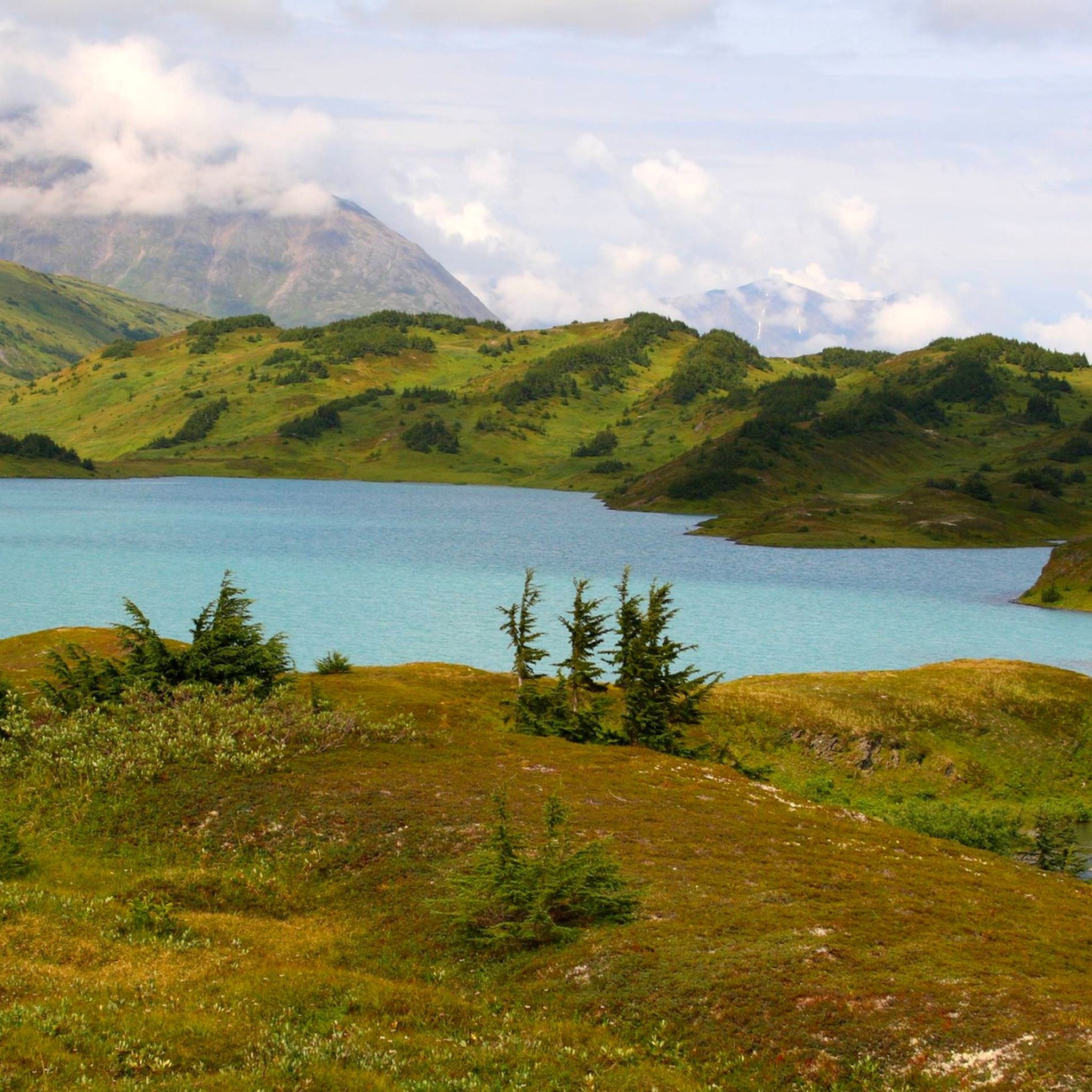
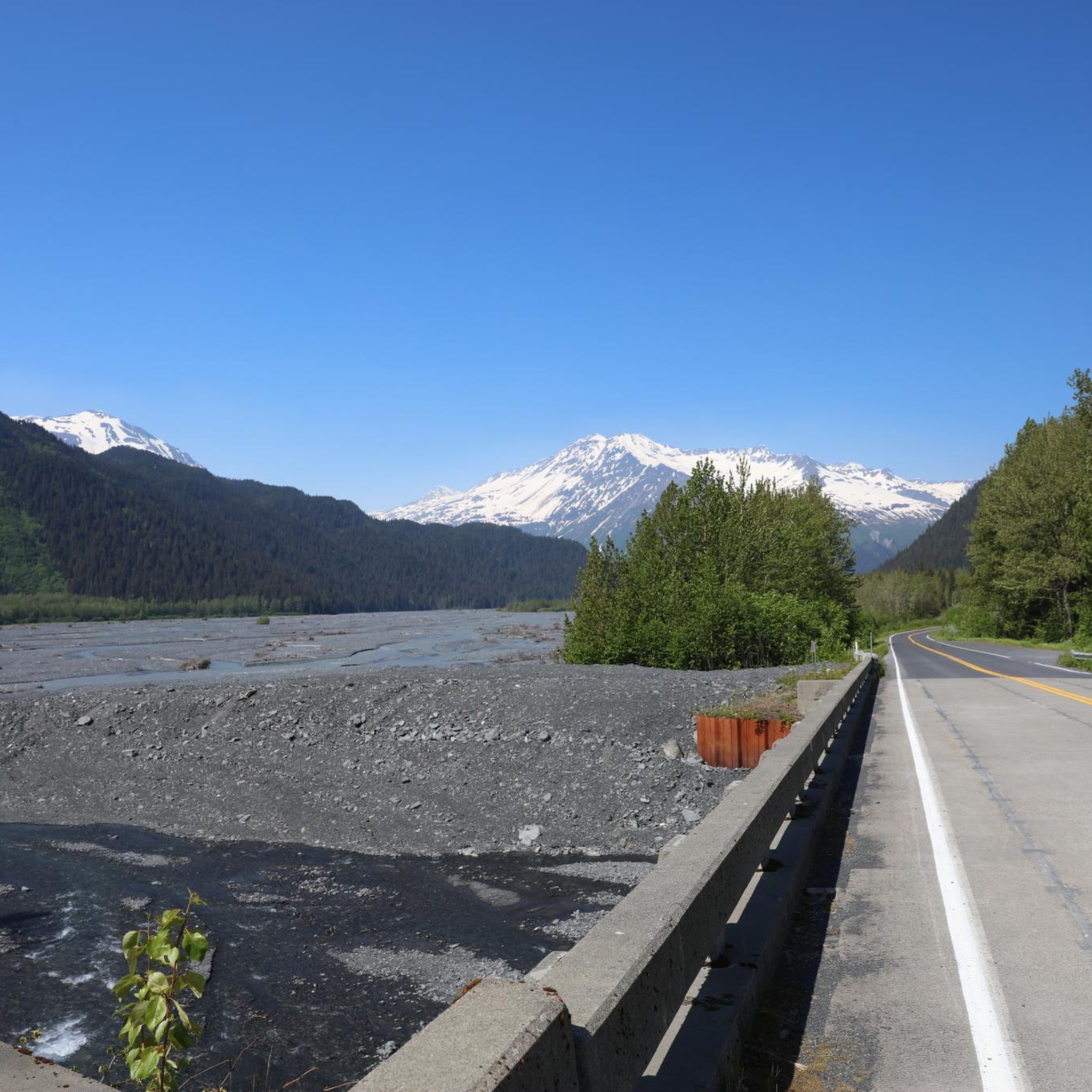
Hiking in the Kenai Mountains offers access to a landscape characterized by rugged peaks, expansive glaciers, and coastal fjords. This Alaskan region features diverse terrain, including dense forests, alpine lakes, and vast icefields. The mountains provide a dramatic backdrop for trails that range from accessible glacial walks to challenging backcountry expeditions. The region is known for its extensive icefields, such as the Harding Icefield, and numerous water bodies like Kenai Lake and the Kenai River.
Best hiking trails in the Kenai Mountains
- The most popular hiking route is Harding Icefield — Kenai Fjords National Park, an 8.6 miles (13.8 km) trail that takes 6 hours 27 minutes to complete. This challenging route leads to panoramic views of the immense Harding Icefield.
- Another top favourite among local hikers is Exit Glacier Loop — Kenai Fjords National Park, an easy 2.3 miles (3.7 km) path. This trail offers close-up views of Exit Glacier and its surrounding glacial landscape.
- Local hikers also love the Lost Lake Trail — Chugach National Forest, a 13.7 miles (22.0 km) trail leading through varied forest and alpine terrain, often completed in about 6 hours 29 minutes.
- Hiking in the Kenai Mountains is defined by towering mountains, active glaciers, and pristine alpine lakes. The network of trails offers options for various ability levels, from easy walks to demanding climbs.
- The routes in Kenai Mountains are highly rated by the komoot community with an average score of 4.5 stars from over 180 reviews. More than 2000 hikers have used komoot to explore Kenai Mountains's varied terrain.
Last updated: September 27, 2026
4.3
(4)
93
hikers
5.88km
01:42
160m
130m
Embark on the easy Tonsina Creek Trail, a 3.7-mile (5.9 km) hike that guides you through a vibrant coastal rainforest. You will experience lush spruce and hemlock forests, where ferns and moss create a verdant atmosphere. The route features a notable Bridge over Tonsina Creek before opening up to stunning coastal views of Resurrection Bay. With an elevation gain of 516 feet (157 metres), this journey typically takes around 1 hour and 41 minutes to complete. It's a perfect way to immerse yourself in the natural beauty of the area.
Planning your visit to Tonsina Creek Trail is straightforward, as the path is accessible throughout the year. The trailhead is conveniently located near Lowell Point, but be aware that a parking fee applies. If you plan to hike during the winter months, it is advisable to bring micro-spikes. These will provide better traction on any potentially icy sections you might encounter along the route. Consider starting your hike earlier in the day to fully enjoy the serene coastal environment.
The Tonsina Creek Trail is a highlight within the Lowell Point State Recreation Site and Caines Head State Recreation Area. It culminates at a picturesque, secluded beach, offering an ideal spot to relax and observe the coastline. Keep an eye out for local wildlife, especially salmon spawning in late summer, which adds a unique natural spectacle to your experience. This trail provides a tranquil escape with rich ecological features.
5.0
(8)
47
hikers
11.3km
03:05
180m
160m
Embark on the Grewingk Lake and Saddle Trail, a moderate hiking route that guides you through the diverse landscapes of Kachemak Bay State Park. You will traverse dense rainforests, spruce, and birch forests before reaching the stunning Grewingk Glacier Lake, where you can often spot icebergs floating in its glacier-fed waters with the towering glacier in the distance. This 7.0 miles (11.3 km) journey involves a total elevation gain of 604 feet (184 metres) and typically takes around 3 hours and 5 minutes to complete.
Accessing this trail requires a water taxi from Homer, Alaska, as it is only reachable by boat. This boat trip itself offers incredible coastal views and the chance to see marine wildlife, adding to the adventure. For a varied experience, consider the loop option, which allows you to start at Glacier Spit and finish at Saddle Trail, providing different perspectives of the area.
The Grewingk Lake and Saddle Trail stands out as a memorable Alaskan experience, offering spectacular views of Halibut Cove and the surrounding mountains from the Saddle Trail portion. The unique combination of glacier views, forest trekking, and marine access makes it a distinctive outing within Kachemak Bay State Park. It's an excellent way to immerse yourself in the wild beauty of this remote region.

4.7
(3)
25
hikers
12.9km
04:59
920m
920m
Embark on the Grace Ridge Trail for a challenging hike through diverse Alaskan landscapes. You will ascend from dense Sitka spruce forests into sub-alpine meadows, eventually reaching alpine ridges that offer expansive views of Eldred Passage and Sadie Peak. This difficult route covers 8.0 miles (12.9 km) with a significant elevation gain of 3018 feet (920 metres), typically taking around 4 hours and 59 minutes to complete.
To access the trail, you will primarily need a water taxi from Homer, as the trailheads, including South Grace, are located within Kachemak Bay State Park. Many hikers opt for a one-way journey, arranging a water taxi pick-up at the other end. Always check current conditions before you go, especially for snow above the treeline, which can obscure the path on the exposed 'knife' ridges.
The Grace Ridge Trail is a highlight within Kachemak Bay State Park, known for its dramatic scenery and wildlife. On a clear day, you might even spot four volcanoes in Cook Inlet from the ridge. Keep an eye out for local wildlife like mountain goats and eagles, which are often seen along this memorable route.
15
hikers
3.76km
01:01
50m
60m
The Russian River Falls Trail offers a truly special Alaskan experience, guiding you along a well-maintained gravel path through mixed spruce-birch forests. You'll find yourself immersed in a lush riparian canyon, with sections opening to views of the crisp Alaskan waters. The main draw is the Russian River Falls, where you can observe sockeye salmon leaping and potentially spot bears from safe viewing platforms.
This easy 2.3-mile (3.8 km) hike, with only 176 feet (54 metres) of elevation gain, is perfect for all skill levels and takes about 1 hour and 1 minute. Plan your visit between mid-June and late July for the best chance to see salmon and bears. Remember to practice bear awareness, and note there is an entry fee for the parking area.
Beyond the salmon and bears, the trail provides opportunities to see other wildlife like forest birds and moose. You'll also notice remnants of the 1969 Russian River Fire, adding a historical dimension to the landscape. This trail is also part of the larger Russian Lakes Trail system, offering connections for more extensive adventures.
5.0
(1)
8
hikers
11.1km
03:21
540m
80m
Embark on the Primrose Trail, a moderate hike that takes you through diverse Alaskan landscapes. You will transition from dense forests into expansive alpine areas, encountering lakes and rolling hills along the way. Keep an eye out for the striking turquoise waters of Kenai Lake and the towering peaks that define the wilderness. This route covers 6.9 miles (11.1 km) with an elevation gain of 1766 feet (538 metres), typically taking around 3 hours and 20 minutes to complete.
Planning your visit is best done during the summer months, as snow can linger in higher elevations well into July. The trail is generally clear and offers the best hiking conditions during this period. Be aware that the route is closed to motorized use in winter, so plan your trip accordingly for a smooth experience.
Located within the vast Chugach National Forest, this trail offers a chance to immerse yourself in Alaska's natural beauty. It connects Primrose Campground to Lost Lake, providing a clear journey through the region. You might spot abundant Alaskan wildlife, such as moose and eagles, amidst vibrant wildflowers, making it a memorable outdoor adventure.
6
hikers
3.43km
02:39
760m
760m
Embark on the Mount Marathon Race Trail, a challenging hike that takes you through lush, mossy temperate rainforests before breaking out into expansive alpine meadows. This moderate route covers 2.1 miles (3.4 km) and demands a significant elevation gain of 2503 feet (763 metres), typically requiring about 2 hours and 39 minutes to complete. As you ascend, you'll be rewarded with sweeping views of Resurrection Bay, the town of Seward, and the majestic Kenai Mountains, offering a true taste of the Alaskan wilderness.
Before you set out, be aware that the trail is known for its steep and rugged terrain, particularly if you explore sections associated with the famous race. Proper preparation is crucial; ensure you have appropriate gear and sufficient hiking experience for such a demanding ascent. While parking at the Mount Marathon Race Trailhead is generally available, it's always wise to check local conditions and availability before your visit to ensure a smooth start to your adventure.
This trail offers a unique opportunity to experience a route celebrated for its intense physical demands and stunning natural beauty. It leads you towards Race Point, a landmark that provides an exceptional vantage point to appreciate the vastness of the surrounding landscape. The combination of dense forest, open alpine, and panoramic vistas makes this a memorable journey for those seeking a rigorous yet rewarding outdoor experience in Chugach National Forest.
5.0
(1)
8
hikers
10.8km
03:32
480m
480m
Embark on the Lost Lake Winter Route and Clemens Cabin Access Trail, a moderate hike spanning 6.7 miles (10.8 km) with an elevation gain of 1564 feet (477 metres). This route typically takes about 3 hours and 32 minutes to complete. You will journey through enchanting mossy spruce and hemlock forests, which gradually give way to expansive high alpine landscapes. As you ascend, prepare for stunning vistas of the surrounding mountains and the rugged alpine terrain. A highlight is reaching the Dale Clemens Cabin, where you can gaze upon Resurrection Bay and the distant town of Seward, a truly rewarding view after your climb.
When planning your hike, be aware that this trail is specifically designed for winter conditions. The initial mile can be particularly icy, so it is highly recommended to bring microspikes or snowshoes, depending on the current snowpack. Always prioritize safety by checking for potential avalanche hazards, especially above the tree line. Be cautious of thin ice on the lake and be prepared for rapid weather changes that can occur quickly in this environment. Proper gear and vigilance are key for an enjoyable and safe winter adventure.
This route offers a unique opportunity to experience the Chugach National Forest in its winter splendor. Beyond the Dale Clemens Cabin, you will also encounter the serene 'magic Lost Lake' and its surrounding tarns, adding to the trail's distinctive charm. The trail's journey from dense forest to open alpine country provides a diverse and memorable experience, making it a notable winter destination for those seeking a challenging yet rewarding outdoor excursion in Alaska.
3.0
(1)
6
hikers
9.46km
02:36
160m
160m
Embark on a moderate 5.9 miles (9.5 km) hike along the Spencer Glacier Trail, where you'll gain 519 feet (158 metres) over an estimated 2 hours and 36 minutes. This route plunges you into a dramatic landscape of towering ice walls and the powerful Spencer Glacier itself. You'll witness Spencer Lake, often dotted with icebergs, creating a striking scene against the backdrop of the massive ice formation. The trail offers an immersive experience, making the sheer scale of nature feel incredibly close and tangible as you move through the Chugach National Forest.
Planning your trip to Spencer Glacier Trail requires a unique approach, as the primary access is by train. You will typically reach the trailhead via the Alaska Railroad's Glacier Discovery Train, which makes a special stop at the Spencer Glacier Whistle Stop. Consider booking a guided hike if you wish to gain deeper educational insights into the glacier and its surrounding ecosystem. For those looking to extend their adventure, both group campsites and dispersed camping options are available for overnight stays near the trail.
The Spencer Glacier Trail stands out for its direct engagement with a dynamic glacial environment, offering a rare opportunity to experience such a powerful natural force up close. This trail provides a unique perspective on the Chugach National Forest's vastness and its ongoing geological processes. It's an ideal choice if you are seeking a trail that combines accessible hiking with the awe-inspiring presence of a living glacier and its associated features.
3
hikers
6.27km
01:42
70m
90m
Embark on an easy hike along the Trail of Blue Ice, a scenic route that winds through Alaska's Chugach National Forest. You will experience diverse landscapes, from peaceful woods to expansive meadows, all while enjoying spectacular views of mountains and hanging glaciers, including the prominent Byron Glacier. This accessible trail covers 3.9 miles (6.3 km) with a gentle elevation gain of 236 feet (72 metres), making it perfect for a leisurely outing. Expect to complete the journey in about 1 hour and 41 minutes, with plenty of time to observe wildflowers and spot local wildlife as you pass by ponds and small streams.
Accessing the Trail of Blue Ice is straightforward, as it connects several developed recreation sites within Portage Valley. You can begin your adventure at the Begich Boggs Visitor Center, a convenient starting point that also provides exhibits and various amenities. Parking is typically available at these developed sites, ensuring you have easy access to the trailhead. This makes planning your visit simple, allowing you to focus on enjoying the natural beauty of the area.
Beyond the stunning glacial views, the trail offers unique opportunities for wildlife observation. Keep an eye out for spawning salmon at the Williwaw Fish Viewing Platform, a highlight for many visitors. The diverse ecosystem also means you might encounter larger animals like moose and bears in the vicinity. This route stands out for its blend of accessible hiking and rich natural encounters within a protected forest environment.
5.0
(1)
3
hikers
7.51km
03:12
1,070m
0m
Embark on the Hope Point Trail, a difficult hike that challenges you with a significant climb through Alaska's Chugach National Forest. You will cover 4.7 miles (7.5 km) and gain 3508 feet (1069 metres) in elevation, typically taking around 3 hours and 12 minutes to complete. As you ascend, you move from dense forest into open alpine meadows, where the views begin to unfold, offering glimpses of the vast Resurrection Creek Valley.
Planning your visit carefully is essential for this route. It is crucial to hike during warmer months, as winter conditions bring unsafe avalanche hazards. Make sure to carry plenty of water, because sources are limited once you pass the initial sections of the trail, and be ready for sudden weather changes and strong winds, especially as you approach the summit.
This trail is notable for its expansive vistas from Hope Point, where on clear days you can see across Turnagain Arm to the Kenai and Chugach Mountains, and even as far as Cook Inlet and Fire Island. Keep an eye out for seasonal wildflowers and potential wildlife sightings like moose or grouse, adding to the experience of this rewarding climb.
Get access to more routes and recommendations from other explorers.
Already have an account?
Our route recommendations are based on thousands of hikes, rides, and runs completed by other people on komoot.
Start today with a free account
Your next adventure awaits.


Other adventures in the Kenai Mountains

Tips from the Community

Spacious location far away from the hustle and bustle of Homer
0
0

I think the map Komoot is built on has Race Point in the wrong place - maybe someone can double-check me on that. Anyway, it should be right about here; there's a huge rock that runners use as a turnaround point during the famous Mount Marathon race. If you continue past that rock, the terrain gets really sketchy, really quickly. Unless you really, REALLY understand what you're getting into, I recommend going to and from this point using what's called the hiker's trail or hiker's route — a much gentler ascent/descent than the grueling race course, from which unsuspecting hikers often have to be rescued.
0
0
Despite the name, this is the northern access route for reaching Lost Lake. It's steeper than the southern route, so many thru-hikers prefer to start on this side, get the steep ascent out of the way, then enjoy a (somewhat) mellower descent on the other side.
0
0
Despite the difference in name, this is the northern access point for Lost Lake. This side is steeper than the southern route, so for many it's a hike-a-bike after a certain point.
1
0
This route to Lost Lake starts more or less in the middle of a small neighborhood. Don't worry, though — you'll quickly feel like you're out in the middle of nowhere. The elevation gain from here to Lost Lake is more gentle than if you come from the other direction; so this trail is a favorite of anyone who wants a gentler out-and-back, or as the exit route for thru-hikers who want a descent that's (relatively) easy on the knees.
0
0

The hike to Russian River Falls on the Kenai Peninsula takes you through Alaska's impressive nature on a well-developed and mostly flat path. The approximately 2-mile trail starts at the Russian River Campground and runs through dense forests that offer you a view of the native flora and fauna. The hike is relatively easy, making it ideal for relaxed exploration. At the end of the trail, two observation platforms await you, perfectly placed to experience the impressive waterfalls up close. This place comes alive especially during salmon season in summer. Thousands of salmon fight their way upstream here, and with a little luck you can even watch bears fishing - a unique spectacle of nature that will stay with you for a long time. Other wildlife, such as eagles and the occasional fox, also take advantage of the abundance of fish and make the scenery even more impressive. The chance of seeing animals is particularly high early in the morning or towards the evening. The Russian River Falls Trail is more than just a hike; It gives you the feeling of diving deep into Alaska's wild nature and offers an unforgettable experience for nature lovers and adventurers.
0
0
Once upon a time, you could see Portage Glacier from this viewpoint. Now it has receded behind a corner of the mountains, so from here you can only see the lake left behind by the glacier, and every so often a few icebergs might still float by. Still, the lake itself is wildly beautiful and the small visitor center nearby is interesting to visit... if it's open. More information here: https://www.fs.usda.gov/recarea/chugach/recarea/?recid=71946
1
0

Portage Lake is a popular destination near Anchorage, attracting visitors with its scenic allure. Once a site for icebergs, the lake's appearance has evolved due to glacier shifts. Though less frequent, glacier ice chunks still float by.
1
0
Frequently Asked Questions
How many hiking trails are available in the Kenai Mountains?
The Kenai Mountains offer a wide variety of hiking experiences, with over 60 routes documented on komoot. These range from easy strolls to challenging multi-hour expeditions, ensuring options for all skill levels.
What types of landscapes can I expect to see while hiking in the Kenai Mountains?
Hikers in the Kenai Mountains will encounter a dramatic blend of landscapes, including towering mountains, expansive glaciers, and coastal fjords. The region features diverse terrain from dense forests and pristine alpine lakes to vast icefields. You can experience close-up views of glaciers, rugged coastlines, and lush forest trails.
Are there any easy, family-friendly hikes in the Kenai Mountains?
Yes, the Kenai Mountains offer several easy trails suitable for families. A great option is the Exit Glacier Loop — Kenai Fjords National Park, which is an easy 2.3-mile path offering close-up views of the glacier. Another accessible choice is the Tonsina Creek Trail — Kenai Peninsula.
Where can I find challenging trails for experienced hikers?
For experienced hikers seeking a challenge, the Kenai Mountains provide several demanding routes. The Harding Icefield — Kenai Fjords National Park trail is a difficult 8.6-mile route leading to panoramic views of the immense icefield. Another challenging option is the Lost Lake Trail — Chugach National Forest, a 13.7-mile trail through varied terrain.
What is the best time of year to go hiking in the Kenai Mountains?
The best time for hiking in the Kenai Mountains is typically during the summer months, from June to September, when trails are mostly clear of snow and the weather is milder. This period offers the most accessible conditions for exploring the diverse terrain, from glacial paths to alpine lakes.
Can I spot wildlife while hiking in the Kenai Mountains?
Absolutely! The Kenai Peninsula is renowned for its abundant wildlife. Hikers frequently encounter over 30 species of mammals, including bears, moose, and sea otters. Birdwatching is also popular, with bald eagles often sighted. For a specific wildlife viewing opportunity, consider the Russian River Falls loop, which is known for bear viewing, especially during salmon runs. You can also visit the Russian River Falls Bear Viewing highlight.
Are there any trails that feature waterfalls or scenic lakes?
Yes, the Kenai Mountains are home to numerous pristine alpine lakes and waterfalls. The Russian River Falls loop leads to a notable waterfall. For scenic lakes, consider the Ptarmigan Creek Trail which leads to Ptarmigan Lake, or the Grewingk Lake Trail. You can also explore highlights like Grewingk Lake or the Shoreline of Portage Lake.
What do other hikers say about the trails in the Kenai Mountains?
The trails in the Kenai Mountains are highly regarded by the komoot community, holding an average rating of 4.5 stars from over 150 reviews. Hikers frequently praise the breathtaking views of glaciers and icefields, the diverse terrain, and the opportunity to experience true Alaskan wilderness.
Are there any loop hikes available in the Kenai Mountains?
Yes, there are several loop options for hikers. The Exit Glacier Loop — Kenai Fjords National Park is a popular easy loop. Another moderate loop is the Russian River Falls loop — Chugach National Forest, offering a chance to see wildlife.
What are some notable landmarks or attractions to see near the hiking trails?
Beyond the trails themselves, the Kenai Mountains region offers several significant attractions. You can visit Exit Glacier for an accessible glacial experience, or explore the Shoreline of Portage Lake. The region also features historical sites like World War II bunkers and mining ruins along some trails, adding a historical dimension to your hike.
Are there any trails that offer panoramic viewpoints?
Many trails in the Kenai Mountains provide stunning panoramic views. The Harding Icefield Trail is particularly known for its 'on top of the world' views of the vast Harding Icefield. The Portage Pass Trail also offers impressive vistas.
What should I pack for a hike in the Kenai Mountains?
Given the varied and often unpredictable Alaskan weather, it's essential to pack layers, including waterproof and windproof outer shells. Sturdy hiking boots are a must, along with plenty of water, snacks, and navigation tools. Bear spray is also highly recommended due to the prevalence of wildlife in the region.
Most popular routes in the Kenai Mountains
Most popular attractions in the Kenai Mountains

Get inspired with the komoot mobile app


Explore more
Browse the best Hikes in other regions.
