The best walks and hikes around Kemnath
4.7
(422)
1,492
hikers
153
hikes
Hiking around Kemnath offers diverse landscapes characterized by rolling hills, dense forests, and numerous lakes. The region features unique geological formations, including remnants of ancient volcanoes like the Rauhe Kulm and Waldecker Schlossberg. Hikers can explore rocky, forested mountains within the Steinwald Nature Park, which also contains distinctive rock formations. This varied terrain provides a range of experiences for outdoor enthusiasts.
Best hiking trails around Kemnath
- The most popular hiking route is Rauher Kulm Lookout Tower – Rauher Kulm Lookout…
Last updated: October 2, 2026
4.6
(32)
116
hikers
9.65km
02:47
250m
240m
Moderate hike. Good fitness required. Easily-accessible paths. Suitable for all skill levels.
4.3
(17)
69
hikers
21.6km
06:09
480m
480m
Hard hike. Very good fitness required. Easily-accessible paths. Suitable for all skill levels.

4.7
(43)
162
hikers
Moderate hike. Good fitness required. Easily-accessible paths. Suitable for all skill levels.
4.8
(18)
47
hikers
5.37km
01:31
120m
120m
Easy hike. Great for any fitness level. Easily-accessible paths. Suitable for all skill levels.
4.8
(8)
27
hikers
10.5km
02:56
200m
200m
Moderate hike. Good fitness required. Easily-accessible paths. Suitable for all skill levels.
Get access to more routes and recommendations from other explorers.
Already have an account?
Our route recommendations are based on thousands of hikes, rides, and runs completed by other people on komoot.
Start today with a free account
Your next adventure awaits.
Popular around Kemnath
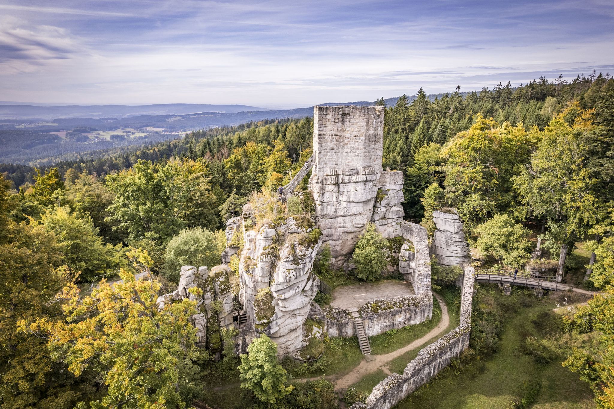
On the 'Kultouren' through the Upper Palatine Forest
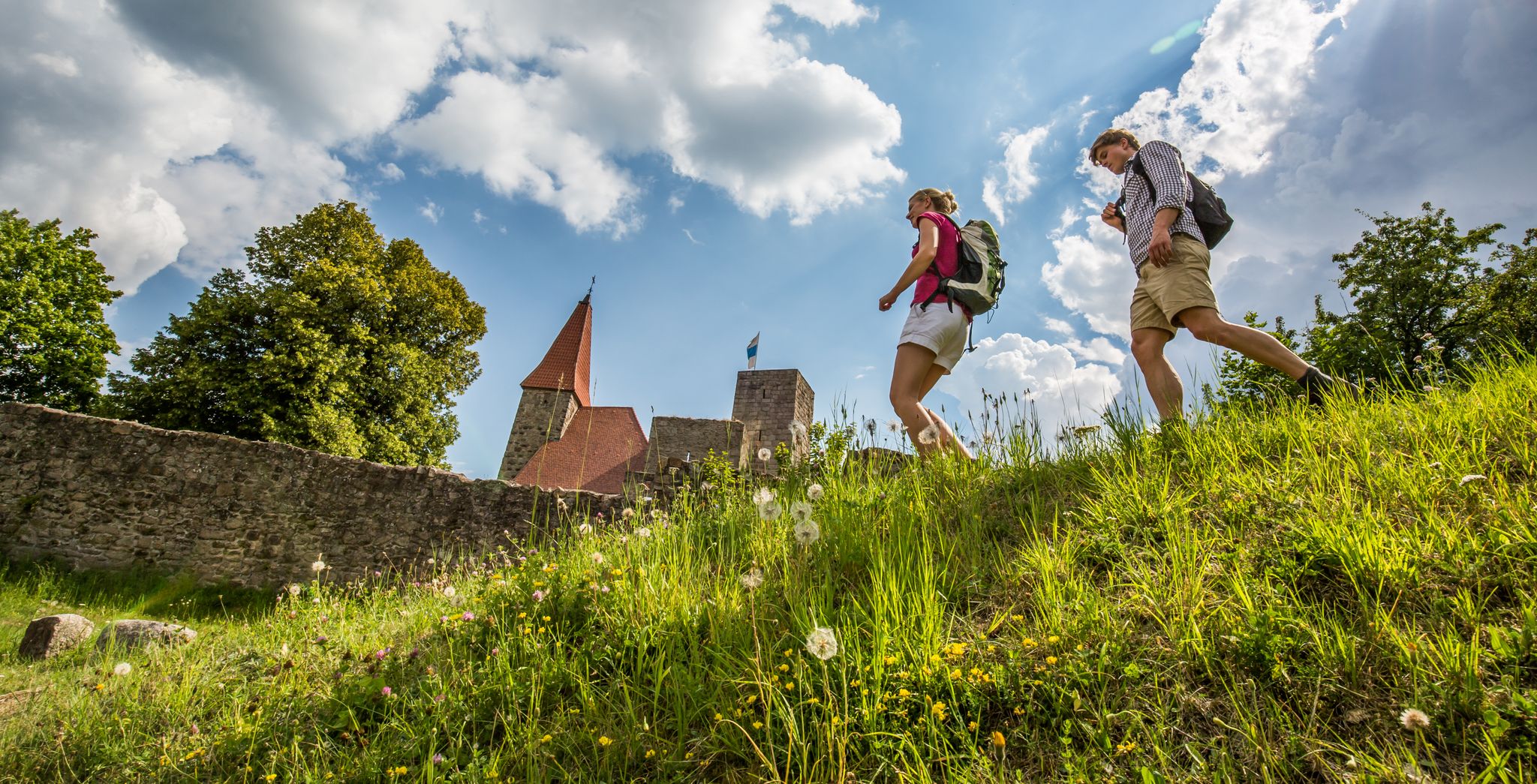
Water, forest and castles — hiking in the Upper Palatinate Forest
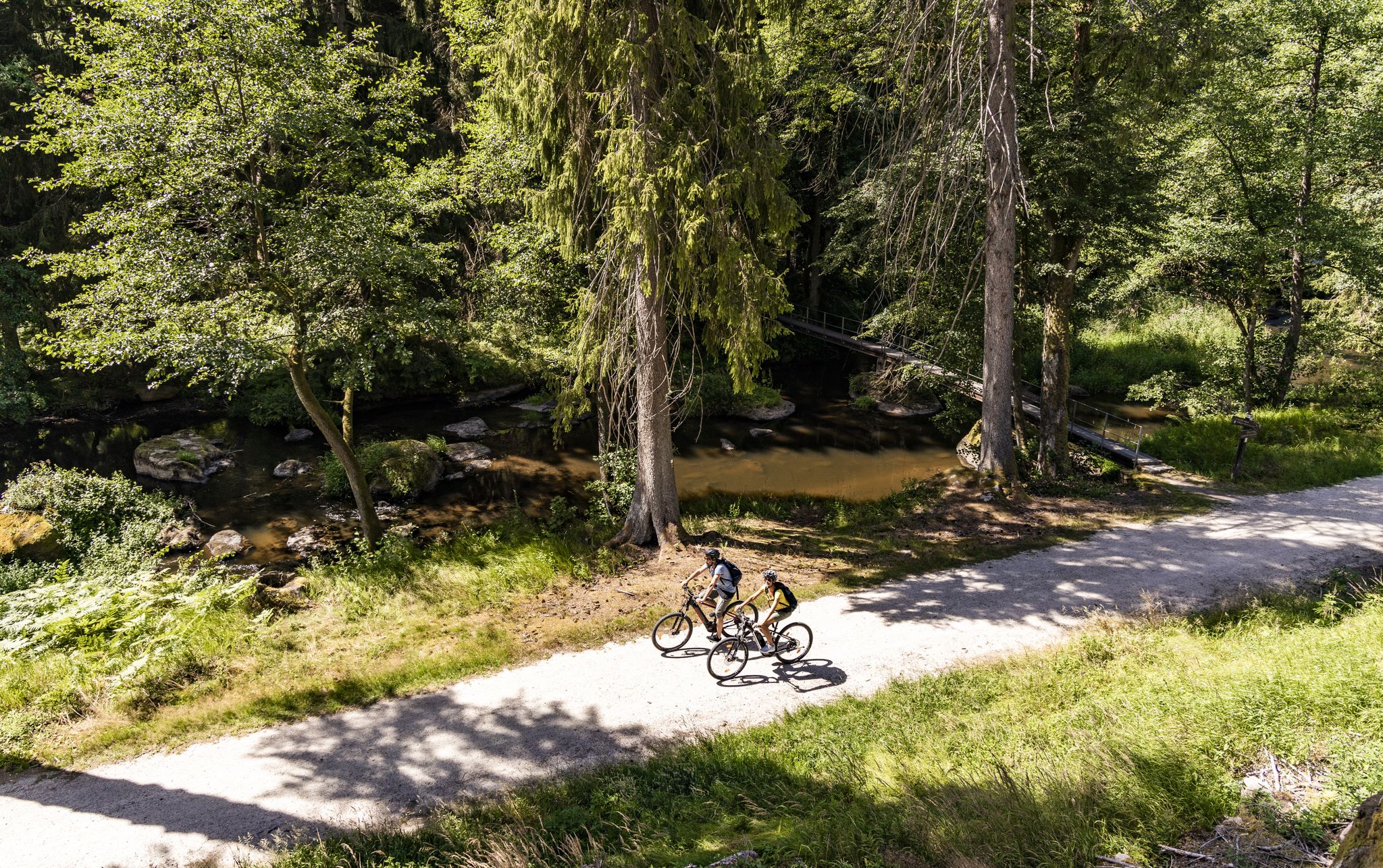
Your cycling adventure in the Upper Palatinate – Oberpfälzer Radl-Welt
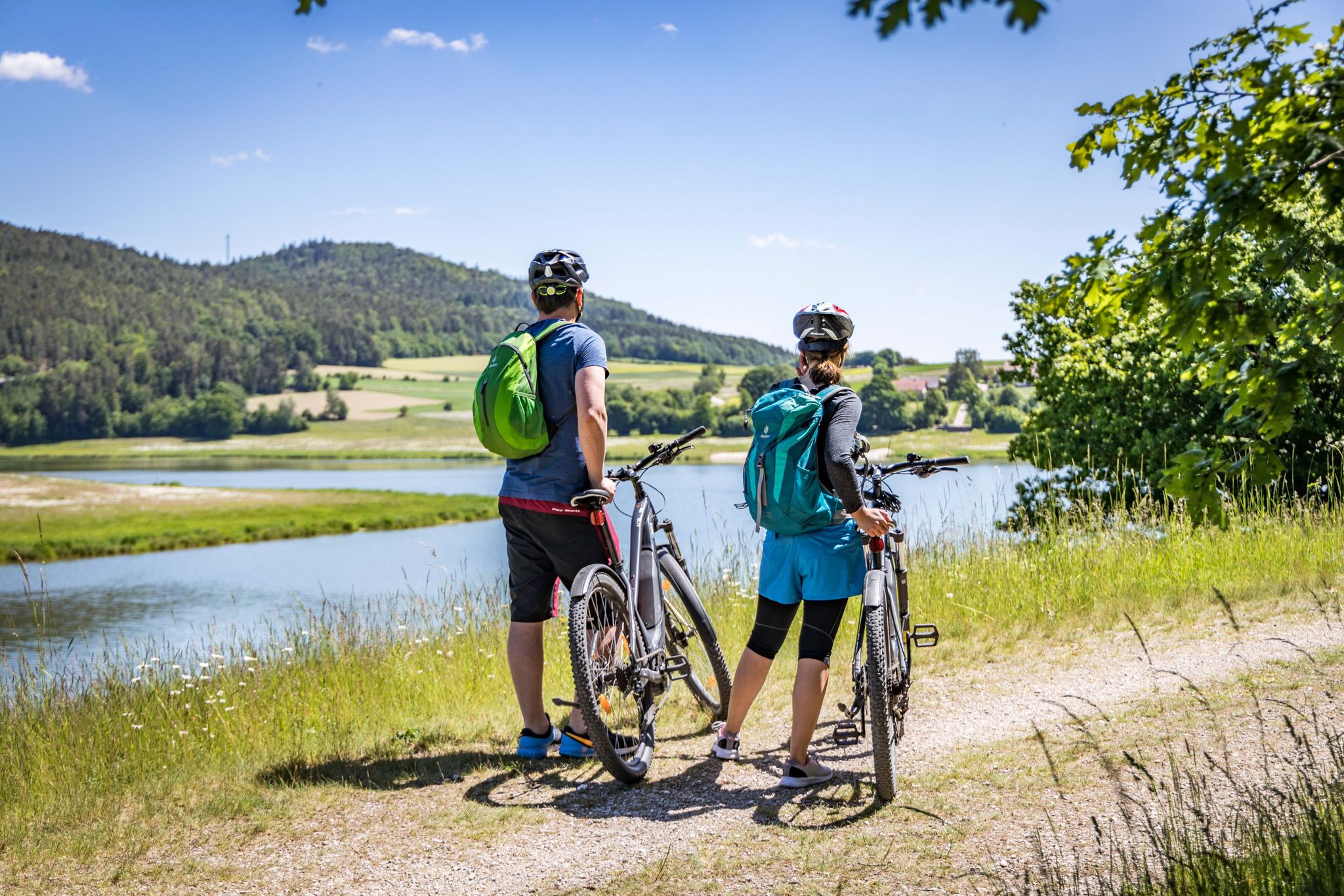
Cycling by the water in the Upper Palatinate Forest
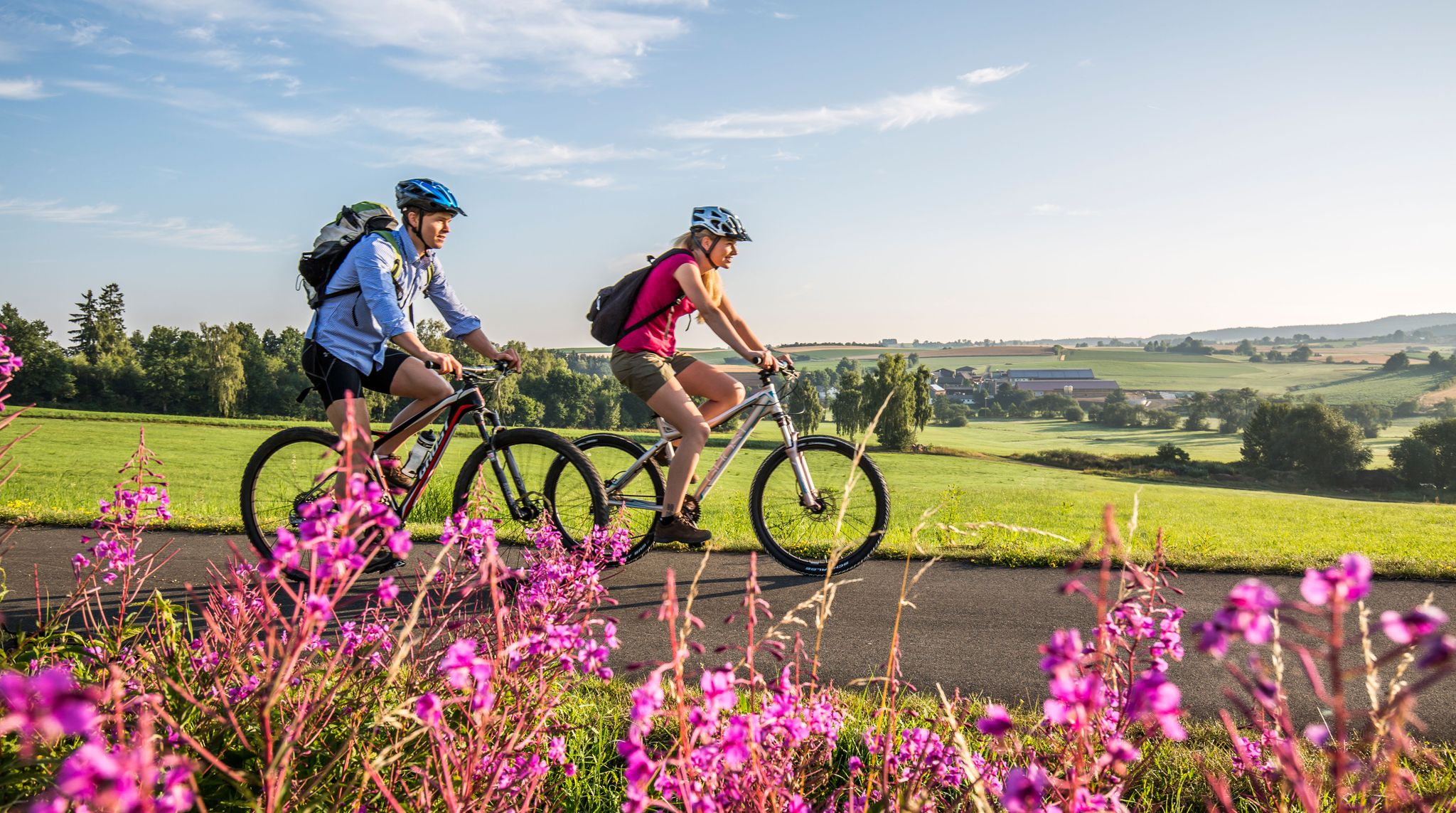
Nature and Culture — Cycling in the Upper Palatinate Forest
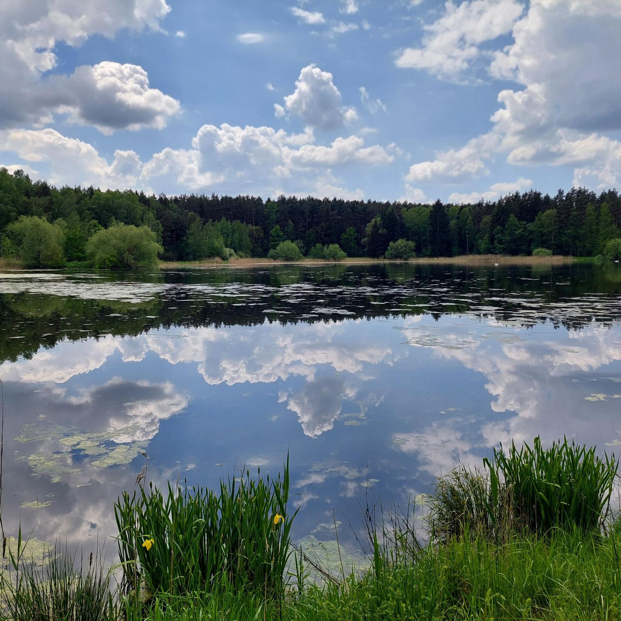
Cycling around Kemnath
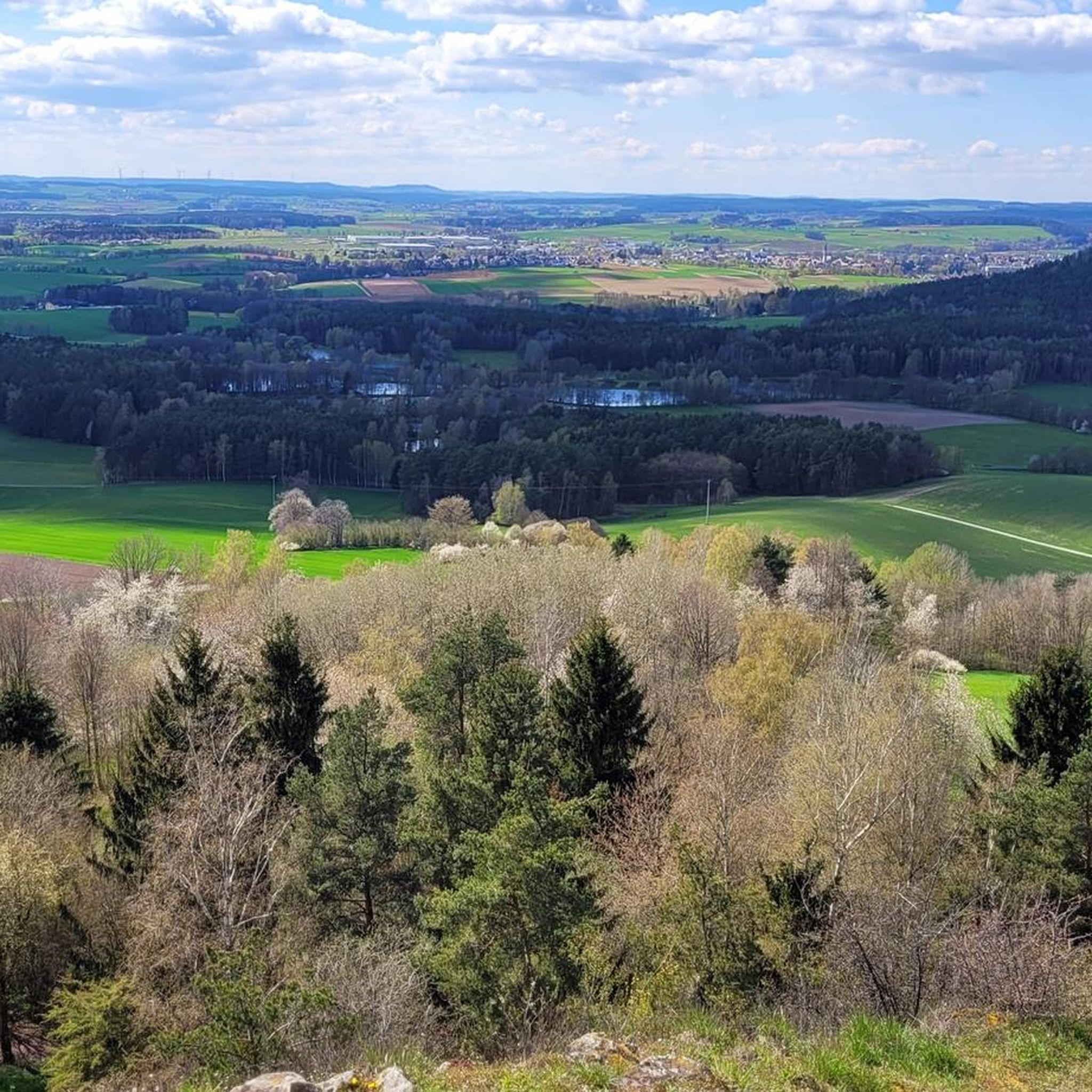
Road Cycling Routes around Kemnath
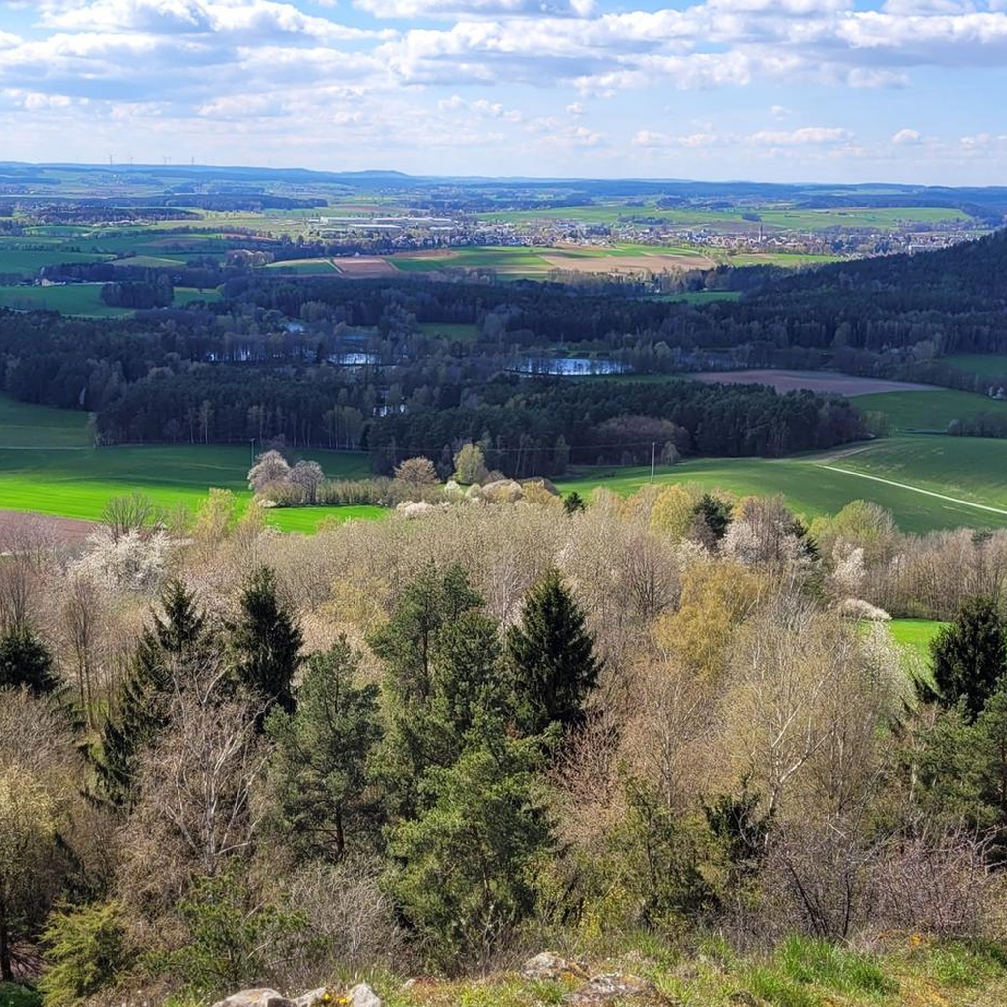
Running Trails around Kemnath
MTB Trails around Kemnath

Gravel biking around Kemnath
Other adventures around Kemnath

Tips from the Community

Burgstall Rauhenkulm There are no reliable sources regarding the origin of the high medieval castle. Although the deed of foundation of the Benedictine monastery Michelfeld from 1119 states that Bucco de Culmen of Leuchtenberg had a residence on one of the two Kulms. He would thus be the first scientifically documented lord of the castle. However, it is unclear whether Rauhe Kulm or Kleine Kulm is meant. It is conceivable, but unlikely, that it was a building in the village of Kulmain. Excavations have brought shards, arrowheads, crosses, and coins from this period to light. According to Losert, the construction of the Rauher Kulm rampart was part of Emperor Otto I the Great's strategy to contain the impending danger from the Hungarians. Sandstone, timber framing, and bricks were used in the construction of the castle around 950. In addition to military use, the castle was also inhabited by women and children, as evidenced by various finds, including several spindle whorls, a weaving sword, and a large iron knife. Burgrave Friedrich III of Nuremberg acquired the castle, including the associated places, from the Landgraves of Leuchtenberg in 1281. The former tower was part of the margravial signaling system. During the Second Margravial War under Margrave Albrecht Alcibiades, the castle, as well as the Schlechtenkulm castle on Kleine Kulm, was destroyed in 1554. Before the destruction, both castles were besieged for about a year by troops from the imperial cities of Nuremberg, Bamberg, Würzburg, and Bavaria under the command of the electoral district administrator Hans Umseher von Waldeck, and the inhabitants were starved. The fortress commander von Heydenab surrendered the fortress on Rauhen Kulm on June 28, 1554. Afterwards, it was blown up with screws, the triple walls were razed and destroyed. Stones from the medieval ramparts of both castle sites were later used in part to reinforce the city walls of Neustadt. Today, only traces of the terrain are visible of the Burgstall Rauhenkulm. Remains of the surrounding rampart and the location of the tower in close proximity to the current observation tower are recognizable. The cartographer Johann Christoph Stierlein created the first very accurate topographical map of the mountain with the ruin. Source: www.wikipedia.de
5
0

Below the cemetery, there is a large car park which can be used free of charge. From here you can visit the Waldeck castle ruins or take one of the numerous hiking trails.
0
0

From Zwergau you have a great view over the Kemnather Land and the rauhen Kulm
1
0

Standing right in the bend of the beautiful market square.
1
0
Beautiful colorful houses and cobblestones
2
0
Part of the Waldeck Marterlweg
1
0
Here in Waldeck there are also many of these old barns, which originally formed a kind of wall around the village centre
1
0
The Stations of the Cross have been redesigned. Unfortunately, the church was closed. I would definitely visit the signposted viewpoint. Parking is available just below at the Messnerhaus restaurant, which is also recommended.
3
0
Frequently Asked Questions
How many hiking trails are available around Kemnath?
Kemnath offers a wide variety of hiking experiences with over 150 trails recorded on komoot. These routes traverse diverse landscapes, including rolling hills, dense forests, and unique geological formations.
Are there easy hiking trails suitable for beginners or families?
Yes, Kemnath is very welcoming for beginners and families, with over 80 easy trails available. A good option is the Waldeck Castle Ruins loop from Kemnath, which is about 5.9 km and takes around 1 hour 45 minutes, leading to historic ruins with panoramic views.
What kind of natural features can I expect to see on hikes in Kemnath?
The region is rich in natural features. You can explore the rocky, forested mountains of the Steinwald Nature Park, home to unique rock formations like the Zipfeltannenfelsen and the Steinwald-Sphinx. The area also features remnants of ancient volcanoes, such as the prominent basalt cone mountains like Waldecker Schlossberg and Rauhe Kulm, offering fascinating geological insights.
Are there any challenging long-distance hikes in the Kemnath area?
For experienced hikers seeking a challenge, the GEO adventure trail Kemnather Land - Steinwald nature reserve is a demanding 21.6 km route. It requires very good fitness and typically takes over 6 hours to complete, showcasing the region's geological significance and varied terrain.
What are some notable landmarks or viewpoints along the hiking routes?
Hikers can discover several interesting landmarks and viewpoints. The Oberpfalzturm Observation Tower on Platte offers expansive views, potentially reaching the Bavarian Forest on clear days. The Weißenstein Castle Ruins and the Trinity Chapel in the Steinwald are also significant points of interest. The Waldeck Castle Ruins provide panoramic vistas over the Kemnather Land.
Are there circular hiking routes available in Kemnath?
Yes, many trails in Kemnath are designed as circular routes, allowing you to start and end at the same point. An example is the Rauher Kulm Lookout Tower loop from Kemnath-Neustadt, a moderate 10.9 km trail that offers excellent views from the observation tower.
Can I bring my dog on the hiking trails in Kemnath?
Generally, dogs are welcome on hiking trails in Kemnath. However, it's always advisable to keep your dog on a leash, especially in nature reserves like the Steinwald Nature Park, to protect wildlife and ensure a pleasant experience for all hikers. Please respect local signage regarding dog regulations.
Are there any hikes that pass by lakes or water features?
The Kemnath region is dotted with numerous lakes and ponds. While specific routes passing directly by them are varied, you can find highlights like the Kahrweiher Recreation Area and the Großer Hirschbergweiher. The Fichtelsee, located between the Steinwald and Fichtelgebirge nature parks, also offers shaded paths around its waters.
What do other hikers enjoy most about hiking in Kemnath?
The komoot community highly rates the hiking experience in Kemnath, with an average score of 4.7 stars from over 350 reviews. Hikers often praise the region's diverse landscapes, the unique geological formations, and the well-maintained trails that cater to various fitness levels. The panoramic views from points like the Rauher Kulm Lookout Tower are also frequently highlighted.
Is public transport available to reach hiking trailheads in Kemnath?
While Kemnath has some public transport options, direct access to all trailheads via public transport can be limited. It's recommended to check local bus schedules in advance or consider driving to the starting points, where parking is often available. For specific routes, local tourist information can provide the most up-to-date advice.
Are there any hikes that offer views of the Fichtelgebirge mountains?
Yes, many hiking trails in the Kemnath region provide expansive views that extend towards the Fichtelgebirge mountain range. The Marterlweg near Waldeck, for instance, winds through hills that offer glimpses of the broader landscape, including the distant Fichtelgebirge.
What is the best time of year to go hiking in Kemnath?
Kemnath offers hiking opportunities throughout the year. Spring brings blooming nature, while summer provides warm weather for longer excursions. Autumn is particularly scenic with vibrant fall foliage. Winter hiking is also possible, especially on lower elevation trails, though conditions can vary. Always check local weather forecasts before heading out.
Most popular attractions around Kemnath

Get inspired with the komoot mobile app


Explore more
Browse the best Hikes in other regions.
