The best road cycling routes around Kefenrod
4.4
(270)
2,569
riders
116
rides
Road cycling routes around Kefenrod offer diverse terrain situated between the Vogelsberg volcanic mountain range and the Wetterau region. This area features rolling hills, wide open fields, and picturesque low mountain ranges, providing varied cycling experiences. The Nidder River Valley meanders through green meadows and idyllic villages, offering serene backdrops for rides. The region's road network includes asphalt roads, forest paths, and agricultural roads.
Best road cycling routes around Kefenrod
- The most popular road cycling route is View of Brachttal…
Last updated: August 11, 2026
4.5
(12)
100
riders
58.3km
02:27
420m
430m
Moderate road ride. Good fitness required. Mostly well-paved surfaces and easy to ride.
4.6
(8)
90
riders
38.7km
01:38
180m
180m
Moderate road ride. Great for any fitness level. Some segments of this route may be unpaved and difficult to ride.

Sign up for free
4.5
(10)
65
riders
57.5km
02:29
440m
440m
Moderate road ride. Good fitness required. Mostly well-paved surfaces and easy to ride.
5.0
(1)
12
riders
67.9km
03:01
630m
630m
Moderate road ride. Good fitness required. Mostly well-paved surfaces and easy to ride.
4.0
(2)
19
riders
25.7km
01:01
100m
100m
Easy road ride. Great for any fitness level. Mostly well-paved surfaces and easy to ride.
Get access to more routes and recommendations from other explorers.
Sign up for free
Already have an account?
Our route recommendations are based on thousands of hikes, rides, and runs completed by other people on komoot.
Start today with a free account
Your next adventure awaits.
Login or Signup
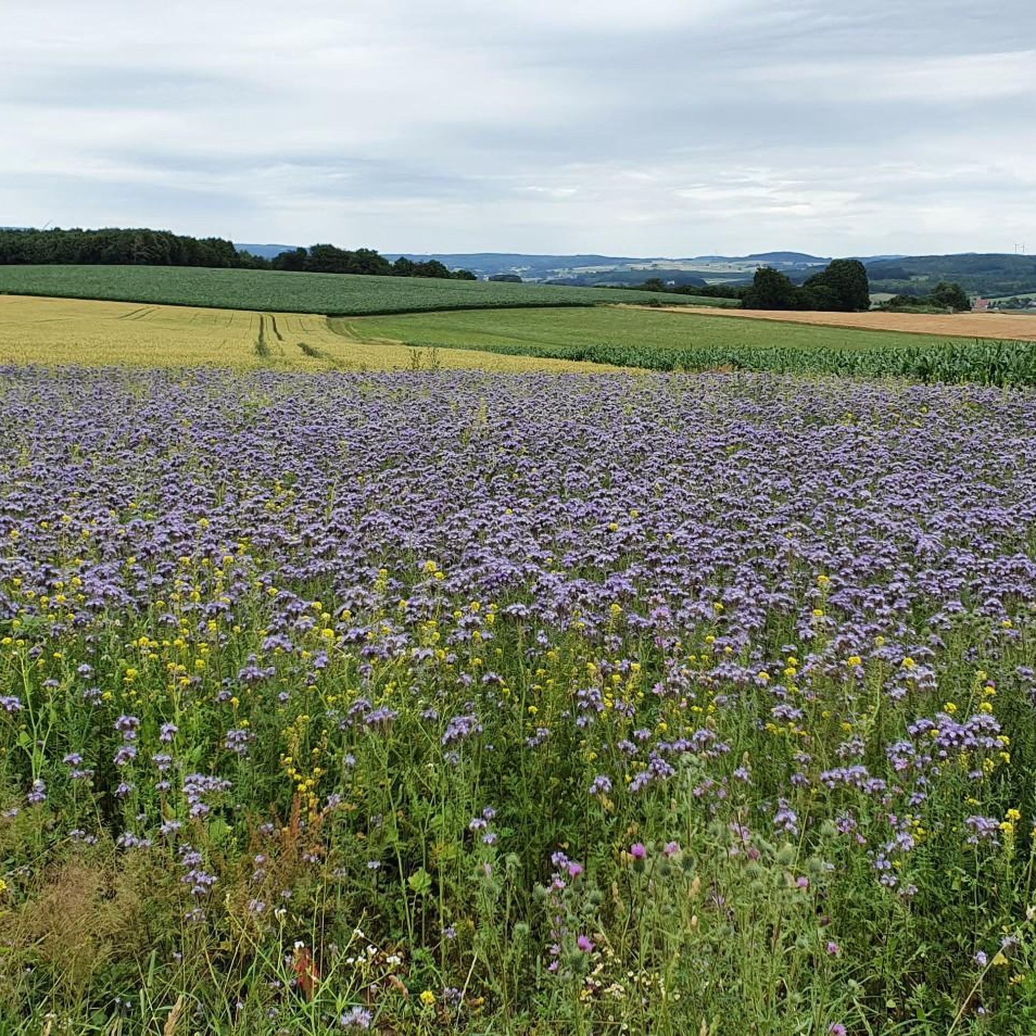
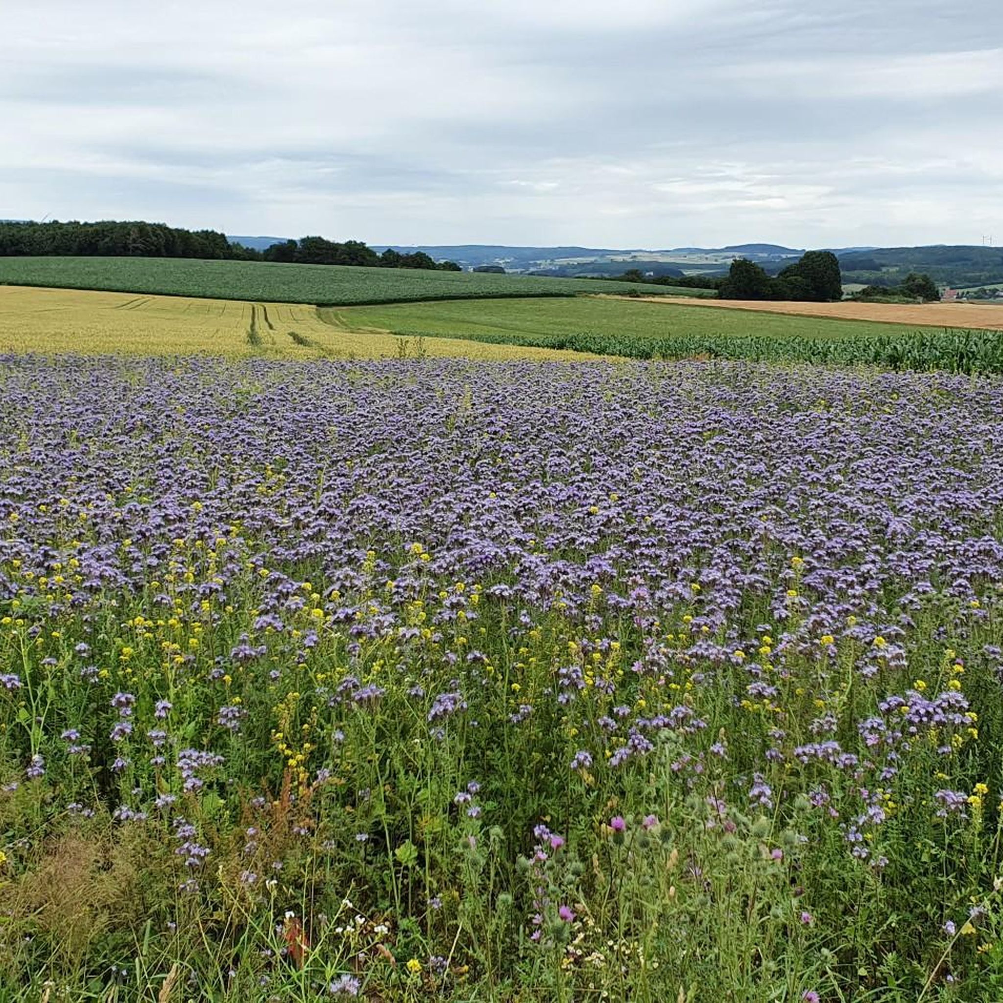
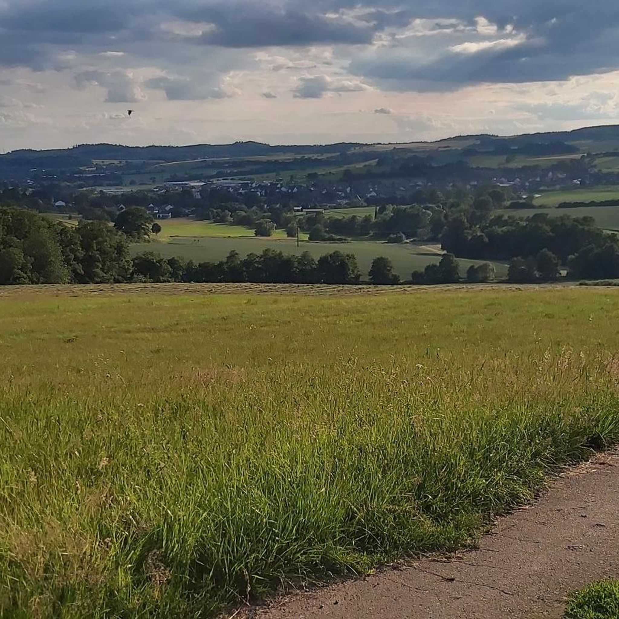
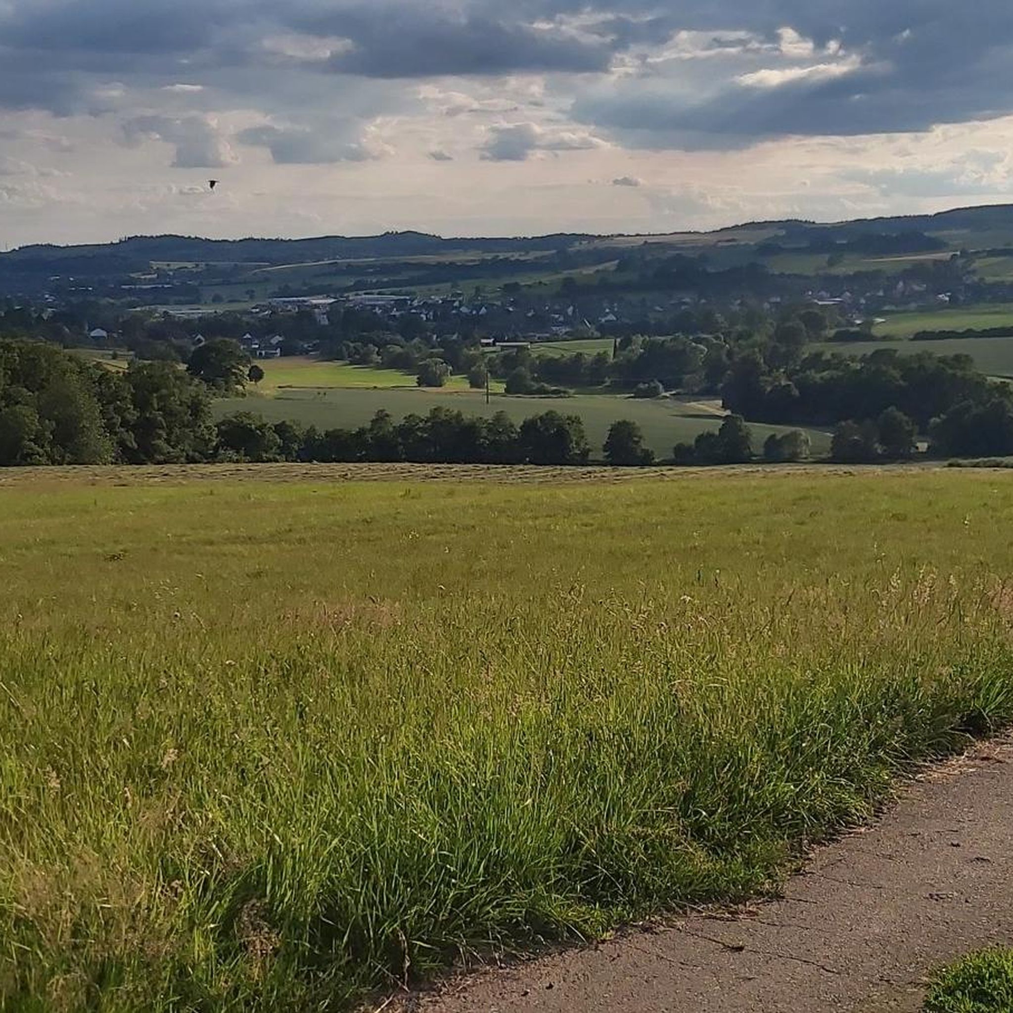
Tips from the Community

Today's useRecreation: The area around the body of water serves as a popular recreational spot with an approximately seven-kilometer circular path for cyclists and walkers. Ardea's Lake World: A special educational and experiential trail with 16 stations playfully informs visitors about local nature, bird protection, and dam technology.
1
0
Purpose and Function Flood protection: It is considered one of the most important protective measures against floods caused by the Kinzig river, which are triggered, among other things, by inflows from the Vogelsberg region. Energy generation: A small turbine system for electricity generation is directly integrated into the dam. Low water regulation: In dry periods, the reservoir helps to keep the water level of the Kinzig river stable.
1
0
Construction and costsConstruction period: Work on the dam began in 1976 and was completed in 1982 (dam construction and initial impoundment took place from 1976–1979). Construction costs: The construction of the lake and the dam cost around 70 million German Marks at the time. Technical data: The dam is 14 meters high. The basin has a maximum extent of up to 125 hectares and a capacity of approximately 7.2 million cubic meters of water.
1
0
The Kinzig reservoir (Kinzigtalsperre) was built between 1976 and 1982 and primarily serves flood protection, low water augmentation, and power generation. The approximately 70-hectare retention basin in Hesse is located between Bad Soden-Salmünster and Steinau an der Straße (district Ahl) and is operated by the Kinzig Water Association.
1
0

It is strongly noticeable here that komoot now only inserts landscape photos into highlights, which is why many photos appear cropped. A shame.
0
0


Cars occasionally drive over the bridge here too.
1
0
Here is a good asphalted path along the "Salz".
2
0
Frequently Asked Questions
How many road cycling routes are available around Kefenrod?
There are over 120 road cycling routes available around Kefenrod, offering a wide variety of options for different skill levels and preferences. The komoot community has explored these routes over 2,500 times.
What kind of terrain can I expect when road cycling in Kefenrod?
Kefenrod's unique location between the Vogelsberg volcanic mountain range and the Wetterau region offers diverse terrain. You can expect a mix of rolling hills, wide open fields, and picturesque low mountain ranges. Routes often follow the serene Nidder River Valley, providing a blend of asphalt roads, forest paths, and agricultural roads.
Are there routes suitable for different difficulty levels?
Yes, Kefenrod offers road cycling routes for all abilities. Out of 120 routes, 25 are classified as easy, 79 as moderate, and 16 as difficult, ensuring there's a suitable challenge for every cyclist.
What are some notable landmarks or attractions I can see along the road cycling routes?
Many road cycling routes in Kefenrod pass by historical and natural attractions. You might encounter impressive castles like Wächtersbach Castle or Gedern Castle. The area also features charming historical sites such as Büdingen Old Town, offering cultural stops during your ride.
What do other road cyclists enjoy most about the routes in Kefenrod?
The road cycling routes in Kefenrod are highly rated by the komoot community, with an average score of 4.5 stars from over 240 reviews. Cyclists frequently praise the varied terrain, scenic views of areas like Brachttal, and the well-developed network of paths that cater to different experiences.
When is the best time of year to go road cycling in Kefenrod?
The best times for road cycling in Kefenrod are spring and summer, when temperatures are mild and nature is vibrant. Autumn also provides a beautiful setting with colorful trees, creating a picturesque backdrop for your rides.
Are there any long-distance road cycling routes available?
Yes, there are several longer routes. For example, the "View of the Valley – Wächtersbach Castle loop from Birstein" is a moderate 43-mile (69.3 km) route with significant elevation gain, offering a more extended cycling experience.
Are there family-friendly road cycling options in Kefenrod?
While specific 'family-friendly' designations for road cycling can vary, the region offers 25 easy routes that are generally suitable for less experienced riders or families. These routes often feature gentler gradients and scenic paths through meadows and villages, such as parts of the Nidder River Valley.
Where can I find parking for road cycling routes in Kefenrod?
Many road cycling routes around Kefenrod start from towns and villages that offer public parking facilities. For specific trailheads, you can often find parking information within the individual route descriptions on komoot, such as near the starting points in Hitzkirchen or Brachttal.
Can I combine my road cycling trip with public transport?
Kefenrod and the surrounding Wetterau district have public transport connections, though specific bike carriage policies can vary. It's advisable to check local train or bus operator websites for their current regulations regarding bicycle transport, especially during peak times.
Are there any routes that feature a reservoir or significant water bodies?
Yes, the "View of Brachttal – Kinzig Reservoir loop from Brachttal" is a popular moderate route that winds through picturesque landscapes, including views of the Kinzig Reservoir, offering a refreshing change of scenery.
What is the typical elevation gain on road cycling routes in Kefenrod?
The elevation gain varies significantly depending on the route. For instance, an easy route like "View of Brachttal – Heublos Bridge loop from Brachttal" has around 350 feet (107 meters) of elevation gain, while a moderate route such as "View of the Valley – Wächtersbach Castle loop from Birstein" can have over 2,160 feet (660 meters) of ascent, reflecting the region's rolling hills.
Most popular attractions around Kefenrod

Get inspired with the komoot mobile app


Explore more
Browse the best Road cycling routes in other regions.
