The best gravel rides around Kefenrod
4.7
(8)
58
riders
32
rides
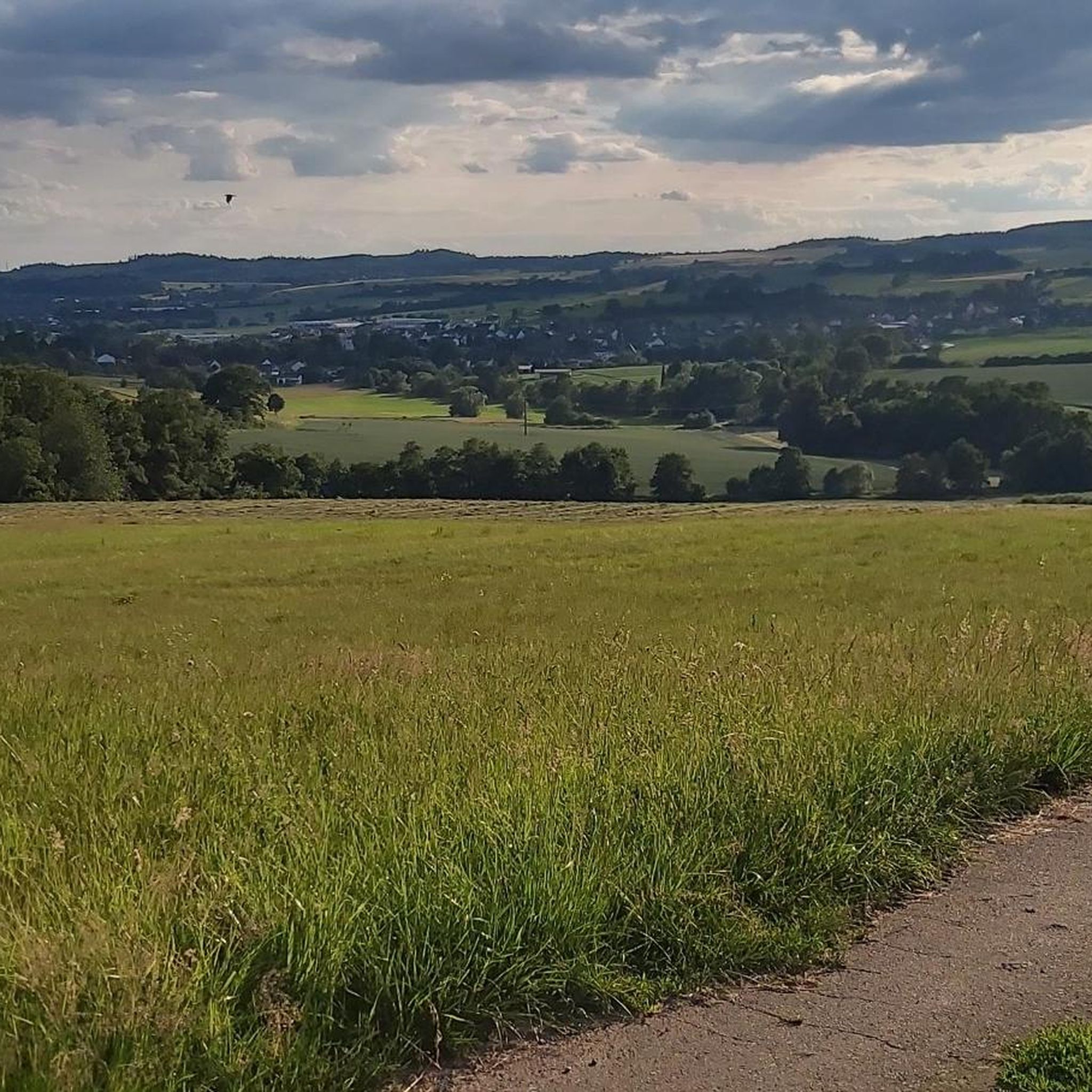
Gravel biking around Kefenrod offers a diverse landscape characterized by rolling hills, forested sections, and open agricultural areas. The region features historical elements like the Roman Limes, alongside natural attractions such as the Kinzig Reservoir. Gravel trails in Kefenrod often follow former railway lines or forest paths, providing varied surfaces for riders. The terrain includes both gentle gradients suitable for casual rides and more challenging climbs for advanced gravel routes.
Best gravel bike trails around Kefenrod
- The most popular gravel…
Last updated: May 22, 2026
7
riders
25.0km
01:34
320m
320m
Moderate gravel ride. Good fitness required. Mostly paved surfaces. Suitable for all skill levels.
5.0
(1)
10
riders
Moderate gravel ride. Good fitness required. Mostly paved surfaces. Suitable for all skill levels.

Sign up for free
5.0
(3)
8
riders
61.4km
03:22
630m
630m
Hard gravel ride. Very good fitness required. Mostly paved surfaces. Suitable for all skill levels.
4.5
(2)
10
riders
47.8km
02:53
720m
720m
Hard gravel ride. Very good fitness required. You may need to push your bike for some segments of this route.
4.0
(1)
7
riders
44.7km
02:36
510m
510m
Hard gravel ride. Very good fitness required. Mostly paved surfaces. Suitable for all skill levels.
Get access to more routes and recommendations from other explorers.
Sign up for free
Already have an account?
Our route recommendations are based on thousands of hikes, rides, and runs completed by other people on komoot.
Start today with a free account
Your next adventure awaits.
Login or Signup
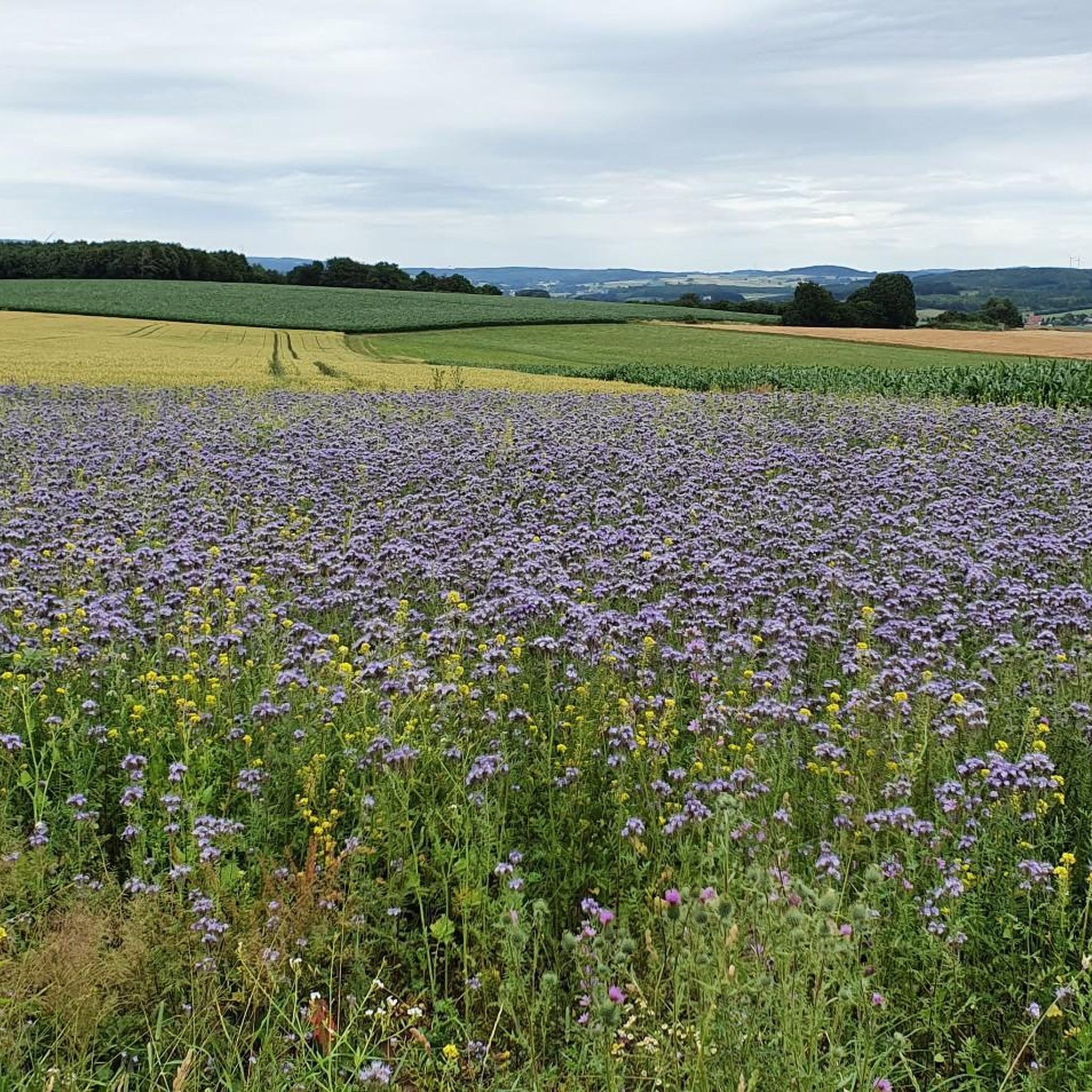
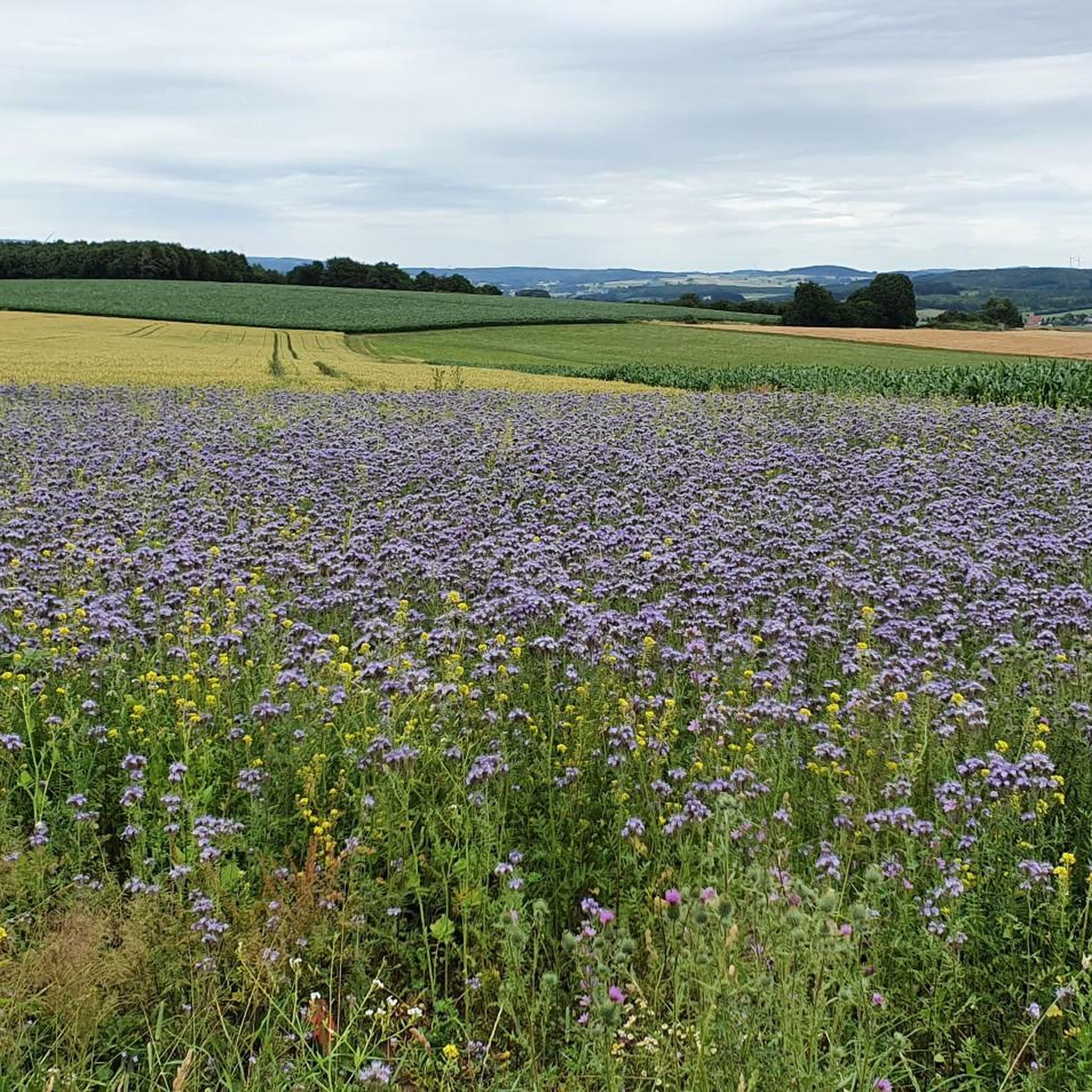
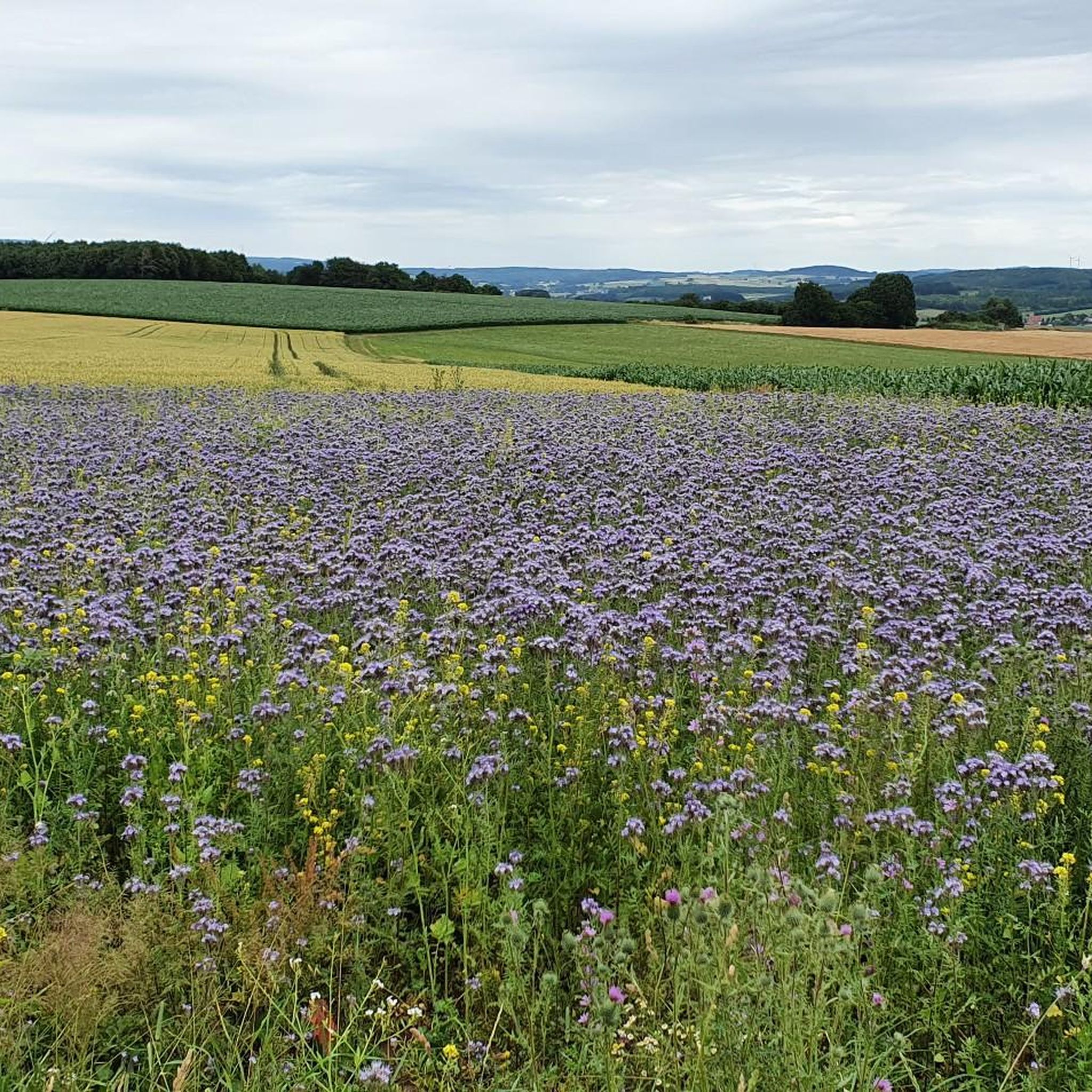
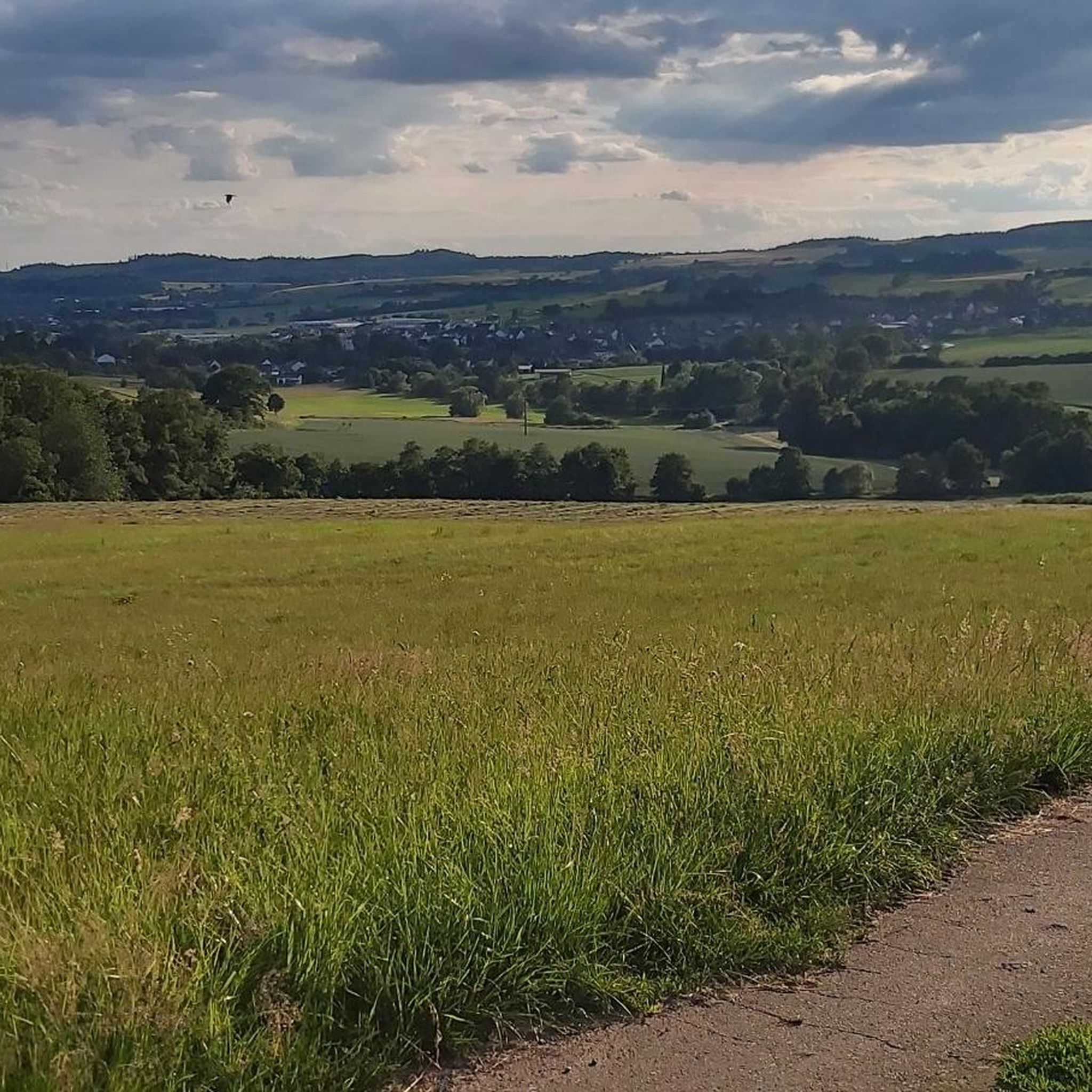
Tips from the Community

Even invites you to swim on hot days ;)
0
0

Storks can often be observed!
0
0

Great view of the Ronneburg from here.
0
0

Be careful, the path up to the castle is longer than you think.
0
0

Has something the tower, climbing park as well as a kiosk with a large beer garden is on site
6
0

The Kinzig is a river approximately 86 kilometers long. It rises in Sterbfritz, flows southwest through the Main-Kinzig district of Hesse, and flows into the Main from the right in Hanau. The Kinzig is a second-order river in low mountain ranges. It overcomes an elevation of 301 meters and has a bed gradient of 3.5 per thousand. The Kinzig's catchment area covers 1,058 square kilometers, and the calculated mean discharge (MQ) at the mouth of the Kinzig is 10.97 cubic meters per second. The Kinzig was first documented in 796 as "iuxta fluvium Kincihen." In 815, the name was written as "Chinzicha," around 900 as "Kincicha"/"Kinzicham," in 1364 as "Kinzige," in 1584 as "Kintzig," in 1607 as "Bintz," in 1681 as "Kintz," in 1716 as "Kins," in 1769 as "Kinzing," and in 1802 as "Kinzig." In the river's headwaters, there was the now-defunct village of Kinzig, mentioned in 815 as "Chirizichheimero." The village and river were often confused by monastery scribes at that time with "Chizzicha" (now Bad Kissingen), both of which were described as being located in the Saalegau. The name presumably derives from the ancient Celtic *ku̯anti̯o- meaning "flat hill, valley." The name was therefore derived from the mountainous region from which the Kinzig flows. Source: Wikipedia
1
0
The Kinzig is a river approximately 86 kilometers long. It rises in Sterbfritz, flows southwest through the Main-Kinzig district of Hesse, and flows into the Main from the right in Hanau. The Kinzig is a second-order river in low mountain ranges. It overcomes an elevation of 301 meters and has a bed gradient of 3.5 per thousand. The Kinzig's catchment area covers 1,058 square kilometers, and the calculated mean discharge (MQ) at the mouth of the Kinzig is 10.97 cubic meters per second. The Kinzig was first documented in 796 as "iuxta fluvium Kincihen." In 815, the name was written as "Chinzicha," around 900 as "Kincicha"/"Kinzicham," in 1364 as "Kinzige," in 1584 as "Kintzig," in 1607 as "Bintz," in 1681 as "Kintz," in 1716 as "Kins," in 1769 as "Kinzing," and in 1802 as "Kinzig." In the river's headwaters, there was the now-defunct village of Kinzig, mentioned in 815 as "Chirizichheimero." The village and river were often confused by monastery scribes at that time with "Chizzicha" (now Bad Kissingen), both of which were described as being located in the Saalegau. The name presumably derives from the ancient Celtic *ku̯anti̯o- meaning "flat hill, valley." The name was therefore derived from the mountainous region from which the Kinzig flows. Source: Wikipedia
1
0
The Kinzig is a river approximately 86 kilometers long. It rises in Sterbfritz, flows southwest through the Main-Kinzig district of Hesse, and flows into the Main from the right in Hanau. The Kinzig is a second-order river in low mountain ranges. It overcomes an elevation of 301 meters and has a bed gradient of 3.5 per thousand. The Kinzig's catchment area covers 1,058 square kilometers, and the calculated mean discharge (MQ) at the mouth of the Kinzig is 10.97 cubic meters per second. The Kinzig was first documented in 796 as "iuxta fluvium Kincihen." In 815, the name was written as "Chinzicha," around 900 as "Kincicha"/"Kinzicham," in 1364 as "Kinzige," in 1584 as "Kintzig," in 1607 as "Bintz," in 1681 as "Kintz," in 1716 as "Kins," in 1769 as "Kinzing," and in 1802 as "Kinzig." In the river's headwaters, there was the now-defunct village of Kinzig, mentioned in 815 as "Chirizichheimero." The village and river were often confused by monastery scribes at that time with "Chizzicha" (now Bad Kissingen), both of which were described as being located in the Saalegau. The name presumably derives from the ancient Celtic *ku̯anti̯o- meaning "flat hill, valley." The name was therefore derived from the mountainous region from which the Kinzig flows. Source: Wikipedia
2
0
Frequently Asked Questions
What kind of terrain can I expect on gravel bike trails around Kefenrod?
The gravel bike trails around Kefenrod offer a diverse landscape. You'll encounter rolling hills, dense forested sections, and open agricultural areas. Many routes follow former railway lines or forest paths, providing varied surfaces. The terrain ranges from gentle gradients suitable for casual rides to more challenging climbs.
Are there gravel bike trails suitable for beginners in Kefenrod?
Yes, Kefenrod offers options for various skill levels, including trails suitable for beginners. While the guide highlights more challenging routes, there are 2 easy tours among the 48 available, and many moderate trails can be enjoyed by those new to gravel biking. These often feature gentler gradients and well-maintained paths.
Are there any family-friendly gravel bike trails in Kefenrod?
Kefenrod has gravel biking options that are suitable for families. Look for routes described as having gentle gradients or those that follow former railway lines, as these often provide smoother, less technical surfaces. While specific family-friendly routes aren't detailed here, the region's diverse network includes easier paths perfect for a family outing.
What is the typical distance and duration for gravel bike routes in Kefenrod?
Gravel bike routes in Kefenrod vary in distance and duration. For example, the Kinzig Reservoir at Ahl – Kinzig Reservoir loop from Brachttal is about 36.3 km (22.6 miles) and takes around 2 hours 23 minutes. More challenging routes like the View of Lißberg Castle – Vulkan Spring Kneipp Pool loop from Hirzenhain cover 43.4 km (26.9 miles) and can take closer to 3 hours.
Are there any circular gravel bike routes in Kefenrod?
Yes, many of the gravel bike routes in Kefenrod are designed as loops, allowing you to start and end at the same point. Examples include the popular Kinzig Reservoir at Ahl – Kinzig Reservoir loop from Brachttal and the historical Limes Road Marking – Roman Sword and Shield Art Installation loop from Büdingen (Oberhess).
What historical or natural attractions can I see along the gravel bike trails?
Kefenrod's gravel trails often pass by interesting historical and natural sites. You can explore areas connected to the Roman Limes, such as those on the Limes Road Marking – Roman Sword and Shield Art Installation loop from Büdingen (Oberhess). Natural highlights include the scenic Kinzig Reservoir and volcanic spring areas. You might also encounter highlights like the Moss-Covered Boulder Field in Naturpark Hessischer Spessart or the At the Zechenhaus.
What do other gravel bikers say about the trails in Kefenrod?
The gravel bike trails in Kefenrod are highly regarded by the komoot community, holding an average rating of 4.6 stars from over 30 reviews. Riders often praise the varied terrain, the mix of forested and open landscapes, and the well-maintained paths that make for an enjoyable experience.
Are there any challenging gravel routes for advanced riders?
Absolutely. Kefenrod offers 25 difficult routes for advanced gravel bikers. Trails like the View of Lißberg Castle – Vulkan Spring Kneipp Pool loop from Hirzenhain, with its significant elevation gain, and The bridge in the forest – Vulkanradweg Stone Bridge loop from Hirzenhain, provide demanding climbs and descents through varied terrain.
Can I find cafes or places to rest near the gravel bike trails?
While specific cafes aren't listed in the route details, the region of Kefenrod and its surrounding towns offer amenities. Many routes pass through or near villages where you can typically find places to refuel or rest. It's always a good idea to check a map for services along your chosen route before heading out.
What is the best time of year for gravel biking in Kefenrod?
The best time for gravel biking in Kefenrod is generally from spring through autumn. During these seasons, the weather is typically mild, and the trails are in good condition. Spring brings blooming landscapes, while autumn offers beautiful foliage. Summer is also great, but be prepared for warmer temperatures.
Are there any viewpoints or scenic spots along the gravel routes?
Yes, many routes in Kefenrod offer scenic viewpoints. For instance, the View of Lißberg Castle – Vulkan Spring Kneipp Pool loop from Hirzenhain specifically highlights a view of Lißberg Castle. The rolling hills and forested areas naturally provide numerous opportunities for picturesque vistas across the landscape.
How many gravel bike trails are available in the Kefenrod area?
There are 48 gravel bike tours available around Kefenrod. This includes a mix of 2 easy, 21 moderate, and 25 difficult routes, ensuring options for all skill levels.
Most popular attractions around Kefenrod

Get inspired with the komoot mobile app


Explore more
Browse the best Gravel rides in other regions.
