The 10 Most Amazing Peaks in Zwettl
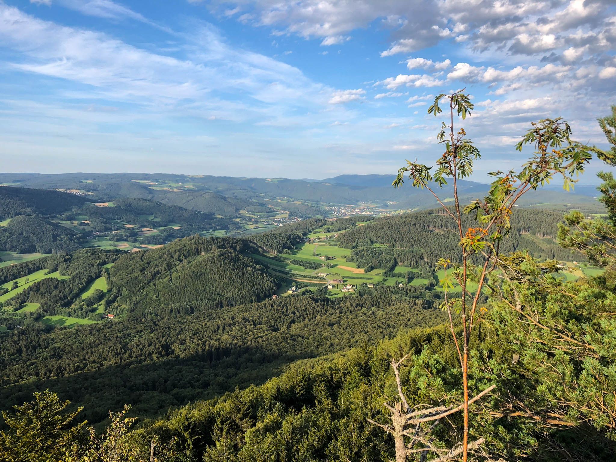
Best mountain peaks in Zwettl are found in the Waldviertel region of Lower Austria, characterized by its granite formations, dense forests, and river valleys. This area provides numerous opportunities for hiking and exploration, with summits offering panoramic views and historical significance. The diverse terrain and natural beauty make Zwettl a notable destination for outdoor enthusiasts seeking varied hiking trails.
Best mountain peaks in Zwettl
- The most popular mountain peaks is Hoher Stein Summit, a summit that features an iron-anchored…
Last updated: June 24, 2026
Hoher Stein Summit
Highlight • Summit
Translated by Google •
Tip by

Jahrtausendlebensturm Observation Tower
Highlight • Viewpoint
Translated by Google •
Tip by

Sign up now to discover places like this
Get recommendations on the best single tracks, peaks, & plenty of other exciting outdoor places.
Sign up for free
Stierberg Power Place
Highlight • Natural Monument
Translated by Google •
Tip by

Burgleiten Viewpoint
Highlight • Viewpoint
Translated by Google •
Tip by

Weinsberg Summit and Castle Ruins
Highlight • Summit
Translated by Google •
Tip by

Opferstein and Kamelstein
Highlight • Natural Monument
Translated by Google •
Tip by
Hirschenstein Summit Cross and View of Yspertal
Highlight • Summit
Translated by Google •
Tip by

Zollberg
Highlight • Summit
Translated by Google •
Tip by

Höhlwenze Summit and Wooden Cross
Highlight • Summit
Translated by Google •
Tip by
Great Höllberg
Highlight • Viewpoint
Translated by Google •
Tip by

Start today with a free account
Your next adventure awaits.
Login or Signup
Popular around Zwettl
Ysper-Weitental circular hiking trail – Unwind in Austria

North-South Trail through Austria – Small country, big paths!
The Path of Life — A (spiritual) hike through northeastern Austria

Eisenwurzen Trail – Hiking through Austria from north to south
Kremstal Trail — Hiking along rivers through Lower Austria
Hiking with a view – certified hiking villages in Lower Austria
Cliffs, a gorge and vineyards – day hikes in the Waldviertel
Long and short cycling Tours in the Waldviertel
An MTB adventure in Austria's loneliest region – Granite Trail
Discover Austria’s most beautiful family cycle paths with woom
Other adventures in Zwettl


Tips from the Community

Mountain with a hunter's seat – the climb is not without danger, as the ladder is already badly damaged. There are no signs. But the view of the beautiful landscape is worthwhile.
0
0

Inquire about opening hours in advance
0
0

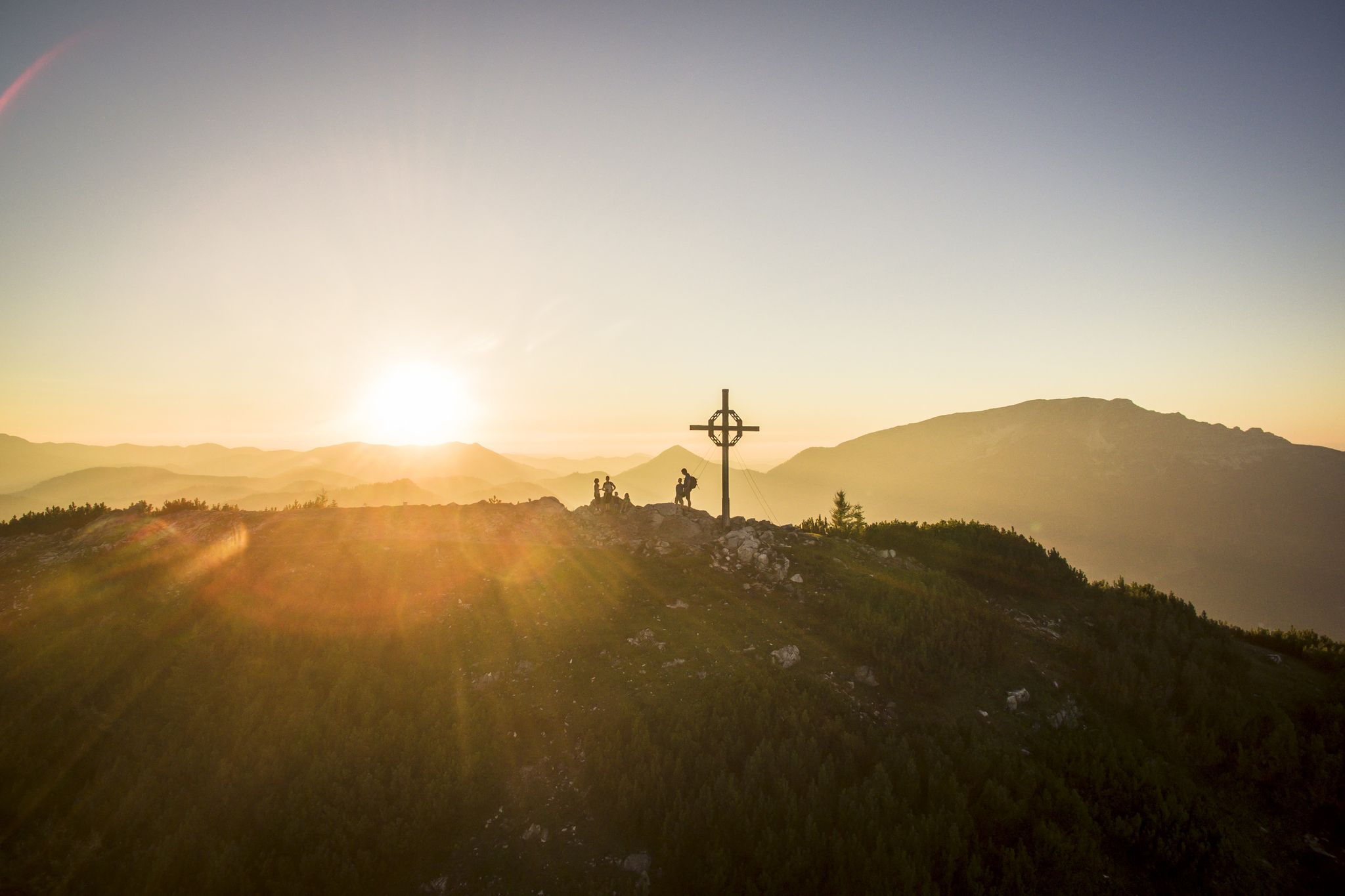
To the west of Langschlag lies the village of Mitterschlag and then the Frauenwieserteich. To the south of it rises the wooded Schwarzenberg (947 m) with a rock formation in front of it, the Dorfmüllerberg (920 m), which is also called “Höhlwenze” by the locals. On these remains stands a large wooden cross with a summit book.
0
0

Various signposts show us the way up through the forest to the Holmberg (738 m), on whose highest point stands the Millennium Life Tower. Mighty and imposing, a small technical marvel, free-standing without tension cables, it stands in the forest and towers above the trees. The viewing platform, which is 30 m higher, offers a panorama with a view for many kilometers in all directions. Of course, the view is clear of the Guttenberg near Grafenschlag, the town of Gmünd and far into our neighboring country, the Czech Republic. Open: May to October, Saturdays, Sundays and public holidays from 1 p.m.
0
0

A great view
0
0

The best way to see the camel is on the screen of your mobile phone.
0
0
Many beautiful rock formations on the Stierberg invite you to wander around and take a rest.
0
0

Neither the name nor any documentary evidence has survived of this castle complex, located on the so-called “Burgleiten”. It was probably built towards the end of the 12th century. The desert name "Siebenberg" and abandoned fields in the area indicate that there was a center (dominion) of a clearing area here. In a document from 1389 a "vest ze Chirichpach, located near Zwetl" is mentioned. However, the end of the castle is uncertain. It was either abandoned in the 13th or 14th century or it is assumed that this complex was inhabited until the Thirty Years' War and was razed to the ground by the Swedes. Next to the small cistern there is an inscription in the rock with the year 1684. However, it has not yet been satisfactorily interpreted.
0
0
Frequently Asked Questions
Which mountain peaks in Zwettl offer the best panoramic views?
For expansive views, Weinsberg, the highest peak in the district, provides a panorama of Austria's largest contiguous forest area, and on clear days, even the high mountains of Styria. The Jahrtausendlebensturm Observation Tower on Holmberg also offers a multi-kilometer panorama, including views into the Czech Republic. Additionally, the Hoher Stein Summit features a summit cross with broad sky views after a bit of a climb.
Are there any mountain peaks in Zwettl with historical significance?
Yes, several peaks in Zwettl have historical ties. Weinsberg hosts the ruins of a 13th-century castle on its summit. The Burgleiten Viewpoint is believed to have been a castle complex from the 12th century. Furthermore, Stierberg is recognized as a powerful 'place of strength' with historical links to the Celtic Boier tribe and served as a refuge and signal point.
What are some unique natural features to explore on Zwettl's mountain peaks?
The Zollberg is notable for its massive granite blocks and small caves formed between them, offering an interesting natural landscape. Schwarzenberg features a prominent rock formation known as 'Höhlwenze' or Dorfmüllerberg, marked by a large wooden cross. The Zwettltal, a Natura 2000 protected area, also offers idyllic paths through granite gorges and rock groups.
Which mountain peaks are considered the highest in the Zwettl district?
The highest and most prominent mountain in the Zwettl district is Weinsberg, standing at 1,041 meters (3,415 ft). Other significant peaks include Schwarzenberg at 947 meters and Zollberg at 879 meters.
Are there family-friendly hiking options among Zwettl's mountain peaks?
While specific 'family-friendly' categories aren't always explicitly listed for individual peaks, many trails in the Zwettl region are suitable for families. The area is a 'certified hiking village' with trails along the Kamp and Zwettl rivers. For a unique experience, the Jahrtausendlebensturm Observation Tower on Holmberg offers an accessible viewing platform after a moderate hike, which can be enjoyable for families.
What kind of hiking trails can I expect around Zwettl's mountain peaks?
You can expect a variety of hiking trails, from moderate paths through forests and meadows to more challenging routes. Some peaks, like Hoher Stein Summit, involve a bit of climbing with iron-anchored routes. The long-distance hiking trail 'Eisenwurzenweg' passes through Zollberg, indicating well-established routes. The region's status as a 'certified hiking village' ensures a good network of trails.
Can I find observation towers on any of Zwettl's mountain peaks?
Yes, the Jahrtausendlebensturm Observation Tower is located on the 738-meter Holmberg. This striking, free-standing tower rises 30 meters above the treetops, offering extensive panoramic views from its viewing platform. It is typically open from May to October on weekends and public holidays.
What other outdoor activities can I do near the mountain peaks in Zwettl?
Beyond hiking the peaks, Zwettl offers diverse outdoor activities. You can explore various hiking trails, including those along the Kamp and Zwettl rivers. There are also opportunities for gravel biking and discovering waterfall hikes in the region.
What is the best time of year to visit Zwettl for mountain hiking?
The period from May to October is generally ideal for visiting Zwettl for mountain hiking. During these months, the weather is typically pleasant, and attractions like the Jahrtausendlebensturm Observation Tower are open. The region's forests and meadows are vibrant, offering beautiful scenery for exploration.
Are there any challenging climbs or unique hiking experiences on Zwettl's peaks?
For those seeking a more adventurous experience, the Hoher Stein Summit offers a climbable iron-anchored route to reach its summit cross. This provides a unique and slightly challenging ascent to a scenic viewpoint. The distinctive granite formations and small caves on Zollberg also offer an interesting natural exploration.
Where can I experience a 'place of strength' or ancient heritage on a Zwettl mountain?
Stierberg is renowned as a powerful 'place of strength' and is historically linked to the Celtic Boier tribe. Visiting this peak allows you to connect with ancient heritage and enjoy early views towards the Arbesbach ruins, making it a culturally significant hiking destination.
What do visitors enjoy most about Zwettl's mountain peaks?
Visitors particularly enjoy the diverse experiences offered by Zwettl's peaks. Highlights include the panoramic views from places like Weinsberg and the Jahrtausendlebensturm Observation Tower, the historical insights from castle ruins on Weinsberg and the ancient significance of Stierberg, and the unique natural formations such as the granite blocks on Zollberg. The sense of adventure on climbs like Hoher Stein Summit is also highly appreciated.
Most popular routes in Zwettl
Most popular attractions in Zwettl

Get inspired with the komoot mobile app


Didn’t find what you were looking for?
Discover Zwettl’s best peaks and summits by region:
Explore more
See even more amazing summits in Zwettl with these guides:
