The best mountain hikes in Zwettl
5.0
(1)
59
hikers
14
hikes
Mountaineering in Zwettl, located in the Waldviertel region of Lower Austria, is characterized by its diverse natural landscapes. The area features tranquil river valleys, dense forests, and rolling hills, providing varied terrain for exploration. Notable geological features include granite formations, particularly around the Ottenstein Reservoir and Blockheide Nature Park. While not high-alpine, the region offers strenuous hikes and rock climbing opportunities.
Best mountaineering routes in Zwettl
- The most popular mountaineering route is Hirschwandsteig Rocky Outcrop – Fahnenwand loop from Rossatz-Arnsdorf…
Last updated: July 1, 2026
7
hikers
5.10km
02:42
510m
510m
Hard mountaineering route. Good fitness required. Sure-footedness, sturdy shoes and alpine experience required.
10
hikers
4.64km
02:04
440m
440m
Moderate mountaineering route. Good fitness required. Easily-accessible paths. Suitable for all skill levels.

Sign up for free
5.0
(1)
7
hikers
5.65km
01:45
140m
140m
Hard mountaineering route. Great for any fitness level. Sure-footedness, sturdy shoes and alpine experience required.
7
hikers
Hard mountaineering route. Very good fitness required. Mostly accessible paths. Sure-footedness required.
6
hikers
Moderate mountaineering route. Good fitness required. Easily-accessible paths. Suitable for all skill levels.
4
hikers
8.44km
03:10
480m
480m
Moderate mountaineering route. Good fitness required. Mostly accessible paths. Sure-footedness required.
4
hikers
Moderate mountaineering route. Good fitness required. Easily-accessible paths. Suitable for all skill levels.
3
hikers
Moderate mountaineering route. Good fitness required. Easily-accessible paths. Suitable for all skill levels.
3
hikers
Easy mountaineering route. Great for any fitness level. Easily-accessible paths. Suitable for all skill levels.
Get access to more routes and recommendations from other explorers.
Sign up for free
Already have an account?
Our route recommendations are based on thousands of hikes, rides, and runs completed by other people on komoot.
Start today with a free account
Your next adventure awaits.
Login or Signup
Popular around Zwettl
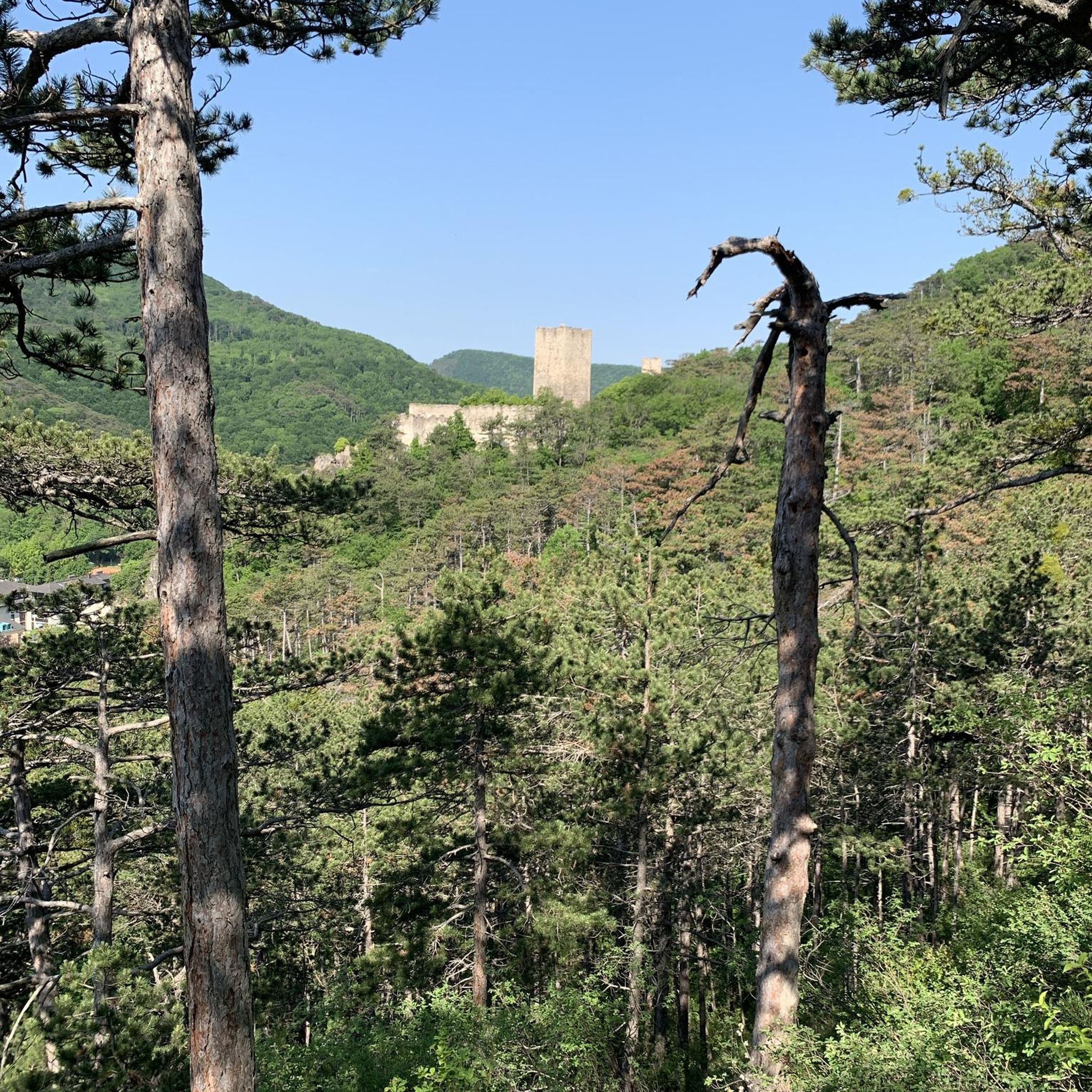
Mountain Hikes around Kottes-Purk
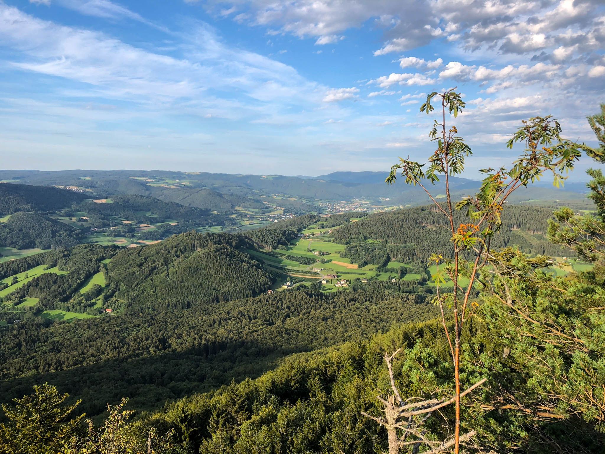
Ysper-Weitental circular hiking trail – Unwind in Austria

North-South Trail through Austria – Small country, big paths!
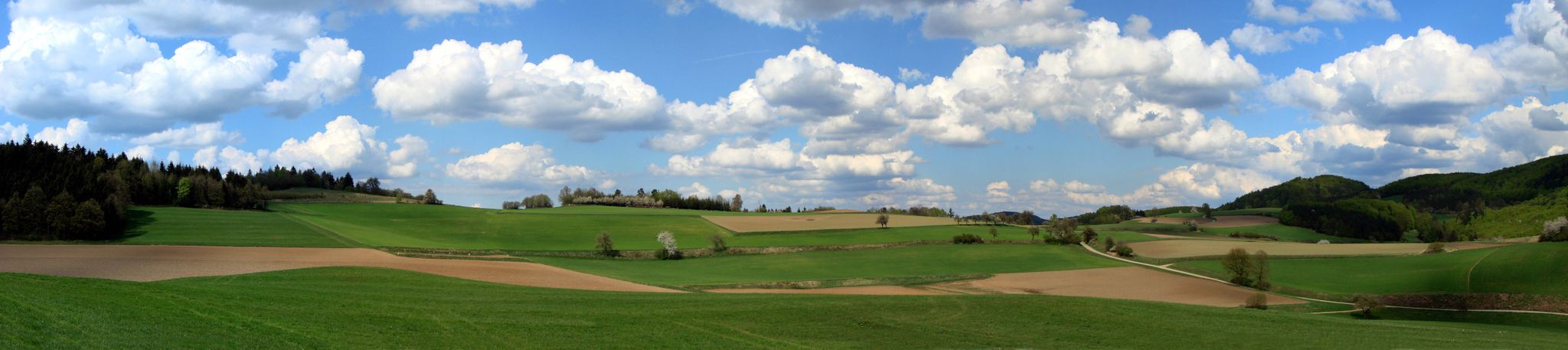
The Path of Life — A (spiritual) hike through northeastern Austria

Eisenwurzen Trail – Hiking through Austria from north to south
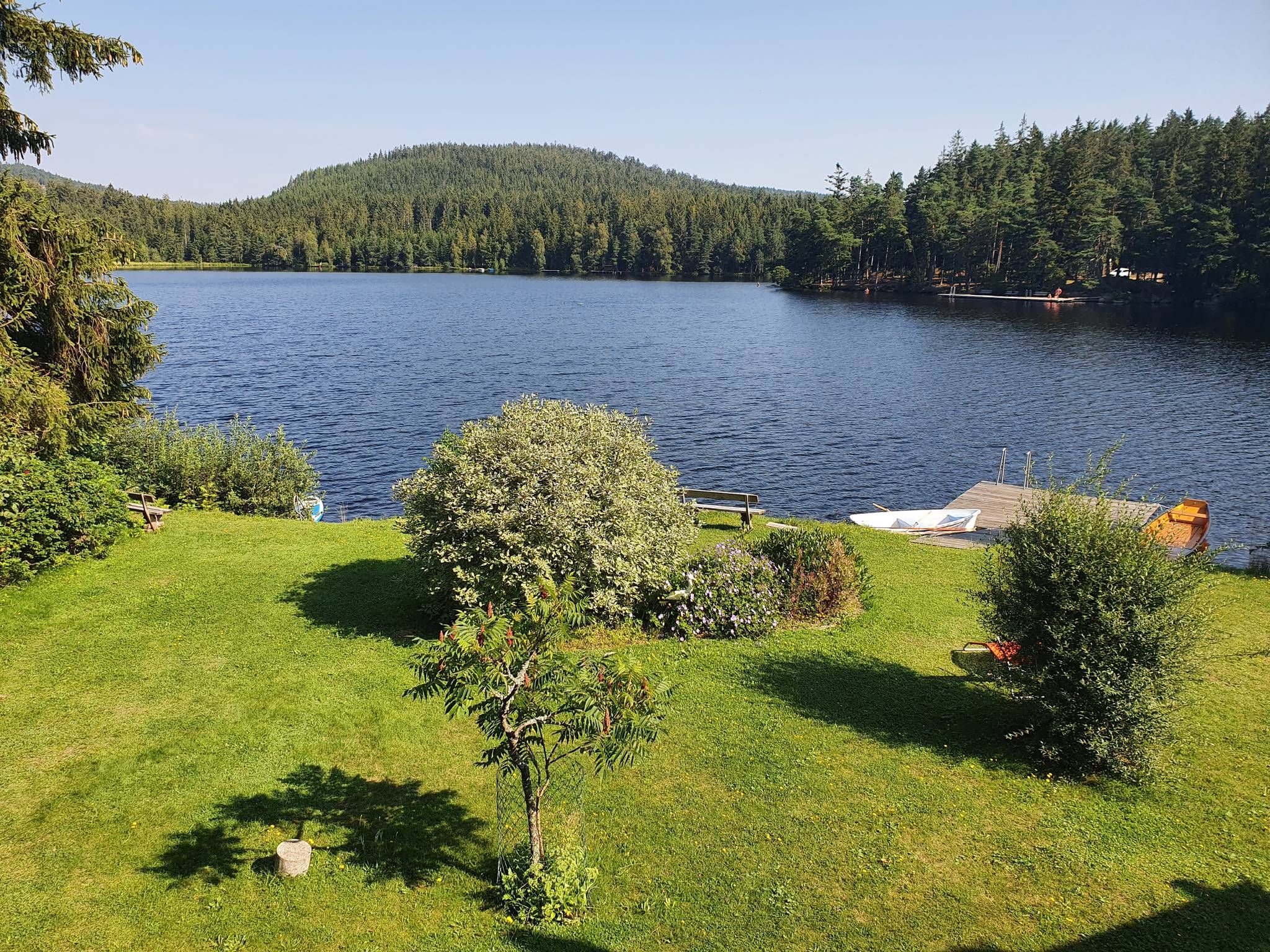
Kremstal Trail — Hiking along rivers through Lower Austria
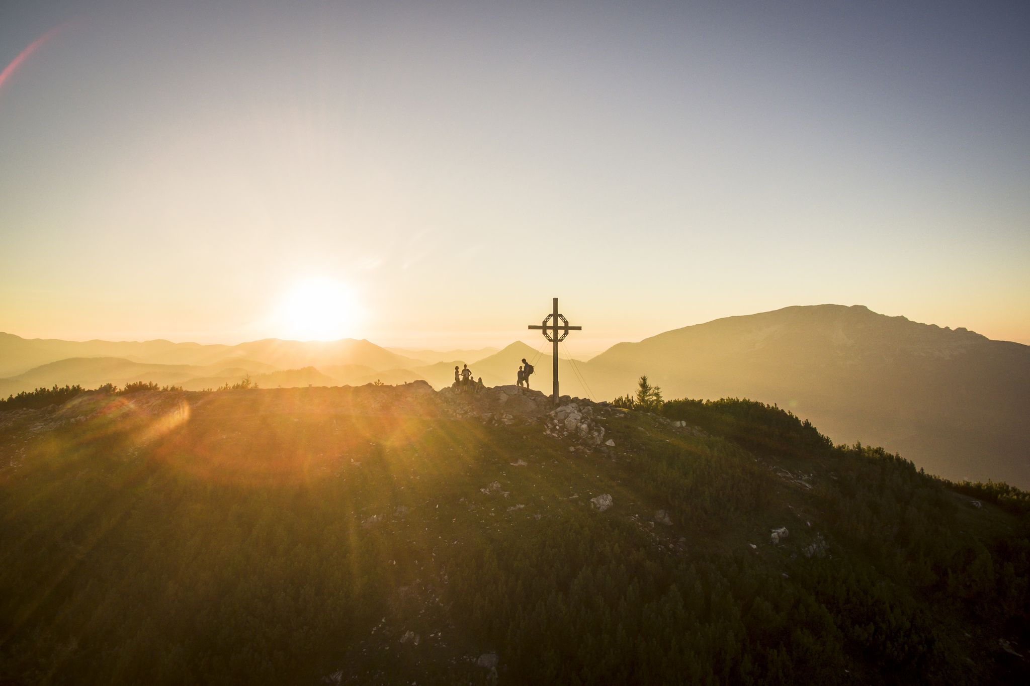
Hiking with a view – certified hiking villages in Lower Austria
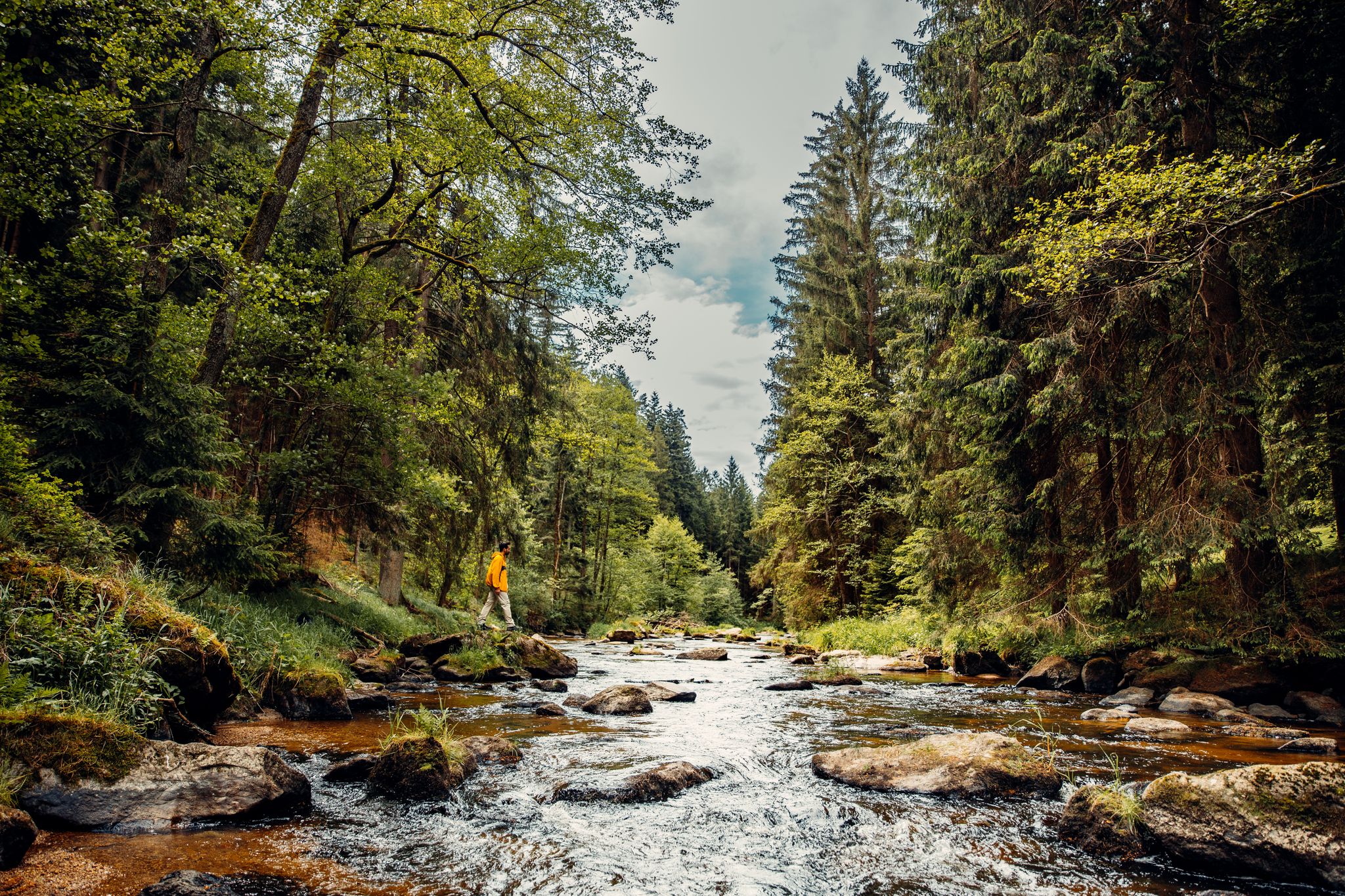
Cliffs, a gorge and vineyards – day hikes in the Waldviertel
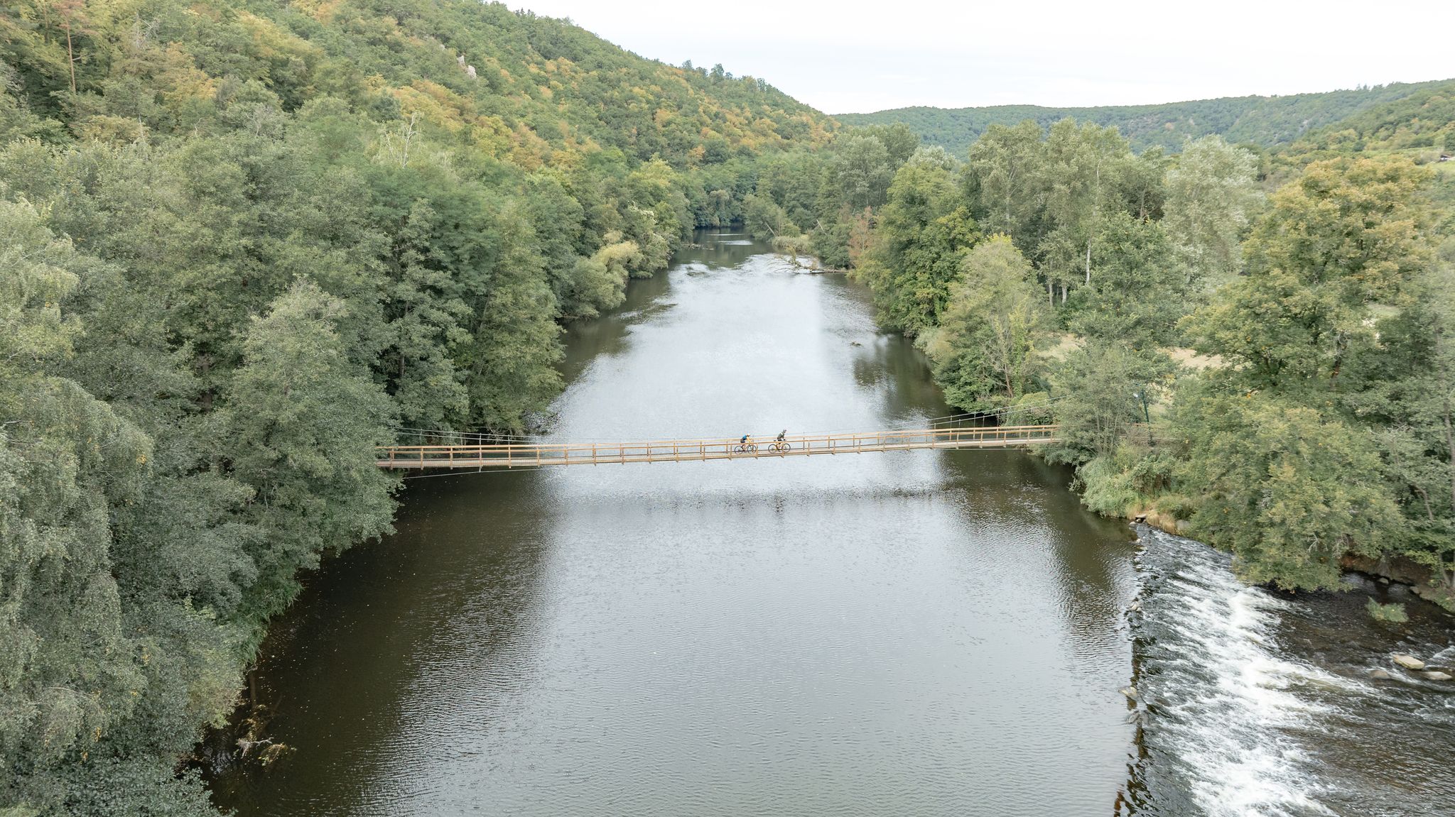
Long and short cycling Tours in the Waldviertel
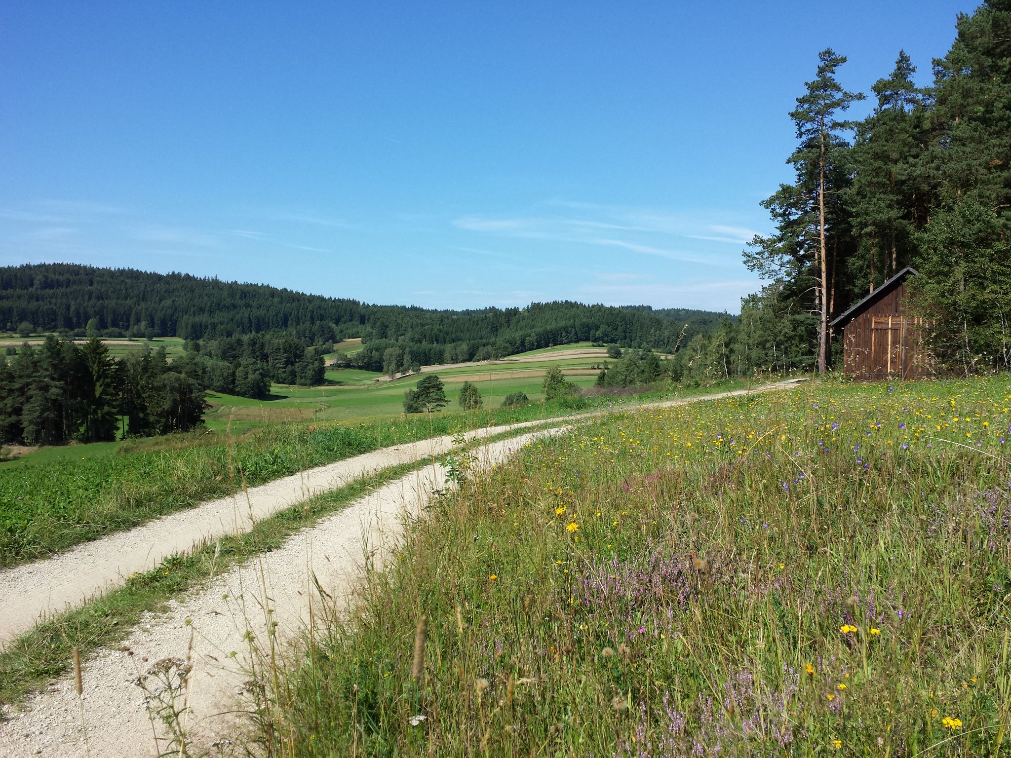
An MTB adventure in Austria's loneliest region – Granite Trail
Other adventures in Zwettl


Tips from the Community

Very interesting old church in Weißenkirchen in der Wachau
0
0

...and every now and then a rest area with a magnificent view.
0
0

The highest point of the Jauerling is in the middle of the forest; the summit cross is located at the edge of the forest and is a few minutes away from the highest point.
0
0

A beautiful town on the Danube in the Wachau region. A stopover is worthwhile. A very impressive and interesting church.
1
0
Access to the church and elementary school is not barrier-free.
0
0
Of course, the observation deck next to the transmitter is more interesting.
0
0
Very good food and a beautiful view of the Spitzergraben, Spitz and the Danube from the terrace.
0
0

Please do not deface it!!! Below Hartenstein Castle lies the Gudenus Cave, which was carved out of the riverbank and inhabited by Neanderthals during the Stone Age. Traces of settlement dating back almost 100,000 years were discovered there, including hand axes and other tools. Due to historical preservation, the bridge could no longer be rebuilt unless the cave was sealed.
0
0
Frequently Asked Questions
How many mountaineering routes are available in Zwettl?
Zwettl offers a selection of 18 mountaineering routes. These routes cater to various skill levels, with 10 moderate and 7 difficult trails, alongside 1 easy option, ensuring there's something for every mountaineer.
What kind of terrain can I expect on mountaineering routes in Zwettl?
Mountaineering in Zwettl is characterized by its diverse natural landscapes. You'll encounter tranquil river valleys, dense forests, and rolling hills. The region is also known for its unique granite formations, particularly around the Ottenstein Reservoir and Blockheide Nature Park, offering varied and engaging terrain.
Are there any family-friendly mountaineering routes in Zwettl?
While many routes in Zwettl are moderate to difficult, there is one easy mountaineering route available. For families looking for a less strenuous option, consider exploring the numerous hiking trails around the Ottenstein Reservoir or the Blockheide Nature Park, which offer easier walks amidst unique natural features.
Are there any circular mountaineering routes in Zwettl?
Yes, many of the mountaineering routes in Zwettl are circular, allowing you to start and end at the same point. For example, the Hirschwandsteig Rocky Outcrop – Fahnenwand loop from Rossatz-Arnsdorf is a popular moderate circular trail, and the Kaltenbergkreuz Viewpoint loop from Pisching also offers expansive views on a circular path.
What are some challenging mountaineering routes for experienced climbers?
For experienced mountaineers seeking a challenge, Zwettl offers several difficult routes. The Sonnstein loop from Rossatz-Arnsdorf is a demanding option, as is the Kienstockspitze 591 m loop from Rossatz-Arnsdorf. These routes require good fitness, sure-footedness, and sturdy shoes.
Can I find routes with scenic viewpoints in Zwettl?
Absolutely! Many routes in Zwettl offer stunning viewpoints. The Kaltenbergkreuz Viewpoint loop from Pisching is specifically known for its expansive vistas. Additionally, the Hirschwandsteig Rocky Outcrop – Fahnenwand loop from Rossatz-Arnsdorf provides excellent views from rocky outcrops.
Are there any waterfalls or significant natural landmarks along the routes?
Yes, the region boasts several natural highlights. The picturesque Lohnbach Waterfall, where the Lohnbach descends in several stages, is a notable attraction. The Ottenstein reservoir, with its fjord-like arms and wooded shores, is also a prominent natural landmark in the area.
What is the best time of year for mountaineering in Zwettl?
The Waldviertel region, where Zwettl is located, is generally pleasant for outdoor activities from spring through autumn. The dense forests and river landscapes offer beautiful scenery during these seasons. While specific winter mountaineering routes are not detailed, the area's character suggests that spring and fall provide ideal conditions with comfortable temperatures and vibrant natural colors.
What do other mountaineers enjoy most about the routes in Zwettl?
The mountaineering routes in Zwettl are highly rated by the komoot community, with an average score of 5.0 stars. Users often praise the varied terrain, from tranquil river valleys to dense forests and unique granite formations, which provide a diverse and engaging experience for exploration.
Are there any routes that pass by historical or cultural sites?
Yes, some routes offer glimpses of historical and cultural interest. For instance, the Gudenus Cave – View of Hartenstein Castle loop from Maigenmühle combines natural exploration with views of a historic castle. Additionally, the Klaus Chapel is a religious building nestled in the forest, accessible via some local paths.
Are there options for longer, multi-day mountaineering experiences?
While the listed mountaineering routes are typically day tours, Zwettl is part of a larger network of hiking trails in the Waldviertel. Longer routes like the "Ysper-Weitental circular hiking trail," "North-South Trail through Austria," and "The Path of Life" pass through or near the area, offering opportunities for extended exploration if you combine sections.
Is public transport available to reach the starting points of mountaineering routes?
Information on specific public transport connections to every trailhead is not detailed. However, Zwettl itself is a regional hub. For routes further afield, it's advisable to check local bus schedules or consider driving, as many routes might be more easily accessible by car. Parking information is often available on individual route pages.
Can I find cafes or restaurants near the mountaineering routes in Zwettl?
Zwettl and its surrounding villages offer various options for refreshments. While specific cafes directly on every route are not guaranteed, you'll find places to eat and drink in the towns and larger villages near the trailheads. It's always a good idea to check local listings or plan your route to pass through a village with amenities.
Most popular routes in Zwettl
Most popular attractions in Zwettl

Get inspired with the komoot mobile app


Didn’t find what you were looking for?
Check out more Mountain Hikes & Routes throughout Zwettl below and find the perfect route in your destination.
Explore more
Browse the best Mountain Hikes & Routes in other regions.
