The best running trails around Clatteringshaws Loch
1.5
(2)
22
runners
4
runs
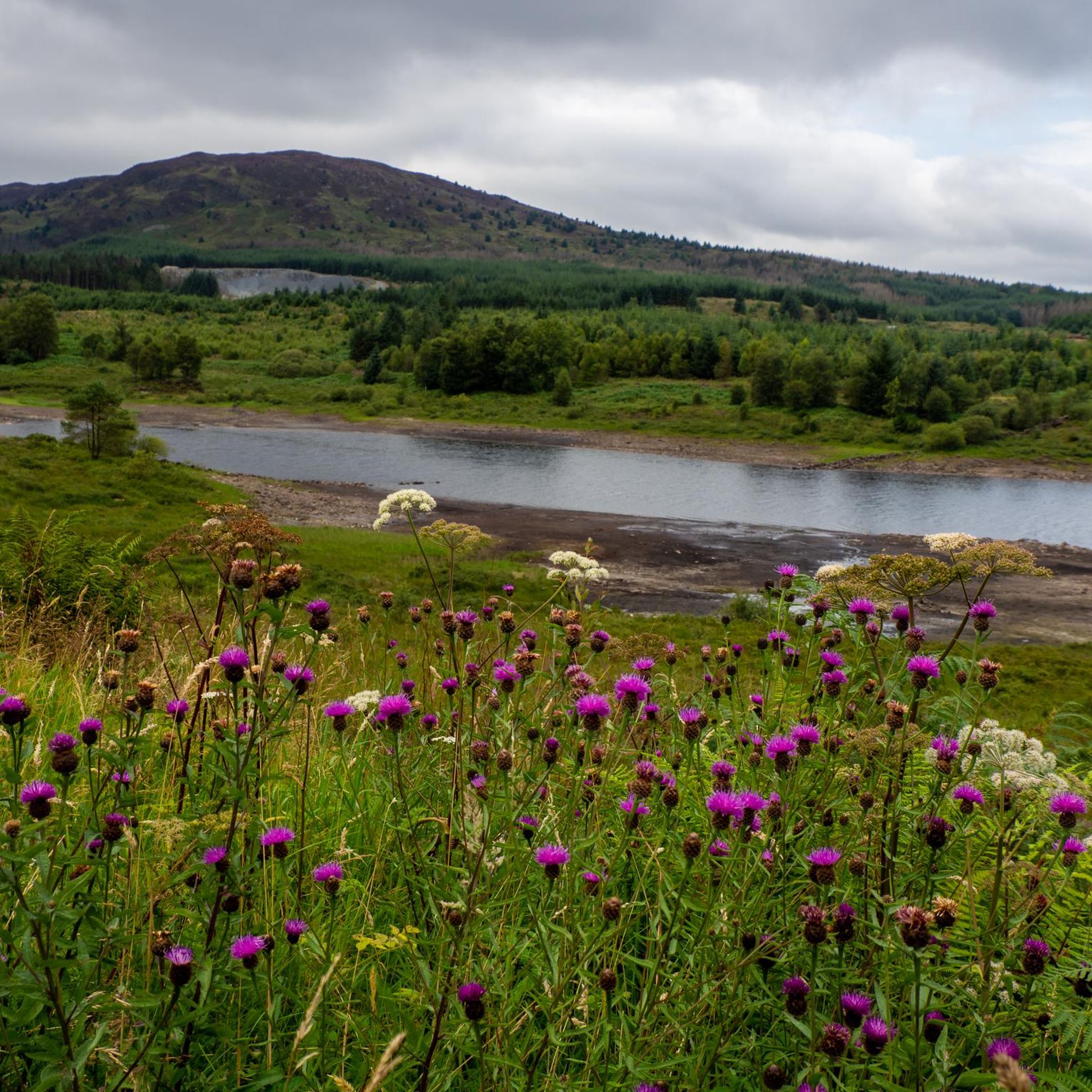
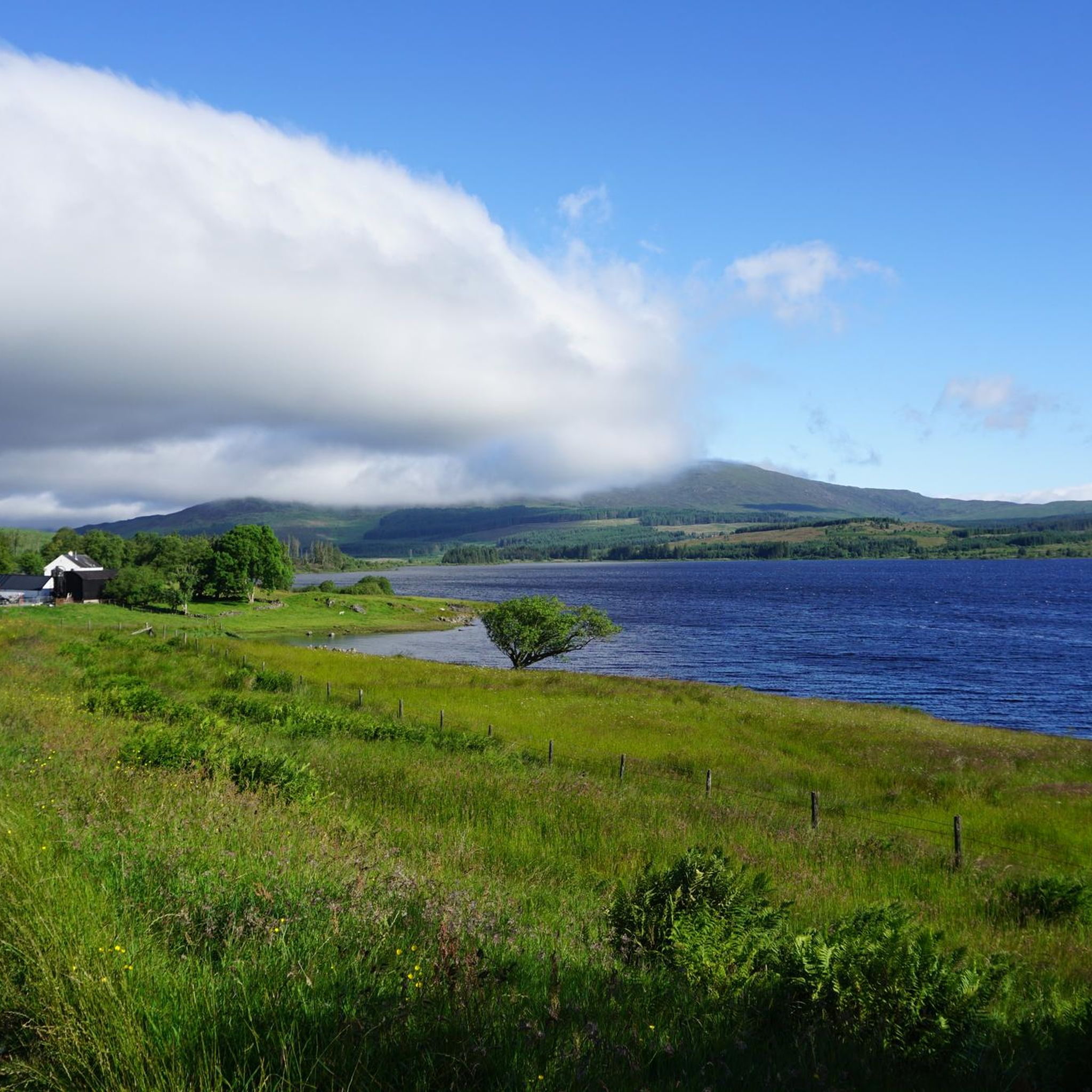
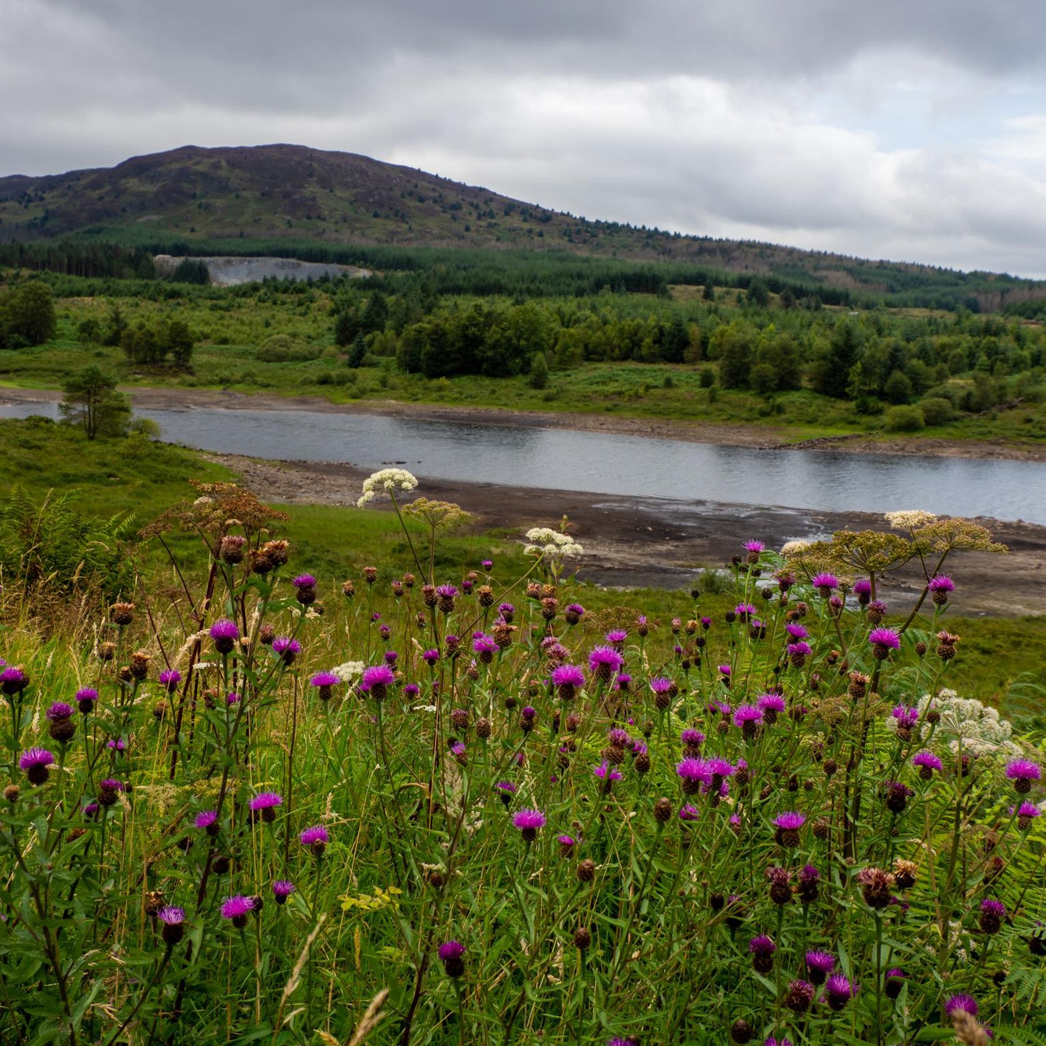
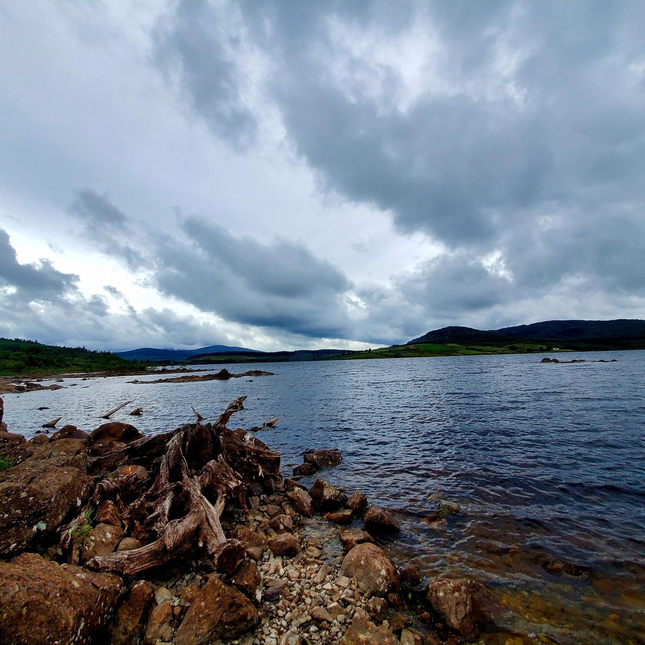
Jogging around Clatteringshaws Loch offers a diverse experience within the Galloway Forest Park. The region features a freshwater loch surrounded by rolling hills, dense forests, and expansive moorland, providing varied terrain for runners. Waterside paths along the River Dee, forest tracks, and hill paths, including ascents to viewpoints like Benniguinea, characterize the landscape. This natural setting is ideal for outdoor exercise, with clear waters reflecting the scenery and a tranquil environment for running.
Best jogging routes around Clatteringshaws Loch
- The…
Last updated: July 11, 2026
5
runners
12.8km
02:02
660m
660m
Hard run. Very good fitness required. Mostly accessible paths. Some sure footedness required.
2
runners
Moderate run. Good fitness required. Mostly paved surfaces. Suitable for all skill levels.

Sign up for free
1
runners
9.82km
01:13
200m
200m
Moderate run. Good fitness required. Mostly paved surfaces. Suitable for all skill levels.
4
runners
11.7km
01:17
80m
80m
Moderate run. Good fitness required. Mostly paved surfaces. Suitable for all skill levels.
8
runners
4.69km
00:33
10m
10m
Easy run. Great for any fitness level. Mostly paved surfaces. Suitable for all skill levels.
Our route recommendations are based on thousands of hikes, rides, and runs completed by other people on komoot.
Start today with a free account
Your next adventure awaits.
Login or Signup
Popular around Clatteringshaws Loch
Other adventures around Clatteringshaws Loch

Frequently Asked Questions
What kind of terrain can I expect on the running routes around Clatteringshaws Loch?
The running routes around Clatteringshaws Loch offer a diverse mix of terrain. You'll find waterside paths along the River Dee, established forest tracks, and more challenging hill paths, including ascents to viewpoints like Benniguinea. The trails are generally well-maintained, navigating through a combination of forest roads and defined hill paths, providing varied challenges for different running preferences.
Are there any easy or moderate running routes suitable for beginners or a quicker run?
Yes, while some routes feature significant elevation, there are also moderate options. For a gentler experience with less elevation, consider the Betty's Plantation – Dalry Motte loop from St John's Town of Dalry, which is 3.4 miles (5.5 km) long. Another moderate option is the Craiggubble Wood loop from St John's Town of Dalry, a 6.1 miles (9.8 km) trail through woodlands.
What natural features or points of interest can I see while jogging around Clatteringshaws Loch?
The area is rich in natural beauty. You'll enjoy serene lochside views, dense forests, and expansive moorland. Keep an eye out for diverse wildlife, including various bird species like ducks, swans, and occasional ospreys, as well as otters and red deer. Notable points of interest include Clatteringshaws Loch itself, and scenic viewpoints like the Red Deer Range Scenic Road. For a historical touch, you can also find Bruce's Stone nearby.
Where can I park when visiting Clatteringshaws Loch for a run?
The Clatteringshaws Visitor Centre, located at the northern end of the loch, serves as a convenient starting point for exploring the area and offers parking facilities. Many routes also start from nearby towns like St John's Town of Dalry, where parking options may be available.
Are there any challenging running routes for experienced runners?
Absolutely. For experienced runners seeking a challenge, the region offers routes with significant elevation gain. The Corserine – Meikle Millyea loop from Burnhead Burn is a 10.4 miles (16.8 km) trail featuring substantial hill terrain. Another demanding option is the Corserine loop from Burnhead Burn, which covers 12.8 km with considerable ascent.
What do other runners say about the running trails in Clatteringshaws Loch?
The running trails in Clatteringshaws Loch are highly regarded by the komoot community, with an average score of 1.5 stars from over 2 reviews. Runners often praise the serene lochside views, the variety of forest tracks, and the challenging hill paths that define the area's diverse running experience.
Can I bring my dog on the running trails around Clatteringshaws Loch?
Clatteringshaws Loch is part of the Galloway Forest Park, which is generally dog-friendly. However, it's always recommended to keep dogs under control, preferably on a leash, especially in areas with wildlife or livestock, to ensure the safety and enjoyment of all park users and to protect the natural environment.
Are there any circular running routes available?
Yes, many of the routes around Clatteringshaws Loch are designed as loops, offering circular running experiences. Examples include the Corserine – Meikle Millyea loop from Burnhead Burn, the Betty's Plantation – Dalry Motte loop from St John's Town of Dalry, and the Craiggubble Wood loop from St John's Town of Dalry.
What is the best time of year to go running in Clatteringshaws Loch?
Clatteringshaws Loch offers a beautiful setting for running year-round. Spring and autumn provide pleasant temperatures and stunning seasonal colours. Summer is ideal for longer days and warmer weather, while winter can offer a unique, tranquil experience, though some paths might be more challenging due to conditions. The area is also known as a Dark Sky Park, offering unique stargazing opportunities on clear nights, which could add a special element to early morning or evening runs.
How many running routes are available in the Clatteringshaws Loch area?
There are several dedicated running routes around Clatteringshaws Loch. This guide features 9 top running trails, offering a variety of distances and difficulties to suit different preferences.
Are there any running routes that offer views of other lakes or bodies of water besides Clatteringshaws Loch?
While Clatteringshaws Loch is the primary focus, the wider Galloway Forest Park area features other bodies of water. Some trails, like the Hydro Road Past Clatteringshaws Loch and Loch Dee, may offer glimpses or access to other lochs, providing varied waterside scenery during your run.
Is public transport available to reach the running trails around Clatteringshaws Loch?
While the Clatteringshaws Visitor Centre is a primary access point, some routes, such as those mentioned from St John's Town of Dalry, suggest that nearby villages may serve as starting points. It is advisable to check local bus schedules or regional transport options for connections to these villages, as direct public transport to the lochside trails might be limited.
Most popular routes around Clatteringshaws Loch
Most popular attractions around Clatteringshaws Loch

Get inspired with the komoot mobile app


Explore more
Browse the best Running Trails & Routes in other regions.
