The best walks and hikes around Clatteringshaws Loch
4.7
(95)
345
hikers
17
hikes
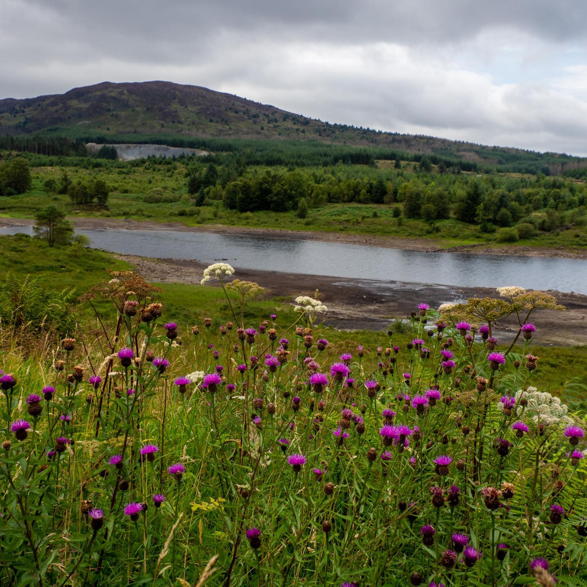
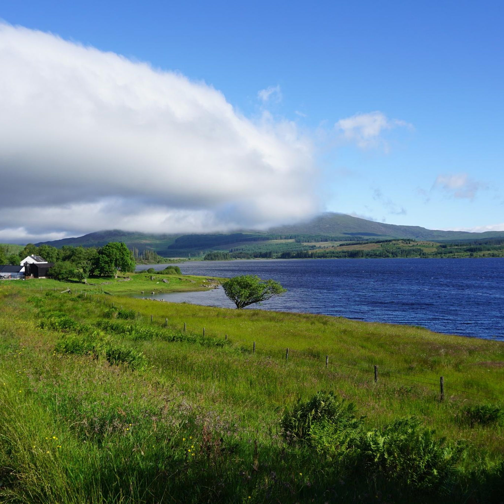
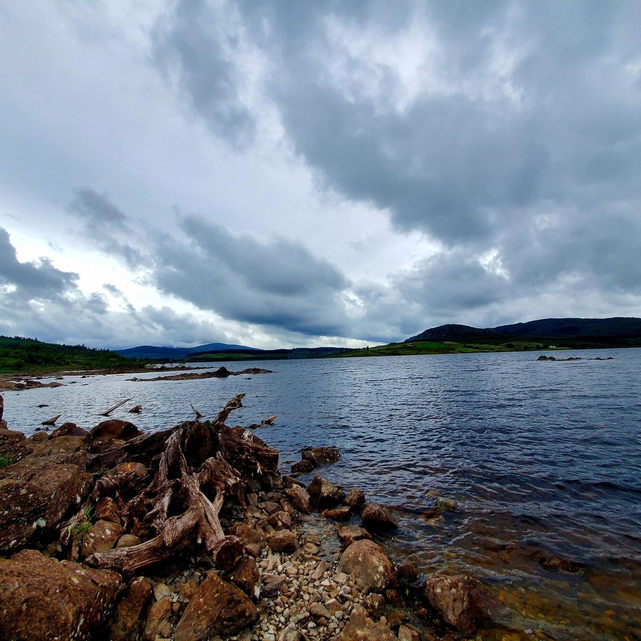
Hikes around Clatteringshaws Loch explore the landscape of a large freshwater reservoir located within Galloway Forest Park. The area is characterized by rolling hills, expansive forests, and waterside paths along the River Dee. The trails navigate through a mix of established forest roads and hill paths, with some routes ascending to viewpoints like Benniguinea.
Best hiking trails around Clatteringshaws Loch
- The most popular hiking route is the View of Clatteringshaws Loch – Benniguinea Summit loop from Carsphairn, a 4.0 mile (6.5 km) trail that takes about 1 hour 55 minutes to complete. This route features a climb to the summit of Benniguinea for views over the loch.
- Another top favourite among local hiking enthusiasts is the Otter Pool loop from Minnigaff, a moderate 7.1 mile (11.5 km) path. The trail follows forest tracks and passes by the Otter Pool, a notable feature on the River Dee.
- Local hiking enthusiasts also love the Bruce's Stone – View of Clatteringshaws Loch loop from Carsphairn, a 1.0 mile (1.7 km) trail leading through woodland, often completed in about 25 minutes.
- Hiking around Clatteringshaws Loch is defined by its reservoir shorelines, extensive forest park, and accessible hills. The network of Clatteringshaws Loch walking trails offers options for different ability levels, from short historical walks to more demanding hill ascents.
- The routes in Clatteringshaws Loch are highly rated by the komoot community with an average score of 4.7 stars from more than 60 reviews. More than 370 hikers have used komoot to explore Clatteringshaws Loch's varied terrain.
Last updated: July 9, 2026
4.8
(16)
86
hikers
Easy hike. Great for any fitness level. Easily-accessible paths. Suitable for all skill levels.
4.7
(7)
14
hikers
12.4km
03:21
160m
160m
Moderate hike. Good fitness required. Easily-accessible paths. Suitable for all skill levels.

Sign up for free
9
hikers
Easy hike. Great for any fitness level. Easily-accessible paths. Suitable for all skill levels.
5.0
(1)
4
hikers
Hard hike. Very good fitness required. Easily-accessible paths. Suitable for all skill levels.
4.7
(3)
10
hikers
Moderate hike. Good fitness required. Easily-accessible paths. Suitable for all skill levels.
Get access to more routes and recommendations from other explorers.
Sign up for free
Already have an account?
Our route recommendations are based on thousands of hikes, rides, and runs completed by other people on komoot.
Start today with a free account
Your next adventure awaits.
Login or Signup
Popular around Clatteringshaws Loch
Other adventures around Clatteringshaws Loch

Tips from the Community

There is a pathway as marked by Komoot. it is a bit overgrown and very wet in places, especially after rain
0
0


This is a useful car park at thecend of a 1km gravel track off the main A712. The car park gives access to the Black Loch and the hills around.
1
0
There is a good car park at Clatteringshaws by the Loch of the same name but sadly the Visitor Cenre and Toilets are now permanently closed. This is a good place to visit Bruce's Stone (One of many) and for walks up Benniguinea and Cairnsmore.
1
0
There is a good car park at Clatteringshaws by the Loch of the same name but sadly the Visitor Cenre and Toilets are now permanently closed. This is a good place to visit Bruce's Stone (One of many) and for walks up Benniguinea and Cairnsmore.
0
0
Benniguinea with it's radio mast can be seen from Clatteringshaws where there is good parking but no longer a Visitor Centre or toilets. Benniguinea (387m) is easily reached by forest tracks and a path and the summit is a great viewpoint for the area and the route ahead if you are planning to climb Cairnsmore. Benniguinea is 387m high and with a prominence of over 100m it is classified as a Hump.
2
0

There's a good track virtually all the way to the top of this hill where you can enjoy amazing views over the Galloway forest park
0
0

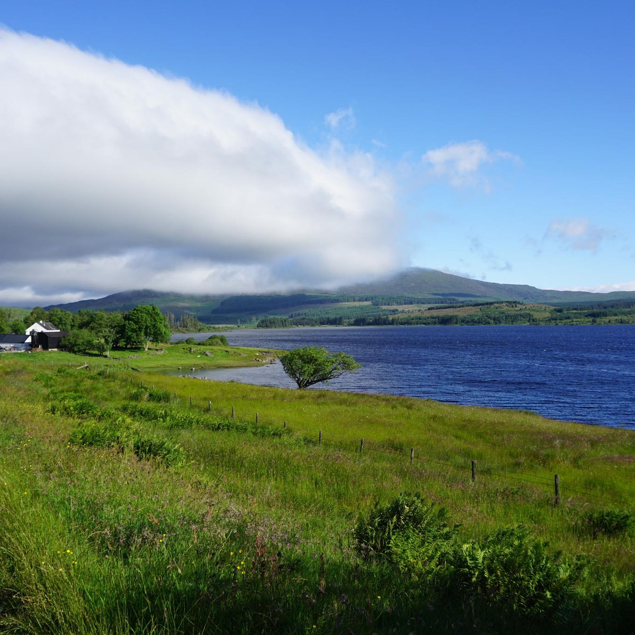
Clatteringshaws Loch is a reservoir in the Scottish Lowlands. It is about five miles west of New Galloway in Galloway Forest Park in the Council Area Dumfries and Galloway. The southern shore offers a wonderful view over the lake.
3
0
Frequently Asked Questions
Are the walking trails around Clatteringshaws Loch suitable for dogs?
Yes, the trails within Galloway Forest Park are generally very welcoming to dogs. The expansive forest paths and open spaces provide excellent opportunities for walking with your canine companion. However, you should always keep your dog under control, especially during lambing season or near wildlife. It's also good practice to check for any specific signage on your chosen route.
Where can I park to go hiking around Clatteringshaws Loch?
There is a main visitor car park at the Clatteringshaws Loch Visitor Centre, which is a pay-and-display facility. For some trailheads, you may also find free parking available in designated laybys along the roads. Always park responsibly and avoid blocking any access routes.
Are there any easy, family-friendly walks in the area?
Absolutely. The region offers several gentle walks perfect for families or those looking for a less strenuous outing. The short, waymarked trail to Bruce's Stone is a popular choice, combining a manageable walk with a point of historical interest. Many of the forest roads are also suitable for a gentle stroll.
I'm looking for a challenging hike. What are my options?
For a more demanding day out, the View of Clatteringshaws Loch loop from Carsphairn offers a significant challenge. This long-distance route covers over 22 km and provides an extensive tour of the landscape. The area also serves as a gateway to the Rhinns of Kells, a rugged range of hills, and the ascent of Merrick, the highest peak in Southern Scotland, starts from the nearby Loch Trool.
Are there circular walking routes available?
Yes, many of the best trails in the area are loops. For a rewarding moderate-length circular walk, consider the Black Loch Car Park – Alexander Murray's Birthplace loop from Minnigaff. It's a great example of the loop trails that allow you to explore the varied terrain of forest and hills without retracing your steps.
What kind of wildlife might I see on a walk?
Clatteringshaws Loch is a haven for wildlife. Keep an eye out for red deer in the forests and listen for the calls of various waterbirds by the loch, especially in summer. The area is also part of the Galloway Kite Trail, so you have a good chance of spotting magnificent red kites soaring overhead.
Are there any waterfalls to see on the trails?
While most trails focus on the loch and forests, the picturesque Grey Mare's Tail waterfall is a notable attraction in the wider Galloway Forest Park. It's located a short stroll from the A712 road, also known as the Queen's Way, making it an easily accessible and worthwhile detour.
What do other hikers think of the trails around Clatteringshaws Loch?
The trails are highly regarded by the komoot community, with an average rating of 4.7 stars. Hikers often praise the stunning views across the loch to the hills, the tranquility of the forests, and the well-maintained mix of paths and forest roads.
Is it possible to reach the trailheads using public transport?
Due to the rural and remote nature of Galloway Forest Park, public transport options directly to the trailheads around Clatteringshaws Loch are very limited. Accessing the area is most conveniently done by car. If you plan to rely on public transport, you should research services to nearby towns like Newton Stewart and arrange for a taxi in advance.
What are the trail conditions like?
The trails vary from wide, well-surfaced forest roads to narrower, more rugged hill paths. While many routes are on solid ground, some sections, particularly on higher or less-trafficked paths, can be boggy after rain. Waterproof hiking boots are strongly recommended for any walk in the area.
Is the area good for stargazing?
Yes, it's exceptional. Clatteringshaws Loch is situated within Galloway Forest Park, the UK's first designated Dark Sky Park. The visitor centre car park overlooks one of the darkest parts of the park, making it a premier location for stargazing on a clear night.
Most popular routes around Clatteringshaws Loch
Most popular attractions around Clatteringshaws Loch

Get inspired with the komoot mobile app


Explore more
Browse the best Hikes in other regions.
