The best gravel rides around Cannectancourt
9
riders
5
rides
Gravel biking around Cannectancourt is characterized by extensive forest cover and a varied topography with elevations ranging from 46 to 182 meters. The region features gentle climbs and descents, with streams like the Ru d'Orval and Ru des Aulnes traversing the commune. A network of quiet, small rural roads connects these natural features, providing diverse terrain for gravel cycling. The area's blend of agricultural plains and natural spaces offers varied terrain for exploration.
Best gravel bike trails around Cannectancourt
- The…
Last updated: July 4, 2026
1
riders
66.6km
04:18
400m
410m
Hard gravel ride. Good fitness required. You may need to push your bike for some segments of this route.
3
riders
53.0km
03:15
360m
360m
Moderate gravel ride. Good fitness required. Mostly paved surfaces. Suitable for all skill levels.

Sign up for free
2
riders
37.8km
02:26
400m
390m
Moderate gravel ride. Good fitness required. Mostly paved surfaces. Suitable for all skill levels.
2
riders
40.4km
02:34
220m
220m
Moderate gravel ride. Good fitness required. Mostly paved surfaces. Suitable for all skill levels.
1
riders
Moderate gravel ride. Good fitness required. Mostly paved surfaces. Suitable for all skill levels.
Our route recommendations are based on thousands of hikes, rides, and runs completed by other people on komoot.
Start today with a free account
Your next adventure awaits.
Login or Signup
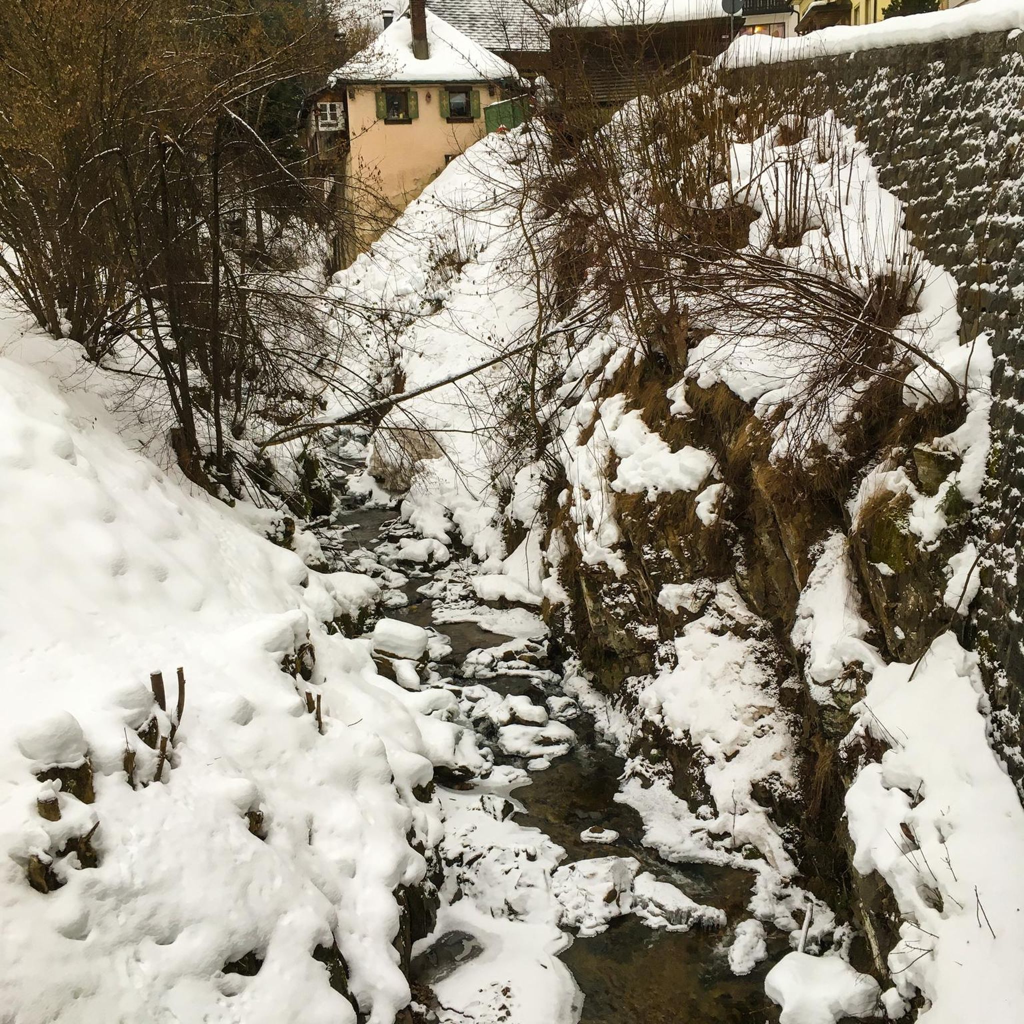
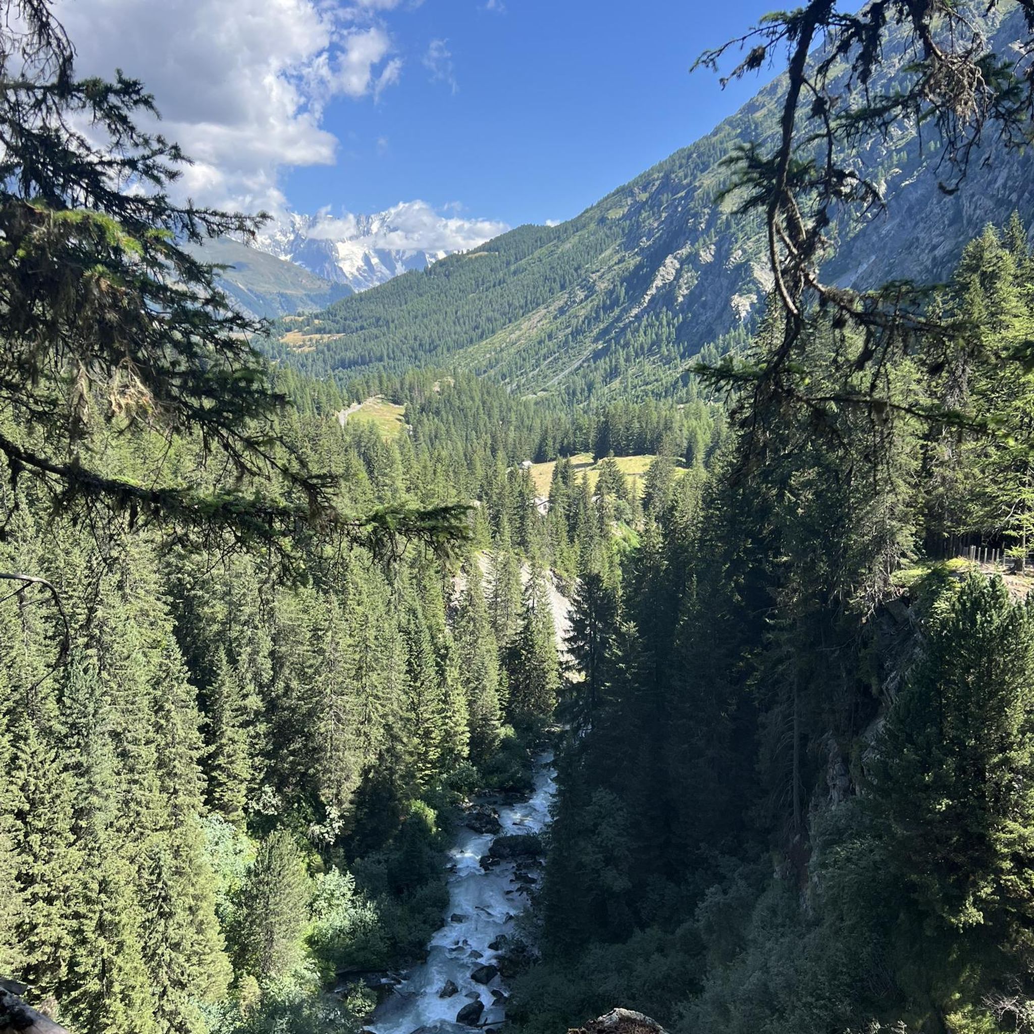
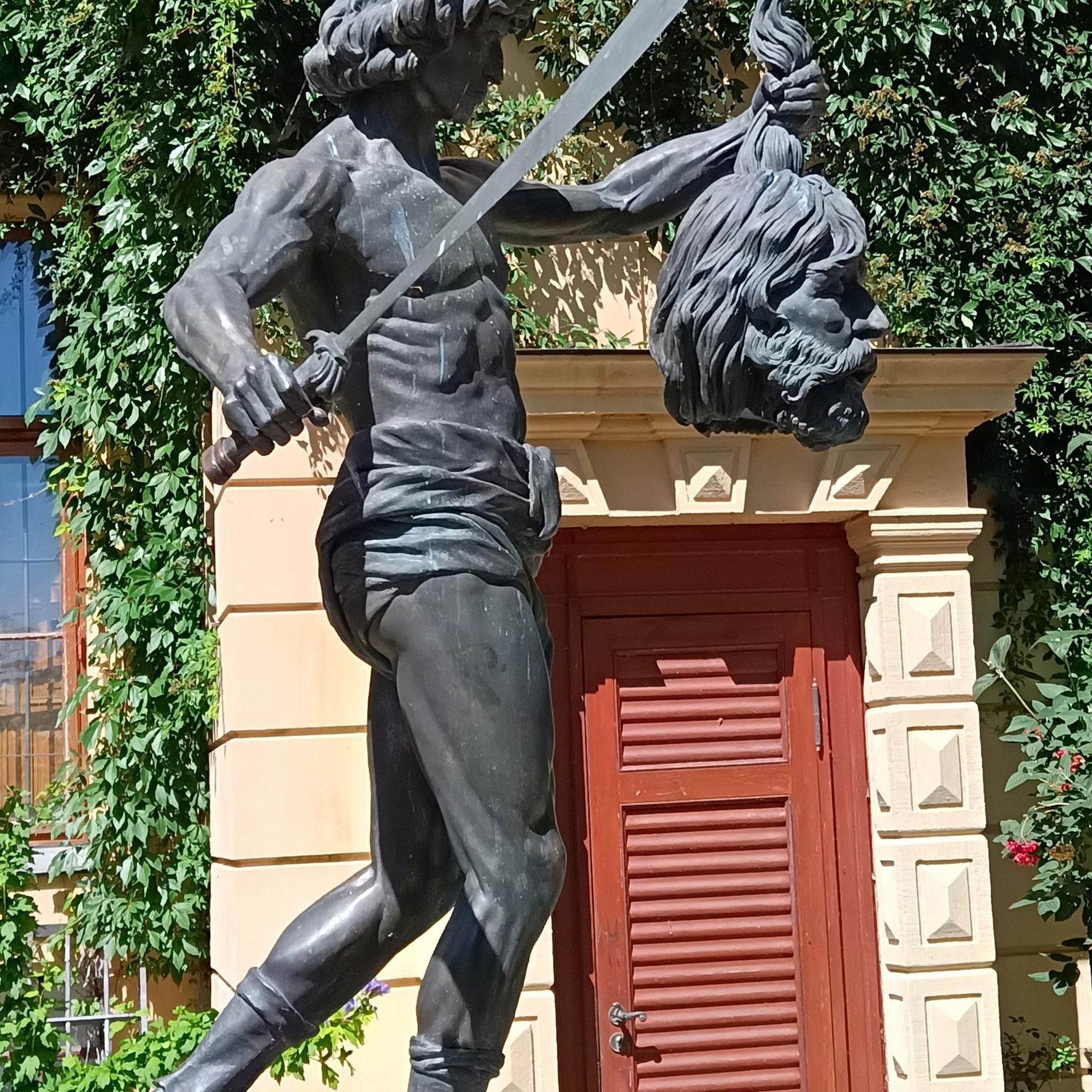
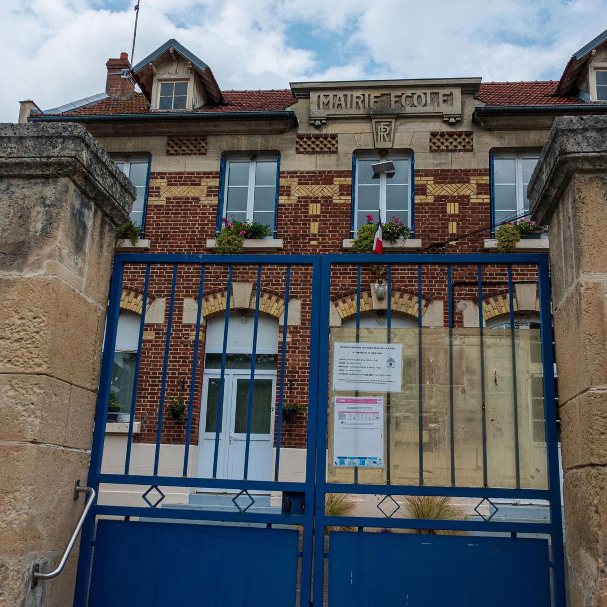
Tips from the Community

charming village with a beautiful church and a very reputable old inn!
0
0

In the heart of the Compiègne forest, the Armistice Glade marks the place where the armistice was signed on November 11, 1918, and then that of June 22, 1940. The site today includes the memorial with the “Armistice Wagon” (recreated car), the statue of Marshal Foch and the Alsace-Lorraine monument.
0
0
Located along the canal in Longueil-Annel, the Cité des Bateliers (Watermen's City) showcases the history of boatmen and local river life. The museum, housed in a former boatman's house and barges, showcases the daily lives of families who lived by the rhythm of navigation.
0
0
Created in 1919, the Méry-la-Bataille national necropolis contains the remains of 1,538 soldiers who died for France during the Battle of Matz in June 1918. Adjacent to the municipal cemetery, it brings together the bodies exhumed from various temporary cemeteries in the Oise, of which 1,286 are buried in individual graves and 254 in two ossuaries. This memorial pays tribute to the soldiers who fell during one of the decisive offensives of the First World War, which helped halt the German advance towards Paris.
0
0

The square itself houses a statue of Joan of Arc, a tribute to the city's historical connection to this iconic figure. The Town Hall, with its rich history and stunning architecture, continues to captivate visitors, offering a glimpse into the past while remaining a vibrant part of Compiègne's present.
2
0
The architecture of the town hall is a true feast for the eyes. The central structure is dominated by a tall bell tower, flanked by two turrets connected by a decorative railing. This imposing façade, 47 meters high and 24 meters wide, is decorated with striking Gothic elements such as pinnacles and basket arches. The large niche now houses a high relief depicting the equestrian statue of Louis XII. It is an original creation from 1869 by the sculptor Henri-Alfred Jacquemart in the realistic style so prevalent at the time. However, contrary to the usual appearance of equestrian statues during the reign of Louis XII, Henri-Alfred Jacquemart chose not to build a horse walking "à l'amble," that is, with both straight legs raised simultaneously. On October 12, 1530, a clock was placed on the summit of the bell tower. From that time on, every quarter of an hour, she animated three wooden jaquemarts with bell hammers. The Compiègneis quickly gave them three nicknames corresponding to the enemies of the time: Langlois for the English, Flandrin for the Flemish, and Lansquenet for the Germans. Even today, they chant the life of the city by "punching the time," that is, by striking their hammer to strike the hours.
2
0

The Aisne is a river in northern France that rises in the Argonne massif and joins the Oise near Compiègne in the Oise department. The Aisne department is named after the river. The Romans already knew the river in ancient times as the Axona; in 57 BC, Caesar defeated a large Belgian coalition in the Battle of the Aisne during the Gallic War. Battles were also fought there during the First World War.
6
0
Frequently Asked Questions
What kind of terrain can I expect on gravel bike trails around Cannectancourt?
Gravel biking around Cannectancourt primarily features extensive forest cover, offering numerous paths and roads away from vehicular traffic. You'll encounter a varied topography with gentle climbs and descents, as well as picturesque routes along streams like the Ru d'Orval and Ru des Aulnes. The region is characterized by a network of quiet, small rural roads, providing a serene cycling experience through the countryside.
How many gravel bike trails are available in the Cannectancourt area?
There are 8 gravel bike trails available around Cannectancourt. These routes offer a range of experiences, from moderate to difficult, catering to different skill levels.
Are there any family-friendly gravel biking options near Cannectancourt?
While many routes in the region offer varied terrain, the guide highlights routes with moderate difficulty. For a relatively accessible experience, consider the Le lavoir – The Wash House loop from Lassigny, which is rated as moderate and takes you through rural landscapes and small villages. Always check the route details for specific elevation and surface conditions to ensure it suits your family's abilities.
What are some notable landmarks or attractions I can see while gravel biking near Cannectancourt?
As you explore the region, you might encounter several historical and natural points of interest. Nearby attractions include the impressive Notre-Dame de Noyon Cathedral and the serene Notre-Dame d'Ourscamp Abbey. These sites offer a glimpse into the rich heritage of the Oise department.
Are there any circular gravel bike routes in the area?
Yes, there are several circular gravel bike routes. A popular option is the Armistice Glade – Lock of Longueil Annel, loop from Bienville, which is a difficult 43.1 km path exploring historical areas and riverside sections. Another is the Le lavoir – The Wash House loop from Lassigny, a moderate 37.7 km trail through rural landscapes.
What is the best time of year to go gravel biking around Cannectancourt?
The Oise department, where Cannectancourt is located, offers varied landscapes that are enjoyable throughout much of the year. Spring and autumn generally provide pleasant temperatures and beautiful scenery, especially with the extensive forest cover. Summer can also be good, though some paths might be dustier. Winter rides are possible, but be prepared for potentially muddy or wet conditions on some trails.
What is the difficulty level of gravel bike trails near Cannectancourt?
The gravel bike trails around Cannectancourt offer a range of difficulty levels. You'll find 4 moderate routes and 3 difficult routes. For example, the Noyon to Compiègne – Tour de l'Oise gravel is rated as difficult, while the Footbridge over the Aisne – Vieux-Moulin loop from Ribécourt is a moderate option.
Can I bring my dog on the gravel biking routes?
While the guide does not specify dog-friendly routes, many natural areas in France allow dogs on trails, often requiring them to be on a leash. Given the extensive forest cover and rural roads around Cannectancourt, it's likely you'll find suitable paths. However, it's always best to check local regulations or signage for specific trails before heading out with your dog.
Are there any cafes or amenities near the gravel trails in Cannectancourt?
Cannectancourt is a rural commune, so amenities like cafes might be limited directly on the trails. However, the region features charming villages, and you'll likely find cafes or small shops in nearby towns. It's advisable to carry sufficient water and snacks, especially for longer rides, and plan your route to pass through larger villages if you anticipate needing refreshments.
What do other gravel bikers enjoy most about gravel biking in Cannectancourt?
The area is highly rated by the komoot community, with an average score of 3.0 stars. Reviewers often praise the varied terrain, the extensive forest roads away from traffic, and the tranquil rural paths that define the gravel biking experience in Cannectancourt.
Are there any longer distance gravel bike routes around Cannectancourt?
Yes, for those looking for longer rides, the Noyon to Compiègne – Tour de l'Oise gravel is a substantial route, covering 67.3 km (41.8 miles) and taking approximately 5 hours and 21 minutes to complete. This route offers varied terrain through the wider Oise department.
Where can I find parking for gravel biking trails near Cannectancourt?
As Cannectancourt is a rural commune, parking is generally available in or near the villages that serve as starting points for many routes. For specific trails, it's recommended to check the individual route details on komoot, as they often provide information about suitable parking locations at trailheads or nearby public areas.
Most popular routes around Cannectancourt
Most popular attractions around Cannectancourt

Get inspired with the komoot mobile app


Explore more
Browse the best Gravel rides in other regions.
