The best gravel rides around Moulin-Sous-Touvent
4.5
(2)
19
riders
3
rides
Gravel biking around Moulin-Sous-Touvent, located in the Oise department of northern France, offers routes through extensive forests and varied landscapes. The region is characterized by a valley where the Bitry stream originates, flowing into the Aisne river, and is bordered by the significant Compiègne and Laigue forests. Riders can expect a mix of terrain, from wide tracks to more technical sections, within a car-free environment. The presence of plateaus in the area also suggests varied terrain, suitable for gravel biking.
…Last updated: July 3, 2026
1
riders
66.6km
04:18
400m
410m
Hard gravel ride. Good fitness required. You may need to push your bike for some segments of this route.
4.5
(2)
12
riders
53.3km
03:09
200m
200m
Moderate gravel ride. Good fitness required. Mostly paved surfaces. Suitable for all skill levels.

Sign up for free
3
riders
53.0km
03:15
360m
360m
Moderate gravel ride. Good fitness required. Mostly paved surfaces. Suitable for all skill levels.
2
riders
36.4km
02:17
270m
270m
Moderate gravel ride. Good fitness required. Mostly paved surfaces. Suitable for all skill levels.
1
riders
19.7km
01:14
180m
180m
Moderate gravel ride. Good fitness required. Mostly paved surfaces. Suitable for all skill levels.
Our route recommendations are based on thousands of hikes, rides, and runs completed by other people on komoot.
Start today with a free account
Your next adventure awaits.
Login or Signup
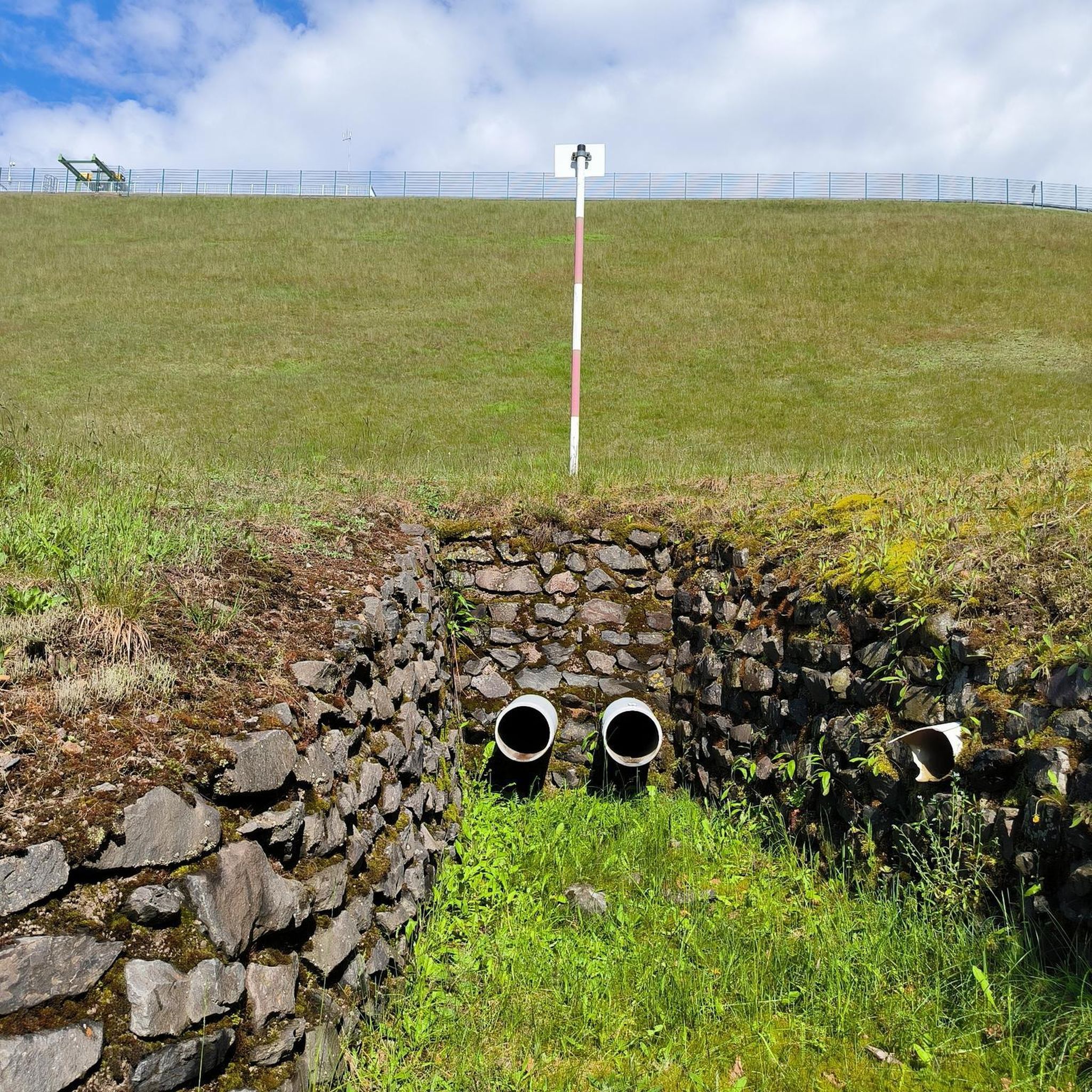
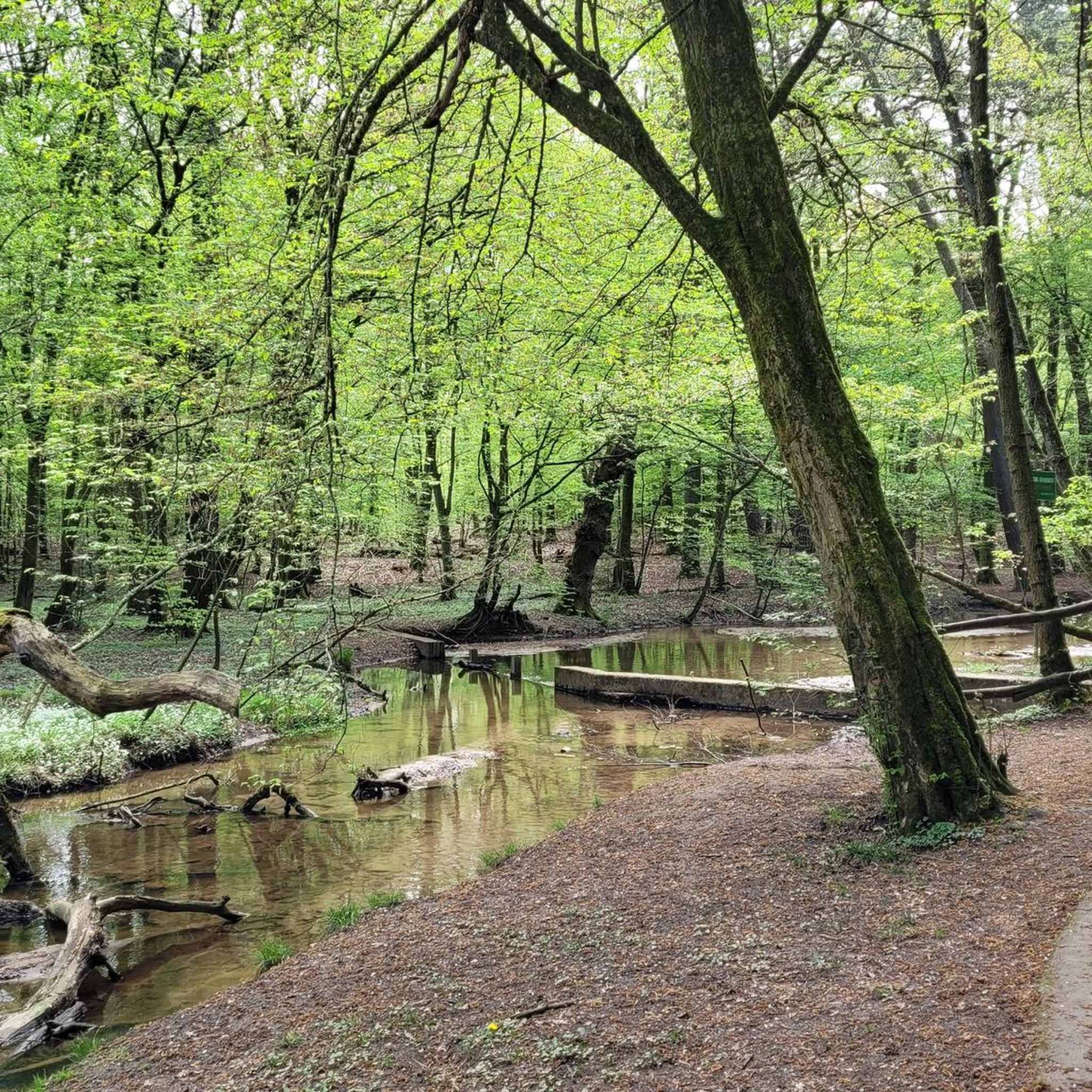

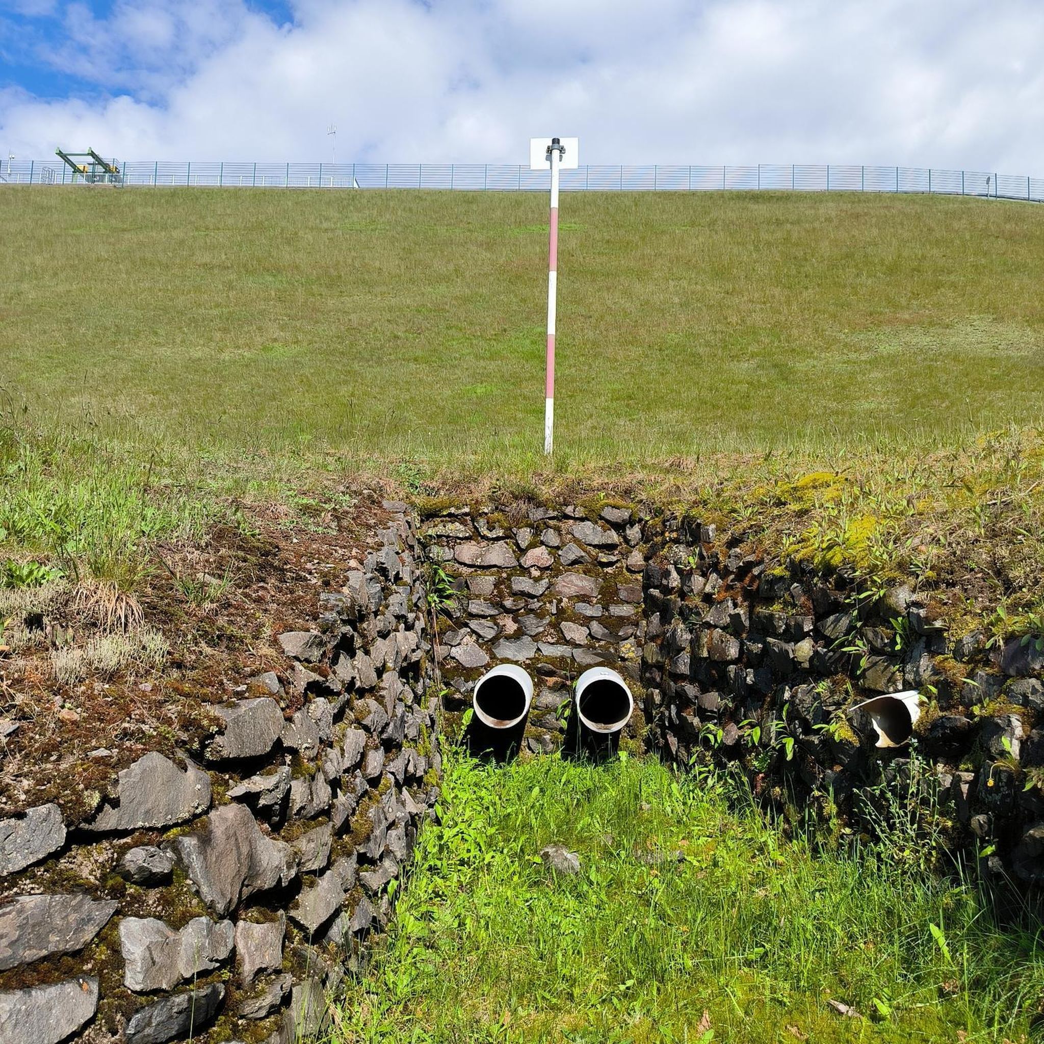
Tips from the Community

charming village with a beautiful church and a very reputable old inn!
0
0

In the heart of the Compiègne forest, the Armistice Glade marks the place where the armistice was signed on November 11, 1918, and then that of June 22, 1940. The site today includes the memorial with the “Armistice Wagon” (recreated car), the statue of Marshal Foch and the Alsace-Lorraine monument.
0
0
Located along the canal in Longueil-Annel, the Cité des Bateliers (Watermen's City) showcases the history of boatmen and local river life. The museum, housed in a former boatman's house and barges, showcases the daily lives of families who lived by the rhythm of navigation.
0
0

Pedestrian and cyclist bridge over the Aisne River. The name, "Passerelle des Anglais," refers to the important role the British played in the liberation of Soissons in 1918 and in the reconstruction of the city after the First World War, including the reconstruction of the original bridge, which was destroyed by the German army.
6
0


New footbridge much wider than the old one.
1
0
Frequently Asked Questions
How many gravel bike trails are available around Moulin-Sous-Touvent?
There are several well-rated gravel bike trails around Moulin-Sous-Touvent, offering diverse experiences for riders. The komoot community has mapped and reviewed 5 distinct routes in the area.
What kind of terrain can I expect on gravel bike routes near Moulin-Sous-Touvent?
The gravel bike routes around Moulin-Sous-Touvent traverse varied terrain, primarily through extensive forests like the Forêt de Compiègne. You can expect a mix of wide tracks suitable for gravel, along with some more technical sections, all within a largely car-free environment. The region's natural parks and varied landscapes ensure a dynamic riding experience.
Are there any family-friendly gravel biking options in the area?
While the routes around Moulin-Sous-Touvent are generally rated as moderate to difficult, making them more suitable for experienced riders, some sections within the Forêt de Compiègne might offer easier, wider paths. For specific family-friendly routes, it's best to check individual tour details on komoot for elevation and surface information to ensure they match your family's skill level.
What are the typical distances and durations for gravel bike trails here?
Gravel bike trails around Moulin-Sous-Touvent vary in length and duration. For example, routes like the Footbridge over the Aisne – Étang de Saint-Crépin loop from Rethondes cover about 36.4 km (22.6 miles) and can be completed in around 2 hours 44 minutes, while others, such as the View of Pierrefonds Castle – Pierrefonds Pond loop from Trosly-Breuil, are closer to 47.9 km (29.8 miles) and take about 3 hours 16 minutes.
What attractions or landmarks can I see along the gravel bike trails?
The region offers a blend of natural beauty and historical sites. Along your rides, you might encounter historical interests such as the Ruin of the priory of Ste Croix or the impressive Notre-Dame de Noyon Cathedral. The View of Pierrefonds Castle – Pierrefonds Pond loop from Trosly-Breuil specifically offers views of historic sites and natural ponds. The Oise-Pays de France Regional Natural Park also features standing stones, abbeys, and châteaux.
Are there any circular gravel bike routes available?
Yes, many of the gravel bike routes around Moulin-Sous-Touvent are designed as loops, allowing you to start and finish at the same point. Examples include the View of the Town Hall – Soissons Town Hall loop from Attichy and the Footbridge over the Aisne – Vieux-Moulin loop from Ribécourt, which provide convenient circular journeys through the region's landscapes.
What do other gravel bikers enjoy most about riding in Moulin-Sous-Touvent?
The area is highly rated by the komoot community, with an average score of 4.75 stars. Reviewers often praise the extensive forests, varied landscapes, and the opportunity to explore regional natural parks. The car-free environment and the mix of wide tracks and more technical sections are also frequently highlighted as enjoyable aspects of gravel biking here.
What is the best time of year for gravel biking around Moulin-Sous-Touvent?
While specific weather conditions vary, the Oise region, like much of France, generally offers pleasant cycling conditions during spring (April-May) and autumn (September-October) when temperatures are mild and the natural scenery is particularly vibrant. Summer can also be enjoyable, though it's advisable to ride earlier in the day to avoid peak heat.
Are there places to stop for refreshments or accommodation along the routes?
The routes often pass through or near small towns and villages where you may find local cafes, pubs, or restaurants. For accommodation, you'll find options ranging from hotels to guesthouses in larger towns within the Oise region. It's recommended to check the specific route details on komoot or local tourism information for services available directly along your chosen trail.
How can I access the gravel bike trails, and is parking available?
Access to the gravel bike trails typically involves reaching the starting points of the routes, often located in or near towns like Attichy, Trosly-Breuil, or Rethondes. Parking availability can vary, but many towns and villages in the region offer public parking. For specific trailheads, it's advisable to consult the individual route descriptions on komoot for detailed starting locations and potential parking information.
What are the elevation gains like on these gravel routes?
The elevation gains on gravel routes around Moulin-Sous-Touvent vary, contributing to the moderate to difficult ratings. For instance, the Noyon to Compiègne – Tour de l'Oise gravel route features an elevation gain of over 420 meters (1,378 feet), while the Footbridge over the Aisne – Vieux-Moulin loop from Ribécourt has an ascent of around 356 meters (1,168 feet). These indicate a good mix of rolling terrain and some climbs.
Most popular routes around Moulin-Sous-Touvent
Most popular attractions around Moulin-Sous-Touvent

Get inspired with the komoot mobile app


Explore more
Browse the best Gravel rides in other regions.
