The best gravel rides around Saint-André-D'Huiriat
4.4
(20)
89
riders
14
rides
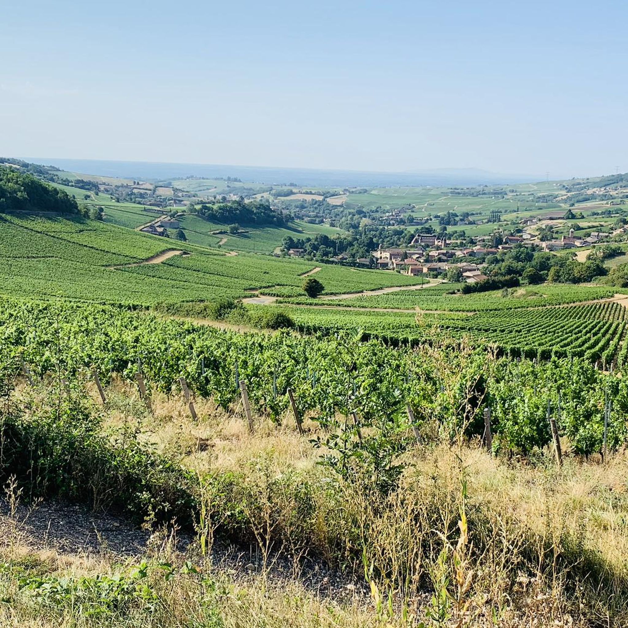
Gravel biking around Saint-André-D'Huiriat offers access to the varied landscapes of the Ain department in eastern France. The region is characterized by the rolling routes of the Bresse plain, traversing fields, pastures, and wooded areas. To the south, the Dombes region features unique pond-dotted scenery and marshlands. The Veyle river valley also provides gently undulating terrain suitable for gravel routes.
Best gravel bike trails around Saint-André-D'Huiriat
- The most popular gravel bike trail is Landschaft – Panoramic View of the Saône…
Last updated: July 1, 2026
18
riders
35.0km
01:49
50m
50m
Easy gravel ride. Great for any fitness level. Mostly paved surfaces. Suitable for all skill levels.
4.8
(4)
7
riders
28.8km
01:53
150m
150m
Moderate gravel ride. Good fitness required. Mostly paved surfaces. Suitable for all skill levels.

Sign up for free
3
riders
33.2km
02:19
150m
150m
Moderate gravel ride. Good fitness required. Mostly paved surfaces. Suitable for all skill levels.
3
riders
30.4km
01:43
110m
110m
Easy gravel ride. Great for any fitness level. Mostly paved surfaces. Suitable for all skill levels.
3.5
(4)
4
riders
32.7km
02:18
220m
220m
Moderate gravel ride. Good fitness required. Mostly paved surfaces. Suitable for all skill levels.
Get access to more routes and recommendations from other explorers.
Sign up for free
Already have an account?
Our route recommendations are based on thousands of hikes, rides, and runs completed by other people on komoot.
Start today with a free account
Your next adventure awaits.
Login or Signup

Tips from the Community

The Berges de la Saône (the riverbank promenade of the Saône River) is a modernized riverbank section in the Burgundy region of France, near the road du Pont Vert. This paved riverside path is a popular section of the well-known La Voie Bleue cycle route (Moselle-Saône cycle route) and serves as a recreational and event area for both pedestrians and cyclists.
1
0
The Esplanade Lamartine forms the green heart of the Mâcon waterfront, directly on the Saône. The area is named after the famous French poet, writer, and politician Alphonse de Lamartine, who was born in Mâcon in 1790. A striking bronze statue in his honor dominates the square. The large, white "MACON" lettering from your photo is a very popular photo motif for tourists. It stands on a green strip directly on the Esplanade and offers the river as well as the rows of houses opposite as a backdrop.
1
0
The Saint-Laurent Bridge (Pont Saint-Laurent) is a historic stone bridge that spans the Saône River. It connects the town of Mâcon in the Saône-et-Loire department with the municipality of Saint-Laurent-sur-Saône in the Ain department. Initial wooden structures were already built by the Romans. The current stone bridge dates back to the 11th century in its core and is considered the oldest bridge over the Saône. The structure consists of twelve stone arches. On one of the pillars, there is a statue of Saint Nicholas, the patron saint of boatmen. It is one of the few historic structures in the region that survived the demolitions of World War II unscathed.
1
0

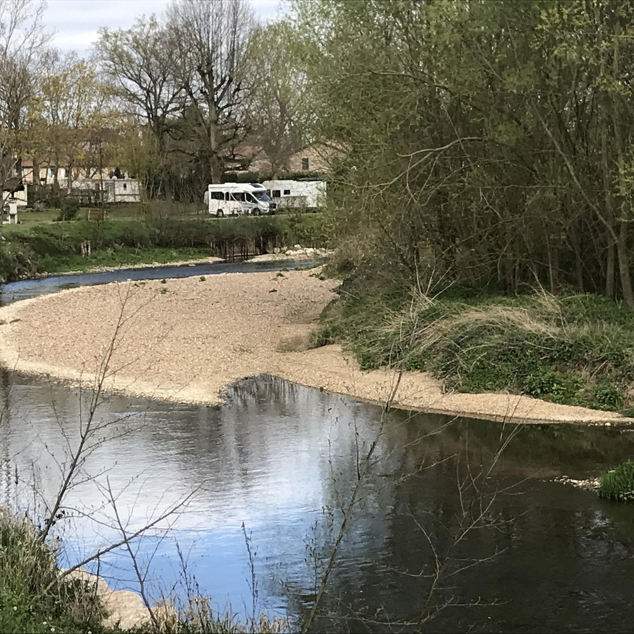
Great welcome, even just for a coffee, filling up with water and disposing of our waste. Looking at the menu, the dishes seem delicious.
0
0

Beautiful cycle path directly along the Saone.
0
0

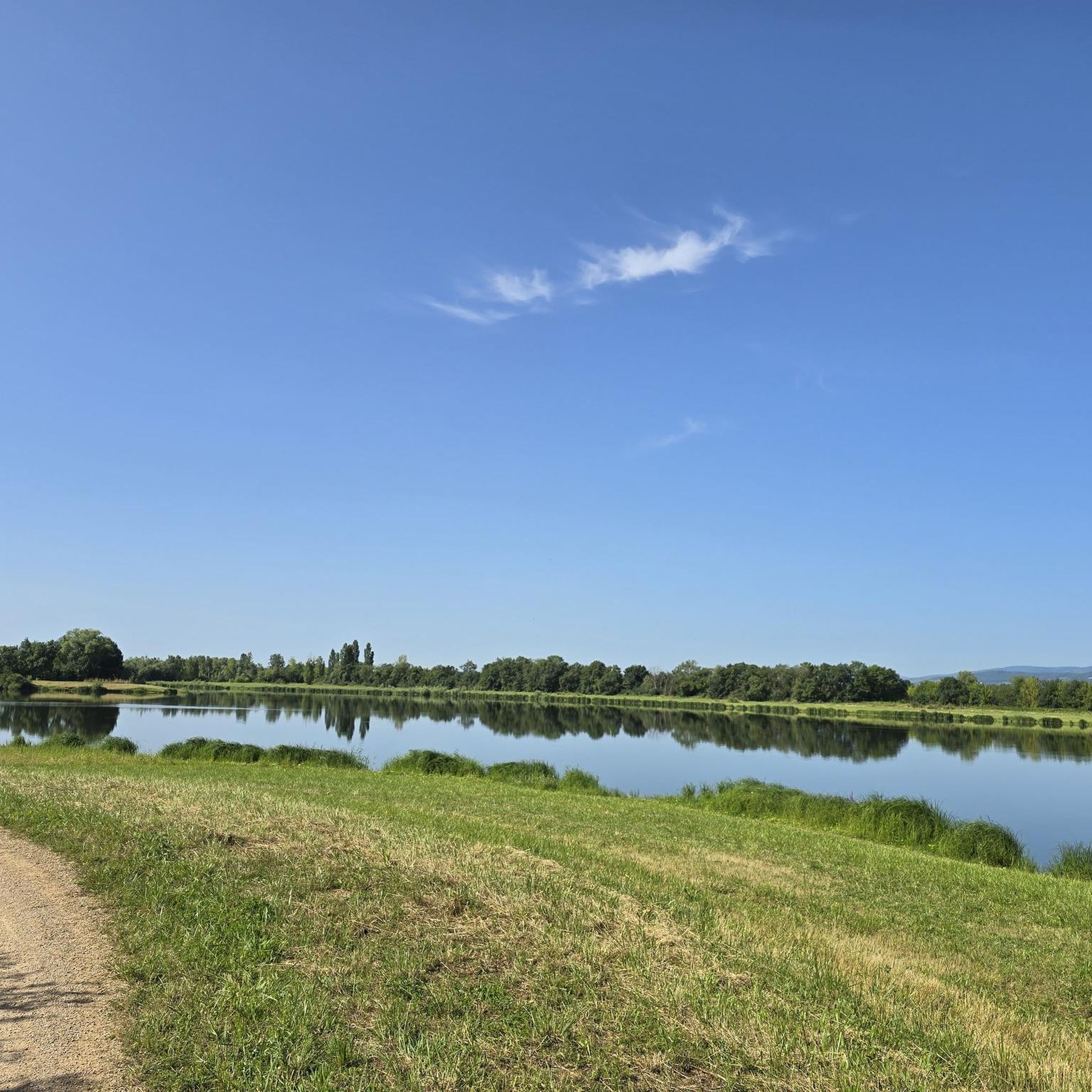
Quiet and ideal place for a picnic. Benches, tables and bicycle parking
0
0

Made with road tires without problem
0
0

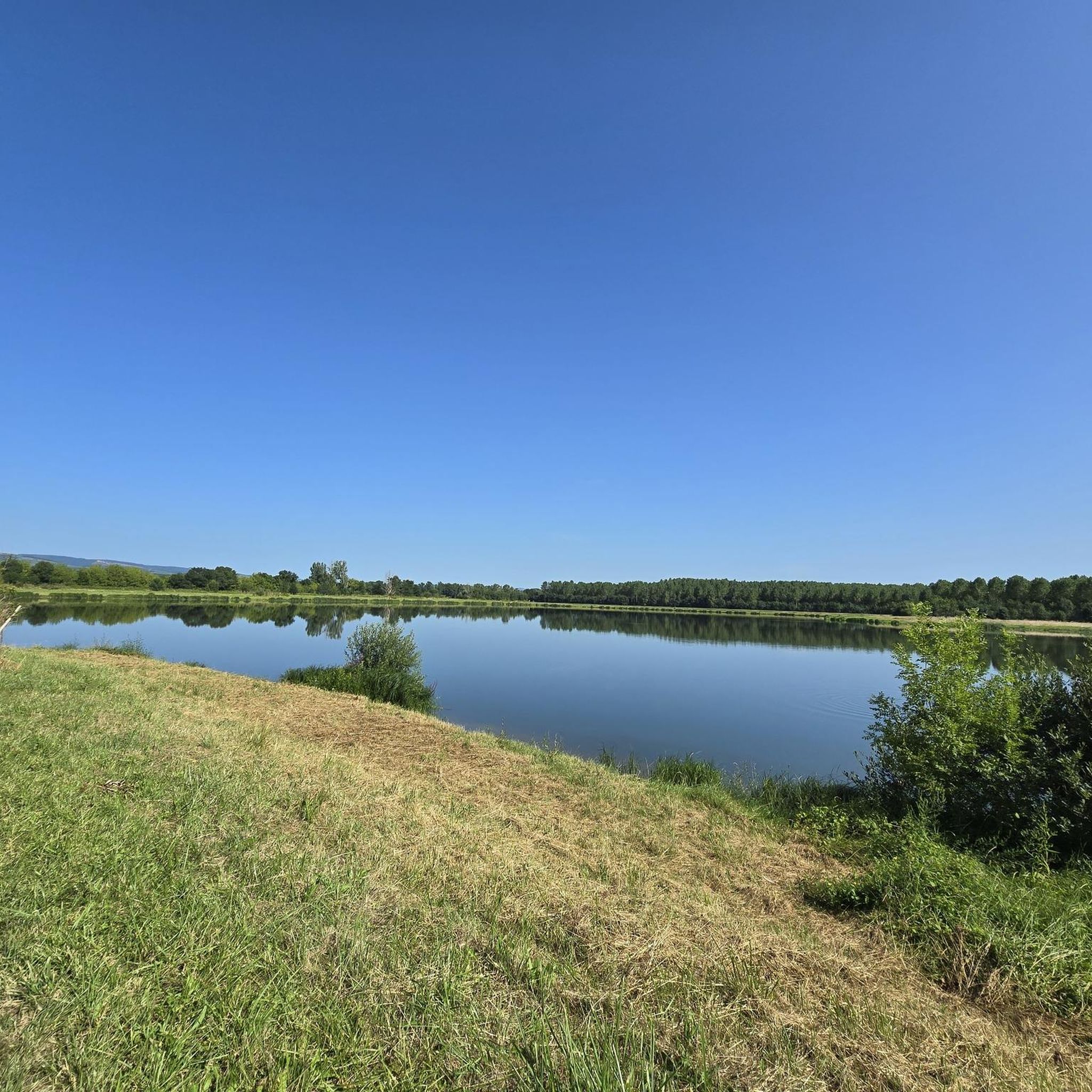
pretty slaloming track between the ponds
0
0
Frequently Asked Questions
How many gravel bike trails are available around Saint-André-D'Huiriat?
There are over 10 gravel bike routes around Saint-André-D'Huiriat, offering a diverse range of experiences. These include 5 easy routes and 7 moderate routes, catering to various skill levels.
What kind of landscapes can I expect on gravel bike routes near Saint-André-D'Huiriat?
Gravel biking around Saint-André-D'Huiriat offers a mix of landscapes. You'll find rolling routes through the Bresse plain, characterized by fields, pastures, and wooded areas. To the south, the Dombes region provides unique pond-dotted scenery and marshlands, while the Veyle river valley offers gently undulating terrain.
Are there any family-friendly gravel bike trails in the area?
Yes, the region offers several easy routes suitable for families. The Bresse plain, with its calmer, less technical gravel paths, is ideal for family outings. For example, the Restaurant du Pont – Guéreins loop from Saint-Didier-sur-Chalaronne is an easy 30.4 km trail through the Veyle river valley.
Can I find circular gravel bike routes around Saint-André-D'Huiriat?
Many of the gravel routes in the area are circular, allowing you to start and end at the same point. Examples include the Landschaft – Panoramic View of the Saône loop from Garnerans and the La Saône, great cycle routes 👍 loop from Crêches-sur-Saône.
What are some notable landmarks or natural features I can see while gravel biking?
Along the routes, you can enjoy views of the Saône river landscape, such as the View of Mâcon and the Saône from the François Mitterand bridge. You might also pass by the Cormoranche Lake Leisure Center or explore the charming town of Châtillon-sur-Chalaronne.
What is the difficulty level of gravel biking trails in Saint-André-D'Huiriat?
The gravel biking trails around Saint-André-D'Huiriat range from easy to moderate. There are 5 easy routes, perfect for beginners or a relaxed ride, and 7 moderate routes for those seeking a bit more challenge. There are no difficult routes listed directly in this area, making it accessible for most riders.
Are there any long-distance gravel routes available?
Yes, for a longer adventure, consider the La Voie Bleue – Beauregard loop from Crêches-sur-Saône. This extensive route covers approximately 148.8 km, offering a full day of riding through the broader Saône region.
What do other gravel bikers say about the routes in Saint-André-D'Huiriat?
The gravel biking routes around Saint-André-D'Huiriat are highly regarded by the komoot community, with an average rating of 4.7 out of 5 stars from over 6 reviews. Riders often appreciate the varied terrain, from the rolling Bresse plain to the scenic river valleys, and the well-maintained paths.
Which gravel routes offer panoramic views?
For scenic vistas, the Landschaft – Panoramic View of the Saône loop from Garnerans is an excellent choice. This moderate 34.4 km route provides beautiful views of the Saône river landscape.
What is the best time of year for gravel biking in Saint-André-D'Huiriat?
The Auvergne-Rhône-Alpes region generally offers pleasant conditions for cycling from spring through autumn. The Bresse plain and Dombes areas are particularly enjoyable in milder weather, allowing you to fully appreciate the rural routes, sunshine, and cool undergrowth. Always check local weather forecasts before heading out.
Are there gravel routes that follow river valleys?
Yes, the Veyle river valley, geographically close to Saint-André-D'Huiriat, provides excellent gravel routes. These paths often feature relatively flat to gently undulating terrain, combining natural beauty with accessible riding. The Restaurant du Pont – Guéreins loop from Saint-Didier-sur-Chalaronne is an example of a route that leads through this scenic valley.
Can I find routes that explore the Dombes region's unique landscapes?
While Saint-André-D'Huiriat is part of the Bresse plain, its proximity to the Dombes region means you can access routes featuring its characteristic 'thousand ponds' scenery. These areas offer unique landscapes with numerous lakes and marshlands, often on little-used rural paths suitable for gravel bikes.
Most popular routes around Saint-André-D'Huiriat
Most popular attractions around Saint-André-D'Huiriat

Get inspired with the komoot mobile app


Explore more
Browse the best Gravel rides in other regions.
