The best walks and hikes around Saint-André-D'Huiriat
4.4
(61)
543
hikers
64
hikes
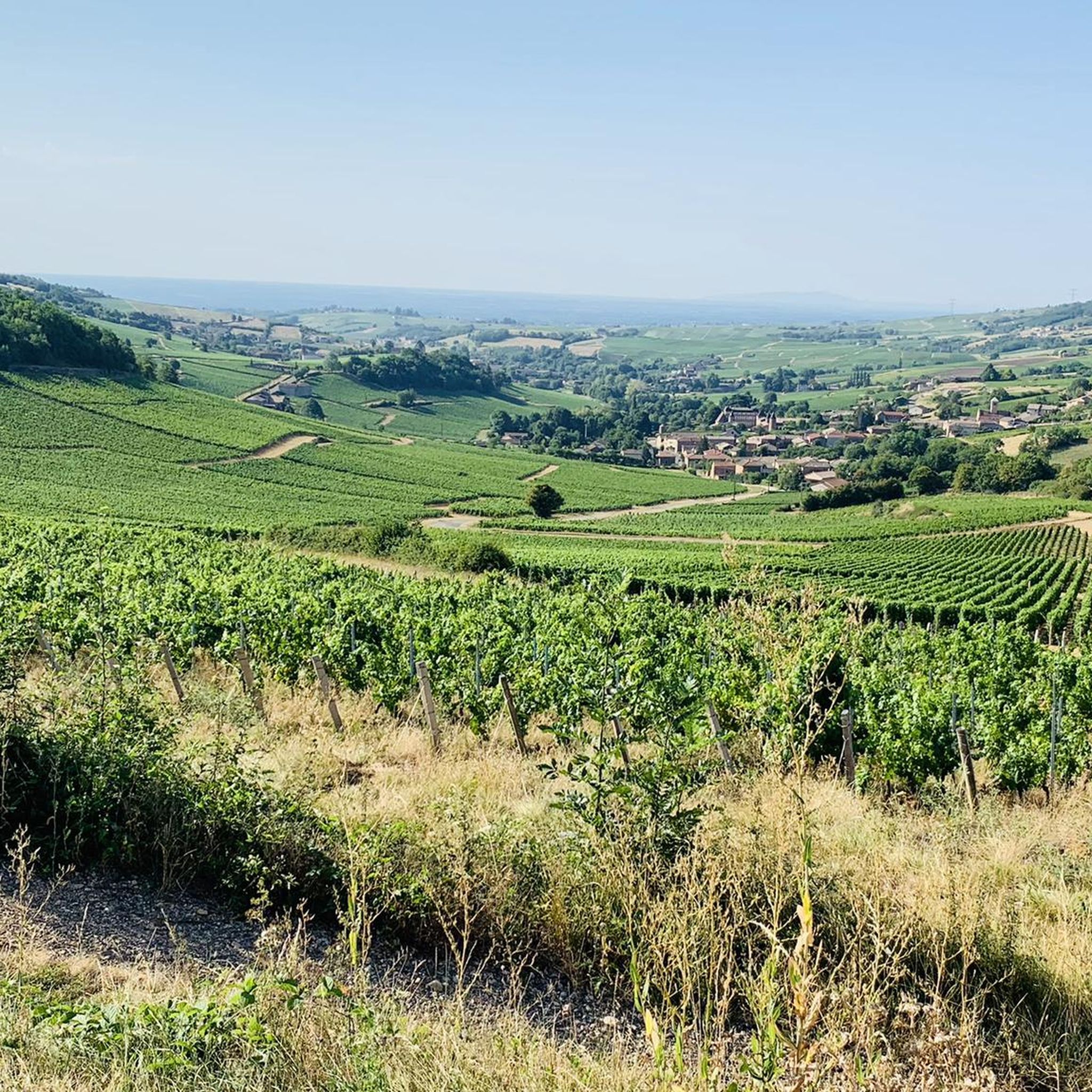
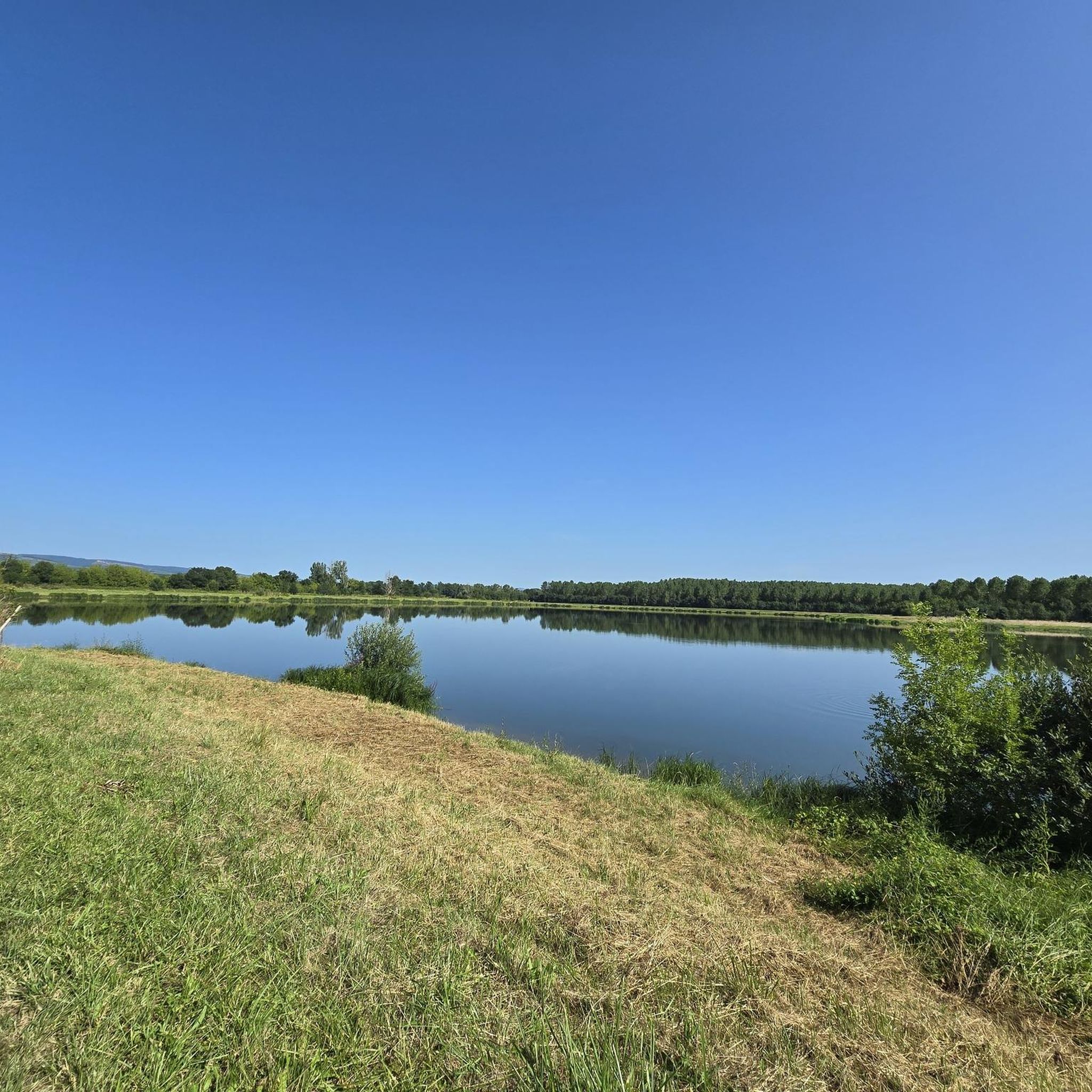
Hiking around Saint-André-D'Huiriat offers diverse landscapes, blending hedged farmland, forests, and numerous bodies of water. The region is characterized by the Val de Saône, a protected natural area with wet meadows and alluvial woodlands, and the gentler plains of Bresse and Dombes. This topography provides accessible trails suitable for various outdoor activities.
Best hiking trails around Saint-André-D'Huiriat
- The most popular hiking route is Daffodil trail loop from Garnerans, a 4.0 miles (6.5 km) trail that takes 1 hour 41…
Last updated: June 27, 2026
11
hikers
6.52km
01:41
30m
30m
Easy hike. Great for any fitness level. Easily-accessible paths. Suitable for all skill levels.
2.0
(1)
7
hikers
8.36km
02:08
30m
30m
Moderate hike. Good fitness required. Easily-accessible paths. Suitable for all skill levels.

Sign up for free
4.0
(1)
5
hikers
11.4km
03:00
100m
100m
Moderate hike. Good fitness required. Easily-accessible paths. Suitable for all skill levels.
5.0
(1)
6
hikers
7.60km
01:59
60m
60m
Easy hike. Great for any fitness level. Easily-accessible paths. Suitable for all skill levels.
5.0
(1)
7
hikers
12.1km
03:08
70m
70m
Moderate hike. Good fitness required. Easily-accessible paths. Suitable for all skill levels.
Get access to more routes and recommendations from other explorers.
Sign up for free
Already have an account?
Our route recommendations are based on thousands of hikes, rides, and runs completed by other people on komoot.
Start today with a free account
Your next adventure awaits.
Login or Signup


Tips from the Community

The Church of Bey seems isolated, far from the village. Indeed, until 1698, it was the parish church of Garnerans and Bey. At the time, it was right in the center of the parish. On its promontory, it was the outpost of the Counts of Savoy, facing the Beaujolais enclave (Garnerans), which would be annexed to France in 1736, and facing Burgundy. The Savoyard enclave of Bresse existed until 1601. The Monspe family, who built the church, was the showcase of Savoy. The richness of the church's interior decorations seems to be a hallmark of this.
0
0

Parts of this church date back to the 10th century. This church, with its rather low tower, is still clearly visible from afar when hiking in the area around Saint-André-d'Huiriat. The church is cordoned off, but there is a viewing gate at the entrance through which the interested visitor can view the interior.
4
0

You can find water in the cemetery next to the church.
1
0

Worth seeing small church in Illiat.
2
0

Good spot to make a stop :) There are public bathrooms on the side of the church WC publics à côté de l'église
1
0
Frequently Asked Questions
How many hiking trails are available around Saint-André-D'Huiriat?
There are over 50 hiking routes in the Saint-André-D'Huiriat area. This network offers a variety of options for different ability levels, including 19 easy and 38 moderate trails, ensuring there's something for everyone.
What is the typical length and duration of hikes in the area?
Hikes around Saint-André-D'Huiriat vary in length and duration. For example, the Daffodil trail loop from Garnerans is about 6.5 km and takes around 1 hour 41 minutes. Longer options like the Georges Blanc Village, Vonnas – Georges Blanc loop from Saint-Julien-sur-Veyle extend to about 12.3 km, typically requiring over 3 hours to complete.
Are there easy trails suitable for beginners or families?
Yes, Saint-André-D'Huiriat offers a good selection of easy trails. Out of the 57 routes, 19 are classified as easy, making them suitable for beginners or families looking for a relaxed walk. The Saint-André Church loop from Saint-André-d'Huiriat is an easy 7.6 km trail that passes local landmarks.
What natural features or landmarks can I see while hiking?
The region is rich in natural beauty, particularly the Val de Saône, a protected area with wet meadows, oxbows, and alluvial woodlands. You might encounter diverse flora and bird species. The View of Mâcon and the Saône from the François Mitterand bridge offers scenic vistas, and the Cormoranche Lake Leisure Center is another point of interest.
Are there circular hiking routes available?
Many of the trails around Saint-André-D'Huiriat are circular, offering convenient starting and ending points. Examples include the Daffodil trail loop from Garnerans and the Pont de Veyle loop from Saint-Jean-sur-Veyle, allowing you to explore without retracing your steps.
When is the best time of year to go hiking in Saint-André-D'Huiriat?
The diverse landscapes of Saint-André-D'Huiriat, with its hedged farmland, forests, and water features, are enjoyable throughout much of the year. Spring and autumn offer pleasant temperatures and vibrant scenery, while summer provides longer daylight hours. The gentler terrain of the Bresse and Dombes plains makes it accessible even in cooler months.
What do other hikers enjoy most about hiking in Saint-André-D'Huiriat?
The area is highly rated by the komoot community, with an average score of 4.4 stars from over 50 reviews. Hikers often praise the varied rural landscapes, the peaceful atmosphere, and the well-maintained paths that blend hedged farmland, forests, and water features.
Can I hike with my dog in Saint-André-D'Huiriat?
While specific regulations for dogs on trails are not detailed, the rural and natural environment of Saint-André-D'Huiriat generally welcomes responsible dog owners. It's always recommended to keep your dog on a leash, especially near livestock or in protected natural areas like the Val de Saône, and to clean up after them.
Are there any cultural or historical points of interest along the trails?
Yes, the region has historical charm. The Romanesque Church of Saint-André itself, with parts dating back to the 10th century, is a notable point of interest. The Saint-André Church loop from Saint-André-d'Huiriat passes by this local landmark, offering a blend of nature and history.
What are some interesting places to explore near the hiking trails?
Beyond the trails, you can explore nearby attractions. The charming town of Châtillon-sur-Chalaronne is worth a visit, and the Georges Blanc Village in Vonnas offers gastronomic experiences. For nature lovers, the Berges de la Saône provides a peaceful riverside setting.
Is parking available at trailheads?
While specific parking details for every trailhead are not listed, most rural hiking areas in France, including Saint-André-D'Huiriat, typically offer designated or informal parking spots near popular starting points for trails. It's advisable to check local signage upon arrival.
Most popular routes around Saint-André-D'Huiriat
Most popular attractions around Saint-André-D'Huiriat

Get inspired with the komoot mobile app


Explore more
Browse the best Hikes in other regions.
