The best mountain hikes around Chamalières
4.8
(5)
41
hikers
3
hikes
Mountaineering routes around Chamalières are set within the dramatic volcanic landscapes of the Puy-de-Dôme department in central France. The region is characterized by its prominent volcanic peaks, including the iconic Puy de Dôme, and is part of the Chaîne des Puys, a UNESCO World Heritage site. This area offers diverse terrain ranging from ancient volcanic formations to verdant forests, providing varied challenges and panoramic views for mountaineers.
Best mountaineering routes around Chamalières
- The most popular mountaineering route is Puy de…
Last updated: May 20, 2026
4.5
(4)
37
hikers
4.95km
01:54
360m
360m
Moderate mountaineering route. Good fitness required. Easily-accessible paths. Suitable for all skill levels.
5.0
(1)
2
hikers
Hard mountaineering route. Good fitness required. Sure-footedness, sturdy shoes and alpine experience required.
Our route recommendations are based on thousands of hikes, rides, and runs completed by other people on komoot.
Start today with a free account
Your next adventure awaits.
Login or Signup
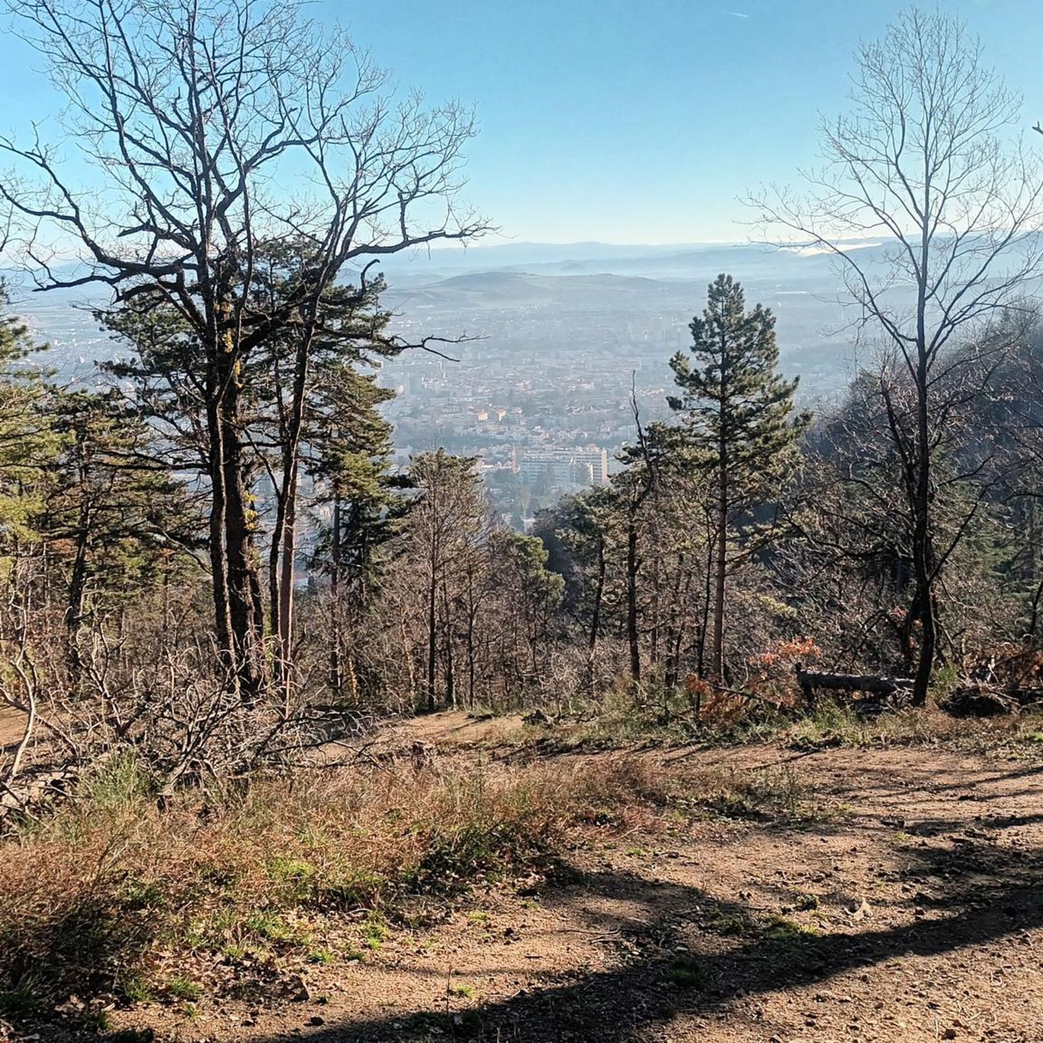
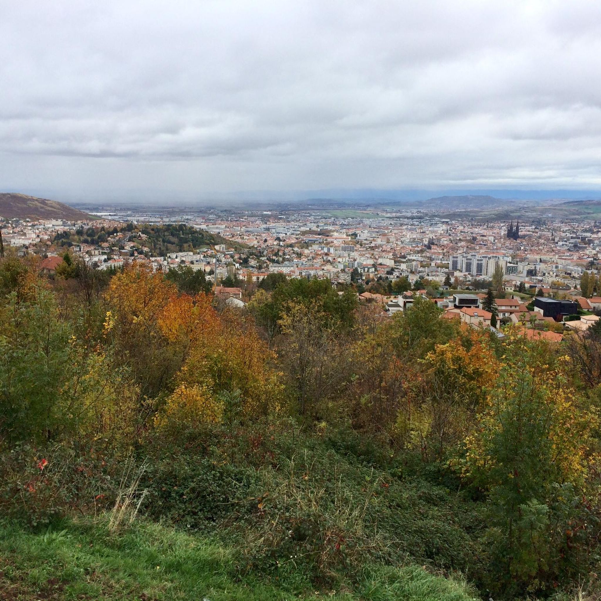
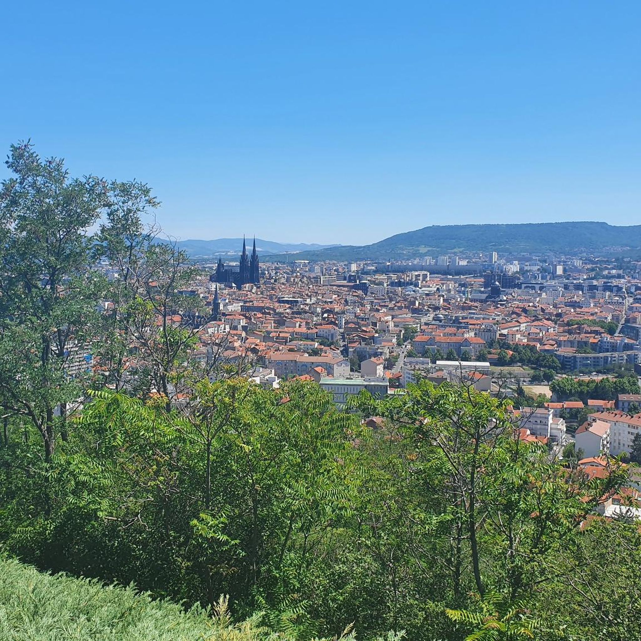
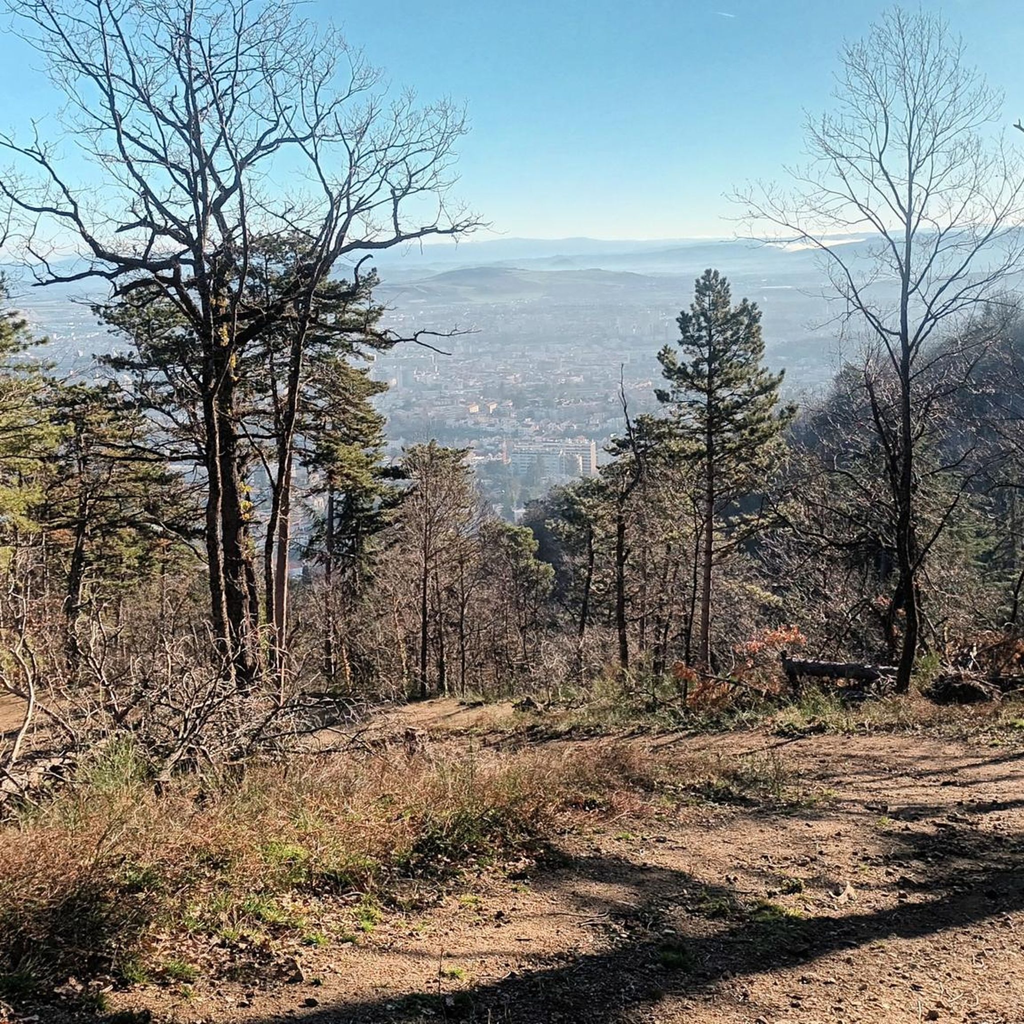
Tips from the Community

It's better to go up via Ceyssat and come back down via Orcines. The climb still hurts but there's less traffic and the descent is worth it 😉
0
0

Possibility of having a drink and/or something to eat just opposite the pass sign
0
0

Very beautifully preserved and restored temple complex.
0
0

Steeeeeeep climb, but the view keeps getting better with every corner.
0
0

Heavy slope, but very beautiful. 350 altimeters for about 2200m.
0
0

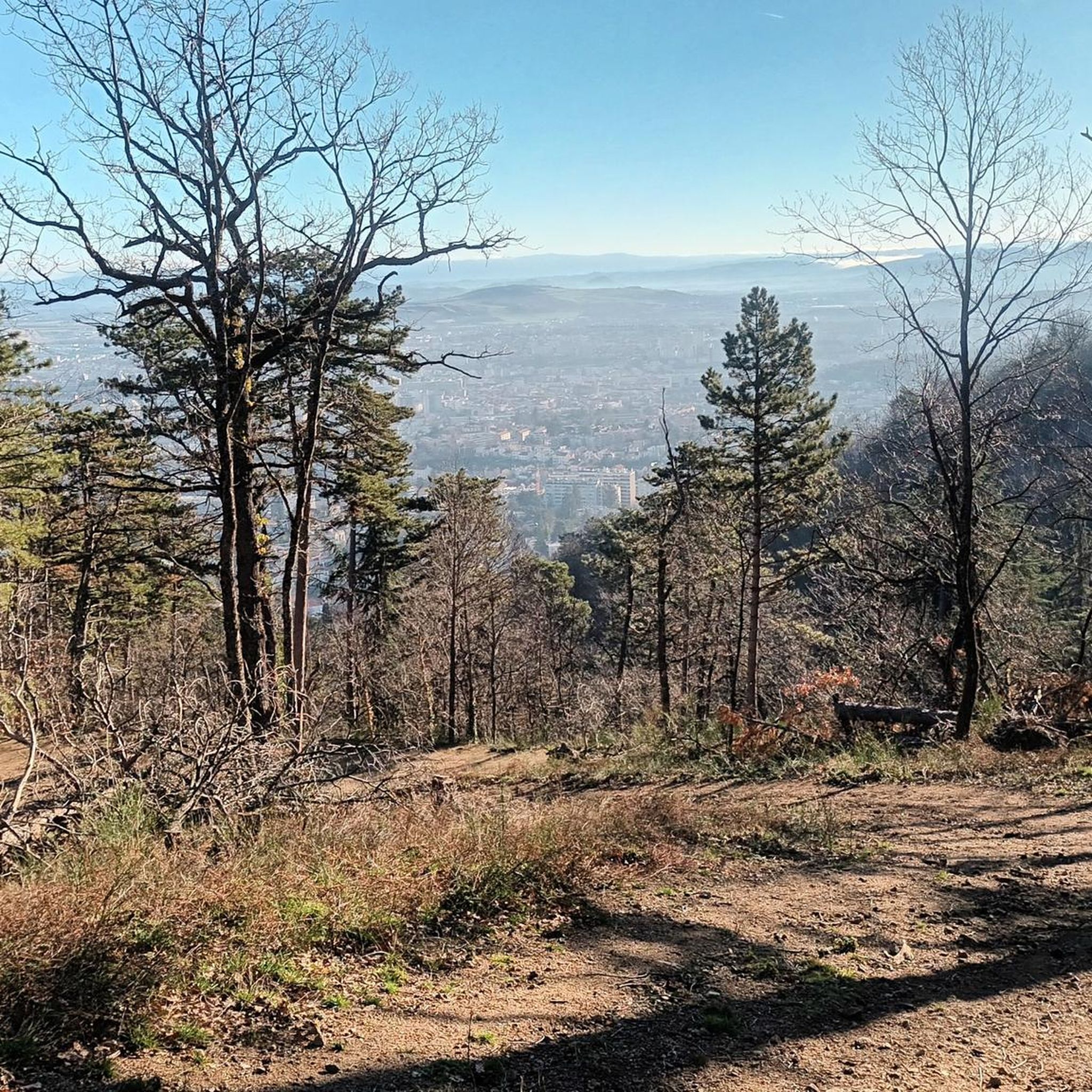
Beautiful views of the Puy de Dôme and volcanoes
0
0

An old temple will be rebuilt here, impressive and worthwhile project👍 I'll definitely take a look
0
0

Error or ignorance: there is no panoramic cable car to reach the summit of the Puy de Dôme. There is only a panoramic cogwheel train that leaves from the bottom of the volcano. The journey offers the possibility of seeing superb points of view. Other information: the road bordering the train track is a service road. It is prohibited for cars and bicycles. From time to time, thanks to sporting events, it is exceptionally open to cyclists. This road will be taken in July 2023 by the riders of the Tour de France in the final of one of the stages run in Auvergne.
0
0
Frequently Asked Questions
What are the difficulty levels of mountaineering routes around Chamalières?
The mountaineering routes in this area offer a range of difficulties. You'll find 2 moderate routes and 1 difficult route, providing options for various skill levels. For example, the Puy de Dôme loop from Puy de Dôme is a moderate ascent, while the Clierzou Caves – Bruyères des Moines loop from Parking du camp de la Fontaine du Berger is considered difficult.
Are there any circular mountaineering routes in the Chamalières area?
Yes, several routes are designed as loops, allowing you to start and finish at the same point. For instance, the Puy de Dôme loop from Puy de Dôme and the Ceyssat Pass – Puy de Dôme Summit loop from Chaîne des Puys are both excellent circular options for exploring the volcanic landscapes.
What kind of views can I expect on these mountaineering routes?
The routes around Chamalières offer spectacular views, primarily of the volcanic landscapes of the Chaîne des Puys, a UNESCO World Heritage site. Ascents like those around the Puy de Dôme Summit provide breathtaking 360-degree panoramas of the surrounding volcanic chain and the Auvergne region.
Are there any notable landmarks or attractions along the mountaineering routes?
Absolutely. The region is rich in natural and historical landmarks. You can encounter the iconic Puy de Dôme Summit, explore the unique Puy de la Vache with its distinct crater, or even discover the ancient Temple of Mercury ruins on Puy de Dôme. The Puy Pariou summit and crater also offers a memorable experience.
Is parking available at the trailheads for these routes?
Yes, parking is available for some routes. For example, the Clierzou Caves – Bruyères des Moines loop starts from the Parking du camp de la Fontaine du Berger, making it convenient for those traveling by car.
What is the best time of year for mountaineering around Chamalières?
The best time for mountaineering around Chamalières is typically from spring to autumn (April to October). During these months, the weather is generally more stable, and trails are clear of snow, offering optimal conditions for exploring the volcanic landscapes and enjoying the panoramic views. Always check local weather forecasts before heading out.
Are the mountaineering routes around Chamalières suitable for families?
While some routes involve significant elevation gain and can be challenging, there are options that families with older children might enjoy. The region's diverse terrain means you can find paths that are less strenuous. Always check the specific route details, including distance and elevation, to ensure it matches your family's capabilities.
Can I bring my dog on the mountaineering trails in this region?
Many trails in the Auvergne region, especially within natural parks, have specific rules regarding dogs. While some areas may permit dogs on a leash, others might restrict access to protect wildlife or sensitive ecosystems. It's always best to check local regulations for the specific trail you plan to hike, particularly within the Chaîne des Puys UNESCO site, to ensure a pleasant and compliant experience.
How long do these mountaineering routes typically take to complete?
The duration varies depending on the route and your pace. For example, the Puy de Dôme loop from Puy de Dôme is approximately 3.1 miles (5.0 km) and typically takes around 1 hour 54 minutes. A longer route like the Ceyssat Pass – Puy de Dôme Summit loop from Chaîne des Puys, at 5.8 miles (9.3 km), might take closer to 3 hours 10 minutes.
What do other mountaineers enjoy most about the routes in Chamalières?
The mountaineering routes around Chamalières are highly rated by the komoot community, with an average score of 4.75 stars. Reviewers often praise the dramatic volcanic landscapes, the expansive views from the summits, and the unique experience of traversing a UNESCO World Heritage site like the Chaîne des Puys. The diverse terrain, from volcanic peaks to forested areas, also contributes to a varied and engaging experience.
Are there any permits required for mountaineering in the Chaîne des Puys area?
Generally, no specific permits are required for hiking on the established trails within the Chaîne des Puys. However, as it is a protected natural area and a UNESCO World Heritage site, visitors are expected to respect the environment, stay on marked paths, and follow any specific guidelines posted locally to preserve its unique geological and ecological features.
Most popular routes around Chamalières
Most popular attractions around Chamalières

Get inspired with the komoot mobile app


Explore more
Browse the best Mountain Hikes & Routes in other regions.
