The best walks and hikes around Chamalières
4.6
(627)
4,694
hikers
25
hikes
Hiking around Chamalières offers diverse landscapes, from volcanic formations to dense forests. The region is situated near the Chaîne des Puys, a UNESCO World Heritage site, providing unique geological features and panoramic views. Trails wind through areas like the Artière Gorges and offer access to the famous Puy de Dôme. Green spaces and accessible paths are also present within and around the town.
Best hiking trails around Chamalières
- The most popular hiking route is Royat – Puy de Dôme view…
Last updated: October 26, 2026
4.7
(40)
323
hikers
11.1km
03:24
390m
390m
Moderate hike. Good fitness required. Easily walkable paths.
4.5
(4)
39
hikers
6.93km
02:20
340m
340m
Moderate hike. Good fitness required. Easily walkable paths.

5.0
(1)
17
hikers
26.9km
08:31
1,080m
1,080m
Hard hike. Very good fitness required. Easily walkable paths.
3.5
(2)
5
hikers
4.18km
01:23
190m
190m
Hard hike. Sure-footedness, sturdy shoes and alpine experience required.
15
hikers
4.59km
01:13
40m
40m
Easy hike. Easily walkable paths.
Get access to more routes and recommendations from other explorers.
Already have an account?
Our route recommendations are based on thousands of hikes, rides, and runs completed by other people on komoot.
Start today with a free account
Your next adventure awaits.
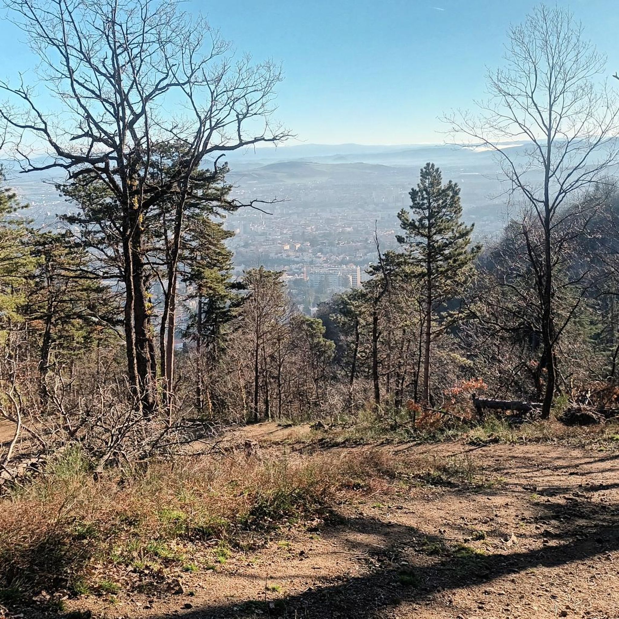
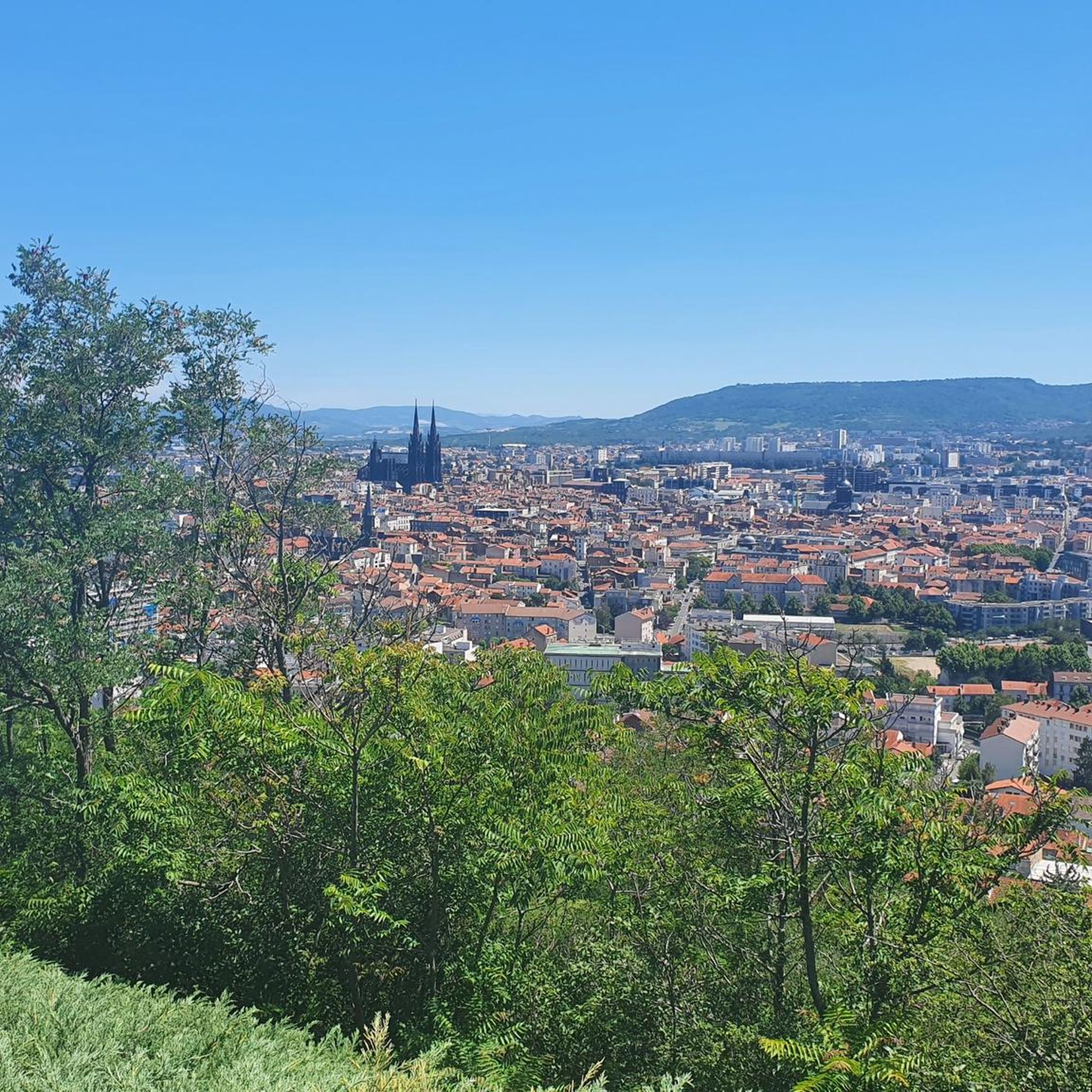
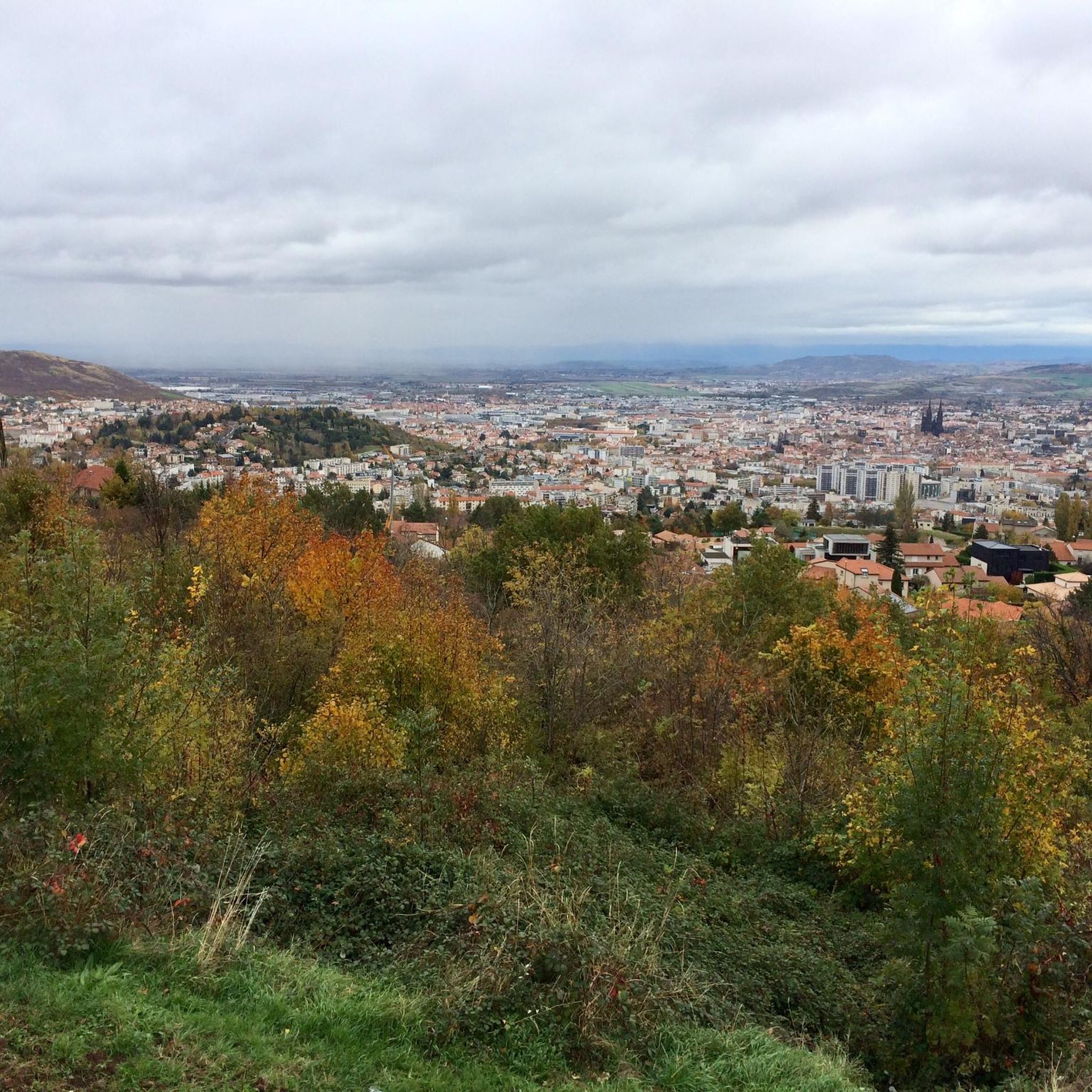
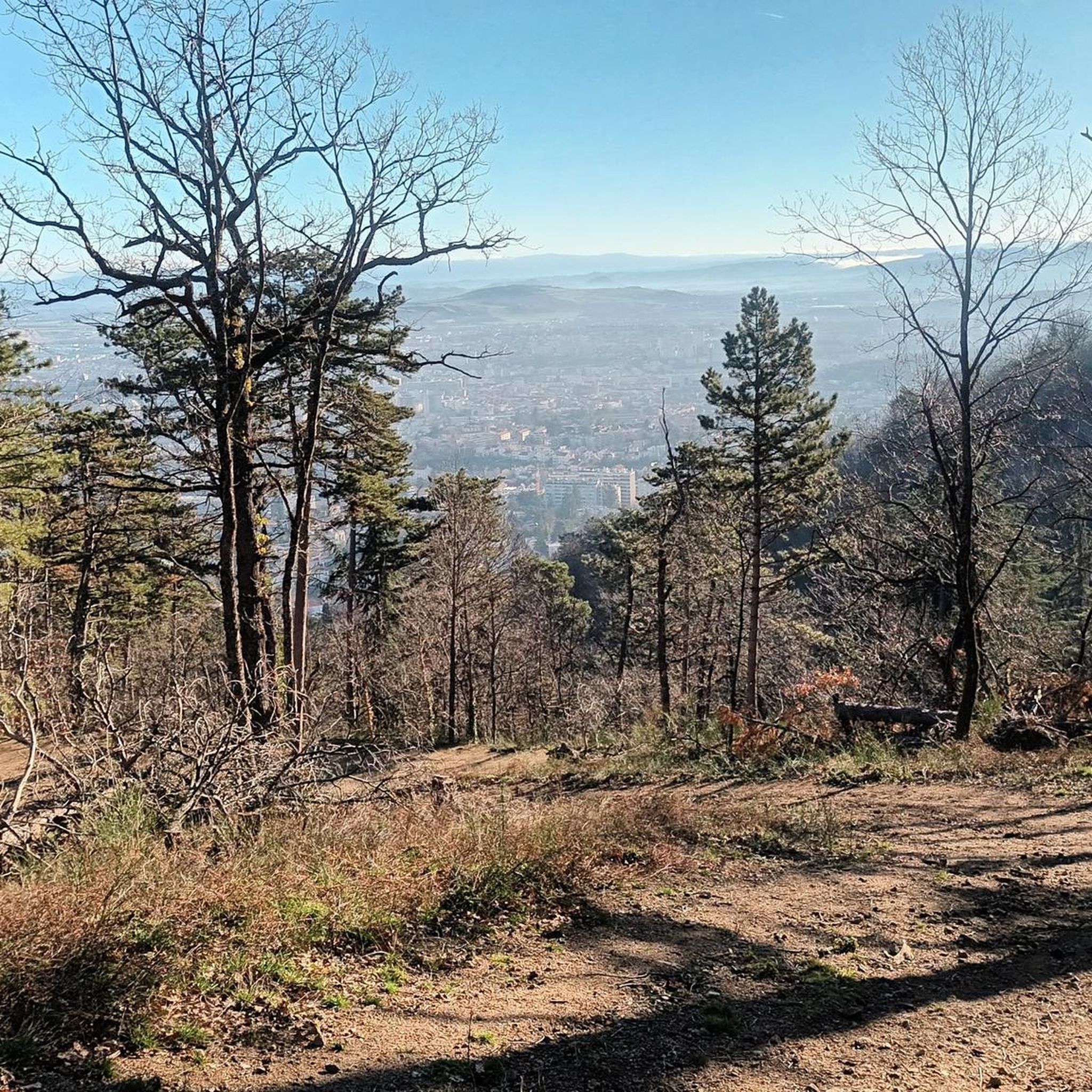
Tips from the Community

Misty on an August morning, as we climbed the Chemin des Chèvres, we were able to witness a flock of sheep, its shepherd, and his dogs passing by. A good reason to stop and catch your breath on this somewhat steep ascent!
0
0

Fountain closed for years
0
0

A beautiful hike combining open trails and forested terrain. The descent is quite steep, so it's best to wear sturdy walking shoes, otherwise you're sure to slip.
0
0

The equestrian statue of Vercingetorix was erected in 1903 on the Place de Jaude to commemorate the young Gallic leader's victory over Caesar in 52 BC. It is a work by Bartholdi, who also created the Lion of Belfort and the Statue of Liberty in New York.
0
0

Temple construction in the 2nd century on the summit of the Puy de Dôme. The Temple of Mercury, built on the summit of the Puy de Dôme, was one of the largest mountain sanctuaries in Roman Gaul. It could be seen from a great distance, including from the city of Augustonemetum, present-day Clermont-Ferrand. The Via Agrippa, a highway from Lyon, the capital of Gaul, to Saintes on the Atlantic, allowed travelers to reach the shrine via the pilgrimage center at the Col de Ceyssat.
0
0

There is something to that. Thanks for the correction.
0
0

The photo does not show the Vercingetorix statue but the monument of General Desaix. But both are on the Place de Jaude.
0
0
Frequently Asked Questions
How many hiking trails are there in Chamalières?
There are over 20 hiking trails around Chamalières, offering diverse options for all skill levels. You'll find a mix of easy strolls, moderate paths, and challenging treks through the region's unique landscapes.
What kind of terrain and difficulty can I expect on Chamalières' hiking trails?
Chamalières' hiking trails feature a varied terrain, from volcanic landscapes and deep gorges to accessible forest paths. You can find 9 easy routes, 11 moderate routes, and 3 difficult routes, ensuring options for every fitness level. For instance, the Dolmen de Samson – Artière Gorges loop from Royat - Chamalières is a challenging 23.4 km route, while the Gtva loop from Chamalières is an easier 4.9 km path.
What natural features or landmarks can I see while hiking near Chamalières?
Hiking near Chamalières offers access to exceptional natural features. You can explore the UNESCO World Heritage site of the Chaîne des Puys, with its numerous volcanoes like the famous Puy de Dôme. The Puy de Dôme Summit provides a unique 360-degree panorama. Other notable spots include the scenic Artière Gorges and the Forest of Colombier. Some trails also incorporate historical elements, such as beautifully paved Roman roads.
Which trails offer the best panoramic views of the region?
For breathtaking panoramic views, consider trails that ascend the volcanic peaks. The Royat – Puy de Dôme view loop from Chamalières offers excellent vistas towards the Puy de Dôme. The 'Chemin des Crêtes de Royat' also provides magnificent views of Chamalières, Clermont-Ferrand, and the surrounding volcanoes.
Are there many circular hiking routes around Chamalières?
Yes, Chamalières offers several circular hiking routes. Many of the trails are designed as loops, allowing you to start and end at the same point. Examples include the Hiking loop from Les Vignettes and the Gtva loop from Chamalières, providing convenient options for exploration.
Are there family-friendly hiking options in Chamalières?
Absolutely. Chamalières has several green spaces and accessible paths suitable for families. The Forest of Colombier, for example, offers a family-friendly loop with thematic panels explaining local flora and fauna. Many easy and moderate routes are available, perfect for a leisurely outing with children.
Can I bring my dog on the hiking trails near Chamalières?
Generally, dogs are welcome on many hiking trails in the Chamalières region, especially in natural areas and forests. However, it's always advisable to keep them on a leash, particularly in protected areas or near livestock, and to check specific trail regulations before you go.
What do other hikers say about the trails in Chamalières?
The trails around Chamalières are highly rated by the komoot community, with an average score of 4.6 stars from over 490 reviews. Hikers often praise the diverse landscapes, from volcanic formations to green spaces, and the variety of options available for different skill levels.
Is parking available at the trailheads in Chamalières?
Yes, parking is generally available at or near the starting points of many hiking trails in and around Chamalières. For popular areas like the Puy de Dôme, designated parking lots are provided. It's always a good idea to check specific route details for parking information before heading out.
How can I reach hiking trails near Chamalières using public transport?
Chamalières is well-connected to Clermont-Ferrand, and public transport options are available to reach various starting points. Local bus services can take you to areas close to trailheads. For routes leading to the Puy de Dôme, there are specific transport services available from nearby towns.
What is the best time of year to go hiking in Chamalières?
The best time to hike in Chamalières is typically from spring to autumn (April to October), when the weather is mild and the landscapes are vibrant. Summer offers warm conditions, while spring and autumn provide pleasant temperatures and beautiful foliage. Winter hiking is possible but may require appropriate gear, especially at higher elevations.
Most popular routes around Chamalières
Most popular attractions around Chamalières

Get inspired with the komoot mobile app


Explore more
Browse the best Hikes in other regions.
