The best mountain hikes around Feigères
5.0
(6)
52
hikers
8
hikes
Mountaineering routes around Feigères are centered on Mont Salève, a prominent mountain in the Haute-Savoie department. This area, part of the Pre-Alps, features distinct limestone strata and is cut by narrow, deep gorges. The terrain offers steep, eroded slopes and a protected natural environment, providing a diverse range of landscapes for mountain sports.
Best mountaineering routes around Feigères
- The most popular mountaineering route is Crossing the trou de la roche – La Coraterie Cliff loop from Collonges-sous-Salève, a 6.0…
Last updated: October 31, 2026
5.0
(4)
16
hikers
9.40km
04:29
740m
740m
Hard mountaineering route. Good fitness required. Sure-footedness, sturdy shoes and alpine experience required.
5.0
(1)
10
hikers
Hard mountaineering route. Good fitness required. Sure-footedness, sturdy shoes and alpine experience required.

6
hikers
7.02km
03:16
590m
590m
Moderate mountaineering route. Good fitness required. Mostly walkable paths. Sure-footedness required.
12
hikers
2.00km
00:59
190m
190m
Hard mountaineering route. Sure-footedness, sturdy shoes and alpine experience required.
5.0
(1)
8
hikers
Moderate mountaineering route. Good fitness required. Mostly walkable paths. Sure-footedness required.
Get access to more routes and recommendations from other explorers.
Already have an account?
Our route recommendations are based on thousands of hikes, rides, and runs completed by other people on komoot.
Start today with a free account
Your next adventure awaits.
Tips from the Community

And here is the story behind the flag on the spectacular La Corraterie mountain path: It is not! the Swiss flag but the coat of arms of Savoy (meaning no white cross, but the bars go to the edge). It all began in the late 1960s. American students from the nearby Adventist campus in Collonges-sous-Salève climbed the steep rock face after a boozy night. Since you have a direct view of Geneva from the mountain, they were firmly convinced they were in Switzerland. They painted a huge Swiss flag on the rocks. However, Mont Salève is geographically located in France (Haute-Savoie region). The local French found the Swiss flag on their mountain to be an affront. Local activists climbed up and painted over the Swiss cross, turning it into the Savoyard coat of arms (Cross of Savoy) to emphasize the French-Savoyard affiliation. To this day, unknown people (mostly from Geneva) regularly climb the wall at night to shorten the bars and turn the Savoyard coat of arms back into a Swiss flag.
0
0

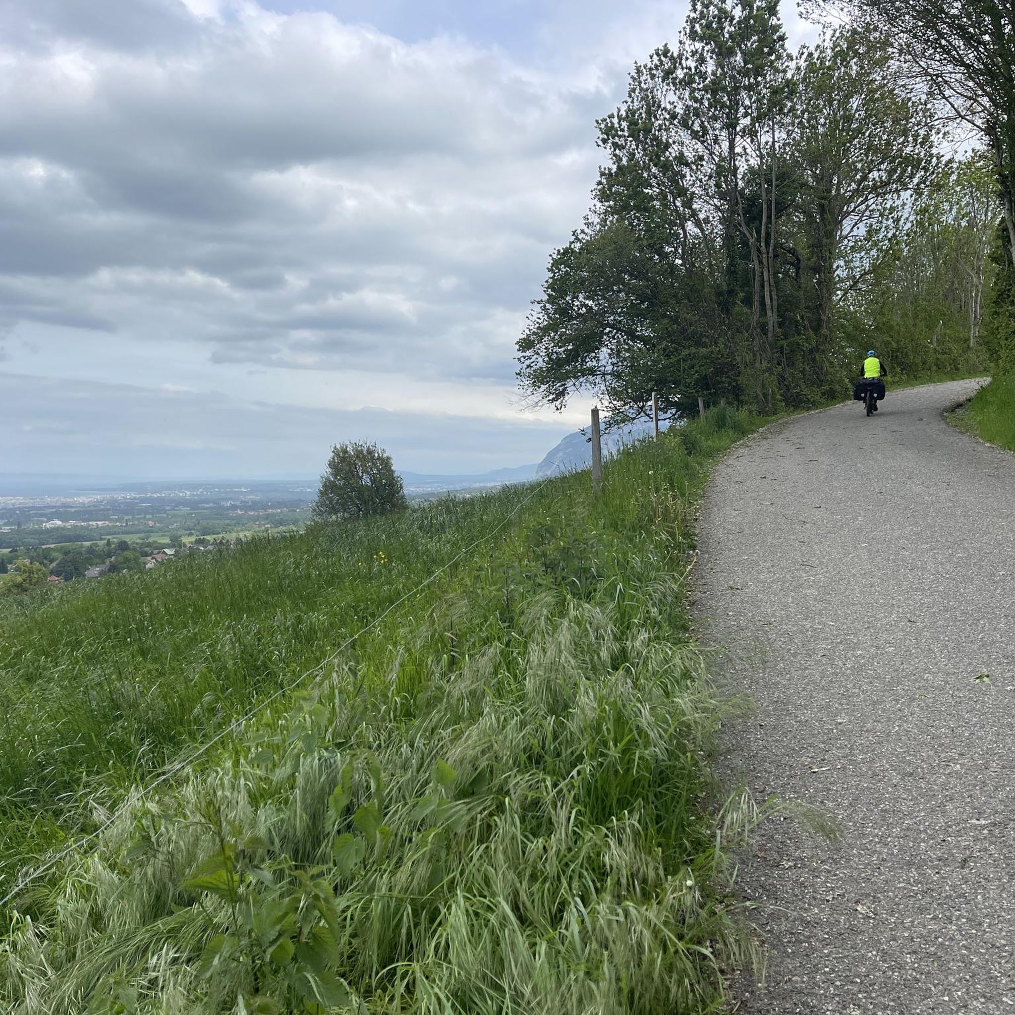
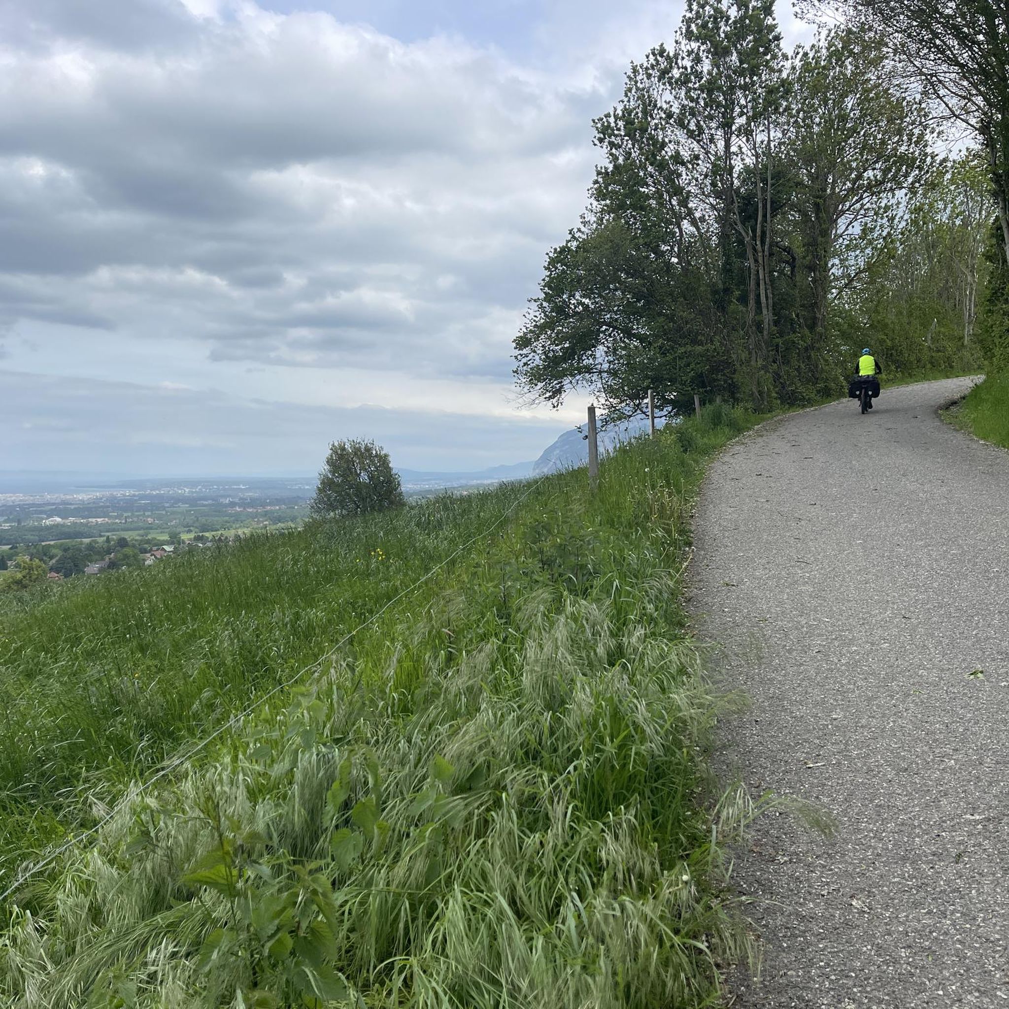
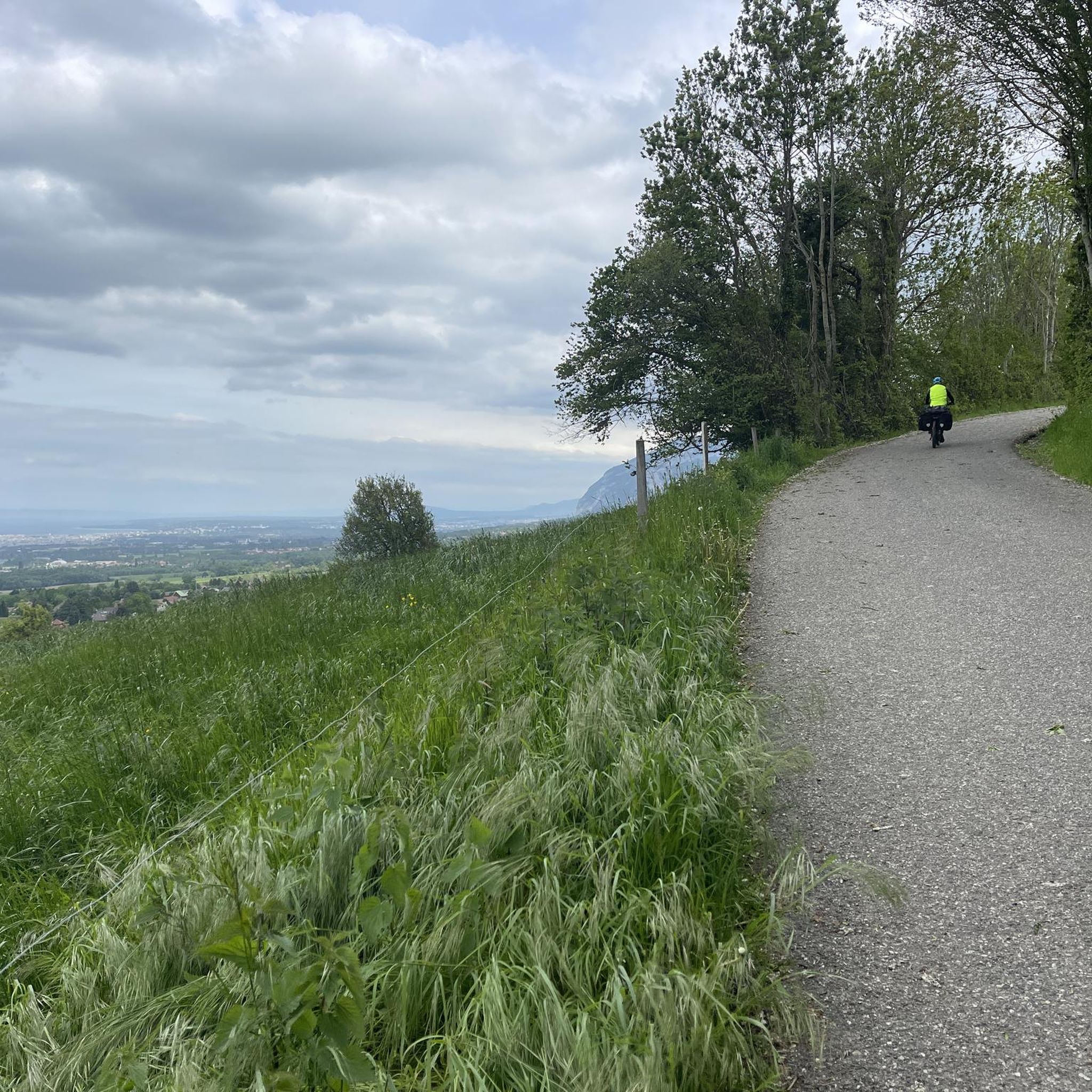
The section from La Muraz to Cruseille, passing through Le Sappey, and then the climb from Cruseille to La Croisette are really nice. Beautiful road, few cars and gentle slope!
0
0

Le Trou de la Tine (Trou of the Tine Cave) was formed by erosion on the flank of Mont Salève. It is a deep, sunken hole shaped like an open-topped barrel ("Tine" is an old dialect term for barrel, "trou" means hole). The cave's ceiling has collapsed due to erosion, revealing a natural "barrel" with a side opening. One can walk into the "barrel" through this side opening.
0
0


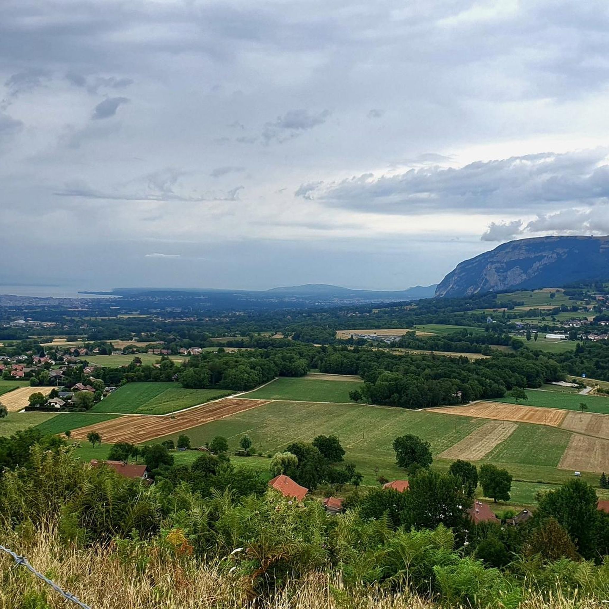
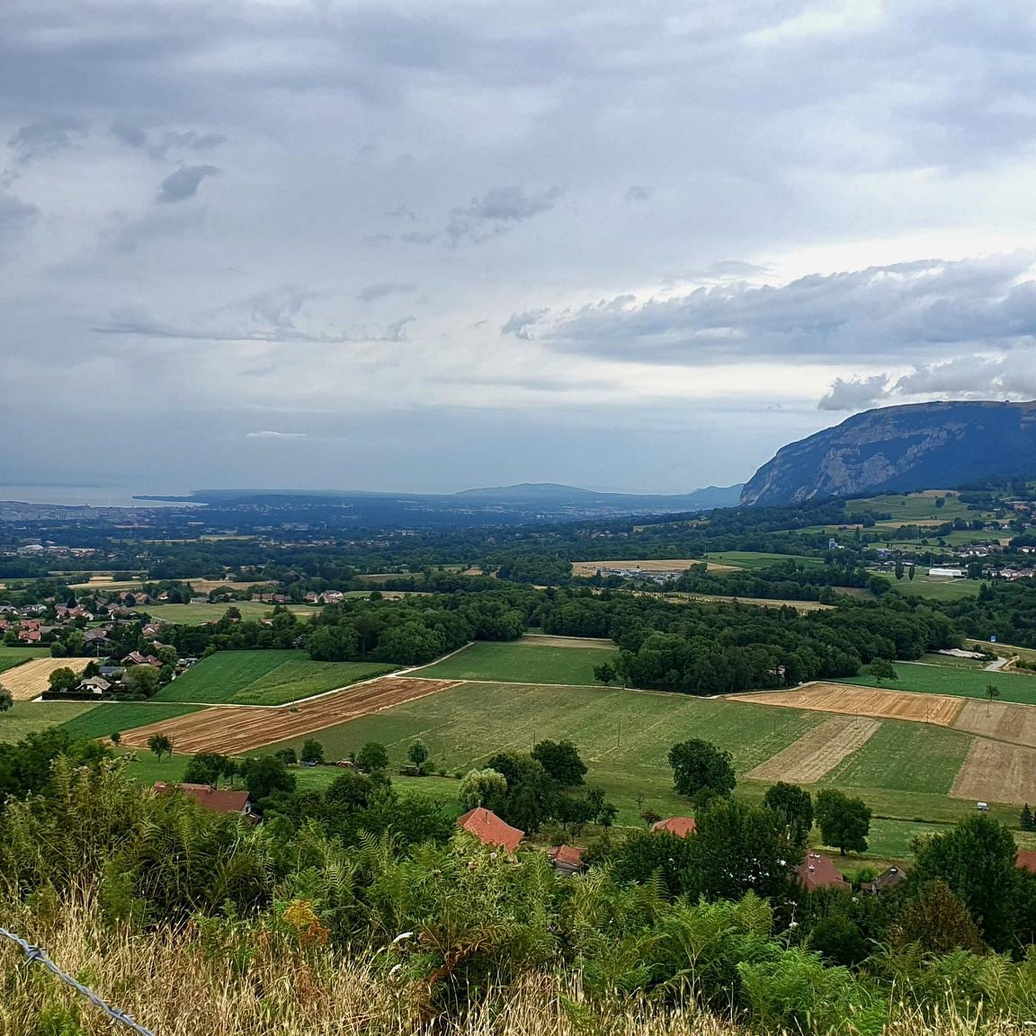
Col de Croissette. What a beautiful tour. A long climb with percentages up to 18% brings you to the plateau of the mountain. There with rolling roads and paths towards the west to enter the descent and via the North back to Geneva.
0
0

The climb via Collonges sous Salève is the hardest. With slopes averaging 10-11%. Easier on the La Muraz side. The climbs are well shaded. Good surface. Lots of cars on weekends.
1
0

Frequently Asked Questions
How many mountaineering routes are available around Feigères?
There are over 8 mountaineering routes around Feigères, primarily centered on Mont Salève. These routes offer a diverse range of experiences, from moderate paths to more challenging ascents.
What are the difficulty levels of mountaineering routes near Feigères?
The mountaineering routes around Feigères cater to various skill levels. You'll find 2 moderate routes and 6 difficult routes, ensuring options for both those seeking a steady climb and experienced mountaineers looking for a challenge.
Are there any easier mountaineering routes suitable for beginners?
While many routes are classified as difficult, there are moderate options available. For instance, the Crossing the trou de la roche loop from Collonges-sous-Salève is a moderate 3.3 km path that offers a good introduction to the area's terrain.
Can you recommend a challenging mountaineering route for experienced hikers?
For experienced mountaineers, the Crossing the trou de la roche – La Coraterie Cliff loop from Collonges-sous-Salève is a difficult 9.6 km trail that navigates through geological formations and provides extensive views from the cliff. Another challenging option is the Le Grand Piton loop from Beaumont, which takes you towards the highest point of Mont Salève.
Are there any circular mountaineering routes in the Feigères area?
Yes, many of the mountaineering routes around Feigères are circular. Examples include the difficult Crossing the trou de la roche – La Coraterie Cliff loop from Collonges-sous-Salève, the moderate Orjobet Cave – Croisette Pass loop from Collonges-sous-Salève, and the challenging Ferrata Pomiers loop from Chartreuse de Pomier.
What natural features or landmarks can I expect to see along the routes?
The routes are centered on Mont Salève, known for its distinct limestone strata and deep gorges. You can explore the Orjobet Cave, a natural cave with interesting geological formations. Many routes offer stunning viewpoints, including the View of Mont Blanc and Lake Annecy from Mont Salève, and the View from Signal de Bernex.
What is the best time of year for mountaineering in Feigères?
Mont Salève is a year-round destination for outdoor activities. While specific conditions vary, the region is suitable for mountaineering during most seasons, with spring and autumn offering pleasant temperatures and vibrant scenery. Winter can also be an option for those equipped for snow and ice, especially around the Croisette Pass.
Is parking available near the trailheads for mountaineering routes?
Yes, many of the routes around Feigères, particularly those starting from villages like Collonges-sous-Salève or Beaumont, have designated parking areas. It's advisable to check specific route details for the most convenient parking options.
Can I access mountaineering routes near Feigères using public transport?
Feigères and its surrounding areas are generally accessible, and some trailheads may be reachable via local public transport, especially from larger towns like Geneva. However, for direct access to specific mountain routes, driving is often the most convenient option. The Téléphérique du Salève also offers access to higher parts of the mountain.
What do other mountaineers say about the routes in Feigères?
The mountaineering routes in Feigères are highly rated by the komoot community, with an average score of 5.0 stars from over 6 reviews. Mountaineers often praise the varied terrain, the challenging ascents, and the rewarding views of the surrounding landscape, including Mont Blanc and Lake Annecy.
Are there any specific climbing opportunities on Mont Salève?
Mont Salève is indeed a recognized terrain for climbing, catering to those who enjoy mountain sports. While the guide focuses on mountaineering routes, the region research highlights that the mountain offers various climbing opportunities, including challenging elements on routes like the Ferrata Pomiers loop from Chartreuse de Pomier.
Where can I find refreshments or places to stay near the mountaineering trails?
Feigères and the villages surrounding Mont Salève offer various amenities. You can find cafes and pubs in local villages. For accommodation, options range from guesthouses to hotels in nearby towns, providing a comfortable base for exploring the mountaineering routes.
Most popular routes around Feigères
Most popular attractions around Feigères

Get inspired with the komoot mobile app


Explore more
Browse the best Mountain Hikes & Routes in other regions.
