The best walks and hikes around Feigères
4.6
(977)
9,770
hikers
508
hikes
Hiking around Feigères offers access to diverse terrain in the Haute-Savoie department, characterized by its proximity to Mount Salève. The region features limestone formations, deep gorges, and varied ecosystems including pasture and forestry areas. Trails often lead through the foothills of the Jura chain, providing a range of elevation changes. The area provides routes from gentle walks to more challenging ascents.
Best hiking trails around Feigères
- The most popular hiking route is Bois des Bis Wooden Footbridge – Aire River…
Last updated: August 15, 2026
4.0
(1)
49
hikers
Moderate hike. Good fitness required. Easily-accessible paths. Suitable for all skill levels.
5.0
(1)
9
hikers
5.37km
01:28
90m
90m
Easy hike. Great for any fitness level. Easily-accessible paths. Suitable for all skill levels.

Sign up for free
4.0
(1)
21
hikers
7.03km
02:01
180m
180m
Moderate hike. Good fitness required. Easily-accessible paths. Suitable for all skill levels.
15
hikers
Moderate hike. Good fitness required. Mostly accessible paths. Sure-footedness required.
10
hikers
Moderate hike. Good fitness required. Easily-accessible paths. Suitable for all skill levels.
Get access to more routes and recommendations from other explorers.
Sign up for free
Already have an account?
Our route recommendations are based on thousands of hikes, rides, and runs completed by other people on komoot.
Start today with a free account
Your next adventure awaits.
Login or Signup

Tips from the Community


Each of these crosses, which the hiker often encounters in the fields or, as here, on the tops of the mountains, is a sign of remembrance of the crucifixion and resurrection of Jesus Christ. "Here on earth there is His memory, but in the Kingdom of Heaven there is His presence: this presence is the joy of those who have already attained salvation. The memory is our consolation, as we are still wanderers, travelling towards our homeland." (Bernard of Clairvaux)
2
0

If you want to go to Mount Sion from Geneva to go to the Salève, I advise you to go through the Col de la Croix de Biche. It allows you to avoid the Annecy D1201 road, where traffic is dense and fast. Here, the road is much more peaceful.
1
0

Pretty and sturdy covered bridge over the L'Aire river. It is made of wood and is accessible to everyone. You may come across bikers on the path so be careful. Near the footbridge you will also see signs with directions for various hikes.
0
0

Nice route following the Aire.
0
0

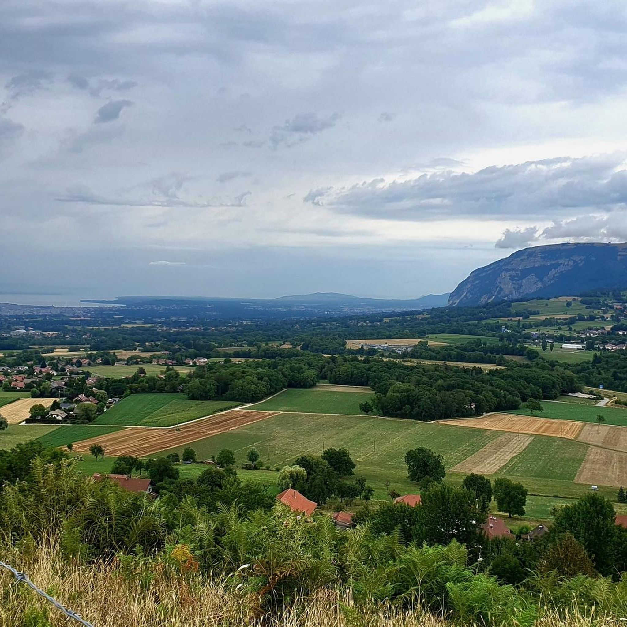
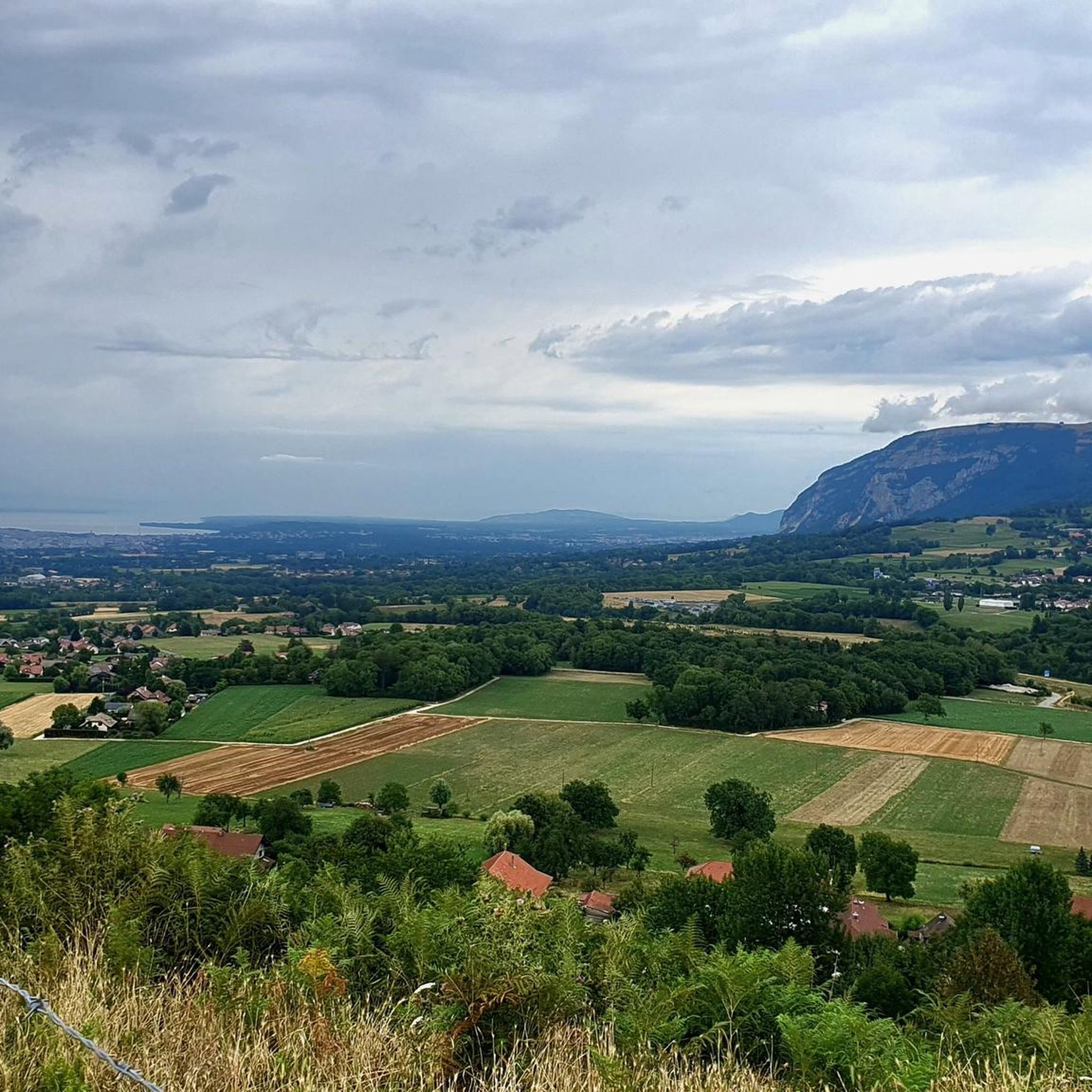
beautiful point of view. there is a low-flow fountain
0
0
Frequently Asked Questions
How many hiking trails are available around Feigères?
Feigères offers a wide variety of hiking experiences, with over 495 routes recorded on komoot. These trails cater to all levels, from leisurely strolls to more demanding mountain ascents.
What kind of terrain can I expect when hiking near Feigères?
The terrain around Feigères is highly diverse, largely influenced by its proximity to Mount Salève. You'll encounter limestone formations, deep gorges, and varied ecosystems including both pasture and forestry areas. Trails often lead through the foothills of the Jura chain, offering a range of elevation changes and scenic landscapes.
Are there easy hiking options for beginners in Feigères?
Yes, Feigères has plenty of easy hiking options, with over 250 routes classified as easy. An excellent choice for a gentle introduction is the Col de la Croix Biche – Croix de Vin loop from Andilly, an easy 5.2 km path that provides access to the scenic Croisette Pass area.
Are there challenging hikes for experienced hikers near Feigères?
Absolutely. For experienced hikers seeking a challenge, there are 40 difficult routes available. The region's proximity to Mount Salève means you can find demanding ascents, including sections of the 'Balcony Trail' which offer expansive views but require good physical condition.
Are there family-friendly hiking trails in Feigères?
Yes, many trails are suitable for families. The shorter 4 km version of the Circuit de Malchamp is described as an easy, family-friendly walk through the Bois Blanc. Generally, routes with lower elevation gain and shorter distances are ideal for families, and Feigères offers many such options.
Can I bring my dog on the hiking trails around Feigères?
While specific regulations can vary by trail, many hiking paths in the Feigères region are dog-friendly. It's generally recommended to keep dogs on a leash, especially in areas with livestock or protected wildlife, and to always clean up after your pet. Always check local signage for any specific restrictions.
Are there any circular hiking routes available?
Yes, the Feigères area is rich in circular hiking routes, perfect for exploring the local territory. Many of the routes listed on komoot are loops, such as the Bois des Bis Wooden Footbridge – Aire River Path loop from Saint-Julien-en-Genevois, which follows the Aire River for 9.2 km. Local circuits like the Circuit de la Salette and Circuit de Malchamp also offer excellent circular options.
What natural landmarks or attractions can I see while hiking near Feigères?
The region boasts several notable natural attractions. You can explore the unique geological formations of the Orjobet Cave, or visit the tranquil Étang du Bois des Mouilles. The Croisette Pass on Mount Salève is also a significant natural feature and a hub for outdoor activities.
Are there trails that offer panoramic views?
Absolutely. Hiking in the Feigères area, especially on Mount Salève, frequently provides magnificent panoramic views. From various vantage points, you can often see vistas of Lake Léman and the majestic Mont Blanc massif, earning Mount Salève its nickname, the 'Balcony of Geneva'.
What do other hikers say about the trails in Feigères?
The hiking trails around Feigères are highly regarded by the komoot community, with an impressive average rating of 4.5 stars from over 870 reviews. More than 9,000 hikers have used komoot to explore this varied terrain, often praising the diverse scenery and well-maintained paths.
What is the best time of year to go hiking in Feigères?
The best time for hiking in Feigères generally spans from spring through autumn, when the weather is mild and trails are clear. While some areas on Mount Salève are used for cross-country skiing in winter, many lower-altitude trails remain accessible. Always check local conditions before heading out, especially for higher elevations.
Are there any trails that follow rivers or lakes?
Yes, you can find trails that incorporate water features. For instance, the Bois des Bis Wooden Footbridge – Aire River Path loop from Saint-Julien-en-Genevois follows the Aire River, offering varied scenery along the water. Additionally, the Étang du Bois des Mouilles is a beautiful lake that can be incorporated into your hike.
Most popular routes around Feigères
Most popular attractions around Feigères

Get inspired with the komoot mobile app


Explore more
Browse the best Hikes in other regions.
