The best walks and hikes around Mowbray Mountain
24
hikers
7
hikes
Hiking around Mowbray Mountain offers diverse landscapes and varied terrain north of Chattanooga, Tennessee. The region is characterized by sandstone formations, woodlands, and numerous creeks. It provides access to sections of the expansive Cumberland Trail, featuring both challenging and more leisurely routes. Elevation changes are present, with some trails including significant ascents.
Best hiking trails around Mowbray Mountain
- The most popular hiking route is Cumberland Trail: North Chickamauga Creek Section, a difficult 3.3 miles (5.4 km) trail that takes…
Last updated: May 12, 2026
2
hikers
5.36km
02:11
250m
70m
Hike the difficult 3.3-mile Cumberland Trail: North Chickamauga Creek Section, featuring rugged terrain and stunning gorge views.
1.57km
00:25
20m
0m
The Jim Adams' Trail offers an easy hiking experience, perfect for a quick outdoor escape. You will follow an old railroad bed, making the path mostly flat, wide, and covered…

Sign up for free
1
hikers
22.0km
06:47
750m
750m
Hike the difficult 13.7-mile Cumberland Trail: North Chickamauga Creek Segment, featuring rugged terrain, waterfalls, and scenic gorge overl
1
hikers
27.8km
08:21
850m
850m
Embark on a difficult hike through the Cumberland Trail: Possum Creek Gorge, a challenging 17.3-mile (27.8 km) route that demands 8 hours and 20 minutes to complete. You will navigate…
8
hikers
6.88km
02:36
170m
170m
Hard hike. Good fitness required. Sure-footedness, sturdy shoes and alpine experience required.
Get access to more routes and recommendations from other explorers.
Sign up for free
Already have an account?
Our route recommendations are based on thousands of hikes, rides, and runs completed by other people on komoot.
Start today with a free account
Your next adventure awaits.
Login or Signup
Popular around Mowbray Mountain
Other adventures around Mowbray Mountain

Tips from the Community

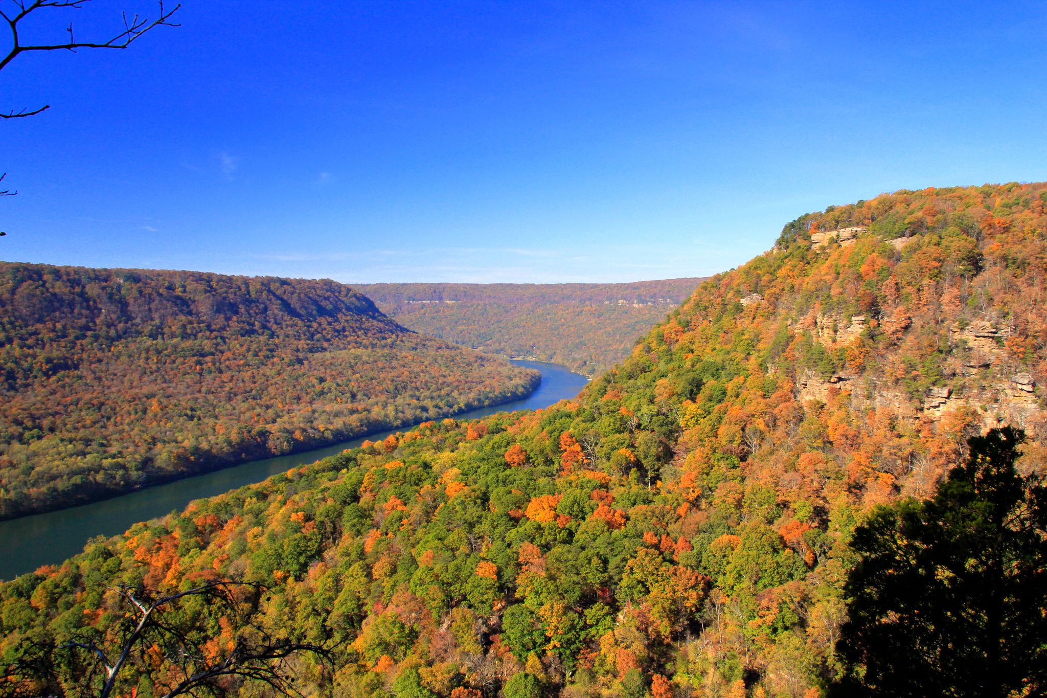
North Chickamauga Creek carves a beautiful gorge through forested hills. From this viewpoint, the valley opens up below, offering a quiet, sweeping look into the heart of the landscape.
1
0
A series of cascades forms as Hogskin Branch flows down into North Chickamauga Creek. It’s a magical place to pause and appreciate the sound of the water and the surrounding views.
1
0

The Possum Creek Trail is a fun, singletrack trail within the Possum Creek Resource Management Area. The path is also a shared part of the Cumberland Trail and can become quite popular depending on the time of year. The trail is pretty rooty and rocky and offers a real wilderness experience.
0
0

The trail follows a series of wooden staircases along the side of the gorge.
0
0
An informational kiosk and parking for about two dozen cars are available at the trailhead.
0
0
The Cumberland Trail North Chickamauga Creek Segment meets the connection to the Barker Camp Road Trailhead here. This can be used as a turn-around point for an out-and-back hike, or as an opportunity to shuttle cars if only hiking in one direction.
0
0
The Stevenson Branch descends toward North Chickamauga Creek in a series of terraced waterfalls.
0
0
Look to the south for a view of the creek and gorge below.
0
0
Frequently Asked Questions
What kind of terrain can I expect on Mowbray Mountain hiking trails?
Mowbray Mountain offers diverse terrain, characterized by sandstone formations, woodlands, and numerous creeks. You'll find a mix of paths, from rugged sections along the Cumberland Trail to more gentle woodland strolls. Some routes include significant elevation changes, providing a good workout and rewarding views.
Are there any easy hiking trails suitable for beginners or quick outings?
Yes, for an easier option, consider Jim Adams' Trail. It's an easy 1.0-mile (1.6 km) path, perfect for a quick outing through the local woodlands without significant elevation gain.
Can I find trails with waterfalls or water features on Mowbray Mountain?
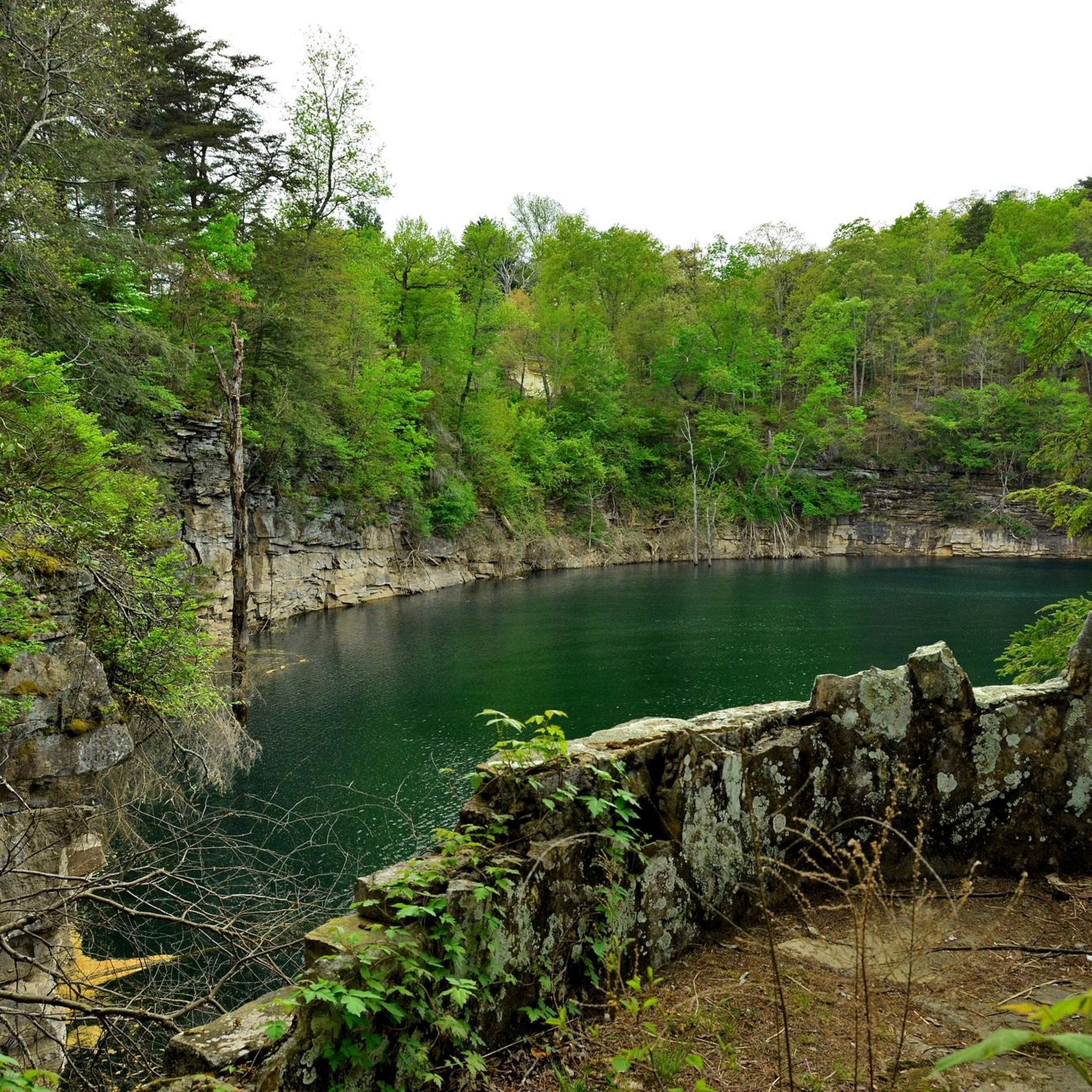
Absolutely. The area is known for its refreshing water features. You can discover small waterfalls and 'blue holes' along the North Chickamauga Creek. The Hogskin Branch Waterfall loop is a great option that specifically features a waterfall.
What are the best times of year to hike Mowbray Mountain?
Mowbray Mountain is beautiful year-round, but spring and fall are particularly popular. Spring brings abundant wildflowers and ferns, while fall offers vibrant foliage, making scenic drives and hikes especially picturesque. Summers can be warm, but the creeks provide a refreshing escape. Winter hiking is also possible, though conditions may vary.
Are there any long-distance or challenging hikes available?
Yes, Mowbray Mountain provides access to sections of the expansive Cumberland Trail, offering extensive hiking possibilities. For a challenging, longer route, the Cumberland Trail: North Chickamauga Creek Segment spans 13.7 miles (22.0 km) and leads through diverse landscapes. Another demanding option is the Cumberland Trail: Possum Creek Gorge, which is nearly 28 km long.
Are the trails on Mowbray Mountain suitable for families with children?
Many trails on Mowbray Mountain are suitable for families, especially the shorter, less strenuous paths. While specific 'family-friendly' designations vary, routes like Jim Adams' Trail offer an easy, manageable distance for younger hikers. Always check the route details for distance and elevation to ensure it matches your family's ability.
What kind of views or landmarks can I expect to see while hiking?
Mowbray Mountain offers breathtaking vistas, especially from higher elevations and power line crossings. The area is also known for its world-class sandstone formations, making it a popular spot for bouldering and rock climbing. You might also encounter old mine sites and diverse flora, including running cedar and dwarf crested iris.
Is Mowbray Mountain a good place for birdwatching or spotting wildlife?
Yes, the mountain's diverse habitats, including woodlands and creek areas, provide excellent opportunities for birdwatching and observing local wildlife in their natural settings. Keep an eye out for various bird species and other forest creatures as you explore the trails.
Are there any circular hiking routes on Mowbray Mountain?
Yes, for those who prefer loop trails, the Hogskin Branch Waterfall loop from Cumberland Trail - Montlake Road is a great option. This difficult 6.9 km route offers a rewarding circular experience, including a waterfall.
Where can I park when visiting Mowbray Mountain for hiking?
While specific parking locations for all trailheads are not detailed here, Mowbray Mountain has various access points. The Mowbray Mtn Trailhead and North Chickamauga Creek Gorge Trailhead are known starting points for hikes, and typically offer parking facilities. It's advisable to check specific route descriptions for detailed parking information.
Are there any permits or fees required to hike on Mowbray Mountain?
Generally, permits are not required for hiking on Mowbray Mountain's public trails. However, if you plan to access areas that are part of specific land trusts or private properties, it's always best to check their individual regulations. For general hiking on the Cumberland Trail sections, permits are typically not needed.
What is the rock climbing scene like on Mowbray Mountain?
Mowbray Mountain is renowned for its world-class sandstone, making it a significant destination for rock climbing and bouldering. Stone Fort, also known as 'Little Rock City,' is a nationally recognized bouldering area with over 700 established problems. Leda is another popular roadside crag offering both sport and traditional climbing routes.
Are there any cafes or places to eat near Mowbray Mountain after a hike?
While Mowbray Mountain itself is a natural area, the nearby town of Soddy Daisy, just a short drive away, offers various options for cafes, pubs, and restaurants where you can refuel after your hike.
Most popular routes around Mowbray Mountain

Get inspired with the komoot mobile app


Explore more
Browse the best Hikes in other regions.
