The best gravel rides around Santa Clarita
46
riders
6
rides
Gravel biking around Santa Clarita offers a network of routes through arid landscapes, rolling hills, and open spaces. The region features diverse terrain, including canyon trails, open space paths, and riverbed routes, providing varied surfaces for gravel cyclists. These routes often traverse natural preserves and parklands. Elevation changes range from moderate to significant, accommodating different skill levels.
Best gravel bike trails around Santa Clarita
- The most popular gravel bike trail is LA City Open Space loop from Hansen Dam Recreation…
Last updated: October 7, 2026
12
riders
39.7km
03:13
930m
930m
Hard gravel ride. Very good fitness required. Mostly paved surfaces. Suitable for all skill levels.
7
riders
16.6km
01:31
300m
300m
Moderate gravel ride. Good fitness required. Mostly paved surfaces. Suitable for all skill levels.

5
riders
58.6km
04:21
750m
750m
Hard gravel ride. Very good fitness required. Mostly paved surfaces. Suitable for all skill levels.
8
riders
Hard gravel ride. Very good fitness required. Mostly paved surfaces. Suitable for all skill levels.
3
riders
55.8km
04:02
1,190m
1,190m
Hard gravel ride. Very good fitness required. Mostly paved surfaces. Suitable for all skill levels.
Our route recommendations are based on thousands of hikes, rides, and runs completed by other people on komoot.
Start today with a free account
Your next adventure awaits.
Tips from the Community

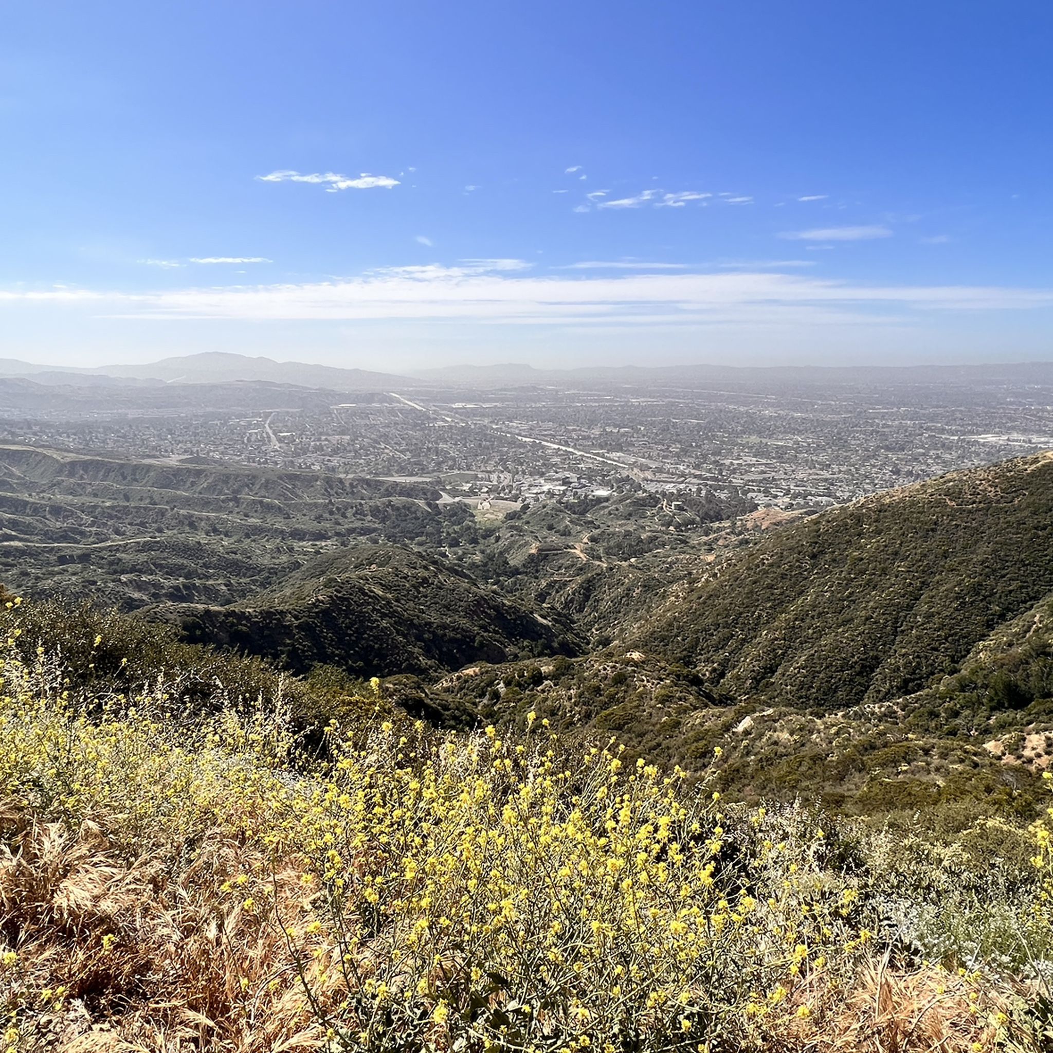
The Mountains Recreation and Conservation Authority (MRCA) Open Space includes a network of dirt roads through Elsmere and Whitney Canyons. There roads are also great sunny biking trails, from which you get great views of the mountains of Angeles National Forest.
0
0

At about 84 miles long, the Santa Clara River is the largest natural river system in southern California remaining in a relatively undeveloped state. Along its length there is the 8 mile long Santa Clara River Trail, which is a paved bicycle and walking path in the city of Santa Clarita.
0
0

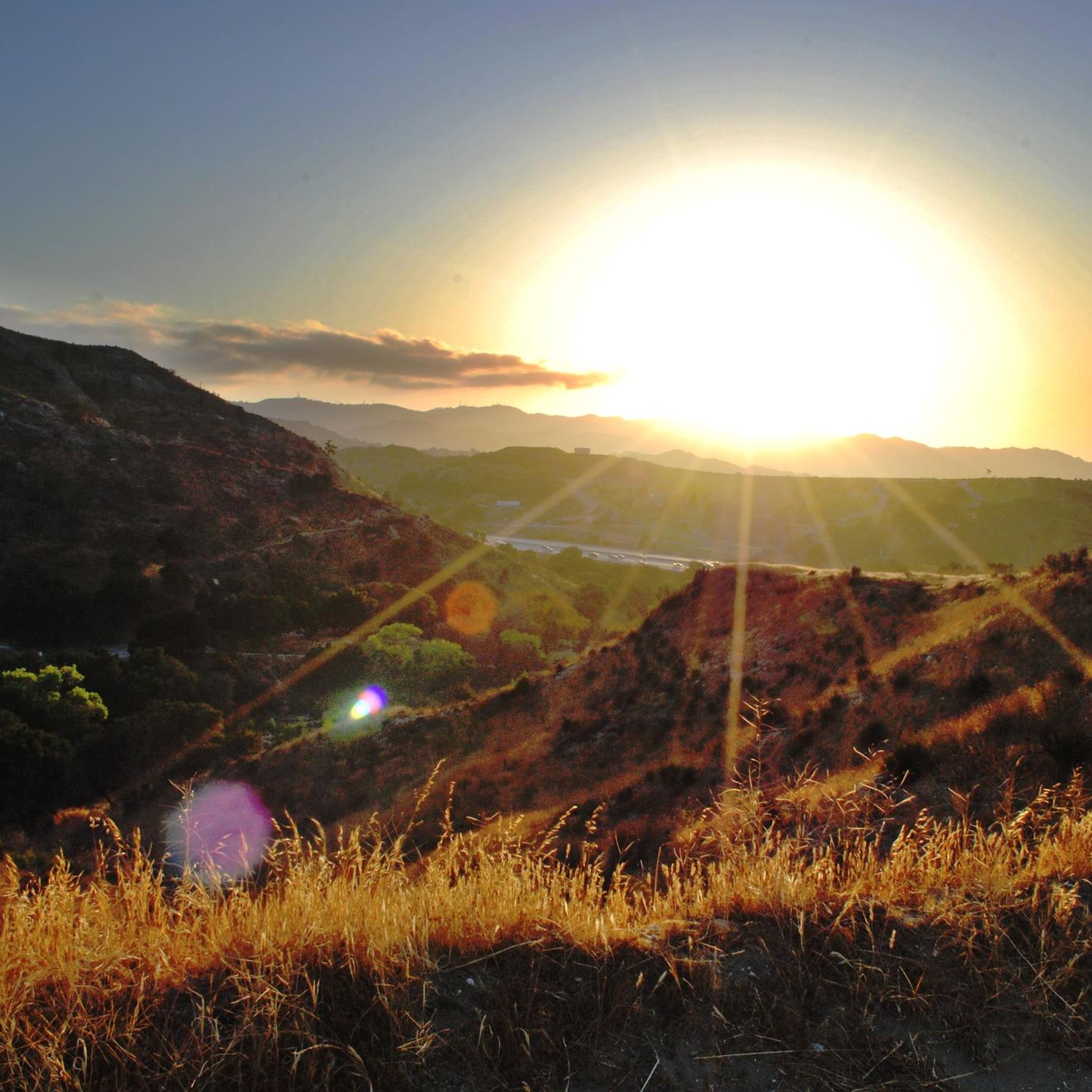
Whitney Canyon Park spans 442 acres, offering hiking, biking, and horseback riding trails through oak woodlands and along creeks and small waterfalls. The trails provide awesome views year-round, while the cooler months are especially enjoyable. Lots of parking is available for the public.
0
0

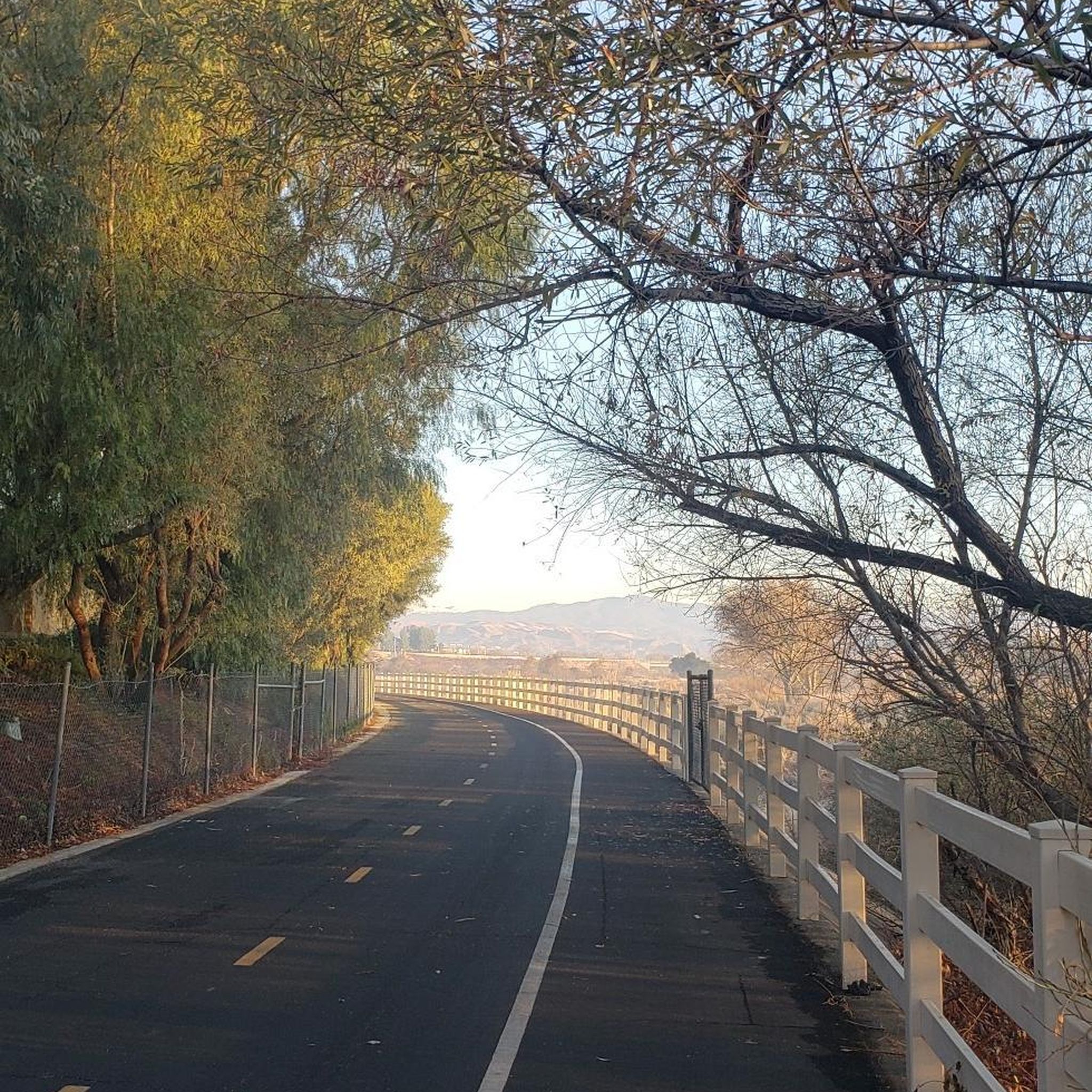
Excellent paved dedicated bike trail along the north bank of the Santa Clara River, It currently stretches from Discovery Park in the west of Santa Clarita to Lost Canyon road a mile east from here, where it connects to rural or residential roads.
0
0
Pleasant long trail along the northern river bank, shared with a parallel paved bike trail.
1
0

The Santa Clara Trail is a really popular path for running, biking, and hiking. It's seen some recent trail maintenance, so a lot of the areas that were facing some erosion problems have been tended to. The trail is basically all uphill one direction and all downhill the other, so it's a great trail if you're ready to get in a workout.
0
0
At about 84 miles long, the Santa Clara River is the largest natural river system in southern California remaining in a relatively undeveloped state. Along its length there is the 8 mile long Santa Clara River Trail, which is a paved bicycle and walking path in the city of Santa Clarita.
0
0

Immerse yourself in a vibrant display of wildflowers blooming across the landscape in the spring. Embark on the popular Oak Springs Trail for a scenic hike. Depending on the season, you might be rewarded with a breathtaking waterfall and refreshing pool. Explore the trail further on foot, leaving your bike at the trailhead.
0
0
Frequently Asked Questions
How many gravel bike trails are available in Santa Clarita?
Santa Clarita offers a network of 7 gravel bike trails, catering to various skill levels. The region is known for its diverse terrain, providing a good range of options for gravel cyclists.
What is the general difficulty level of gravel biking in Santa Clarita?
The gravel biking trails in Santa Clarita primarily feature moderate to difficult terrain. You'll find 2 moderate routes and 5 difficult routes, often including challenging climbs and descents through open spaces and canyon trails.
What kind of terrain can I expect on Santa Clarita's gravel bike trails?
You can expect a mix of arid landscapes, rolling hills, and open spaces. Trails often traverse canyon paths and routes alongside dry riverbeds, offering varied surfaces suitable for gravel bikes. The region's unique flora and fauna are also a common sight.
When is the best time of year to go gravel biking in Santa Clarita?
Santa Clarita generally experiences a Mediterranean climate with hot, dry summers and mild winters. The most comfortable times for gravel biking are typically spring (March to May) and fall (September to November) when temperatures are milder. Winter can also be pleasant, but always check local weather conditions.
Are there any loop trails for gravel biking in Santa Clarita?
Yes, many of Santa Clarita's gravel bike routes are designed as loops. For example, the Iron Horse Bridge – San Francisquito Creek Trail loop from Saugus offers a challenging 30-mile ride, providing a comprehensive experience of the local landscape.
What natural landmarks or attractions can I see along gravel bike routes in Santa Clarita?
Many routes offer access to notable natural features. You might encounter the unique geological formations of Vasquez Rocks or ride alongside the Santa Clara River. The area also features various peaks and viewpoints, such as Los Pinetos Peak.
Are there any historical points of interest accessible from Santa Clarita's gravel trails?
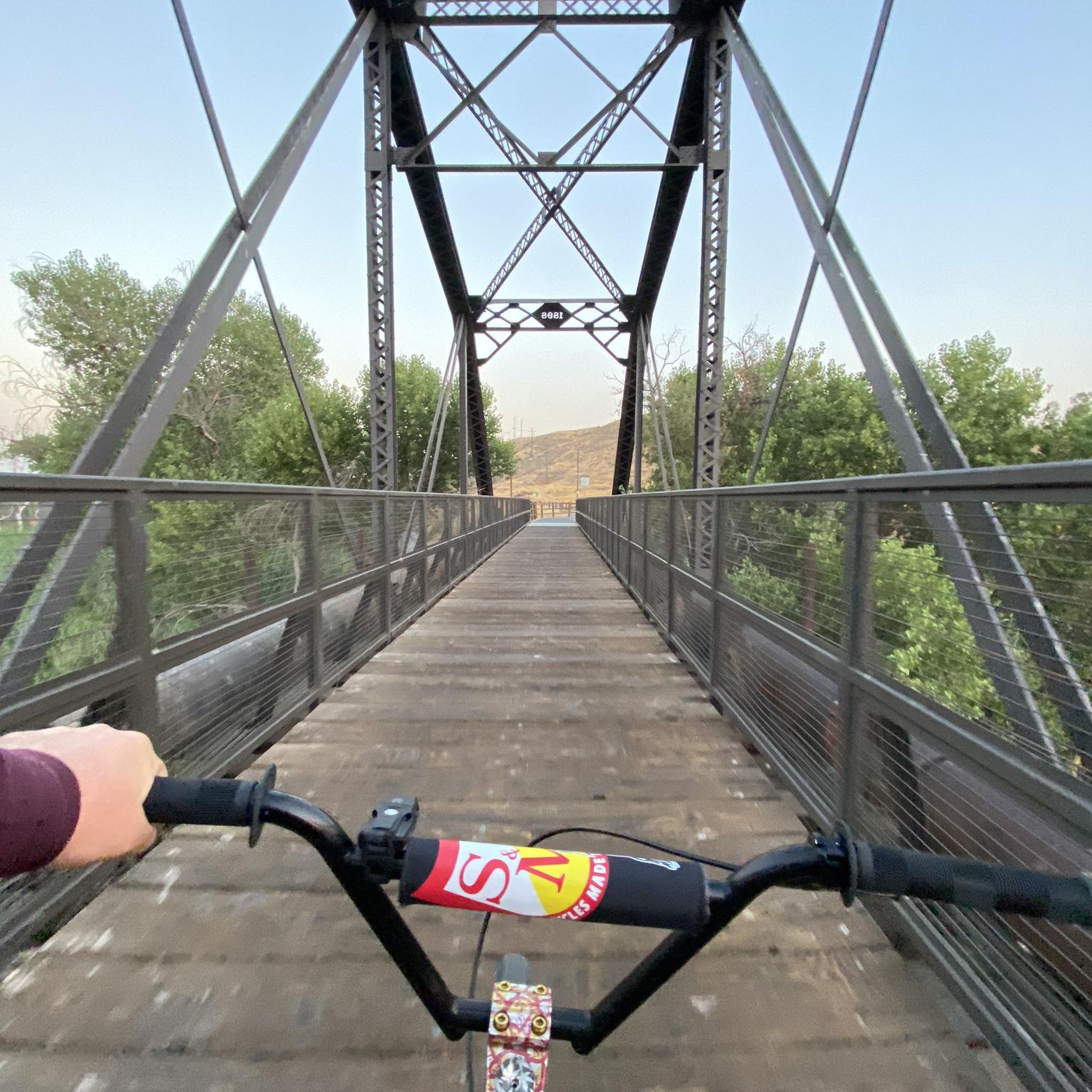
Yes, you can find historical points of interest. The Iron Horse Bridge, a significant local landmark, is accessible via some routes, offering a glimpse into the region's past.
What do other gravel bikers say about the trails in Santa Clarita?
The gravel biking experience in Santa Clarita is highly regarded by the komoot community, with an average rating of 5.0 stars from 2 reviews. Over 40 gravel bikers have explored these routes, often praising the varied terrain and challenging climbs.
Are there any longer, challenging gravel bike routes for experienced riders?
Experienced riders looking for a challenge will find several options. The San Francisquito Motorway loop from Plum Canyon is a demanding 28.7-mile route with significant elevation gain, perfect for those seeking a longer, strenuous ride.
Are there family-friendly gravel bike trails in Santa Clarita?
While many routes in Santa Clarita are rated moderate to difficult, some sections or shorter trails might be suitable for families with older, more experienced children. It's always best to check the specific route details and elevation profiles before heading out with family.
Where can I find parking for gravel bike trails in Santa Clarita?
Many gravel bike trails in Santa Clarita originate from or pass through areas with designated parking. For instance, routes like the LA City Open Space loop often start near recreation areas that provide parking facilities. Always check the tour details for specific starting points and parking information.
Are there gravel bike trails near cafes or places to refuel in Santa Clarita?
While many gravel routes in Santa Clarita traverse natural open spaces, the region's trails are often accessible from towns and communities where you can find cafes and shops to refuel. Planning your route to pass through or start near areas like Newhall or Castaic can provide convenient access to amenities.
Most popular routes around Santa Clarita
Most popular attractions around Santa Clarita

Get inspired with the komoot mobile app


Explore more
Browse the best Gravel rides in other regions.
