The best road cycling routes around Santa Clarita
4.8
(75)
2,406
riders
81
rides
Road cycling around Santa Clarita offers an extensive network of trails and paseos, providing diverse landscapes for cyclists. The region features numerous canyons, including San Francisquito and Placerita, alongside river trails such as the Santa Clara River and San Francisquito Creek. Cyclists can experience routes with significant elevation changes, offering views towards the western San Gabriel Mountains and through oak woodlands. This varied terrain caters to a range of cycling preferences and skill levels.
Best road cycling routes around Santa Clarita
- The most popular road cycling route is Santa Clara River and San Francisquito Creek Trail Loop, a 25.9 miles (41.7 km) trail that takes 2 hours 6 minutes to complete. This moderate route combines two major paved trails, offering diverse scenery along the banks of the Santa Clara River and San Francisquito Creek.
- Another top favourite among local road cyclists is Soledad Canyon Loop, a difficult 53.6 miles (86.3 km) path. This route features significant elevation gain through challenging canyon terrain.
- Local road cyclists also love the San Francisquito Canyon Loop, a 51.8 miles (83.5 km) trail leading through San Francisquito Canyon with substantial elevation changes, often completed in about 3 hours 59 minutes.
- Road cycling around Santa Clarita is defined by its canyon roads, river trails, and views of the San Gabriel Mountains. The network offers options for different ability levels, from paved creek trails to challenging climbs.
- The routes in Santa Clarita are highly rated by the komoot community with an average score of 4.5 stars from more than 30 reviews. More than 1700 road cyclists have used komoot to explore Santa Clarita's varied terrain.
Last updated: September 27, 2026
5.0
(14)
198
riders
41.7km
02:06
210m
210m
Moderate road ride. Good fitness required. Mostly well-paved surfaces and easy to ride.
66
riders
86.3km
04:19
1,110m
1,110m
Hard road ride. Very good fitness required. Mostly well-paved surfaces and easy to ride.

34
riders
83.5km
04:00
970m
970m
Hard road ride. Very good fitness required. Mostly well-paved surfaces and easy to ride.
23
riders
77.3km
04:26
1,530m
1,530m
Hard road ride. Very good fitness required. Mostly well-paved surfaces and easy to ride.
13
riders
96.7km
04:47
1,350m
1,350m
Hard road ride. Very good fitness required. Some segments of this route may be unpaved and difficult to ride.
Get access to more routes and recommendations from other explorers.
Already have an account?
Our route recommendations are based on thousands of hikes, rides, and runs completed by other people on komoot.
Start today with a free account
Your next adventure awaits.

Tips from the Community

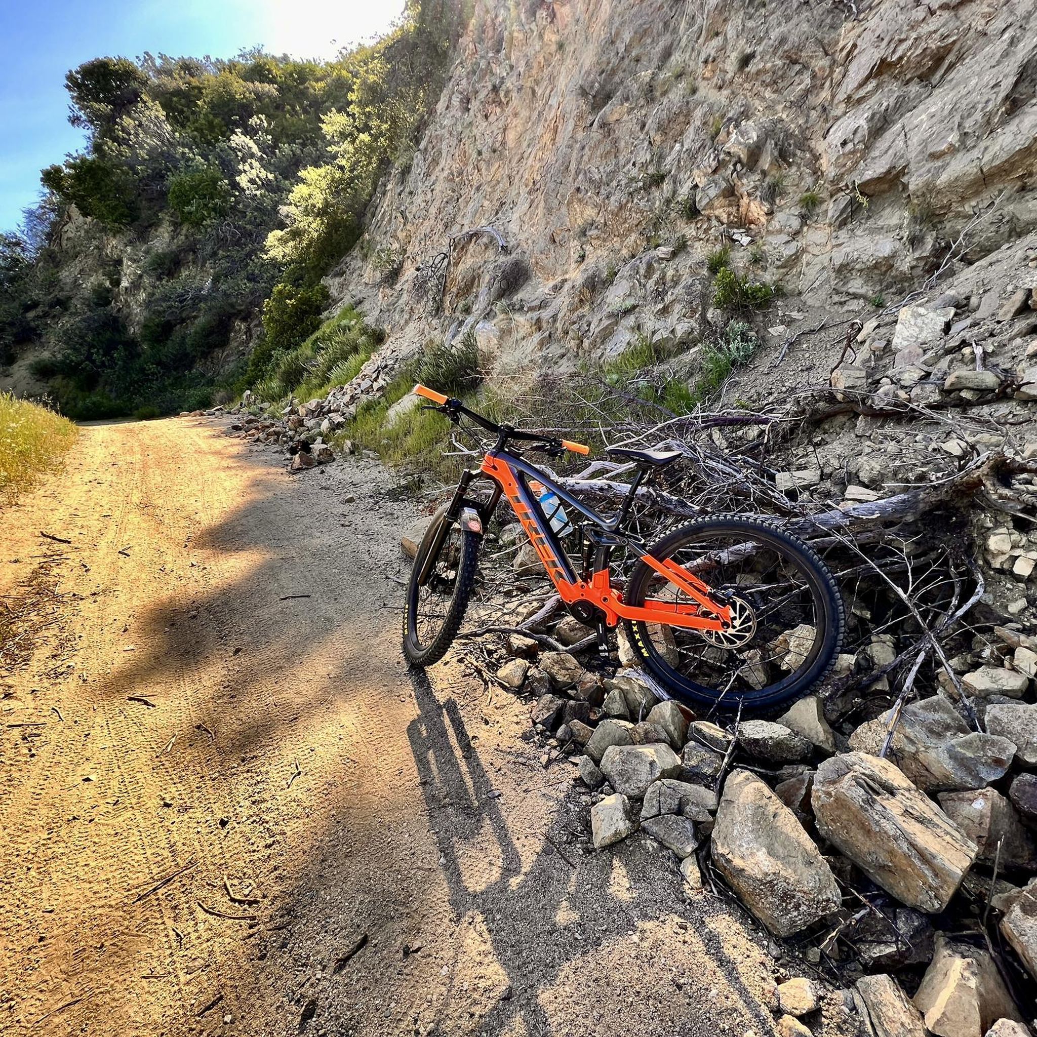
Placerita Canyon Road is a doubletrack dirt trail accessible for hiking or biking. A gate blocks vehicle access, and the road offers a scenic route trough the Placerita Canyon Natural Area.
1
0

This is a great, quiet section of Sierra Highway. There is a fairly wide shoulder as well, so there is ample room for cars to pass.
1
0

Golden Valley Bike Path is a great 5 mile popular paved path trail on the outskirts of Santa Clarita. It provides a great class I bike path. This means it is traffic free and has a lane for each direction of travel.
0
0
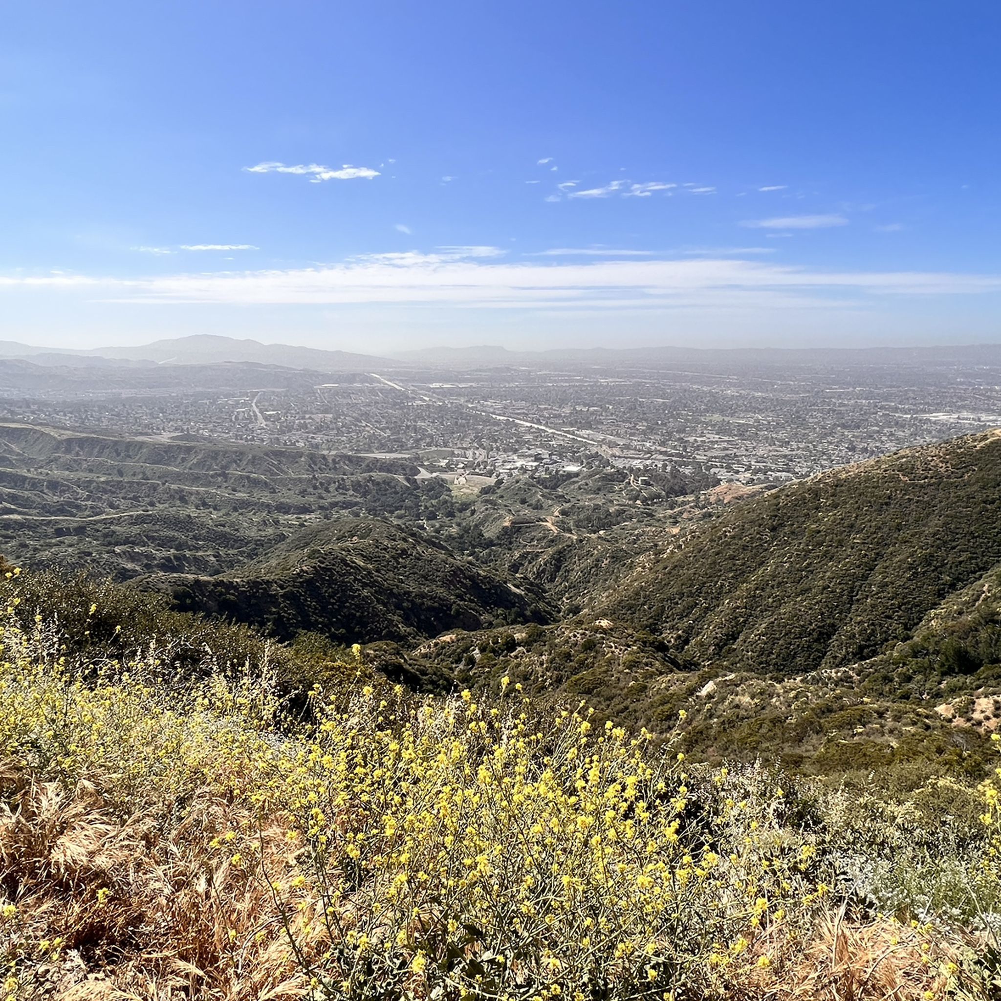
North of Los Angeles is a beautiful canyon. It runs from Newhall to Sand Canyon Road. This land was once occupied by Tataviam Native Americans. The canyon provides beautiful views of the western San Gabriel Mountains and it makes for a super good cycle section.
0
0

The San Francisquito Creek Trail travels through various parks and across different bridges on the banks of the Santa Clara River and San Francisquito Creek. The path is completely paved and goes on both sides of the creek, giving you the chance to run or cycle a loop depending on what trailhead you start at.
0
0
At about 84 miles long, the Santa Clara River is the largest natural river system in southern California remaining in a relatively undeveloped state. Along its length there is the 8 mile long Santa Clara River Trail, which is a paved bicycle and walking path in the city of Santa Clarita.
0
0
The San Francisquito Creek Trail travels through various parks and across different bridges on the banks of the Santa Clara River and San Francisquito Creek. The path is completely paved and goes on both sides of the creek, giving you the chance to run a loop depending on what trailhead you start at.
0
0
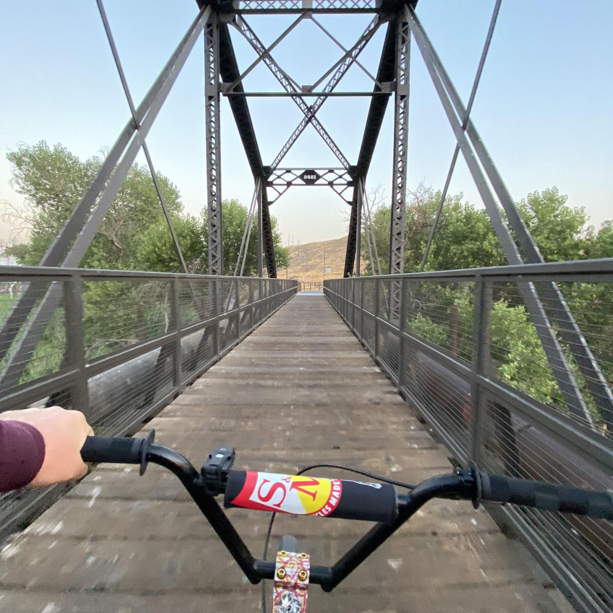
The Iron Horse Bridge is an old railway bridge that has now been turning into a pedestrian bridge. It is part of the South Fork River Trail and takes users over the Santa Clara River.
1
0
Frequently Asked Questions
How many road cycling routes are available in Santa Clarita?
Santa Clarita offers a wide selection of road cycling routes, with over 70 options available. These routes cater to various skill levels, from easy rides to challenging climbs.
What is the best time of year for road cycling in Santa Clarita?
Santa Clarita enjoys favorable weather year-round, making it an excellent destination for road cycling in any season. The mild climate ensures comfortable riding conditions for most of the year.
Are there easy road cycling routes suitable for beginners or families?
Yes, Santa Clarita has several easy road cycling options. The Santa Clara River and San Francisquito Creek Trail Loop is a moderate route that combines two major paved trails, offering diverse scenery. Additionally, the Santa Clara River Trail and the Golden Valley Bike Path are excellent paved, traffic-free options perfect for a relaxed ride.
Where can I find challenging road cycling routes with significant elevation gain?
For experienced cyclists seeking a challenge, Santa Clarita offers routes with substantial elevation changes. The Soledad Canyon Loop and the San Francisquito Canyon Loop are difficult routes with significant climbs through canyon terrain. The Placerita Canyon Road & Golden Valley bike lane loop also features over 5,000 feet of elevation gain.
Are there any loop road cycling routes in the area?
Yes, Santa Clarita features several excellent loop routes. Popular options include the Santa Clara River and San Francisquito Creek Trail Loop, the challenging Soledad Canyon Loop, and the scenic San Francisquito Canyon Loop.
What natural attractions can I see along the road cycling routes?
Many routes offer views of Santa Clarita's natural beauty. You might cycle past the dramatic rock formations of Vasquez Rocks Natural Area Park, explore the oak woodlands of Placerita Canyon Natural Area, or follow the Santa Clara River, Southern California's largest natural river system. The Lake Elizabeth Loop also provides scenic views around the lake.
Are there any historical sites or landmarks to explore near the cycling routes?
Yes, the region has historical significance. Placerita Canyon Natural Area is known as the site of California's first gold discovery. Additionally, Pico Canyon, within the Santa Clarita Woodlands Park, offers a glimpse into California's early oil history. You can find more information about these areas through local guides.
What do other road cyclists enjoy most about cycling in Santa Clarita?
The area is highly rated by the komoot community, with an average score of 4.5 stars from over 30 reviews. Cyclists frequently praise the diverse landscapes, from canyon roads to river trails, and the variety of routes that cater to all ability levels. The extensive network of trails and paseos, combined with the scenic views of the San Gabriel Mountains, are often highlighted.
Are there paved, traffic-free paths for cycling?
Absolutely. The Golden Valley Bike Path is a popular 5-mile paved, traffic-free path with dedicated lanes. The Santa Clara River Trail and sections of the San Francisquito Creek Trail are also fully paved, offering safe and enjoyable rides away from vehicle traffic.
Can I find routes that lead to other regions or attractions outside Santa Clarita?
Yes, some canyon roads like San Francisquito Road, Bouquet Canyon Road, and Sand Canyon Road can connect you to areas such as Elizabeth Lake/Lake Hughes, or even provide routes towards the San Fernando Valley. For longer adventures, some paths can lead towards the beaches of Ventura and Oxnard via Highway 126.
Are there specific parks or natural areas that are particularly good for road cycling?
The Placerita Canyon Natural Area offers scenic routes through oak woodlands. The Santa Clarita Woodlands Park, encompassing East and Rice Canyons, provides lush vegetation and shaded trails. These areas offer a beautiful backdrop for a ride, often with varied terrain.
Most popular routes around Santa Clarita
Most popular attractions around Santa Clarita

Get inspired with the komoot mobile app


Explore more
Browse the best Road cycling routes in other regions.
