The best mountain hikes around Sankt Amarin
4.3
(6)
32
hikers
13
hikes
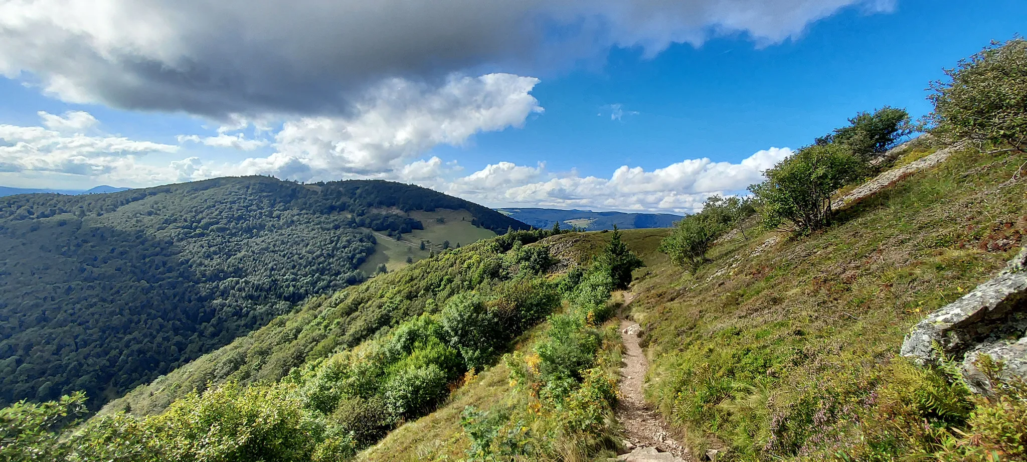
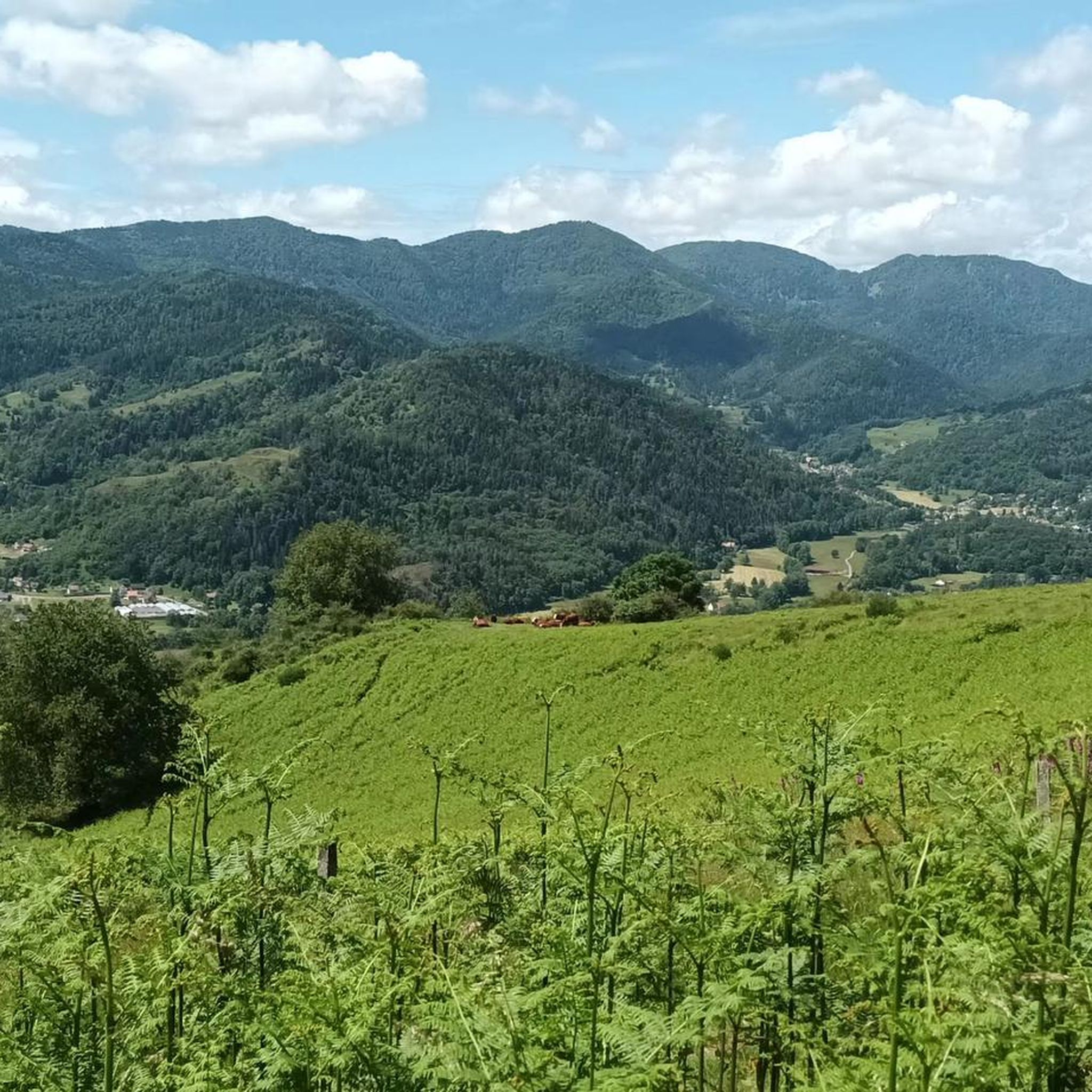
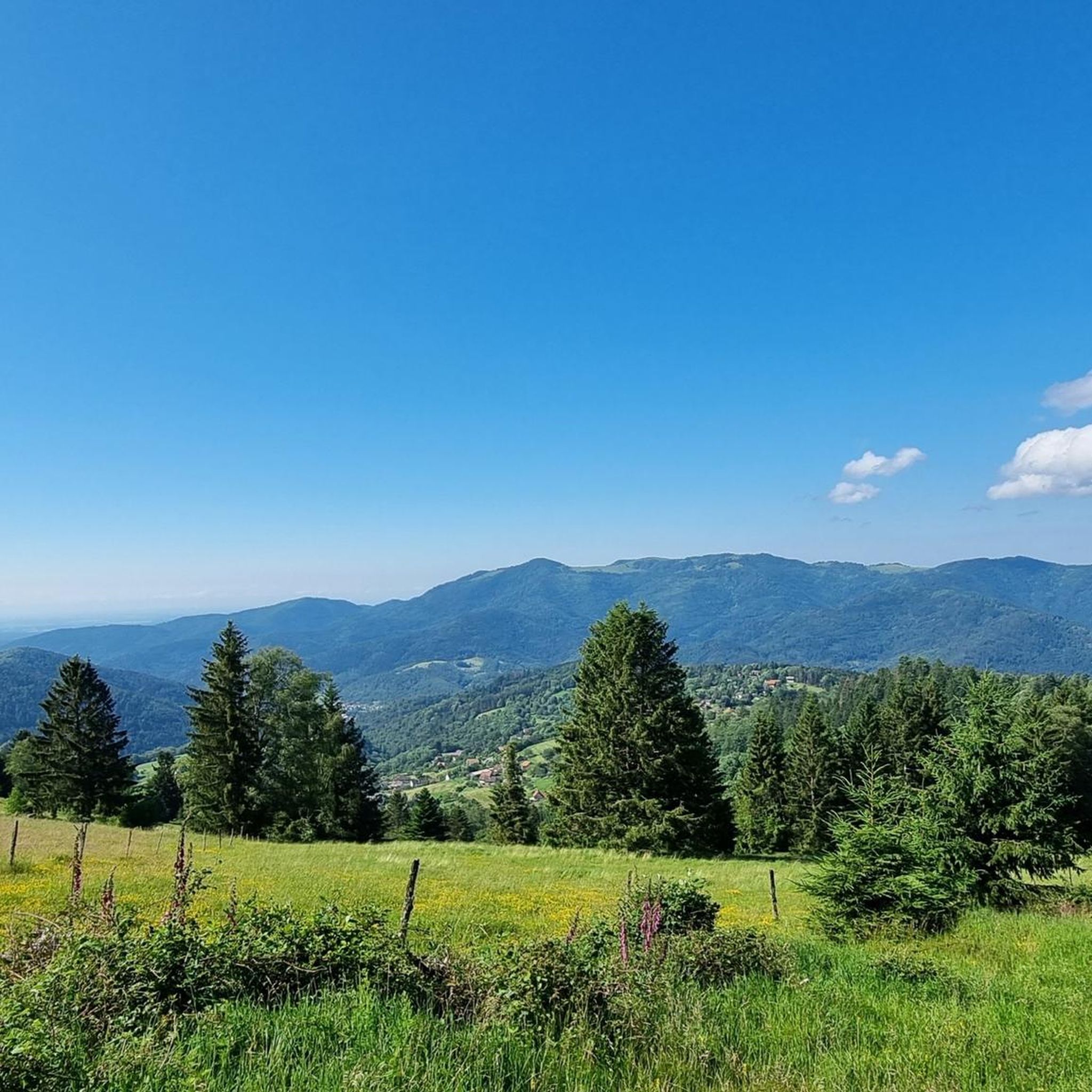
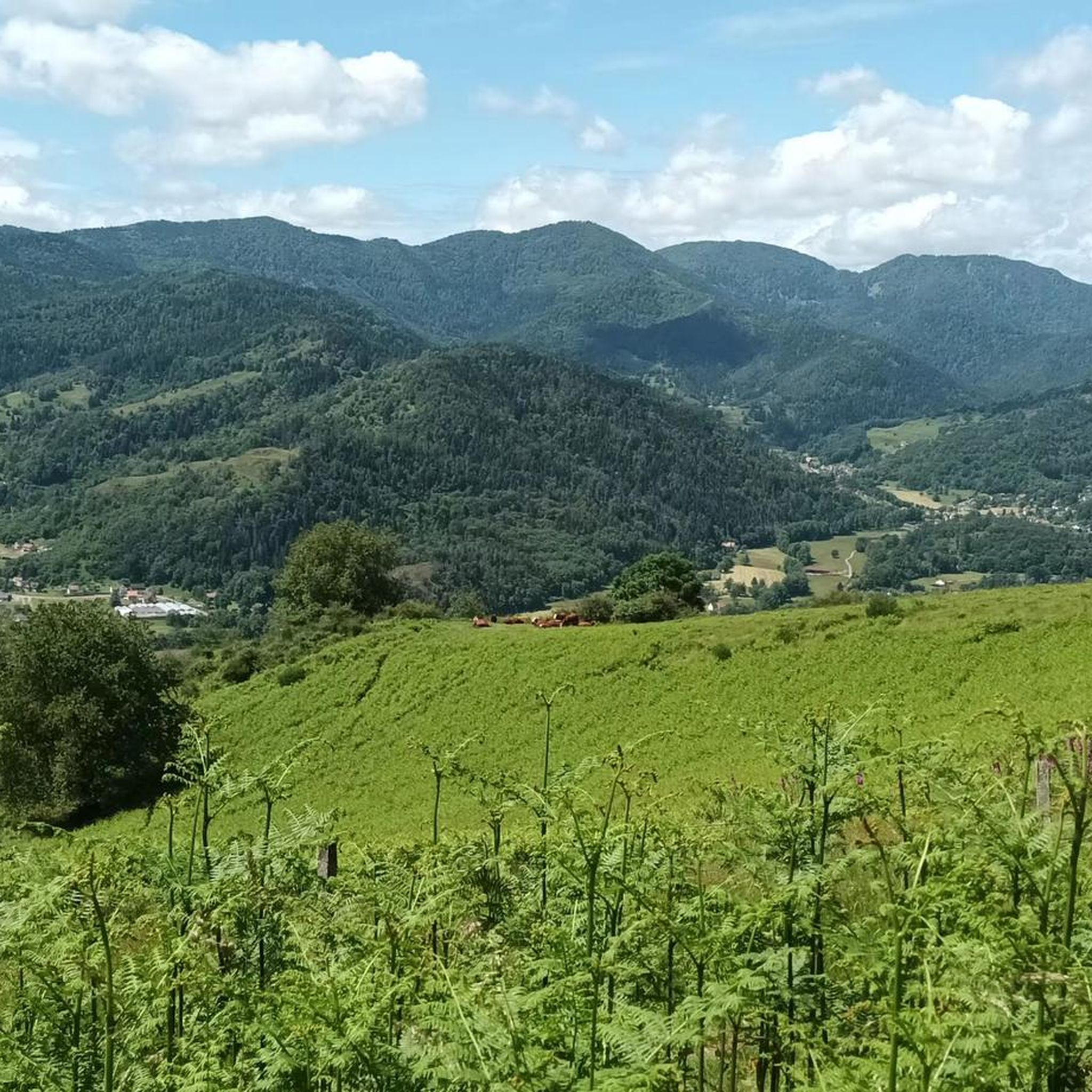
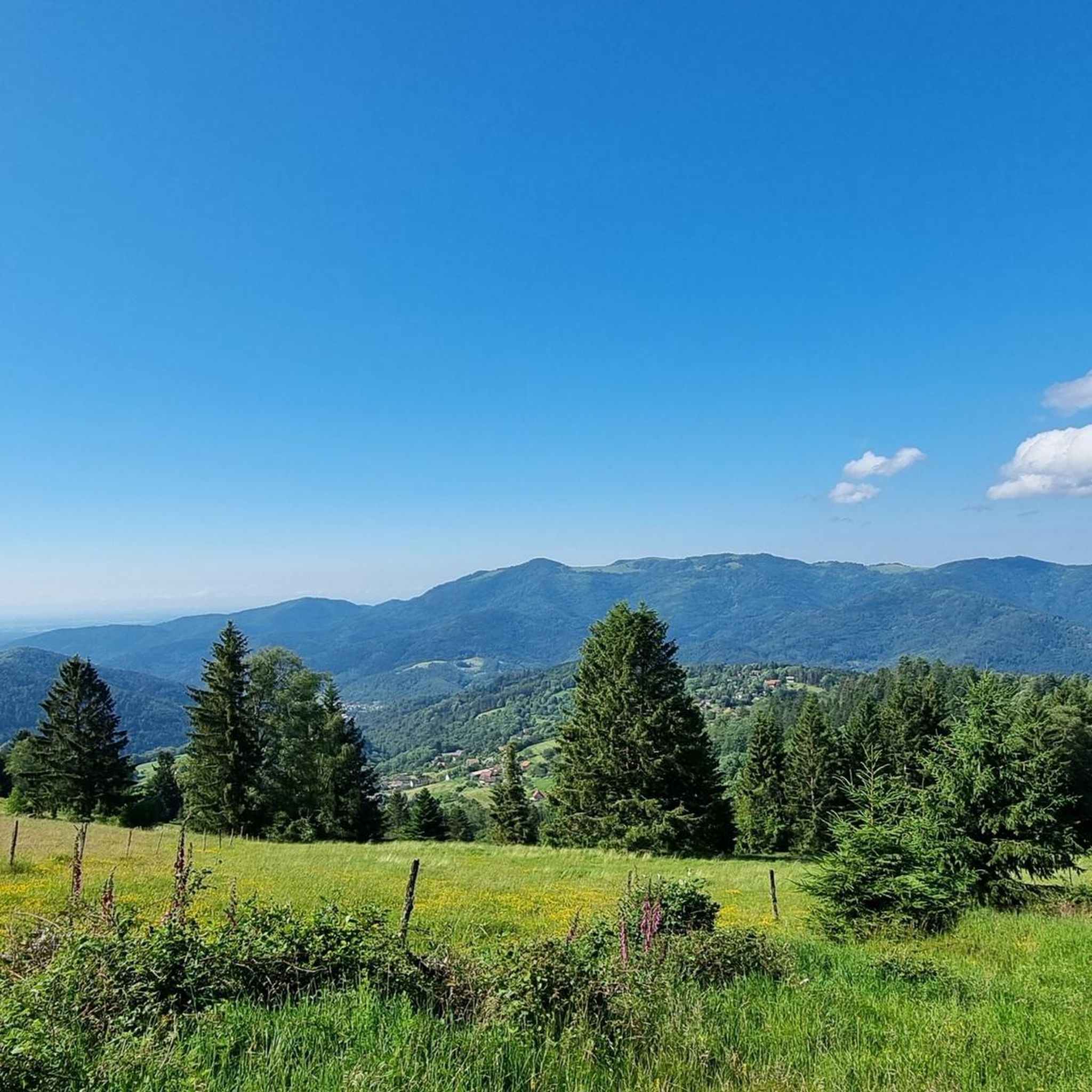
Mountaineering around Sankt Amarin is characterized by its location within the Vosges Massif, offering a diverse range of mountainous terrain and enchanting forest paths. The region features significant peaks like the Grand Ballon, the highest point in the Vosges, providing panoramic vistas. Trails often traverse green, hilly landscapes and offer views of the scenic Thur Valley.
Best mountaineering routes around Sankt Amarin
- The most popular mountaineering route is Grand Ballon – Panoramic view from the Grand Ballon summit loop from…
Last updated: July 12, 2026
5.0
(2)
7
hikers
Moderate mountaineering route. Great for any fitness level. Mostly accessible paths. Sure-footedness required.
3
hikers
13.7km
04:39
670m
670m
Moderate mountaineering route. Good fitness required. Mostly accessible paths. Sure-footedness required.

Sign up for free
5
hikers
15.5km
04:58
640m
640m
Moderate mountaineering route. Good fitness required. Easily-accessible paths. Suitable for all skill levels.
3
hikers
13.9km
04:10
430m
430m
Moderate mountaineering route. Good fitness required. Easily-accessible paths. Suitable for all skill levels.
3.0
(1)
4
hikers
14.7km
05:11
790m
790m
Hard mountaineering route. Very good fitness required. Mostly accessible paths. Sure-footedness required.
Get access to more routes and recommendations from other explorers.
Sign up for free
Already have an account?
Our route recommendations are based on thousands of hikes, rides, and runs completed by other people on komoot.
Start today with a free account
Your next adventure awaits.
Login or Signup
Popular around Sankt Amarin



Tips from the Community

The refuge volunteers are very warm. It is possible to eat your packed lunch provided you consume the drinks on sale. Their price is low. In addition, the view is magnificent.
0
0
The GR 531 trail section of Bocklochkopf is closed annually from 01/12 to 30/04.
0
0

Between December 1st and June 30th, the section of the GR532 connecting the Oberlauchen pass to the Lauchen pass via the Klintzkopf is prohibited. This is indeed an area where very fragile fauna, such as the capercaillie, has established itself. Controls are regularly carried out and the fine is steep. Therefore, prefer the forest road that also leads to the Lauchen pass!
1
0

Beautiful hike and beautiful viewpoint
1
0

The Vosges nature reserve remains beautiful.
0
0

very beautiful view, you can sometimes see the Alps.
0
0


The artificially created, yet idyllically situated "Lac de la Lauch" lake is featured in the komoot system not only for joggers, but also as a highlight for various sports, including hikers, with many more photos uploaded there. If you're interested, see =>>https://www.komoot.com/de-de/highlight/308200
0
0
Frequently Asked Questions
How many mountaineering routes are available around Sankt Amarin?
There are over 10 mountaineering routes available around Sankt Amarin, offering a diverse range of experiences within the Vosges Massif. These routes cater to various fitness levels, from moderate ascents to more challenging mountain trails.
Are there any easy mountaineering routes suitable for beginners or families?
While many routes are moderate to difficult, some options are less strenuous. For example, the Grand Ballon – Panoramic view from the Grand Ballon summit loop from Grand Ballon is a shorter, moderate route that offers expansive views without extreme difficulty, making it a good option for those with some hiking experience.
What kind of terrain can I expect on mountaineering routes in the Vosges Massif?
The terrain around Sankt Amarin, nestled in the Vosges Massif, is characterized by mountainous landscapes, enchanting forest paths, and green, hilly areas. You can expect varied surfaces, from well-trodden paths to rocky sections, especially on higher elevations. Some routes offer stunning panoramas of the Thur Valley and, on clear days, even the Swiss Alps.
Can I find circular mountaineering routes in the Sankt Amarin area?
Yes, many mountaineering routes in the Sankt Amarin area are designed as loops. Examples include the Le Grand Ventron – Petit Ventron loop from Kruth and the Hundsruck Pass – Panoramic view loop from Bourbach-le-Haut, allowing you to start and end at the same point.
Are there any routes that pass by waterfalls or lakes?
Yes, the region boasts several natural water features. You can find routes that lead near beautiful waterfalls such as the Bockloch Waterfall or the Siehlbaechle Waterfall. Additionally, the Markstein – Lake Lauch loop from Le Markstein offers views of the scenic Ballon Lake.
What are some notable landmarks or viewpoints I can see on these routes?
The region is rich in natural landmarks and viewpoints. Many routes offer panoramic views of the Grand Ballon, the highest peak in the Vosges. Other notable points include the Petit Ballon and the mountain pass of Markstein, all offering spectacular vistas of the surrounding mountains and valleys.
Is it possible to bring dogs on the mountaineering trails around Sankt Amarin?
Many trails in the Vosges Massif are dog-friendly, but it's always advisable to keep your dog on a leash, especially in nature reserves or areas with livestock. Be sure to check specific trail regulations before you go, and always carry water for your pet.
What do other mountaineers say about the routes in Sankt Amarin?
The mountaineering routes around Sankt Amarin are highly rated by the komoot community, with an average score of 4.3 stars. Reviewers often praise the diverse mountainous terrain, the enchanting forest paths, and the stunning panoramic views, particularly those of the Grand Ballon and the Thur Valley.
Are there options for longer, multi-day mountaineering adventures?
Yes, for those seeking more extensive trekking, the GR 5 long-distance trail, which connects the North Sea to the Mediterranean, passes through the Vosges Massif. This includes sections relevant to Sankt Amarin, such as the Grande Traversée des Vosges, providing opportunities for multi-day adventures across the region.
What is the best time of year for mountaineering in Sankt Amarin?
The best time for mountaineering in Sankt Amarin is typically from late spring to early autumn (May to October), when the weather is generally mild, and trails are clear of snow. During these months, you'll experience lush landscapes and optimal conditions for enjoying the panoramic views.
Are there any specific considerations for winter mountaineering in the region?
Winter mountaineering in the Vosges Massif can be challenging and requires appropriate gear and experience. Trails may be covered in snow and ice, and conditions can change rapidly. It's crucial to check weather forecasts, avalanche warnings, and trail conditions before heading out, and consider using snowshoes or crampons.
How can I access the mountaineering routes using public transport?
While some trailheads might be accessible by local bus services, public transport options can be limited in mountainous regions. It's recommended to research specific routes and their proximity to bus stops or train stations in advance. Planning your journey with local transport schedules is key.
Are there parking facilities available near the trailheads?
Many popular trailheads and starting points for mountaineering routes in the Sankt Amarin area, especially those leading to major attractions like the Grand Ballon, typically have designated parking areas. However, during peak season, these can fill up quickly, so arriving early is advisable.
Are there any places to stop for refreshments or food along the routes?
Yes, especially near popular peaks or in valleys, you might find traditional farm-inns (ferme-auberges) or small cafes. For instance, near the Grand Ballon, at an altitude of 1,233 meters, hikers can find the Haag farm-inn, offering a chance to refuel and rest during your mountaineering adventure.
Most popular routes around Sankt Amarin
Most popular attractions around Sankt Amarin

Get inspired with the komoot mobile app


Explore more
Browse the best Mountain Hikes & Routes in other regions.
